Fish Passage Site 20502150
Coordinates (dec. deg.): 62.35340°, -150.25304°
Legal Description: S026N005W08
Region: South Central
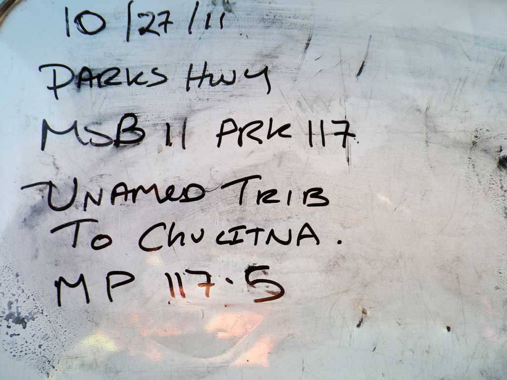
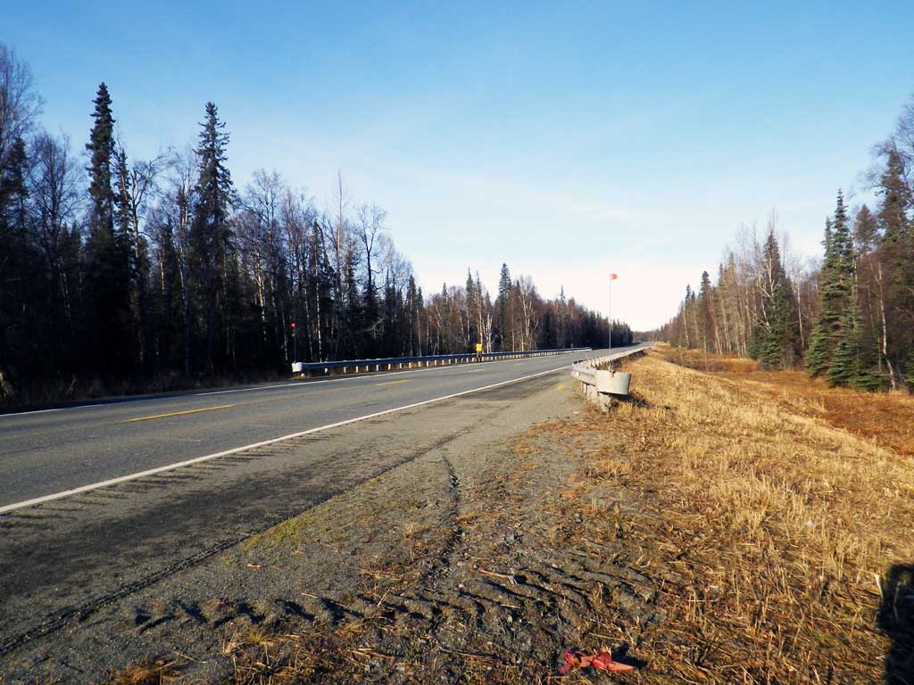
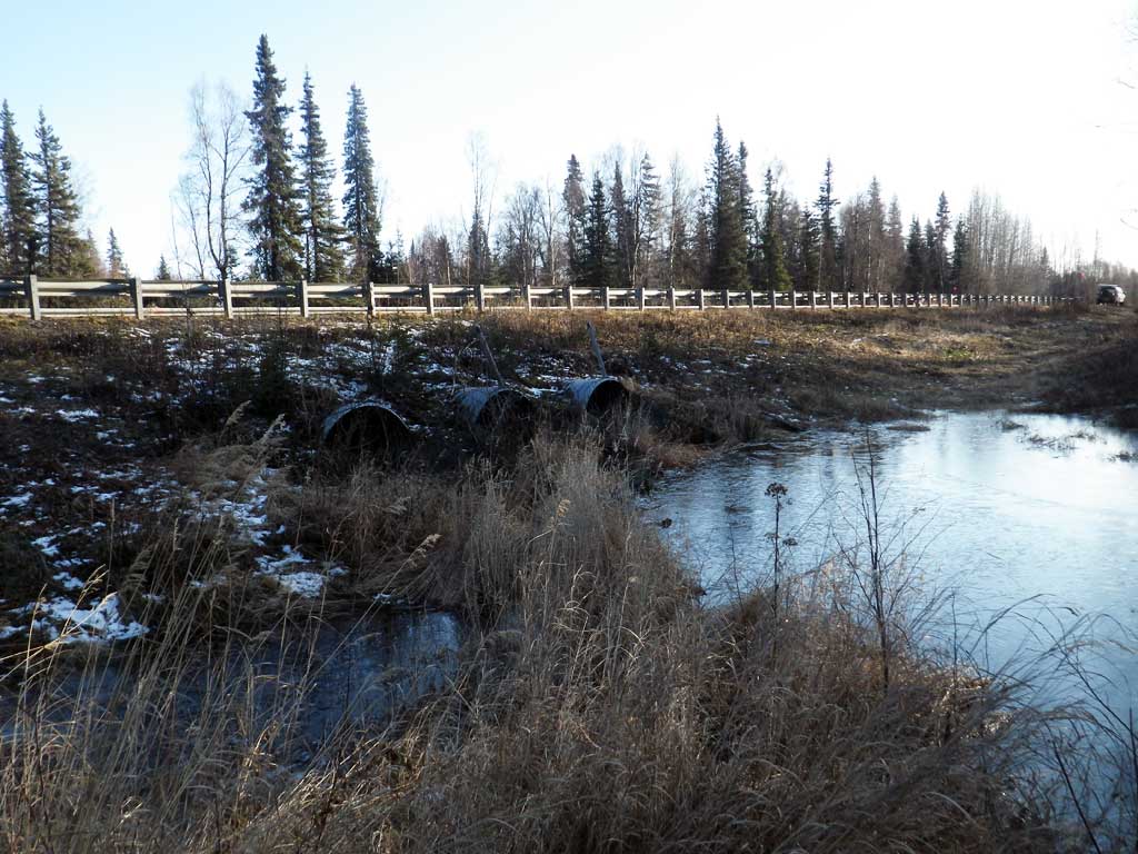
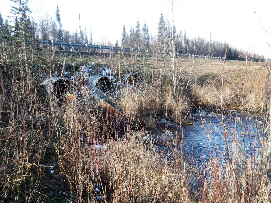
Road Name: Parks Highway
Datum: NAD83
Quad Name / ITM: Talkeetna B-1
AWC Stream #:
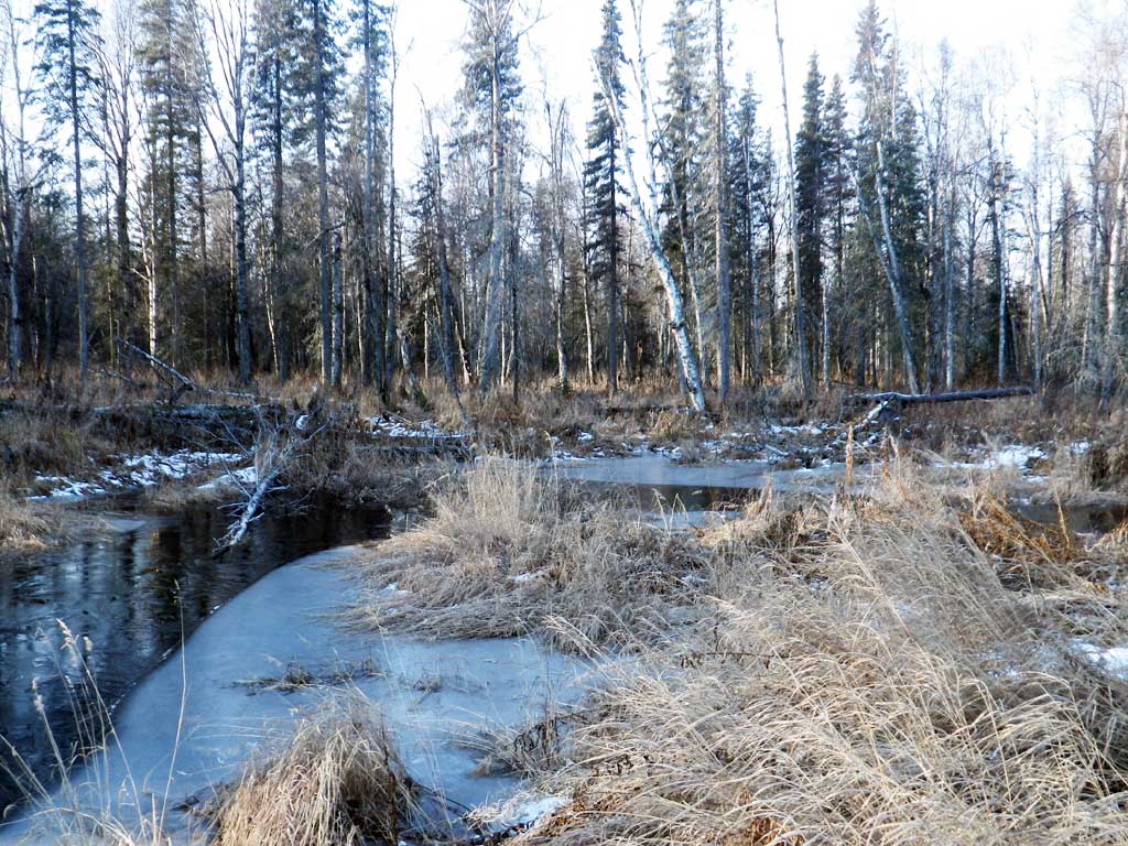
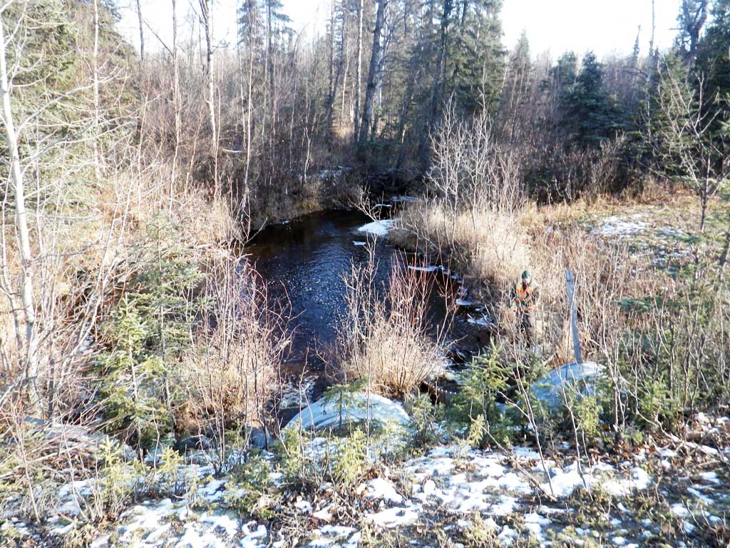
Stream Name: Chulitna River tributary
Elevation:
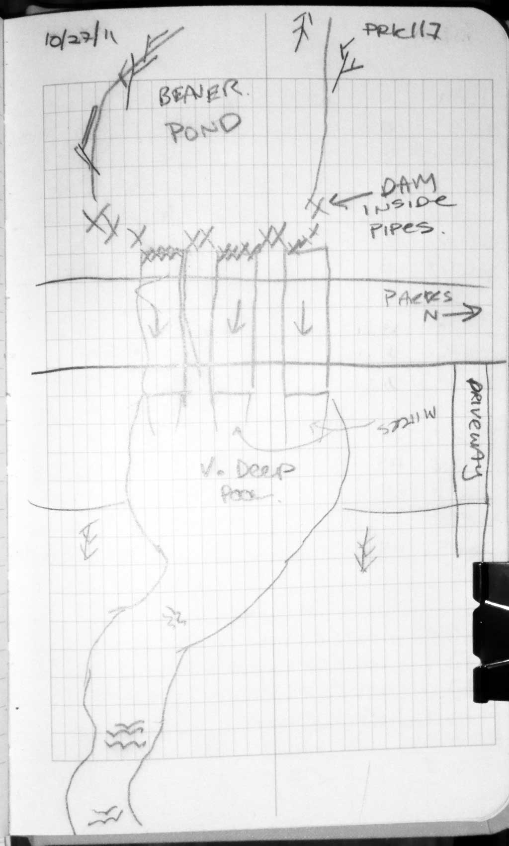
Site Comments: This culvert is at approx. MP117.5.
Survey MSB11-PRK117
Project Supervisor: Gillian O'Doherty, Alaska Department of Fish and Game
— Anchorage, AK
Observers: Gillian O'Doherty, Mark Eisenman
Overall Fish Passage Rating:
Tidal: No
Backwatered: No
Step Pools: No
Construction Year:
Site Observations:
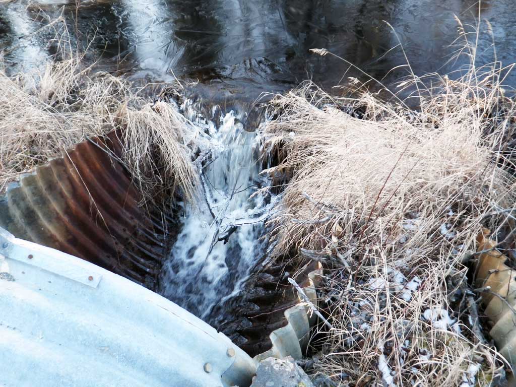
- Outfall height red
- Constriction ratio gray
- Beaver Activity
- Inlet perch
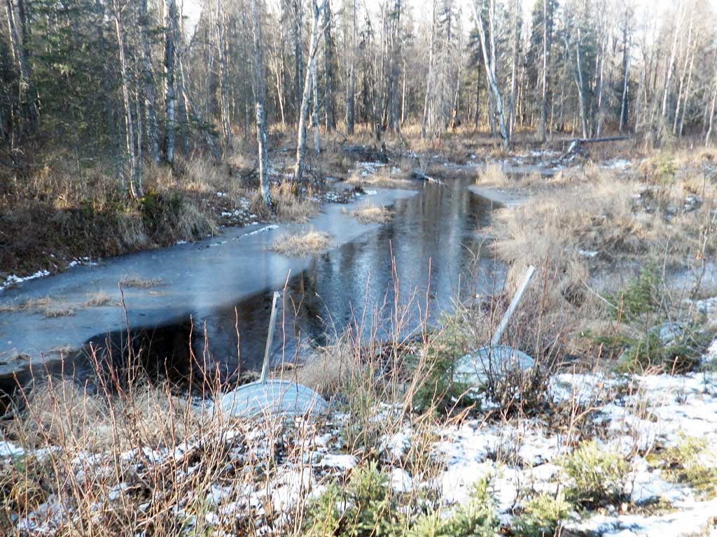
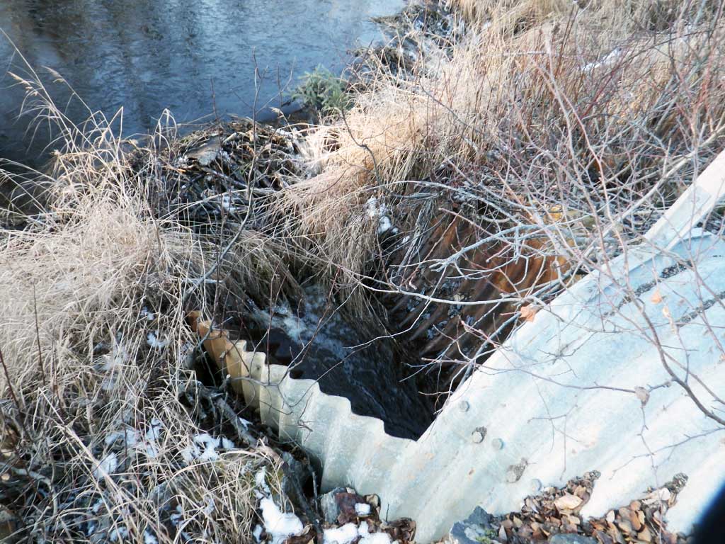
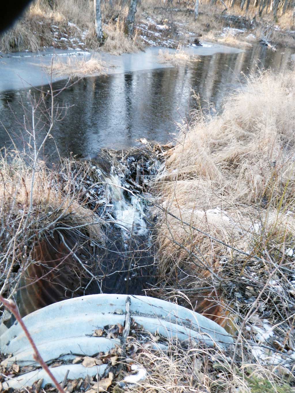
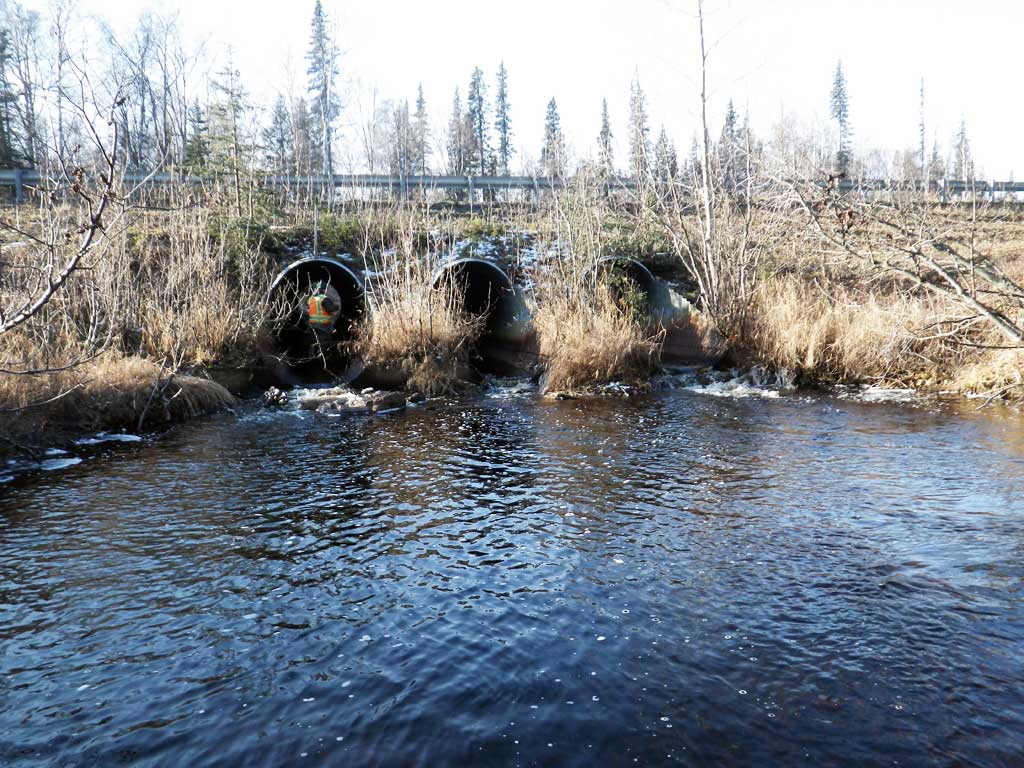
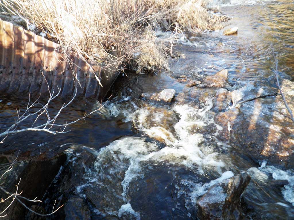
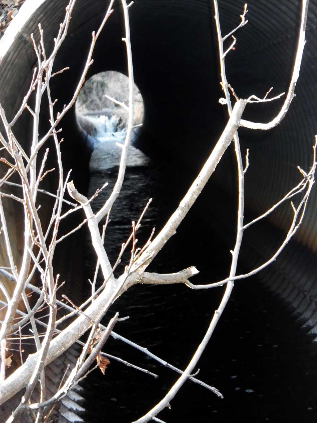
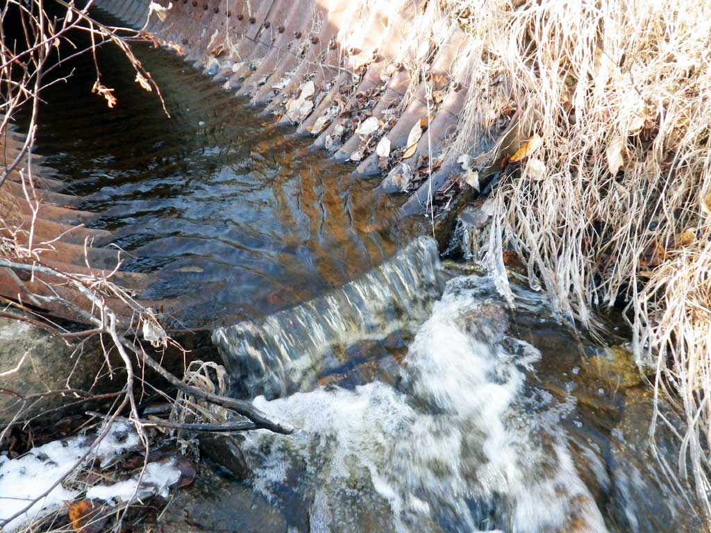
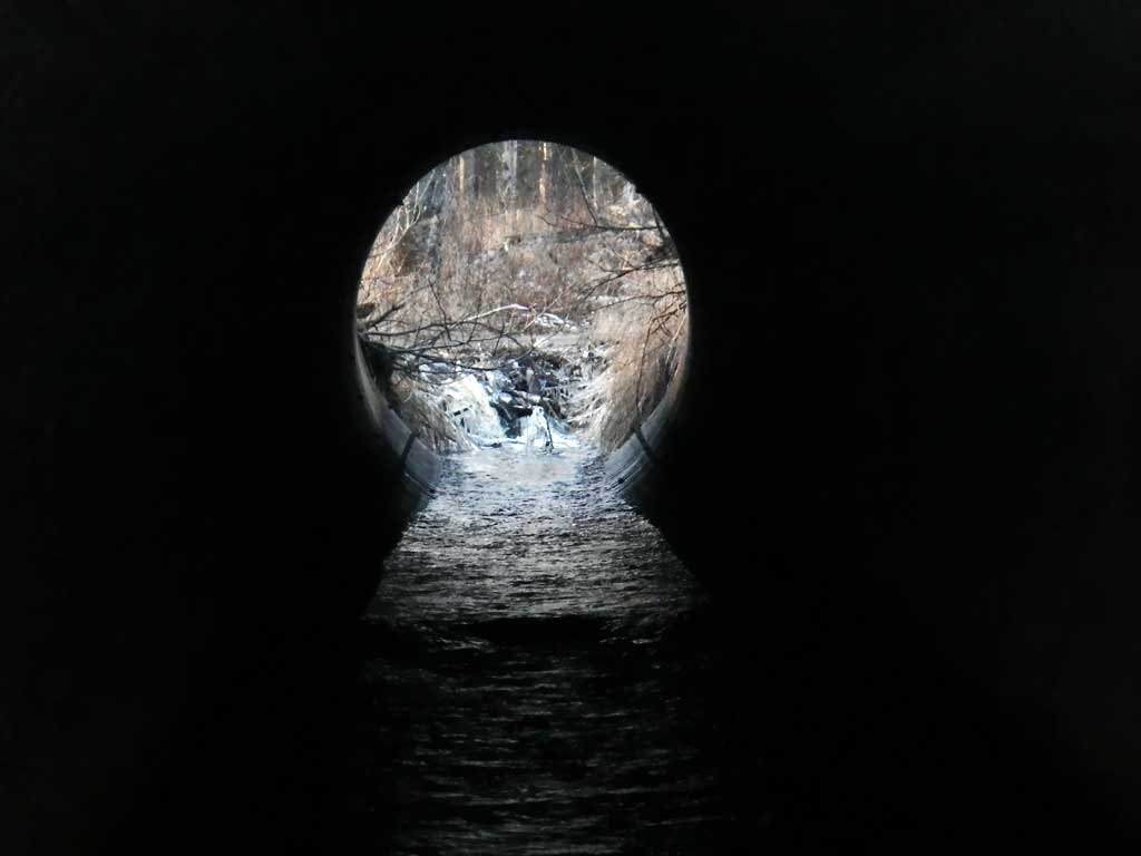
Comments: There is a large beaver dam directly upstream from culvert inlets. Height is about 3.5 feet tall. Site is a Structure class 5 but all culverts rates as 2's. Site was very icyat time of survey so low flow. Very large and deep outlet pool. Large boulder rip rap set below outlets.
Culvert Measurements
| ID: 1 | Structure Type: Oval (Structural steel plate) | Fish Passage Rating: | |||||||||||||||||||||||||||||||||||||||||
|
|
|
|||||||||||||||||||||||||||||||||||||||||
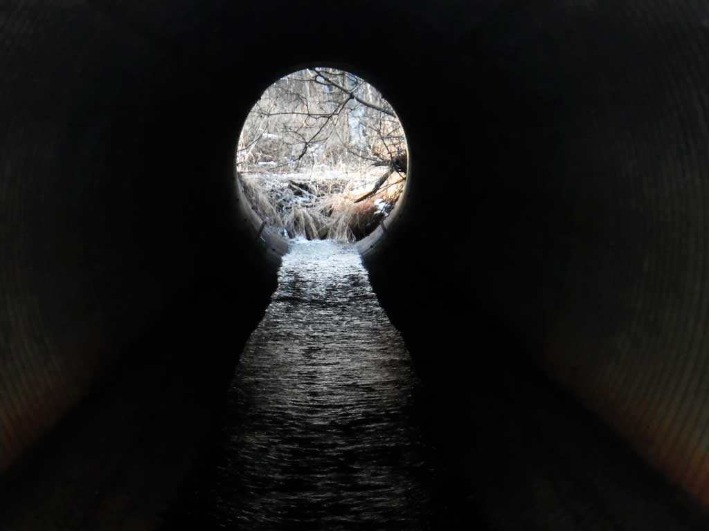
Comments: Apron Lengths are lengths of miter. Culvert lengths are taken from the tops of the miter. Total culvert length including mites is 106 feet. No approach angle beaver pond U/S. |
|||||||||||||||||||||||||||||||||||||||||||
Culvert Observations:
|
|||||||||||||||||||||||||||||||||||||||||||
| ID: 2 | Structure Type: Oval (Structural steel plate) | Fish Passage Rating: | |||||||||||||||||||||||||||||||||||||||||
|
|
|
|||||||||||||||||||||||||||||||||||||||||
Comments: Apron Lengths are lengths of miter. Culvert lengths are taken from the tops of the miter. Total culvert length including miters is 106 feet. |
|||||||||||||||||||||||||||||||||||||||||||
Culvert Observations:
|
|||||||||||||||||||||||||||||||||||||||||||
| ID: 3 | Structure Type: Oval (Structural steel plate) | Fish Passage Rating: | |||||||||||||||||||||||||||||||||||||||||
|
|
|
|||||||||||||||||||||||||||||||||||||||||
Comments: Apron Lengths are lengths of miter. Culvert lengths are taken from the tops of the miter. Total culvert length including mites is 106 feet. |
|||||||||||||||||||||||||||||||||||||||||||
Culvert Observations:
|
|||||||||||||||||||||||||||||||||||||||||||
Stream Measurements
|
|
| Stream Width Type | Distance From Crossing (ft) |
Stream Width (ft) |
|---|---|---|
| Downstream ordinary high water | 16.00 | |
| Downstream ordinary high water | 16.50 | |
| Downstream ordinary high water | 14.30 |
Elevations
| Locator ID | Culvert Number |
River Distance (ft)1 |
Distance From Crossing (ft)2 |
Relative Elevation (ft) |
|---|---|---|---|---|
| Road Elev | 97.69 | |||
| D/S Water Surface Elev (tailwater surface) | 0.00 | 83.70 | ||
| Outlet Invert (on pipe, end of miter) | 1 | 8.00 | 84.03 | |
| Outlet Invert (on pipe, end of miter) | 3 | 8.00 | 84.06 | |
| Outlet Invert (on pipe, end of miter) | 2 | 8.00 | 84.06 | |
| D/S Water Surface Elev | 2 | 8.00 | 84.34 | |
| D/S Water Surface Elev | 1 | 8.00 | 84.42 | |
| D/S Water Surface Elev | 3 | 8.00 | 84.43 | |
| Outlet Culvert Top (top of miter) | 2 | 21.00 | 91.44 | |
| Outlet Culvert Top (top of miter) | 1 | 21.00 | 91.50 | |
| Outlet Culvert Top (top of miter) | 3 | 21.00 | 91.59 | |
| Inlet Culvert Top (top of miter) | 3 | 104.00 | 92.25 | |
| Inlet Culvert Top (top of miter) | 1 | 104.00 | 92.27 | |
| Inlet Culvert Top (top of miter) | 2 | 104.00 | 92.33 | |
| U/S Water Surface Elev (Water surface above beaver dam.) | 114.00 | 87.86 |
Notes:
- River distance is measured continuously throughout the survey reach along the thalweg of the stream.
- Measured from each end of the crossing along the thalweg of the stream.
Fish Sampling Efforts
No fish sampling occurred during this survey.
Fish Observations
No fish observations occurred during this survey.
Photos
Questions or comments about this report can be directed to dfg.dsf.webmaster@alaska.gov