Fish Passage Site 20502149
Coordinates (dec. deg.): 62.34004°, -150.24846°
Legal Description: S026N005W17
Region: South Central
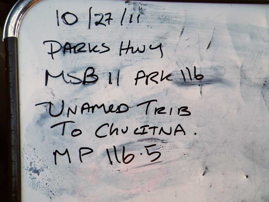
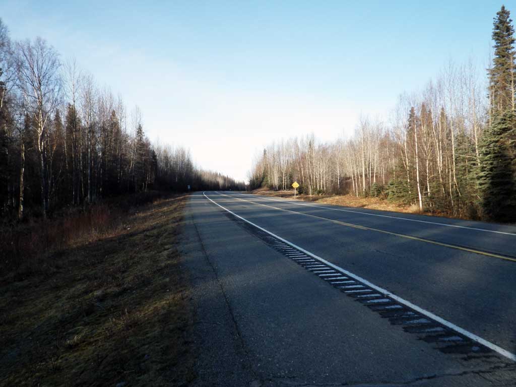
Road Name: Parks Highway
Datum: NAD83
Quad Name / ITM: Talkeetna B-1
AWC Stream #:
Stream Name: Chulitna River tributary
Elevation:
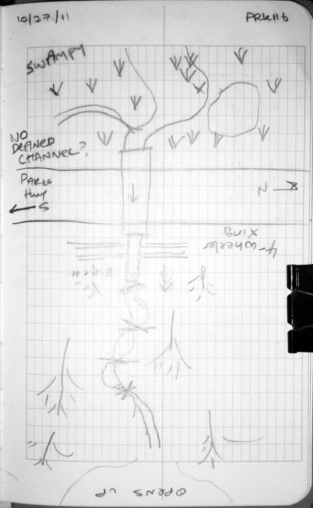
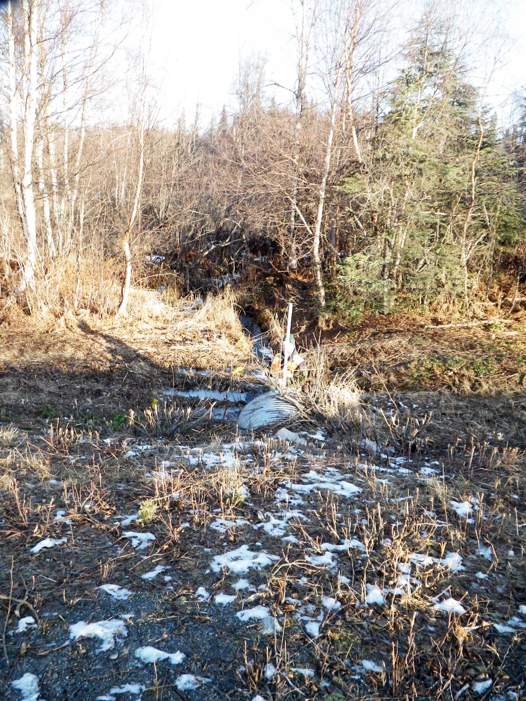
Site Comments: Culvert is at apporx MP 116.6.
Survey MSB11-PRK116
Project Supervisor: Gillian O'Doherty, Alaska Department of Fish and Game
— Anchorage, AK
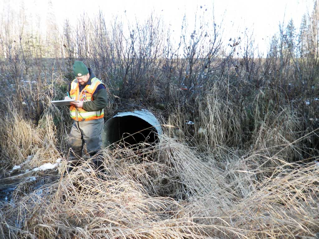
Observers: Gillian O'Doherty, Mark Eisenman
Overall Fish Passage Rating:
Tidal: No
Backwatered: No
Step Pools: No
Construction Year:
Site Observations:
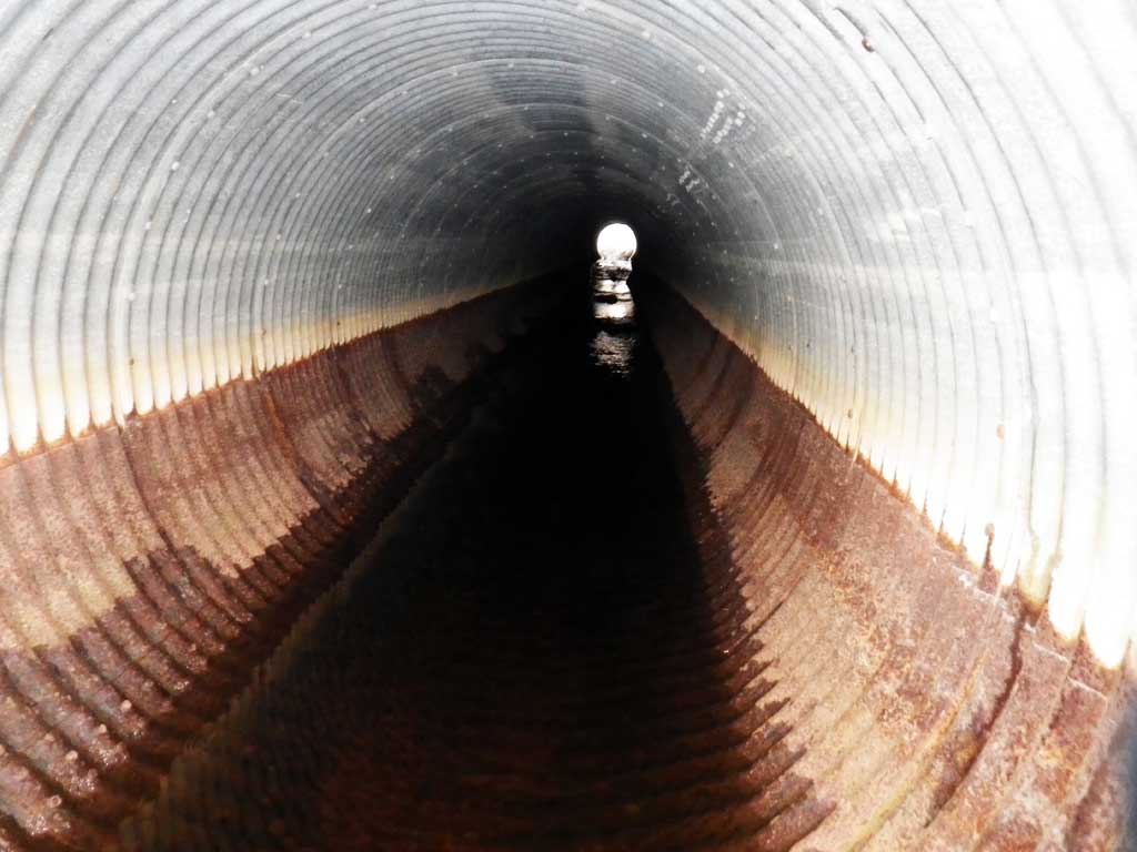
- Culvert gradient gray
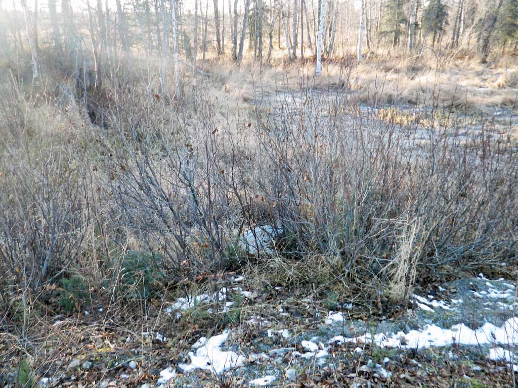
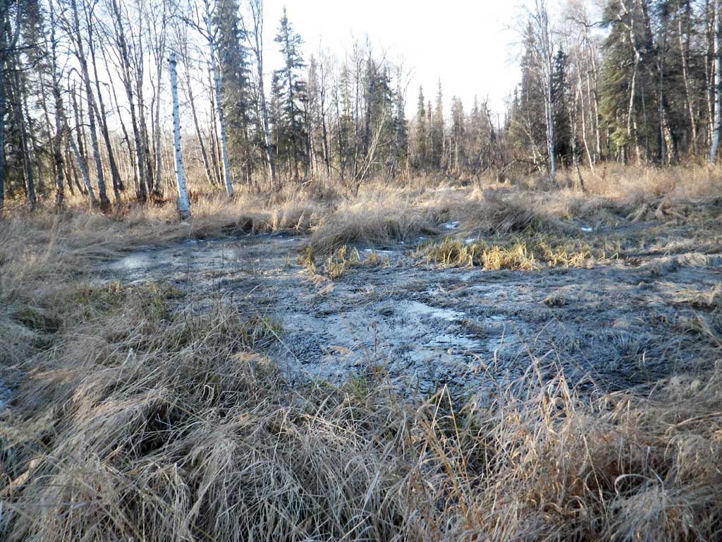
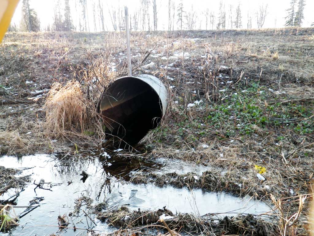
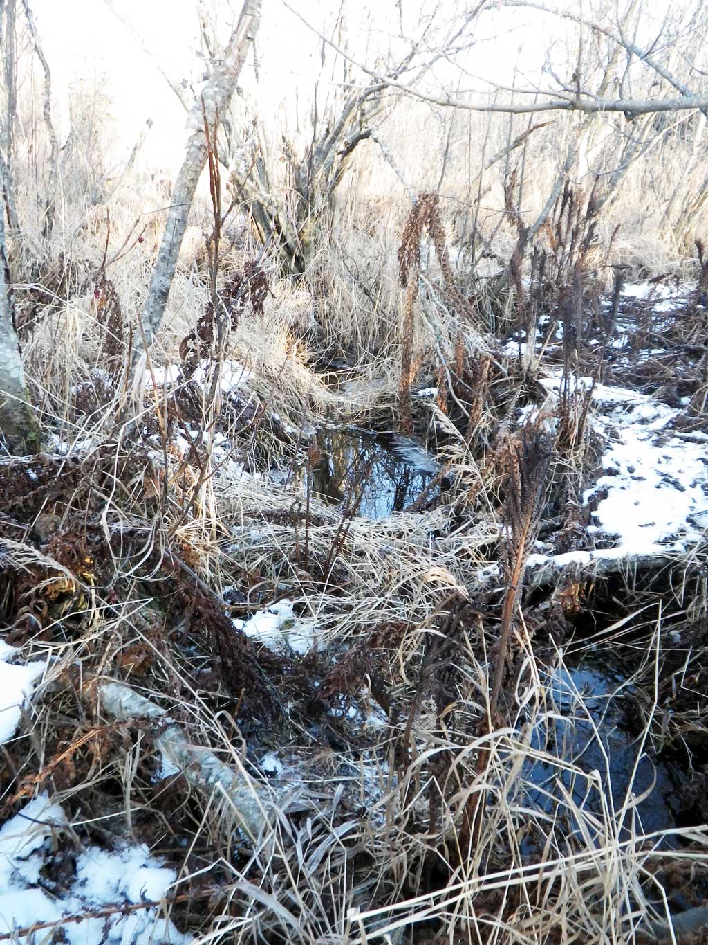
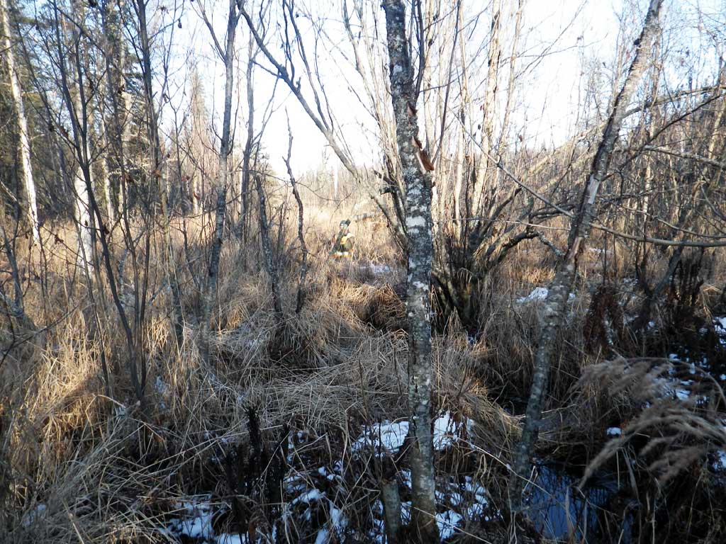
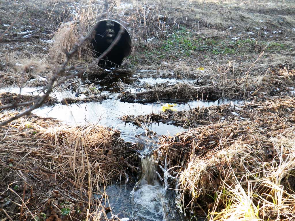
Comments: Indeterminate channel U/S, small channel downstream. ATV trail runs through creek D/S. Stream eventually enters meadow/marsh area downstream and joins up with creek crossing at PRK117. Creek runs fairly flat with few to no grade points downstream from crossing. No fish trapping due to cold temps.
Culvert Measurements
| ID: 1 | Structure Type: Circular pipe (Corrugated steel) | Fish Passage Rating: | |||||||||||||||||||||||||||||||||||||||||
|
|
|
|||||||||||||||||||||||||||||||||||||||||
Culvert Observations:
|
|||||||||||||||||||||||||||||||||||||||||||
Stream Measurements
|
|
No stream width data available.
Elevations
| Locator ID | Culvert Number |
River Distance (ft)1 |
Distance From Crossing (ft)2 |
Relative Elevation (ft) |
|---|---|---|---|---|
| Road Elev | 102.03 | |||
| D/S Grade Ctrl (Thalweg) (Log debris dam) | 0.00 | 90.35 | ||
| D/S Water Surface Elev | 0.00 | 90.62 | ||
| D/S Grade Ctrl (Thalweg) (step made by atv path) | 15.00 | 91.28 | ||
| D/S Water Surface Elev | 15.00 | 91.65 | ||
| D/S Water Surface Elev | 31.00 | 91.75 | ||
| Outlet Invert (on pipe) | 31.00 | 91.33 | ||
| Outlet Culvert Top | 31.00 | 95.32 | ||
| Inlet Culvert Top | 131.50 | 96.15 | ||
| Inlet Culvert Invert (on substrate) | 131.50 | 92.08 | ||
| U/S Water Surface Elev | 131.50 | 92.60 | ||
| U/S Water Surface Elev (headwater surface) | 136.50 | 93.19 |
Notes:
- River distance is measured continuously throughout the survey reach along the thalweg of the stream.
- Measured from each end of the crossing along the thalweg of the stream.
Fish Sampling Efforts
No fish sampling occurred during this survey.
Fish Observations
No fish observations occurred during this survey.
Photos
Questions or comments about this report can be directed to dfg.dsf.webmaster@alaska.gov