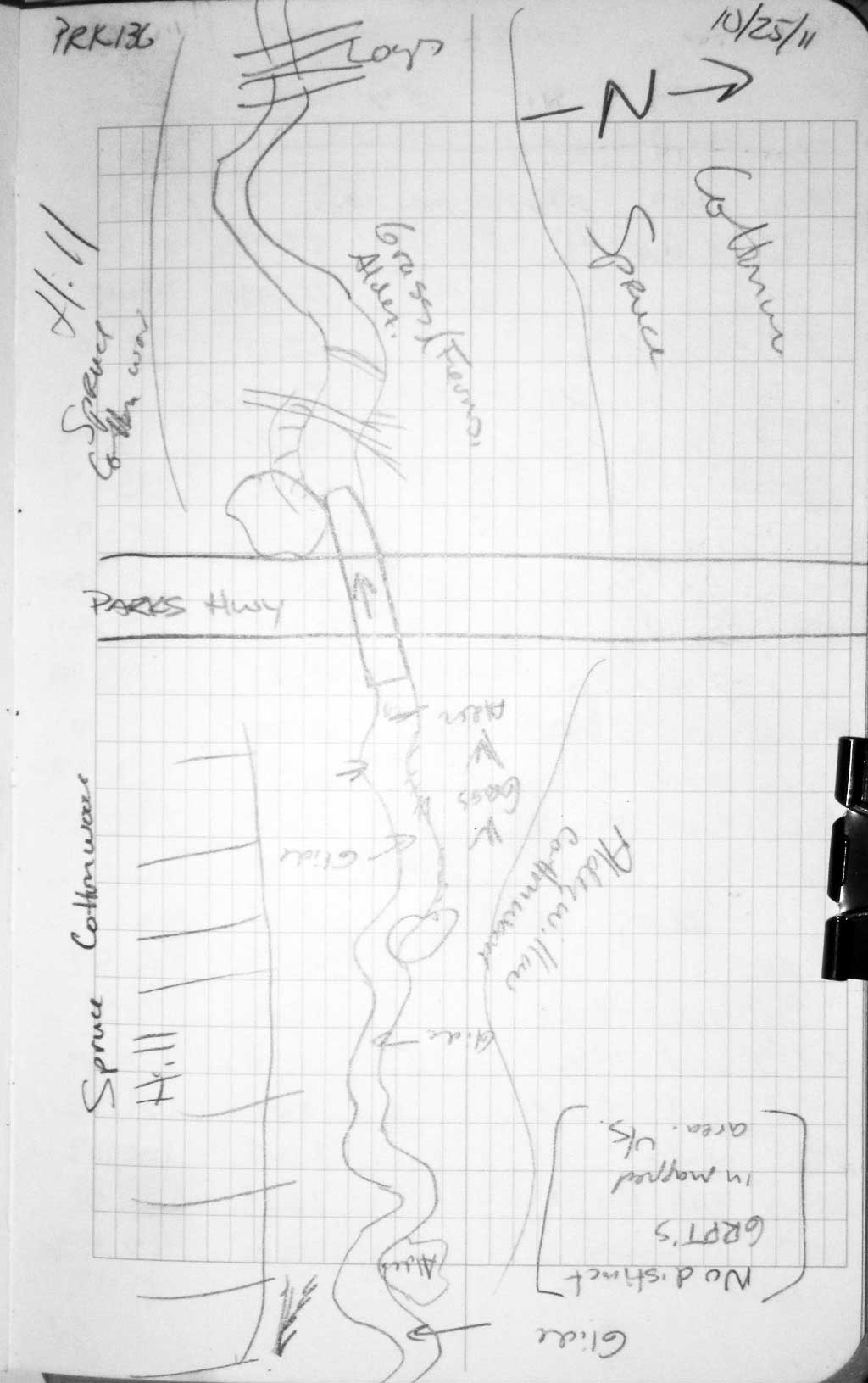
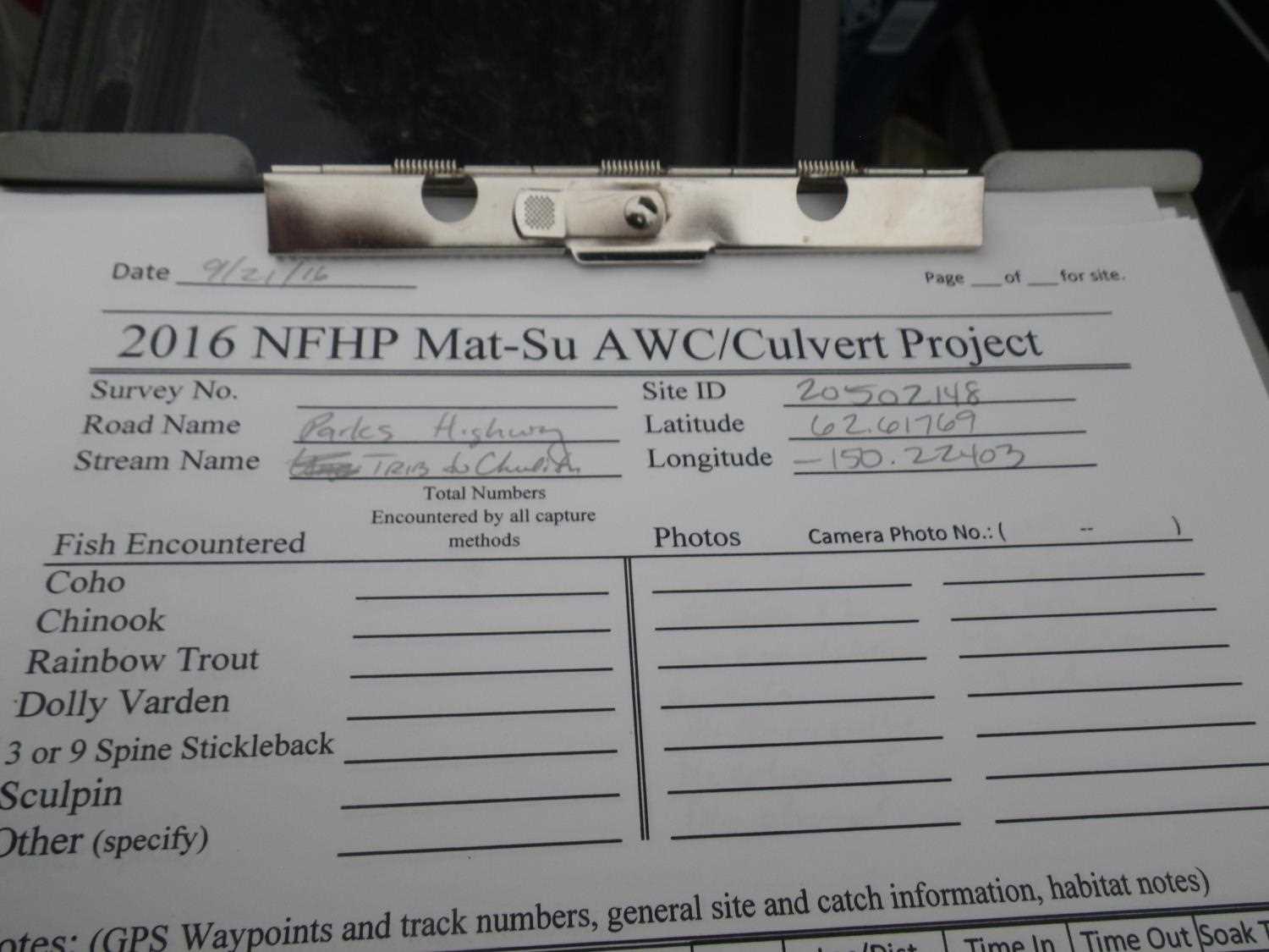
Fish Passage Site 20502148
Coordinates (dec. deg.): 62.61786°, -150.22438°
Legal Description: S029N005W09
Region: South Central
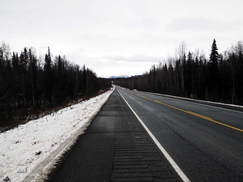
Road Name: Parks Highway
Datum: NAD83
Quad Name / ITM: Talkeetna C-1
AWC Stream #:
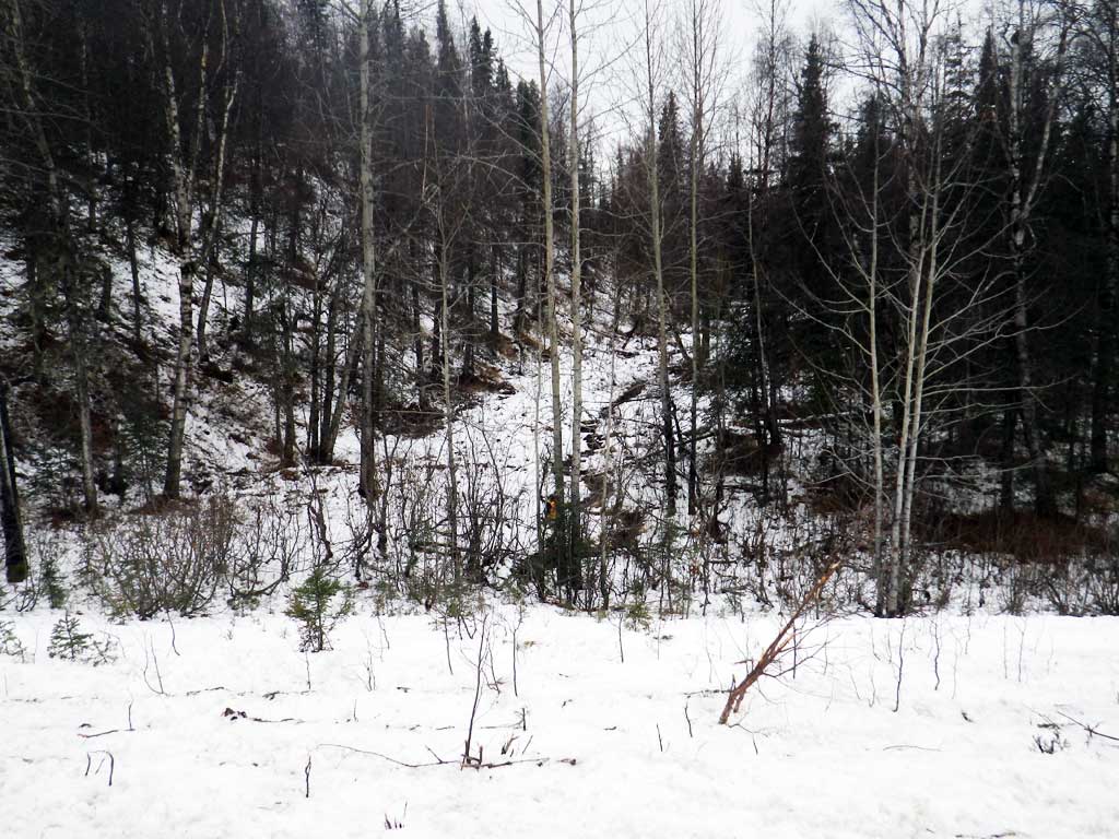
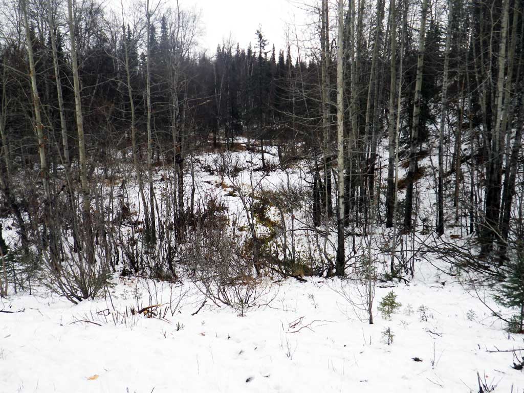
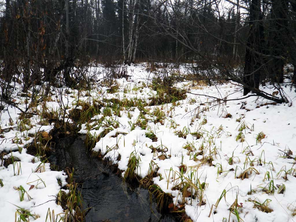
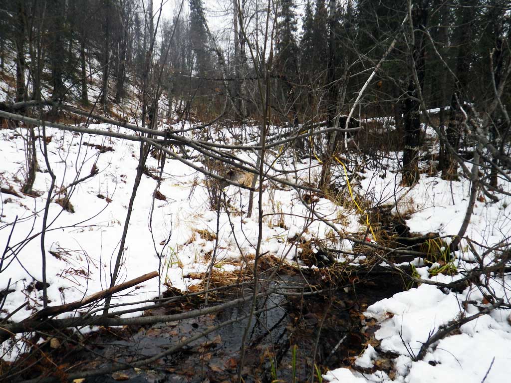
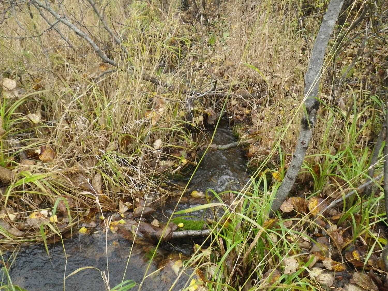
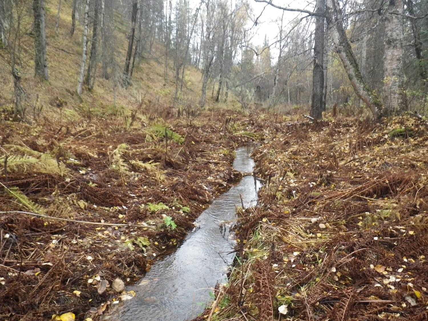
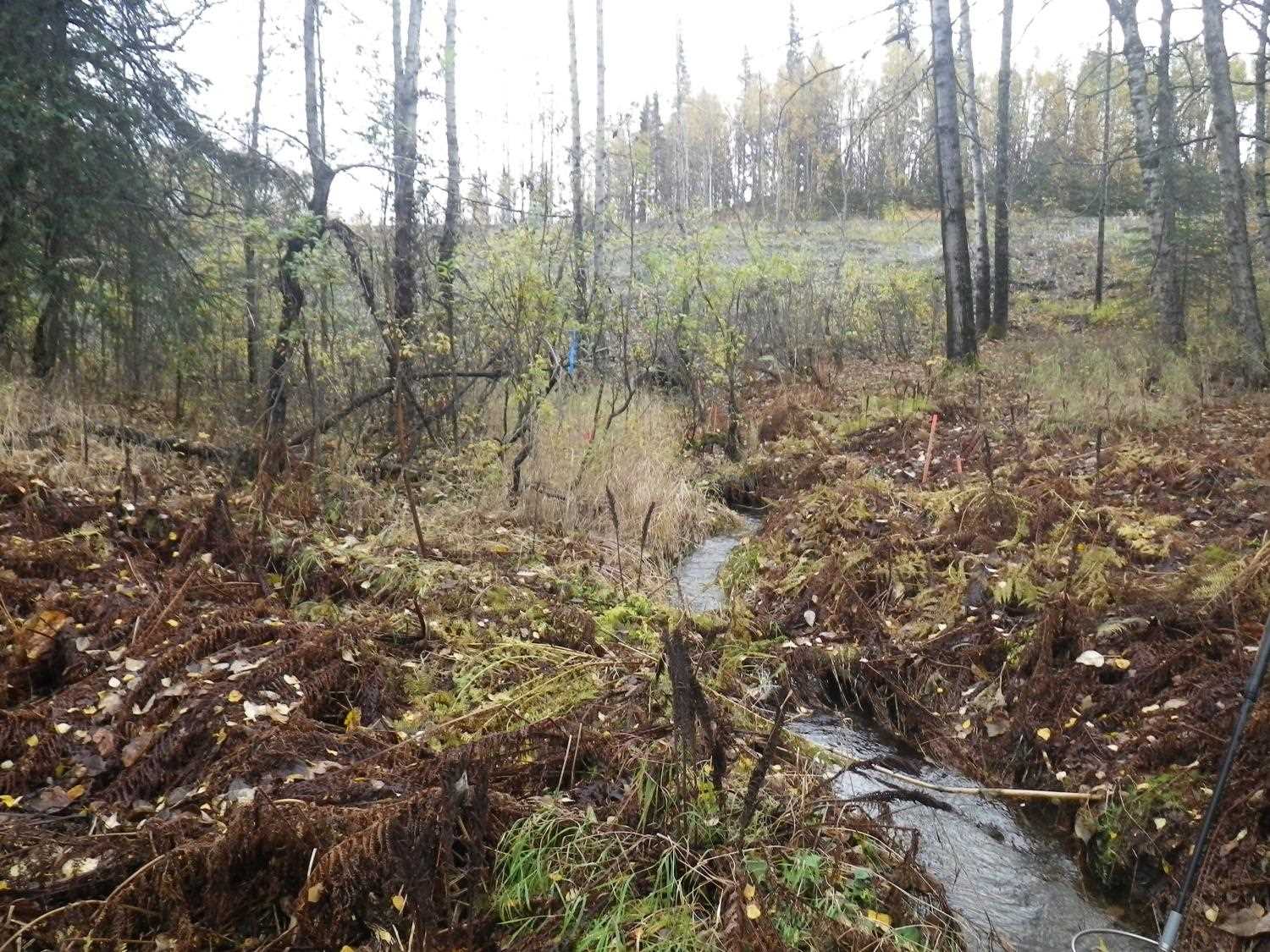
Stream Name: Chulitna River tributary
Elevation:
Site Comments: Site is at approx. MP 136.5.
Survey MSB11-PRK136
Project Supervisor: Gillian O'Doherty, Alaska Department of Fish and Game
— Anchorage, AK
Observers: Mark Eisenman, Gillian O'Doherty
Overall Fish Passage Rating:
Tidal: No
Backwatered: No
Step Pools: No
Construction Year:
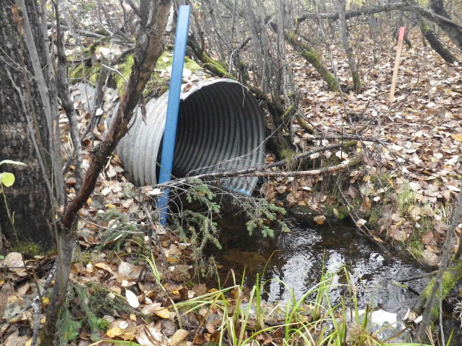
Site Observations:
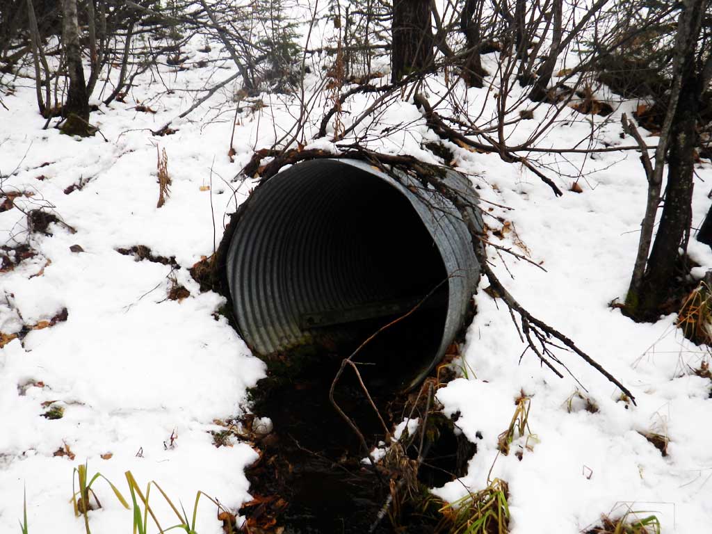
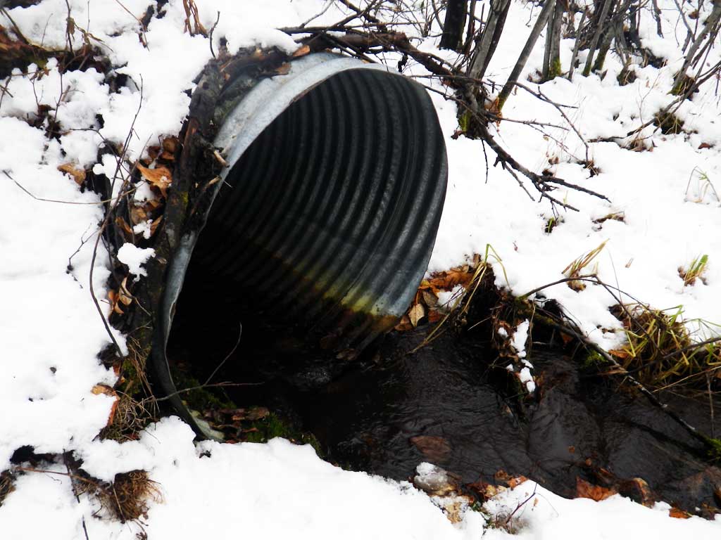
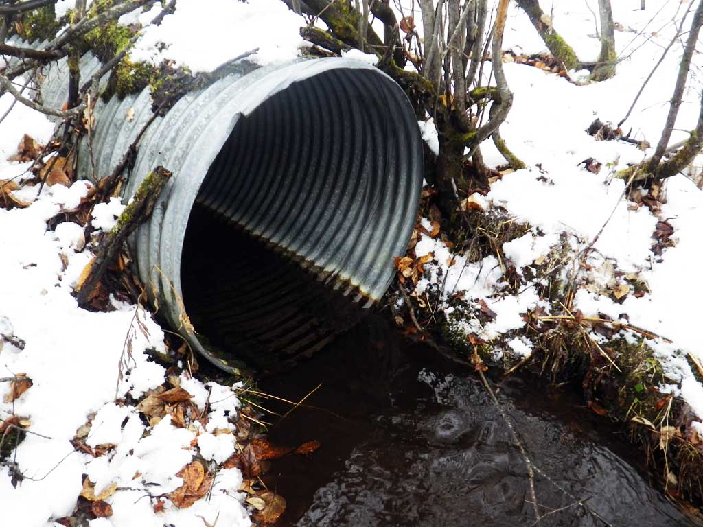
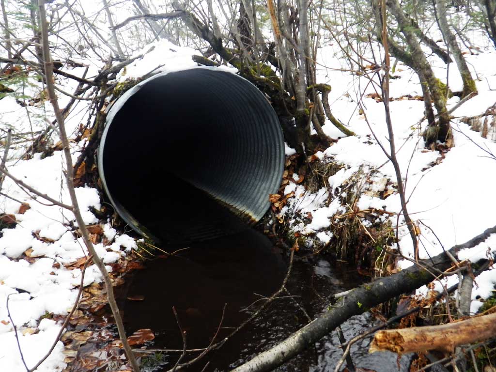
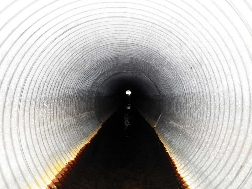
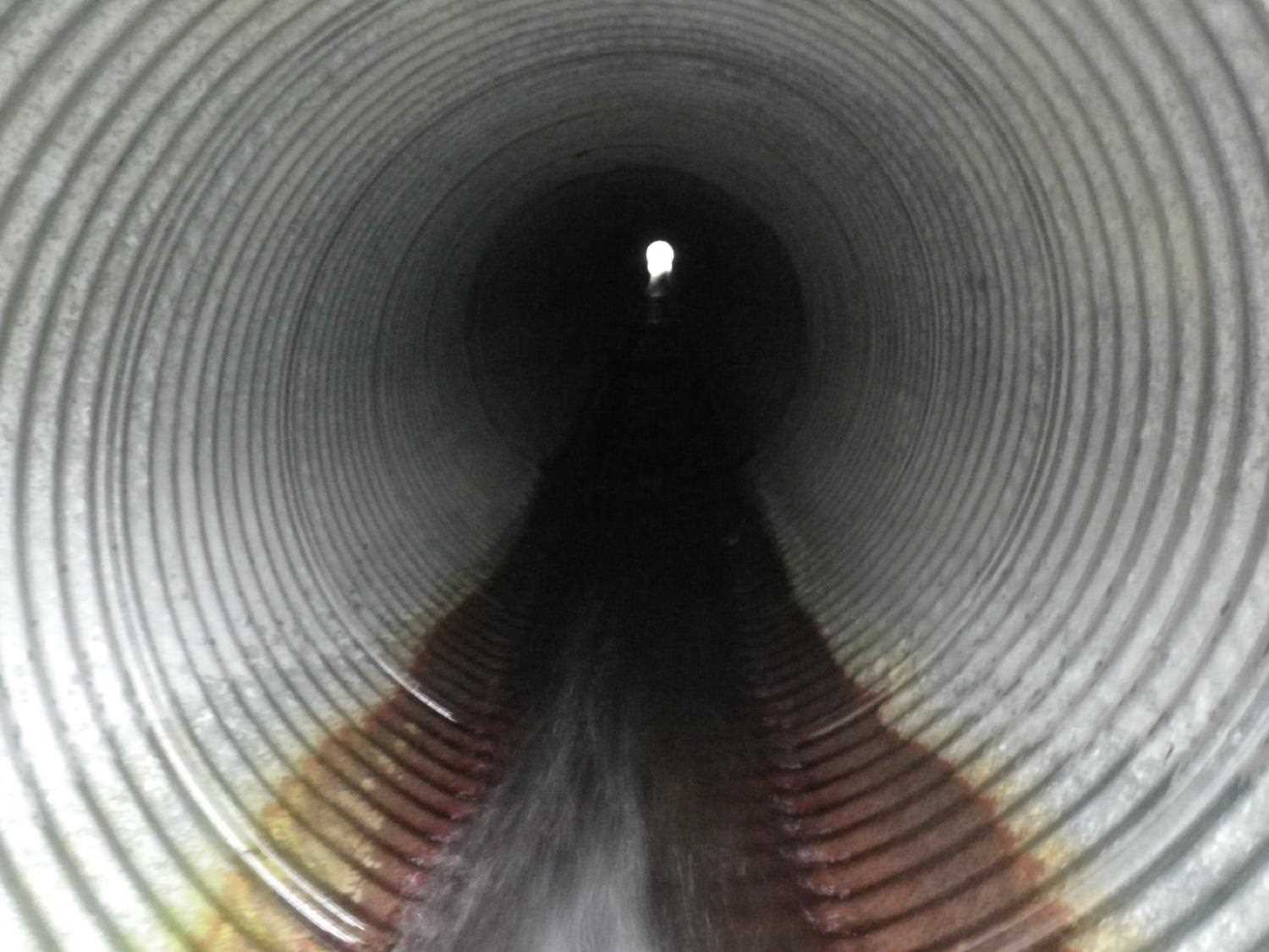
- Culvert gradient red
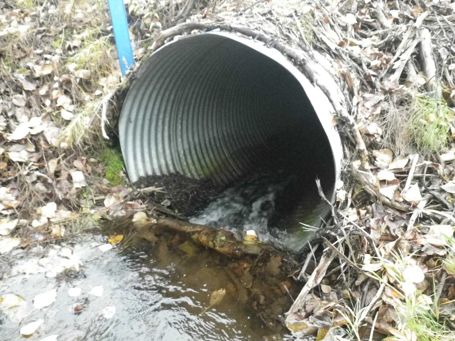
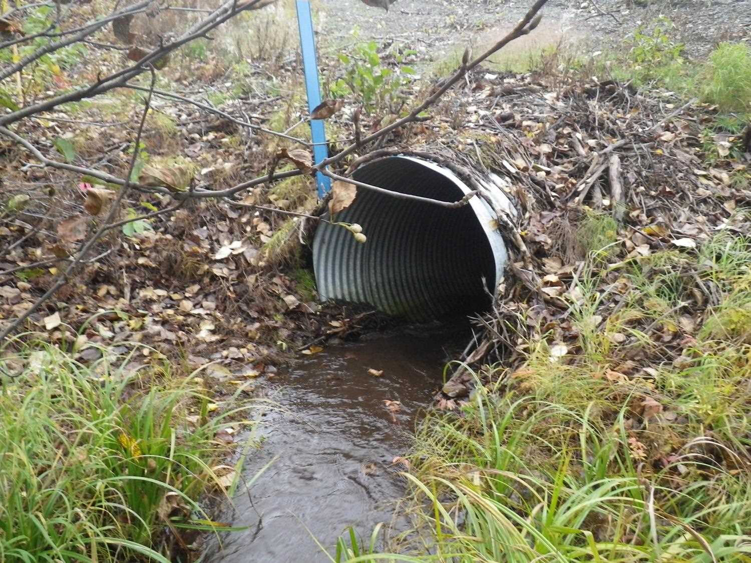
- Inlet perch
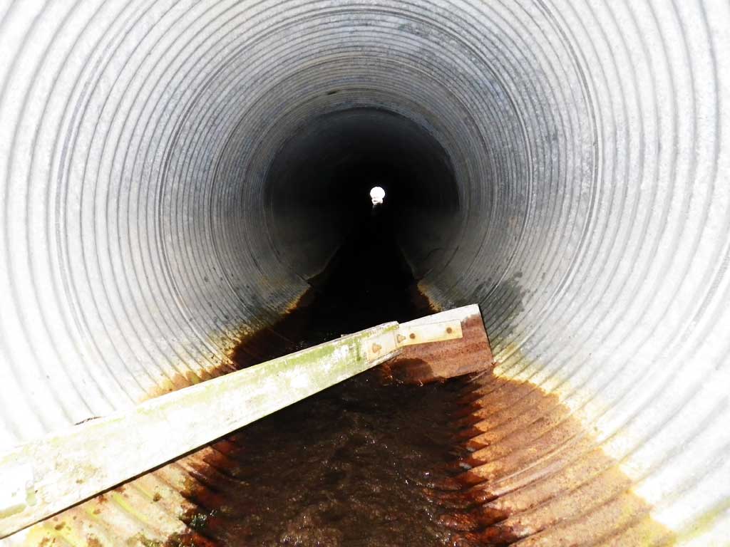
- Compound gradient in pipe
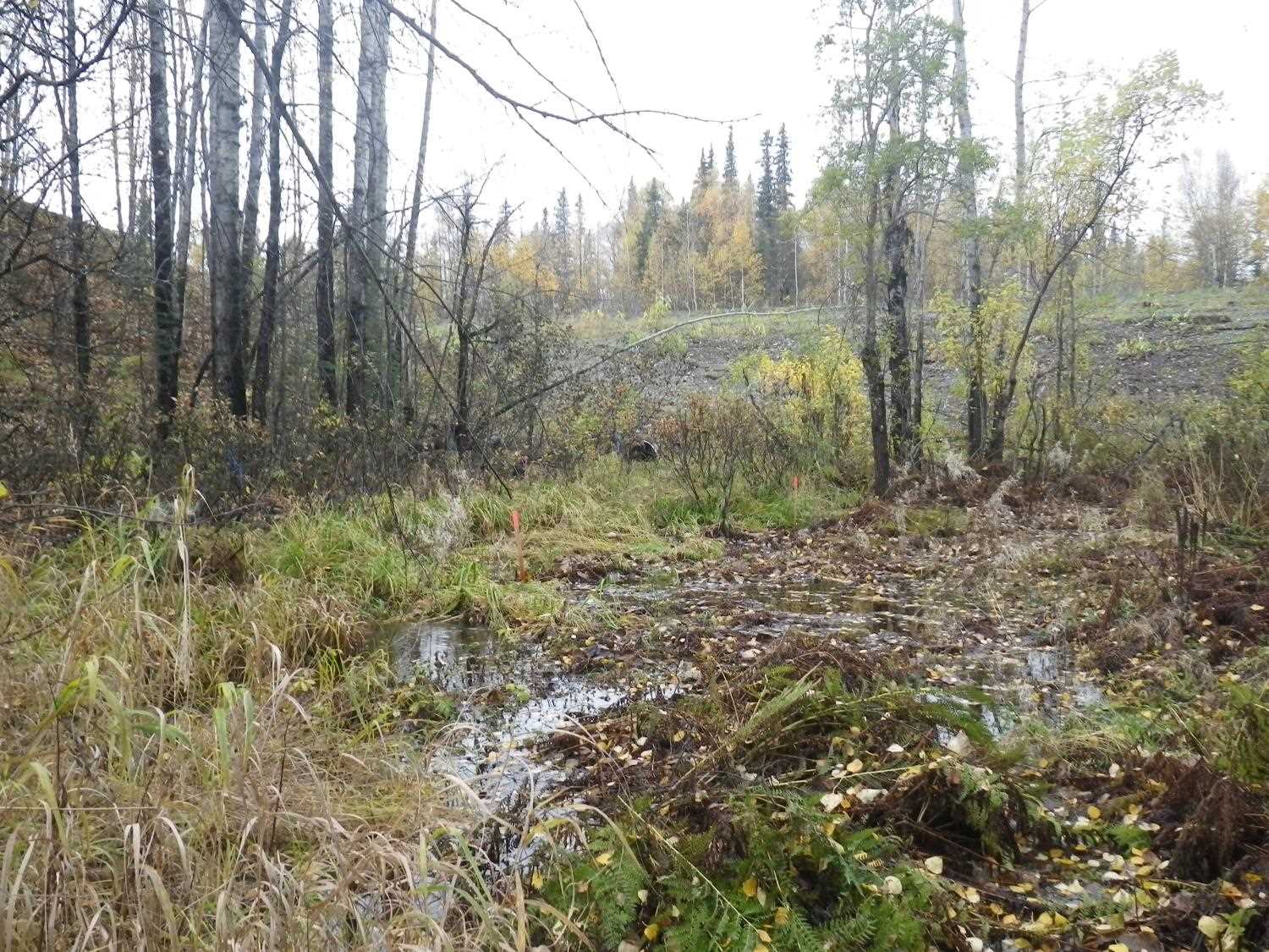
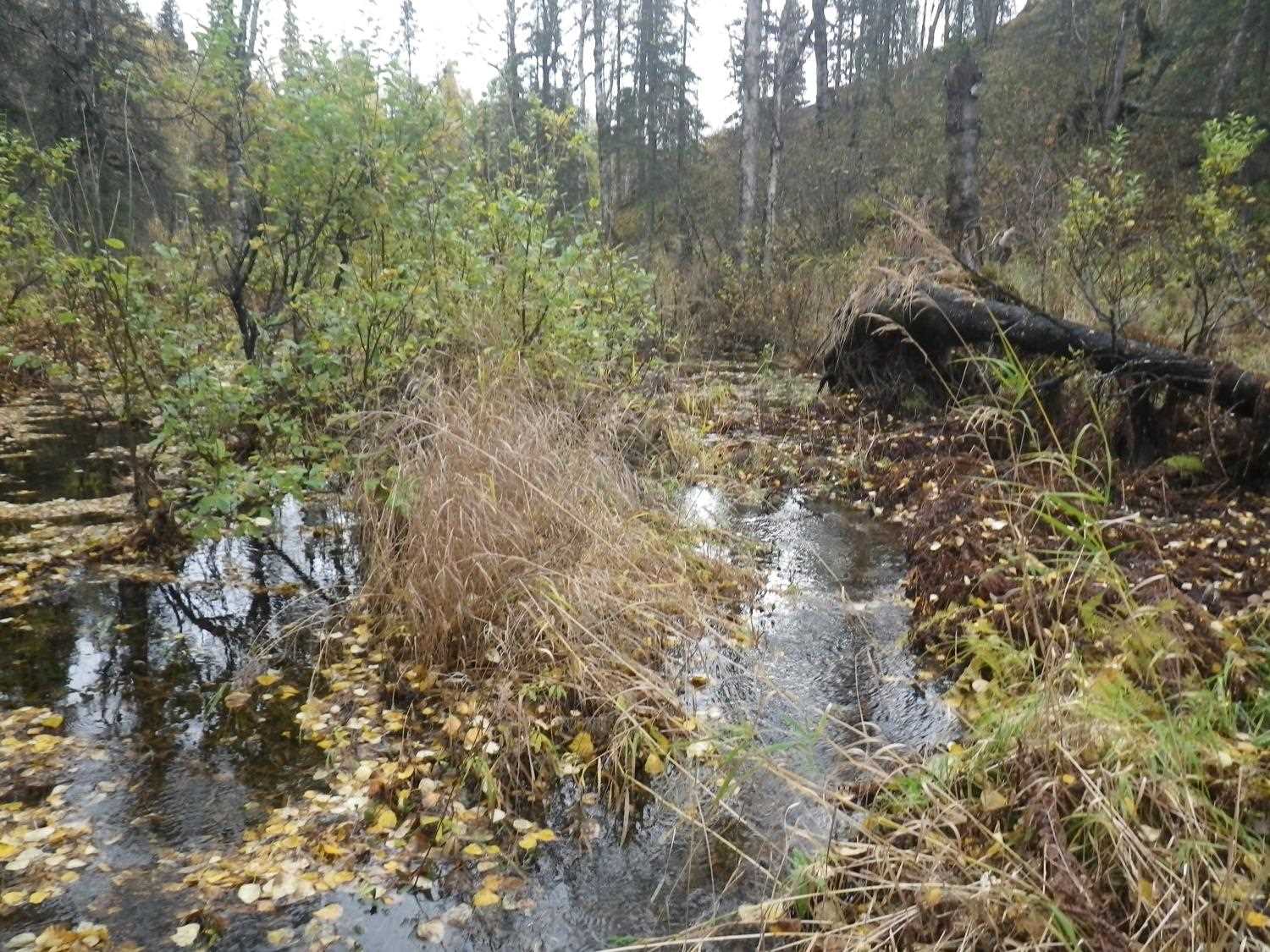
Comments: **Updated site photos added from 9/22/16 site visit from Sampling Unmapped Streams in the MSB project. Fish samping informaiton entered in AFFI** No fish trapping due to weather and time of year. No fish observered. Small amount of sediment at inlet with small inlet perch. Wetlands upstream from culvert.
Culvert Measurements
| ID: 1 | Structure Type: Circular pipe (Corrugated steel) | Fish Passage Rating: | |||||||||||||||||||||||||||||||||||||||||
|
|
|
|||||||||||||||||||||||||||||||||||||||||
Culvert Observations:
|
|||||||||||||||||||||||||||||||||||||||||||
Stream Measurements
|
|
| Stream Width Type | Distance From Crossing (ft) |
Stream Width (ft) |
|---|---|---|
| Downstream ordinary high water | 50.0 | 2.50 |
| Downstream ordinary high water | 110.0 | 2.80 |
| Downstream ordinary high water | 160.0 | 3.20 |
Elevations
| Locator ID | Culvert Number |
River Distance (ft)1 |
Distance From Crossing (ft)2 |
Relative Elevation (ft) |
|---|---|---|---|---|
| Road Elev | 120.57 | |||
| D/S Thalweg (Downstream profile point) | 0.00 | 94.35 | ||
| D/S Water Surface Elev (Used for Stream Gradient) | 0.00 | 95.00 | ||
| D/S Thalweg (Downstream profile point) | 47.00 | 94.88 | ||
| D/S Water Surface Elev | 47.00 | 95.29 | ||
| D/S Water Surface Elev (Used for Stream gradient) | 75.00 | 95.69 | ||
| D/S Thalweg (Downstream profile point) | 75.00 | 95.18 | ||
| D/S Tailcrest or 1st Thalweg | 100.00 | 95.93 | ||
| D/S Water Surface Elev | 100.00 | 96.23 | ||
| Outlet Pool Water Elev | 115.00 | 96.28 | ||
| Max Pool Depth | 115.00 | 95.64 | ||
| Outlet Invert (Bottom of pipe) | 118.00 | 96.01 | ||
| D/S Water Surface Elev | 118.00 | 96.32 | ||
| Outlet Culvert Top | 118.00 | 100.02 | ||
| U/S Water Surface Elev | 193.30 | 100.24 | ||
| Inlet Culvert Invert (Bottom of pipe) | 193.30 | 99.98 | ||
| Inlet Culvert Top (Top of pipe) | 193.30 | 104.03 | ||
| U/S Headwater | 193.80 | 100.39 | ||
| U/S Water Surface Elev | 203.30 | 100.44 | ||
| U/S Thalweg (Upstream profile point) | 203.30 | 99.80 |
Notes:
- River distance is measured continuously throughout the survey reach along the thalweg of the stream.
- Measured from each end of the crossing along the thalweg of the stream.
Fish Sampling Efforts
No fish sampling occurred during this survey.
Fish Observations
No fish observations occurred during this survey.
Photos
Questions or comments about this report can be directed to dfg.dsf.webmaster@alaska.gov