Fish Passage Site 20502141
Coordinates (dec. deg.): 62.53811°, -150.09509°
Legal Description: S028N004W07
Region: South Central
Road Name: Alaska Railroad
Datum: NAD83
Quad Name / ITM: Talkeetna C-1
AWC Stream #:
Stream Name: Susitna River tributary
Elevation:
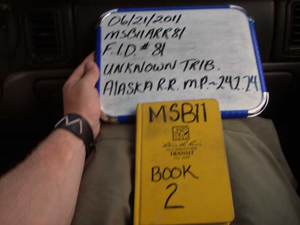
Site Comments: RR MP 242.24
Survey MSB11-ARR81
Project Supervisor: Gillian O'Doherty, Alaska Department of Fish and Game
— Anchorage, AK
Observers: John Greuey, Abraham Gioffre
Overall Fish Passage Rating:
Tidal: No
Backwatered: No
Step Pools: No
Construction Year:
Site Observations:
- Culvert gradient red
- Mechanical damage or joints parting
- Culvert sagging in middle
- Structural Problem
- Constriction ratio red
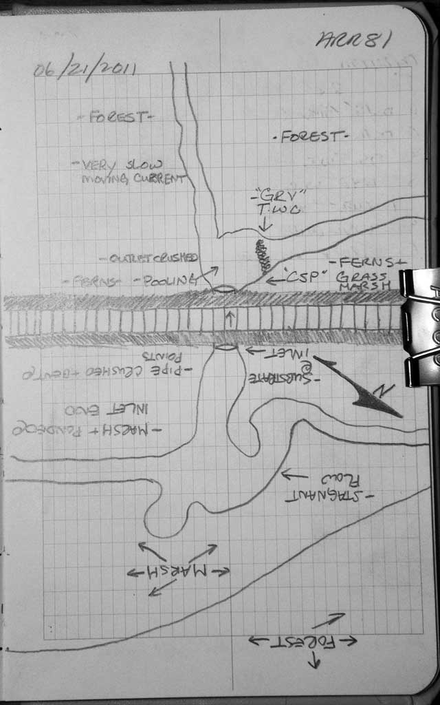
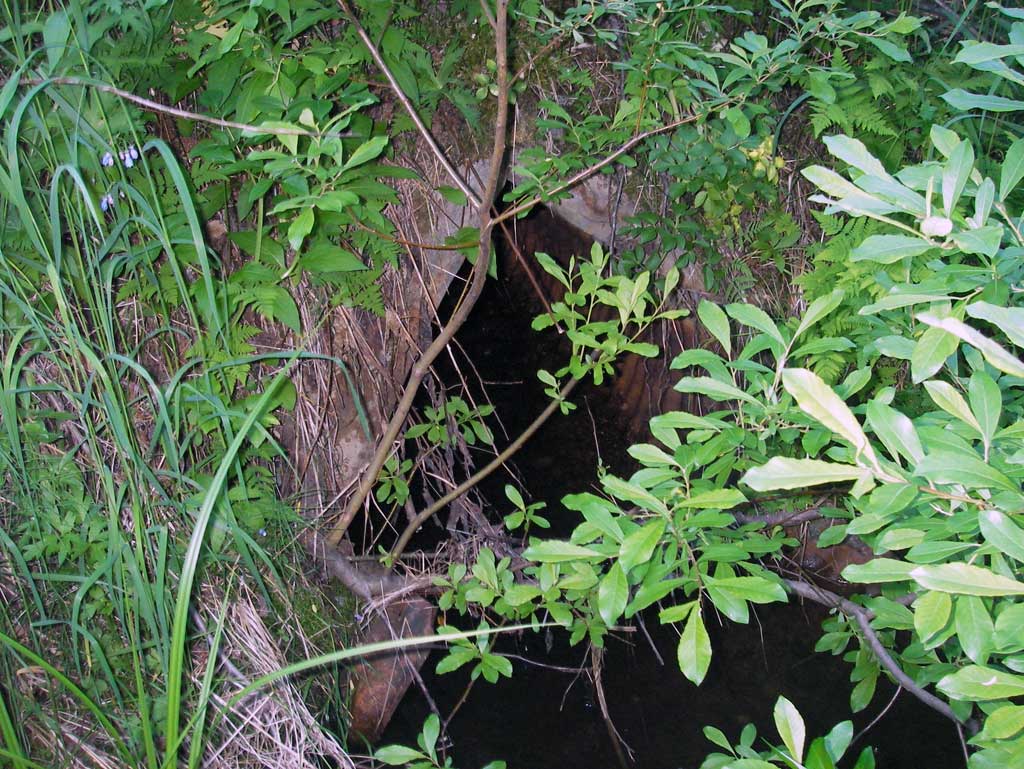
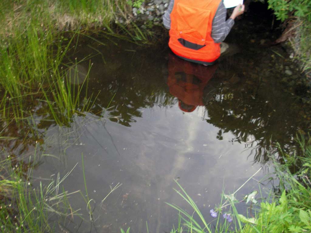
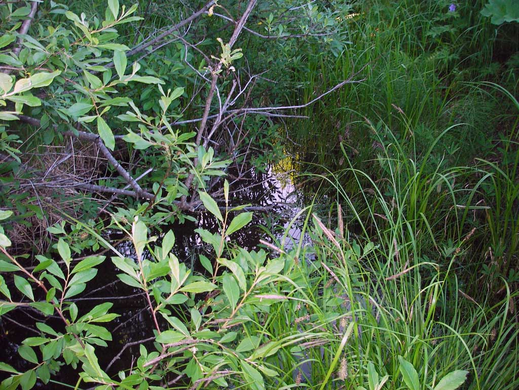
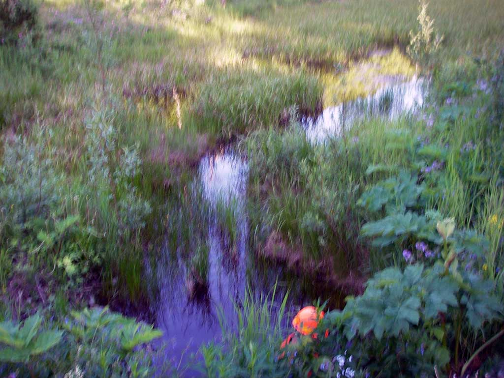
Comments: Alaska Railroad site with GIS FID # 81 at MP 242.24. Inlet section of culvert is torn off and several areas of pipe are caved in. Outlet is smashed and CSP is actual two sections joined together with a metal ring.
Culvert Measurements
| ID: 1 | Structure Type: Circular pipe (Corrugated steel) | Fish Passage Rating: | ||||||||||||||||||||||||||||||||||||||||||
|
|
|
||||||||||||||||||||||||||||||||||||||||||
Culvert Observations:
|
||||||||||||||||||||||||||||||||||||||||||||
Stream Measurements
|
|
| Stream Width Type | Distance From Crossing (ft) |
Stream Width (ft) |
|---|---|---|
| Downstream ordinary high water | 19.0 | 22.80 |
| Downstream ordinary high water | 27.0 | 22.00 |
| Downstream ordinary high water | 38.0 | 21.50 |
Elevations
| Locator ID | Culvert Number |
River Distance (ft)1 |
Distance From Crossing (ft)2 |
Relative Elevation (ft) |
|---|---|---|---|---|
| D/S Thalweg (thalweg in wetland pool) | 0.00 | 92.82 | ||
| D/S Water Surface Elev | 0.00 | 93.16 | ||
| D/S Water Surface Elev (Tail water surface) | 35.00 | 93.17 | ||
| D/S Tailcrest or 1st Thalweg (Tail water control) | 35.00 | 93.10 | ||
| Outlet Invert (On pipe) | 44.00 | 92.35 | ||
| D/S Water Surface Elev (Water surface at outlet) | 44.00 | 93.17 | ||
| Road Elev (Middle of railroad tracks) | 59.00 | 99.41 | ||
| Inlet Culvert Invert (This inlet invert shot is on substrate) | 73.90 | 93.33 | ||
| U/S Water Surface Elev (Water surface at inlet) | 73.90 | 93.57 | ||
| Inlet Culvert Invert (This inlet invert shot is on pipe. Was able to sink rod through substrate to pipe.) | 73.90 | 92.84 |
Notes:
- River distance is measured continuously throughout the survey reach along the thalweg of the stream.
- Measured from each end of the crossing along the thalweg of the stream.
Fish Sampling Efforts
No fish sampling occurred during this survey.
Fish Observations
No fish observations occurred during this survey.
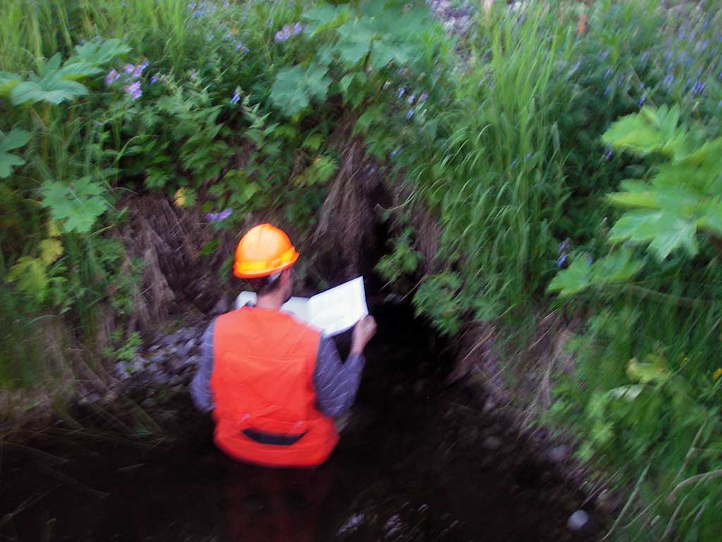
Photos
Questions or comments about this report can be directed to dfg.dsf.webmaster@alaska.gov