Fish Passage Site 20502135
Coordinates (dec. deg.): 61.77043°, -150.06857°
Legal Description: S019N004W06
Region: South Central
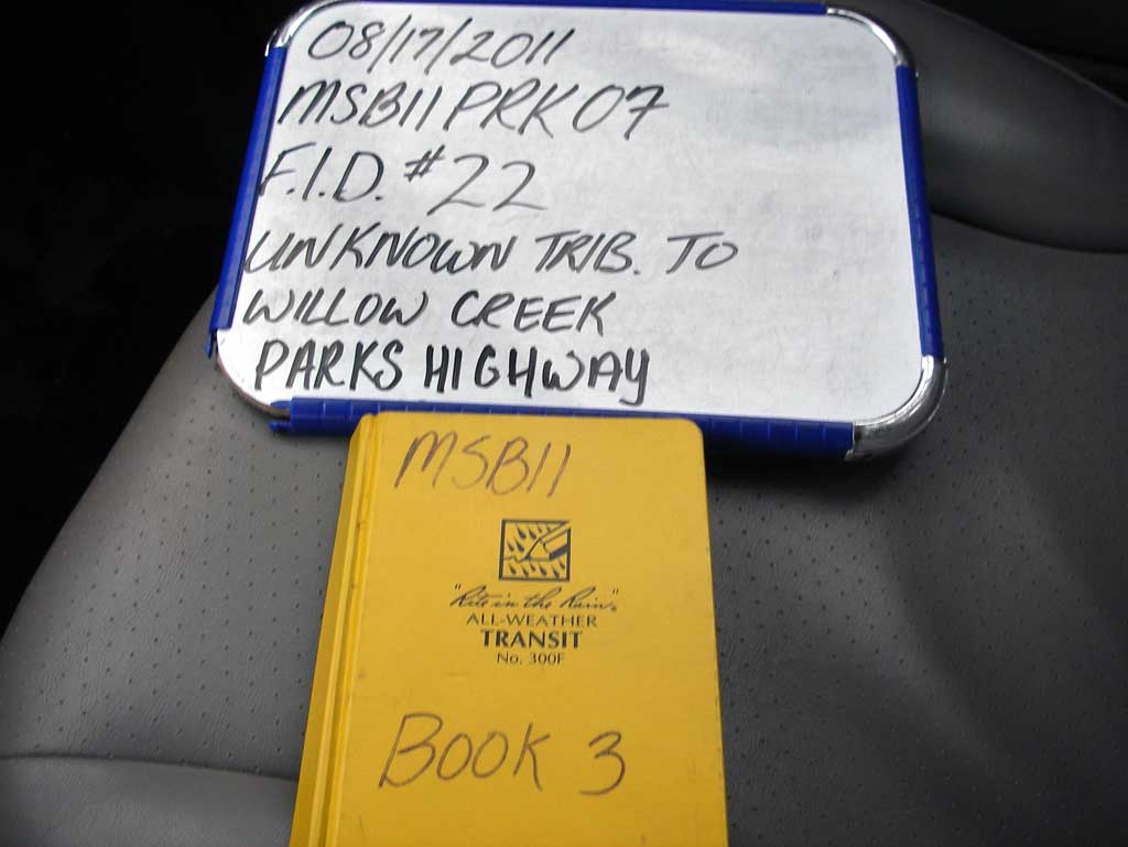
Road Name: Parks Highway
Datum: NAD83
Quad Name / ITM: Tyonek D-1
AWC Stream #:
Stream Name: Willow Creek tributary
Elevation:
Site Comments: None
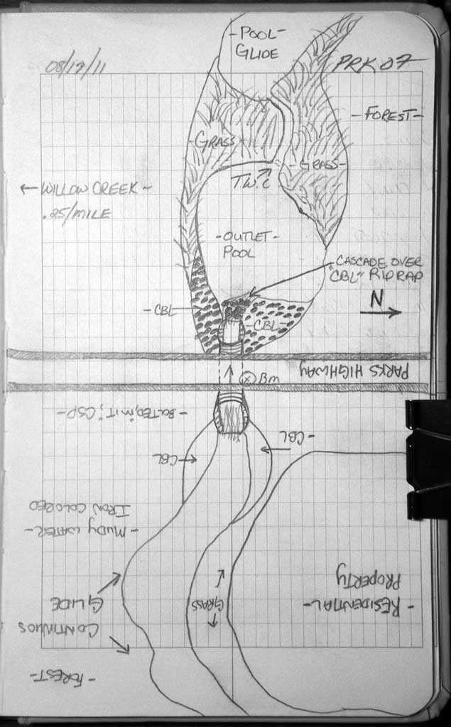
Survey MSB11-PRK07
Project Supervisor: Gillian O'Doherty, Alaska Department of Fish and Game
— Anchorage, AK
Observers: John Greuey, Abraham Gioffre
Overall Fish Passage Rating:
Tidal: No
Backwatered: No
Step Pools: No
Construction Year:
Site Observations:
- Constriction ratio red
- Outfall height red
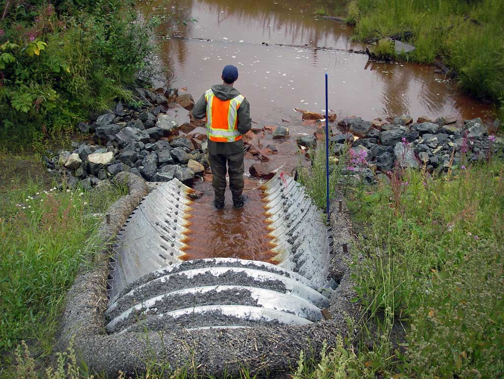
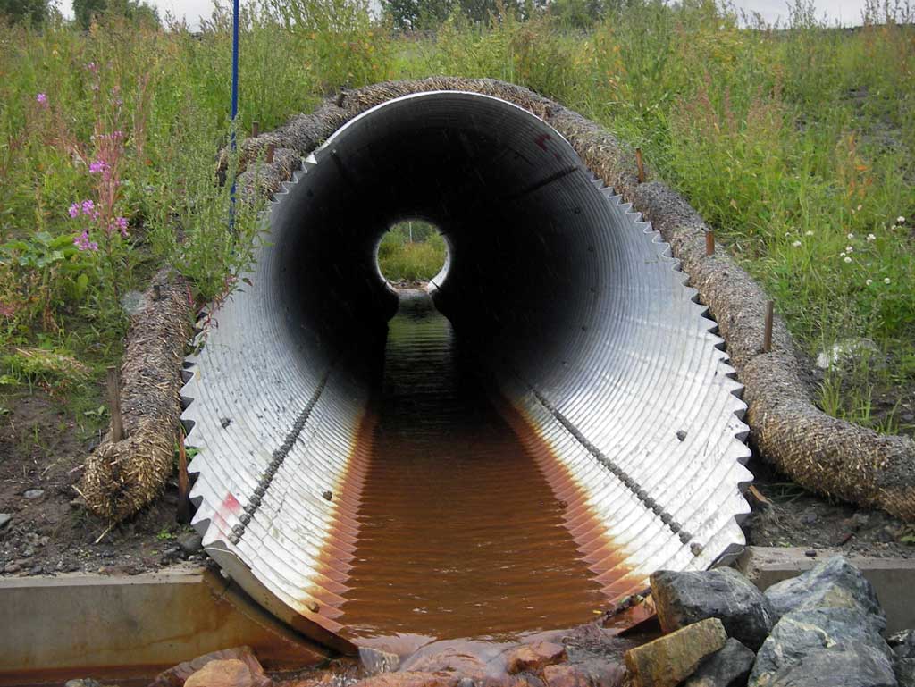
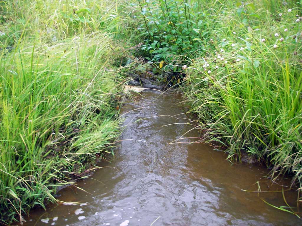
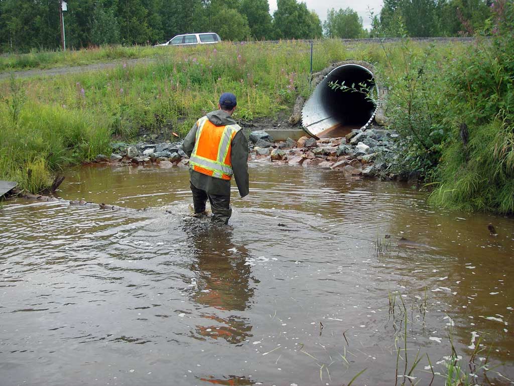
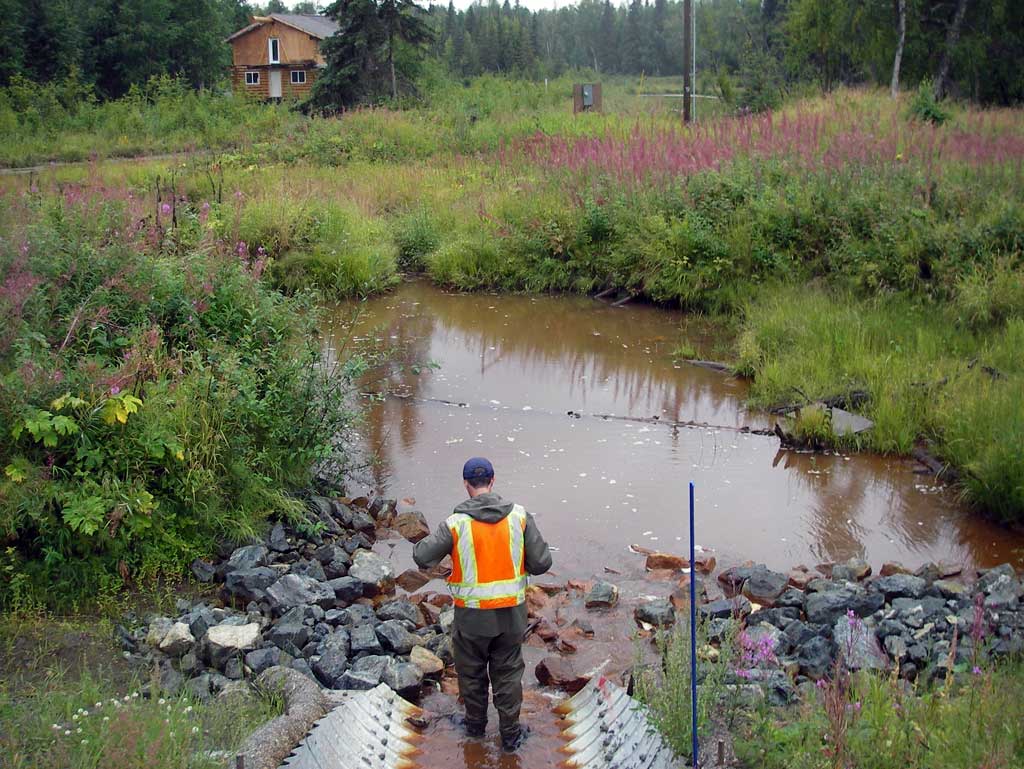
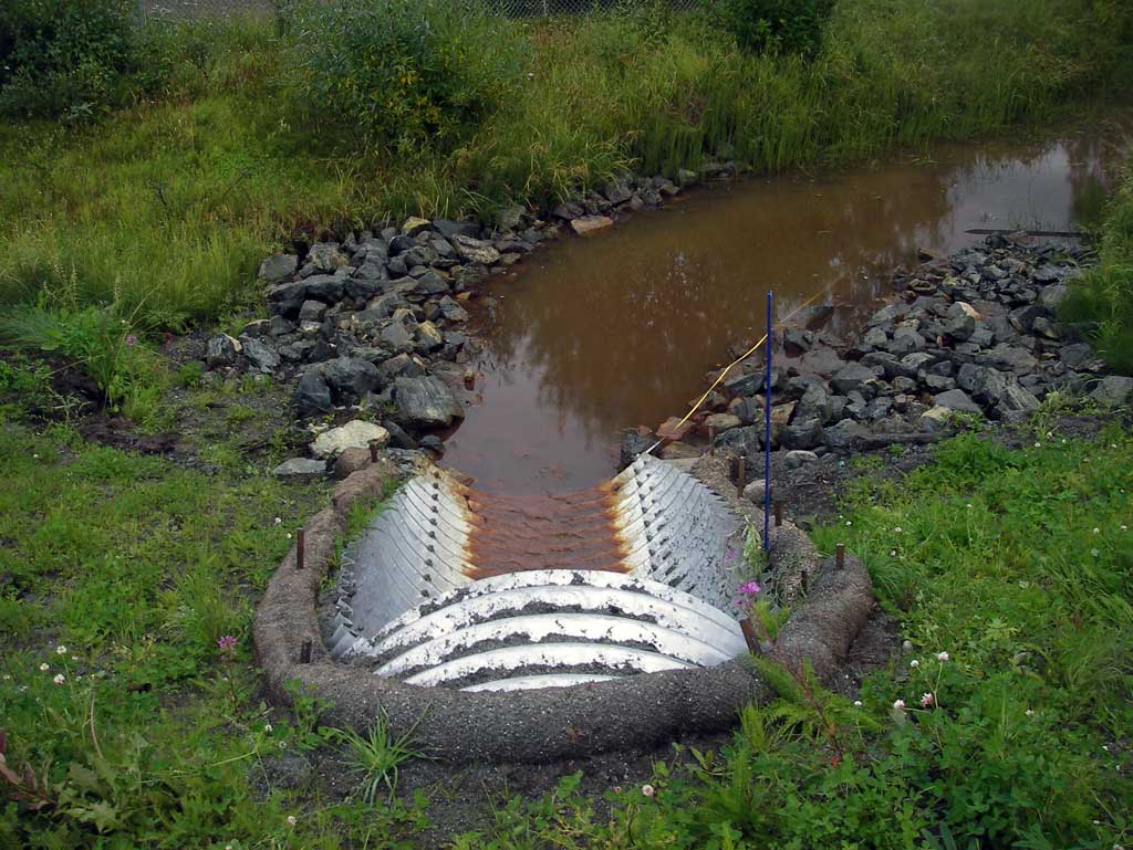
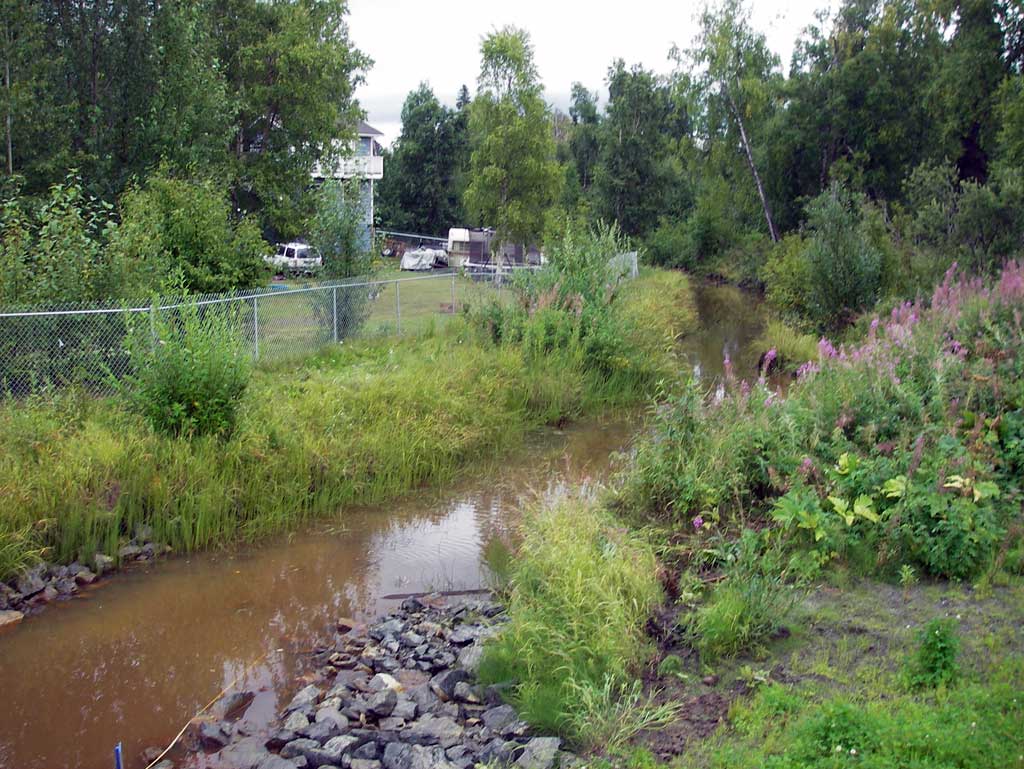
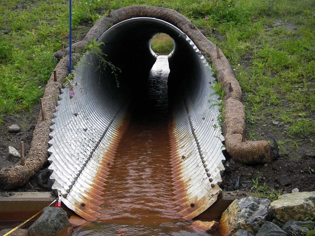
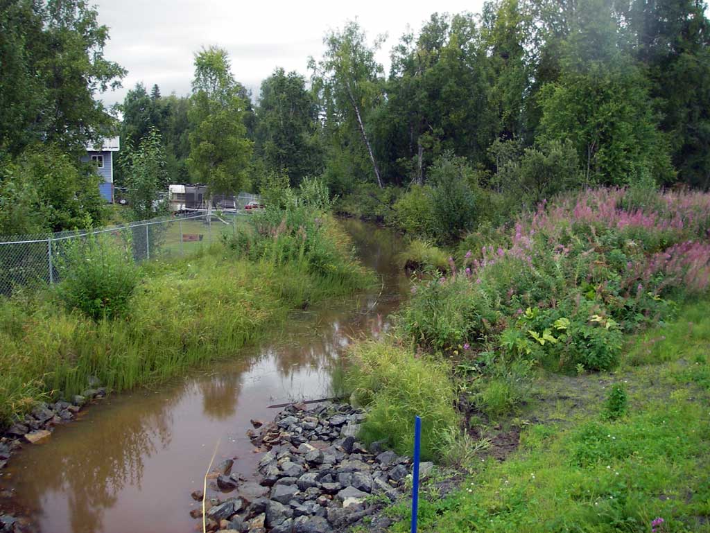
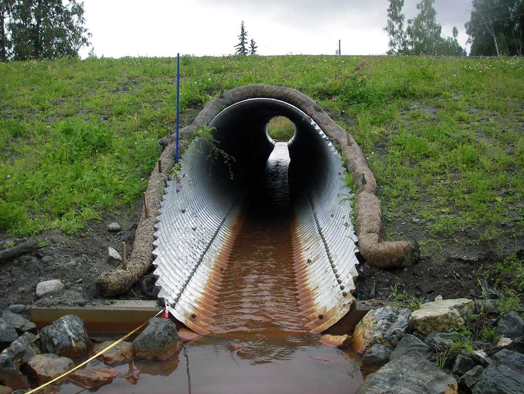
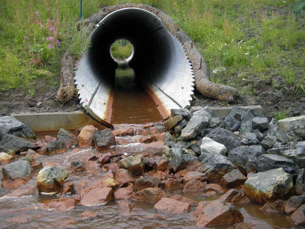
Comments: Upst area is a shallow muddy slough and dwst area consists of a wide outlet pool which then has a narrow outlet channel to a wide flat muddy slough.
Culvert Measurements
| ID: 1 | Structure Type: Circular pipe (Structural steel plate) | Fish Passage Rating: | |||||||||||||||||||||||||||||||||||||||||
|
|
|
|||||||||||||||||||||||||||||||||||||||||
Culvert Observations:
|
|||||||||||||||||||||||||||||||||||||||||||
Stream Measurements
|
|
| Stream Width Type | Distance From Crossing (ft) |
Stream Width (ft) |
|---|---|---|
| Downstream ordinary high water | 105.0 | 21.00 |
| Upstream ordinary high water | 54.0 | 20.00 |
| Upstream ordinary high water | 160.0 | 24.00 |
Elevations
| Locator ID | Culvert Number |
River Distance (ft)1 |
Distance From Crossing (ft)2 |
Relative Elevation (ft) |
|---|---|---|---|---|
| D/S Tailcrest or 1st Thalweg (Tail water control) | 0.00 | 87.53 | ||
| D/S Water Surface Elev (Tail water surface) | 0.00 | 88.05 | ||
| Max Pool Depth | 16.00 | 86.11 | ||
| Outlet Invert (On pipe at end of miter) | 54.00 | 88.82 | ||
| D/S Water Surface Elev (Water surface at outlet) | 54.00 | 89.08 | ||
| Outlet Culvert Top (Mitered pipe has a 12.4 foot Apron) | 66.40 | 95.04 | ||
| Road Elev | 115.00 | 100.00 | ||
| Inlet Culvert Top (Mitered pipe has a 12.4 foot Apron) | 164.00 | 95.44 | ||
| Inlet Culvert Invert (On pipe) | 176.40 | 89.37 | ||
| U/S Water Surface Elev (Water surface at inlet) | 176.40 | 89.59 | ||
| U/S Water Surface Elev | 198.40 | 89.62 | ||
| U/S Thalweg (Profile point in continuous pool glide) | 198.40 | 88.63 | ||
| U/S Water Surface Elev (Used for stream gradient. Continuous glide, no steam features.) | 226.40 | 89.62 | ||
| U/S Water Surface Elev (Used for stream gradient. Continuous glide, no stream features.) | 326.40 | 89.62 |
Notes:
- River distance is measured continuously throughout the survey reach along the thalweg of the stream.
- Measured from each end of the crossing along the thalweg of the stream.
Fish Sampling Efforts
No fish sampling occurred during this survey.
Fish Observations
No fish observations occurred during this survey.
Photos
Questions or comments about this report can be directed to dfg.dsf.webmaster@alaska.gov