Fish Passage Site 20502133
Coordinates (dec. deg.): 61.76110°, -150.04930°
Legal Description: S019N004W05
Region: South Central
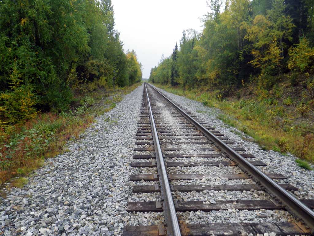
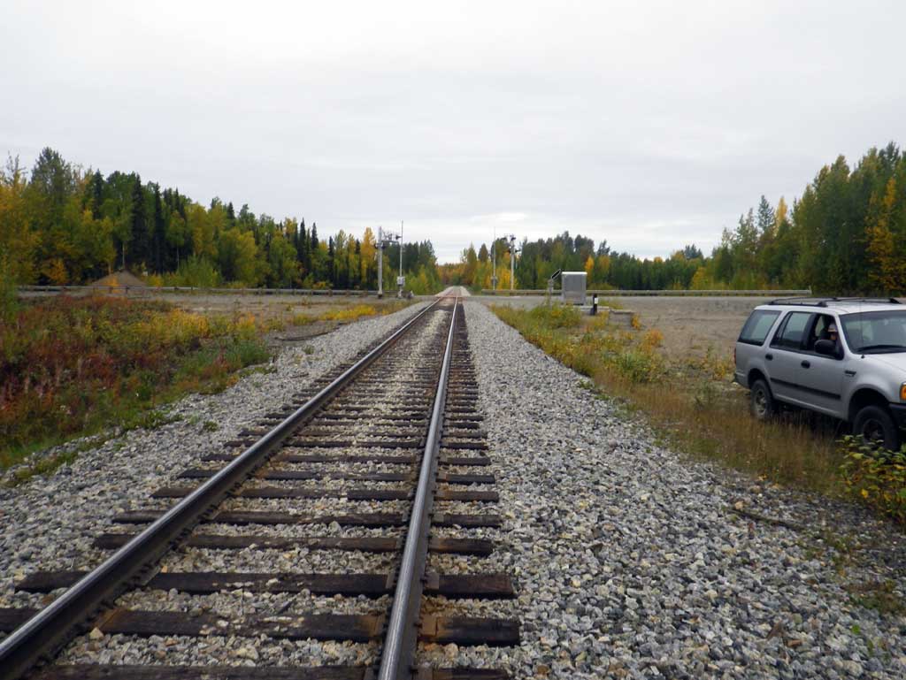
Road Name: Alaska Railroad
Datum: NAD83
Quad Name / ITM: Tyonek D-1
AWC Stream #: 247-41-10200-2120-3018
Stream Name: Gene Creek
Elevation:
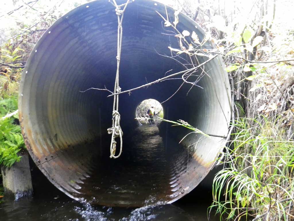
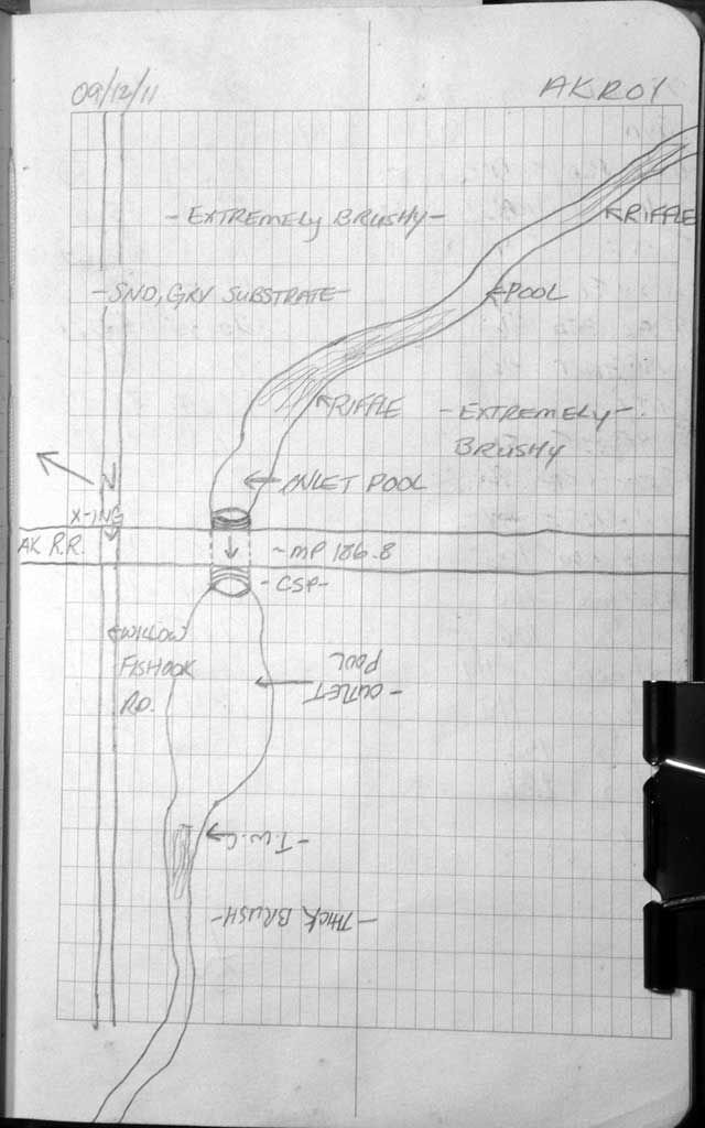
Site Comments: Alaska RR at MP 186.7. Site on the railroad near Willow-Fishhook road.
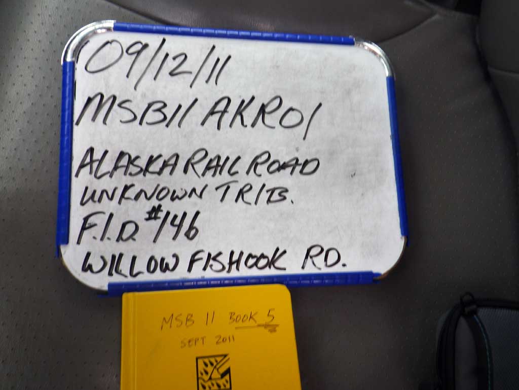
Survey MSB11-AKR01
Project Supervisor: Gillian O'Doherty, Alaska Department of Fish and Game
— Anchorage, AK
Observers: Abraham Gioffre, Jim Latham
Overall Fish Passage Rating:
Tidal: No
Backwatered: No
Step Pools: No
Construction Year:
Site Observations:
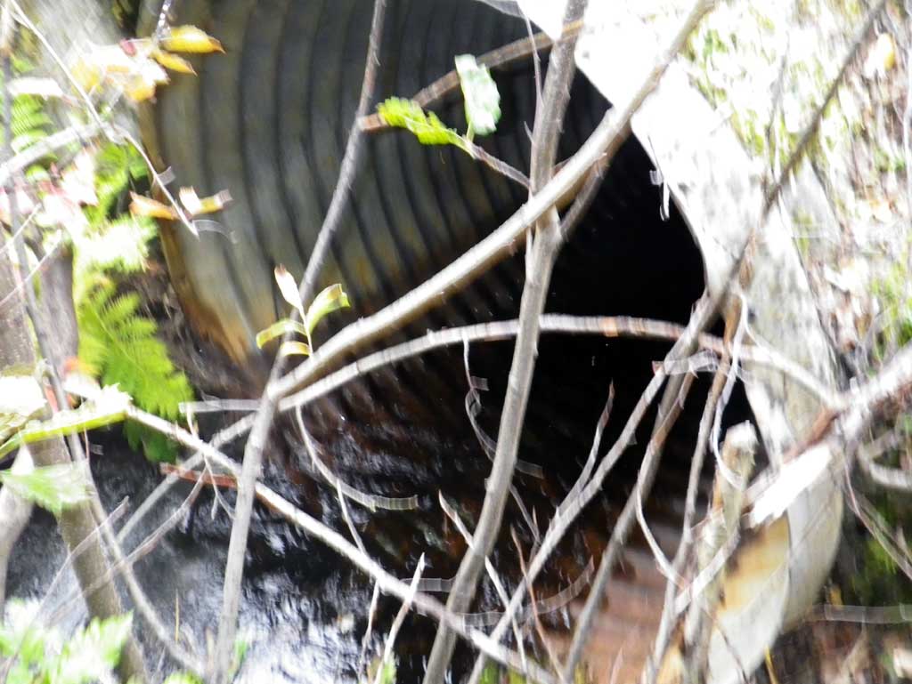
- Culvert gradient gray
- Mechanical damage or joints parting
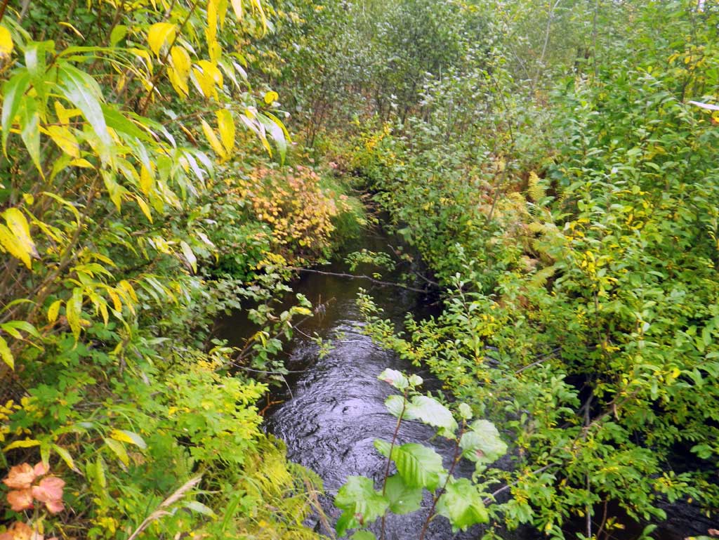
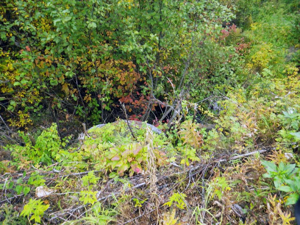
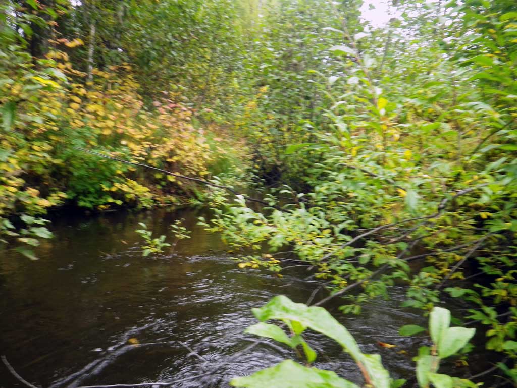
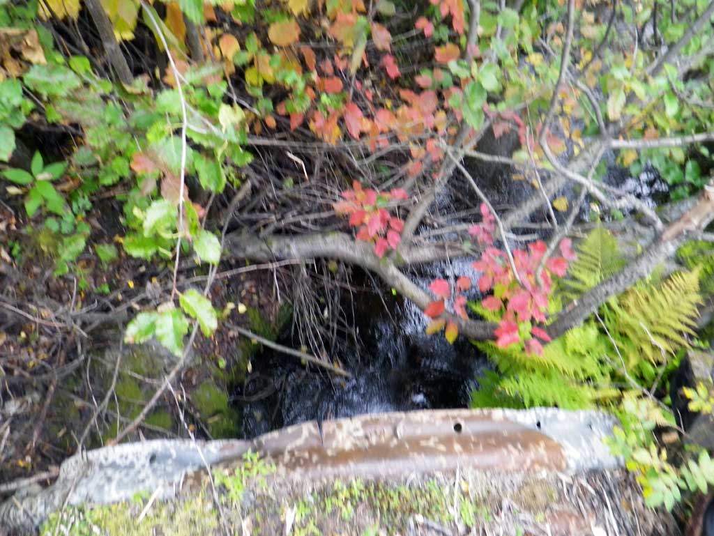
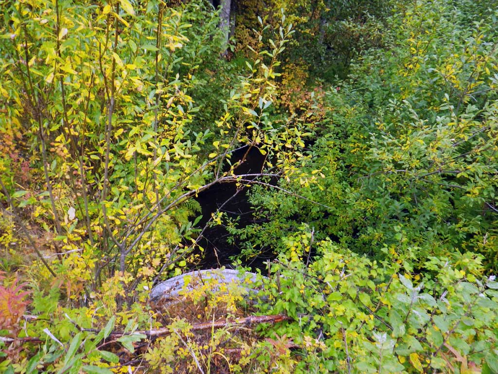
Comments: Site on the railroad near Willow-Fishhook road. At outlet the bank is undercut and has a riffle out of outlet into a glide. Upst area has a riffle near the inlet with a pool upst.
Culvert Measurements
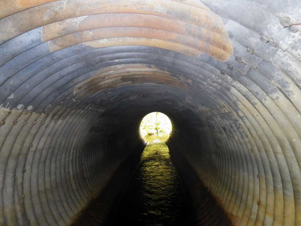
| ID: 1 | Structure Type: Circular pipe (Structural steel plate) | Fish Passage Rating: | |||||||||||||||||||||||||||||||||||||||||
|
|
|
|||||||||||||||||||||||||||||||||||||||||
Culvert Observations:
|
|||||||||||||||||||||||||||||||||||||||||||
Stream Measurements
|
|
| Stream Width Type | Distance From Crossing (ft) |
Stream Width (ft) |
|---|---|---|
| Upstream ordinary high water | 45.0 | 6.60 |
| Upstream ordinary high water | 83.0 | 7.70 |
| Upstream ordinary high water | 109.0 | 5.50 |
Elevations
| Locator ID | Culvert Number |
River Distance (ft)1 |
Distance From Crossing (ft)2 |
Relative Elevation (ft) |
|---|---|---|---|---|
| D/S Thalweg (profile pt) | 0.00 | 83.30 | ||
| D/S Water Surface Elev | 0.00 | 85.16 | ||
| D/S Tailcrest or 1st Thalweg (tailwater control) | 4.00 | 85.09 | ||
| D/S Water Surface Elev | 4.00 | 85.60 | ||
| D/S Water Surface Elev | 46.00 | 85.62 | ||
| Max Pool Depth (max pool) | 46.00 | 82.78 | ||
| Outlet Culvert Top | 51.00 | 92.70 | ||
| Outlet Invert (invert on pipe) | 51.00 | 85.49 | ||
| D/S Water Surface Elev (outlet water surface) | 51.00 | 85.82 | ||
| Road Elev | 76.00 | 100.00 | ||
| Inlet Culvert Top | 106.00 | 93.39 | ||
| Inlet Culvert Invert (invert on pipe) | 106.00 | 86.09 | ||
| U/S Water Surface Elev (inlet water surface) | 106.00 | 86.65 | ||
| U/S Water Surface Elev | 119.00 | 86.72 | ||
| U/S Thalweg (profile pt in glide) | 119.00 | 85.78 | ||
| U/S Water Surface Elev (water surface for gradient) | 152.00 | 87.88 | ||
| U/S Water Surface Elev (water surface for gradient) | 236.00 | 89.18 |
Notes:
- River distance is measured continuously throughout the survey reach along the thalweg of the stream.
- Measured from each end of the crossing along the thalweg of the stream.
Fish Sampling Efforts
No fish sampling occurred during this survey.
Fish Observations
No fish observations occurred during this survey.
Photos
Questions or comments about this report can be directed to dfg.dsf.webmaster@alaska.gov