Fish Passage Site 20502126
Coordinates (dec. deg.): 61.68623°, -149.97345°
Legal Description: S019N004W34
Region: South Central
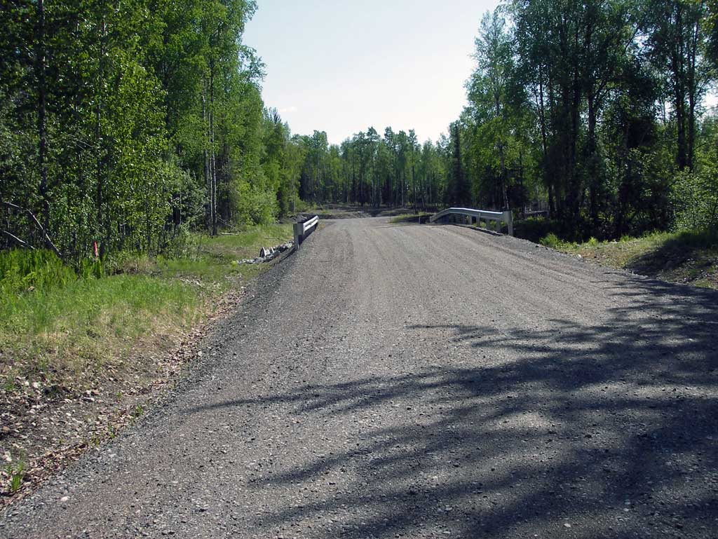
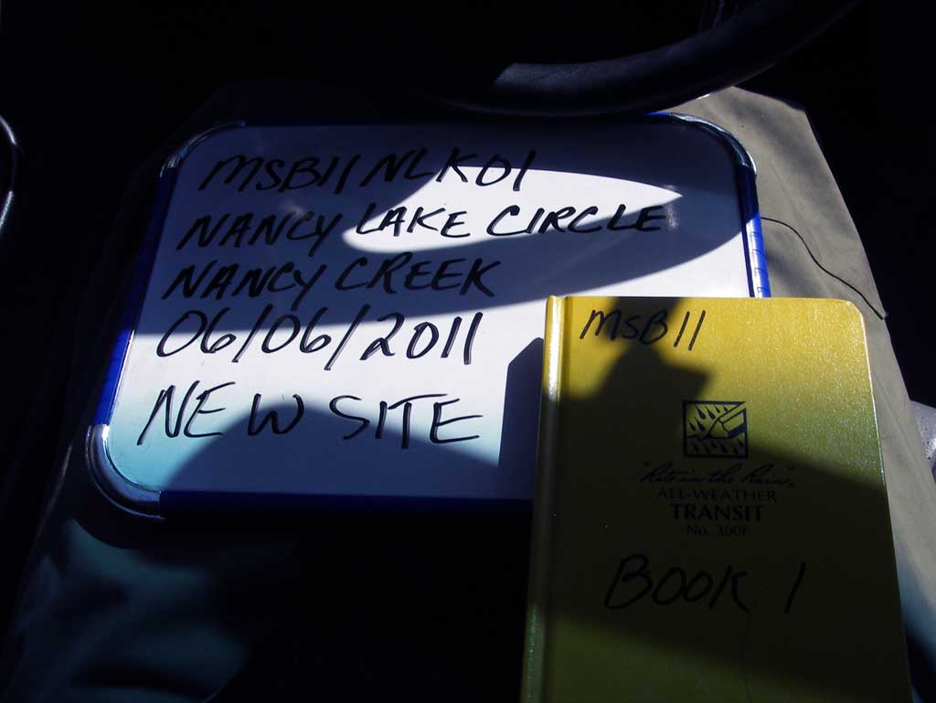
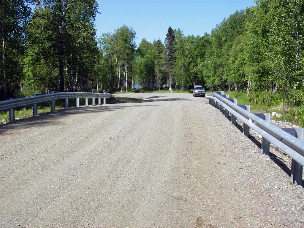
Road Name: Nancy Lake Circle
Datum: NAD83
Quad Name / ITM: Anchorage C-8
AWC Stream #:
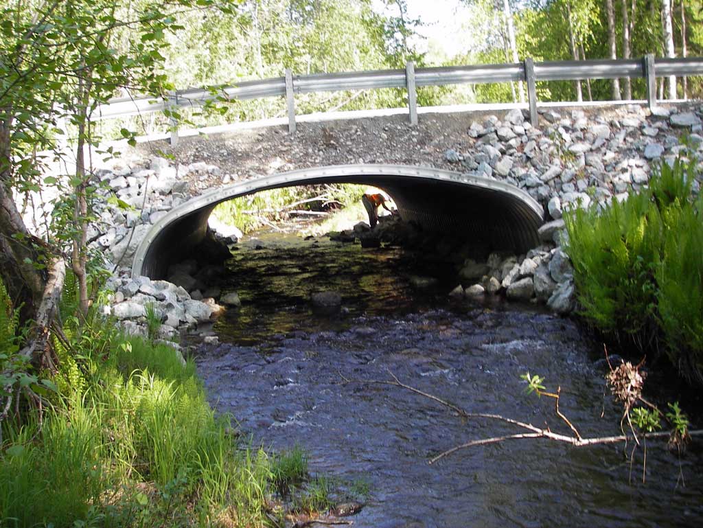
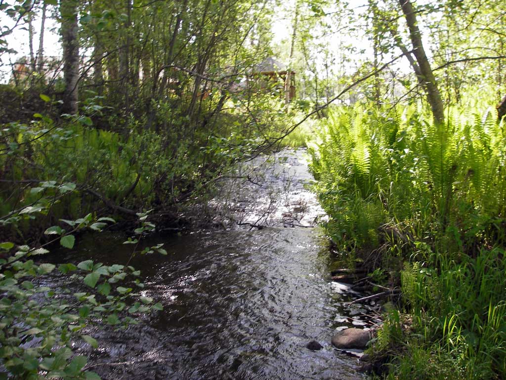
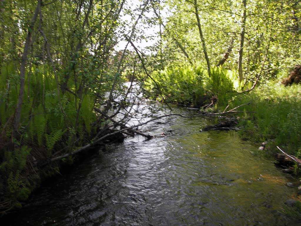
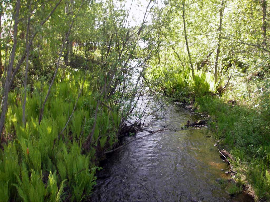
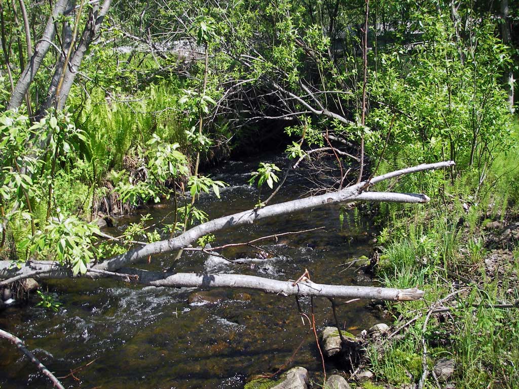
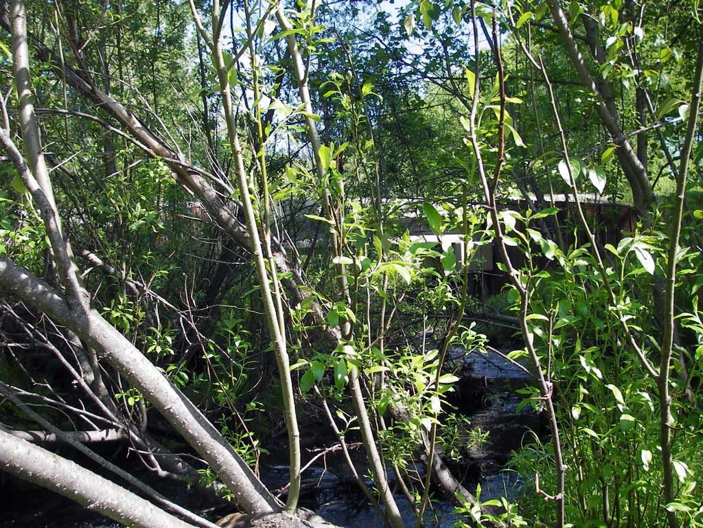
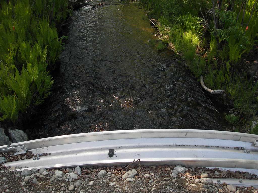
Stream Name: Nancy Creek
Elevation:
Site Comments: None
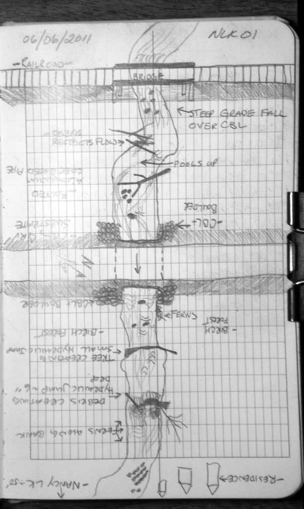
Survey MSB11-NLK01
Project Supervisor: Gillian O'Doherty, Alaska Department of Fish and Game
— Anchorage, AK
Observers: John Greuey, Abraham Gioffre
Overall Fish Passage Rating:
Tidal: No
Backwatered: No
Step Pools: No
Construction Year: 2010
Site Observations:
- None of this type
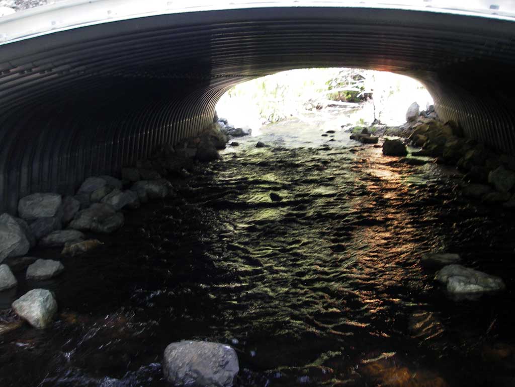
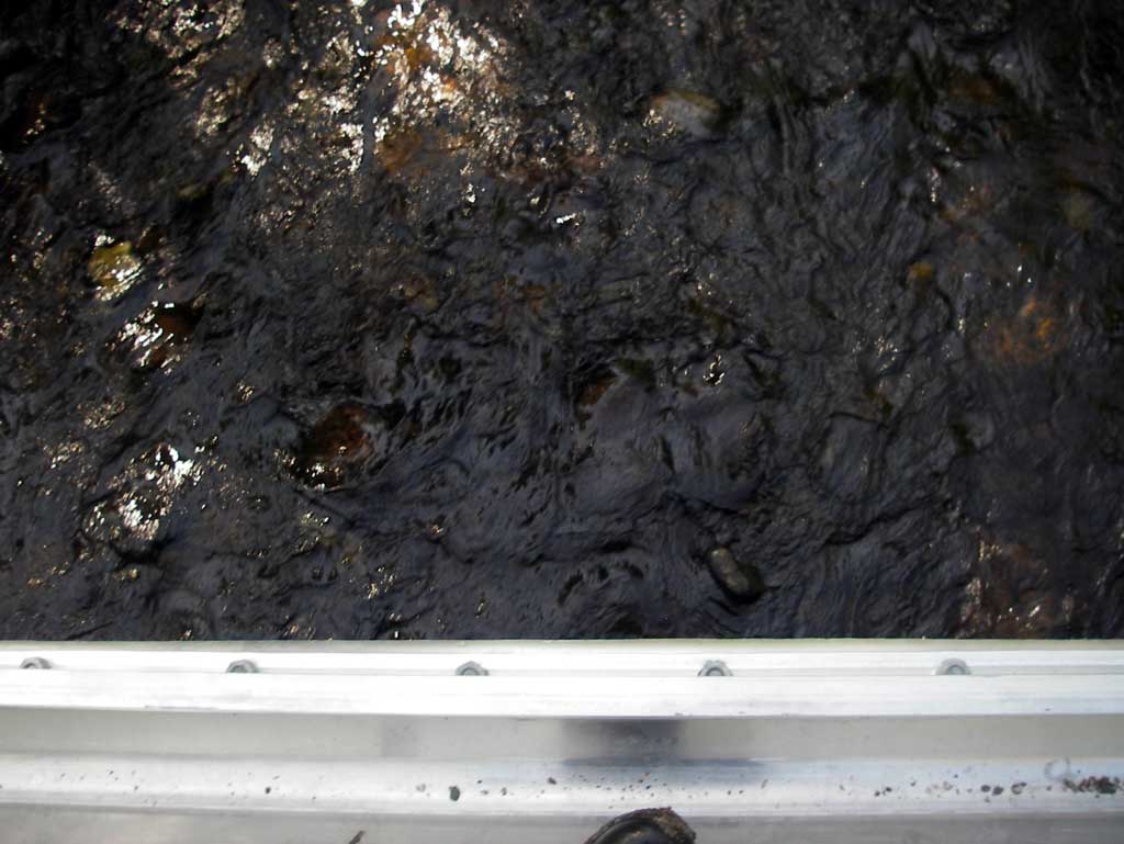
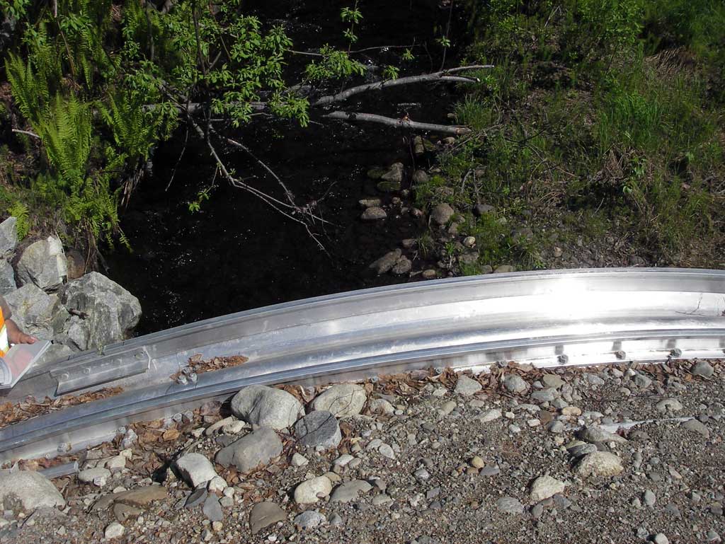
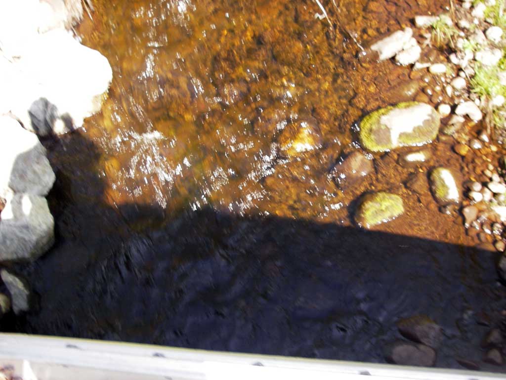
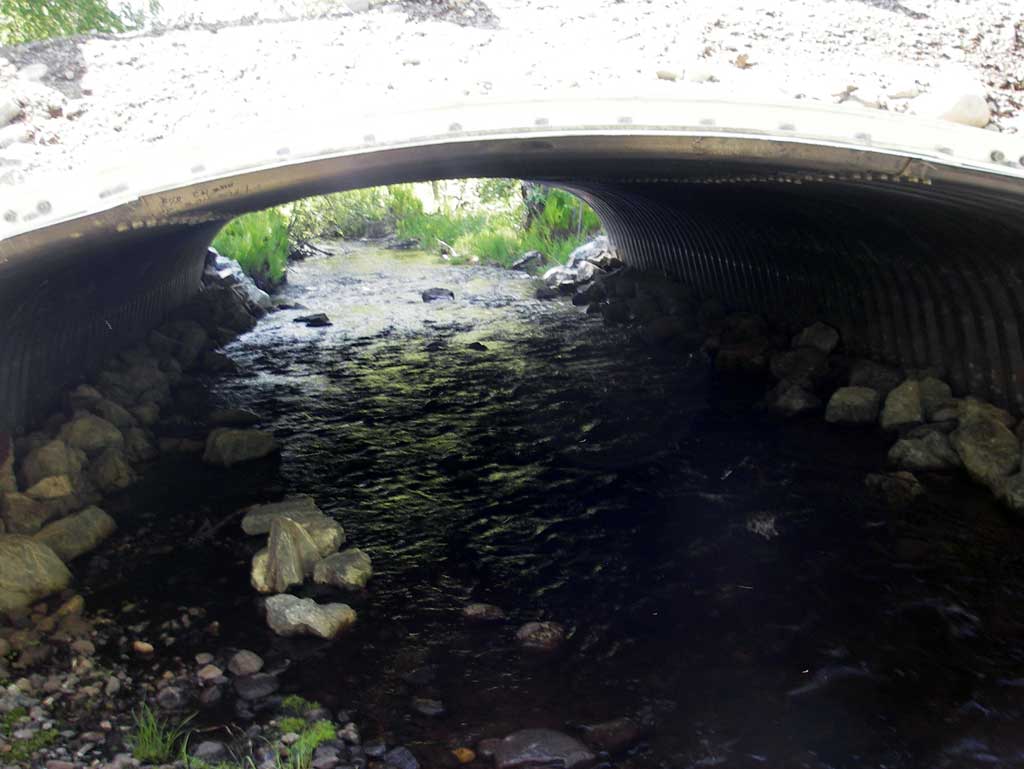
Comments: Appears to be a new culvert. Juvenile fish observed.
Culvert Measurements
| ID: 1 | Structure Type: Box culvert (Structural aluminum plate) | Fish Passage Rating: | |||||||||||||||||||||||||||||||||||||||||
|
|
|
|||||||||||||||||||||||||||||||||||||||||
Culvert Observations:
|
|||||||||||||||||||||||||||||||||||||||||||
Stream Measurements
|
|
| Stream Width Type | Distance From Crossing (ft) |
Stream Width (ft) |
|---|---|---|
| Downstream ordinary high water | 75.0 | 10.10 |
| Downstream ordinary high water | 131.0 | 13.75 |
| Downstream ordinary high water | 242.0 | 13.10 |
Elevations
| Locator ID | Culvert Number |
River Distance (ft)1 |
Distance From Crossing (ft)2 |
Relative Elevation (ft) |
|---|---|---|---|---|
| Road Elev | 101.57 | |||
| D/S Grade Ctrl (Thalweg) | 0.00 | 89.25 | ||
| D/S Water Surface Elev (Used for stream gradient) | 0.00 | 89.55 | ||
| D/S Grade Ctrl (Thalweg) | 86.00 | 90.65 | ||
| D/S Water Surface Elev | 86.00 | 91.24 | ||
| D/S Grade Ctrl (Thalweg) | 130.00 | 91.33 | ||
| D/S Water Surface Elev (Used for stream gradient) | 130.00 | 92.21 | ||
| D/S Water Surface Elev (Water surface at outlet) | 186.00 | 92.79 | ||
| Outlet Invert | 186.00 | 92.20 | ||
| Outlet Culvert Top | 186.00 | 98.48 | ||
| Inlet Culvert Top | 227.18 | 99.04 | ||
| Inlet Culvert Invert | 227.18 | 92.82 | ||
| U/S Water Surface Elev (Water surface at inlet) | 227.18 | 93.48 | ||
| U/S Grade Ctrl (Thalweg) (Top of riffle) | 272.18 | 94.06 | ||
| U/S Water Surface Elev | 272.18 | 94.74 |
Notes:
- River distance is measured continuously throughout the survey reach along the thalweg of the stream.
- Measured from each end of the crossing along the thalweg of the stream.
Fish Sampling Efforts
| Gear Type: Visual Observation, Ground (A) | ||
| Comments: Juvenile fish observered. | ||
Fish Observations
No fish observations occurred during this survey.
Photos
Questions or comments about this report can be directed to dfg.dsf.webmaster@alaska.gov