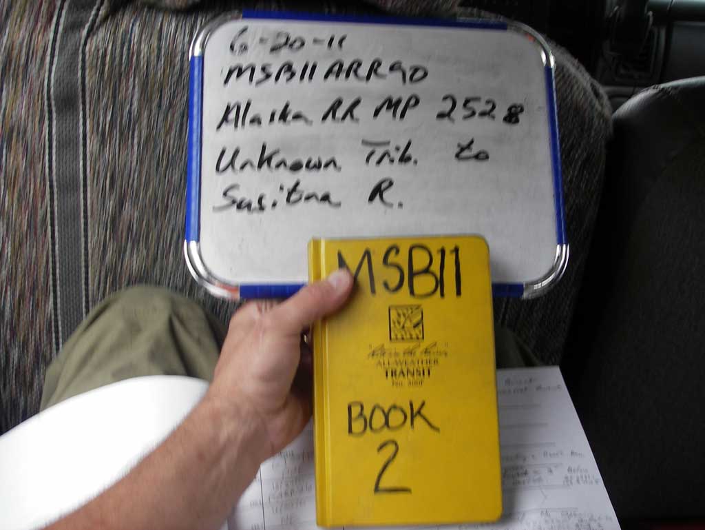
Fish Passage Site 20502124
Coordinates (dec. deg.): 62.65964°, -149.92154°
Legal Description: S030N003W30
Region: South Central
Road Name: Alaska Railroad
Datum: NAD83
Quad Name / ITM: Talkeetna Mts C-6
AWC Stream #:
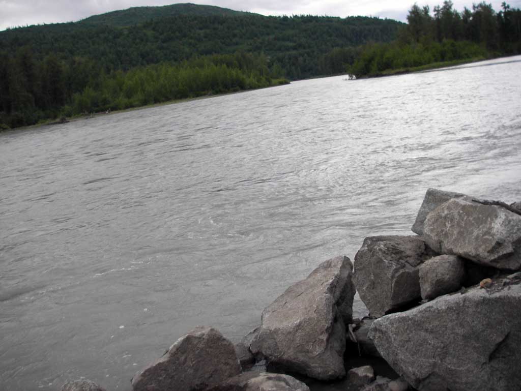
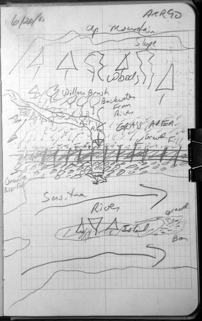
Stream Name: Susitna River tributary
Elevation:
Site Comments: RR MP 252.9
Survey MSB11-ARR90
Project Supervisor: Gillian O'Doherty, Alaska Department of Fish and Game
— Anchorage, AK
Observers: John Greuey, Abraham Gioffre
Overall Fish Passage Rating:
Tidal: No
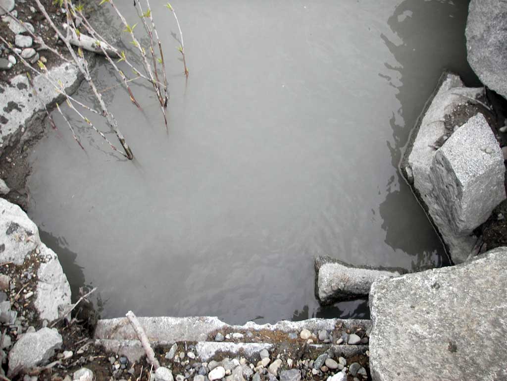
Backwatered: Yes
Step Pools: No
Construction Year:
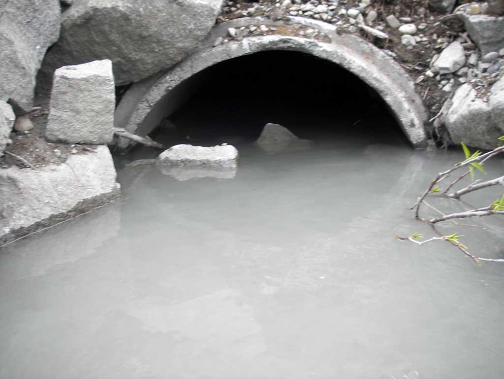
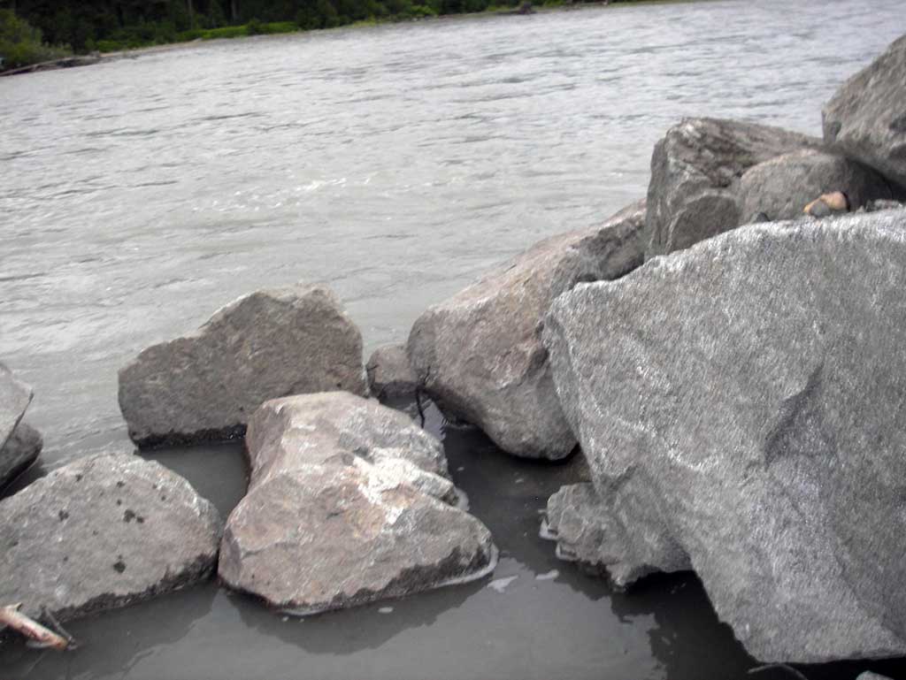
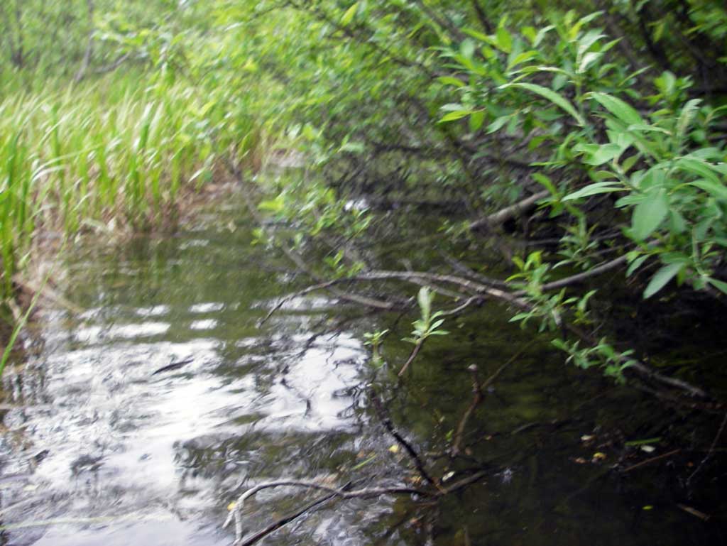
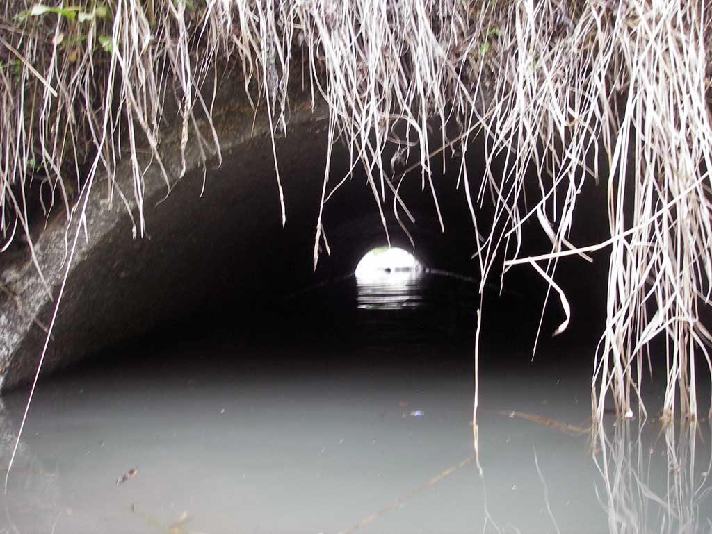
Comments: Alaska Railroad site at MP 252.9. Direct trib to Susitna R with confluence approx 10' dwst. Culvert is backwatered from the river and upst area is a lowland bog. Profile started upstream.
Culvert Measurements
| ID: 1 | Structure Type: Circular pipe (Reinforced concrete) | Fish Passage Rating: | ||||||||||||||||||||||||||||||||||||||||||
|
|
|
||||||||||||||||||||||||||||||||||||||||||
Stream Measurements
|
|
| Stream Width Type | Distance From Crossing (ft) |
Stream Width (ft) |
|---|---|---|
| Upstream ordinary high water | 20.0 | 8.50 |
| Upstream ordinary high water | 50.0 | 13.00 |
| Upstream ordinary high water | 80.0 | 12.70 |
Elevations
| Locator ID | Culvert Number |
River Distance (ft)1 |
Distance From Crossing (ft)2 |
Relative Elevation (ft) |
|---|---|---|---|---|
| U/S Grade Ctrl (Thalweg) (Silt substrate of poos) | 0.00 | 89.12 | ||
| U/S Water Surface Elev | 0.00 | 90.82 | ||
| Inlet Culvert Invert (On silt substrate) | 40.00 | 88.66 | ||
| U/S Water Surface Elev (Water surface at inlet) | 40.00 | 90.80 | ||
| Inlet Culvert Top | 40.00 | 92.08 | ||
| Road Elev (Middle of railroad tracks) | 60.00 | 99.40 | ||
| D/S Water Surface Elev (Water surface at outlet) | 81.00 | 90.82 | ||
| Outlet Culvert Top (Used Inside of top of pipe due to corrosion on top of pipe) | 81.00 | 92.05 | ||
| Outlet Invert | 81.00 | 89.62 | ||
| D/S Tailcrest or 1st Thalweg (Tail water control is silt substrate near large boulder) | 84.00 | 90.00 | ||
| D/S Water Surface Elev (Tail water surface) | 84.00 | 90.79 |
Notes:
- River distance is measured continuously throughout the survey reach along the thalweg of the stream.
- Measured from each end of the crossing along the thalweg of the stream.
Fish Sampling Efforts
No fish sampling occurred during this survey.
Fish Observations
No fish observations occurred during this survey.
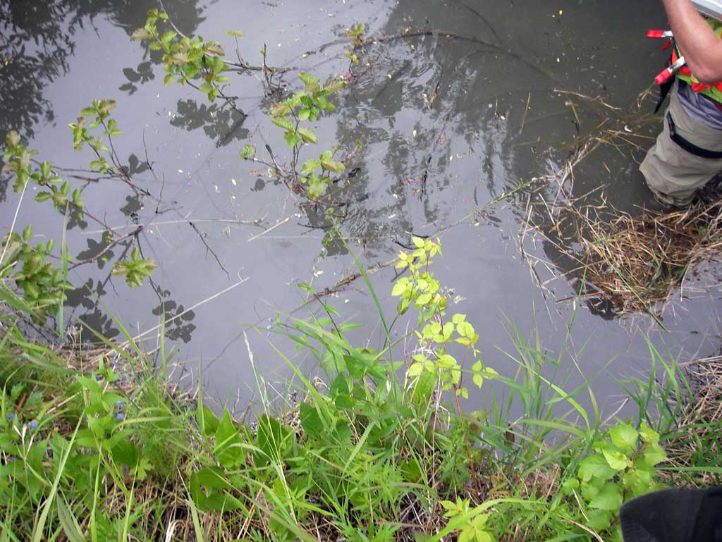
Photos
Questions or comments about this report can be directed to dfg.dsf.webmaster@alaska.gov