Fish Passage Site 20502123
Coordinates (dec. deg.): 61.64512°, -149.87674°
Legal Description: S018N003W18
Region: South Central
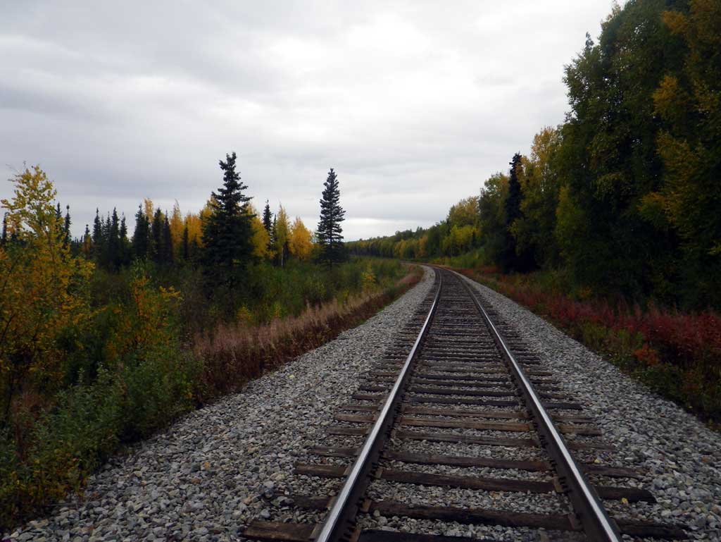
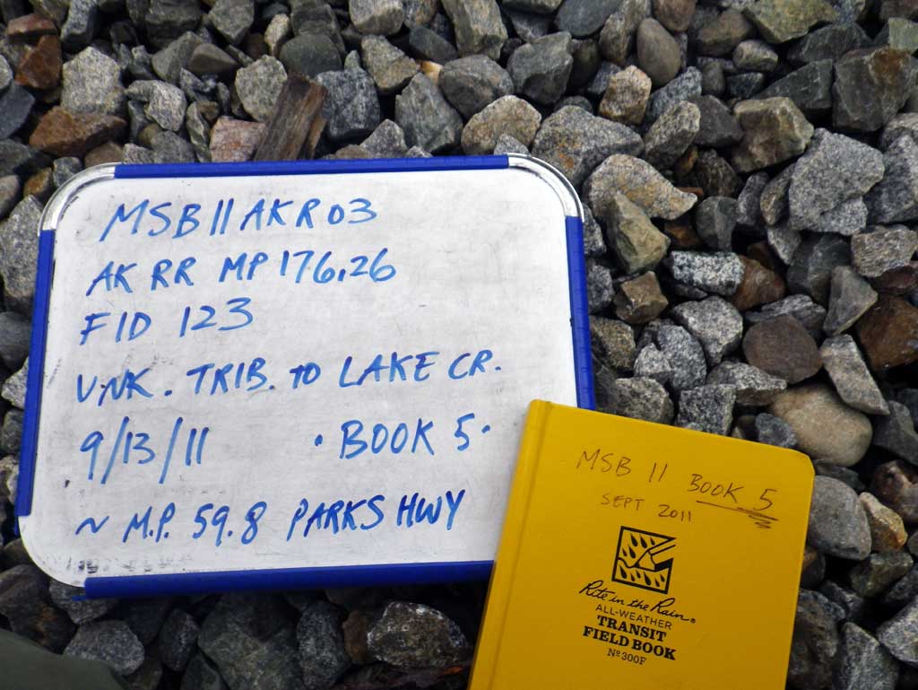
Road Name: Alaska Railroad
Datum: NAD83
Quad Name / ITM: Anchorage C-8
AWC Stream #:
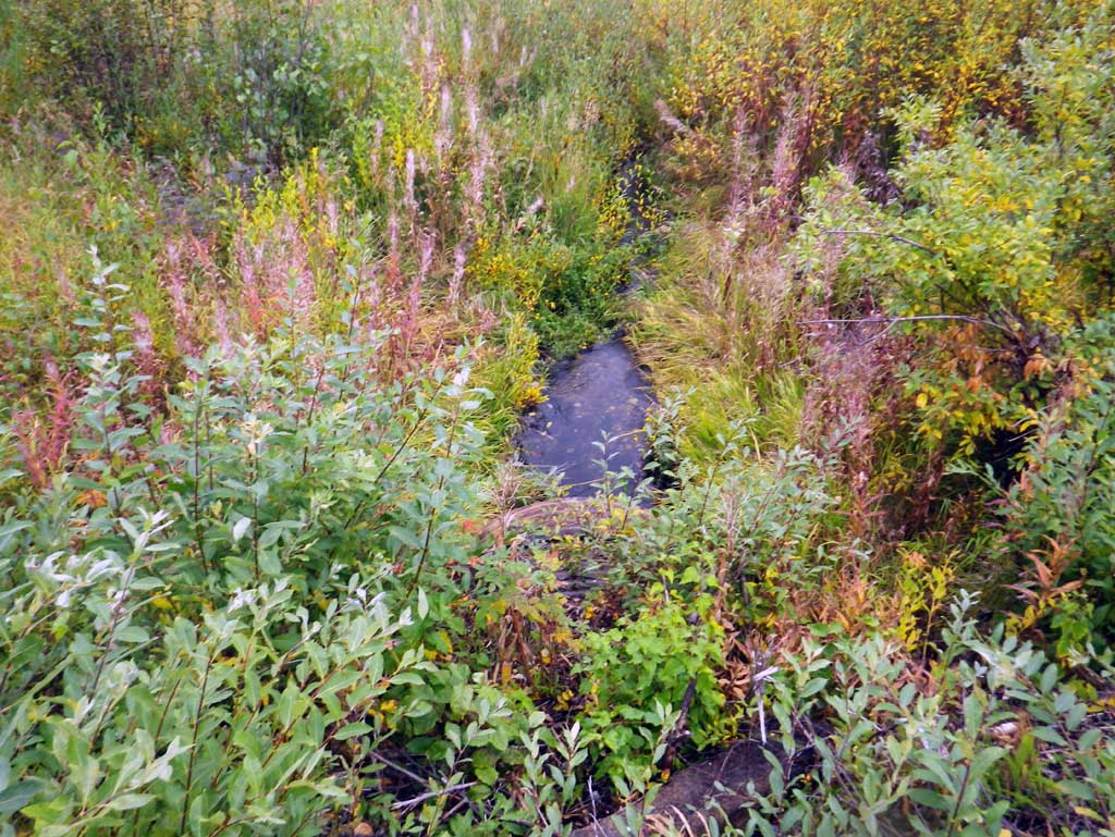
Stream Name: Lake Creek tributary
Elevation:
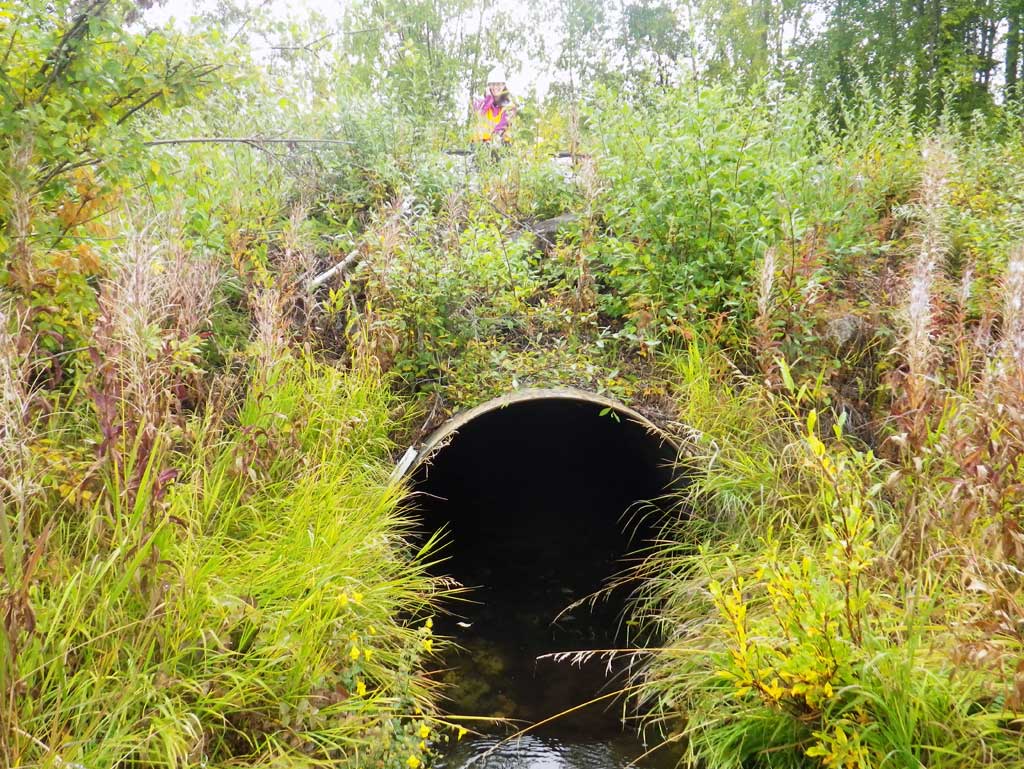
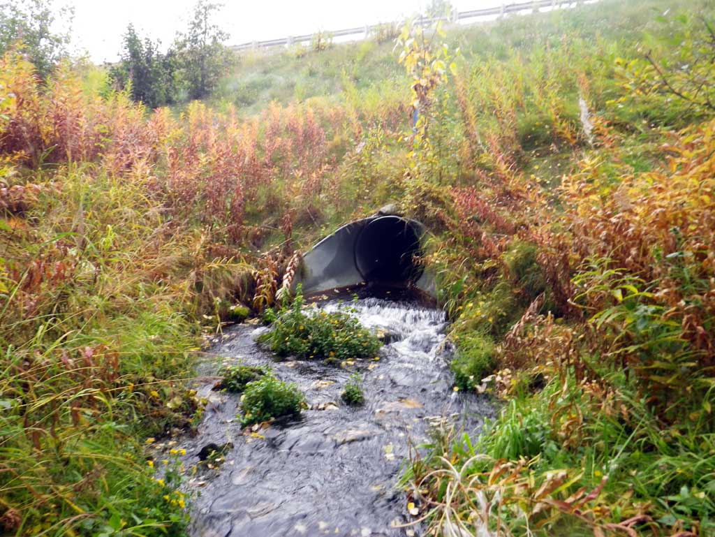
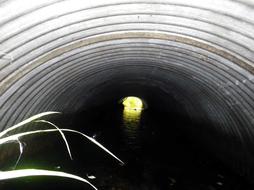
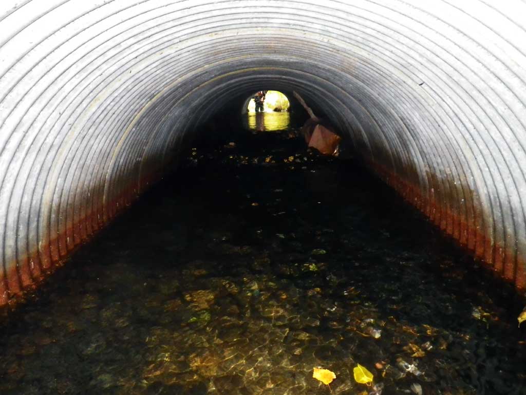
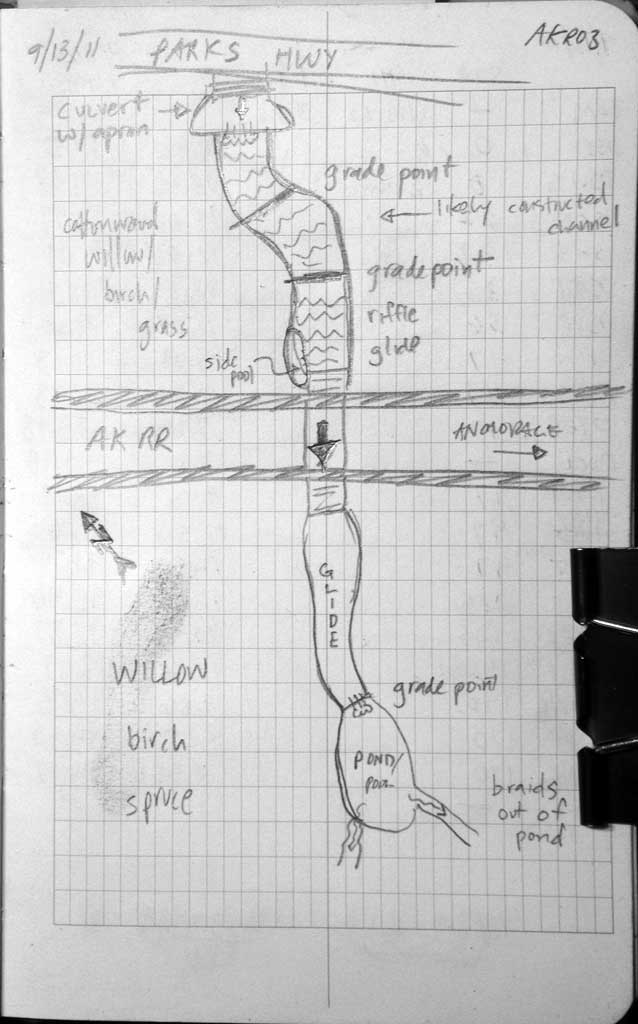
Site Comments: Alaska RR at MP 176.26. Upst 60' is a culvert under the Parks Highway
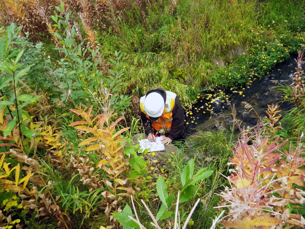
Survey MSB11-AKR03
Project Supervisor: Gillian O'Doherty, Alaska Department of Fish and Game
— Anchorage, AK
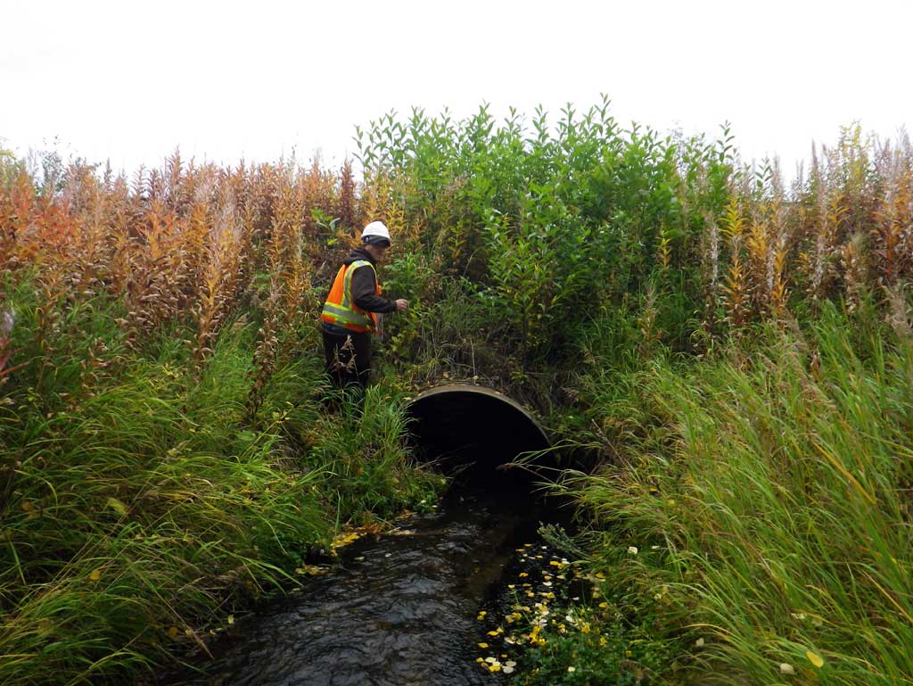
Observers: Abraham Gioffre, Jim Latham
Overall Fish Passage Rating:
Tidal: No
Backwatered: No
Step Pools: No
Construction Year:
Site Observations:
- Culvert sagging in middle
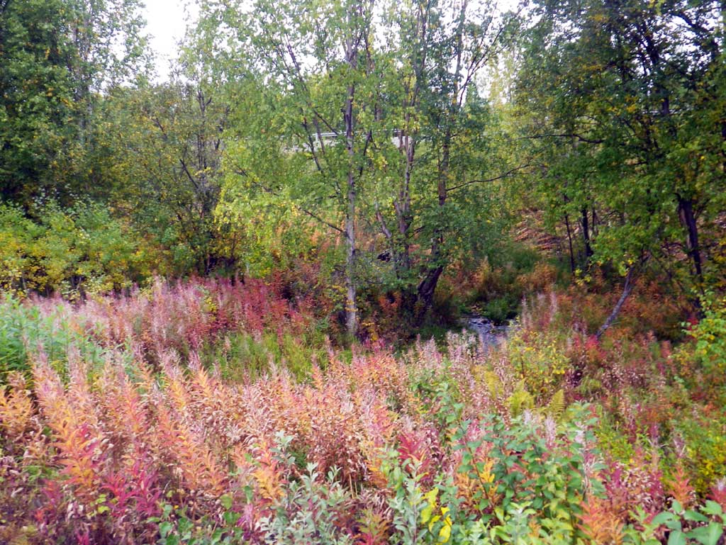
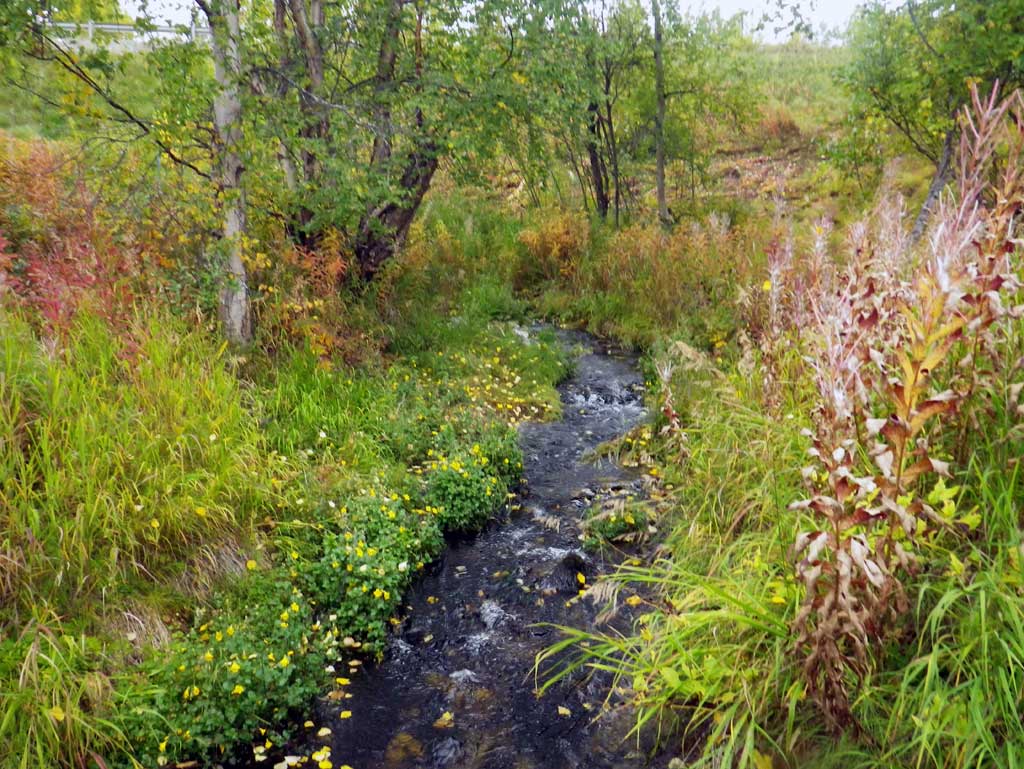
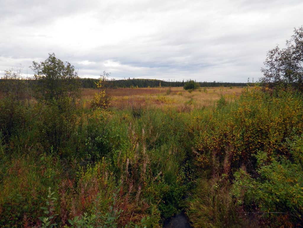
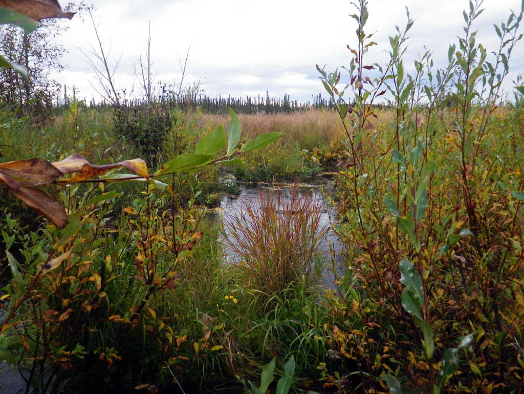
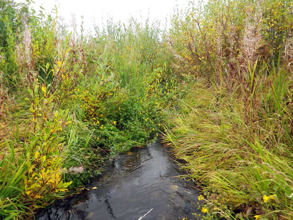
Comments: A new site on the railroad which has a braided channel downstream that flows into a marshland. Upstream 60 feet is a culvert under the Parks Highway so stream meaurements could only be taken 60 feet upstream. The stream measurements could be influenced by the culvert on the Parks.
Culvert Measurements
| ID: 1 | Structure Type: Circular pipe (Corrugated steel) | Fish Passage Rating: | ||||||||||||||||||||||||||||||||||||||||||
|
|
|
||||||||||||||||||||||||||||||||||||||||||
Comments: No stream gradient measured. |
||||||||||||||||||||||||||||||||||||||||||||
Culvert Observations:
|
||||||||||||||||||||||||||||||||||||||||||||
Stream Measurements
|
|
| Stream Width Type | Distance From Crossing (ft) |
Stream Width (ft) |
|---|---|---|
| Upstream ordinary high water | 25.0 | 5.00 |
| Upstream ordinary high water | 50.0 | 3.50 |
| Upstream ordinary high water | 60.0 | 5.00 |
Elevations
| Locator ID | Culvert Number |
River Distance (ft)1 |
Distance From Crossing (ft)2 |
Relative Elevation (ft) |
|---|---|---|---|---|
| D/S Thalweg (profile pt) | 0.00 | 89.20 | ||
| D/S Water Surface Elev | 0.00 | 89.97 | ||
| D/S Grade Ctrl (Thalweg) (Grade pt at woody debris) | 22.00 | 89.94 | ||
| D/S Water Surface Elev | 22.00 | 91.09 | ||
| D/S Water Surface Elev | 36.00 | 91.25 | ||
| D/S Tailcrest or 1st Thalweg (tailwater control) | 36.00 | 90.71 | ||
| D/S Water Surface Elev (outlet water surface) | 47.00 | 91.28 | ||
| Outlet Invert (invert on substrate) | 47.00 | 90.13 | ||
| Outlet Culvert Top | 47.00 | 93.98 | ||
| Road Elev | 72.00 | 99.78 | ||
| Inlet Culvert Invert (invert on substrate) | 97.00 | 91.06 | ||
| Inlet Culvert Top | 97.00 | 94.17 | ||
| U/S Water Surface Elev (inlet water surface) | 97.00 | 91.74 | ||
| U/S Grade Ctrl (Thalweg) (grade pt) | 125.00 | 92.46 | ||
| U/S Water Surface Elev | 125.00 | 92.87 | ||
| U/S Thalweg (profile pt) | 140.00 | 93.07 | ||
| U/S Water Surface Elev | 140.00 | 93.76 | ||
| U/S Thalweg (profile pt) | 170.00 | 94.35 | ||
| U/S Water Surface Elev | 170.00 | 95.07 |
Notes:
- River distance is measured continuously throughout the survey reach along the thalweg of the stream.
- Measured from each end of the crossing along the thalweg of the stream.
Fish Sampling Efforts
No fish sampling occurred during this survey.
Fish Observations
No fish observations occurred during this survey.
Photos
Questions or comments about this report can be directed to dfg.dsf.webmaster@alaska.gov