Fish Passage Site 20502120
Coordinates (dec. deg.): 61.63170°, -149.83406°
Legal Description: S018N003W21
Region: South Central
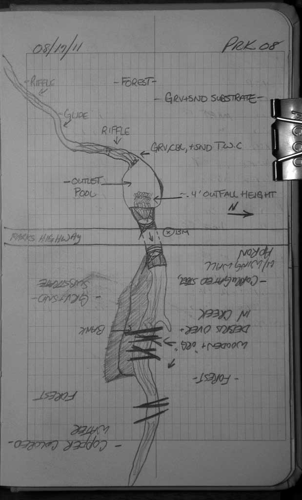
Road Name: Parks Highway
Datum: NAD83
Quad Name / ITM: Anchorage C-8
AWC Stream #:
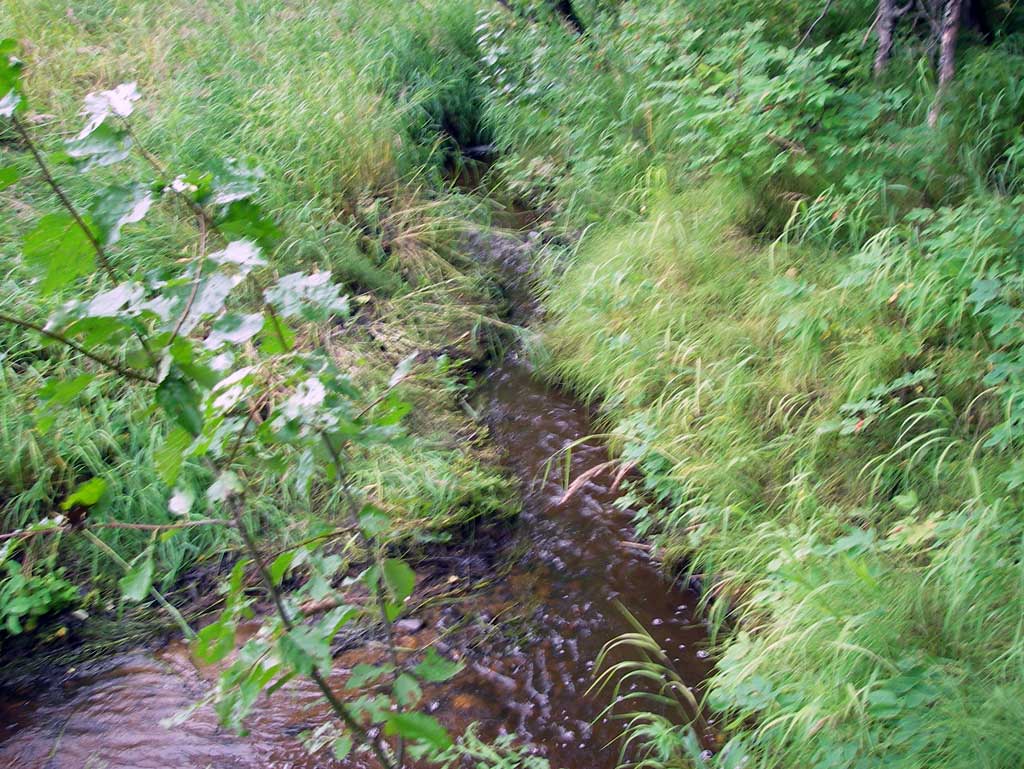
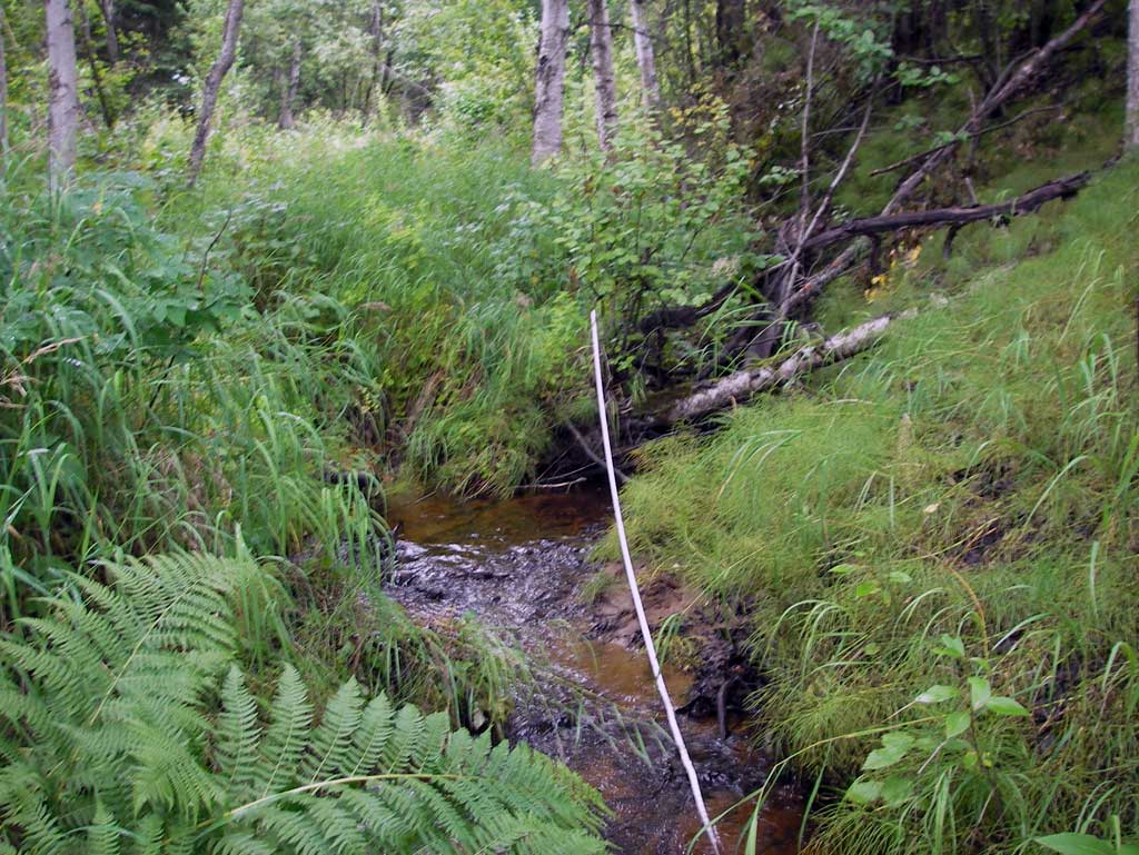
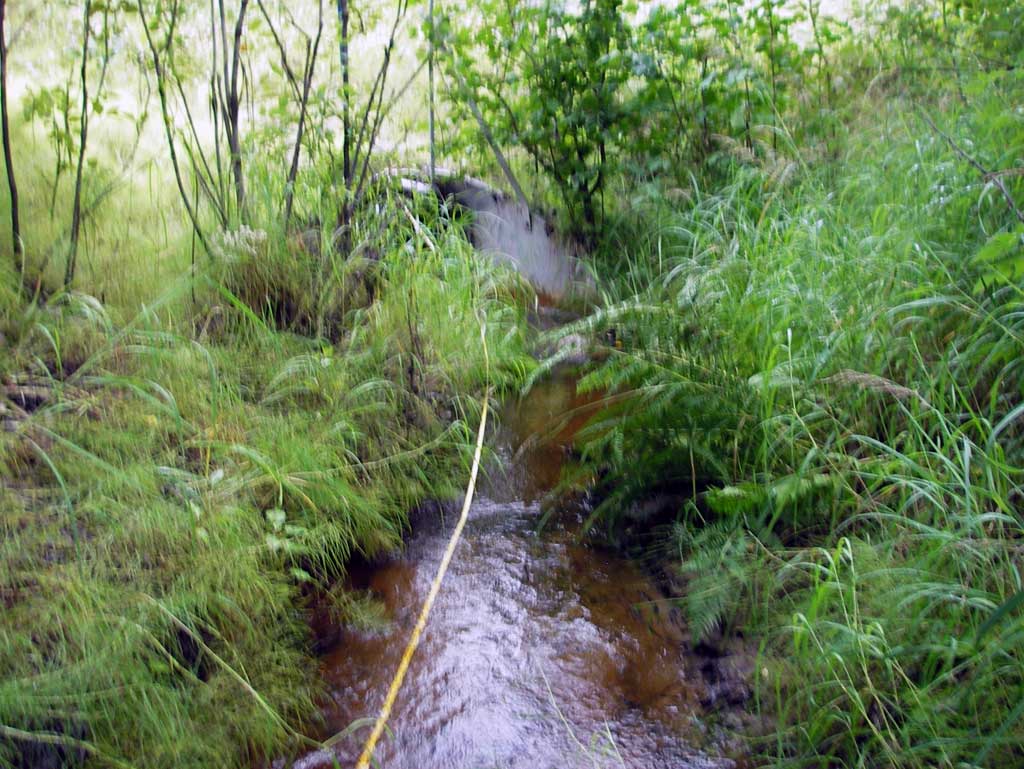
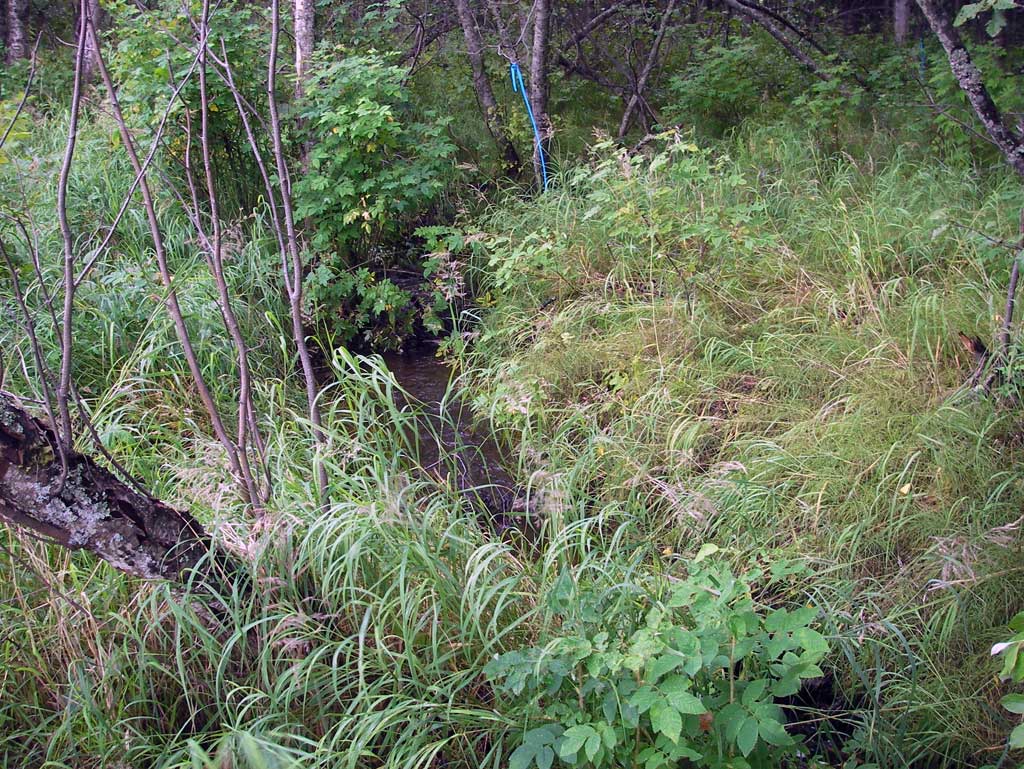
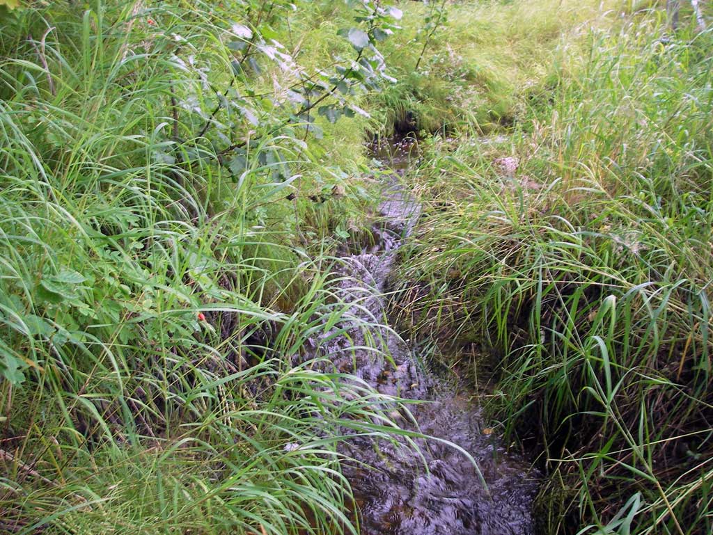
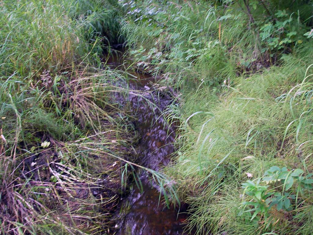
Stream Name: Susitna River tributary
Elevation:
Site Comments: None
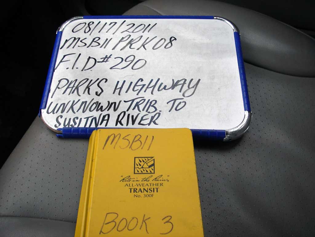
Survey MSB11-PRK08
Project Supervisor: Gillian O'Doherty, Alaska Department of Fish and Game
— Anchorage, AK
Observers: John Greuey, Abraham Gioffre
Overall Fish Passage Rating:
Tidal: No
Backwatered: No
Step Pools: No
Construction Year:
Site Observations:
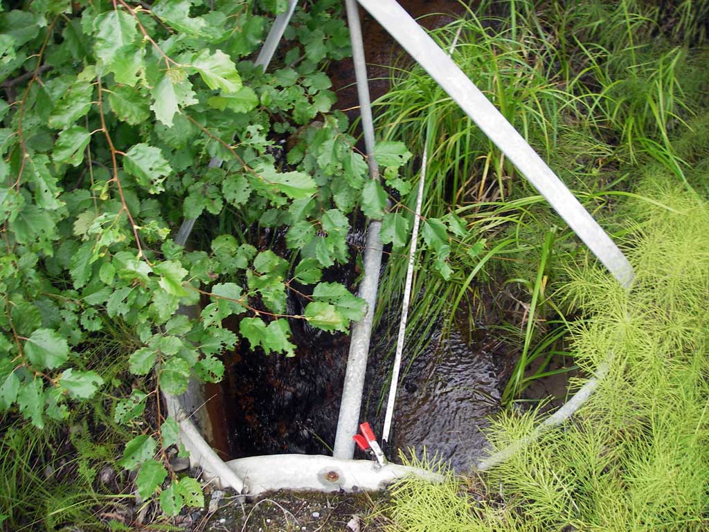
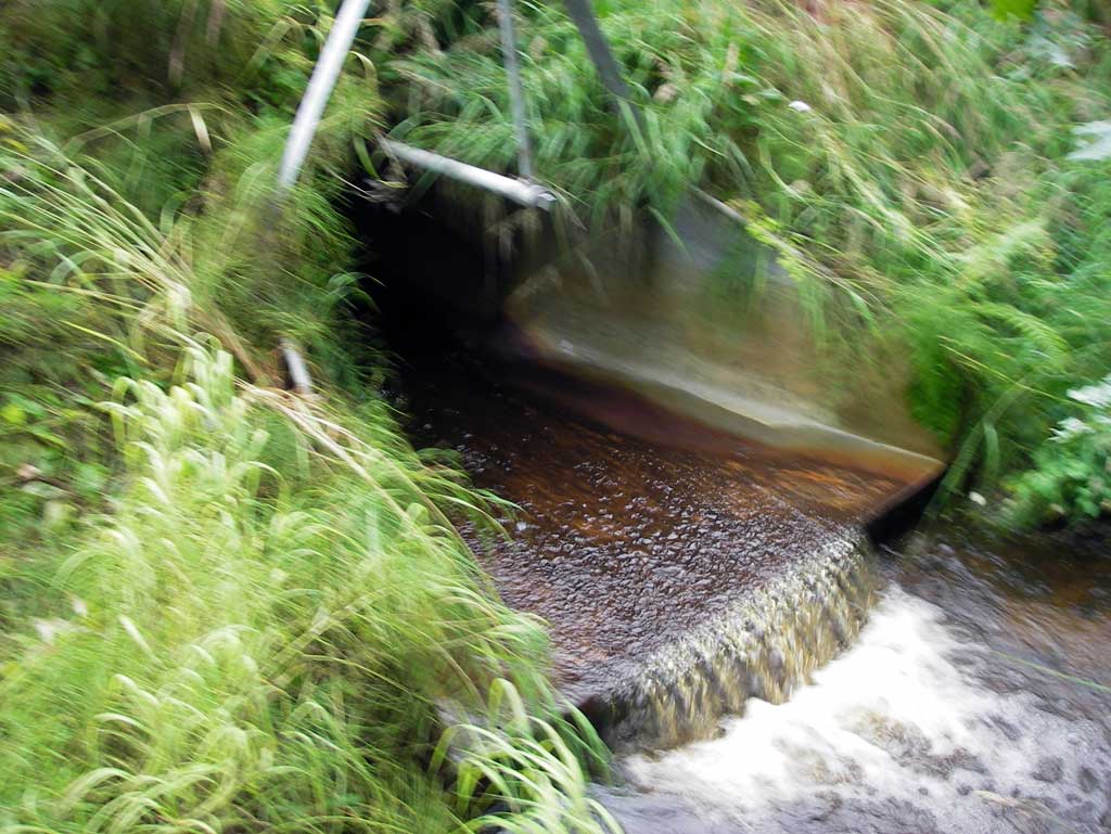
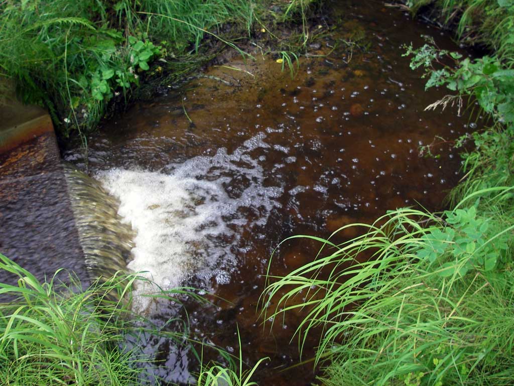
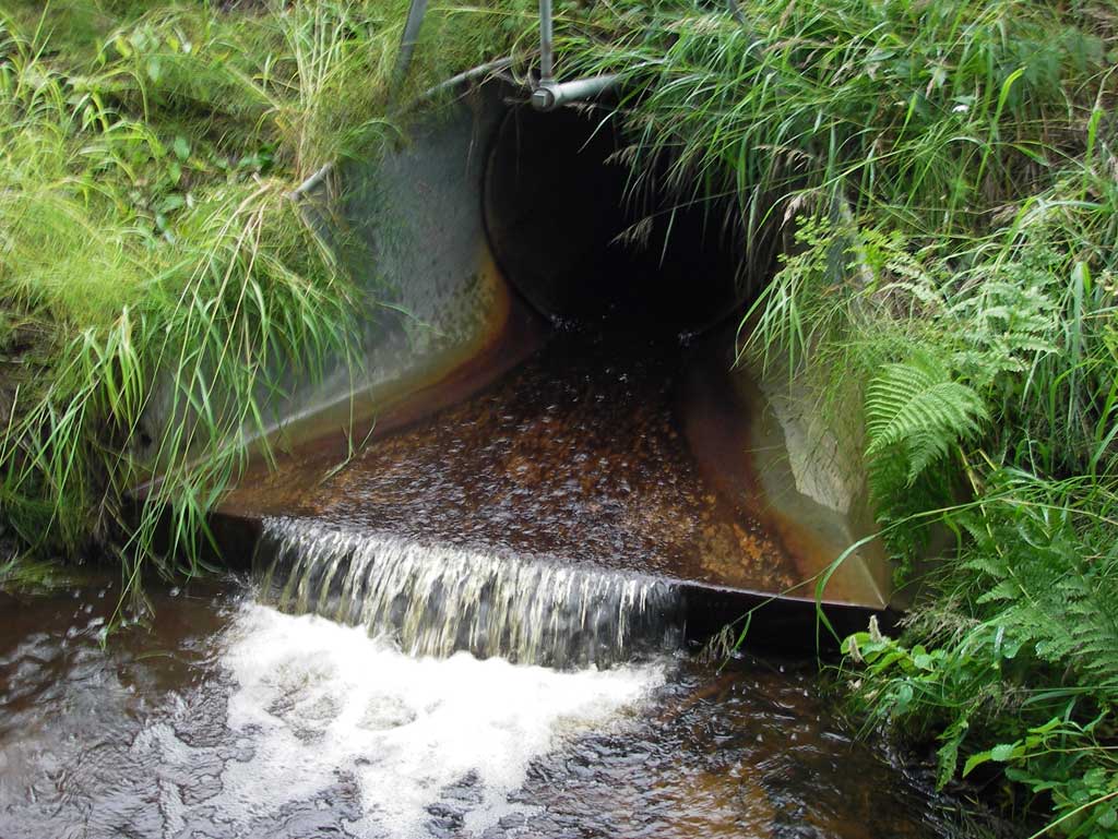
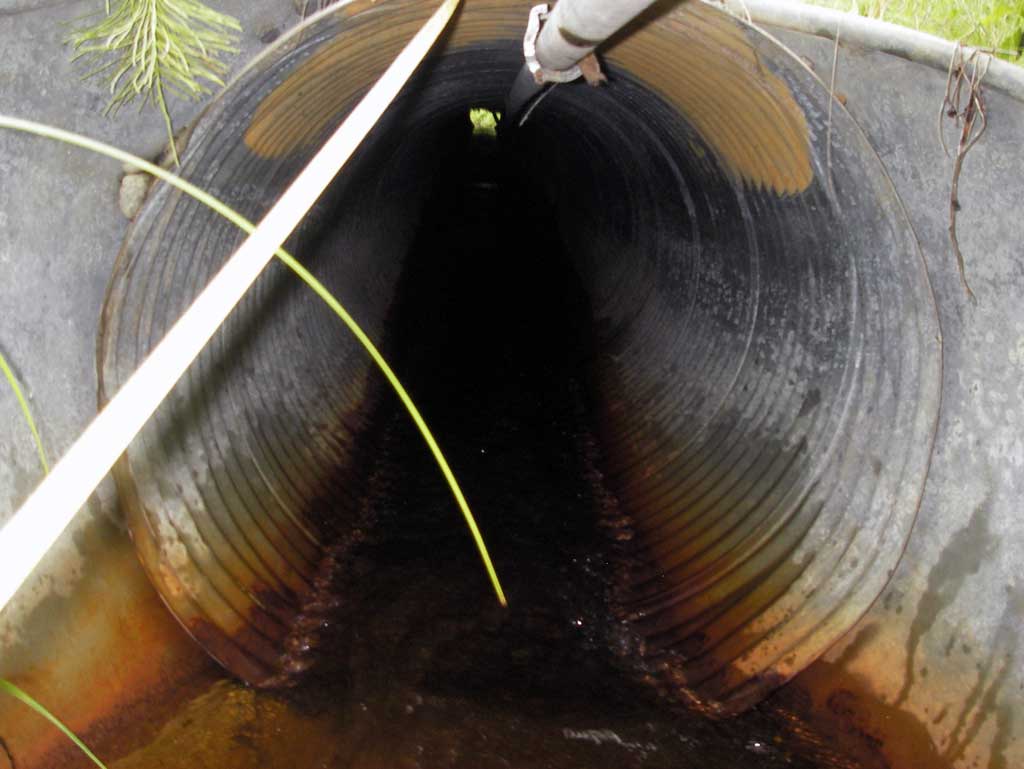
- Outfall height red
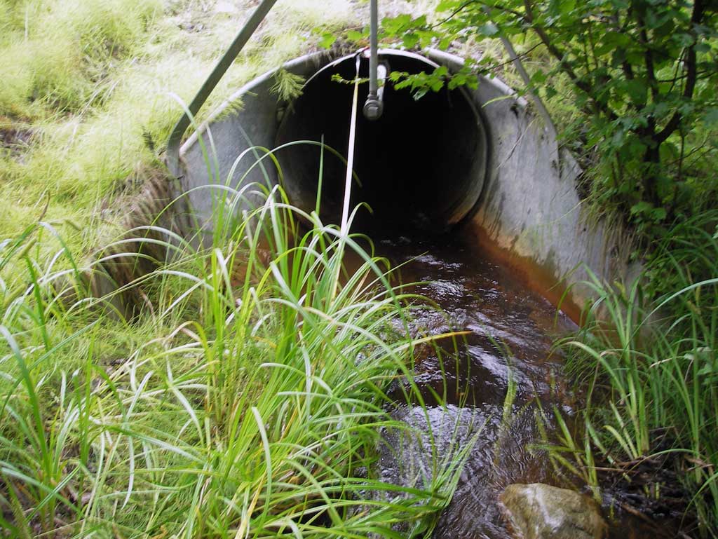
- Compound gradient in pipe
- Culvert gradient red
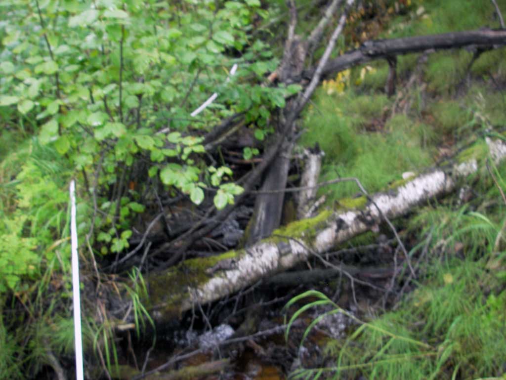
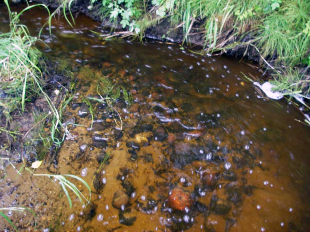
Comments: Small compound gradient noticed in middle of pipe which serves a small headwater stream with a narrow stream channel with several woody debris cascades upstream.
Culvert Measurements
| ID: 1 | Structure Type: Circular pipe (Corrugated steel) | Fish Passage Rating: | |||||||||||||||||||||||||||||||||||||||||
|
|
|
|||||||||||||||||||||||||||||||||||||||||
Culvert Observations:
|
|||||||||||||||||||||||||||||||||||||||||||
Stream Measurements
|
|
| Stream Width Type | Distance From Crossing (ft) |
Stream Width (ft) |
|---|---|---|
| Upstream ordinary high water | 20.0 | 4.80 |
| Upstream ordinary high water | 40.0 | 4.95 |
| Upstream ordinary high water | 75.0 | 4.00 |
Elevations
| Locator ID | Culvert Number |
River Distance (ft)1 |
Distance From Crossing (ft)2 |
Relative Elevation (ft) |
|---|---|---|---|---|
| D/S Grade Ctrl (Thalweg) (Bottom of riffle) | 0.00 | 84.33 | ||
| D/S Water Surface Elev | 0.00 | 84.95 | ||
| D/S Tailcrest or 1st Thalweg (Tail water control) | 16.00 | 85.16 | ||
| D/S Water Surface Elev (Tail water surface) | 16.00 | 85.51 | ||
| Misc. (Invert at end of outlet apron. On pipe) | 24.00 | 85.91 | ||
| D/S Water Surface Elev (Water surface at outlet apron) | 24.00 | 85.95 | ||
| Outlet Invert (On pipe) | 28.65 | 86.11 | ||
| D/S Water Surface Elev (Water surface at outlet invert) | 28.65 | 86.29 | ||
| Outlet Culvert Top | 28.65 | 89.08 | ||
| Road Elev | 86.00 | 100.00 | ||
| Inlet Culvert Top | 143.65 | 90.80 | ||
| Inlet Culvert Invert (On pipe) | 143.65 | 87.80 | ||
| U/S Water Surface Elev (Water surface at inlet invert) | 143.65 | 88.11 | ||
| U/S Water Surface Elev (Water surface at inlet apron) | 148.30 | 88.11 | ||
| Misc. (Invert at end of inlet apron. On pipe) | 148.30 | 87.96 | ||
| U/S Water Surface Elev | 156.30 | 88.22 | ||
| Max Pool Depth (Max pool depth upstream of inlet) | 156.30 | 87.69 | ||
| U/S Water Surface Elev (Used for stream gradient. Three resting pools not present, continuous riffle.) | 175.30 | 88.41 | ||
| U/S Water Surface Elev (Used for stream gradient. Three resting pools not present, continuous riffle) | 263.30 | 92.42 |
Notes:
- River distance is measured continuously throughout the survey reach along the thalweg of the stream.
- Measured from each end of the crossing along the thalweg of the stream.
Fish Sampling Efforts
No fish sampling occurred during this survey.
Fish Observations
No fish observations occurred during this survey.
Photos

Questions or comments about this report can be directed to dfg.dsf.webmaster@alaska.gov