Fish Passage Site 20502113
Coordinates (dec. deg.): 61.57636°, -149.72813°
Legal Description: S017N003W12
Region: South Central
Road Name: Private Gravel ATV road
Datum: NAD83
Quad Name / ITM: Anchorage C-8
AWC Stream #:
Stream Name: Little Meadow Creek
Elevation:
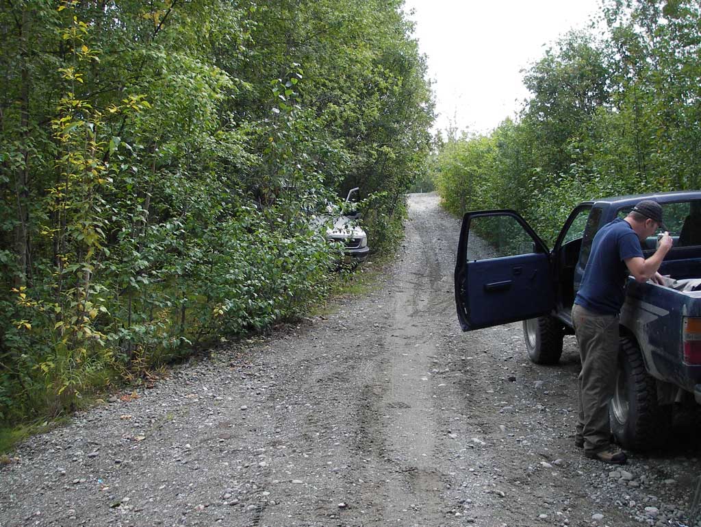
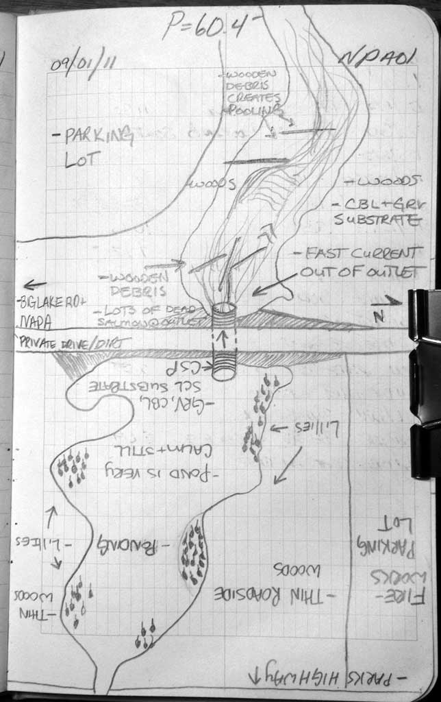
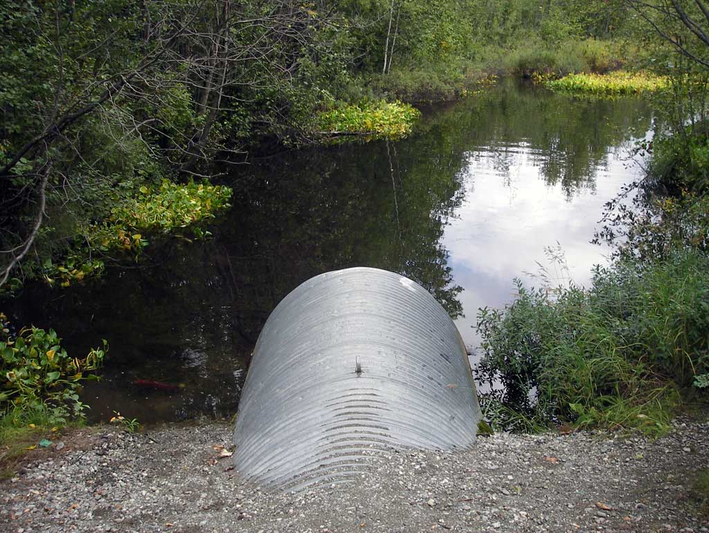
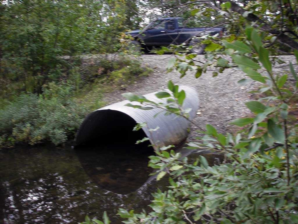
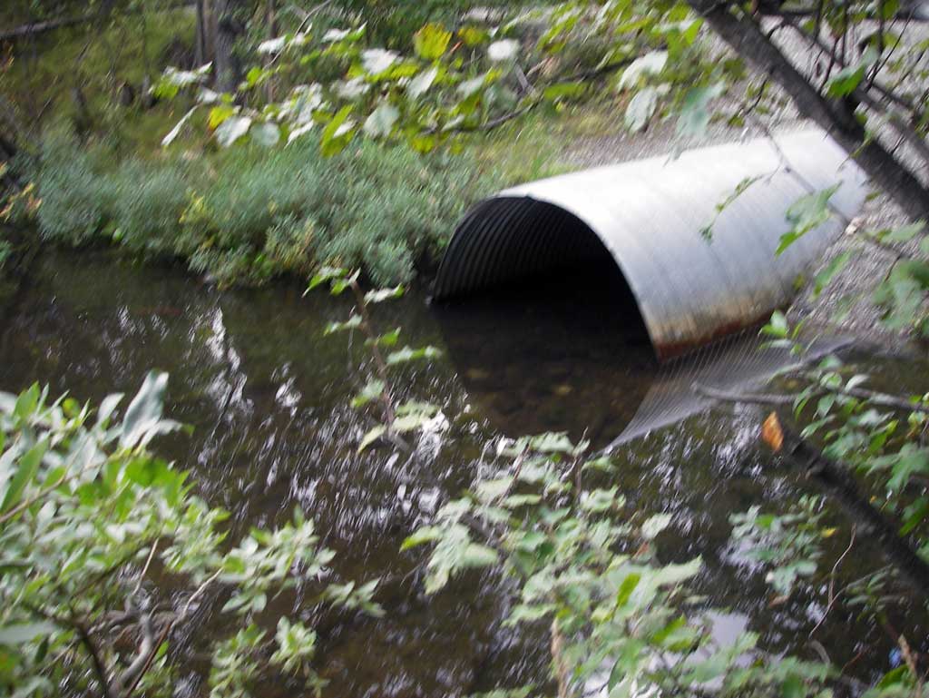
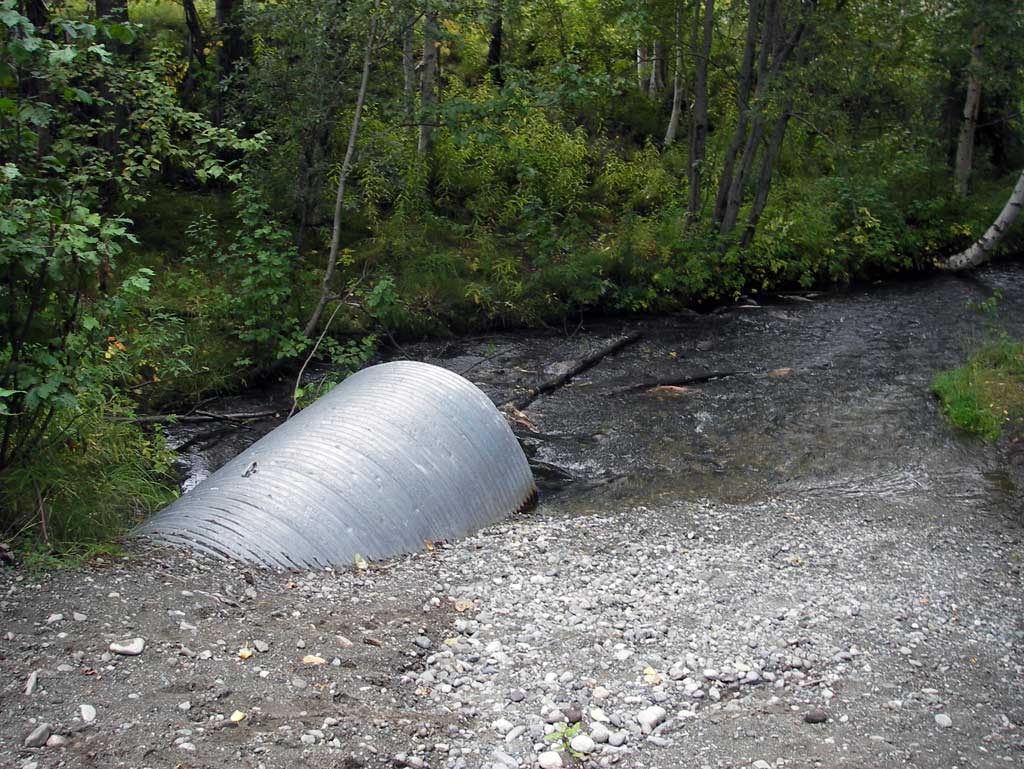
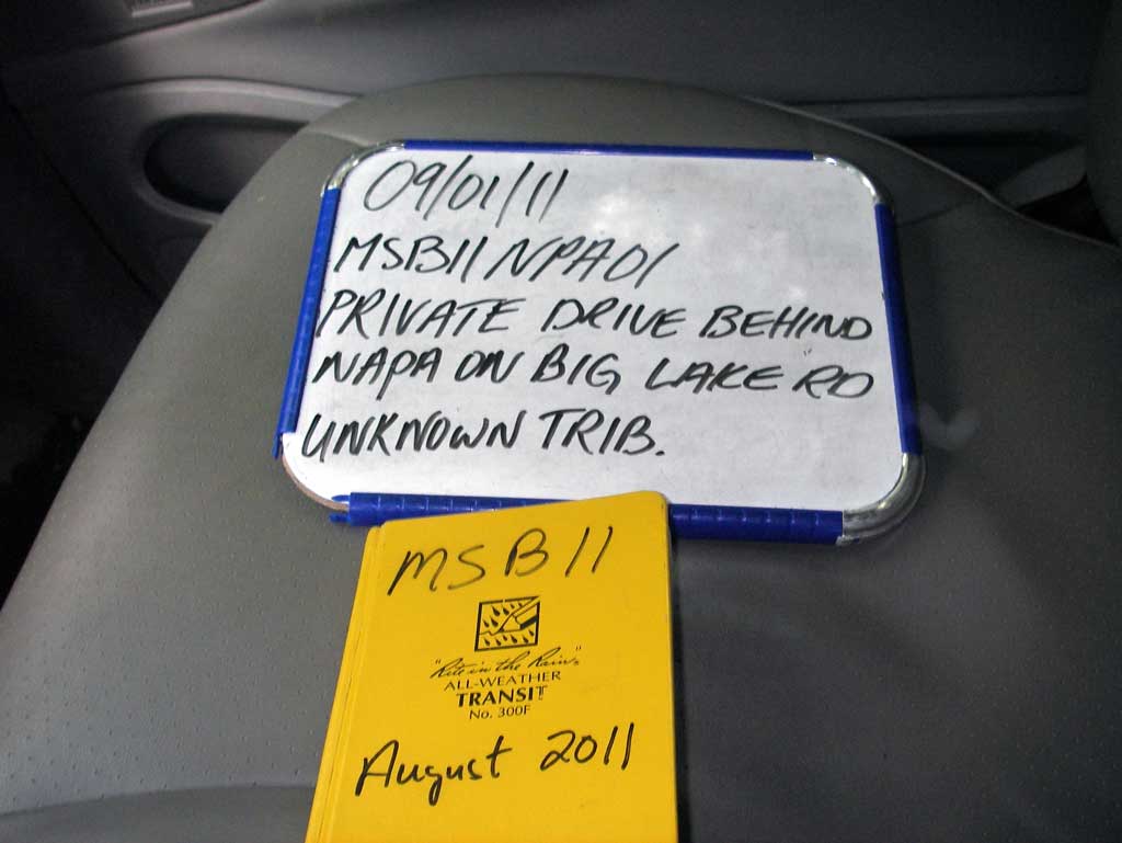
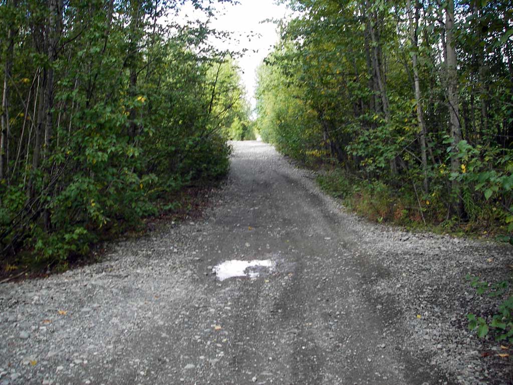
Site Comments: Culvert located on ATV gravel road located on Little Meadow Creek behind NAPA store off S. Big Lake Road. Culvert is on gravel road behind the NAPA store and strip mall complex. Culvert is on gravel road behind the NAPA store and strip mall complex.
arrow to the right of the survey date below to choose a different report for this site.
Survey MSB11-NPA01
Project Supervisor: Gillian O'Doherty, Alaska Department of Fish and Game
— Anchorage, AK
Observers: John Greuey, Abraham Gioffre
Overall Fish Passage Rating:
Tidal: No
Backwatered: No
Step Pools: No
Construction Year:
Site Observations:
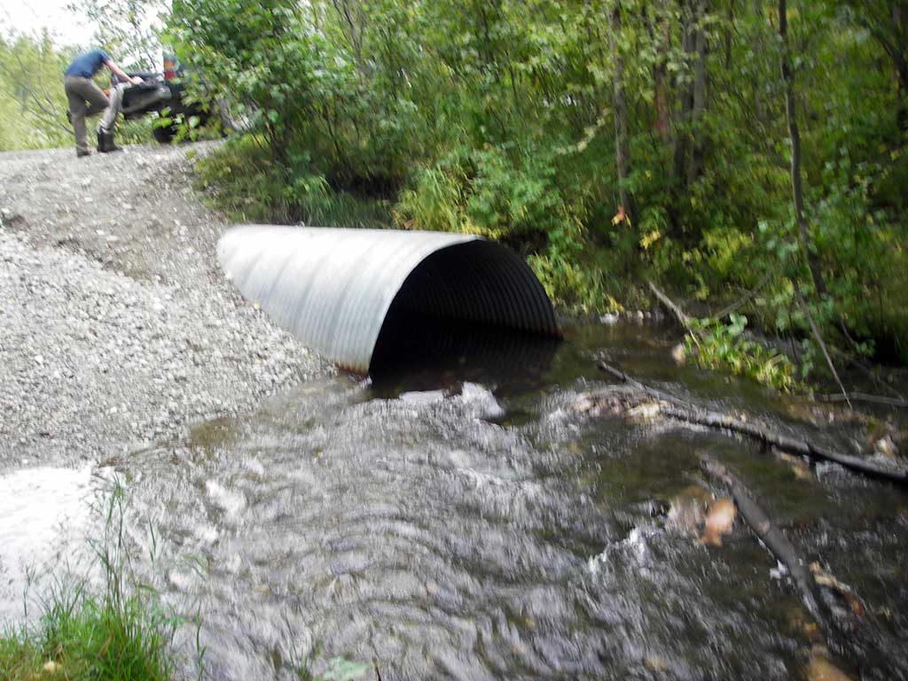
- Constriction ratio red
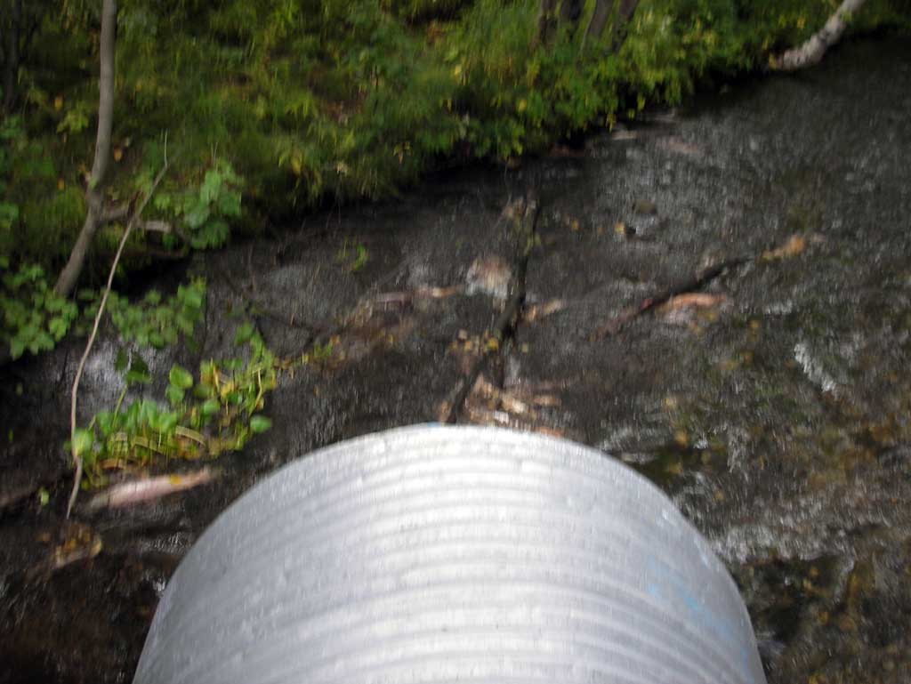
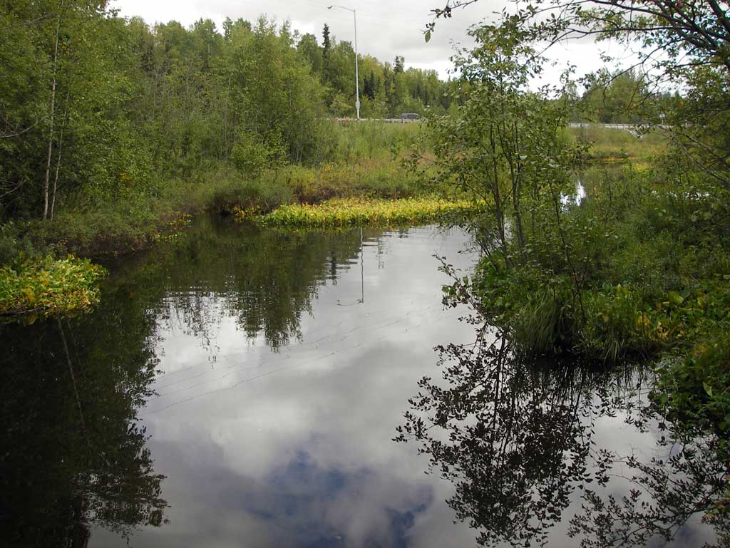
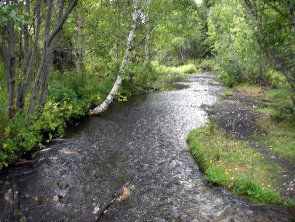
Comments: Culvert located on ATV gravel road located on Little Meadow Creek behind NAPA store off S. Big Lake Road. Culvert is on gravel road behind the NAPA store and strip mall complex. Upst area is a flat wide marsh located just dwst of the Parks Highway. Many spawning and dead Sockeye downstream.
Culvert Measurements
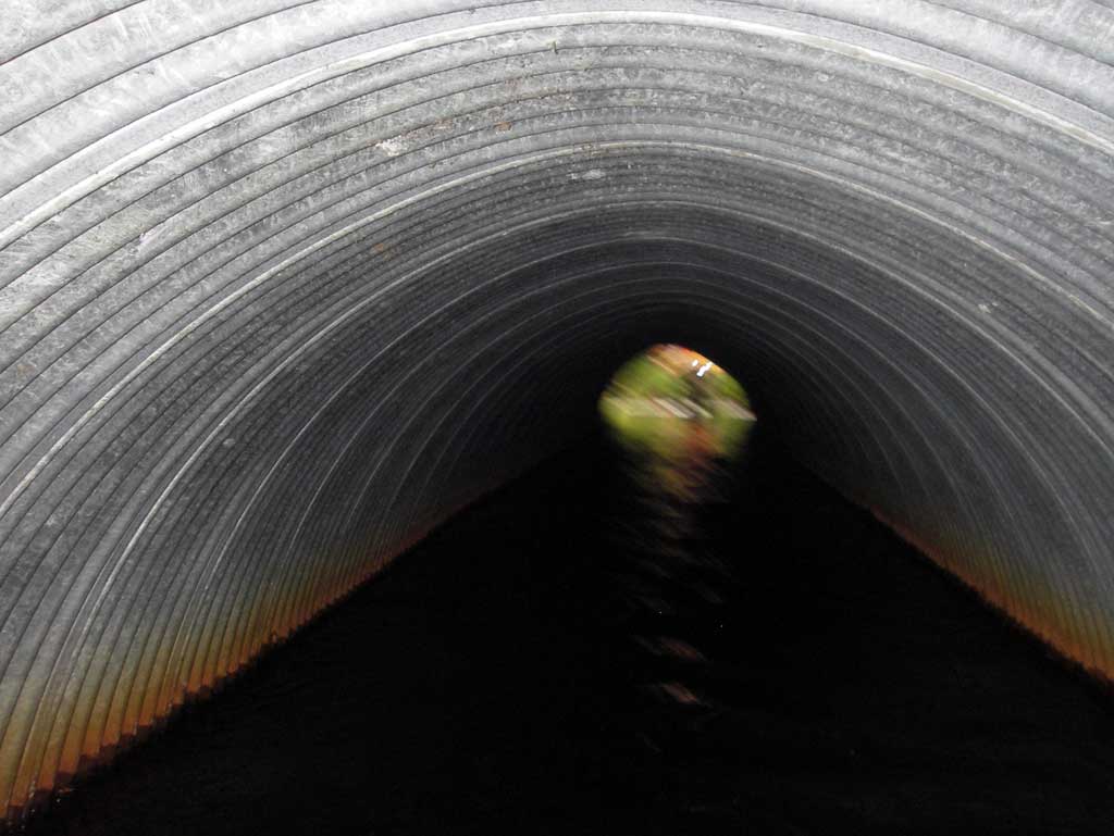
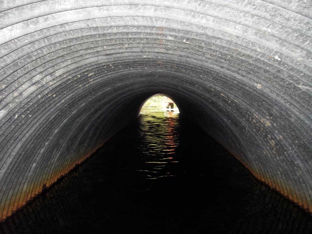
| ID: 1 | Structure Type: Circular pipe (Corrugated steel) | Fish Passage Rating: | |||||||||||||||||||||||||||||||||||||||||
|
|
|
|||||||||||||||||||||||||||||||||||||||||
Culvert Observations:
|
|||||||||||||||||||||||||||||||||||||||||||
Stream Measurements
|
|
| Stream Width Type | Distance From Crossing (ft) |
Stream Width (ft) |
|---|---|---|
| Downstream ordinary high water | 70.0 | 18.00 |
| Downstream ordinary high water | 183.0 | 14.50 |
| Downstream ordinary high water | 252.0 | 23.80 |
Elevations
| Locator ID | Culvert Number |
River Distance (ft)1 |
Distance From Crossing (ft)2 |
Relative Elevation (ft) |
|---|---|---|---|---|
| D/S Water Surface Elev (water surface for stream grad) | 0.00 | 94.87 | ||
| D/S Thalweg (GP at top of riffle) | 57.00 | 94.90 | ||
| D/S Water Surface Elev | 57.00 | 95.20 | ||
| D/S Thalweg (profile pt in mid riffle) | 186.00 | 95.48 | ||
| D/S Water Surface Elev | 186.00 | 95.93 | ||
| D/S Water Surface Elev (water surface for stream grad) | 223.00 | 96.06 | ||
| D/S Grade Ctrl (Thalweg) (GP at beginning of riffle) | 295.00 | 96.20 | ||
| D/S Water Surface Elev | 295.00 | 96.90 | ||
| D/S Water Surface Elev (outlet water surface) | 300.00 | 97.03 | ||
| Outlet Culvert Top | 300.00 | 100.00 | ||
| Outlet Invert (invert on substrate) | 300.00 | 95.97 | ||
| Road Elev | 330.00 | 102.60 | ||
| Inlet Culvert Top | 360.40 | 100.02 | ||
| U/S Water Surface Elev (inlet water surface) | 360.40 | 97.10 | ||
| Inlet Culvert Invert (invert on substrate) | 360.40 | 95.95 | ||
| U/S Water Surface Elev | 390.40 | 97.15 | ||
| U/S Thalweg (profile pt) | 390.40 | 96.09 |
Notes:
- River distance is measured continuously throughout the survey reach along the thalweg of the stream.
- Measured from each end of the crossing along the thalweg of the stream.
Fish Sampling Efforts
| Gear Type: Visual Observation, Ground (A) | ||
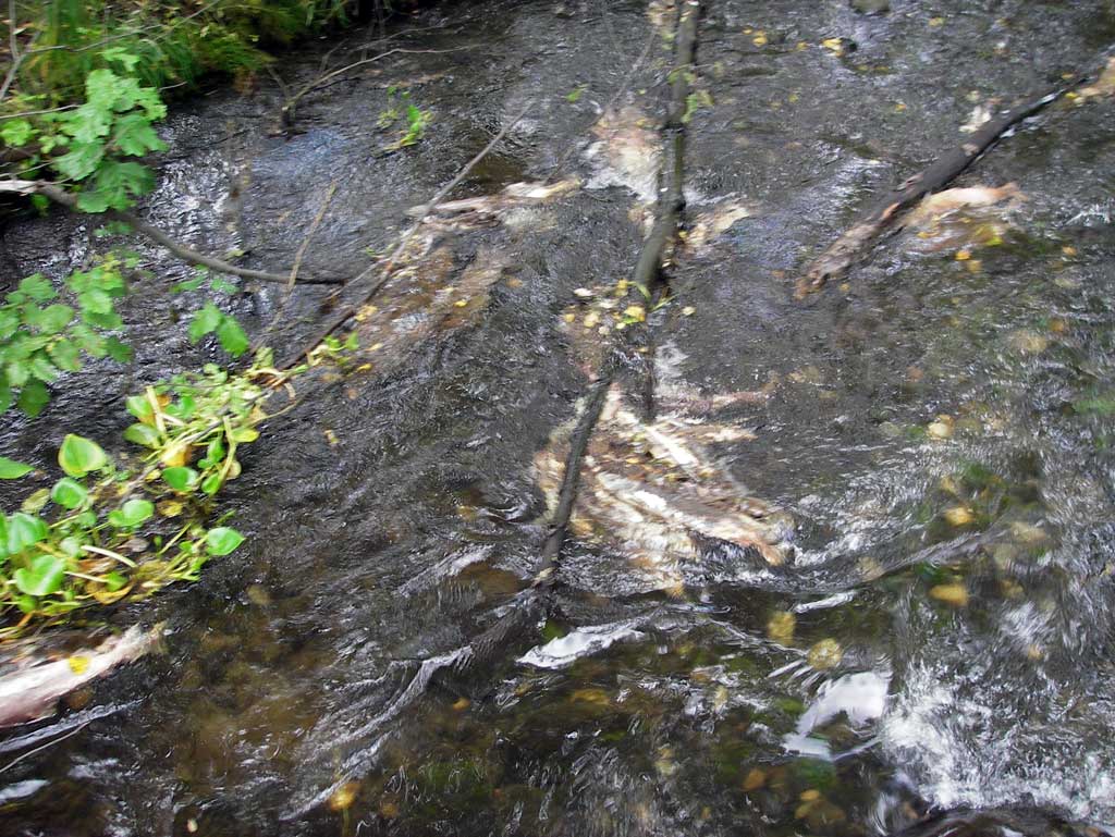
| Comments: Spawning and dead sockeye observed downstream of culvert. | ||
Fish Observations
No fish observations occurred during this survey.
Photos
Questions or comments about this report can be directed to dfg.dsf.webmaster@alaska.gov