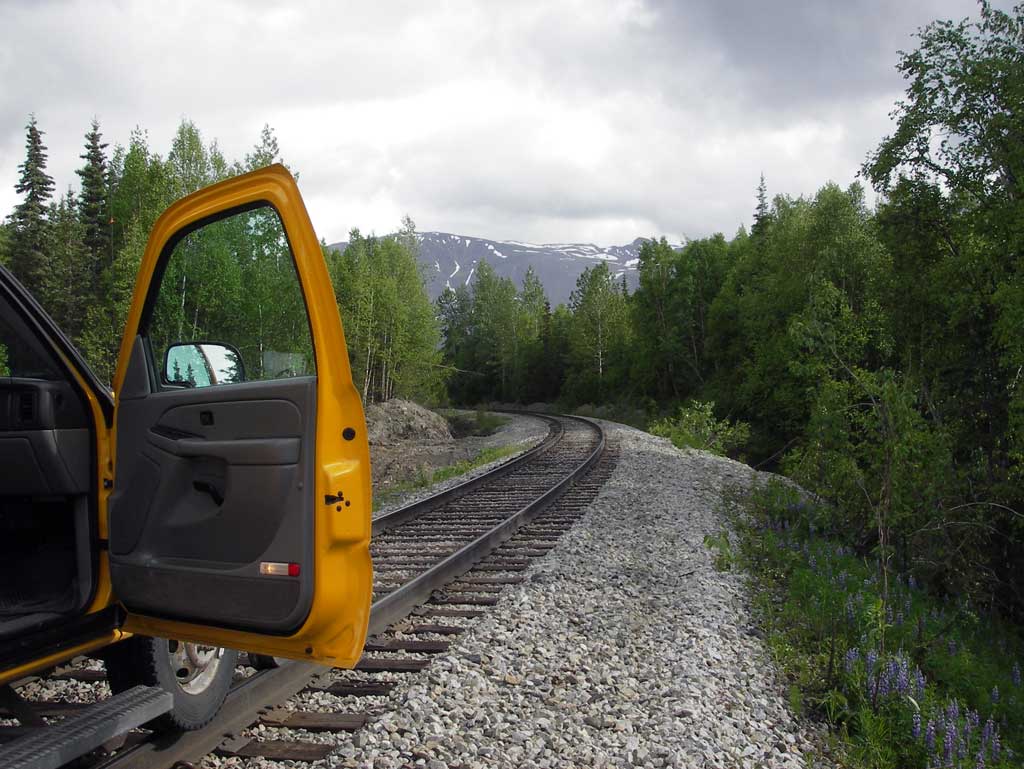
Fish Passage Site 20502106
Coordinates (dec. deg.): 62.93616°, -149.66583°
Legal Description: S033N002W21
Region: South Central
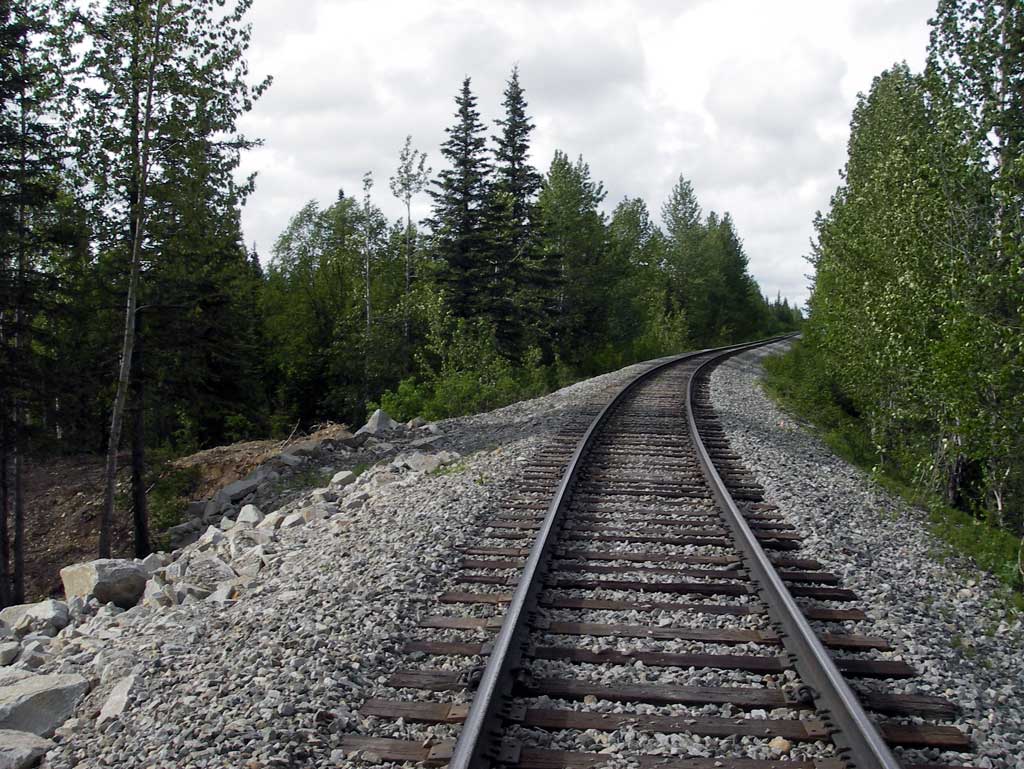
Road Name: Alaska Railroad
Datum: NAD83
Quad Name / ITM: Talkeetna Mts D-6
AWC Stream #:
Stream Name: Chulitna River tributary
Elevation:
Site Comments: RR MP 278.4
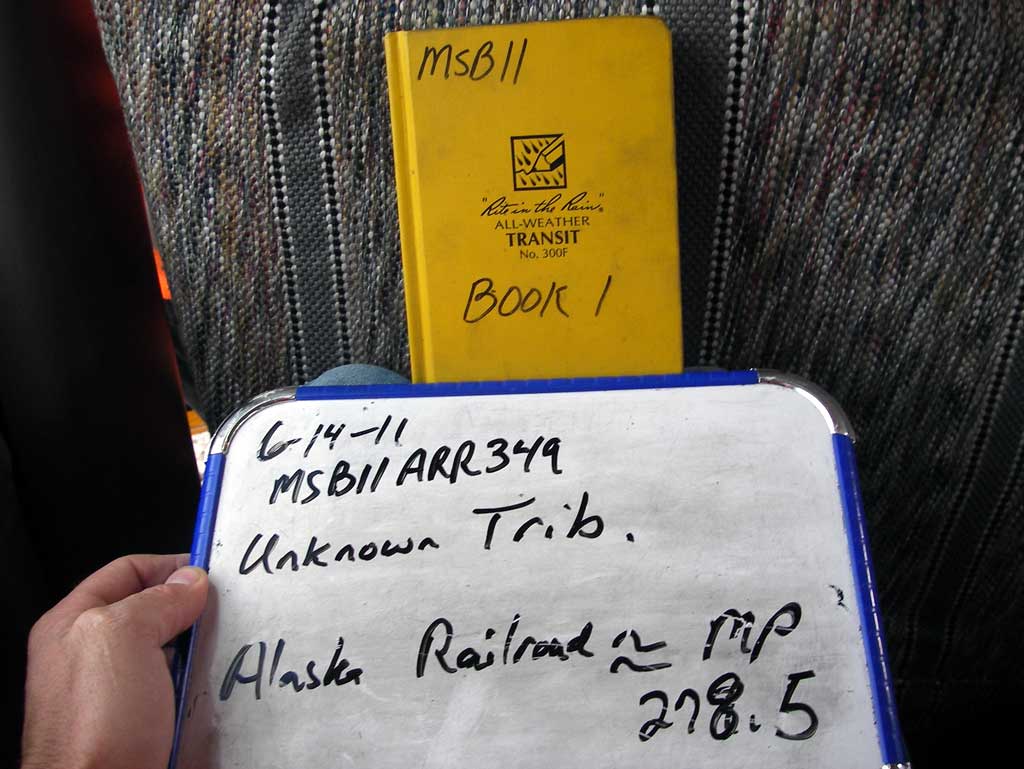
Survey MSB11-ARR349
Project Supervisor: Gillian O'Doherty, Alaska Department of Fish and Game
— Anchorage, AK
Observers: John Greuey, Abraham Gioffre
Overall Fish Passage Rating:
Tidal: No
Backwatered: No
Step Pools: No
Construction Year:
Site Observations:
- Culvert gradient red
- Woody Debris
- Structural Problem
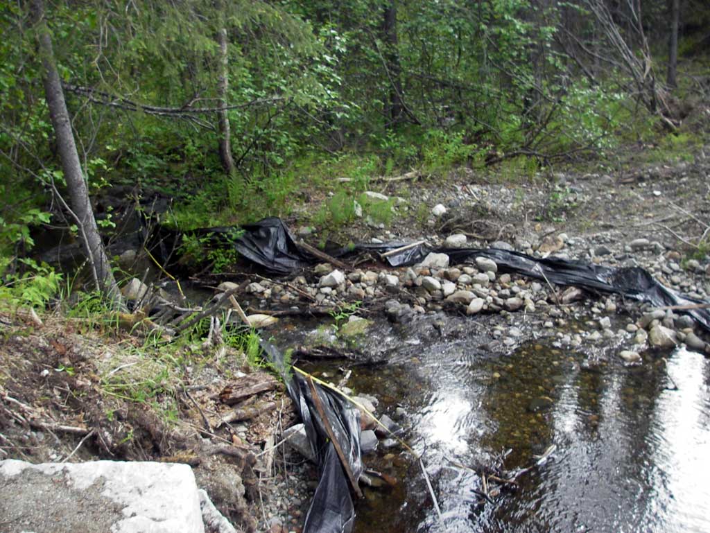
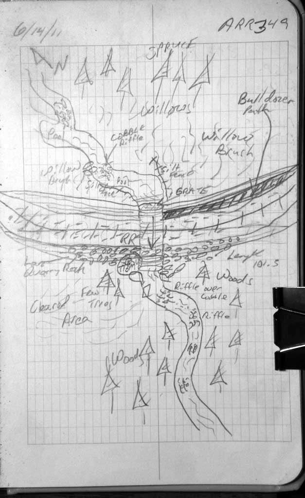
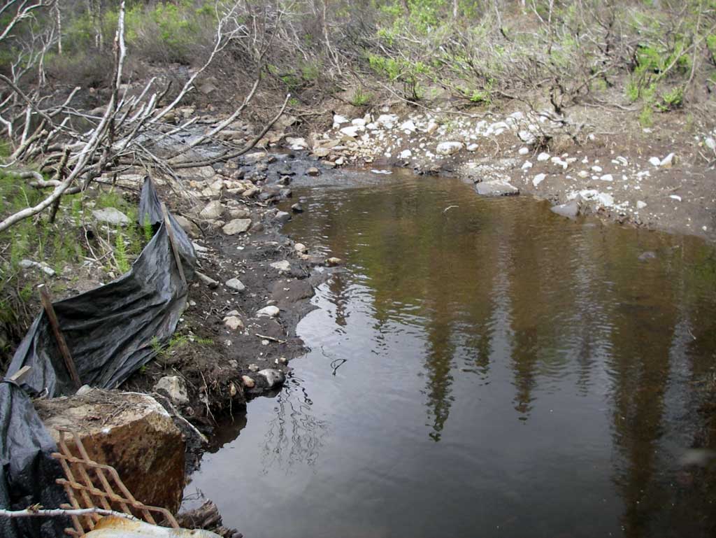
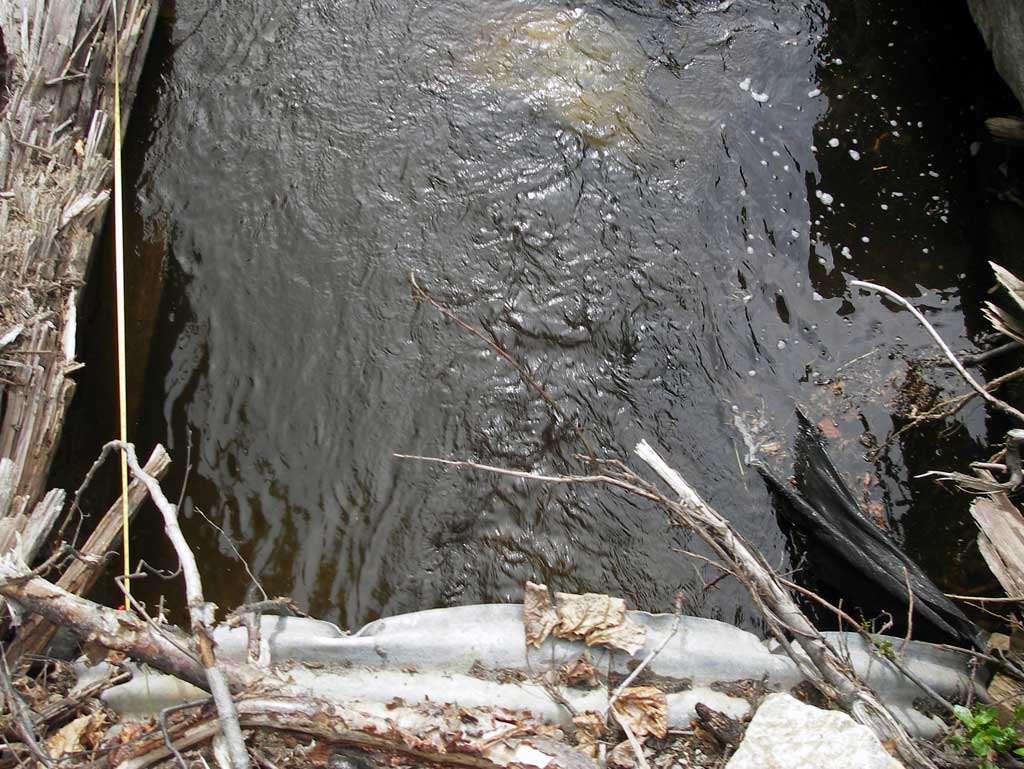
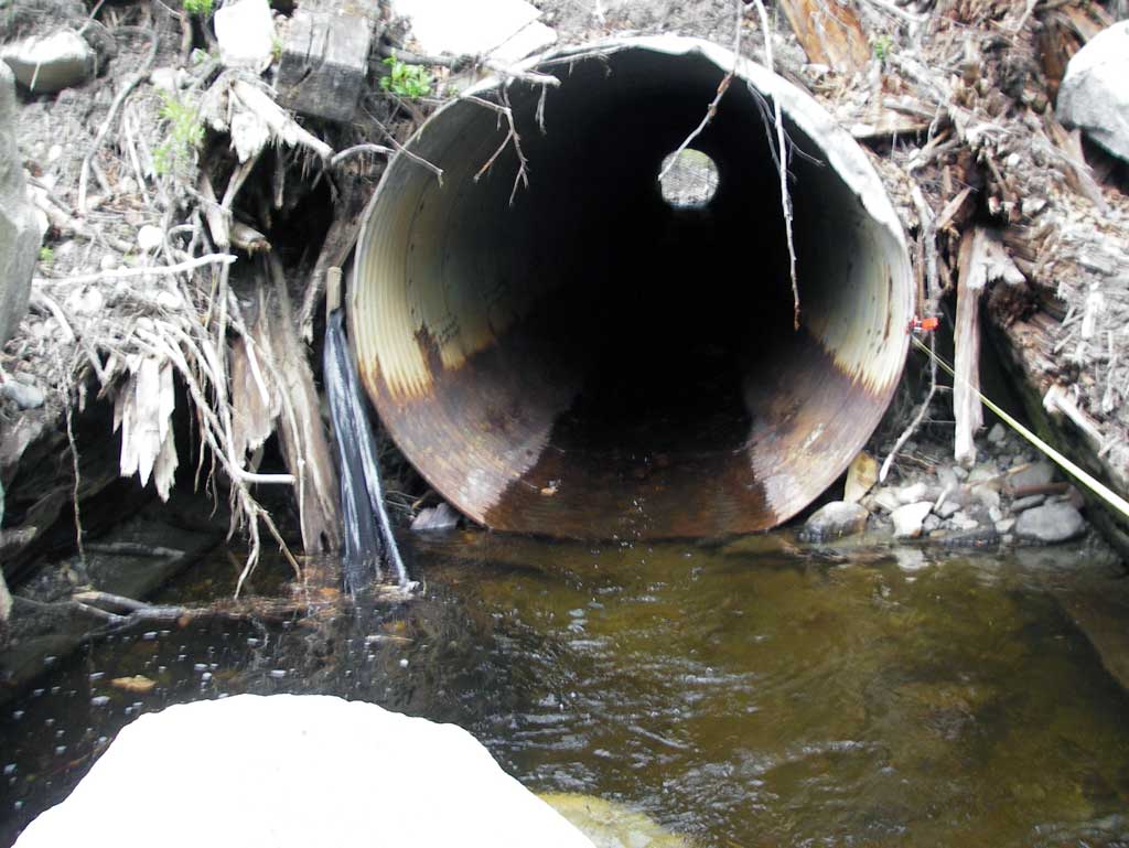
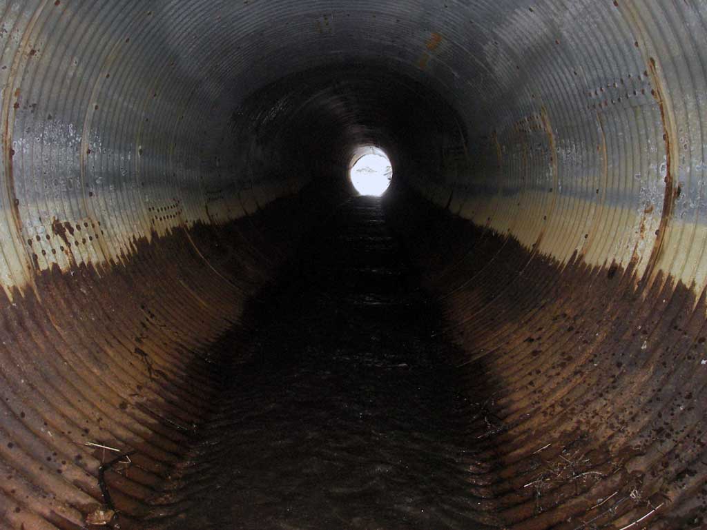
Comments: Site on Alaska RR at MP 278.4. Grate covering inlet. Areas near inlet and outlet contained crushed granite used for RR Fill. Constrcution debris in channel.
Culvert Measurements
| ID: 1 | Structure Type: Circular pipe (Corrugated steel) | Fish Passage Rating: | ||||||||||||||||||||||||||||||||||||||||||
|
|
|
||||||||||||||||||||||||||||||||||||||||||
Culvert Observations:
|
||||||||||||||||||||||||||||||||||||||||||||
Stream Measurements
|
|
| Stream Width Type | Distance From Crossing (ft) |
Stream Width (ft) |
|---|---|---|
| Downstream ordinary high water | 35.0 | 6.20 |
| Downstream ordinary high water | 84.0 | 6.70 |
| Downstream ordinary high water | 110.0 | 6.00 |
Elevations
| Locator ID | Culvert Number |
River Distance (ft)1 |
Distance From Crossing (ft)2 |
Relative Elevation (ft) |
|---|---|---|---|---|
| D/S Grade Ctrl (Thalweg) (Top of riffle) | 0.00 | 87.96 | ||
| D/S Water Surface Elev | 0.00 | 88.19 | ||
| D/S Grade Ctrl (Thalweg) (middle of continuous riffle) | 19.00 | 88.77 | ||
| D/S Water Surface Elev | 19.00 | 88.94 | ||
| D/S Tailcrest or 1st Thalweg (Tail water control) | 46.00 | 90.02 | ||
| D/S Water Surface Elev (Tail water surface) | 46.00 | 90.30 | ||
| Max Pool Depth (Outlet pool depth) | 58.00 | 88.22 | ||
| Outlet Invert | 63.00 | 90.01 | ||
| D/S Water Surface Elev (Water surface at outlet) | 63.00 | 90.33 | ||
| Outlet Culvert Top | 63.00 | 94.94 | ||
| Road Elev (center of railroad tracks) | 113.00 | 123.89 | ||
| Inlet Culvert Top | 164.50 | 99.14 | ||
| Inlet Culvert Invert | 164.50 | 94.27 | ||
| U/S Water Surface Elev (Water surface at inlet) | 164.50 | 94.58 | ||
| U/S Grade Ctrl (Thalweg) (Top of riffle) | 202.50 | 94.71 | ||
| U/S Water Surface Elev | 202.50 | 94.94 |
Notes:
- River distance is measured continuously throughout the survey reach along the thalweg of the stream.
- Measured from each end of the crossing along the thalweg of the stream.
Fish Sampling Efforts
No fish sampling occurred during this survey.
Fish Observations
No fish observations occurred during this survey.
Photos
Questions or comments about this report can be directed to dfg.dsf.webmaster@alaska.gov