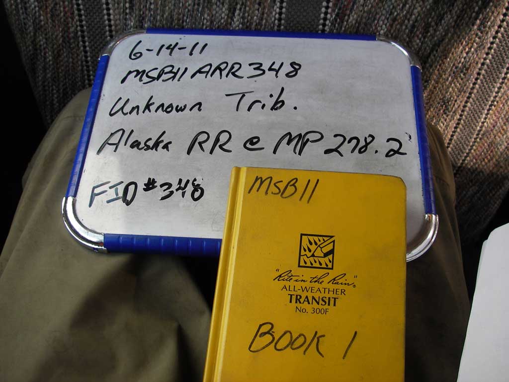
Fish Passage Site 20502105
Coordinates (dec. deg.): 62.93300°, -149.66284°
Legal Description: S033N002W21
Region: South Central
Road Name: Alaska Railroad
Datum: NAD83
Quad Name / ITM: Talkeetna Mts D-6
AWC Stream #:
Stream Name: Chulitna River tributary
Elevation:
Site Comments: Alaska RR at MP 278.2
Survey MSB11-ARR348
Project Supervisor: Gillian O'Doherty, Alaska Department of Fish and Game
— Anchorage, AK
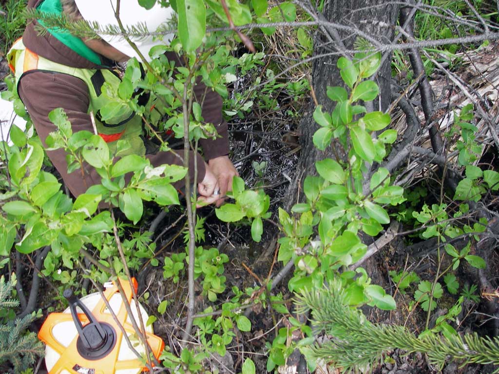
Observers: John Greuey, Abraham Gioffre
Overall Fish Passage Rating:
Tidal: No
Backwatered: No
Step Pools: No
Construction Year:
Site Observations:
- Woody Debris
- Structural Problem
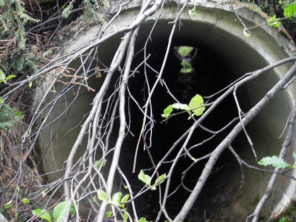
- Culvert sagging in middle
- Sediment accumulation
- Compound gradient in pipe
- Culvert gradient red
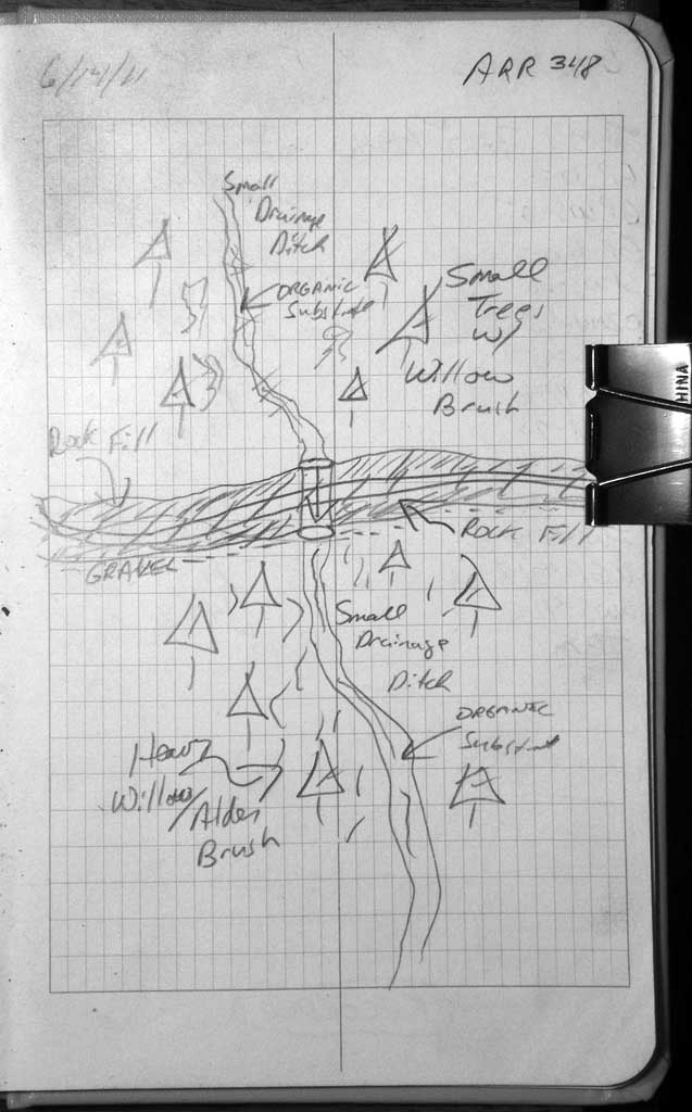
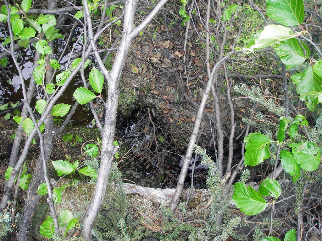
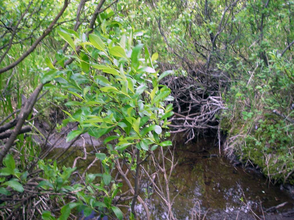
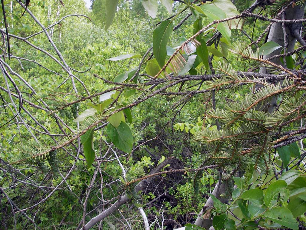
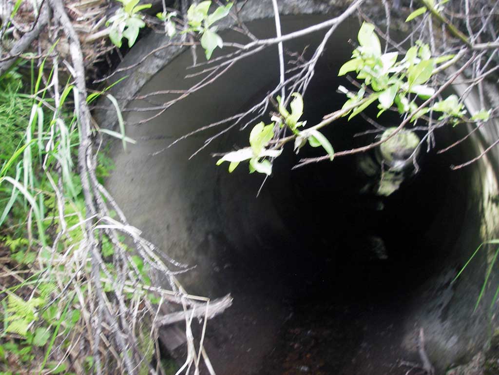
Comments: Alaska RR at MP 278.2. Lots of Woody Debris upst and dwst and approx .5' grade jump just upst of inlet created by woody debris. Outlet is almost at grade and the concrete pipe has several joints misaligned and broken. Stream channel is thickly vegetated with substantial woody debris piles throughout.
Culvert Measurements
| ID: 1 | Structure Type: Circular pipe (Reinforced concrete) | Fish Passage Rating: | ||||||||||||||||||||||||||||||||||||||||||
|
|
|
||||||||||||||||||||||||||||||||||||||||||
Culvert Observations:
|
||||||||||||||||||||||||||||||||||||||||||||
Stream Measurements
|
|
| Stream Width Type | Distance From Crossing (ft) |
Stream Width (ft) |
|---|---|---|
| Downstream ordinary high water | 35.0 | 3.60 |
| Downstream ordinary high water | 70.0 | 4.20 |
| Downstream ordinary high water | 100.0 | 3.00 |
Elevations
| Locator ID | Culvert Number |
River Distance (ft)1 |
Distance From Crossing (ft)2 |
Relative Elevation (ft) |
|---|---|---|---|---|
| D/S Grade Ctrl (Thalweg) (Grade point where wooden debris creates a pool) | 0.00 | 82.03 | ||
| D/S Water Surface Elev | 0.00 | 82.24 | ||
| D/S Grade Ctrl (Thalweg) (Hydraulic jump created by wooden debris) | 40.00 | 86.05 | ||
| Outlet Invert | 40.00 | 86.08 | ||
| D/S Water Surface Elev (Water surface at outlet) | 40.00 | 86.14 | ||
| D/S Water Surface Elev | 40.00 | 86.18 | ||
| Outlet Culvert Top | 40.00 | 90.23 | ||
| Road Elev (Center of railroad tracks) | 70.00 | 100.07 | ||
| Inlet Culvert Top | 98.48 | 92.16 | ||
| Inlet Culvert Invert | 98.48 | 87.73 | ||
| U/S Water Surface Elev (Water surface at inlet. Extremely shallow, not measurable with rod readings.) | 98.48 | 87.73 | ||
| U/S Grade Ctrl (Thalweg) (Grade jump above inlet) | 99.48 | 88.43 | ||
| U/S Water Surface Elev | 99.48 | 88.47 |
Notes:
- River distance is measured continuously throughout the survey reach along the thalweg of the stream.
- Measured from each end of the crossing along the thalweg of the stream.
Fish Sampling Efforts
No fish sampling occurred during this survey.
Fish Observations
No fish observations occurred during this survey.
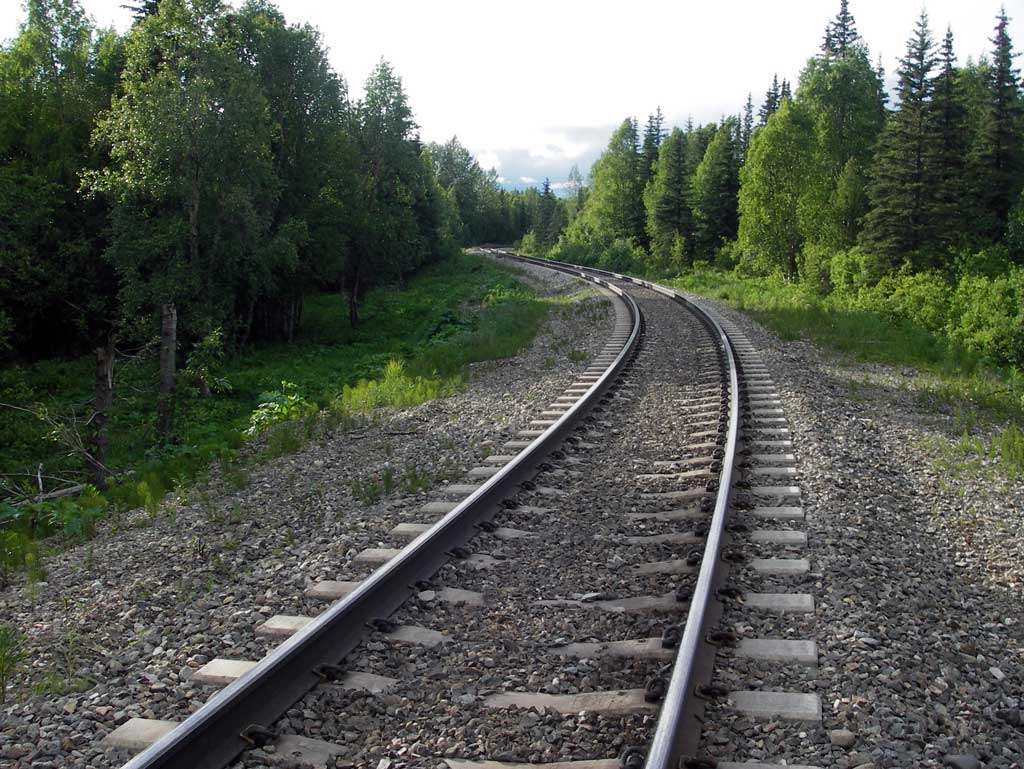
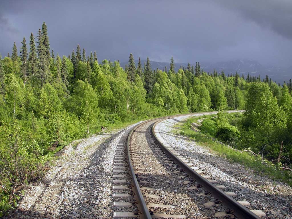
Photos
Questions or comments about this report can be directed to dfg.dsf.webmaster@alaska.gov