Fish Passage Site 20502098
Coordinates (dec. deg.): 62.92512°, -149.65540°
Legal Description: S033N002W28
Region: South Central
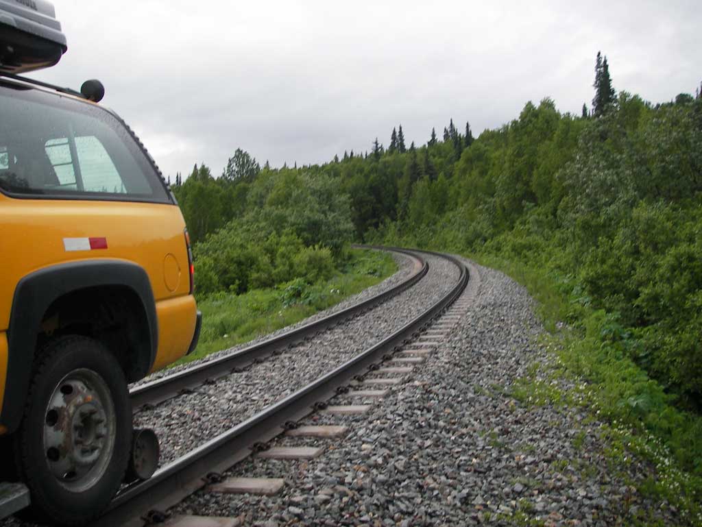
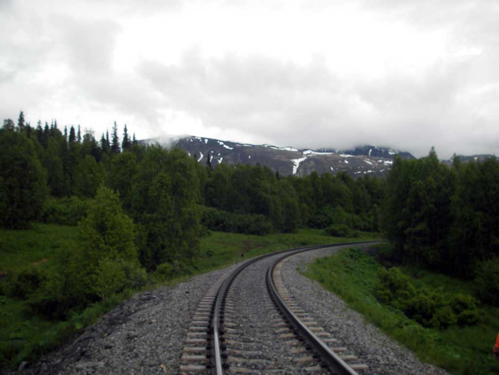
Road Name: Alaska Railroad
Datum: NAD83
Quad Name / ITM: Talkeetna Mts D-6
AWC Stream #:
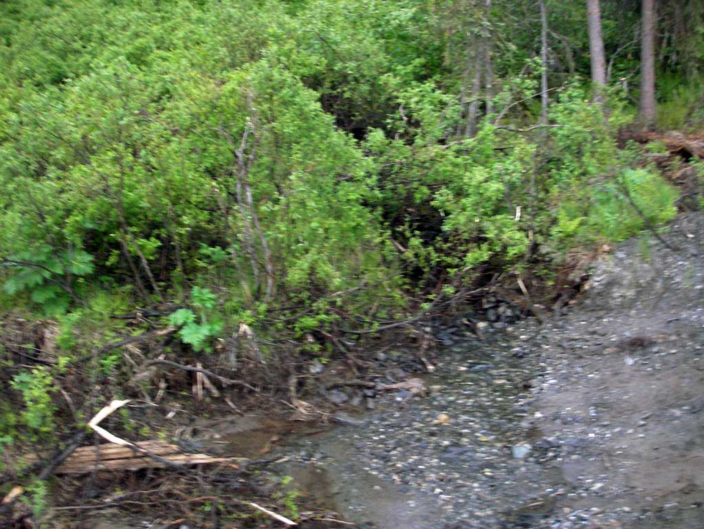
Stream Name: Chulitna River tributary
Elevation:
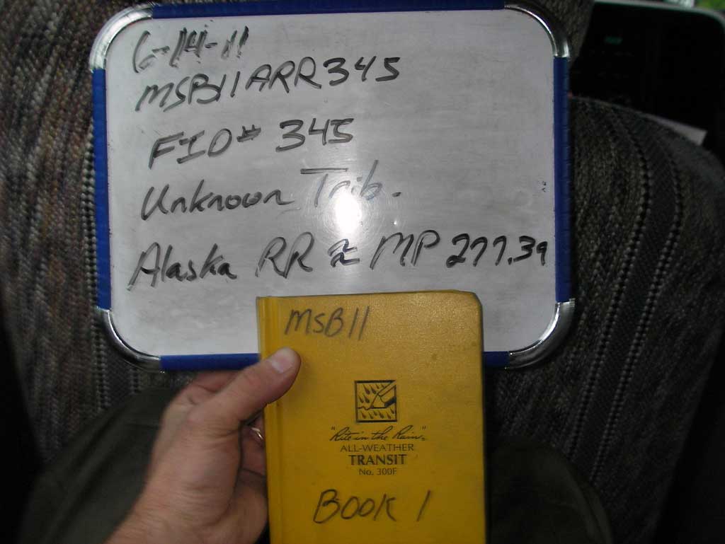
Site Comments: Alaska RR site at MP 277.39.
Survey MSB11-ARR345
Project Supervisor: Gillian O'Doherty, Alaska Department of Fish and Game
— Anchorage, AK
Observers: John Greuey, Abraham Gioffre
Overall Fish Passage Rating:
Tidal: No
Backwatered: No
Step Pools: No
Construction Year:
Site Observations:
- Culvert gradient red
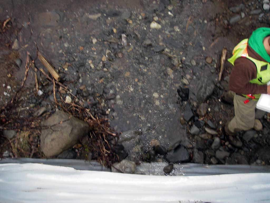
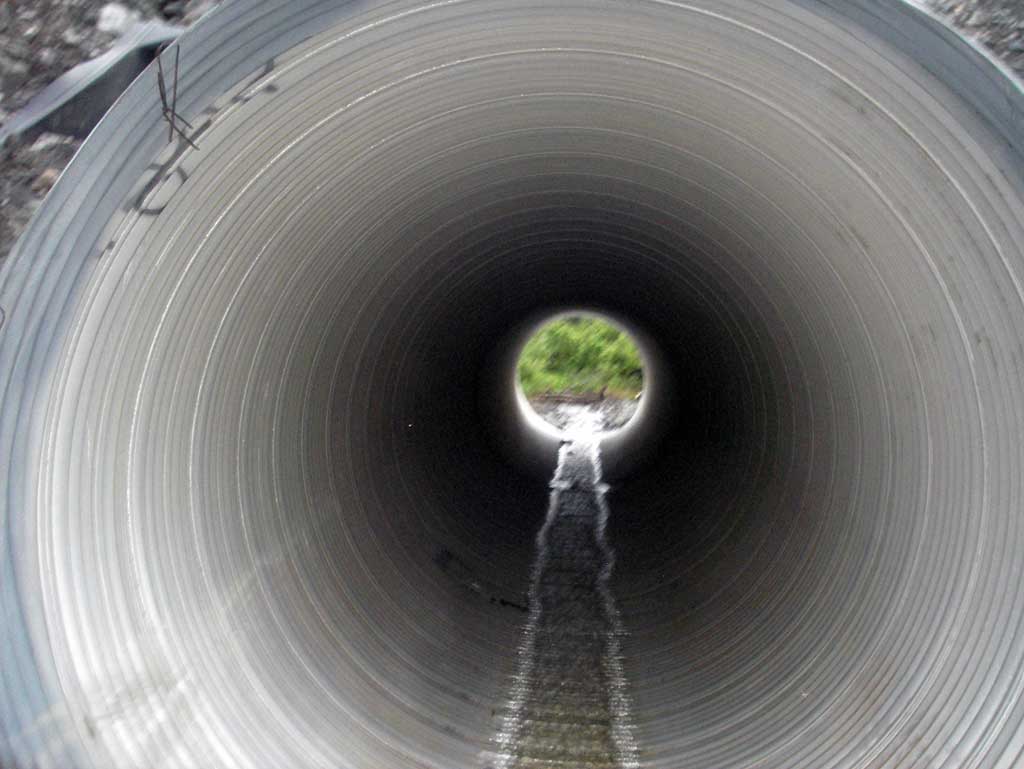
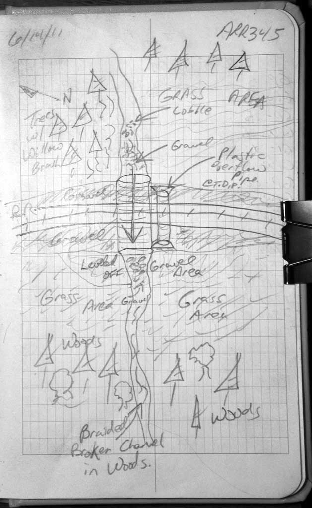
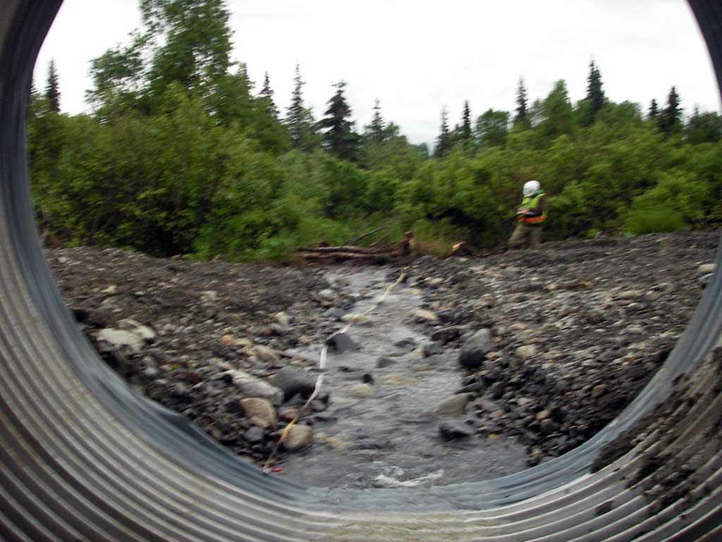
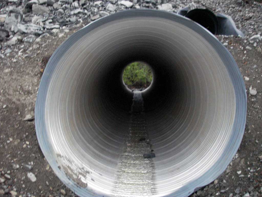
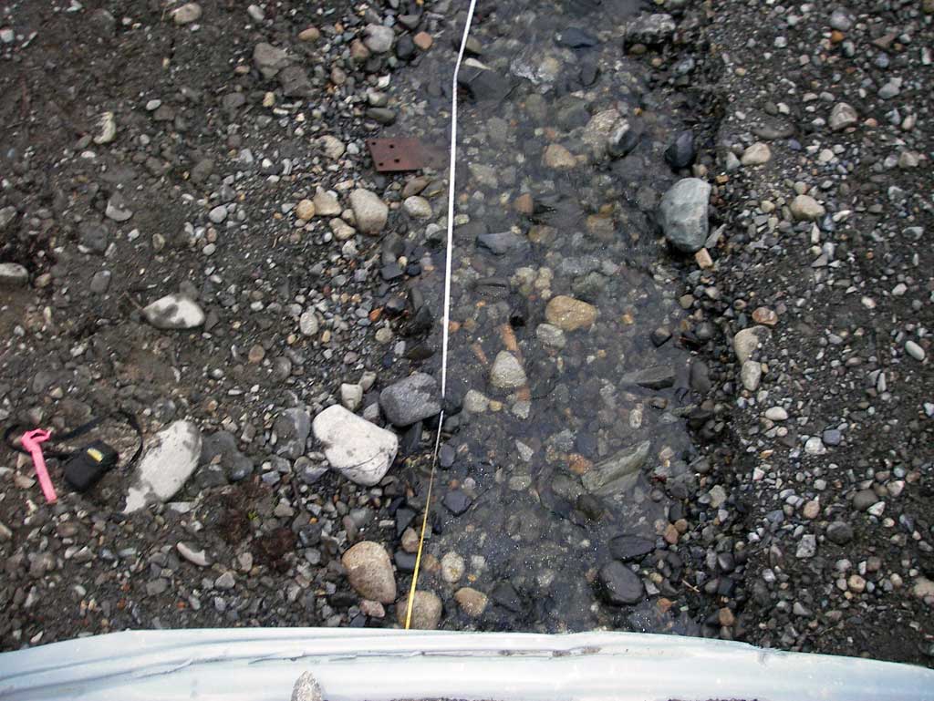
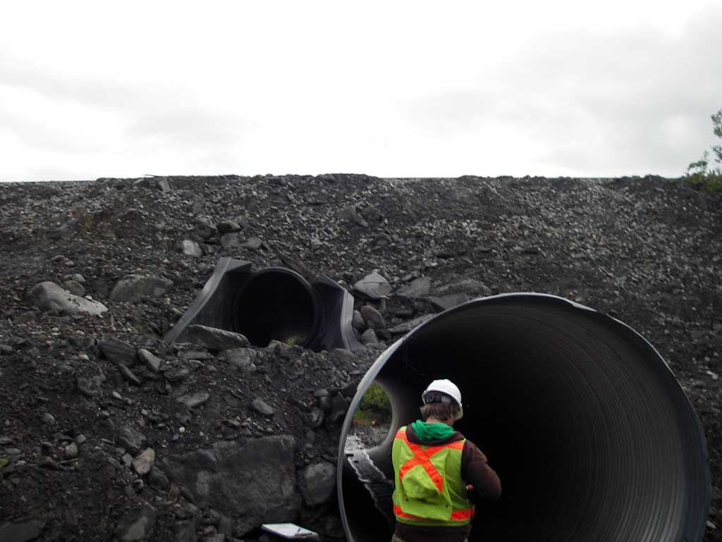
Comments: Alaska RR site at MP 277.39. Almost at grade w/ small outfall height. Upst and Dwst area consists of braided flow through thick vegetated lowland area with no defined channel. Other than gradient of pipe all other features would appear to make culvert green.
Culvert Measurements
| ID: 1 | Structure Type: Circular pipe (Corrugated steel) | Fish Passage Rating: | ||||||||||||||||||||||||||||||||||||||||||
|
|
|
||||||||||||||||||||||||||||||||||||||||||
Culvert Observations:
|
||||||||||||||||||||||||||||||||||||||||||||
Stream Measurements
|
|
| Stream Width Type | Distance From Crossing (ft) |
Stream Width (ft) |
|---|---|---|
| Downstream ordinary high water | 0.0 | 3.60 |
| Downstream ordinary high water | 24.0 | 3.30 |
| Downstream ordinary high water | 45.0 | 4.00 |
Elevations
| Locator ID | Culvert Number |
River Distance (ft)1 |
Distance From Crossing (ft)2 |
Relative Elevation (ft) |
|---|---|---|---|---|
| D/S Grade Ctrl (Thalweg) (Middle of riffle near wooden debris) | 0.00 | 86.73 | ||
| D/S Water Surface Elev | 0.00 | 87.09 | ||
| D/S Grade Ctrl (Thalweg) (Top of riffle) | 25.00 | 87.98 | ||
| D/S Water Surface Elev | 25.00 | 88.29 | ||
| D/S Grade Ctrl (Thalweg) (Middle of riffle) | 56.00 | 90.55 | ||
| D/S Water Surface Elev | 56.00 | 90.77 | ||
| D/S Grade Ctrl (Thalweg) (very close to pipe) | 80.00 | 91.74 | ||
| D/S Water Surface Elev | 80.00 | 91.96 | ||
| Outlet Invert | 80.00 | 91.98 | ||
| D/S Water Surface Elev (Water surface at outlet) | 80.00 | 91.99 | ||
| Outlet Culvert Top | 80.00 | 109.79 | ||
| Inlet Culvert Top | 150.83 | 104.85 | ||
| Inlet Culvert Invert | 150.83 | 96.79 | ||
| U/S Water Surface Elev (Water surface at inlet) | 150.83 | 96.90 | ||
| U/S Water Surface Elev | 175.83 | 98.00 | ||
| U/S Grade Ctrl (Thalweg) (Top of riffle near wooden debris) | 175.84 | 97.81 |
Notes:
- River distance is measured continuously throughout the survey reach along the thalweg of the stream.
- Measured from each end of the crossing along the thalweg of the stream.
Fish Sampling Efforts
No fish sampling occurred during this survey.
Fish Observations
No fish observations occurred during this survey.
Photos
Questions or comments about this report can be directed to dfg.dsf.webmaster@alaska.gov