Fish Passage Site 20502093
Coordinates (dec. deg.): 62.96744°, -149.64742°
Legal Description: F022S011W34
Region: South Central
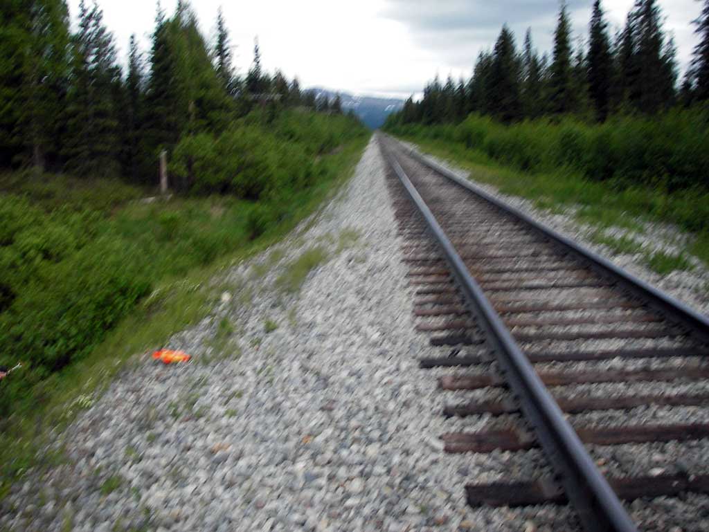
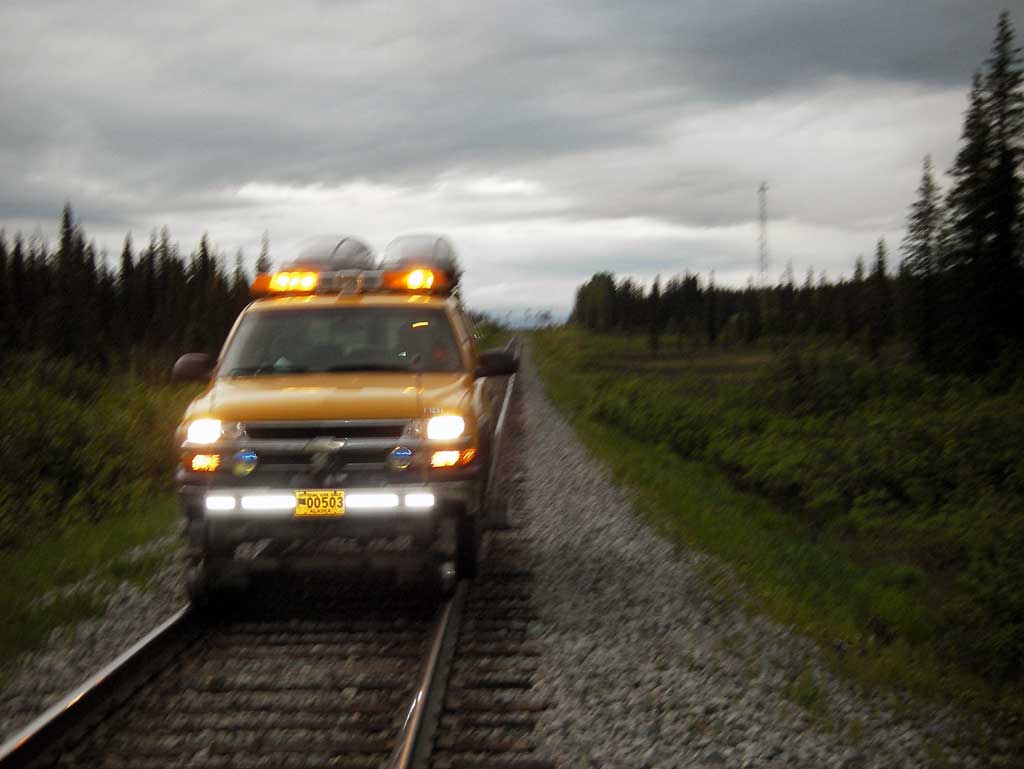
Road Name: Alaska Railroad
Datum: NAD83
Quad Name / ITM: Talkeetna Mts D-6
AWC Stream #:
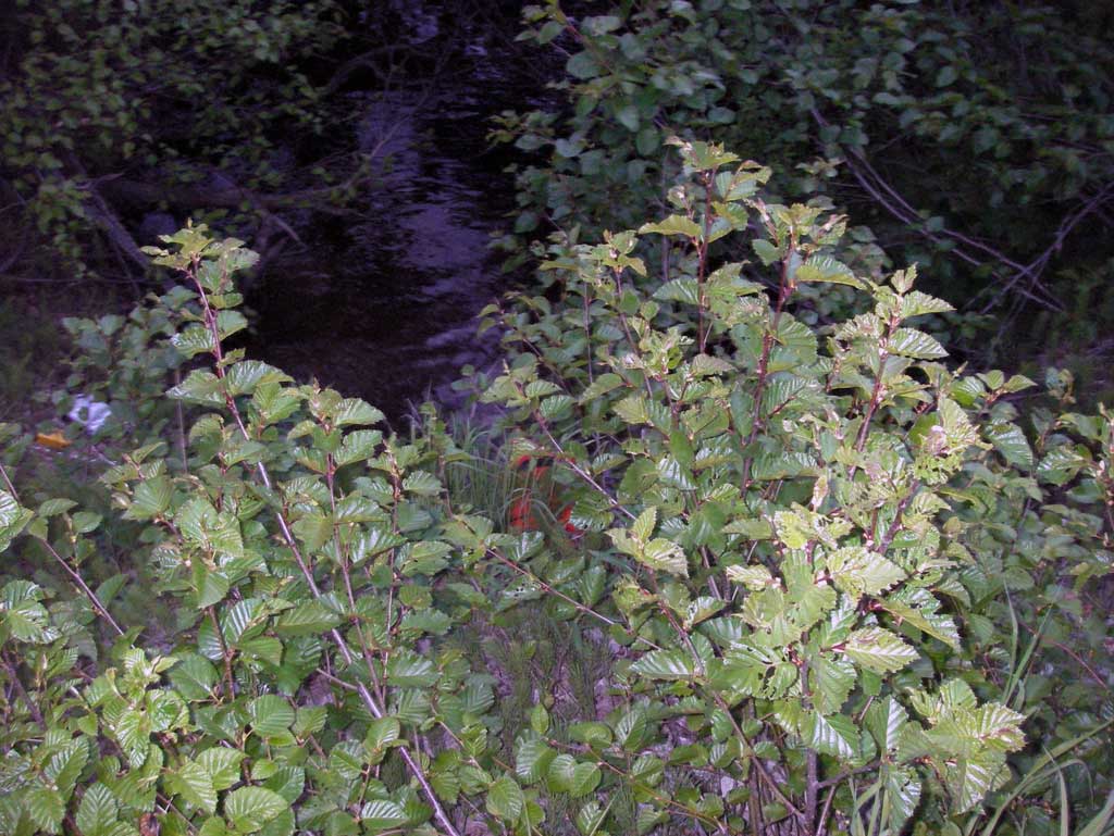
Stream Name: Susitna River tributary
Elevation:
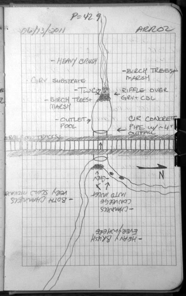
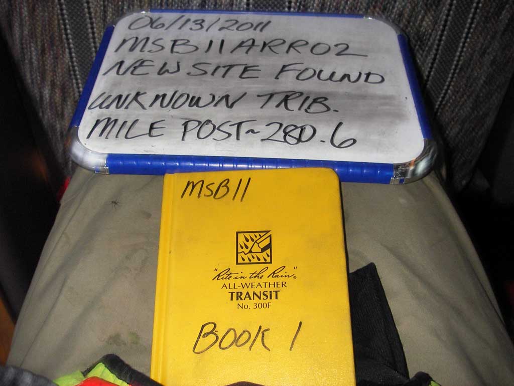
Site Comments: Alaska RR MP 280.69
Survey MSB11-ARR02
Project Supervisor: Gillian O'Doherty, Alaska Department of Fish and Game
— Anchorage, AK
Observers: John Greuey, Abraham Gioffre
Overall Fish Passage Rating:
Tidal: No
Backwatered: No
Step Pools: No
Construction Year:
Site Observations:
- Constriction ratio gray
- Mechanical damage or joints parting
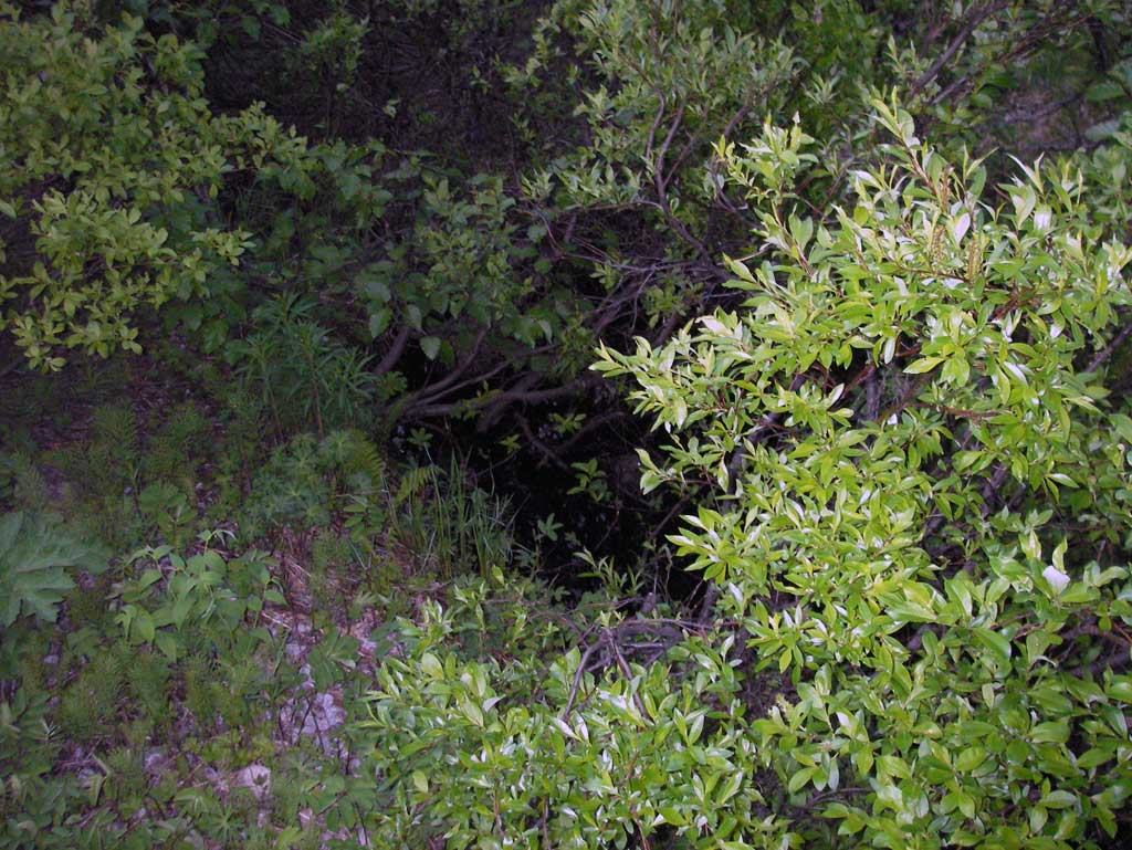
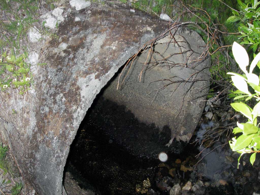
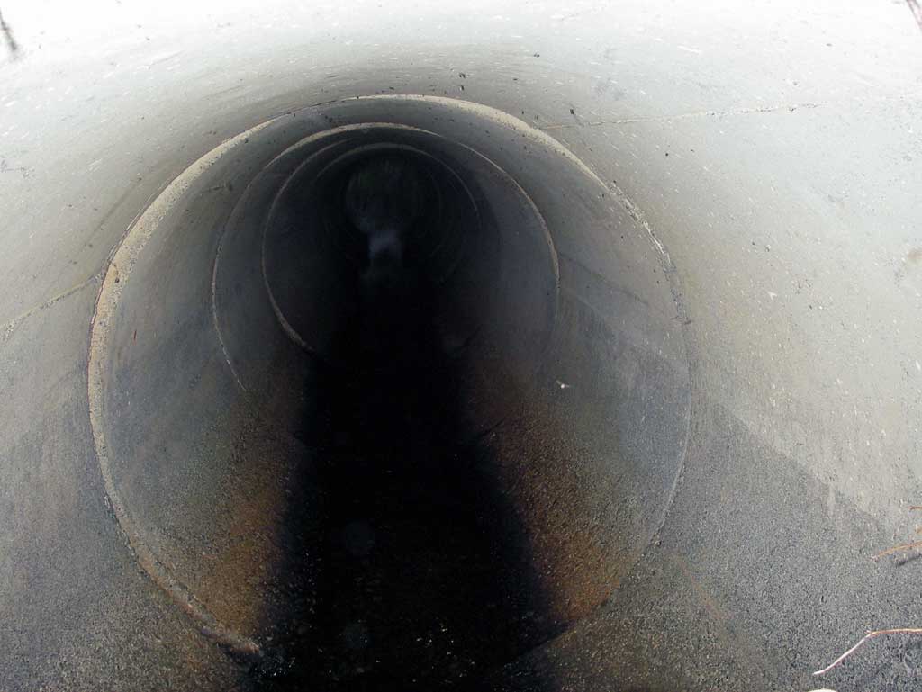
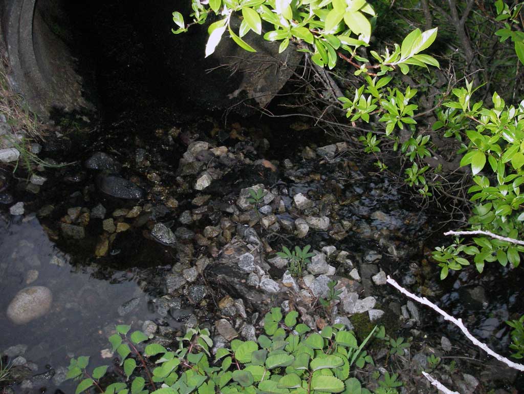
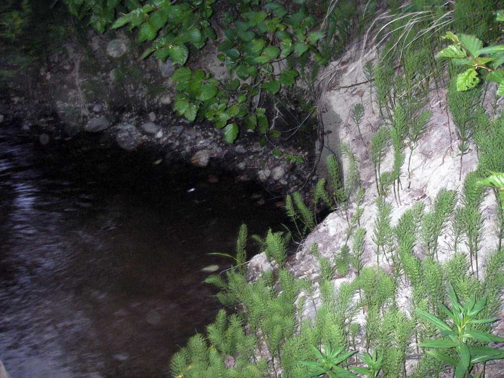
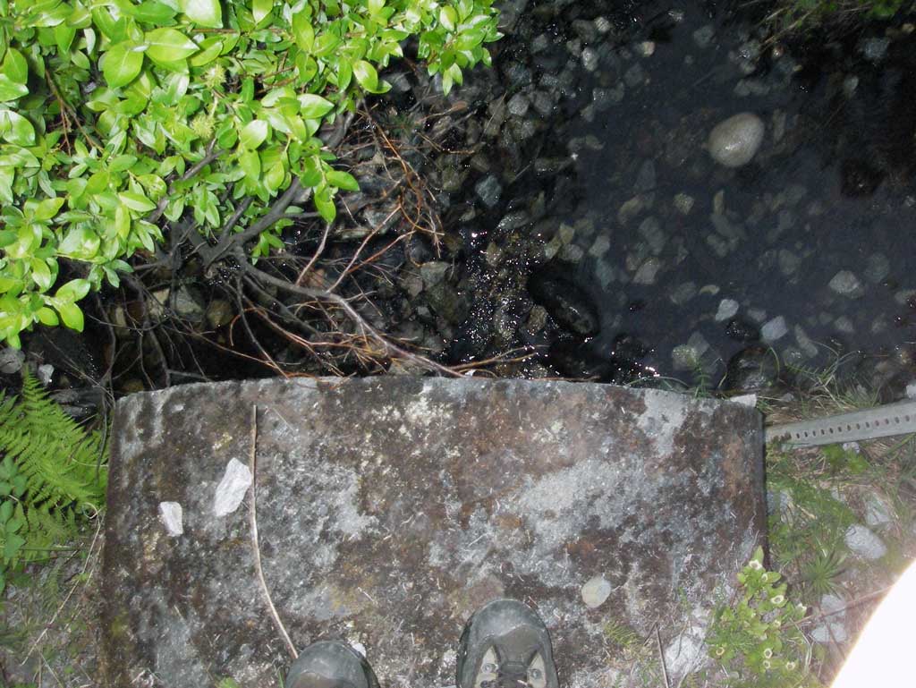
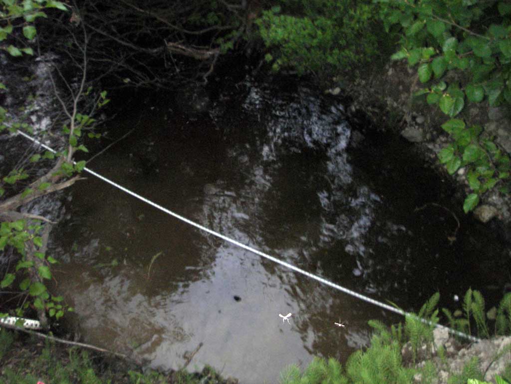
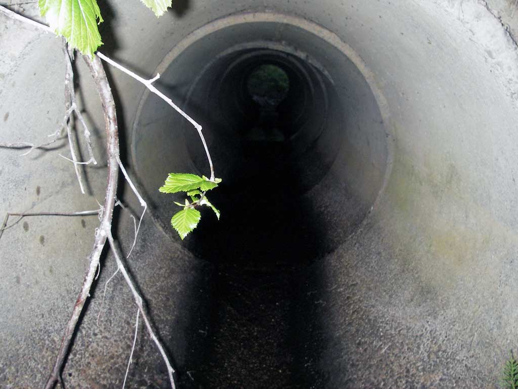
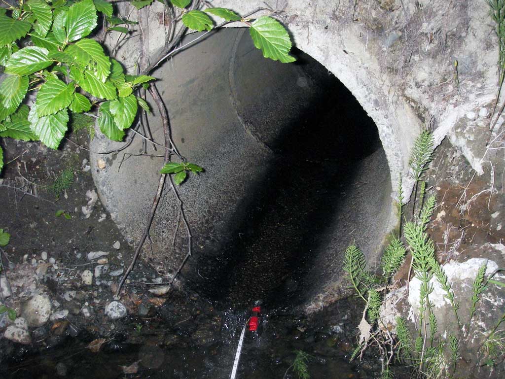
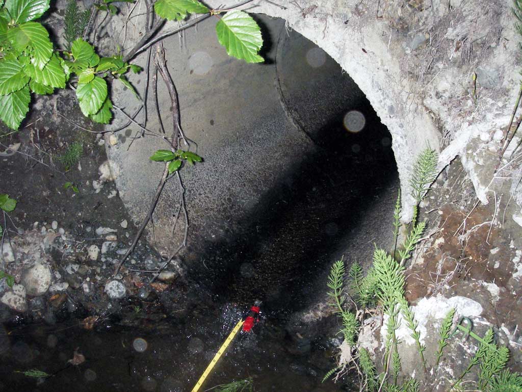
Comments: Alaska RR MP 280.69 New site. Culvert had misaligned joints and some concrete corrosion. Inlet and outlet areas contained crushed granite rock.
Culvert Measurements
| ID: 1 | Structure Type: Circular pipe (Reinforced concrete) | Fish Passage Rating: | ||||||||||||||||||||||||||||||||||||||||||
|
|
|
||||||||||||||||||||||||||||||||||||||||||
Culvert Observations:
|
||||||||||||||||||||||||||||||||||||||||||||
Stream Measurements
|
|
| Stream Width Type | Distance From Crossing (ft) |
Stream Width (ft) |
|---|---|---|
| Downstream ordinary high water | 26.0 | 6.00 |
| Downstream ordinary high water | 29.0 | 4.70 |
| Downstream ordinary high water | 40.0 | 5.50 |
Elevations
| Locator ID | Culvert Number |
River Distance (ft)1 |
Distance From Crossing (ft)2 |
Relative Elevation (ft) |
|---|---|---|---|---|
| D/S Grade Ctrl (Thalweg) (Below riffle) | 0.00 | 87.06 | ||
| D/S Water Surface Elev | 0.00 | 87.36 | ||
| D/S Tailcrest or 1st Thalweg (Tail water control) | 18.00 | 88.19 | ||
| D/S Water Surface Elev (Tail water surface) | 18.00 | 88.35 | ||
| Outlet Pool Water Elev | 40.00 | 88.37 | ||
| Outlet Invert (On pipe) | 40.00 | 88.59 | ||
| D/S Water Surface Elev (Water surface at outlet) | 40.00 | 88.64 | ||
| Max Pool Depth (Outlet pool substrate) | 40.00 | 88.10 | ||
| Outlet Culvert Top | 40.00 | 91.99 | ||
| Road Elev (Center of railroad tracks.) | 61.00 | 99.44 | ||
| Inlet Culvert Top | 82.90 | 92.92 | ||
| Inlet Culvert Invert (On pipe) | 82.90 | 89.63 | ||
| U/S Water Surface Elev (Water surface at inlet) | 82.90 | 89.70 | ||
| U/S Grade Ctrl (Thalweg) | 97.90 | 89.91 | ||
| U/S Water Surface Elev | 97.90 | 90.21 |
Notes:
- River distance is measured continuously throughout the survey reach along the thalweg of the stream.
- Measured from each end of the crossing along the thalweg of the stream.
Fish Sampling Efforts
No fish sampling occurred during this survey.
Fish Observations
No fish observations occurred during this survey.
Photos
Questions or comments about this report can be directed to dfg.dsf.webmaster@alaska.gov