Fish Passage Site 20502088
Coordinates (dec. deg.): 62.83105°, -149.63705°
Legal Description: S032N002W27
Region: South Central
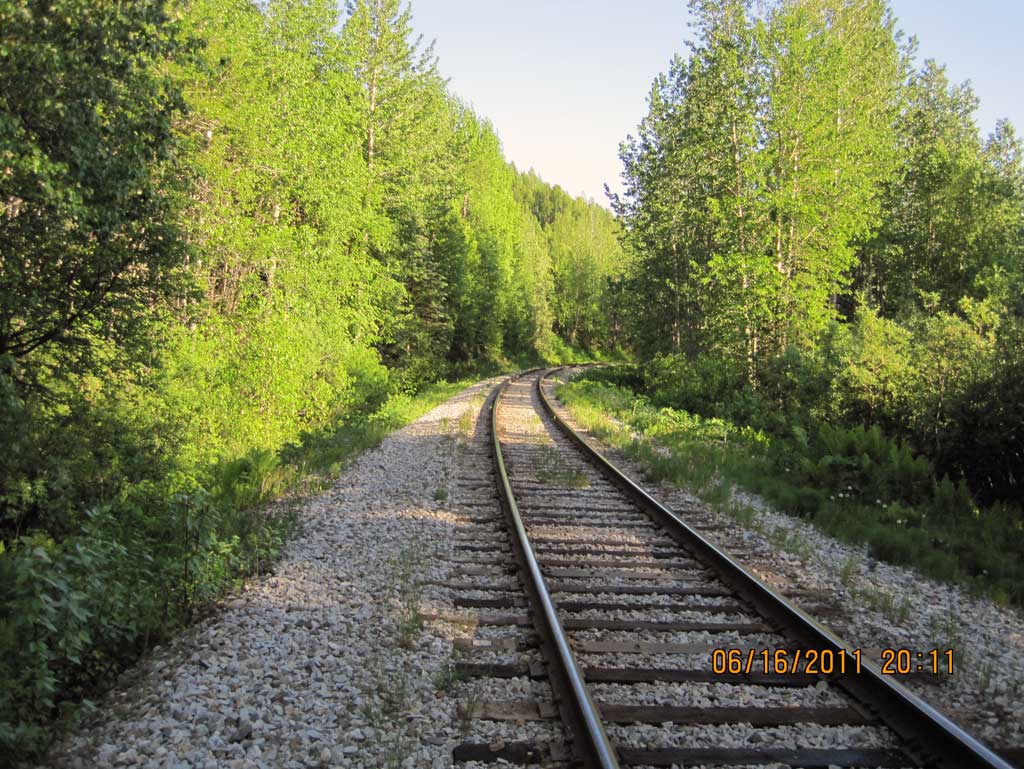
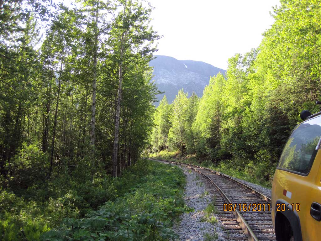
Road Name: Alaska Railroad
Datum: NAD83
Quad Name / ITM: Talkeetna Mts D-6
AWC Stream #:
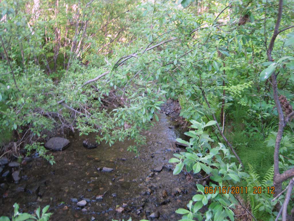
Stream Name: Miami Creek
Elevation:
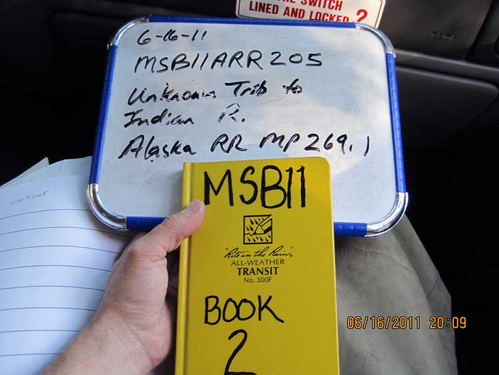
Site Comments: Alaska Railroad MP 269.1
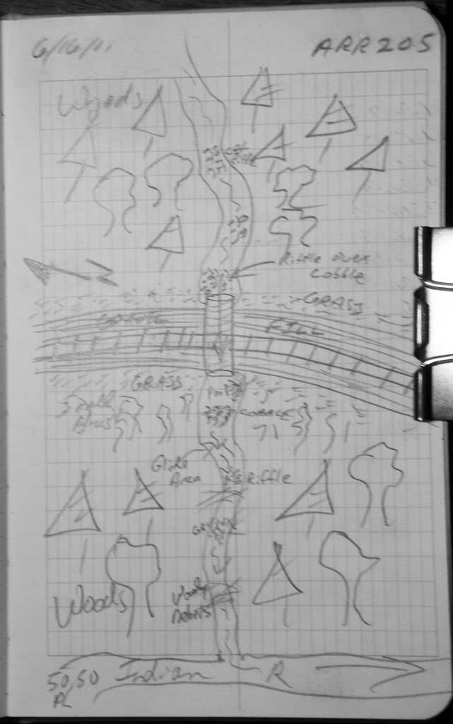
Survey MSB11-ARR205
Project Supervisor: Gillian O'Doherty, Alaska Department of Fish and Game
— Anchorage, AK
Observers: John Greuey, Abraham Gioffre
Overall Fish Passage Rating:
Tidal: No
Backwatered: No
Step Pools: No
Construction Year:
Site Observations:
- Constriction ratio gray
- Culvert gradient gray
- Sediment accumulation
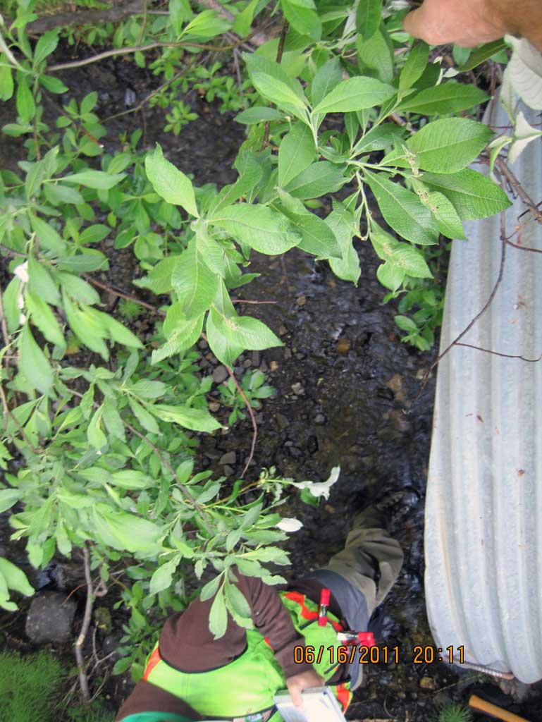
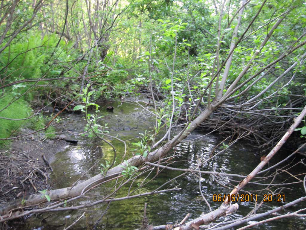
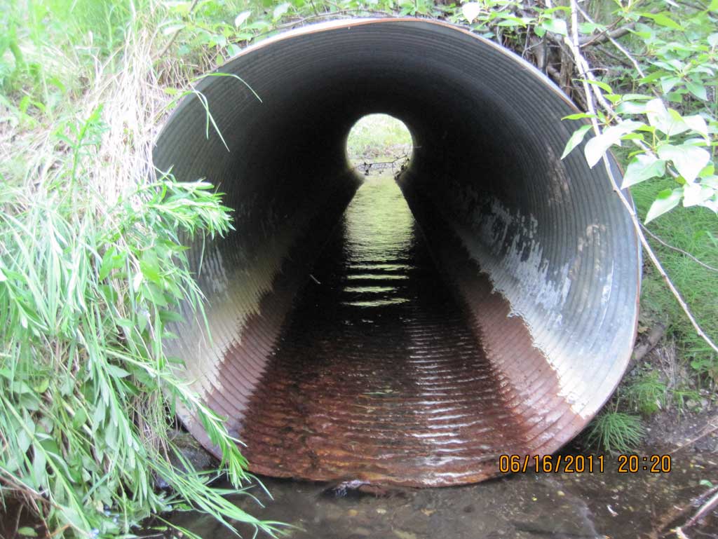
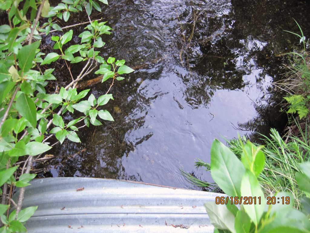
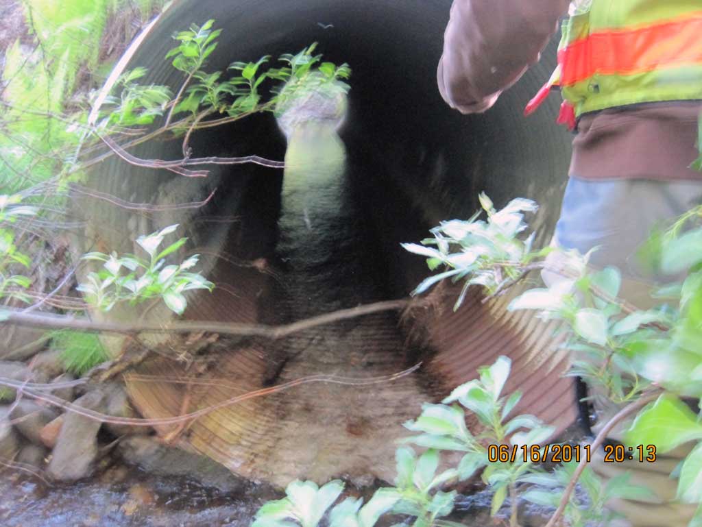
Comments: Alaska Railroad site at MP 269.1. No substrate in pipe and smooth glide out of pipe for approx. 50'. Long. Profile started at upstream grade point and moves downstream.
Culvert Measurements
| ID: 1 | Structure Type: Circular pipe (Corrugated steel) | Fish Passage Rating: | ||||||||||||||||||||||||||||||||||||||||||
|
|
|
||||||||||||||||||||||||||||||||||||||||||
Culvert Observations:
|
||||||||||||||||||||||||||||||||||||||||||||
Stream Measurements
|
|
| Stream Width Type | Distance From Crossing (ft) |
Stream Width (ft) |
|---|---|---|
| Upstream ordinary high water | 42.0 | 8.00 |
| Upstream ordinary high water | 89.0 | 6.20 |
| Upstream ordinary high water | 128.0 | 7.30 |
Elevations
| Locator ID | Culvert Number |
River Distance (ft)1 |
Distance From Crossing (ft)2 |
Relative Elevation (ft) |
|---|---|---|---|---|
| U/S Grade Ctrl (Thalweg) (Middle of continuous riffle) | 0.00 | 90.93 | ||
| U/S Water Surface Elev | 0.00 | 91.37 | ||
| U/S Grade Ctrl (Thalweg) (Top of riffle) | 30.00 | 90.50 | ||
| U/S Water Surface Elev | 30.00 | 90.65 | ||
| U/S Water Surface Elev (Water surface just outside inlet of pipe) | 56.50 | 89.56 | ||
| U/S Grade Ctrl (Thalweg) (Thalweg just outside inlet of pipe) | 56.50 | 89.33 | ||
| U/S Water Surface Elev (Water surface at the inlet) | 57.00 | 89.47 | ||
| Inlet Culvert Invert (On pipe) | 57.00 | 89.18 | ||
| Inlet Culvert Top | 57.00 | 94.21 | ||
| Road Elev | 82.00 | 99.41 | ||
| Outlet Culvert Top | 107.50 | 93.61 | ||
| Outlet Invert (On pipe) | 107.50 | 88.69 | ||
| D/S Water Surface Elev (Water surface at the outlet.Smooth glide downstream of outlet, no stream features.) | 107.50 | 89.16 |
Notes:
- River distance is measured continuously throughout the survey reach along the thalweg of the stream.
- Measured from each end of the crossing along the thalweg of the stream.
Fish Sampling Efforts
No fish sampling occurred during this survey.
Fish Observations
No fish observations occurred during this survey.
Photos
Questions or comments about this report can be directed to dfg.dsf.webmaster@alaska.gov