Fish Passage Site 20502087
Coordinates (dec. deg.): 62.82950°, -149.63704°
Legal Description: S032N002W27
Region: South Central
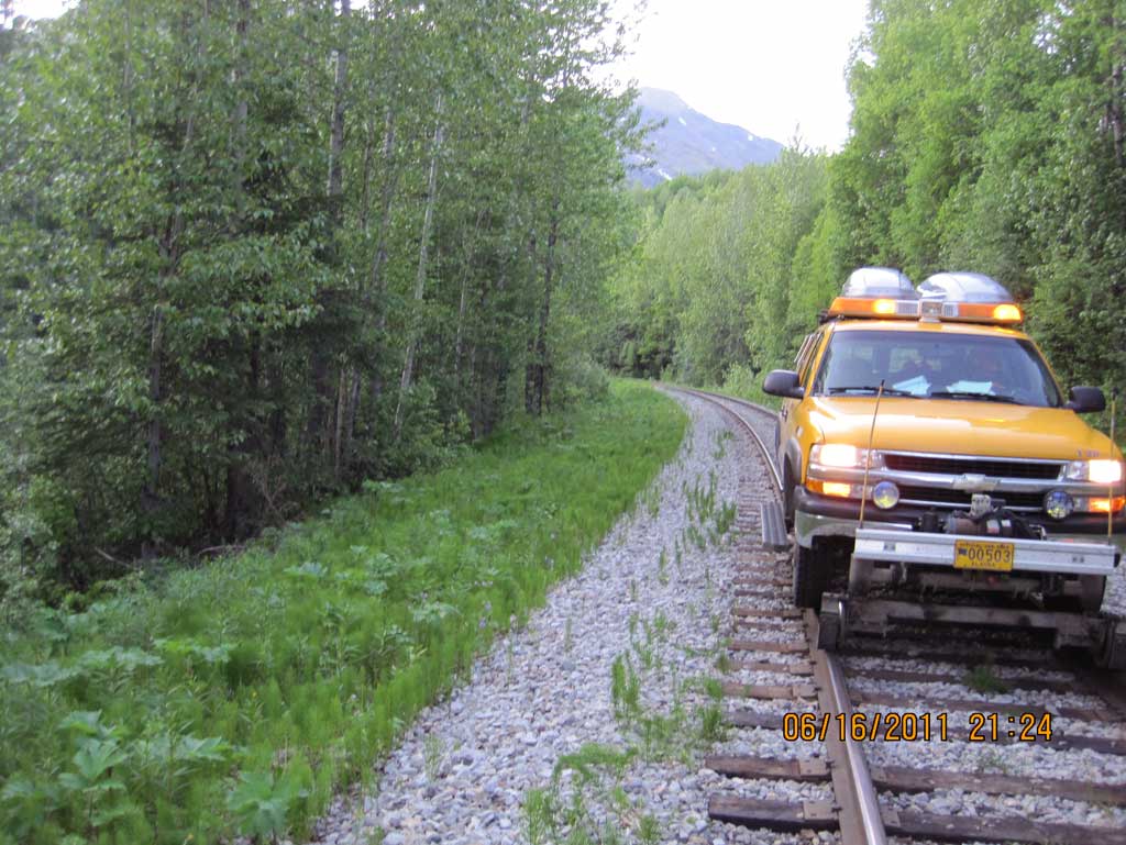
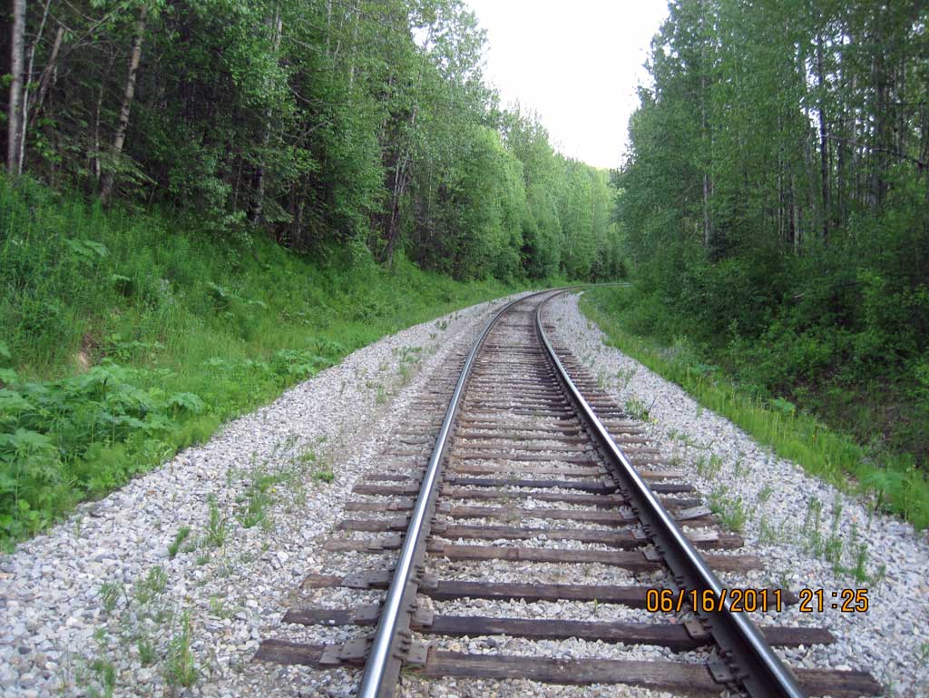
Road Name: Alaska Railroad
Datum: NAD83
Quad Name / ITM: Talkeetna Mts D-6
AWC Stream #:
Stream Name: Indian River tributary
Elevation:
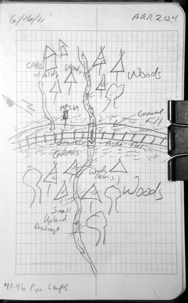
Site Comments: Alaska railroad site at MP 268.99
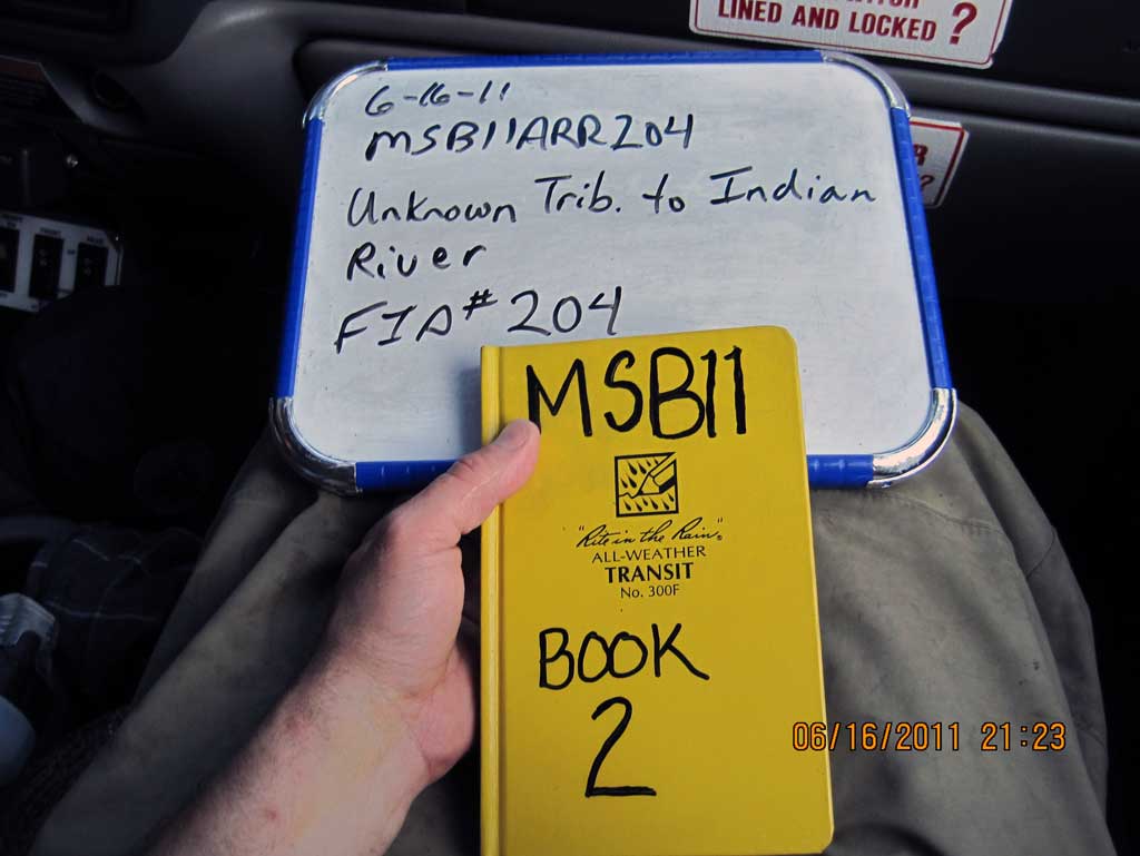
Survey MSB11-ARR204
Project Supervisor: Gillian O'Doherty, Alaska Department of Fish and Game
— Anchorage, AK
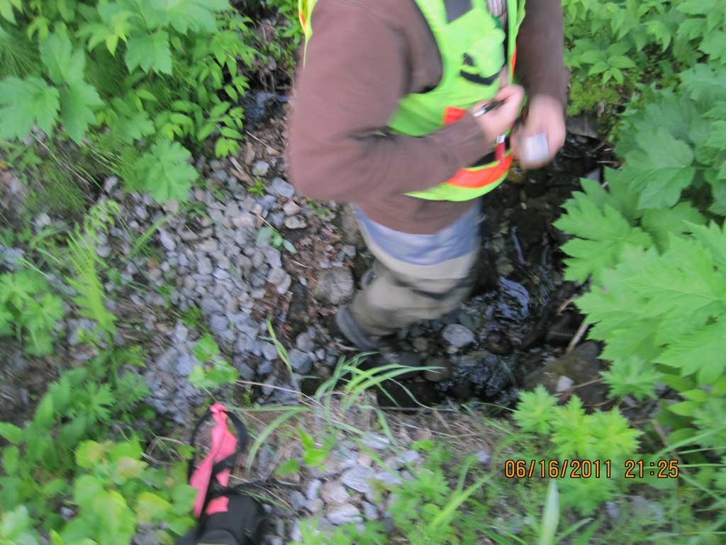
Observers: John Greuey, Abraham Gioffre
Overall Fish Passage Rating:
Tidal: No
Backwatered: No
Step Pools: No
Construction Year:
Site Observations:
- Woody Debris
- Structural Problem
- Mechanical damage or joints parting
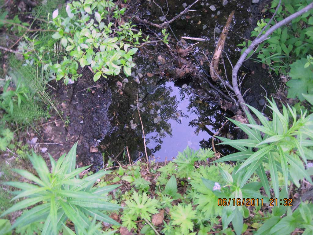
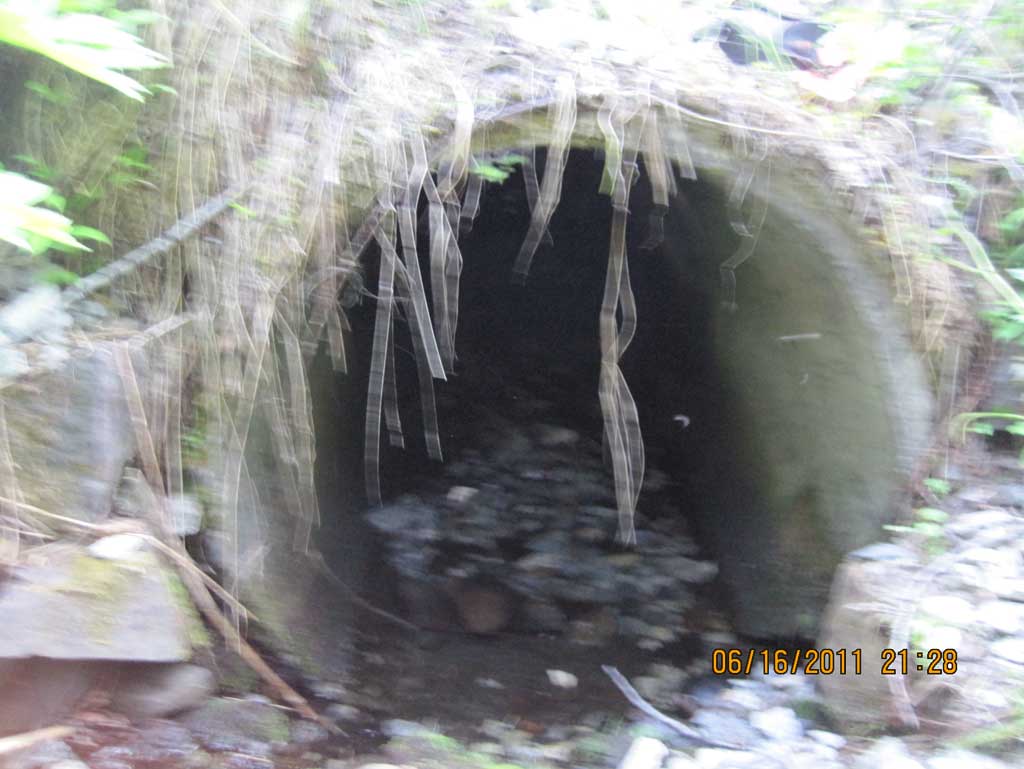
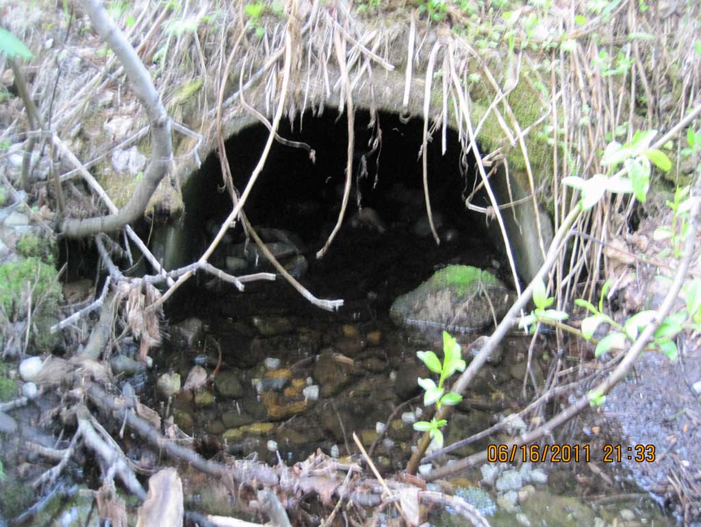
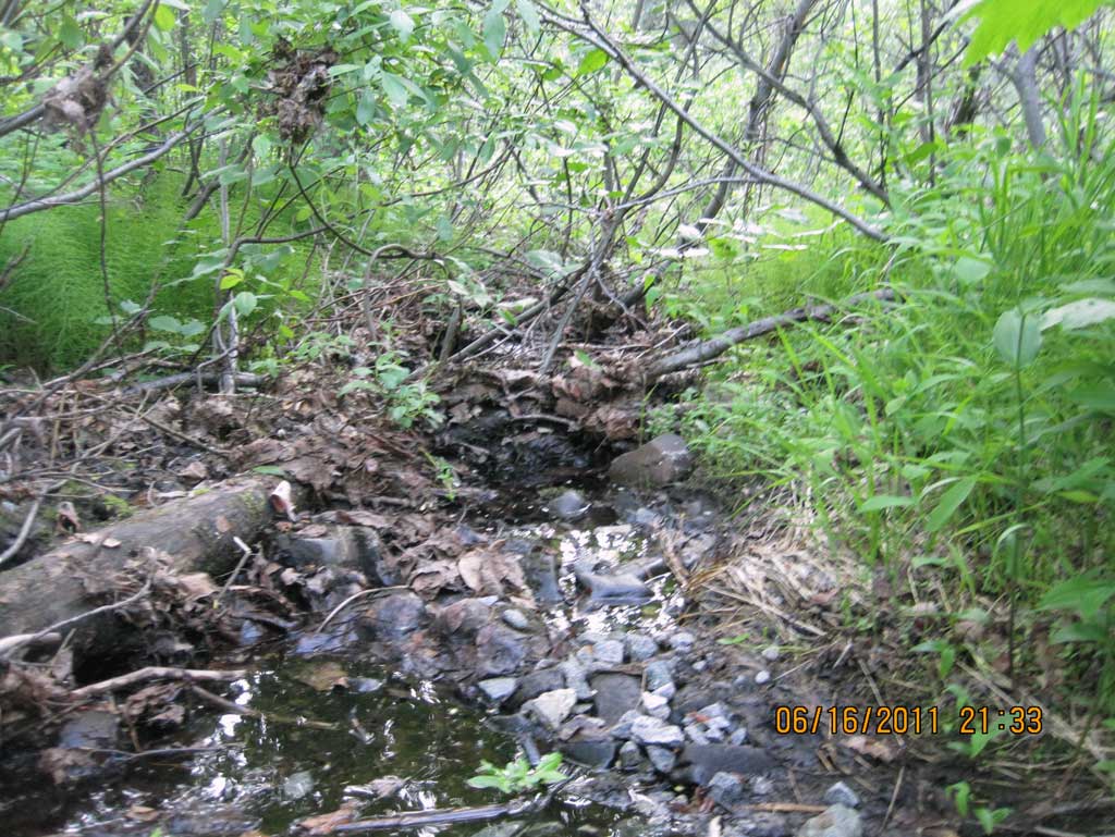
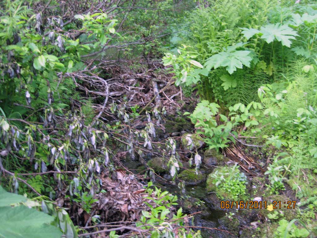
Comments: Alaska railroad site at MP 268.99. Very low flow thru culvert and over cobble/woody/organic matter at outlet. Concrete culvert is cracked and broken off at inlet and gravel/cobble creates small pools. Long profile starts upstream. Low flow. Used algae growth line for high water mark in culvert.
Culvert Measurements
| ID: 1 | Structure Type: Circular pipe (Reinforced concrete) | Fish Passage Rating: | ||||||||||||||||||||||||||||||||||||||||||
|
|
|
||||||||||||||||||||||||||||||||||||||||||
Culvert Observations:
|
||||||||||||||||||||||||||||||||||||||||||||
Stream Measurements
|
|
| Stream Width Type | Distance From Crossing (ft) |
Stream Width (ft) |
|---|---|---|
| Upstream ordinary high water | 31.0 | 2.60 |
| Upstream ordinary high water | 57.0 | 3.60 |
| Upstream ordinary high water | 86.0 | 6.00 |
Elevations
| Locator ID | Culvert Number |
River Distance (ft)1 |
Distance From Crossing (ft)2 |
Relative Elevation (ft) |
|---|---|---|---|---|
| U/S Grade Ctrl (Thalweg) (On cobble with little flow) | 0.00 | 95.11 | ||
| U/S Water Surface Elev | 0.00 | 95.21 | ||
| U/S Grade Ctrl (Thalweg) (Top of small riffle) | 35.00 | 93.32 | ||
| U/S Water Surface Elev | 35.00 | 93.51 | ||
| Inlet Culvert Top | 36.00 | 96.11 | ||
| Inlet Culvert Invert (On pipe) | 36.00 | 92.79 | ||
| U/S Water Surface Elev (Water surface at inlet) | 36.00 | 93.21 | ||
| Road Elev (Center of railroad tracks) | 56.00 | 99.31 | ||
| Outlet Invert (On substrate) | 77.46 | 92.21 | ||
| D/S Water Surface Elev (Water surface at outlet. Downstream is a low flow drainage with lots of wooden debris in channel.) | 77.46 | 92.47 | ||
| Outlet Culvert Top | 77.46 | 94.34 |
Notes:
- River distance is measured continuously throughout the survey reach along the thalweg of the stream.
- Measured from each end of the crossing along the thalweg of the stream.
Fish Sampling Efforts
No fish sampling occurred during this survey.
Fish Observations
No fish observations occurred during this survey.
Photos
Questions or comments about this report can be directed to dfg.dsf.webmaster@alaska.gov