Fish Passage Site 20502086
Coordinates (dec. deg.): 62.85033°, -149.62981°
Legal Description: S032N002W22
Region: South Central
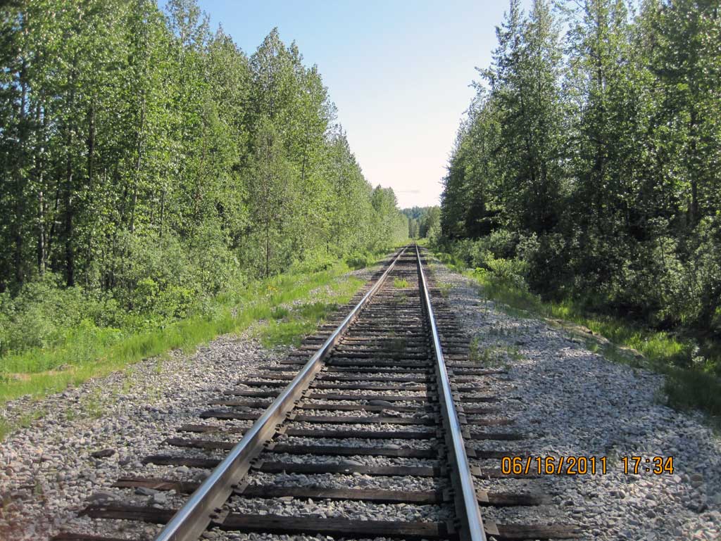
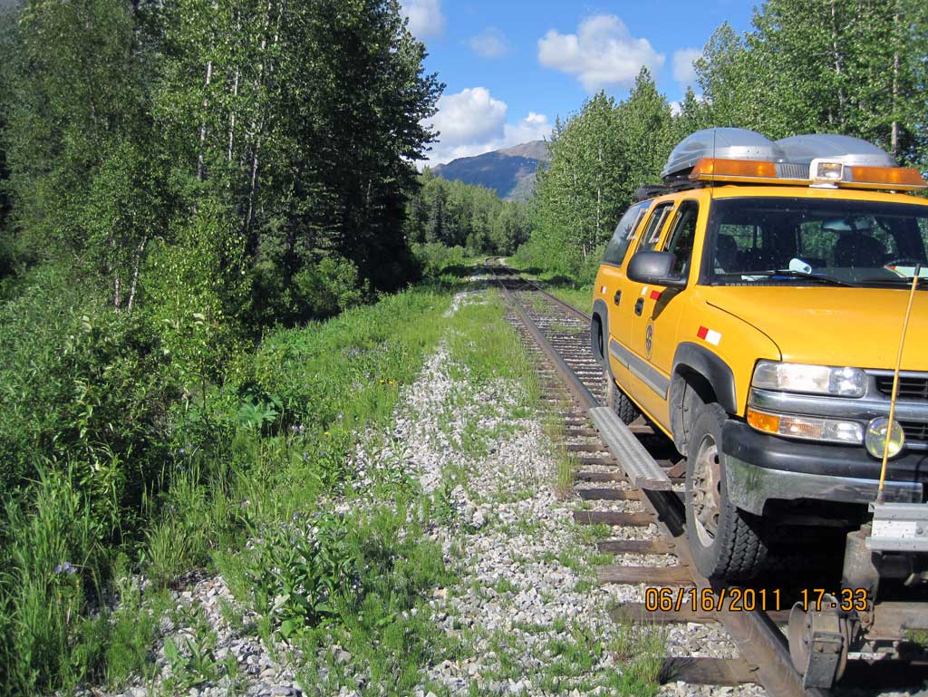
Road Name: Alaska Railroad
Datum: NAD83
Quad Name / ITM: Talkeetna Mts D-6
AWC Stream #: 247-41-10200-2551-3007
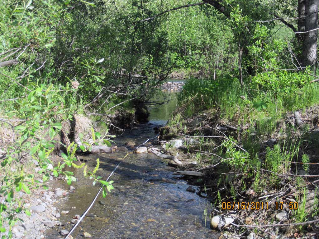
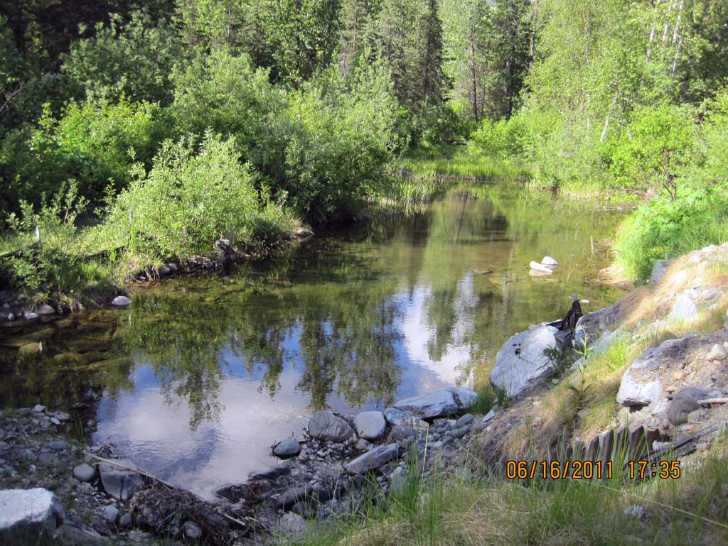
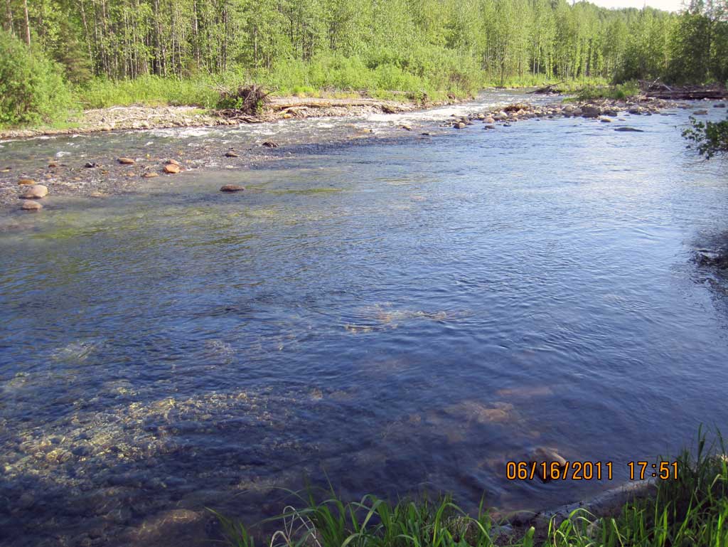
Stream Name: Indian River tributary
Elevation:
Site Comments: Alaska RR at MP 270.9 Dwst approx 84' is confluence with Indian River
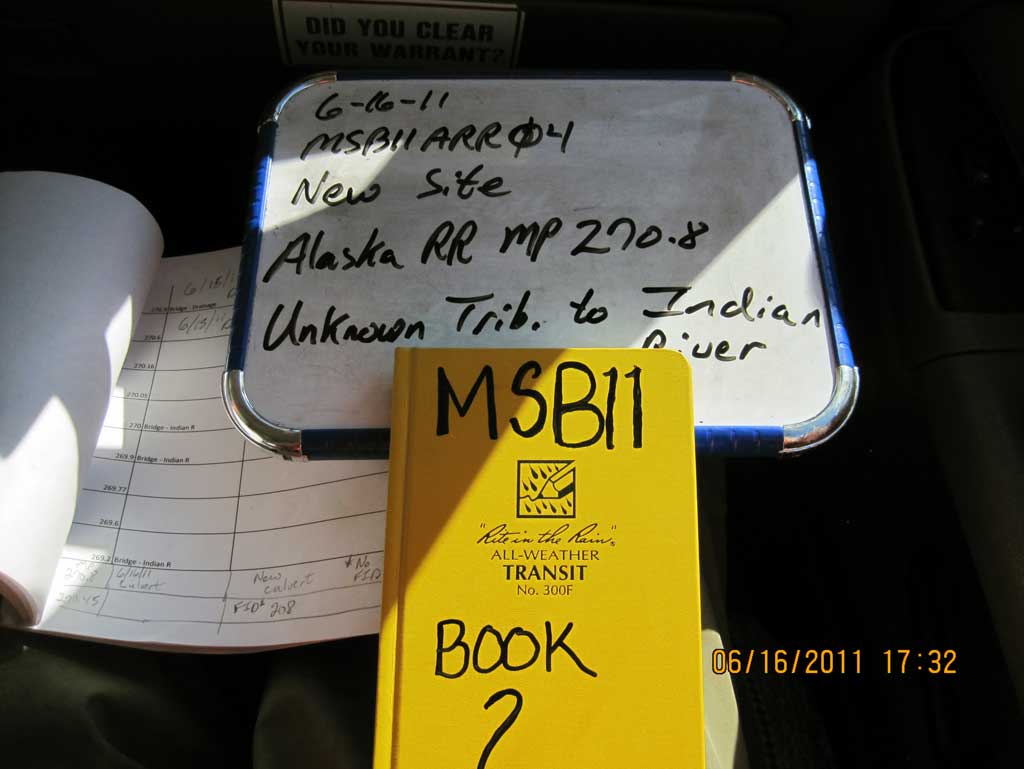
Survey MSB11-ARR04
Project Supervisor: Gillian O'Doherty, Alaska Department of Fish and Game
— Anchorage, AK
Observers: John Greuey, Abraham Gioffre
Overall Fish Passage Rating:
Tidal: No
Backwatered: No
Step Pools: No
Construction Year:
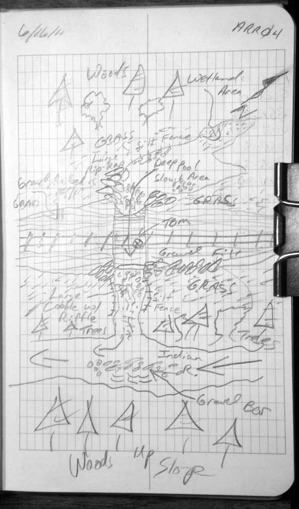
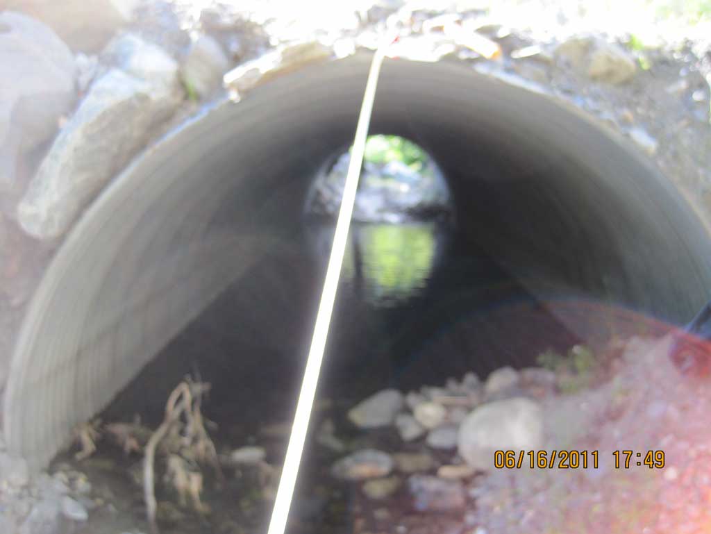
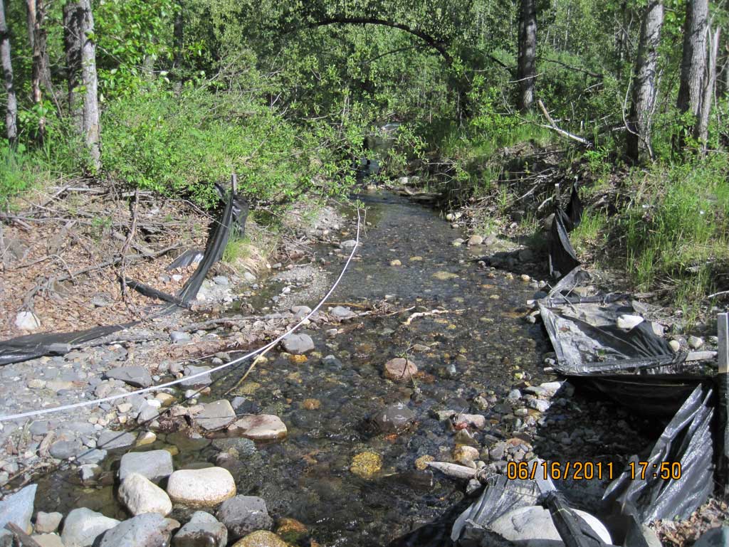
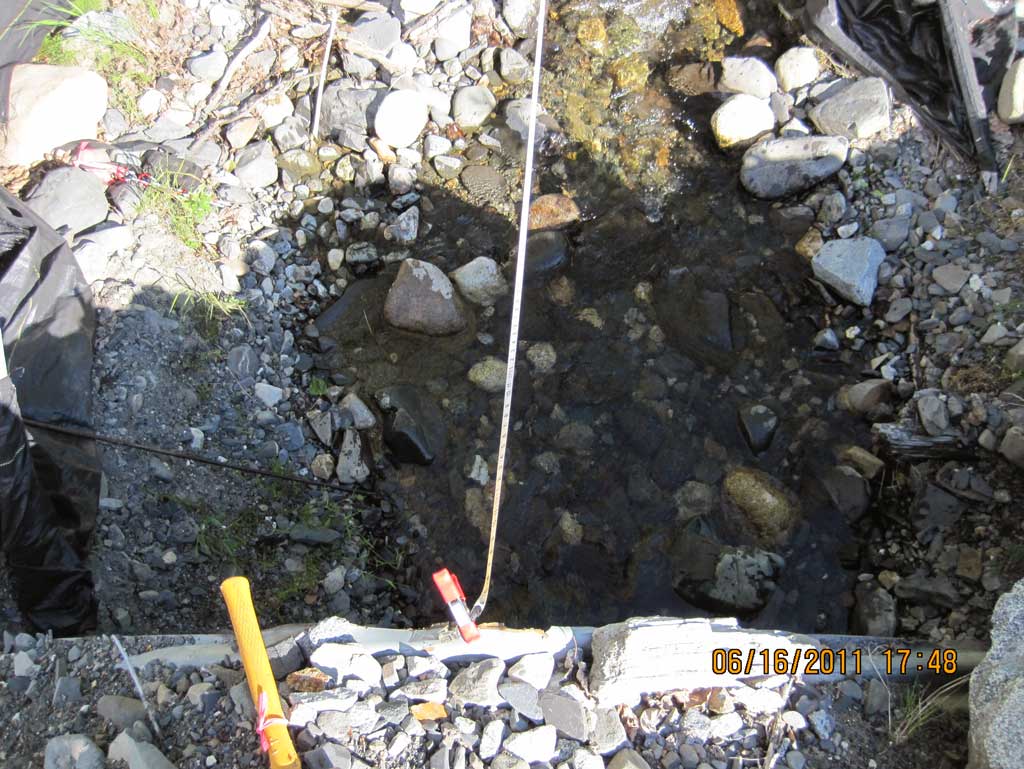
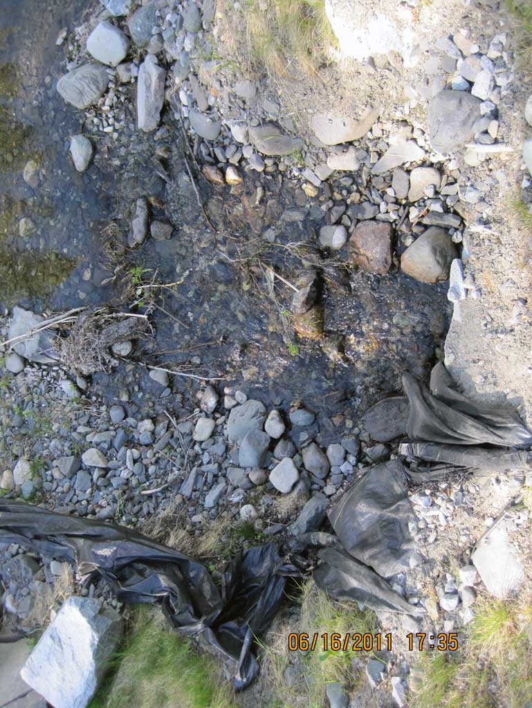
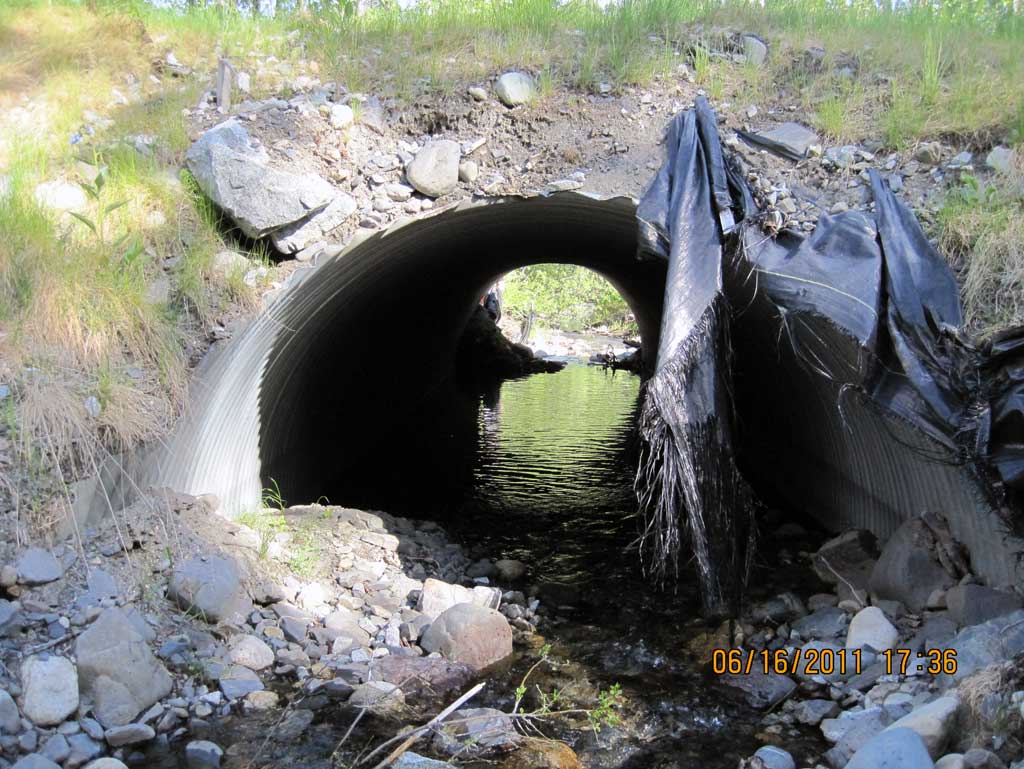
Comments: Upst is a ponded slough w/ beaver activity and no obvious channel. Outlet and inlet are embedded although not the entire pipe. Dwst approx 84' is confluence w/ Indian R. Landscape fabric abandoned at site and getting into channel.
Culvert Measurements
| ID: 1 | Structure Type: Circular pipe (Corrugated steel) | Fish Passage Rating: | ||||||||||||||||||||||||||||||||||||||||||
|
|
|
||||||||||||||||||||||||||||||||||||||||||
Stream Measurements
|
|
| Stream Width Type | Distance From Crossing (ft) |
Stream Width (ft) |
|---|---|---|
| Downstream ordinary high water | 34.0 | 7.00 |
| Downstream ordinary high water | 57.0 | 4.75 |
| Downstream ordinary high water | 84.0 | 5.20 |
Elevations
| Locator ID | Culvert Number |
River Distance (ft)1 |
Distance From Crossing (ft)2 |
Relative Elevation (ft) |
|---|---|---|---|---|
| D/S Grade Ctrl (Thalweg) (Bottom of riffle at confuluence with river) | 0.00 | 87.43 | ||
| D/S Water Surface Elev | 0.00 | 87.99 | ||
| D/S Grade Ctrl (Thalweg) (Top of riffle) | 30.00 | 88.88 | ||
| D/S Water Surface Elev | 30.00 | 89.07 | ||
| D/S Grade Ctrl (Thalweg) (Bottom of riffle) | 58.00 | 89.24 | ||
| D/S Water Surface Elev | 58.00 | 89.42 | ||
| Outlet Invert (On substrate) | 84.00 | 90.03 | ||
| D/S Water Surface Elev (Water surface at outlet) | 84.00 | 90.51 | ||
| Outlet Culvert Top | 84.00 | 95.73 | ||
| Road Elev | 104.00 | 99.37 | ||
| Inlet Culvert Top | 125.20 | 95.76 | ||
| Inlet Culvert Invert | 125.20 | 90.65 | ||
| U/S Water Surface Elev (Water surface at inlet) | 125.20 | 90.92 | ||
| U/S Grade Ctrl (Thalweg) (Top of riffle) | 134.20 | 91.33 | ||
| U/S Water Surface Elev | 134.20 | 91.56 |
Notes:
- River distance is measured continuously throughout the survey reach along the thalweg of the stream.
- Measured from each end of the crossing along the thalweg of the stream.
Fish Sampling Efforts
No fish sampling occurred during this survey.
Fish Observations
No fish observations occurred during this survey.
Photos
Questions or comments about this report can be directed to dfg.dsf.webmaster@alaska.gov