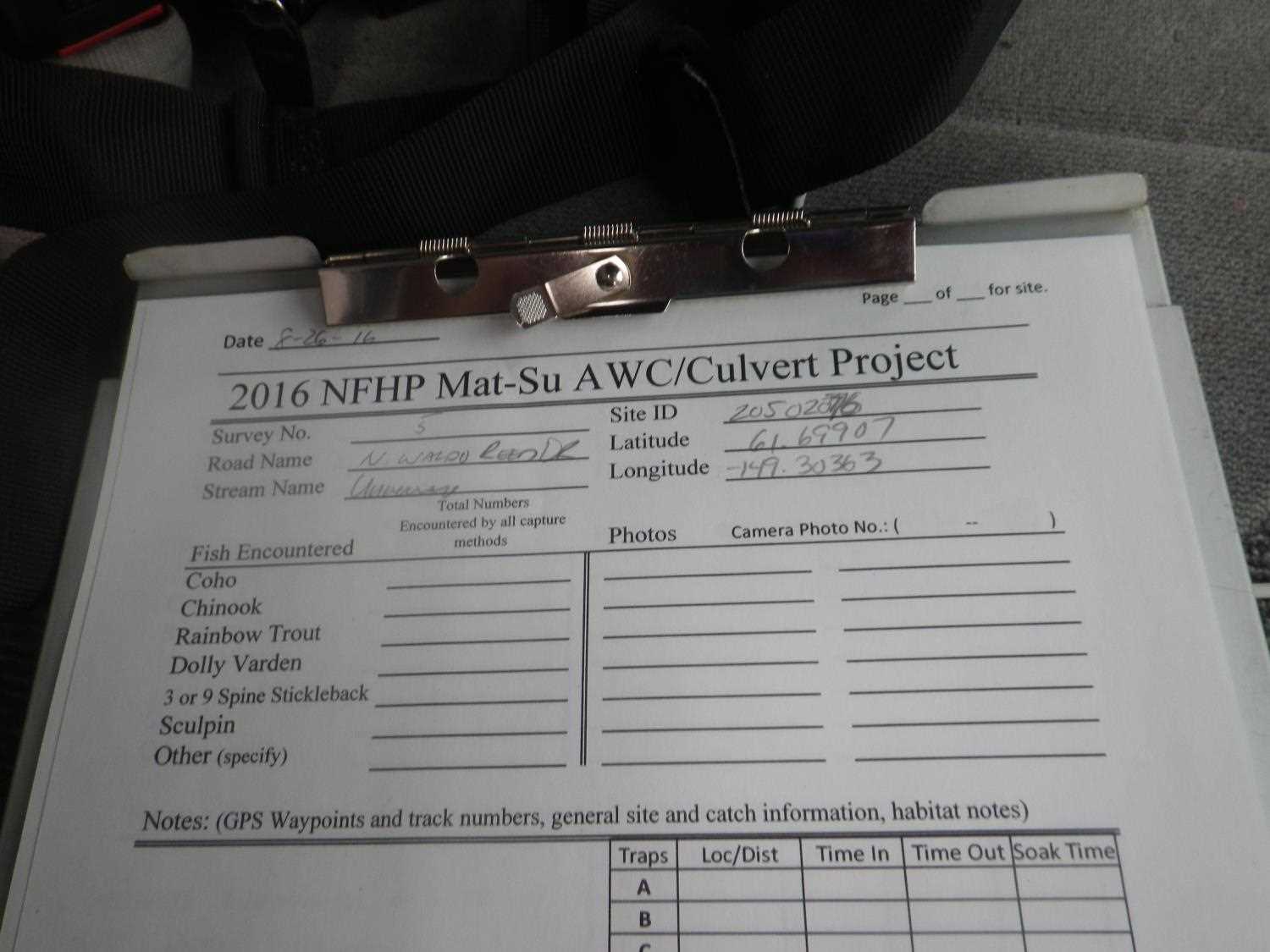
Fish Passage Site 20502076
Coordinates (dec. deg.): 61.69907°, -149.30347°
Legal Description: S019N001E32
Region: South Central
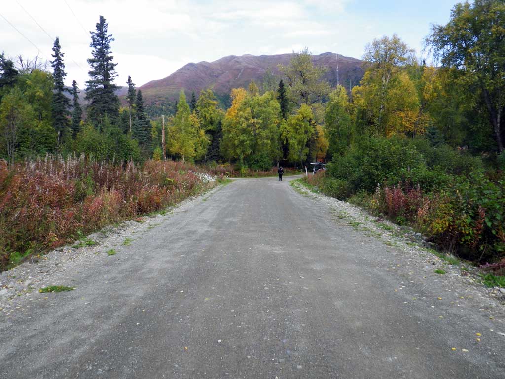
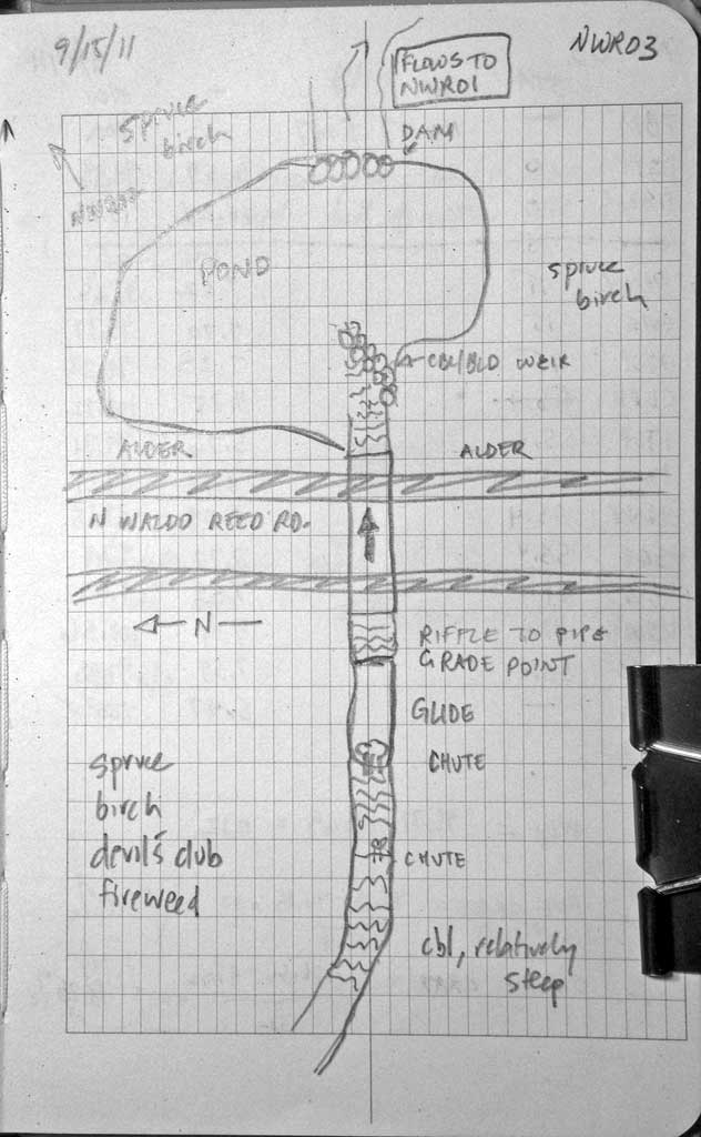
Road Name: North Waldo Reed Road
Datum: NAD83
Quad Name / ITM: Anchorage C-7
AWC Stream #:
Stream Name:
Elevation:
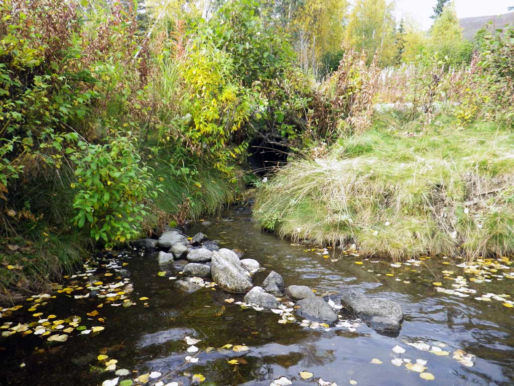
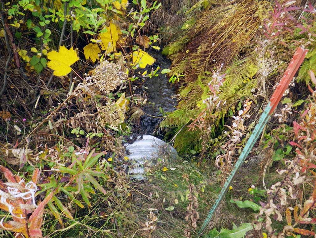
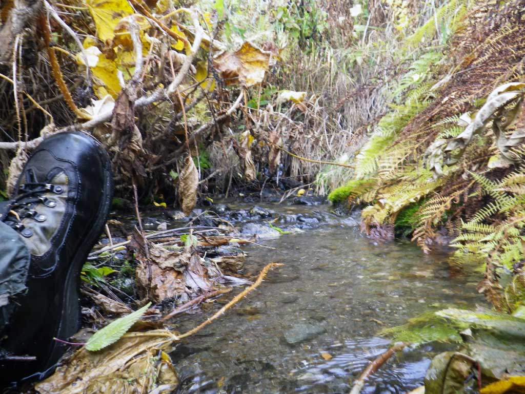
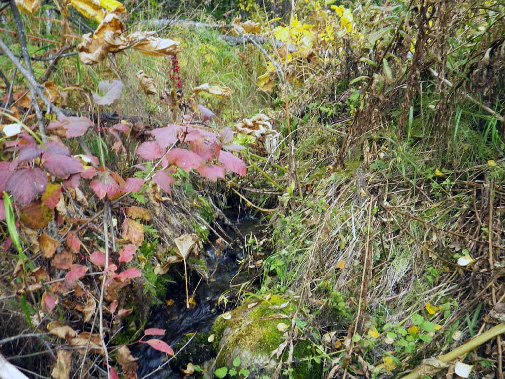
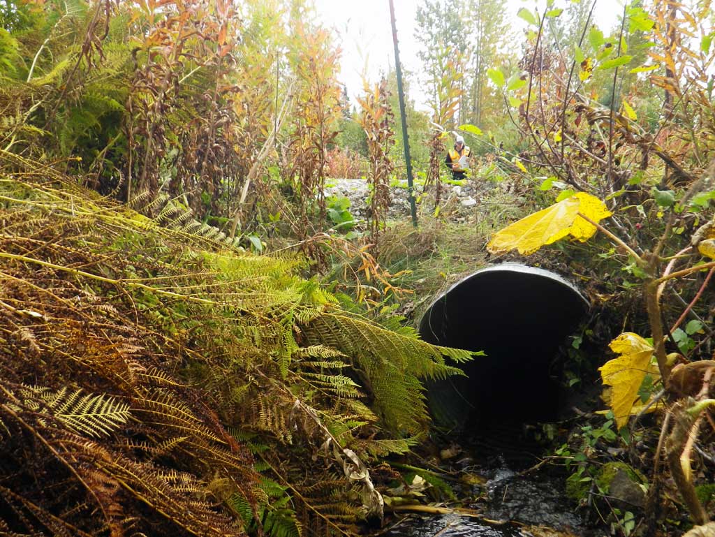
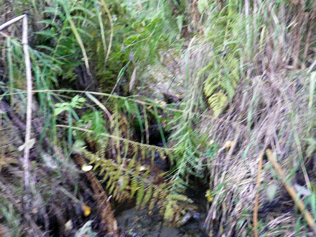
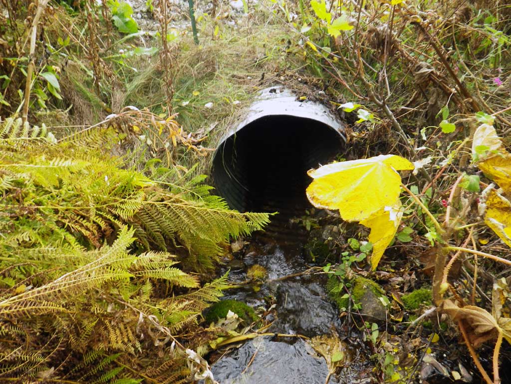
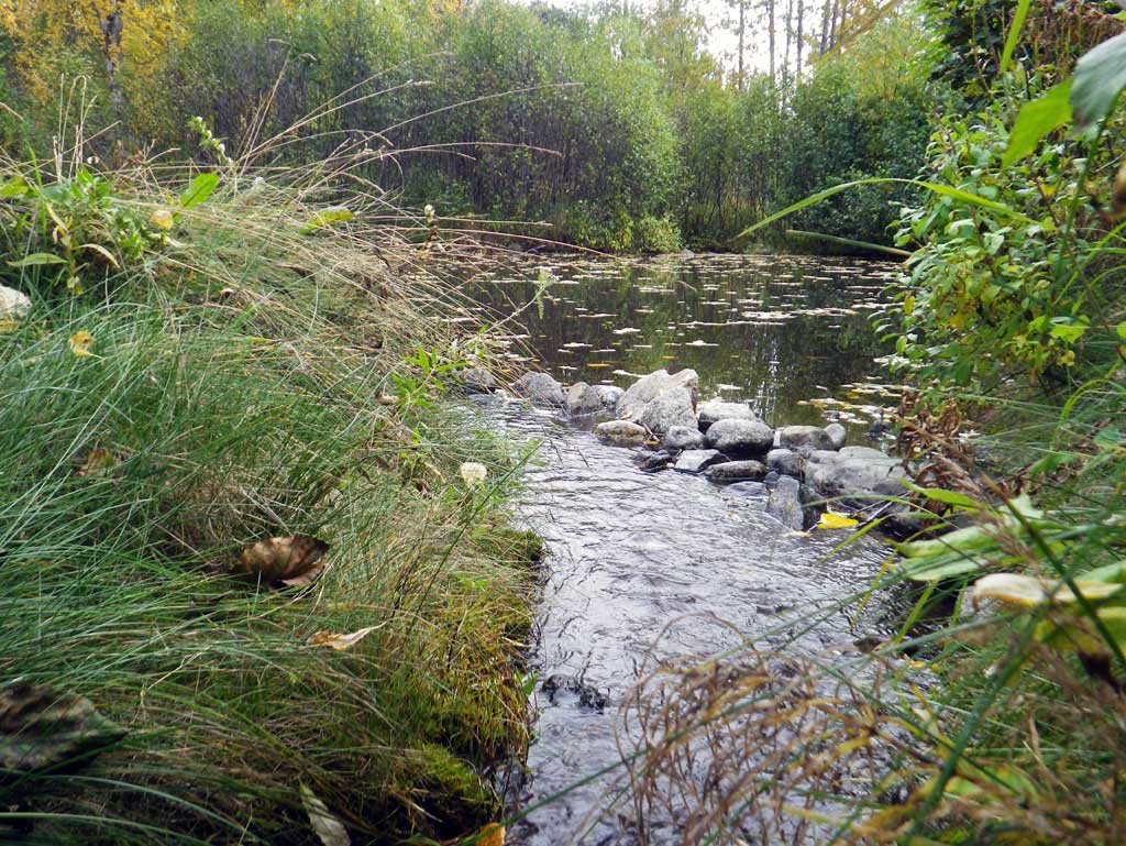
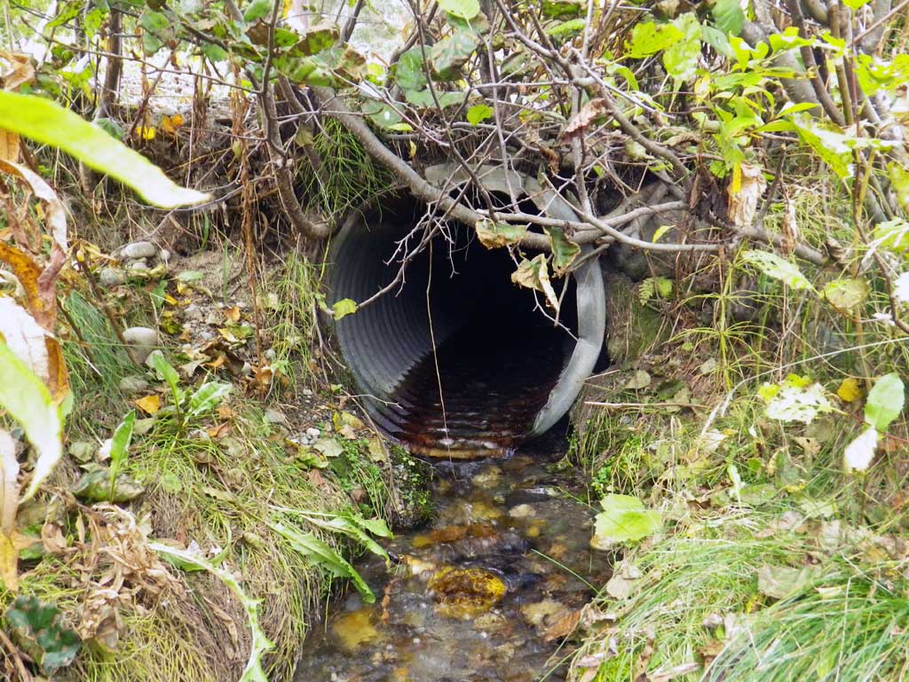
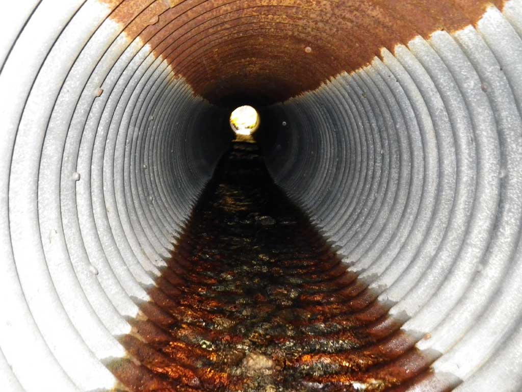
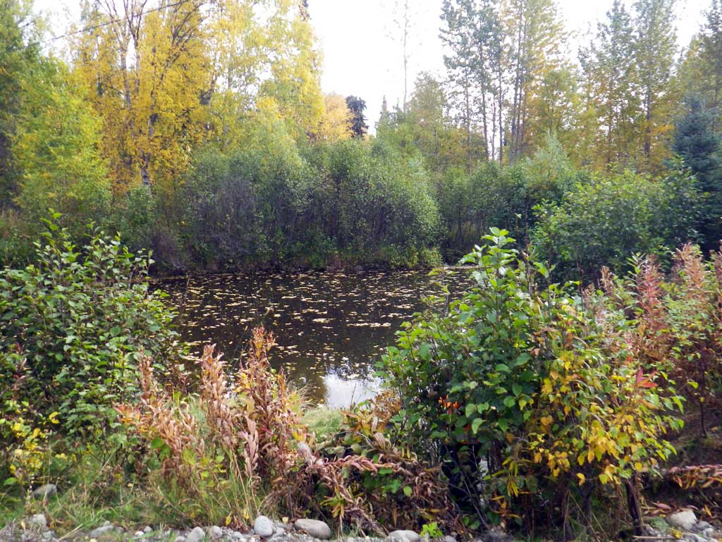
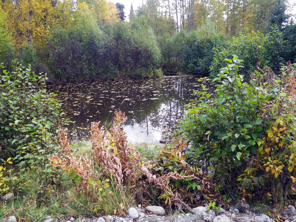
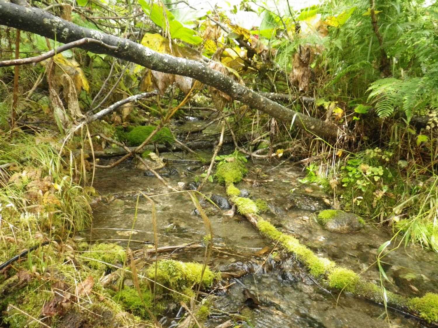
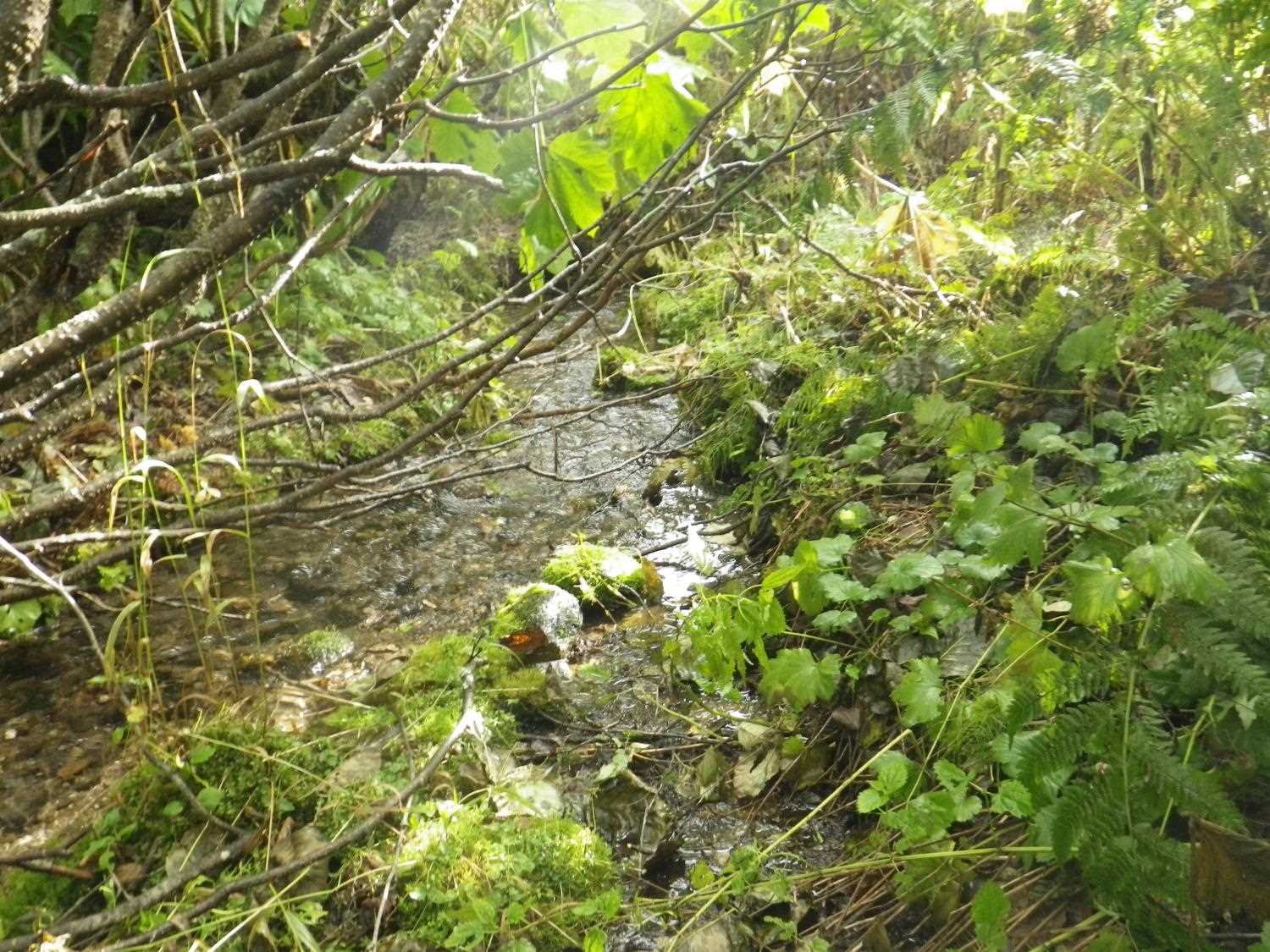
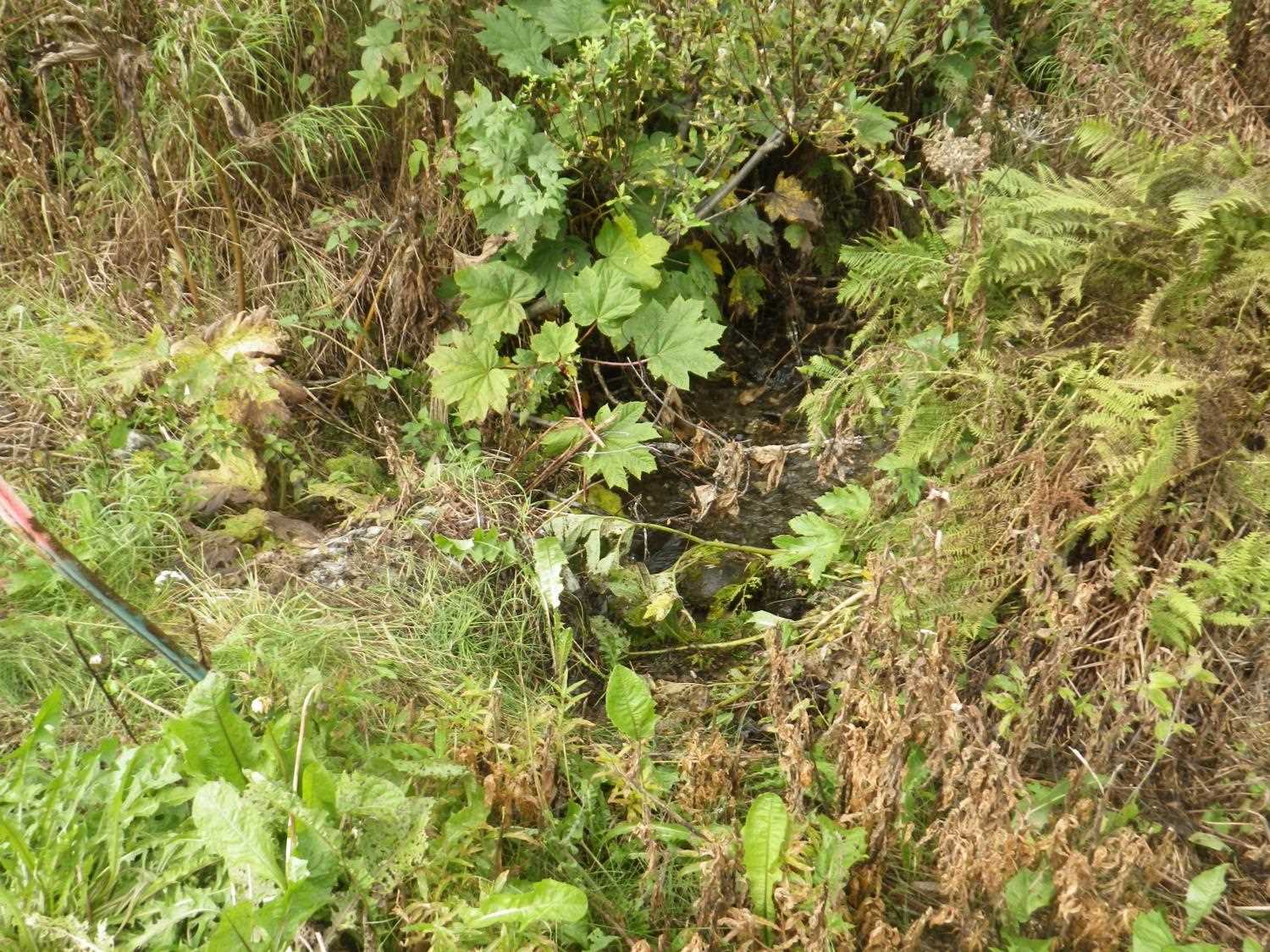
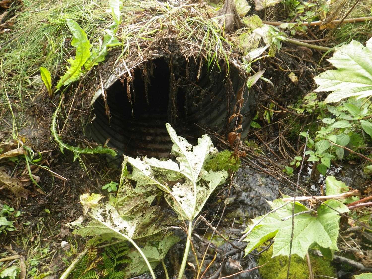
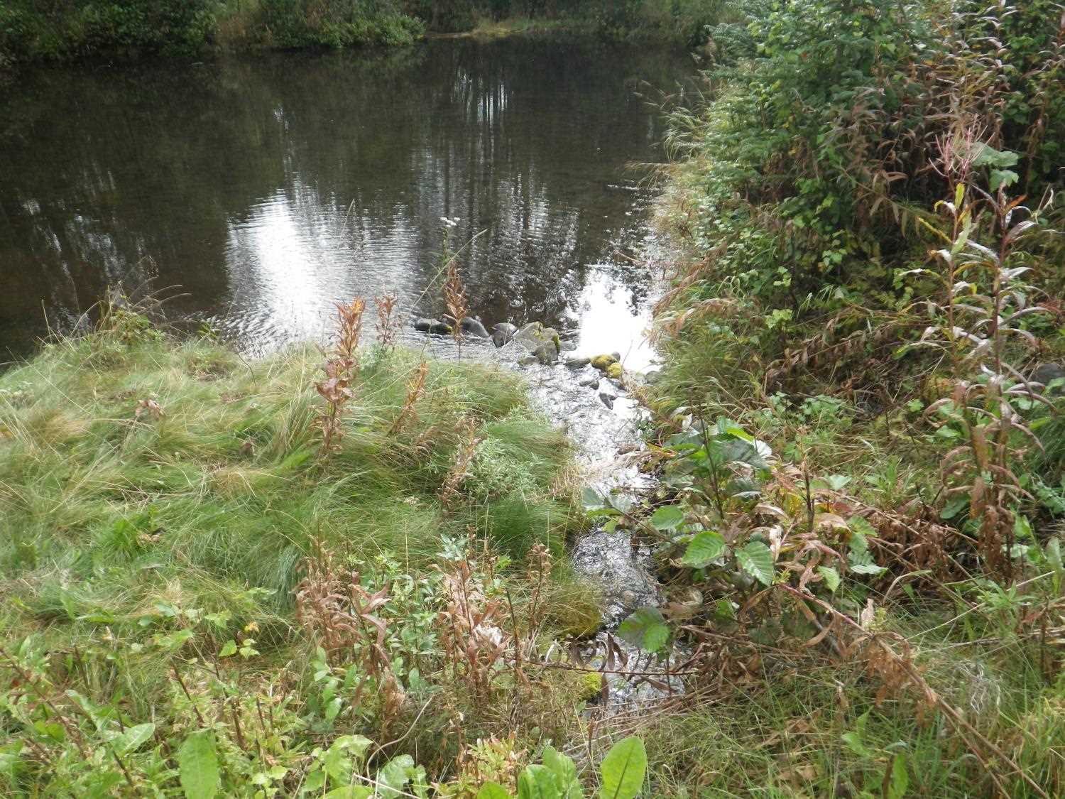
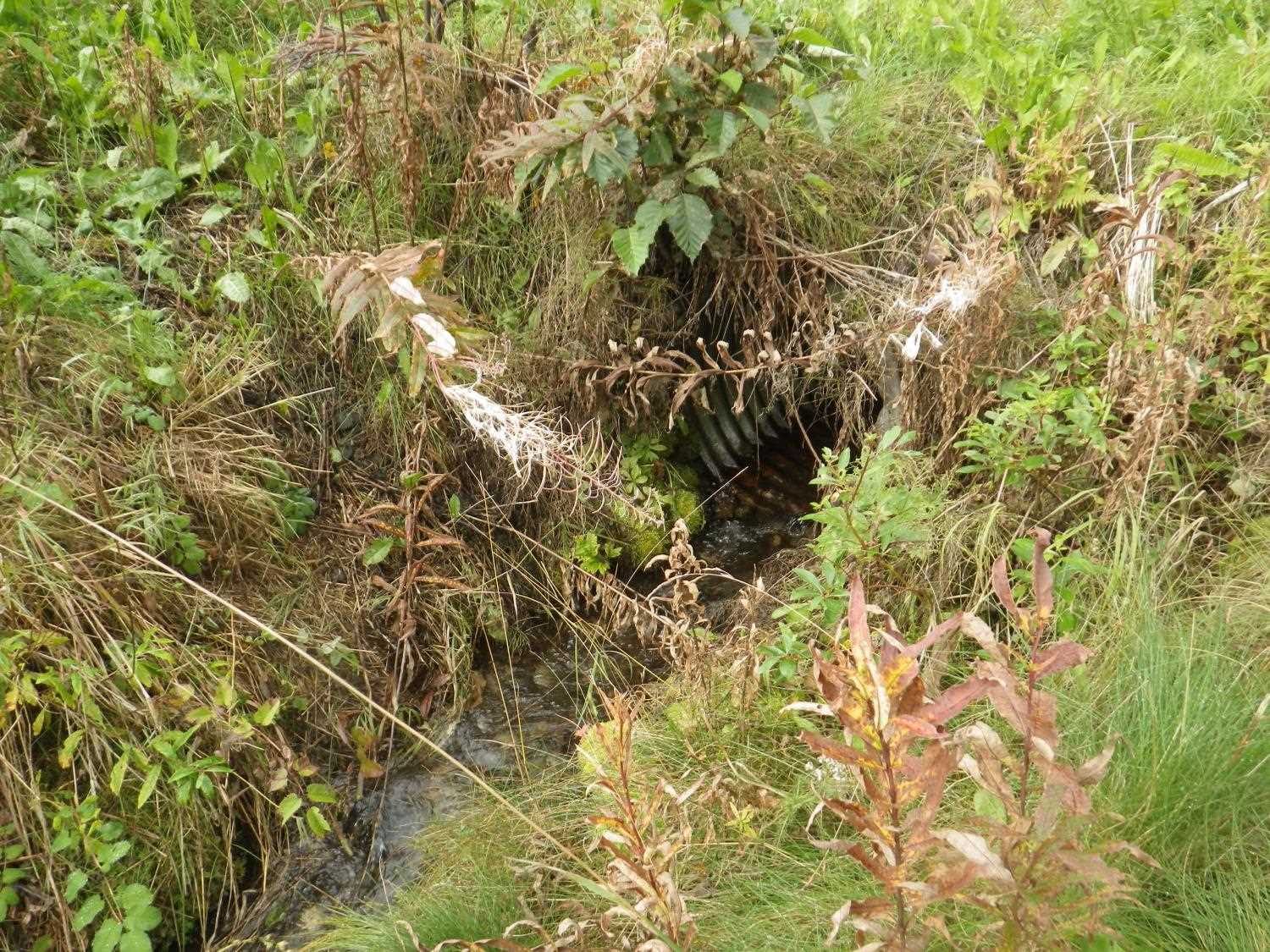
Site Comments: North Waldo Reed Road with an upst area very brushy and a short dwst channel that drains into a pond 15' dwst.
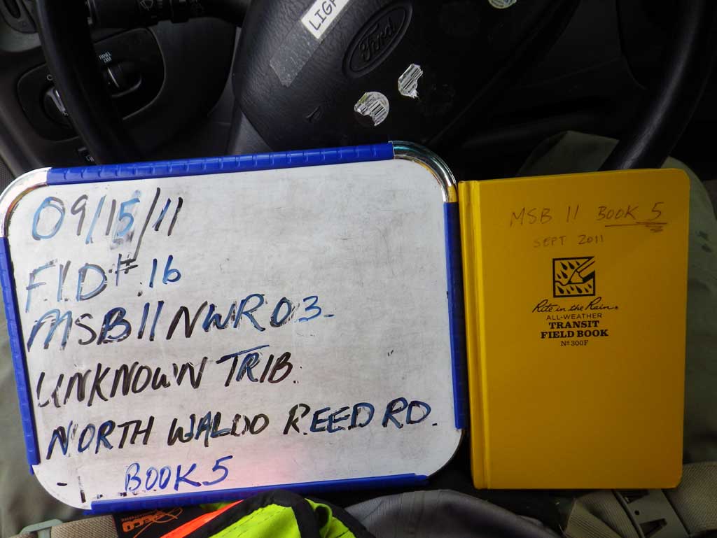
Survey MSB11-NWR03
Project Supervisor: Gillian O'Doherty, Alaska Department of Fish and Game
— Anchorage, AK
Observers: Abraham Gioffre, Jim Latham
Overall Fish Passage Rating:
Tidal: No
Backwatered: No
Step Pools: No
Construction Year:
Site Observations:
- Culvert gradient red
Comments: **Updated site photos added from 8/26/16, fish information in AFFI, site visit from Sampling Unmapped Streams in the MSB project.** North Waldo Reed Road with an upst area very brushy and a short dwst channel that drains into a pond 15' dwst.
Culvert Measurements
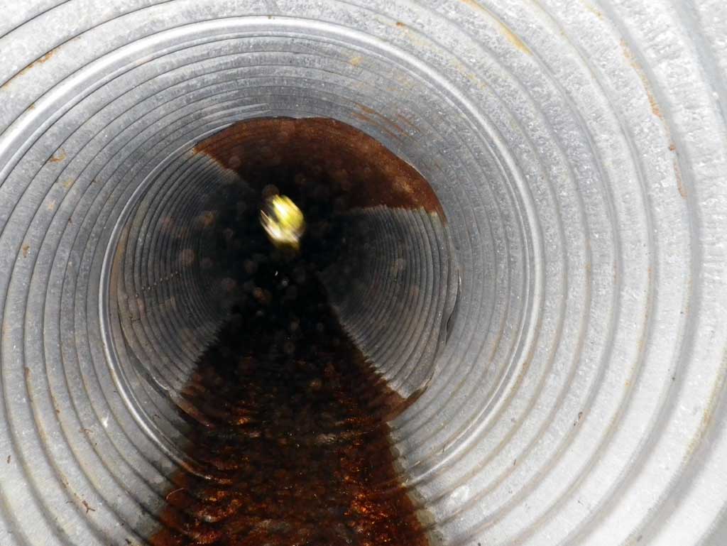
| ID: 1 | Structure Type: Circular pipe (Corrugated steel) | Fish Passage Rating: | |||||||||||||||||||||||||||||||||||||||||
|
|
|
|||||||||||||||||||||||||||||||||||||||||
Culvert Observations:
|
|||||||||||||||||||||||||||||||||||||||||||
Stream Measurements
|
|
| Stream Width Type | Distance From Crossing (ft) |
Stream Width (ft) |
|---|---|---|
| Upstream ordinary high water | 12.0 | 1.70 |
| Upstream ordinary high water | 38.0 | 2.20 |
| Upstream ordinary high water | 70.0 | 2.00 |
Elevations
| Locator ID | Culvert Number |
River Distance (ft)1 |
Distance From Crossing (ft)2 |
Relative Elevation (ft) |
|---|---|---|---|---|
| D/S Thalweg (profile pt at end of channel before pond) | 0.00 | 94.88 | ||
| D/S Water Surface Elev | 0.00 | 95.23 | ||
| Outlet Invert (on pipe) | 15.00 | 95.65 | ||
| D/S Water Surface Elev (outlet water surface) | 15.00 | 95.77 | ||
| Outlet Culvert Top | 15.00 | 98.22 | ||
| Road Elev | 35.00 | 100.72 | ||
| Inlet Culvert Top | 55.40 | 99.71 | ||
| Inlet Culvert Invert (on pipe) | 55.40 | 97.18 | ||
| U/S Water Surface Elev (inlet water surface) | 55.40 | 97.29 | ||
| U/S Thalweg (GP) | 58.40 | 97.70 | ||
| U/S Water Surface Elev | 58.40 | 97.88 | ||
| U/S Water Surface Elev (water surface for gradient) | 61.40 | 97.92 | ||
| U/S Water Surface Elev (water surface for gradient) | 93.40 | 100.56 |
Notes:
- River distance is measured continuously throughout the survey reach along the thalweg of the stream.
- Measured from each end of the crossing along the thalweg of the stream.
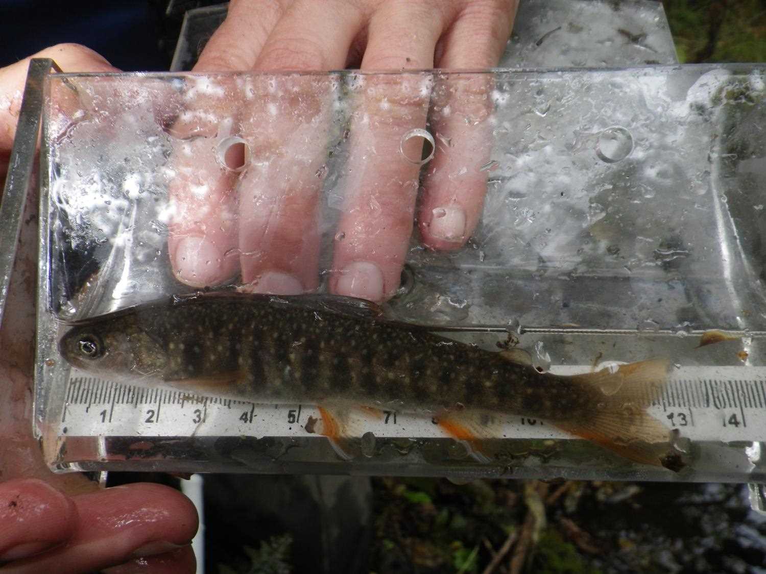
Fish Sampling Efforts
No fish sampling occurred during this survey.
Fish Observations
No fish observations occurred during this survey.
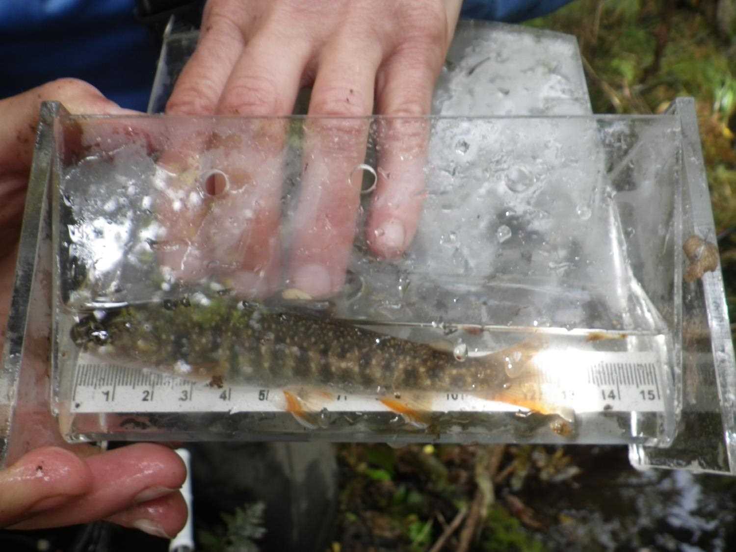
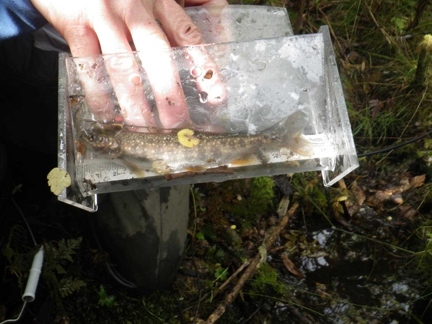
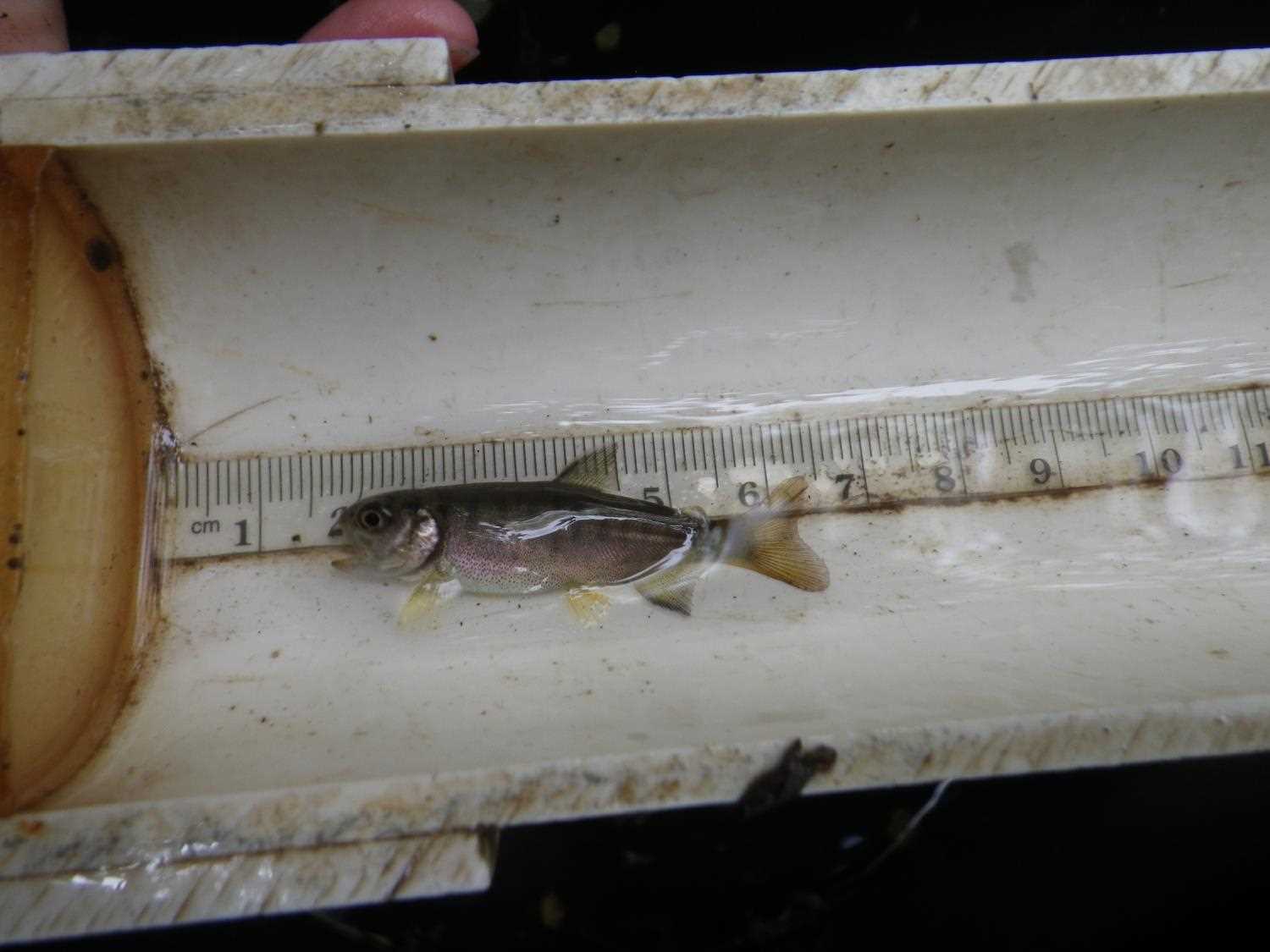
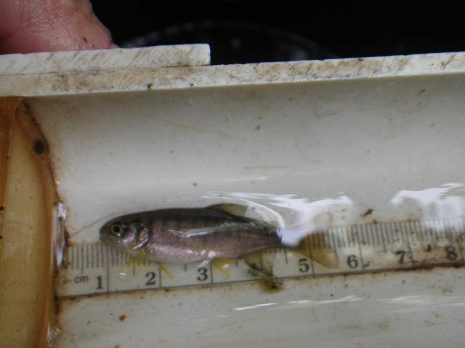
Photos
Questions or comments about this report can be directed to dfg.dsf.webmaster@alaska.gov