Fish Passage Site 20502074
Coordinates (dec. deg.): 61.69886°, -149.30252°
Legal Description: S019N001E32
Region: South Central
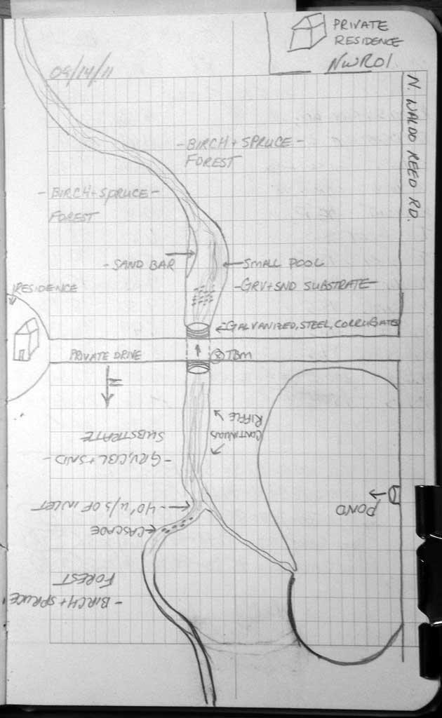
Road Name: North Waldo Reed Road
Datum: NAD83
Quad Name / ITM: Anchorage C-7
AWC Stream #:
Stream Name:
Elevation:
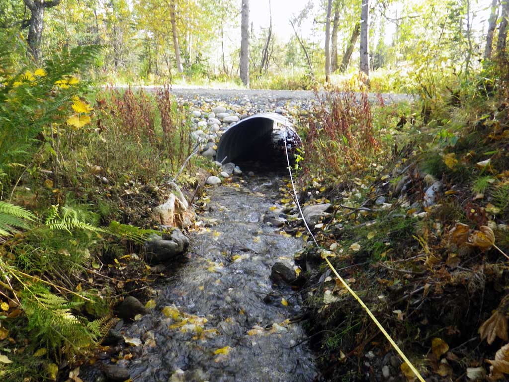
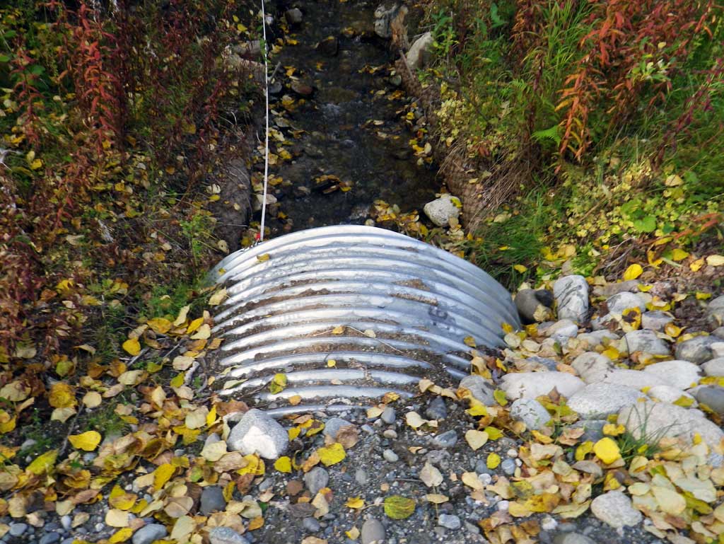
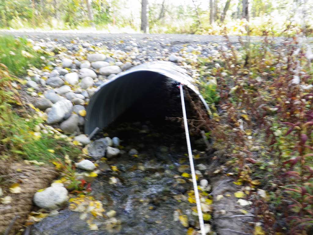
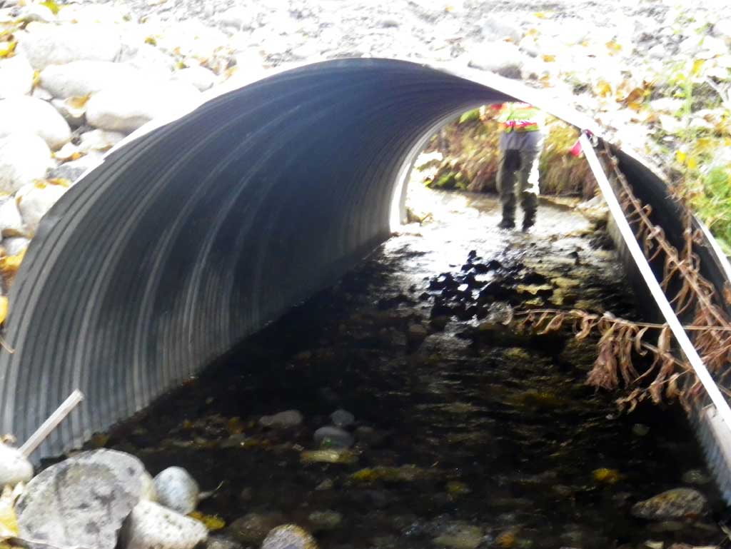
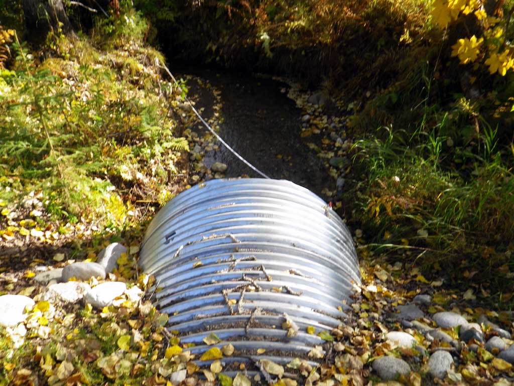
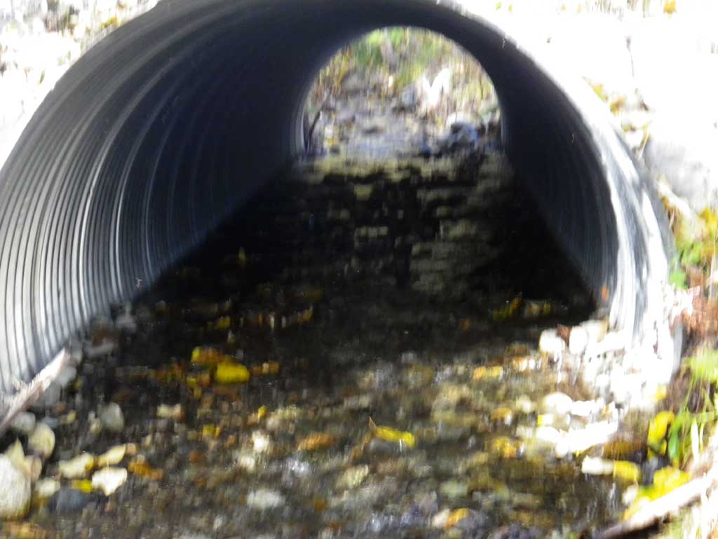
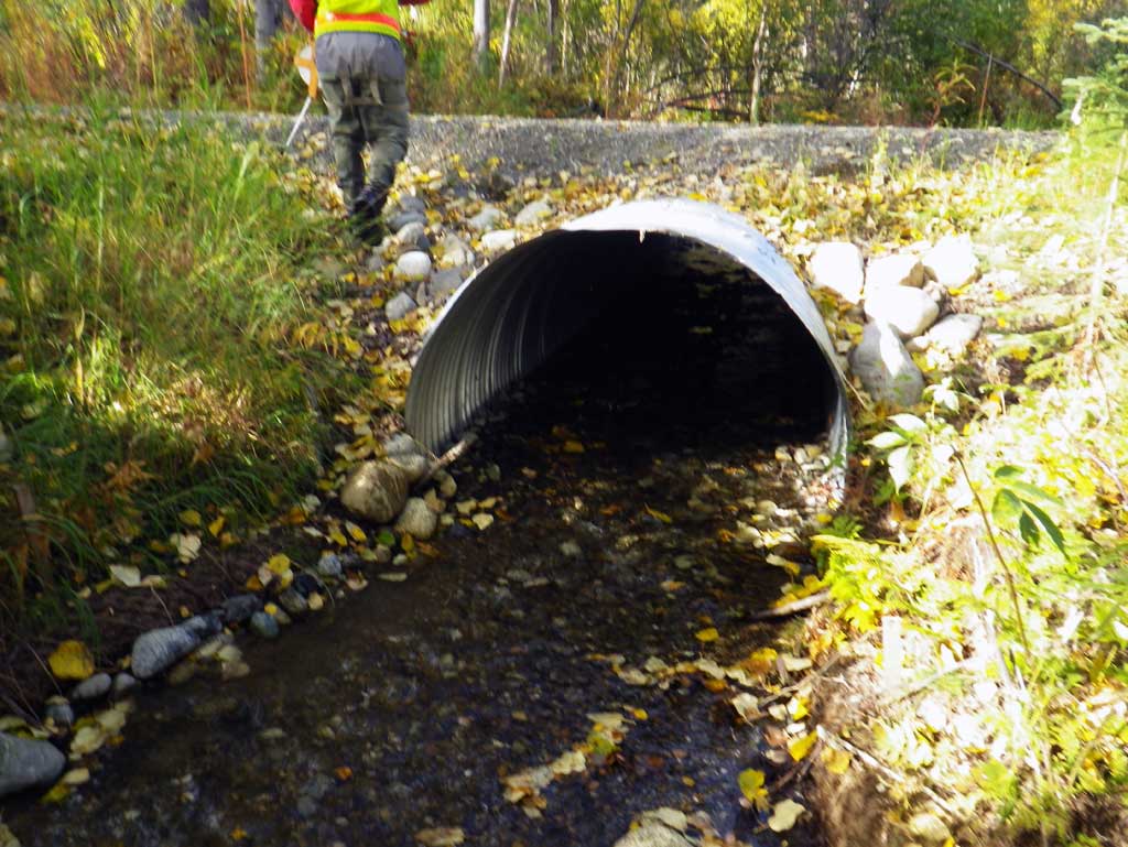
Site Comments: New culvert.
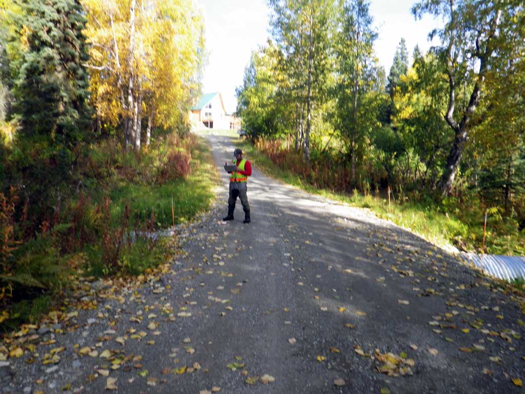
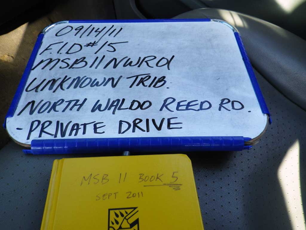
Survey MSB11-NWR01
Project Supervisor: Gillian O'Doherty, Alaska Department of Fish and Game
— Anchorage, AK
Observers: Abraham Gioffre, Jim Latham
Overall Fish Passage Rating:
Tidal: No
Backwatered: No
Step Pools: No
Construction Year: 2010
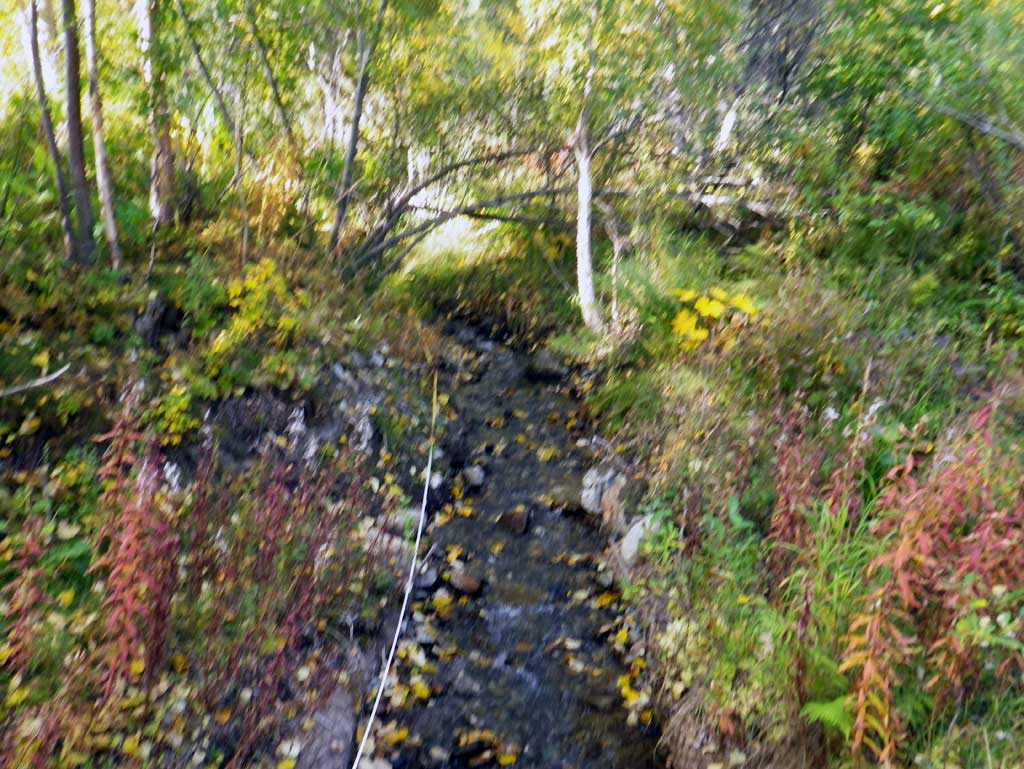
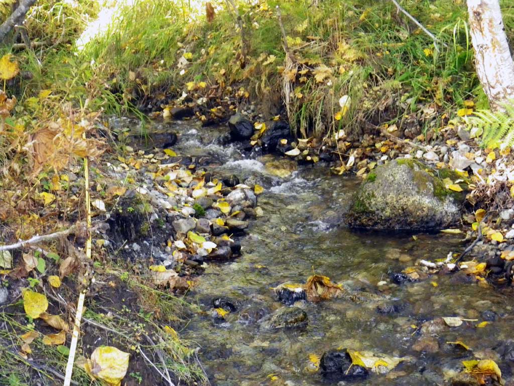
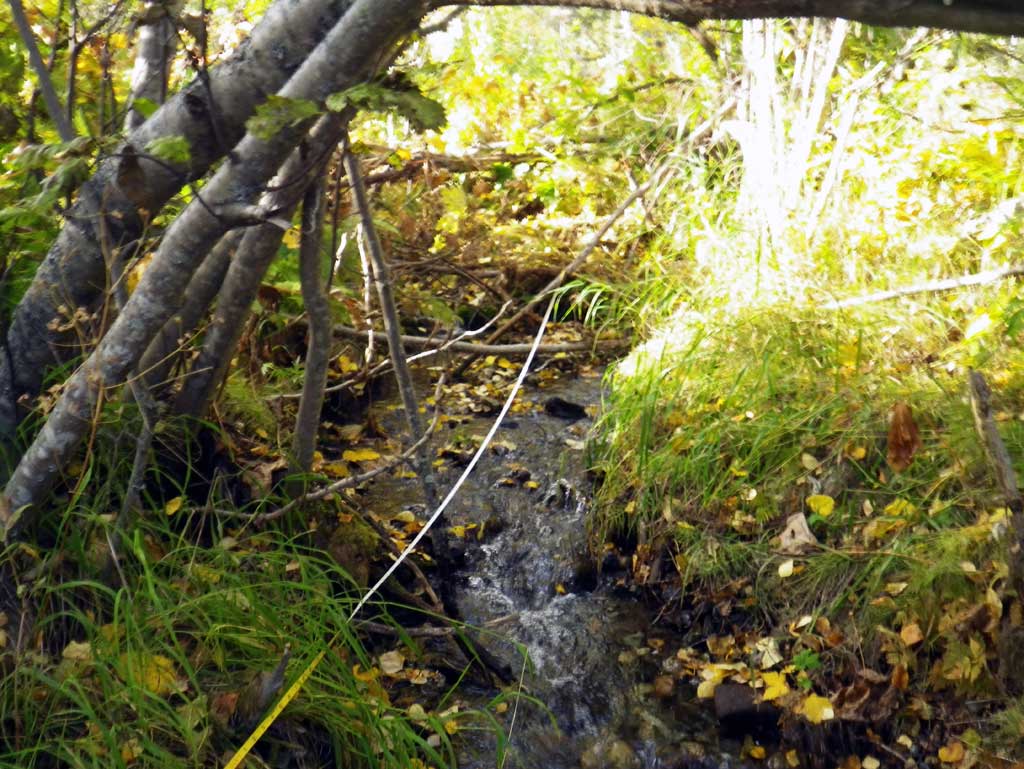
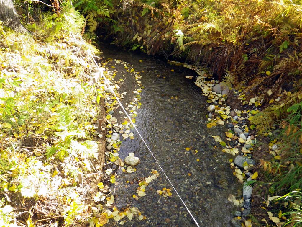
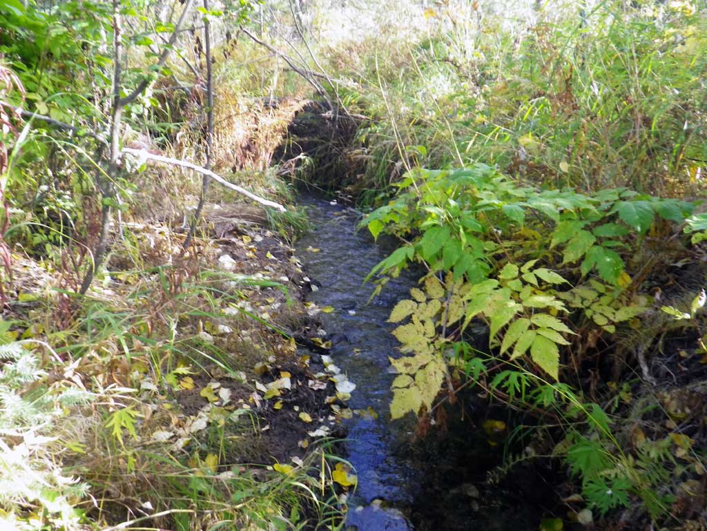
Comments: A new site on North Waldo Reed Road. Culvert was a newly installed pipe with stream restoration done on the channel as well. Channel is a small drainage which receives drainage from a secondary channel about 45' upst and a small pond. Some small pools are present formed by woody debris and roots.
Culvert Measurements
| ID: 1 | Structure Type: Circular pipe (Corrugated steel) | Fish Passage Rating: | ||||||||||||||||||||||||||||||||||||||||||
|
|
|
||||||||||||||||||||||||||||||||||||||||||
Culvert Observations:
|
||||||||||||||||||||||||||||||||||||||||||||
Stream Measurements
|
|
| Stream Width Type | Distance From Crossing (ft) |
Stream Width (ft) |
|---|---|---|
| Upstream ordinary high water | 55.0 | 2.80 |
| Upstream ordinary high water | 68.0 | 2.90 |
| Upstream ordinary high water | 111.0 | 3.20 |
Elevations
| Locator ID | Culvert Number |
River Distance (ft)1 |
Distance From Crossing (ft)2 |
Relative Elevation (ft) |
|---|---|---|---|---|
| D/S Thalweg (profile pt) | 0.00 | 93.91 | ||
| D/S Water Surface Elev | 0.00 | 94.46 | ||
| Outlet Invert (on substrate) | 45.00 | 94.69 | ||
| D/S Water Surface Elev (outlet water surface) | 45.00 | 94.91 | ||
| Outlet Culvert Top | 45.00 | 98.80 | ||
| Road Elev | 60.00 | 100.46 | ||
| Inlet Culvert Top | 75.50 | 99.48 | ||
| Inlet Culvert Invert (on substrate) | 75.50 | 95.48 | ||
| U/S Water Surface Elev (inlet water surface) | 75.50 | 95.82 | ||
| U/S Grade Ctrl (Thalweg) (GP) | 87.50 | 96.33 | ||
| U/S Water Surface Elev | 87.50 | 96.52 | ||
| U/S Water Surface Elev (water surface for gradient) | 100.50 | 97.30 | ||
| U/S Water Surface Elev (water surface for gradient) | 155.50 | 100.46 |
Notes:
- River distance is measured continuously throughout the survey reach along the thalweg of the stream.
- Measured from each end of the crossing along the thalweg of the stream.
Fish Sampling Efforts
No fish sampling occurred during this survey.
Fish Observations
No fish observations occurred during this survey.
Photos
Questions or comments about this report can be directed to dfg.dsf.webmaster@alaska.gov