Fish Passage Site 20502072
Coordinates (dec. deg.): 61.68013°, -149.30107°
Legal Description: S018N001E05
Region: South Central
Road Name: Private Drive
Datum: NAD83
Quad Name / ITM: Anchorage C-7
AWC Stream #:
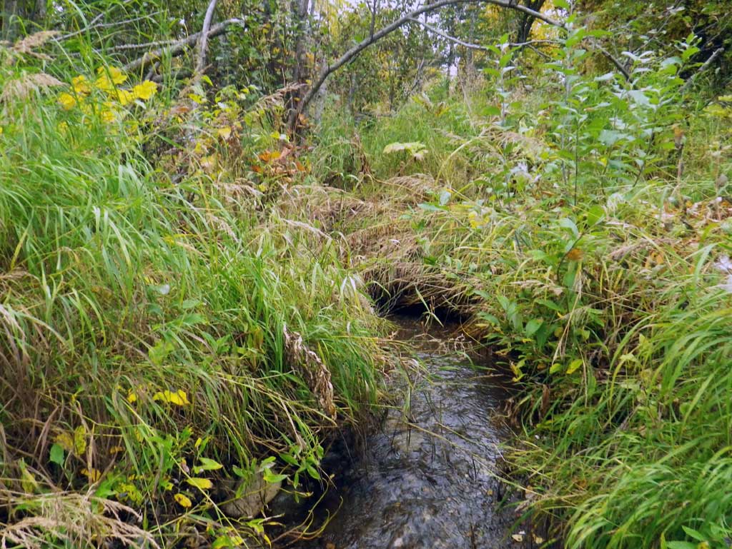
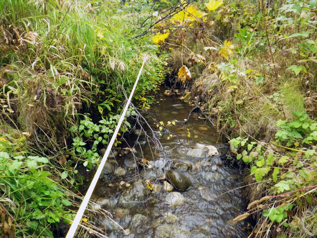
Stream Name: Little Creek
Elevation:
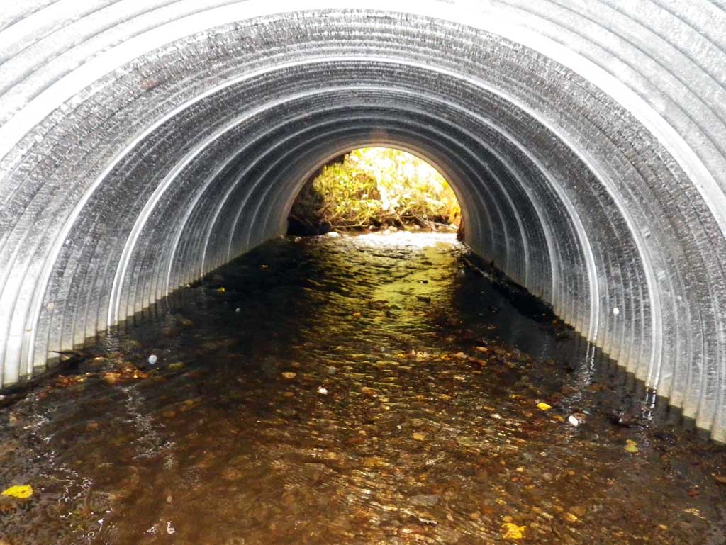
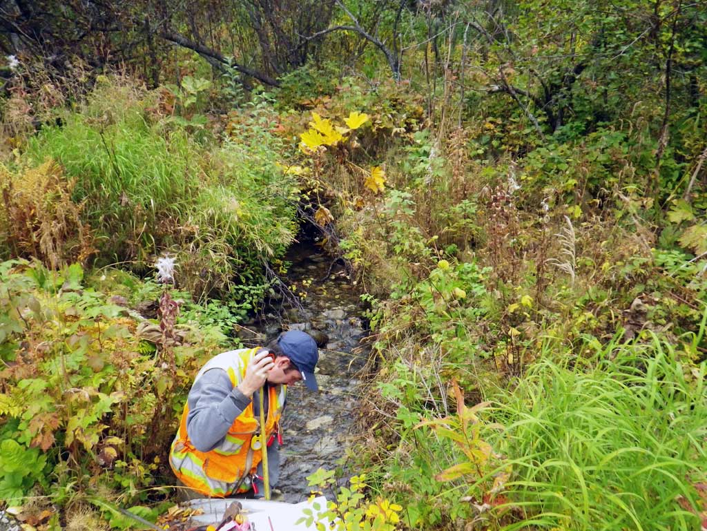
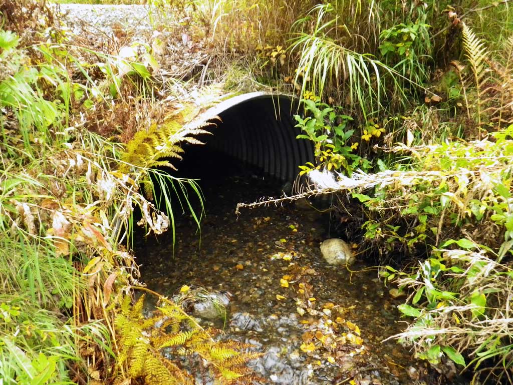
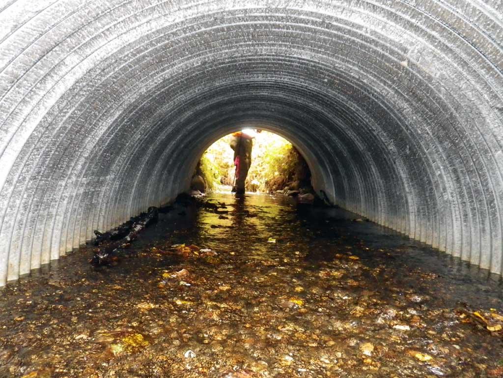
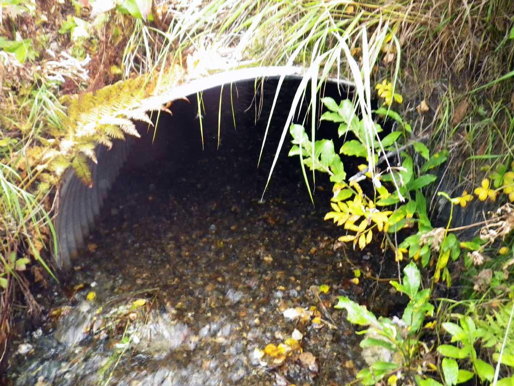
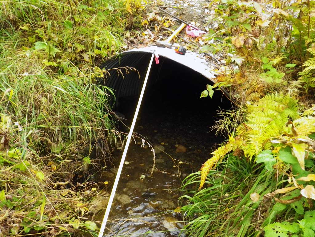
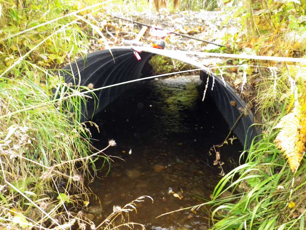
Site Comments: Culvert on private drive to the house at the Little Su Farms.
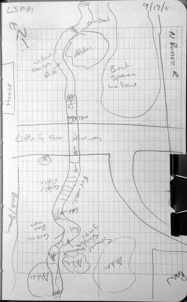
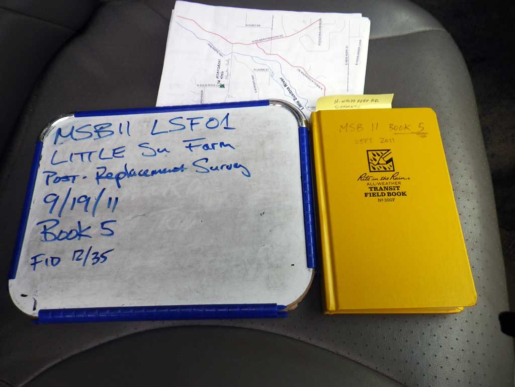
Survey MSB11-LSF01
Project Supervisor: Gillian O'Doherty, Alaska Department of Fish and Game
— Anchorage, AK
Observers: Mark Eisenman, John Greuey
Overall Fish Passage Rating:
Tidal: No
Backwatered: No
Step Pools: No
Construction Year: 2010
Site Observations:
- None of this type
Comments: Culvert replacement done a few years ago. Post-replacement survey.
Culvert Measurements
| ID: 1 | Structure Type: Circular pipe (Corrugated steel) | Fish Passage Rating: | ||||||||||||||||||||||||||||||||||||||||||
|
|
|
||||||||||||||||||||||||||||||||||||||||||
Culvert Observations:
|
||||||||||||||||||||||||||||||||||||||||||||
Stream Measurements
|
|
| Stream Width Type | Distance From Crossing (ft) |
Stream Width (ft) |
|---|---|---|
| Upstream ordinary high water | 55.0 | 4.35 |
| Upstream ordinary high water | 78.0 | 4.70 |
| Upstream ordinary high water | 110.0 | 5.20 |
Elevations
| Locator ID | Culvert Number |
River Distance (ft)1 |
Distance From Crossing (ft)2 |
Relative Elevation (ft) |
|---|---|---|---|---|
| D/S Grade Ctrl (Thalweg) (GP) | 0.00 | 95.91 | ||
| D/S Water Surface Elev | 0.00 | 96.28 | ||
| D/S Grade Ctrl (Thalweg) (GP) | 16.00 | 96.34 | ||
| D/S Water Surface Elev | 16.00 | 96.46 | ||
| Outlet Invert (on substrate) | 36.00 | 96.75 | ||
| D/S Water Surface Elev (outlet water surface) | 36.00 | 96.93 | ||
| Outlet Culvert Top | 36.00 | 100.00 | ||
| Road Elev | 46.00 | 101.38 | ||
| Inlet Culvert Top | 56.40 | 100.39 | ||
| U/S Water Surface Elev (inlet water surface) | 56.40 | 97.20 | ||
| Inlet Culvert Invert (on substrate) | 56.40 | 96.78 | ||
| U/S Grade Ctrl (Thalweg) (GP) | 68.40 | 97.20 | ||
| U/S Water Surface Elev (used for stream grad) | 68.40 | 97.43 | ||
| U/S Grade Ctrl (Thalweg) (GP) | 104.40 | 97.89 | ||
| U/S Water Surface Elev | 104.40 | 98.25 | ||
| U/S Grade Ctrl (Thalweg) (GP) | 166.40 | 98.88 | ||
| U/S Water Surface Elev | 166.40 | 98.95 | ||
| U/S Water Surface Elev (used for stream grad) | 186.40 | 99.09 | ||
| U/S Grade Ctrl (Thalweg) (GP) | 186.40 | 98.47 |
Notes:
- River distance is measured continuously throughout the survey reach along the thalweg of the stream.
- Measured from each end of the crossing along the thalweg of the stream.
Fish Sampling Efforts
No fish sampling occurred during this survey.
Fish Observations
No fish observations occurred during this survey.
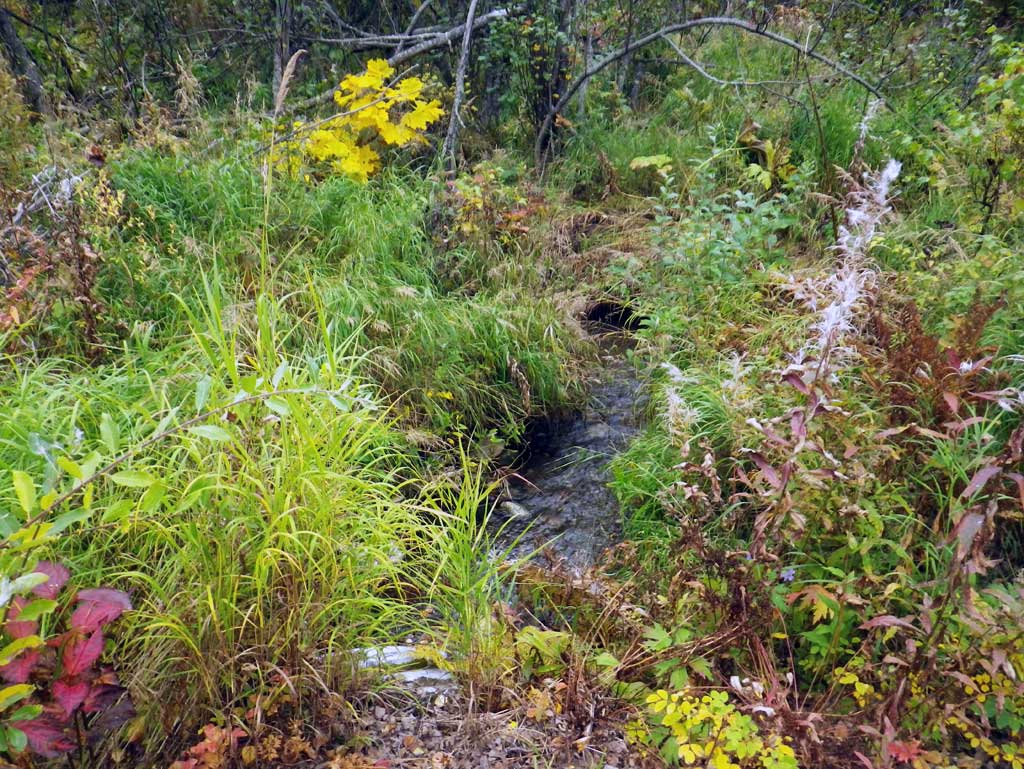
Photos
Questions or comments about this report can be directed to dfg.dsf.webmaster@alaska.gov