Fish Passage Site 20502071
Coordinates (dec. deg.): 61.69472°, -149.26093°
Legal Description: S019N001E34
Region: South Central
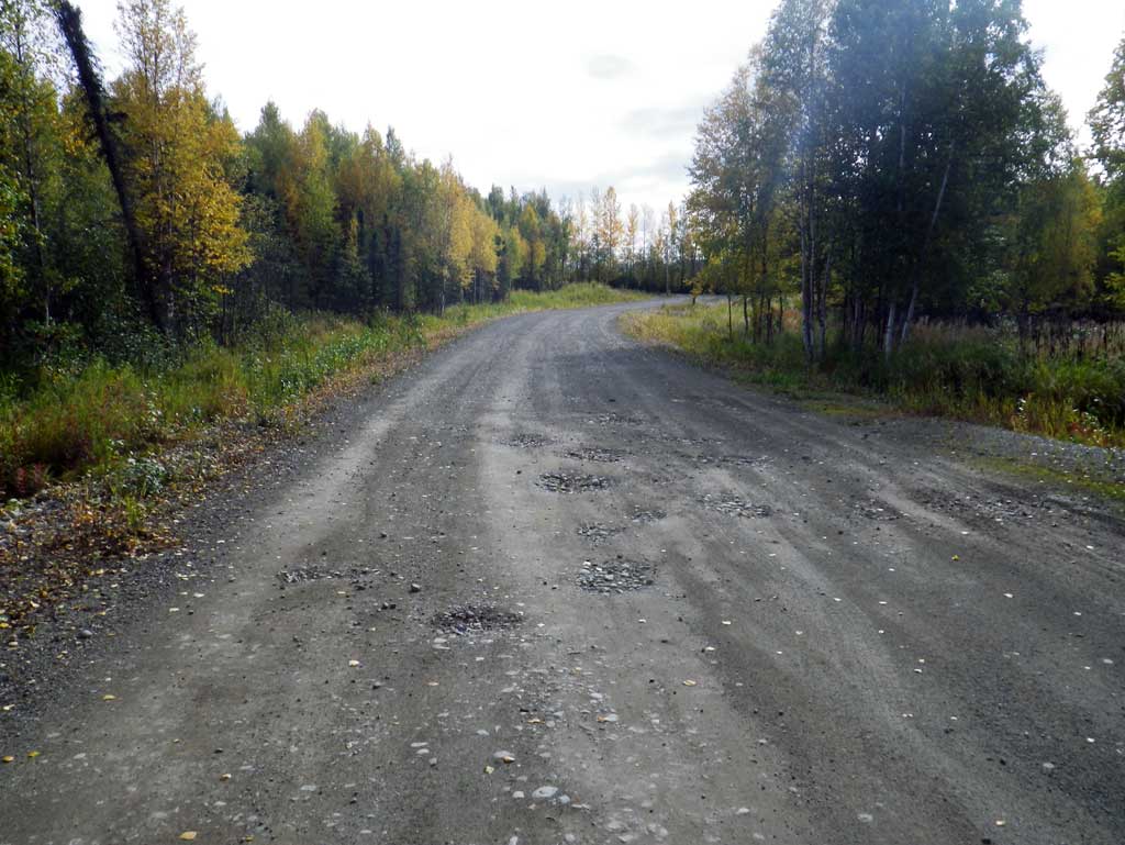
Road Name: North Solid Rock Circle
Datum: NAD83
Quad Name / ITM: Anchorage C-7
AWC Stream #:
Stream Name:
Elevation:
Site Comments: None
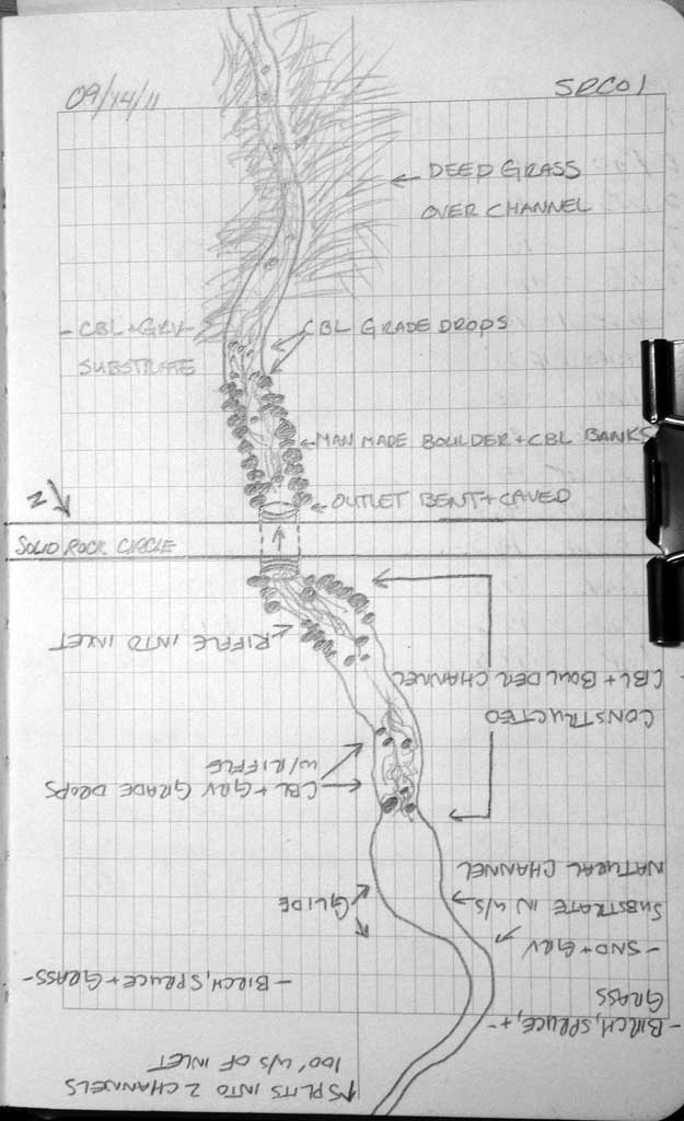
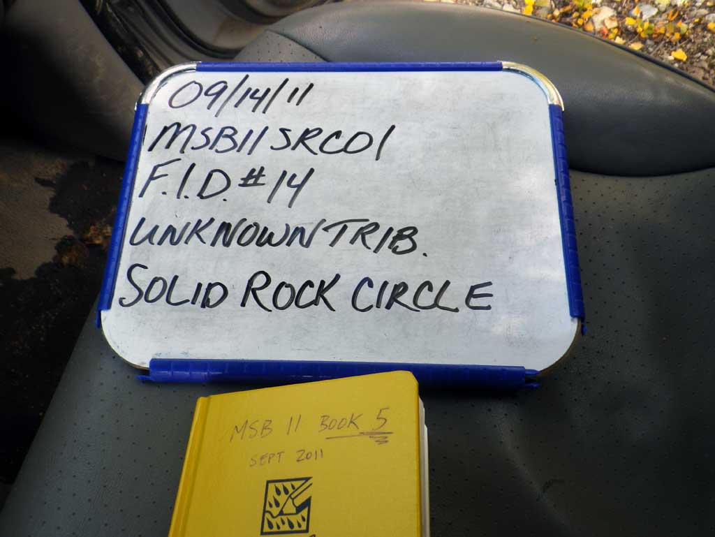
Survey MSB11-SRC01
Project Supervisor: Gillian O'Doherty, Alaska Department of Fish and Game
— Anchorage, AK
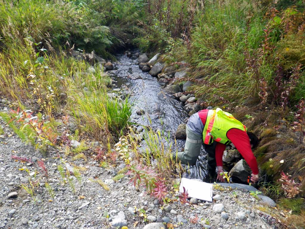
Observers: Abraham Gioffre, Jim Latham
Overall Fish Passage Rating:
Tidal: No
Backwatered: No
Step Pools: No
Construction Year:
Site Observations:
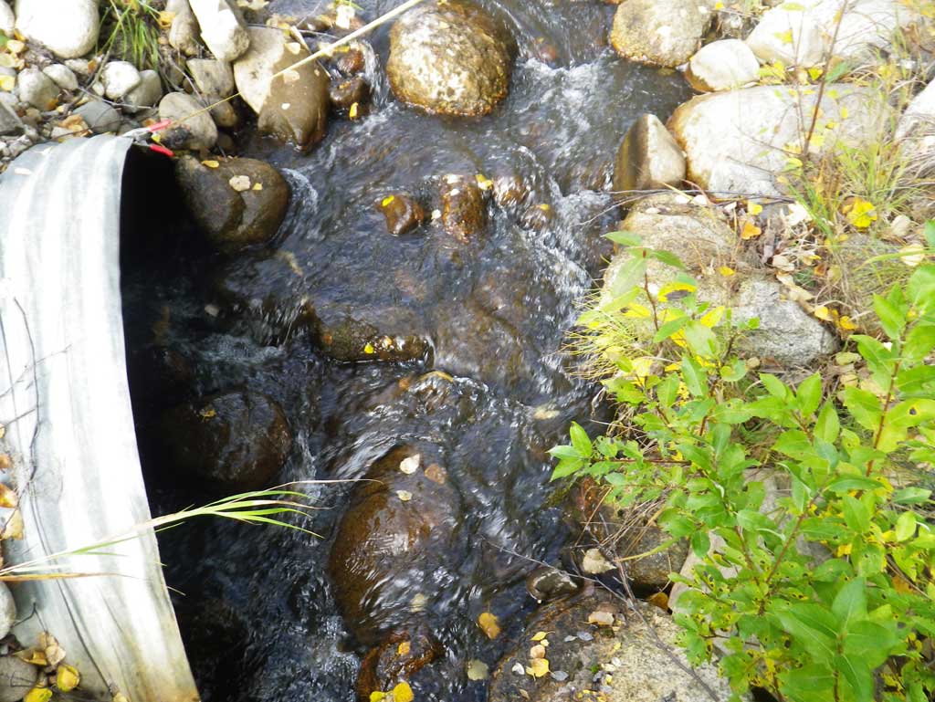
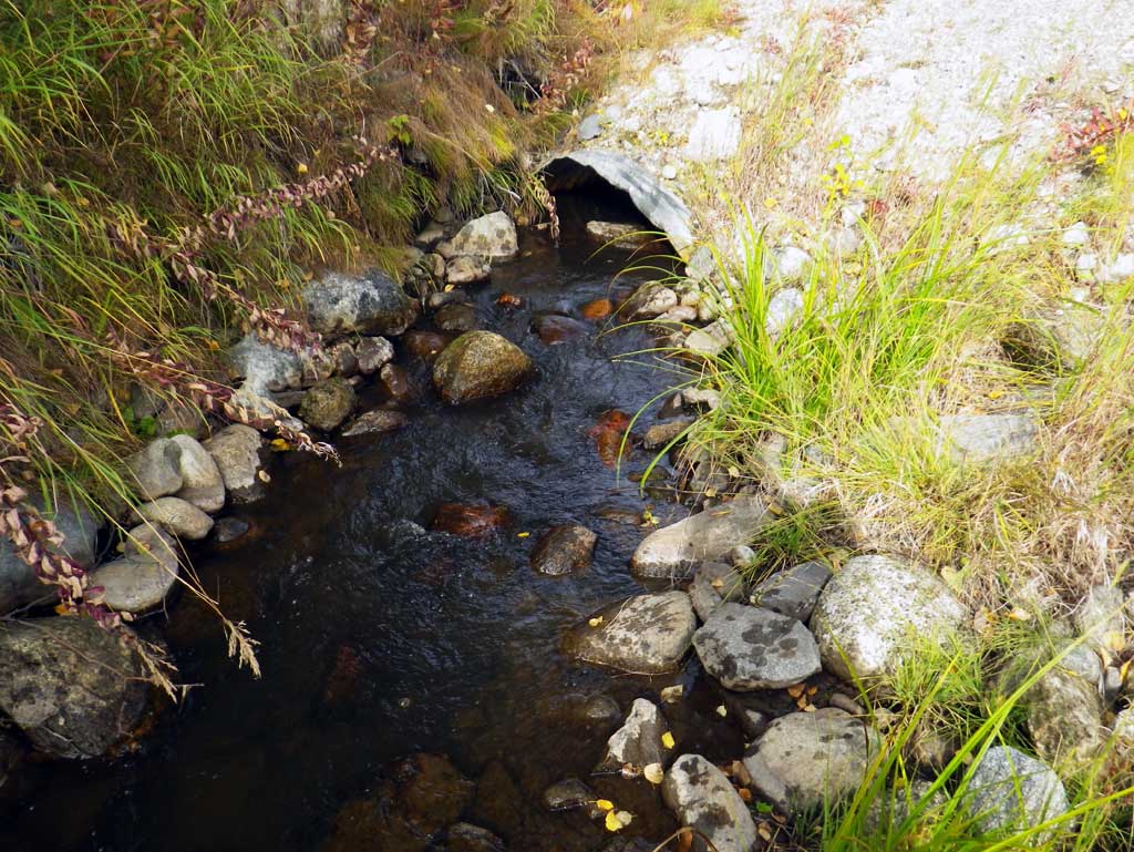
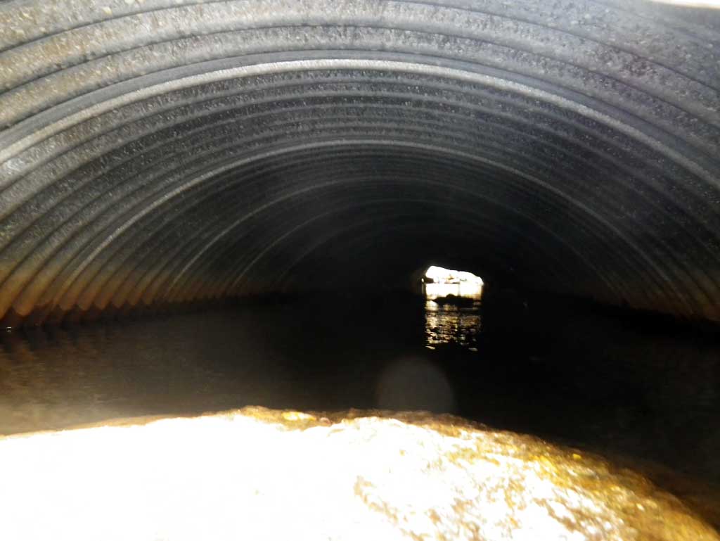
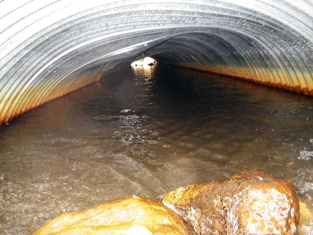
- Culvert gradient gray
- Culvert is too short
- Culvert is poorly aligned
- Mechanical damage or joints parting
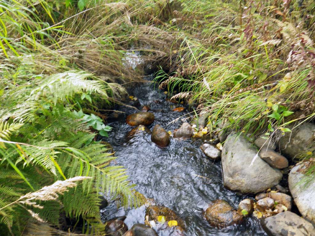
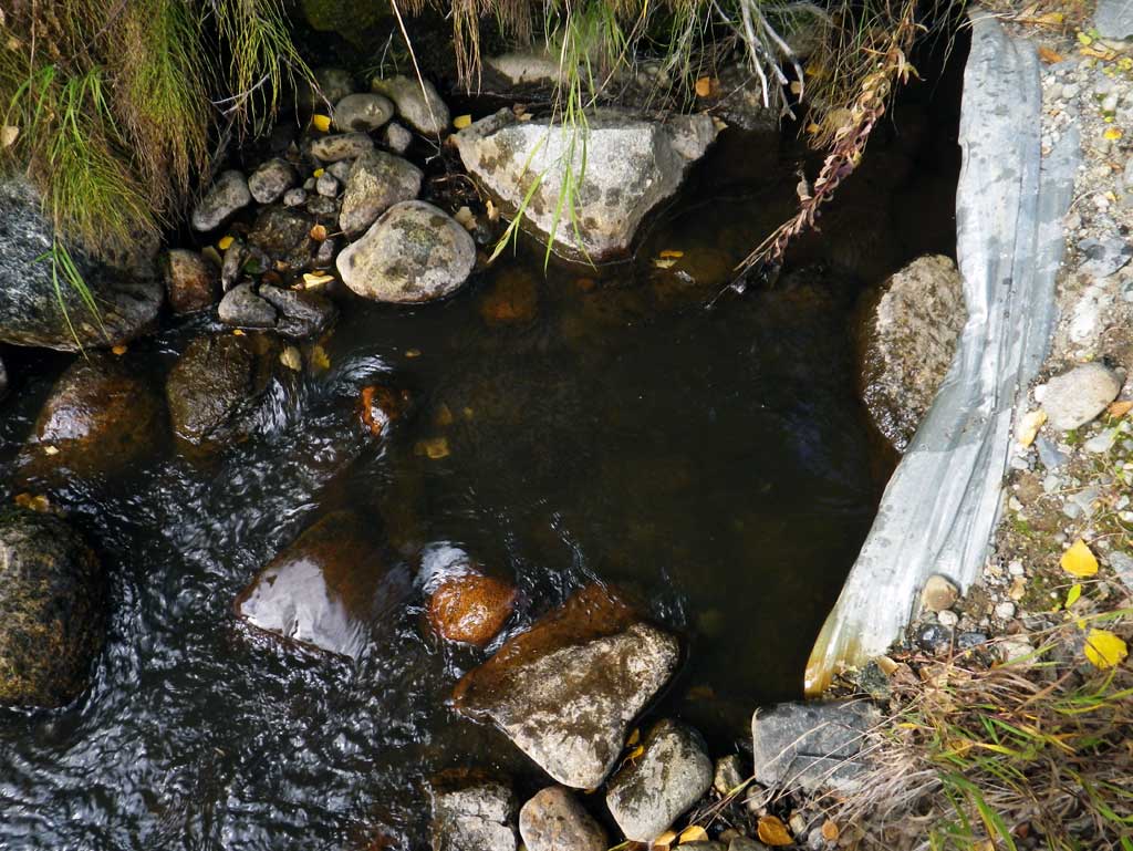
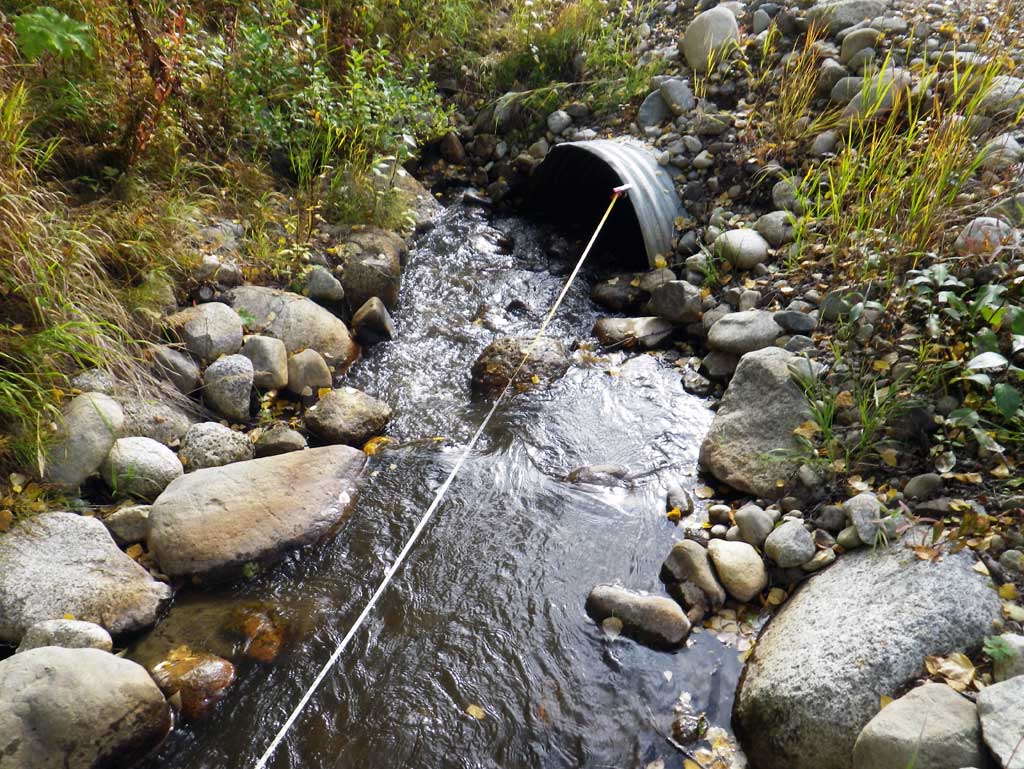
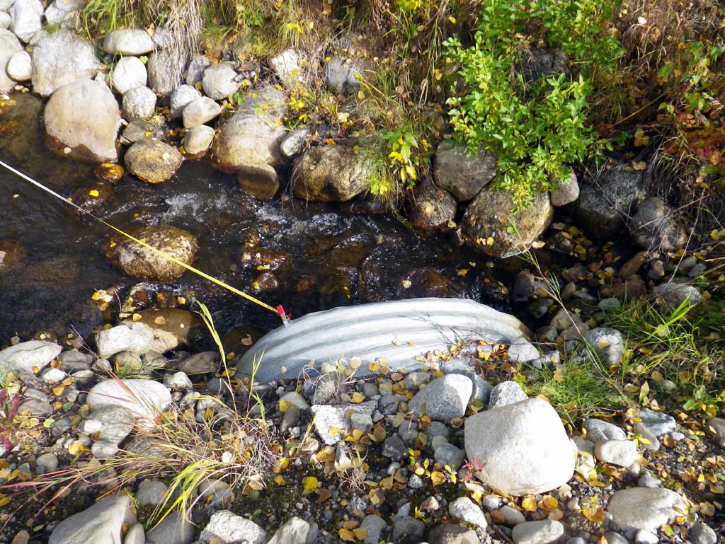
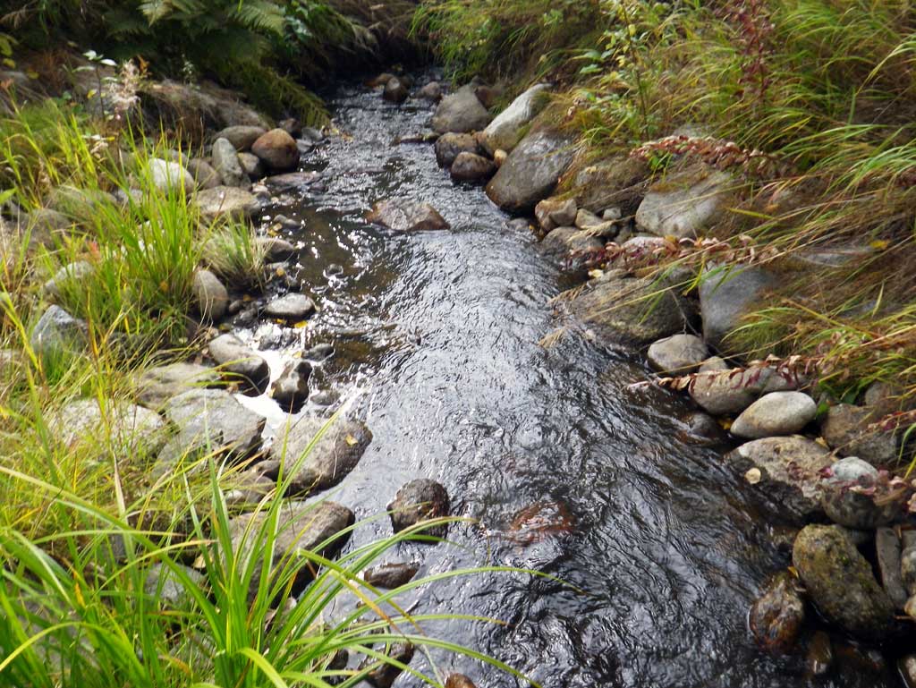
Comments: upst area relatively steep and the dwst channel is relatively narrow and then splits about 100' dwst. Pipe has a slight bend near the outlet so length was measured with a tape.
Culvert Measurements
| ID: 1 | Structure Type: Circular pipe (Corrugated steel) | Fish Passage Rating: | ||||||||||||||||||||||||||||||||||||||||||
|
|
|
||||||||||||||||||||||||||||||||||||||||||
Culvert Observations:
|
||||||||||||||||||||||||||||||||||||||||||||
Stream Measurements
|
|
| Stream Width Type | Distance From Crossing (ft) |
Stream Width (ft) |
|---|---|---|
| Upstream ordinary high water | 40.0 | 4.70 |
| Upstream ordinary high water | 70.0 | 3.80 |
| Upstream ordinary high water | 91.0 | 4.20 |
Elevations
| Locator ID | Culvert Number |
River Distance (ft)1 |
Distance From Crossing (ft)2 |
Relative Elevation (ft) |
|---|---|---|---|---|
| D/S Grade Ctrl (Thalweg) (GP) | 0.00 | 97.85 | ||
| D/S Water Surface Elev | 0.00 | 98.43 | ||
| D/S Water Surface Elev | 16.00 | 98.69 | ||
| D/S Tailcrest or 1st Thalweg (Tailwater control) | 16.00 | 98.12 | ||
| D/S Water Surface Elev | 18.00 | 98.71 | ||
| Max Pool Depth (max pool) | 18.00 | 97.90 | ||
| Outlet Invert (invert on substrate) | 20.00 | 97.95 | ||
| D/S Water Surface Elev (outlet water surface) | 20.00 | 98.71 | ||
| Outlet Culvert Top | 20.00 | 100.03 | ||
| Road Elev | 45.00 | 102.47 | ||
| Inlet Culvert Top | 70.30 | 100.76 | ||
| U/S Water Surface Elev (inlet water surface) | 70.30 | 98.77 | ||
| Inlet Culvert Invert (invert on substrate) | 70.30 | 98.60 | ||
| U/S Thalweg (Tailcrest) (GP at top of riffle) | 77.30 | 99.09 | ||
| U/S Water Surface Elev | 77.30 | 99.56 | ||
| U/S Water Surface Elev | 86.30 | 100.08 | ||
| U/S Grade Ctrl (Thalweg) (GP at step pool) | 86.30 | 99.48 | ||
| U/S Water Surface Elev (water surface for gradient) | 94.30 | 100.56 | ||
| U/S Water Surface Elev (water surface for gradient) | 163.30 | 100.64 |
Notes:
- River distance is measured continuously throughout the survey reach along the thalweg of the stream.
- Measured from each end of the crossing along the thalweg of the stream.
Fish Sampling Efforts
No fish sampling occurred during this survey.
Fish Observations
No fish observations occurred during this survey.
Photos
Questions or comments about this report can be directed to dfg.dsf.webmaster@alaska.gov