Fish Passage Site 20502069
Coordinates (dec. deg.): 63.11294°, -147.50929°
Legal Description: F021S001E11
Region: South Central
Road Name: Valdez Mining District Road
Datum: NAD83
Quad Name / ITM: Healy A-2
AWC Stream #:
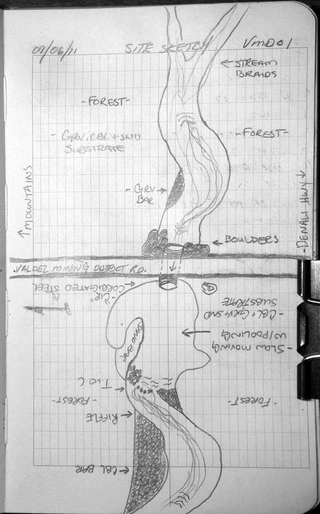
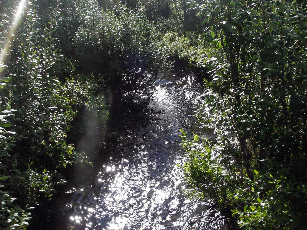
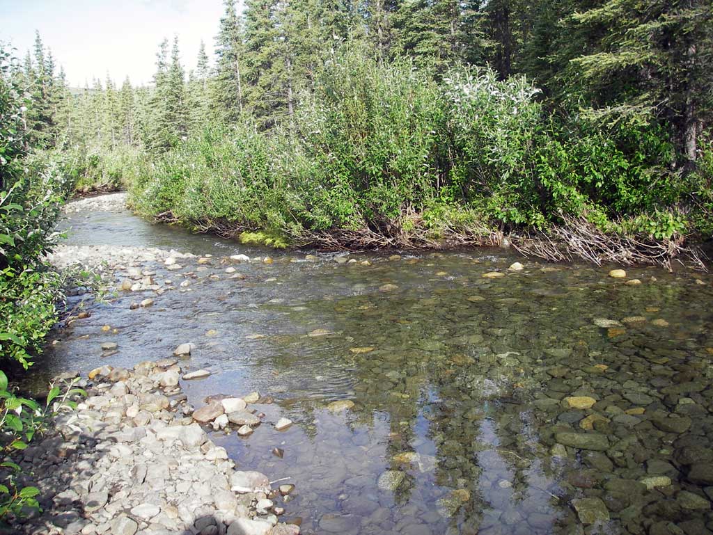
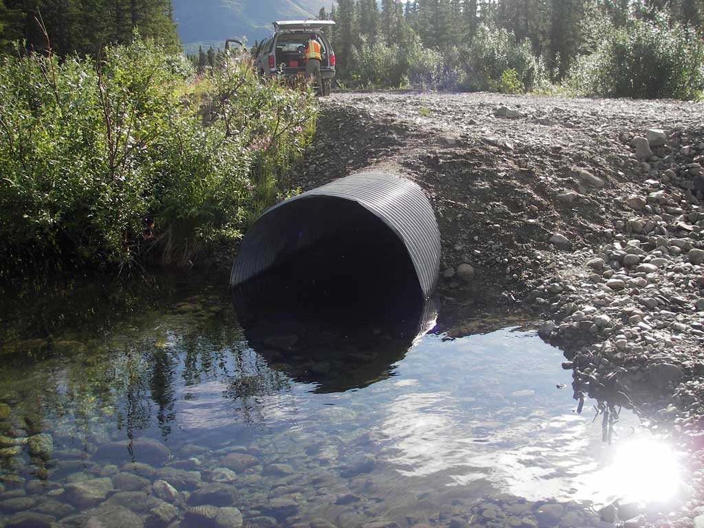
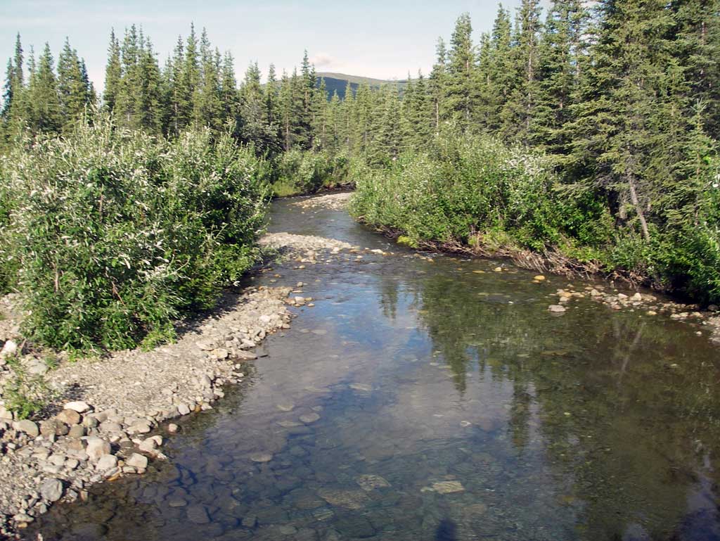
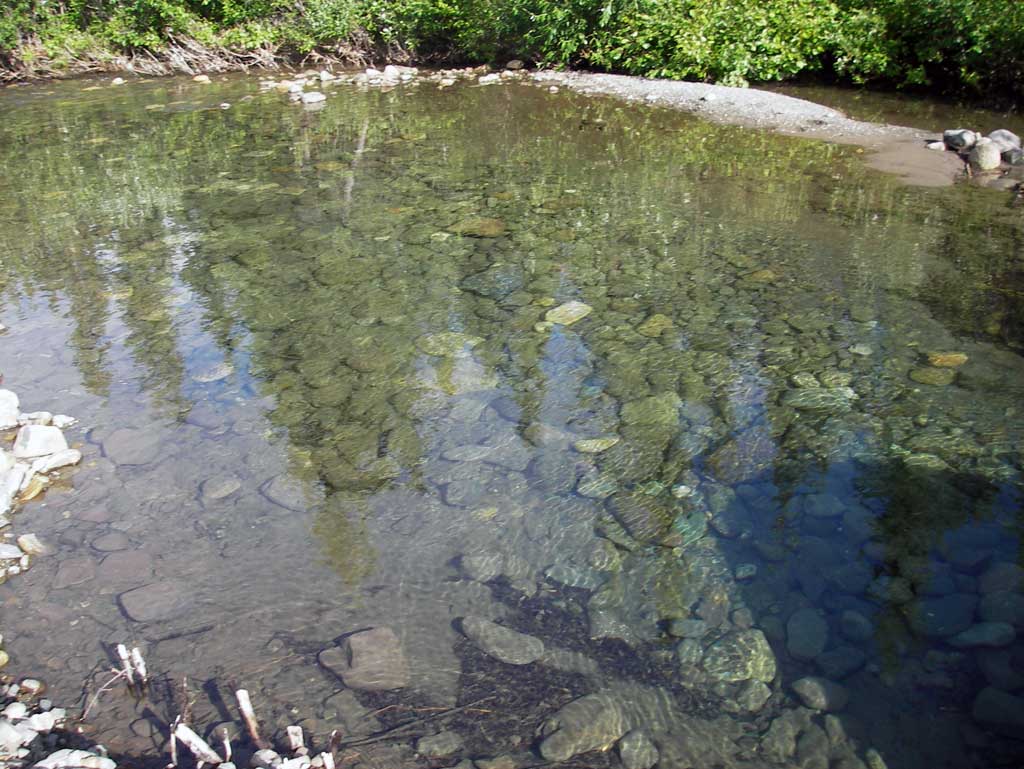
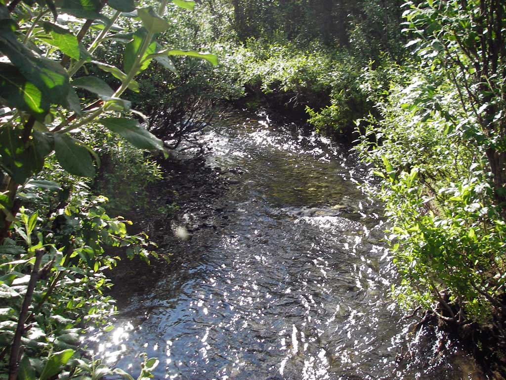
Stream Name: Windy Creek
Elevation:
Site Comments: None
arrow to the right of the survey date below to choose a different report for this site.
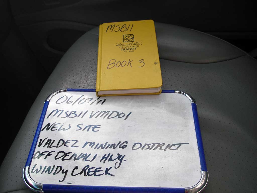
Survey MSB11-VMD01
Project Supervisor: Gillian O'Doherty, Alaska Department of Fish and Game
— Anchorage, AK
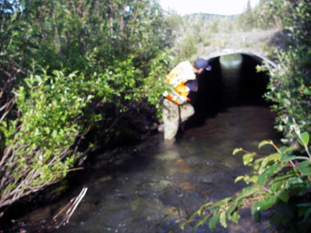
Observers: John Greuey, Abraham Gioffre
Overall Fish Passage Rating:
Tidal: No
Backwatered: No
Step Pools: No
Construction Year:
Site Observations:
- Constriction ratio red
- Culvert sagging in middle
- Culvert gradient gray
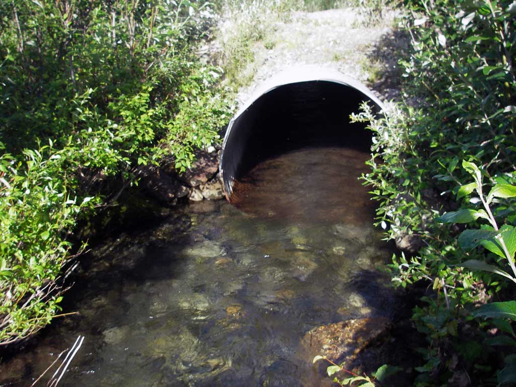
Comments: Creek appears to be a braided off shoot channel of Windy Creek.
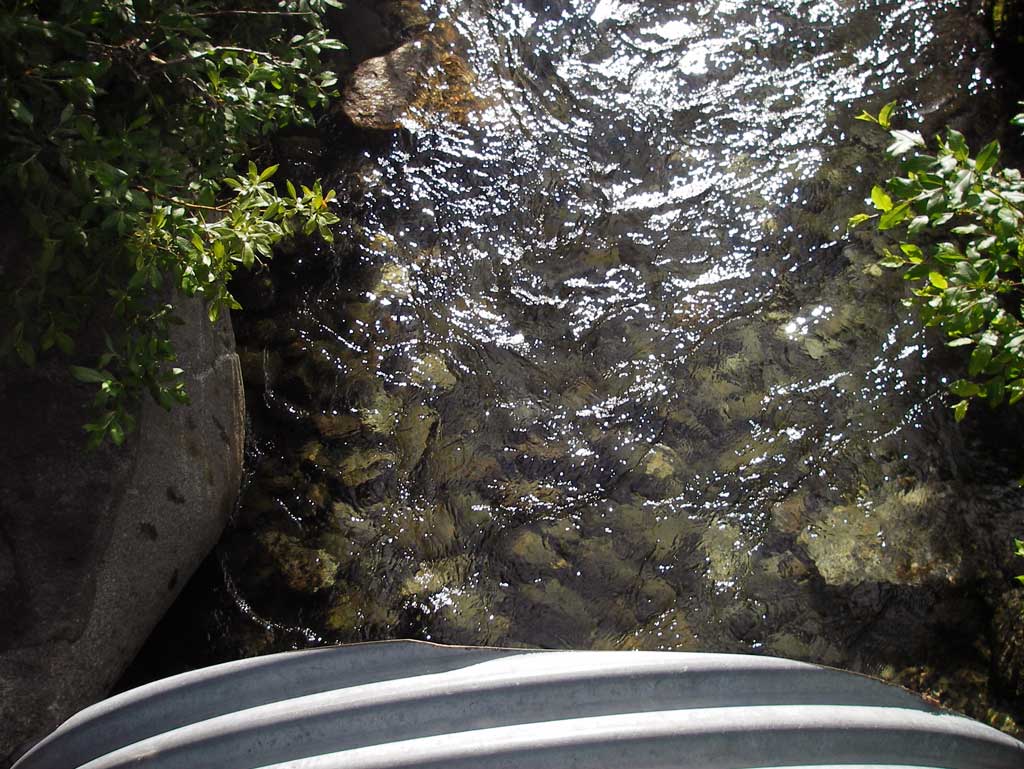
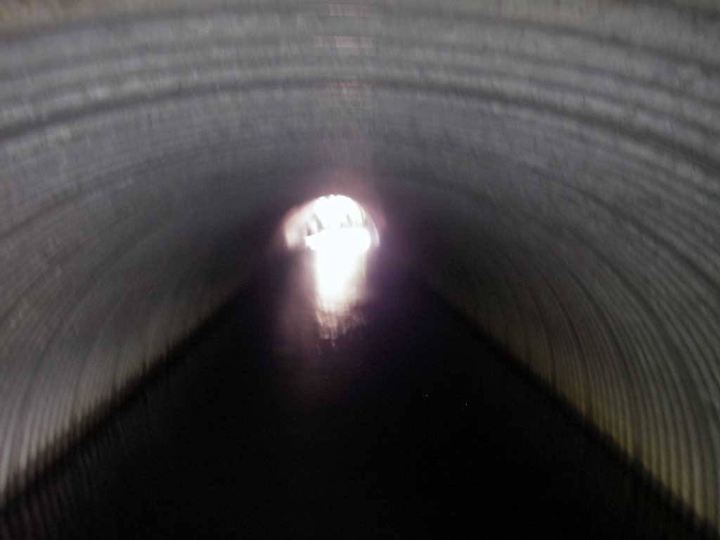
Culvert Measurements
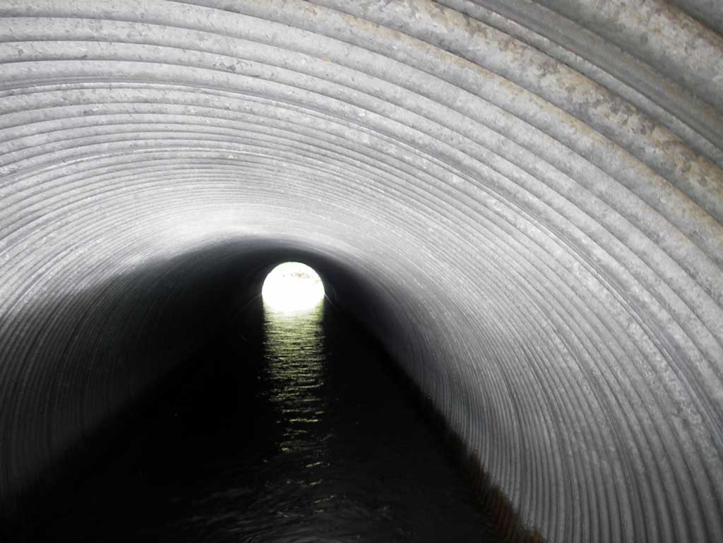
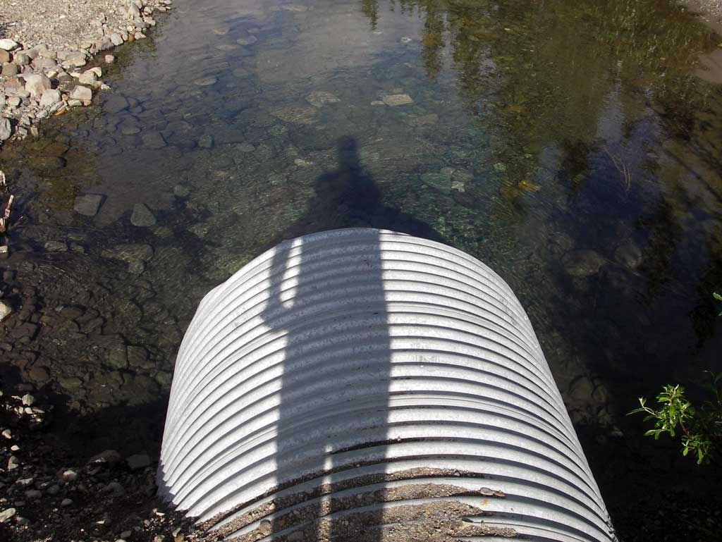
| ID: 1 | Structure Type: Circular pipe (Corrugated steel) | Fish Passage Rating: | |||||||||||||||||||||||||||||||||||||||||
|
|
|
|||||||||||||||||||||||||||||||||||||||||
Culvert Observations:
|
|||||||||||||||||||||||||||||||||||||||||||
Stream Measurements
|
|
| Stream Width Type | Distance From Crossing (ft) |
Stream Width (ft) |
|---|---|---|
| Downstream ordinary high water | 80.0 | 26.50 |
| Downstream ordinary high water | 122.0 | 24.80 |
| Downstream ordinary high water | 153.0 | 21.40 |
Elevations
| Locator ID | Culvert Number |
River Distance (ft)1 |
Distance From Crossing (ft)2 |
Relative Elevation (ft) |
|---|---|---|---|---|
| D/S Thalweg (Profile point in middle of glide) | 0.00 | 93.37 | ||
| D/S Water Surface Elev | 0.00 | 94.29 | ||
| Max Pool Depth (Profile point in pool) | 30.00 | 93.31 | ||
| D/S Water Surface Elev | 30.00 | 94.51 | ||
| D/S Grade Ctrl (Thalweg) (Top of riffle) | 102.00 | 95.11 | ||
| D/S Water Surface Elev | 102.00 | 95.87 | ||
| D/S Tailcrest or 1st Thalweg (Tail water control) | 190.00 | 96.60 | ||
| D/S Water Surface Elev (Tail water surface) | 190.00 | 97.25 | ||
| Outlet Pool Water Elev (Water surface at outlet max pool) | 236.00 | 97.33 | ||
| Max Pool Depth (Outlet pool max pool depth, on cobble.) | 236.00 | 94.45 | ||
| Outlet Invert (On pipe) | 244.00 | 94.33 | ||
| D/S Water Surface Elev (Water surface at outlet) | 244.00 | 97.33 | ||
| Outlet Culvert Top | 244.00 | 100.28 | ||
| Road Elev | 288.00 | 102.52 | ||
| Inlet Culvert Top | 323.61 | 101.38 | ||
| U/S Water Surface Elev (Water surface at inlet) | 323.61 | 97.33 | ||
| Inlet Culvert Invert (On pipe) | 323.61 | 95.44 | ||
| U/S Thalweg (Profile point mid point of glide.) | 403.61 | 97.08 | ||
| U/S Water Surface Elev | 403.61 | 97.91 |
Notes:
- River distance is measured continuously throughout the survey reach along the thalweg of the stream.
- Measured from each end of the crossing along the thalweg of the stream.
Fish Sampling Efforts
No fish sampling occurred during this survey.
Fish Observations
No fish observations occurred during this survey.
Photos
Questions or comments about this report can be directed to dfg.dsf.webmaster@alaska.gov