Fish Passage Site 20502067
Coordinates (dec. deg.): 63.15910°, -147.48756°
Legal Description: F020S001E26
Region: South Central
Road Name: Valdez Mining District Road
Datum: NAD83
Quad Name / ITM: Healy A-1
AWC Stream #:
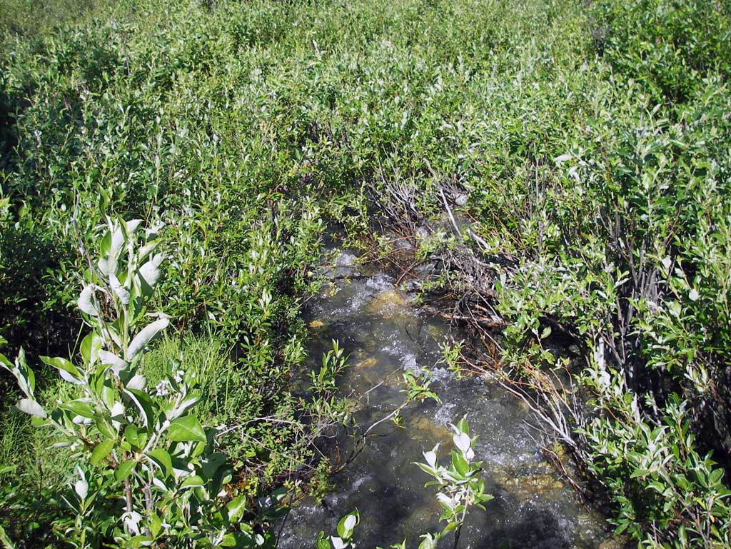
Stream Name: Susitna River tributary
Elevation:
Site Comments: None
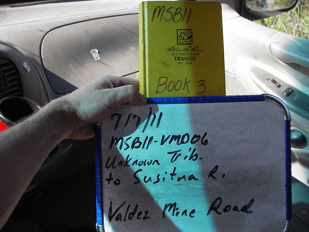
Survey MSB11-VMD06
Project Supervisor: Gillian O'Doherty, Alaska Department of Fish and Game
— Anchorage, AK
Observers: John Greuey, Abraham Gioffre
Overall Fish Passage Rating:
Tidal: No
Backwatered: No
Step Pools: No
Construction Year:
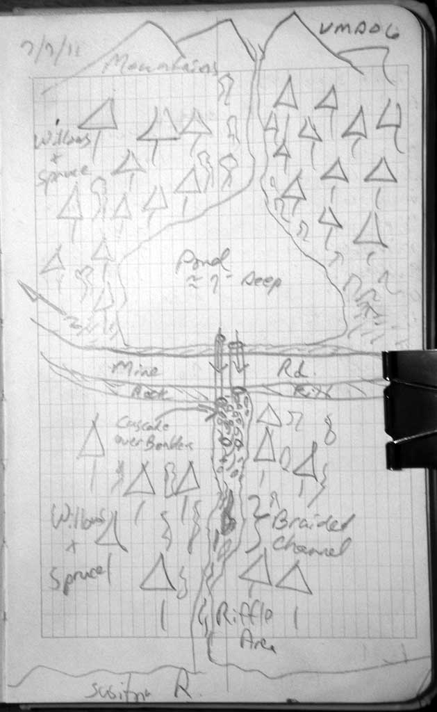
Site Observations:
- Culvert gradient red
- Outfall height red
- Constriction ratio gray
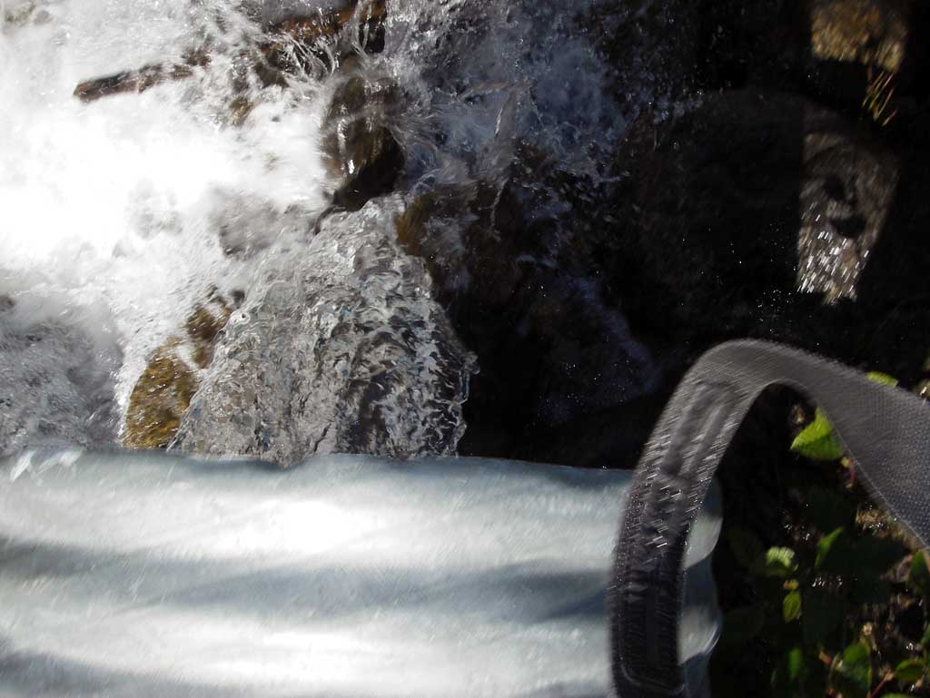
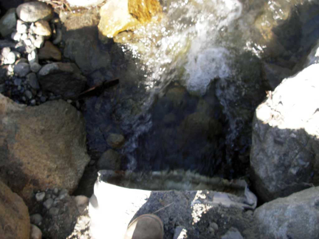
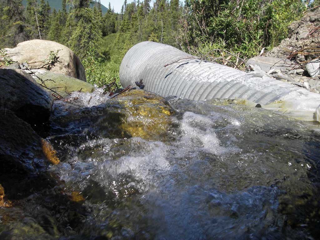
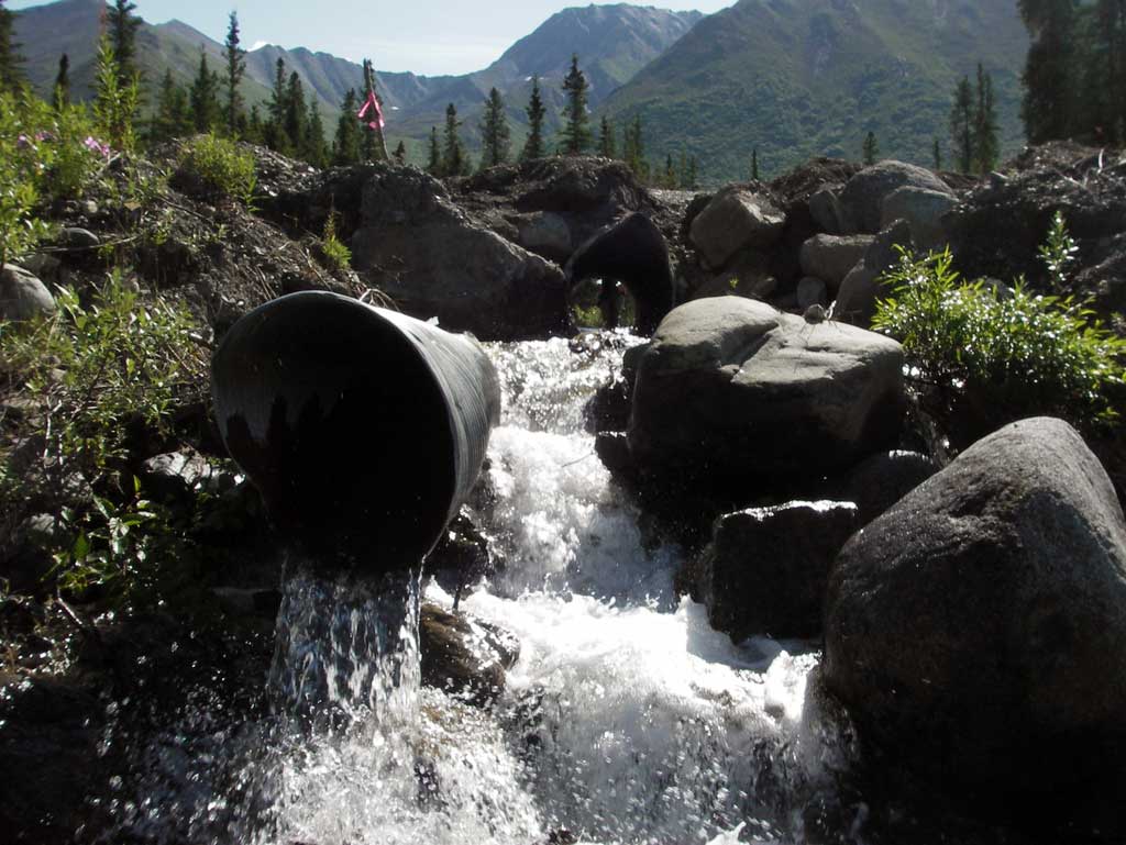
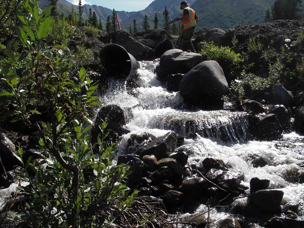
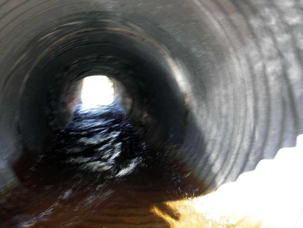
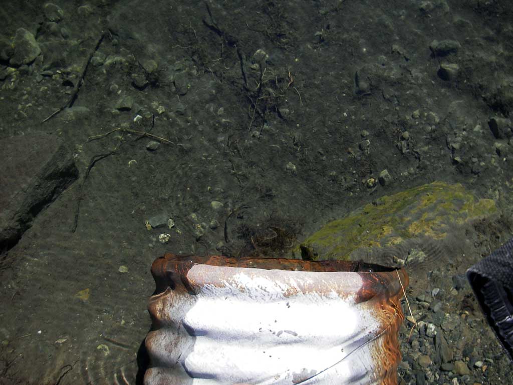
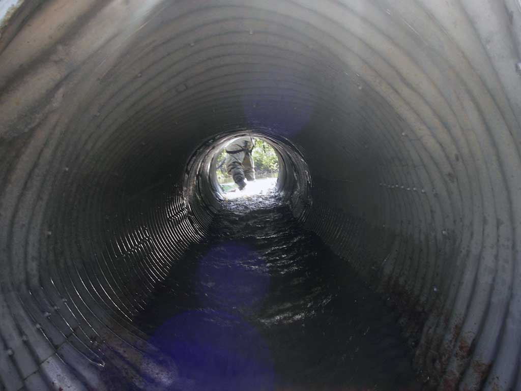
Comments: Pipe 2 is 0.20' from being completely submerged at inlet and the outlet is a free fall to cascade over rip rap. Pipe 1 outfall is a cascade over rip rap. The downstream channel is extensively braided.
Culvert Measurements
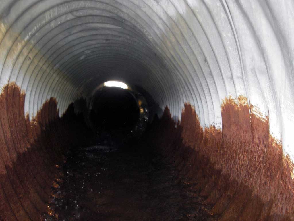
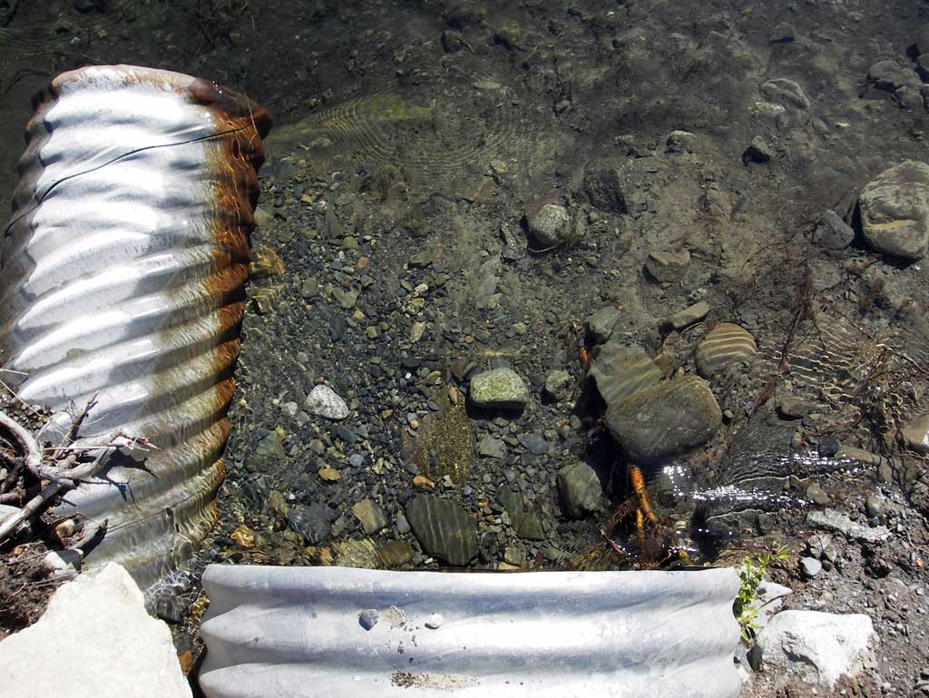
| ID: 1 | Structure Type: Circular pipe (Corrugated steel) | Fish Passage Rating: | |||||||||||||||||||||||||||||||||||||||||
|
|
|
|||||||||||||||||||||||||||||||||||||||||
Comments: Pipe 1 Outlet has a small outfall height cascading over rocks into a very shallow pool area between several rocks before a steeply graded rocky cascade starts to create a maximum gradient section. Max grad at end of pipe 1 is 32.8% over 40' and max grad at end of pipe 2 is 40.4% over 25'. |
|||||||||||||||||||||||||||||||||||||||||||
Culvert Observations:
|
|||||||||||||||||||||||||||||||||||||||||||
| ID: 2 | Structure Type: Circular pipe (Corrugated steel) | Fish Passage Rating: | |||||||||||||||||||||||||||||||||||||||||
|
|
|
|||||||||||||||||||||||||||||||||||||||||
Comments: Pipe 2 has a free fall outfall to cascade over rip rap. |
|||||||||||||||||||||||||||||||||||||||||||
Culvert Observations:
|
|||||||||||||||||||||||||||||||||||||||||||
Stream Measurements
|
|
| Stream Width Type | Distance From Crossing (ft) |
Stream Width (ft) |
|---|---|---|
| Upstream ordinary high water | 100.0 | 5.10 |
| Upstream ordinary high water | 130.0 | 4.80 |
| Upstream ordinary high water | 170.0 | 5.30 |
Elevations
| Locator ID | Culvert Number |
River Distance (ft)1 |
Distance From Crossing (ft)2 |
Relative Elevation (ft) |
|---|---|---|---|---|
| D/S Grade Ctrl (Thalweg) (Mid point of riffle) | 0.00 | 85.99 | ||
| D/S Water Surface Elev | 0.00 | 86.57 | ||
| D/S Grade Ctrl (Thalweg) (Start of downstream cascade) | 40.00 | 90.24 | ||
| D/S Water Surface Elev | 40.00 | 90.61 | ||
| Outlet Thalweg (Just outside of pipe 2 outlet) | 2 | 65.00 | 96.51 | |
| D/S Water Surface Elev | 2 | 65.00 | 96.67 | |
| Outlet Invert (On pipe) | 2 | 65.00 | 97.53 | |
| D/S Water Surface Elev (Water surface at Pipe 2 outlet invert) | 2 | 65.00 | 97.82 | |
| Outlet Culvert Top | 2 | 65.00 | 99.73 | |
| D/S Water Surface Elev | 1 | 80.00 | 99.69 | |
| D/S Water Surface Elev (Water surface at pipe 1 outlet invert) | 1 | 80.00 | 99.72 | |
| Outlet Culvert Top | 1 | 80.00 | 102.09 | |
| Outlet Thalweg (On rock substrate just outside pipe 1 outlet) | 1 | 80.00 | 99.06 | |
| Outlet Invert (On pipe) | 1 | 80.00 | 99.24 | |
| Road Elev | 90.00 | 103.58 | ||
| Inlet Culvert Top | 1 | 101.90 | 102.48 | |
| Inlet Culvert Invert (On pipe) | 1 | 101.90 | 99.94 | |
| U/S Water Surface Elev (Water surface at pipe 1 inlet invert) | 1 | 101.90 | 100.62 | |
| U/S Water Surface Elev (Water surface at pipe 2 inlet invert) | 2 | 104.50 | 100.71 | |
| Inlet Culvert Invert (On pipe) | 2 | 104.50 | 99.44 | |
| Inlet Culvert Top | 2 | 104.50 | 100.96 | |
| Max Pool Depth (Max pool depth upstream of inlet) | 114.50 | 96.26 | ||
| U/S Water Surface Elev (Water surface at upstream max pool) | 114.50 | 100.72 |
Notes:
- River distance is measured continuously throughout the survey reach along the thalweg of the stream.
- Measured from each end of the crossing along the thalweg of the stream.
Fish Sampling Efforts
No fish sampling occurred during this survey.
Fish Observations
No fish observations occurred during this survey.
Photos
Questions or comments about this report can be directed to dfg.dsf.webmaster@alaska.gov