Fish Passage Site 20502065
Coordinates (dec. deg.): 63.17720°, -147.47282°
Legal Description: F020S001E13
Region: South Central
Road Name: Valdez Mining District Road
Datum: NAD83
Quad Name / ITM: Healy A-1
AWC Stream #:
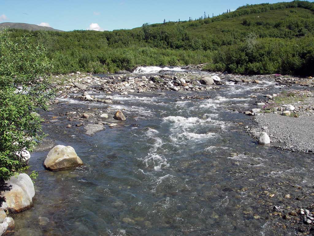
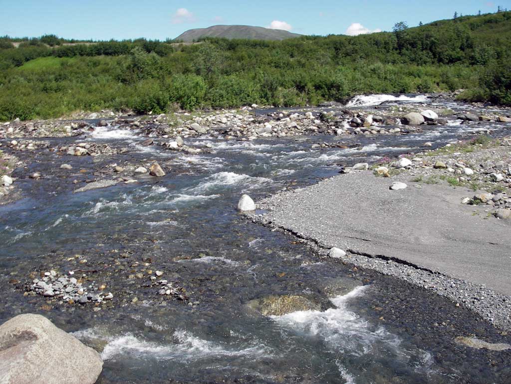
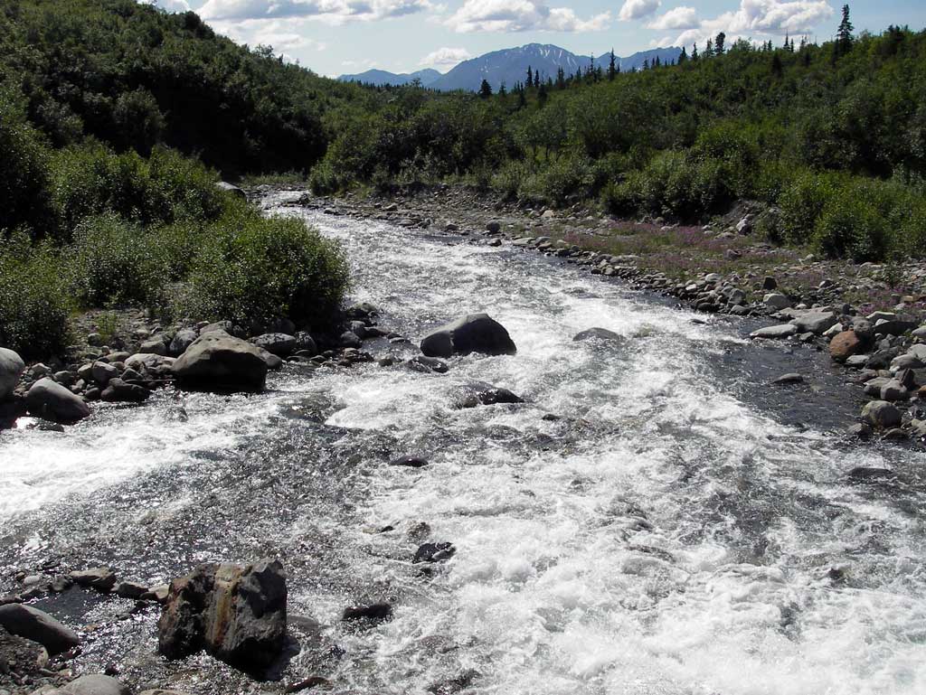
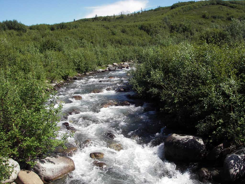
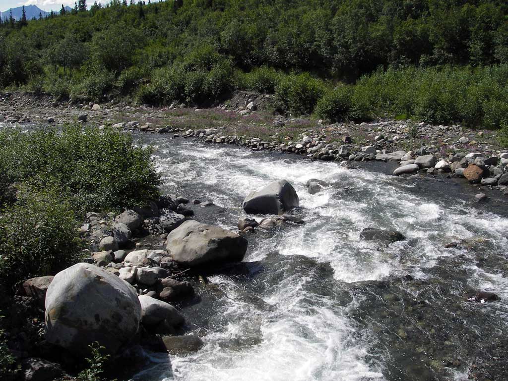
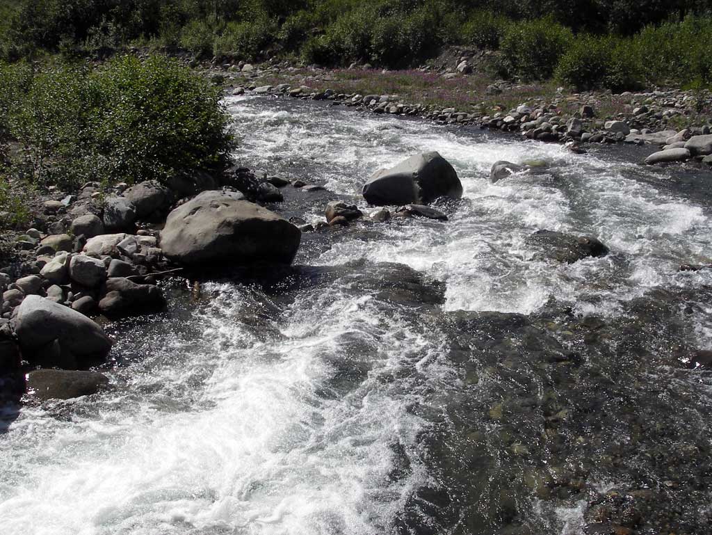
Stream Name: Valdez Creek
Elevation:
Site Comments: None
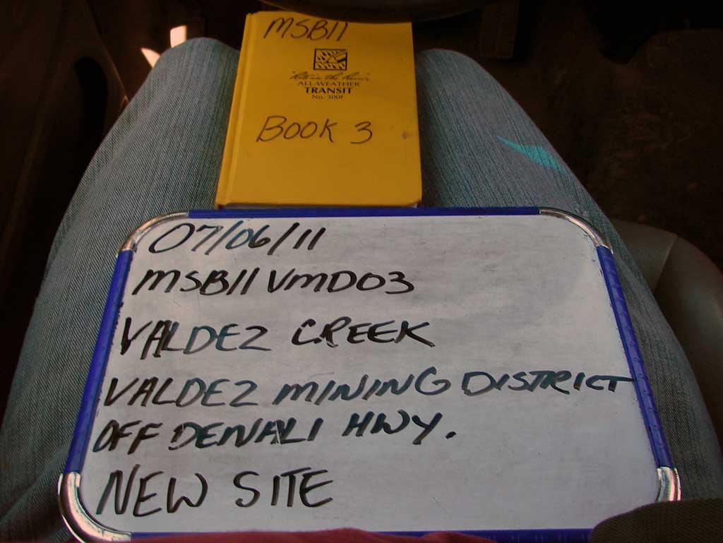
Survey MSB11-VMD03
Project Supervisor: Gillian O'Doherty, Alaska Department of Fish and Game
— Anchorage, AK
Observers: John Greuey, Abraham Gioffre
Overall Fish Passage Rating:
Tidal: No
Backwatered: No
Step Pools: No
Construction Year:
Site Observations:
- Culvert gradient red
- Hydraulic flows exceeded capacity
- Culvert sagging in middle
- Structural Problem
- Mechanical damage or joints parting
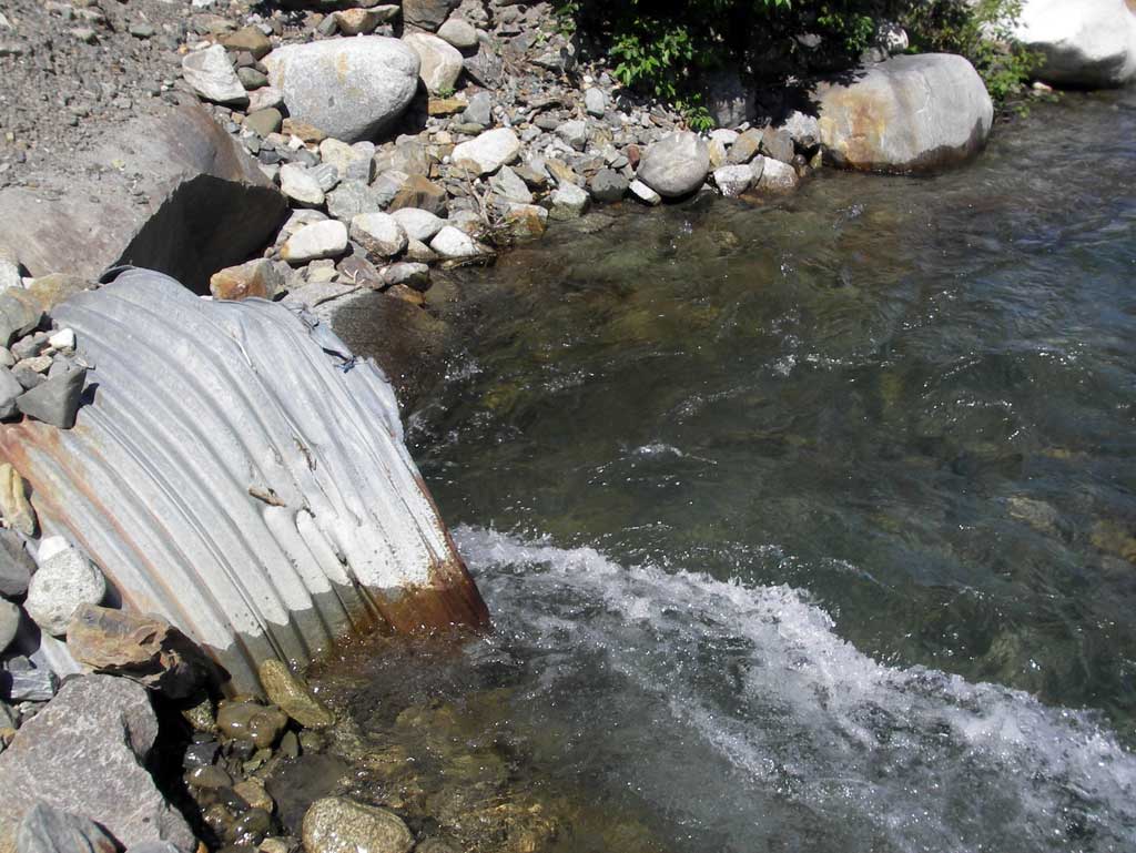
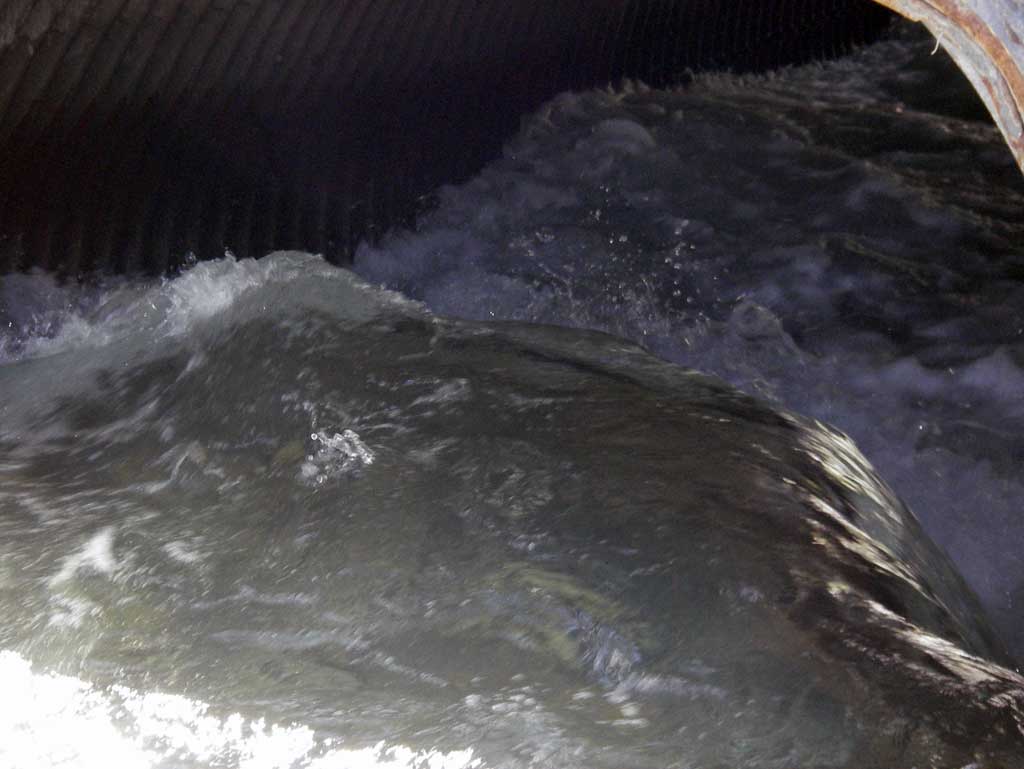
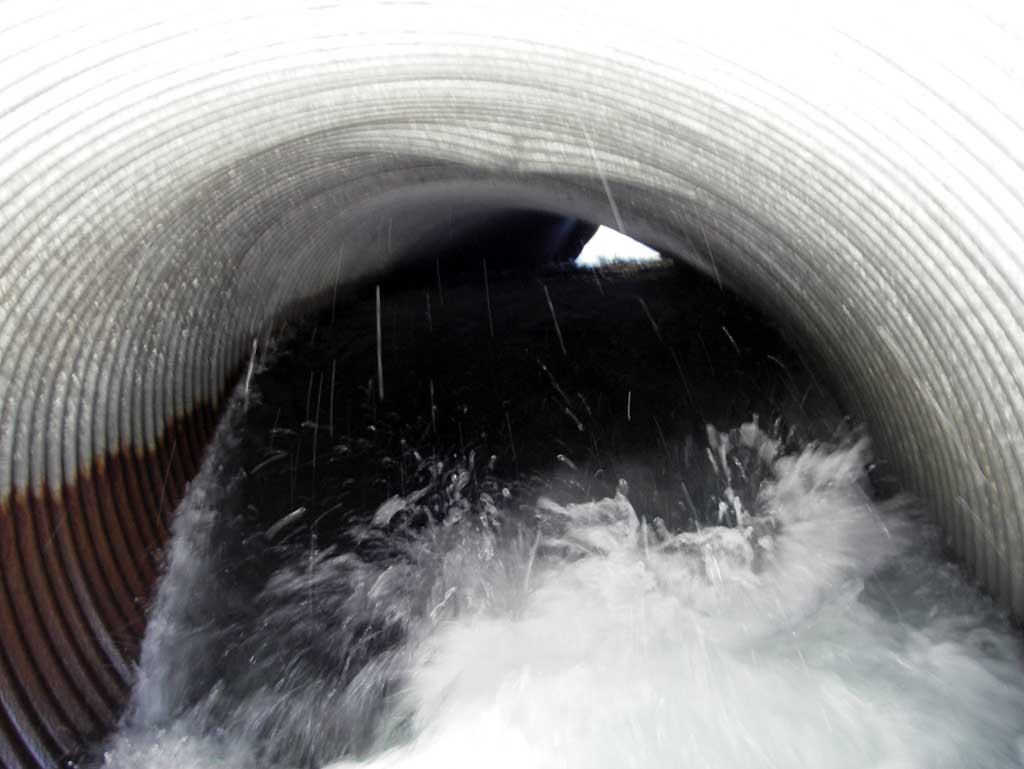
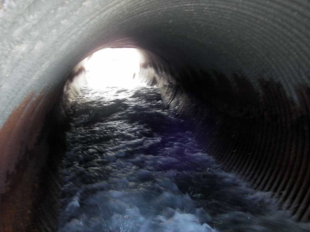
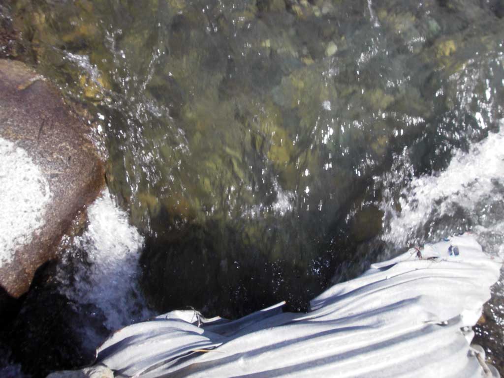
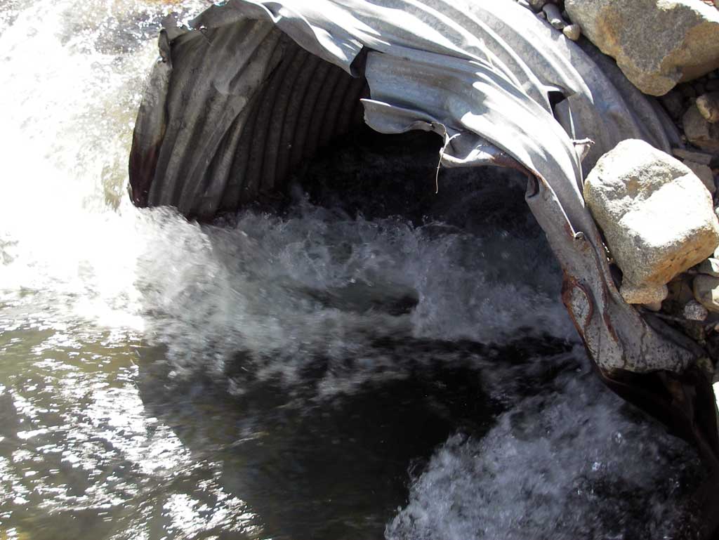
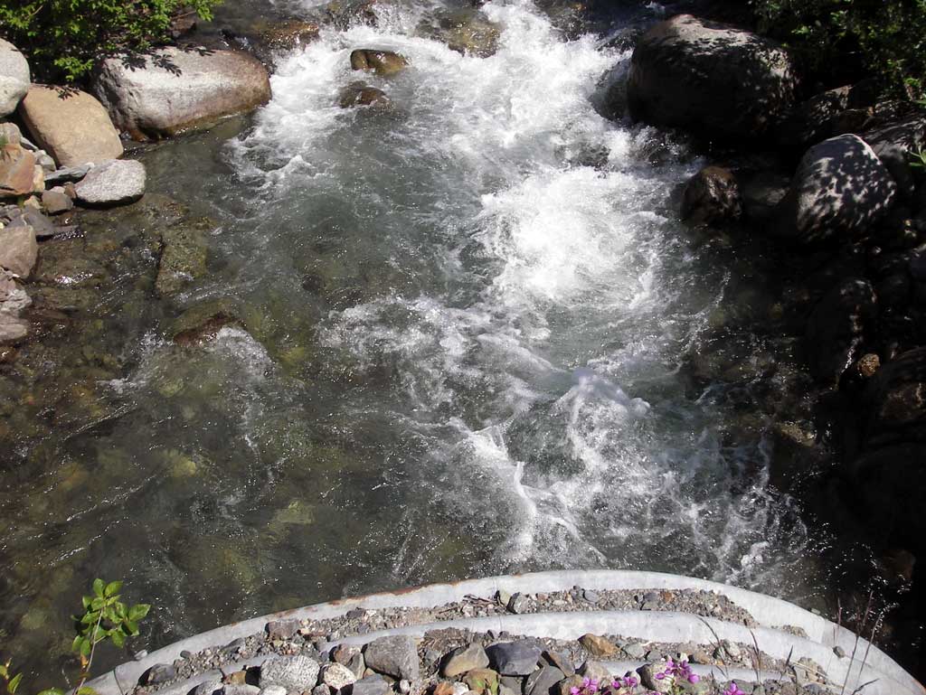
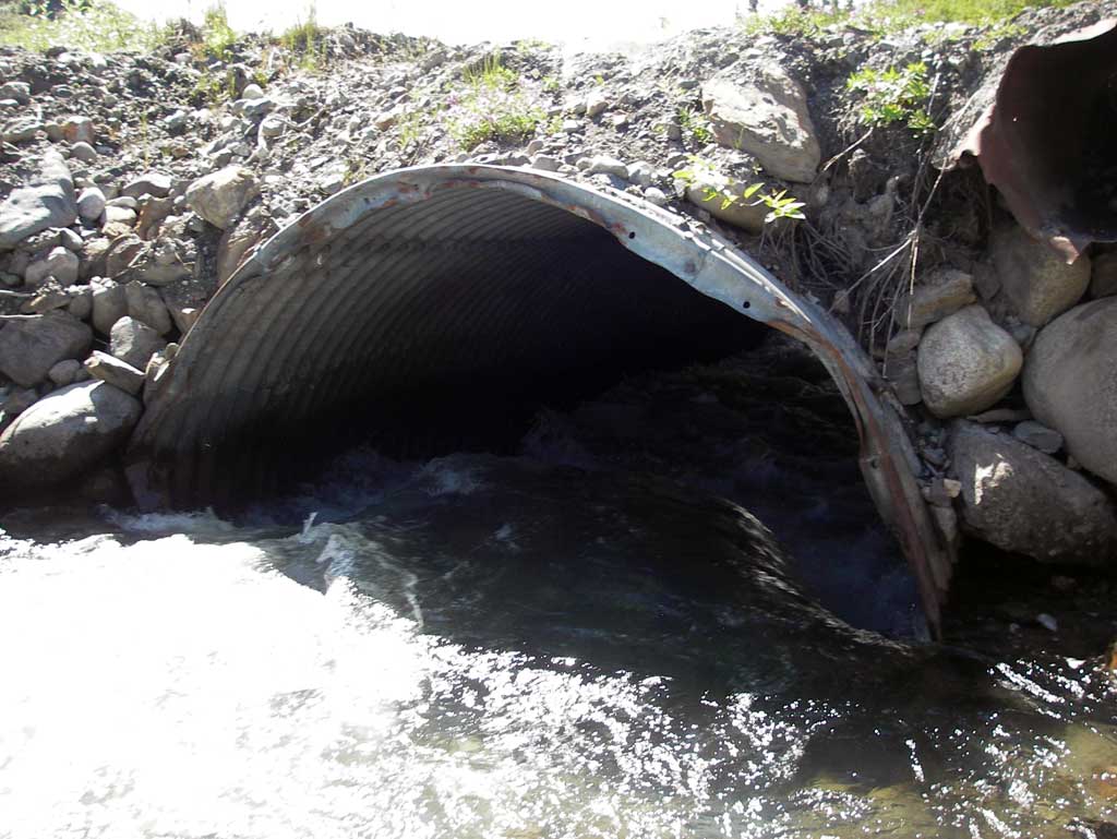
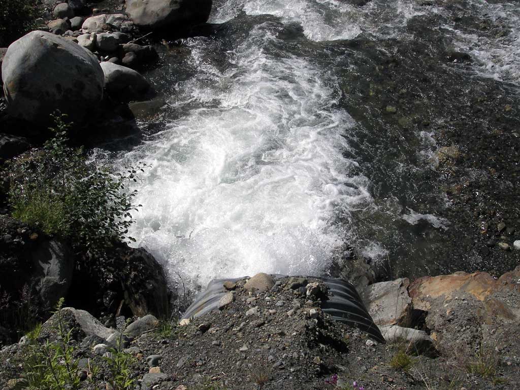
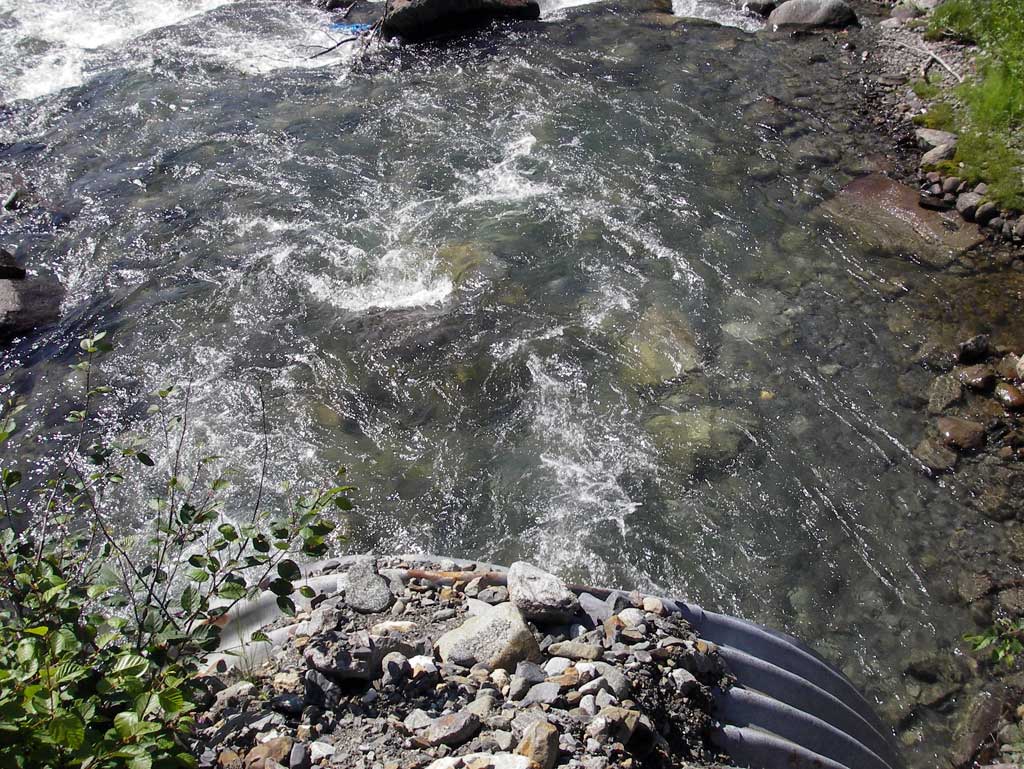
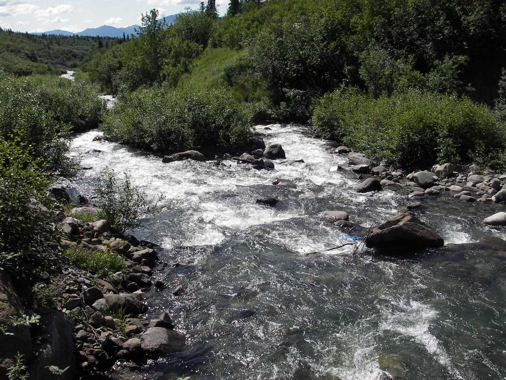
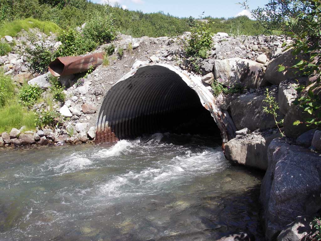
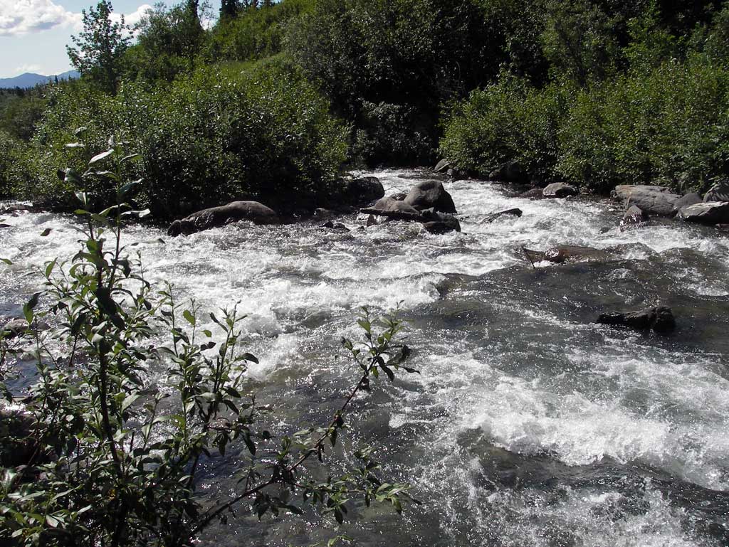
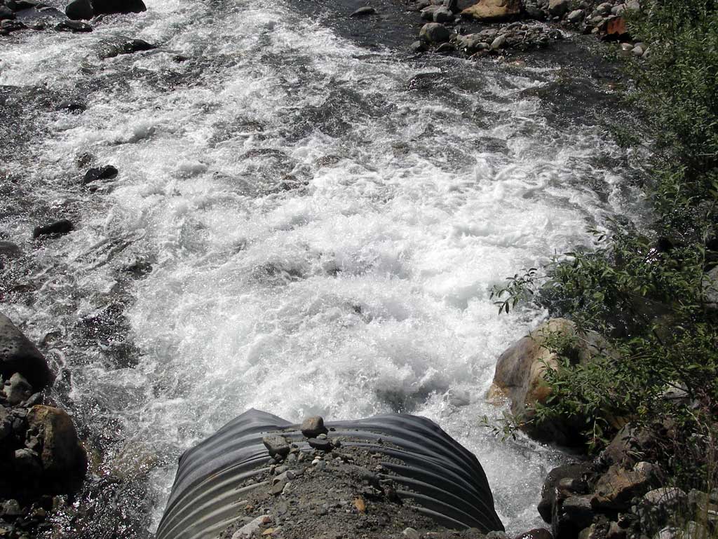
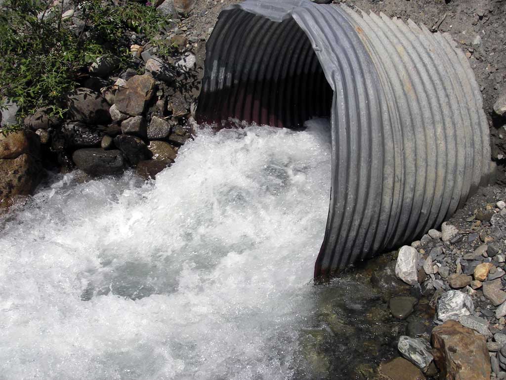
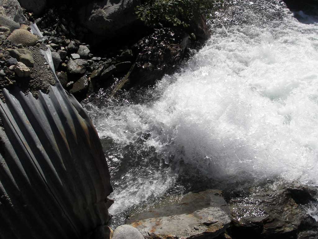
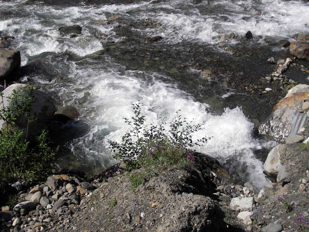
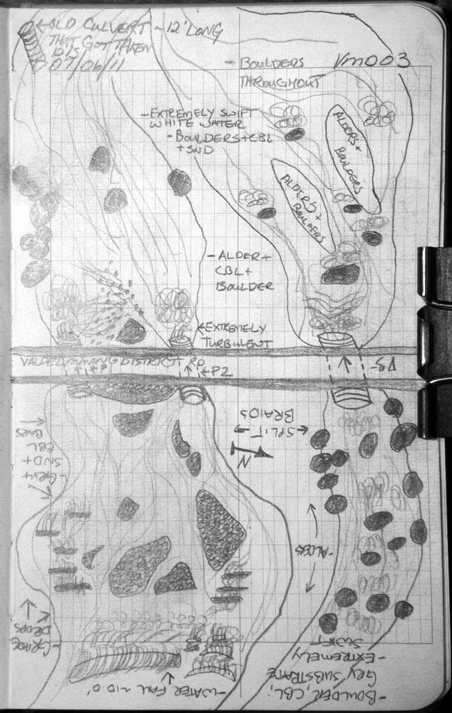
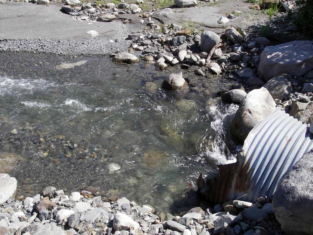
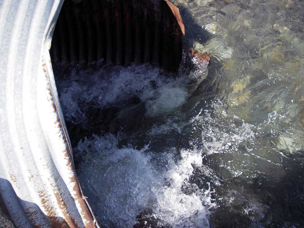
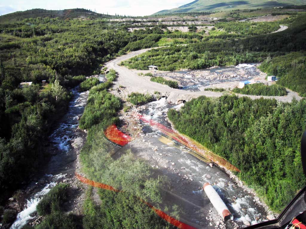
Comments: Three Culverts spaced apart for crossing of Valdez Creek. Very strong current at inlet and outlets. The inlet invert of pipe 3 was peeled back and up approximately 3' from the actual invert and created a 3' hydraulic drop at inlet. Outlet areas of all three culverts were very strong whitewater flow making measurements difficult.
Culvert Measurements
| ID: 1 | Structure Type: Circular pipe (Corrugated steel) | Fish Passage Rating: | |||||||||||||||||||||||||||||||||||||||||
|
|
|
|||||||||||||||||||||||||||||||||||||||||
Comments: Very turbulent flow at both inlets and outlets making measurements difficult. Gradients with TOP. |
|||||||||||||||||||||||||||||||||||||||||||
Culvert Observations:
|
|||||||||||||||||||||||||||||||||||||||||||
| ID: 2 | Structure Type: Circular pipe (Corrugated steel) | Fish Passage Rating: | |||||||||||||||||||||||||||||||||||||||||
|
|
|
|||||||||||||||||||||||||||||||||||||||||
Comments: Very turbulent flow at both inlet and outlets making measurements difficult. Used TOP for gradient. |
|||||||||||||||||||||||||||||||||||||||||||
Culvert Observations:
|
|||||||||||||||||||||||||||||||||||||||||||
| ID: 3 | Structure Type: Circular pipe (Structural steel plate) | Fish Passage Rating: | |||||||||||||||||||||||||||||||||||||||||
|
|
|
|||||||||||||||||||||||||||||||||||||||||
Comments: Very turbulent flow at both inlet and outlets making measurements difficult. Used TOP for gradient. |
|||||||||||||||||||||||||||||||||||||||||||
Culvert Observations:
|
|||||||||||||||||||||||||||||||||||||||||||
Stream Measurements
|
|
| Stream Width Type | Distance From Crossing (ft) |
Stream Width (ft) |
|---|---|---|
| Downstream ordinary high water |
Elevations
| Locator ID | Culvert Number |
River Distance (ft)1 |
Distance From Crossing (ft)2 |
Relative Elevation (ft) |
|---|---|---|---|---|
| Outlet Culvert Top (Extreme current and turbulence makes taking inverts and water surface at inverts impossible.Very dangerous.) | 1 | 0.00 | 90.69 | |
| Outlet Culvert Top | 2 | 0.00 | 91.36 | |
| Outlet Culvert Top | 3 | 0.00 | 102.50 | |
| Road Elev | 22.00 | 105.32 | ||
| Inlet Culvert Top | 1 | 39.00 | 92.39 | |
| Inlet Culvert Top | 2 | 39.00 | 92.64 | |
| Inlet Culvert Top | 3 | 45.80 | 104.48 | |
| U/S Grade Ctrl (Thalweg) (shot taken in a continuous riffle.) | 80.00 | 89.49 | ||
| U/S Water Surface Elev | 80.00 | 90.52 | ||
| U/S Grade Ctrl (Thalweg) (shot taken in a continuous riffle.) | 200.00 | 96.55 | ||
| U/S Water Surface Elev | 200.00 | 97.24 |
Notes:
- River distance is measured continuously throughout the survey reach along the thalweg of the stream.
- Measured from each end of the crossing along the thalweg of the stream.
Fish Sampling Efforts
| Gear Type: Minnow Trap (B) | Trap Duration(h): 2.0 | |
| Comments: Trap set dwst and no fish caught. | ||
Fish Observations
No fish observations occurred during this survey.
Photos
Questions or comments about this report can be directed to dfg.dsf.webmaster@alaska.gov