Fish Passage Site 20502064
Coordinates (dec. deg.): 63.11300°, -147.41264°
Legal Description: F021S002E08
Region: South Central
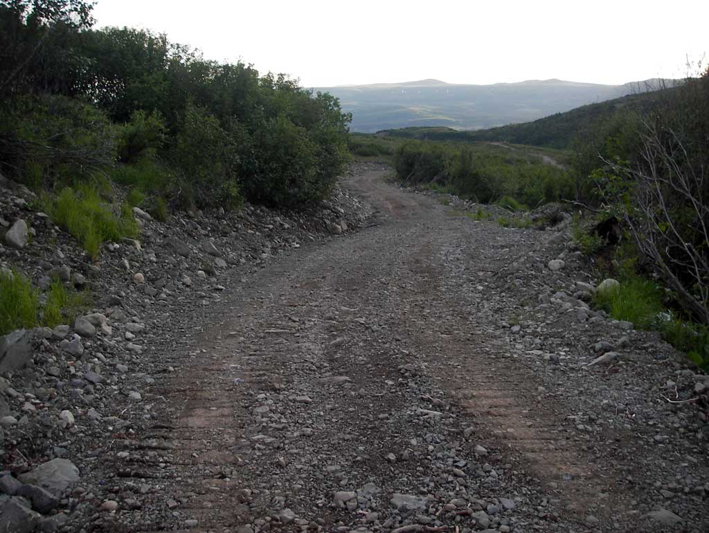
Road Name: Wedding Pass Mining District
Datum: NAD83
Quad Name / ITM: Healy A-1
AWC Stream #:
Stream Name:
Elevation:
Site Comments: None
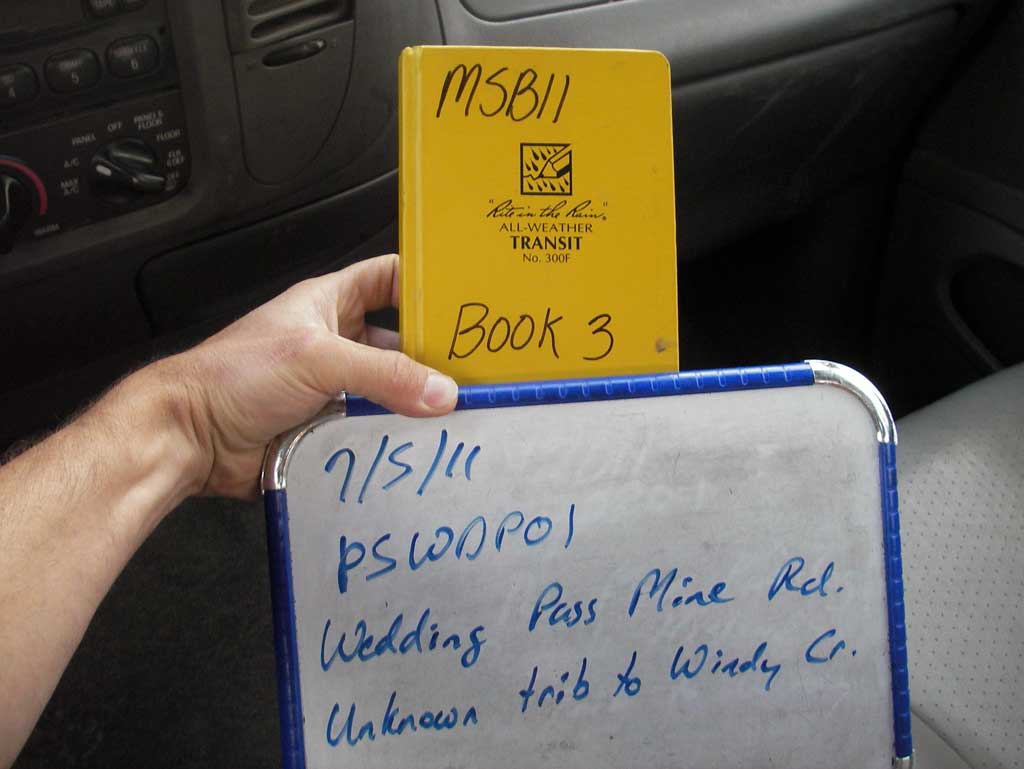
Survey MSB11-PSWDP01
Project Supervisor: Gillian O'Doherty, Alaska Department of Fish and Game
— Anchorage, AK
Observers: John Greuey, Abraham Gioffre
Overall Fish Passage Rating:
Tidal: No
Backwatered: No
Step Pools: No
Construction Year:
Site Observations:
- Outfall height red
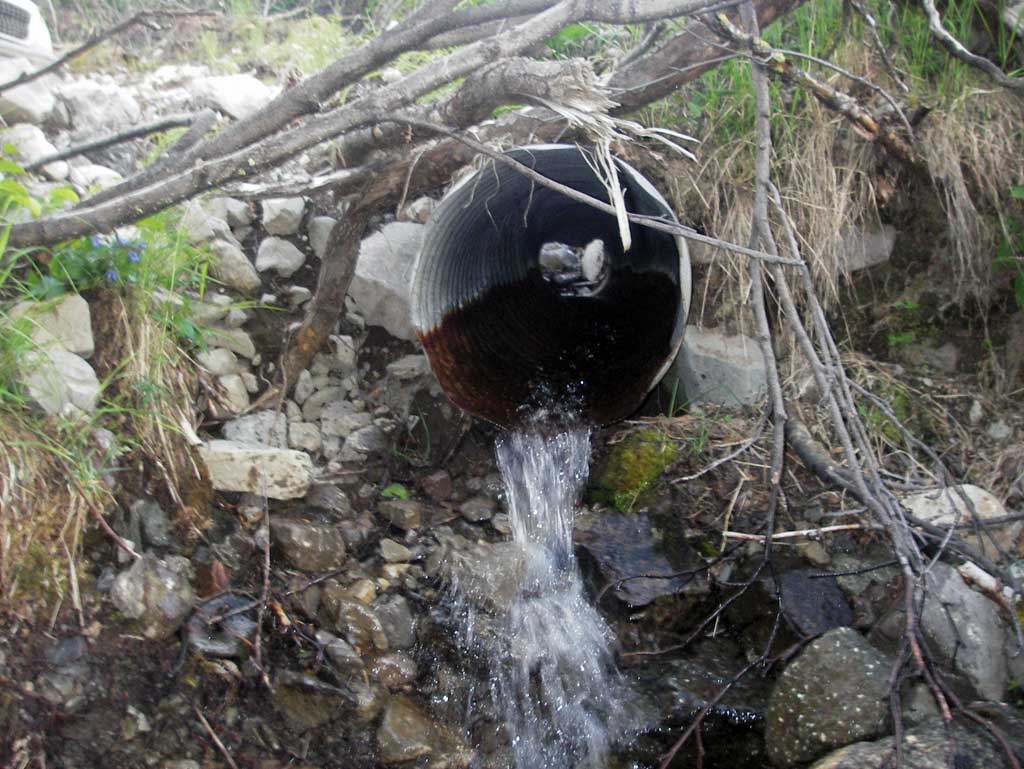
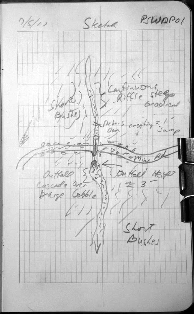
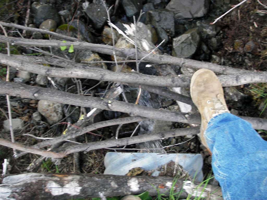
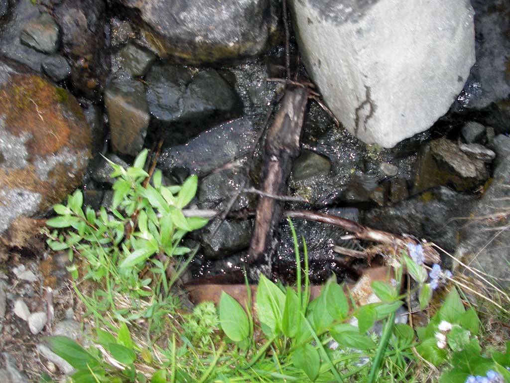
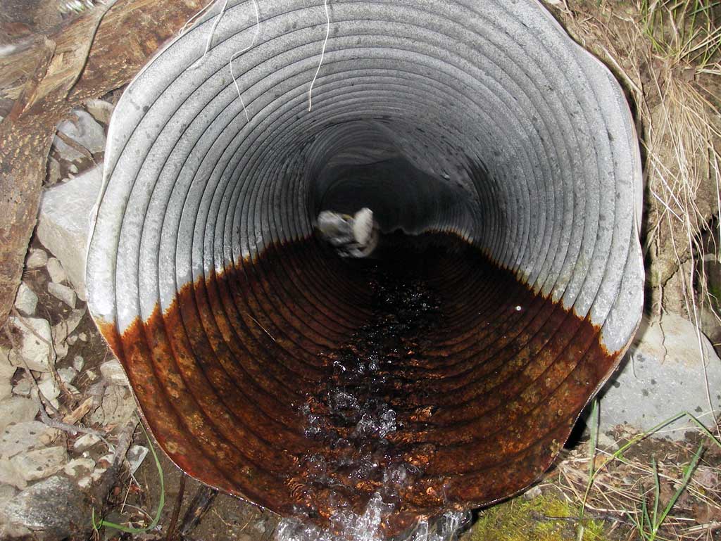
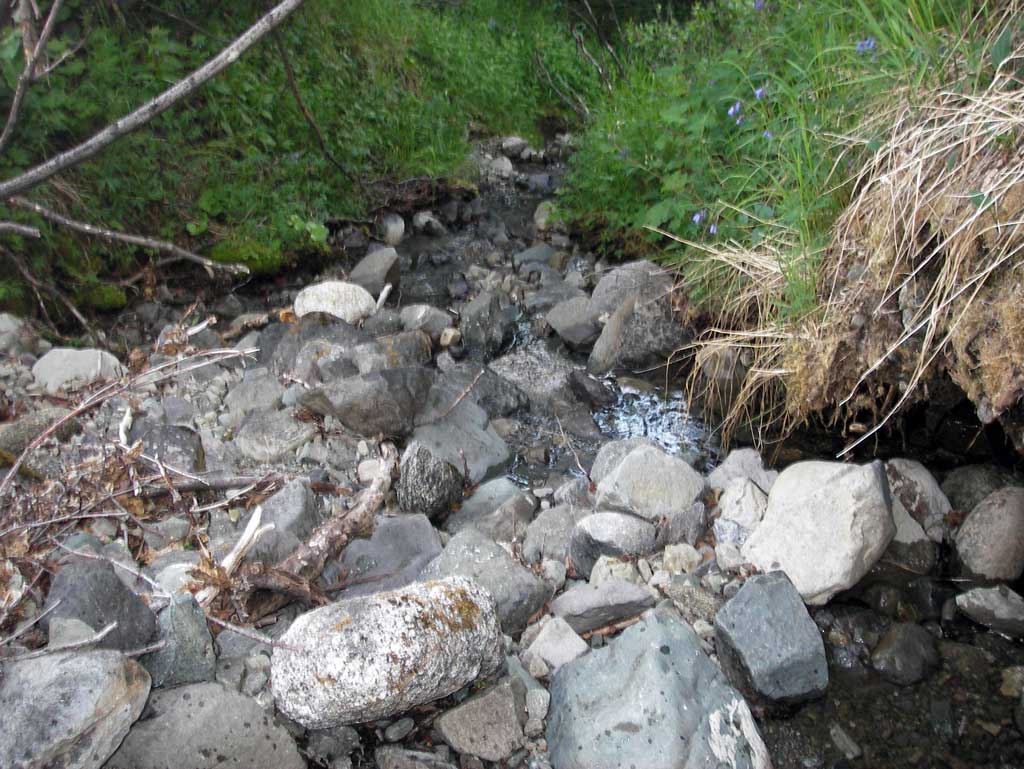
Comments: Pipe is badly crushed and has an outfall cascade over rocks of 0.7' measured with measuring stick. Very small drainage with subsurface flow near pipe.
Culvert Measurements
| ID: 1 | Structure Type: Circular pipe (Corrugated steel) | Fish Passage Rating: | |||||||||||||||||||||||||||||||||||||||||
|
|
|
|||||||||||||||||||||||||||||||||||||||||
Culvert Observations:
|
|||||||||||||||||||||||||||||||||||||||||||
Stream Measurements
|
|
No stream width data available.
Elevations
No elevation data available.
Fish Sampling Efforts
No fish sampling occurred during this survey.
Fish Observations
No fish observations occurred during this survey.
Photos
Questions or comments about this report can be directed to dfg.dsf.webmaster@alaska.gov