Fish Passage Site 20502062
Coordinates (dec. deg.): 63.20617°, -147.38712°
Legal Description: F020S002E04
Region: South Central
Road Name: Valdez Mining District Road
Datum: NAD83
Quad Name / ITM: Healy A-1
AWC Stream #:
Stream Name:
Elevation:
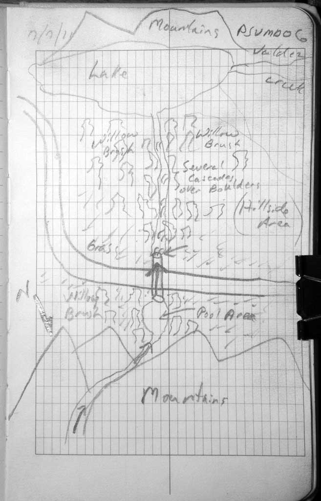
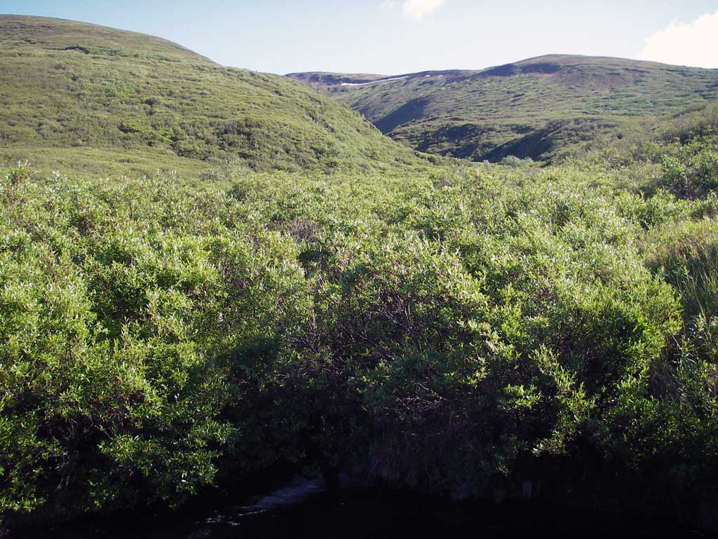
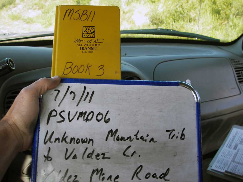
Site Comments: Site back Valdez Mine District road off the Denali Highway.
Survey MSB11-PSVMD06
Project Supervisor: Gillian O'Doherty, Alaska Department of Fish and Game
— Anchorage, AK
Observers: John Greuey, Abraham Gioffre
Overall Fish Passage Rating:
Tidal: No
Backwatered: No
Step Pools: No
Construction Year:
Site Observations:
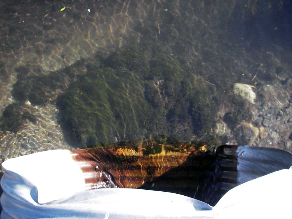
- Outfall height red
- Inlet perch
- Structural Problem
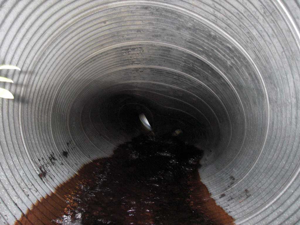
- Culvert sagging in middle
- Shallow fill; inadequate roadfill volume above culvert
- Mechanical damage or joints parting
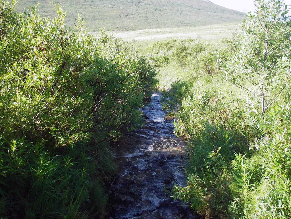
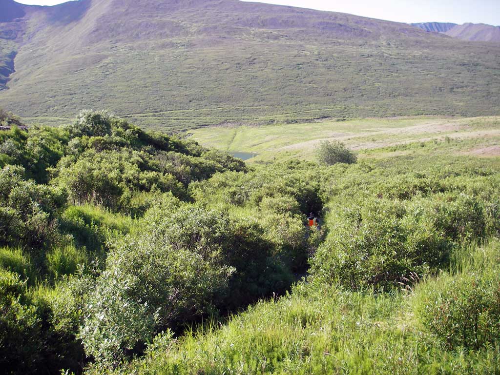
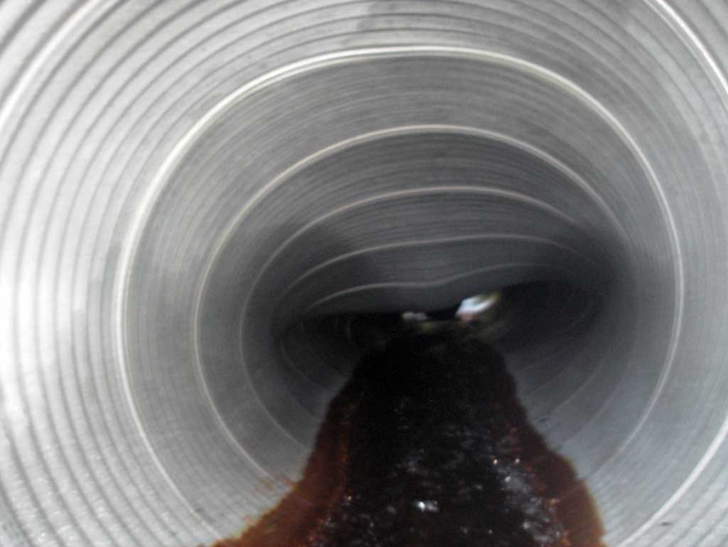
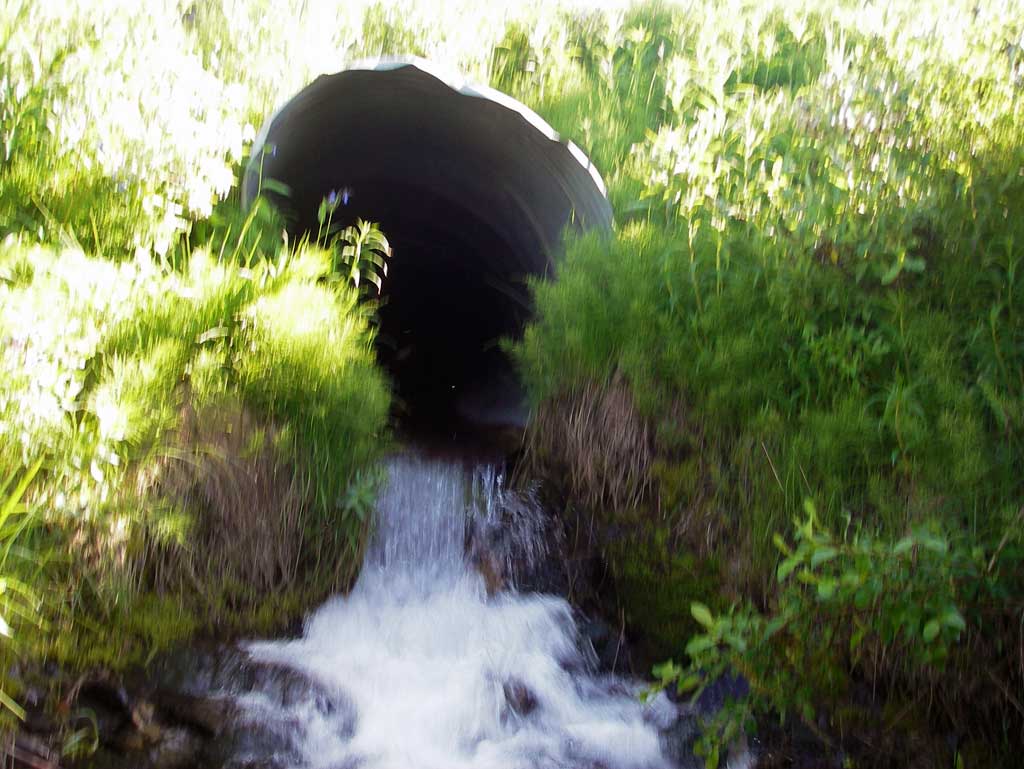
Comments: Upst channel is a very steep mountain drainage. Pipe is badly crushed in the middle and inlet invert perched. Outlet has outfall height.
Culvert Measurements
| ID: 1 | Structure Type: Circular pipe (Corrugated steel) | Fish Passage Rating: | |||||||||||||||||||||||||||||||||||||||||
|
|
|
|||||||||||||||||||||||||||||||||||||||||
Culvert Observations:
|
|||||||||||||||||||||||||||||||||||||||||||
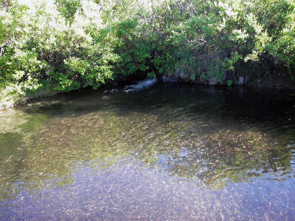
Stream Measurements
|
|
| Stream Width Type | Distance From Crossing (ft) |
Stream Width (ft) |
|---|---|---|
| Downstream ordinary high water | 20.0 | 5.00 |
| Downstream ordinary high water | 50.0 | 4.35 |
| Downstream ordinary high water | 80.0 | 3.80 |
Elevations
No elevation data available.
Fish Sampling Efforts
No fish sampling occurred during this survey.
Fish Observations
No fish observations occurred during this survey.
Photos

Questions or comments about this report can be directed to dfg.dsf.webmaster@alaska.gov