Fish Passage Site 20502059
Coordinates (dec. deg.): 63.18258°, -147.29272°
Legal Description: F020S002E14
Region: South Central
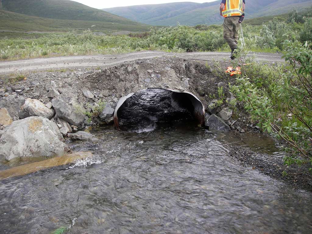
Road Name: Valdez Mining District Road
Datum: NAD83
Quad Name / ITM: Healy A-1
AWC Stream #:
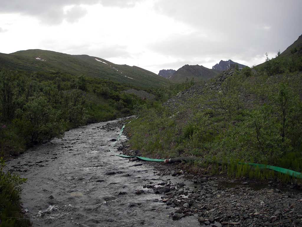
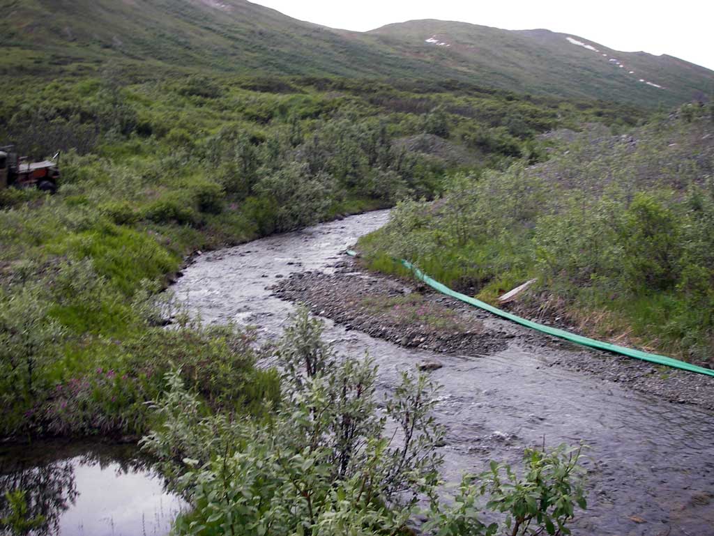
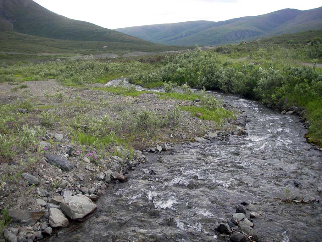
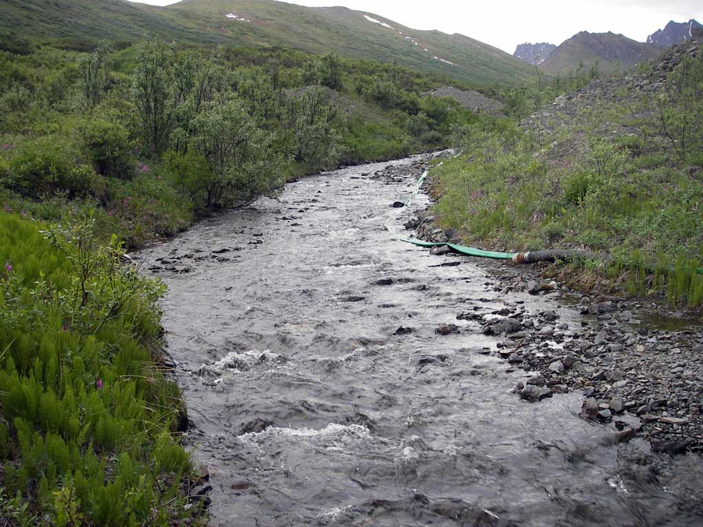
Stream Name: Surprise Creek
Elevation:
Site Comments: None
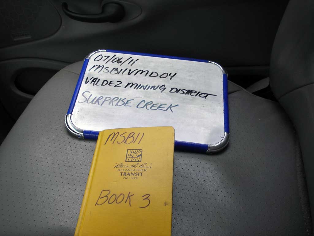
Survey MSB11-VMD04
Project Supervisor: Gillian O'Doherty, Alaska Department of Fish and Game
— Anchorage, AK
Observers: John Greuey, Abraham Gioffre
Overall Fish Passage Rating:
Tidal: No
Backwatered: No
Step Pools: No
Construction Year:
Site Observations:
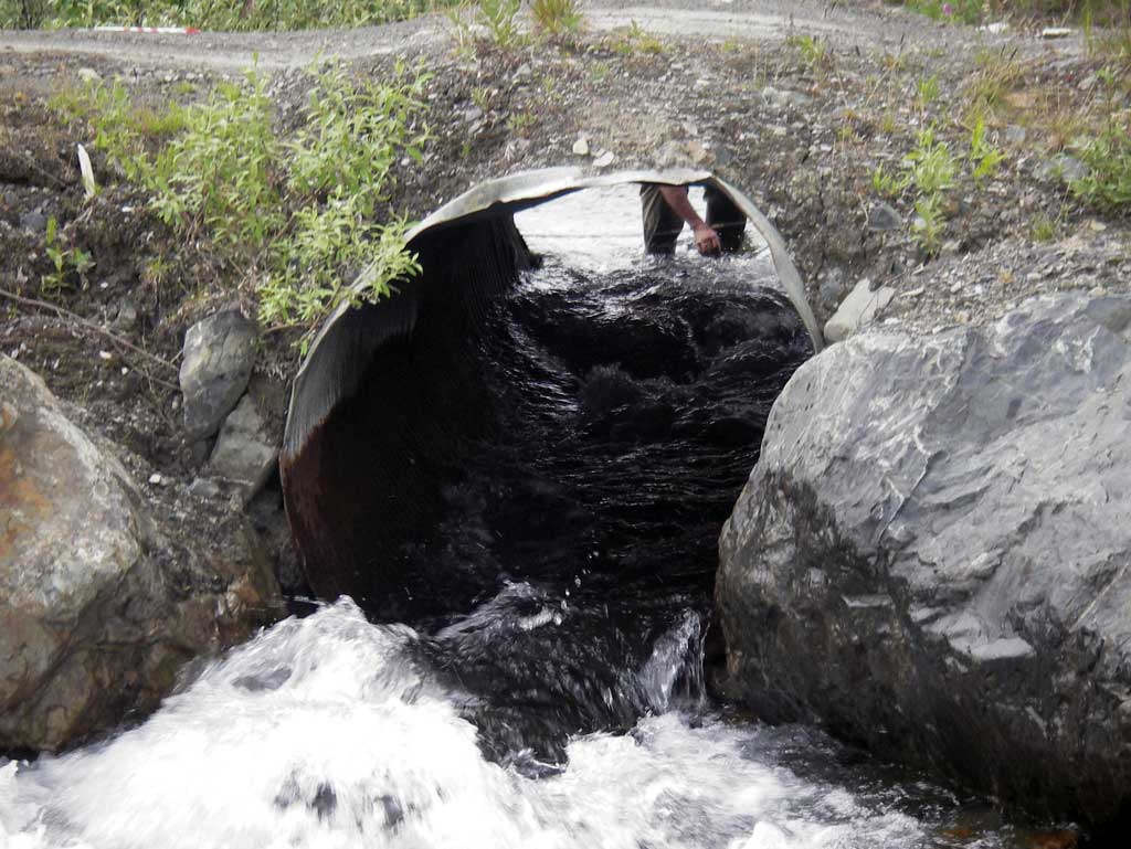
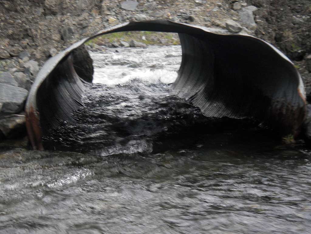
- Constriction ratio red
- Culvert sagging in middle
- Mechanical damage or joints parting
- Culvert gradient red
- Shallow fill; inadequate roadfill volume above culvert
- Outfall height red
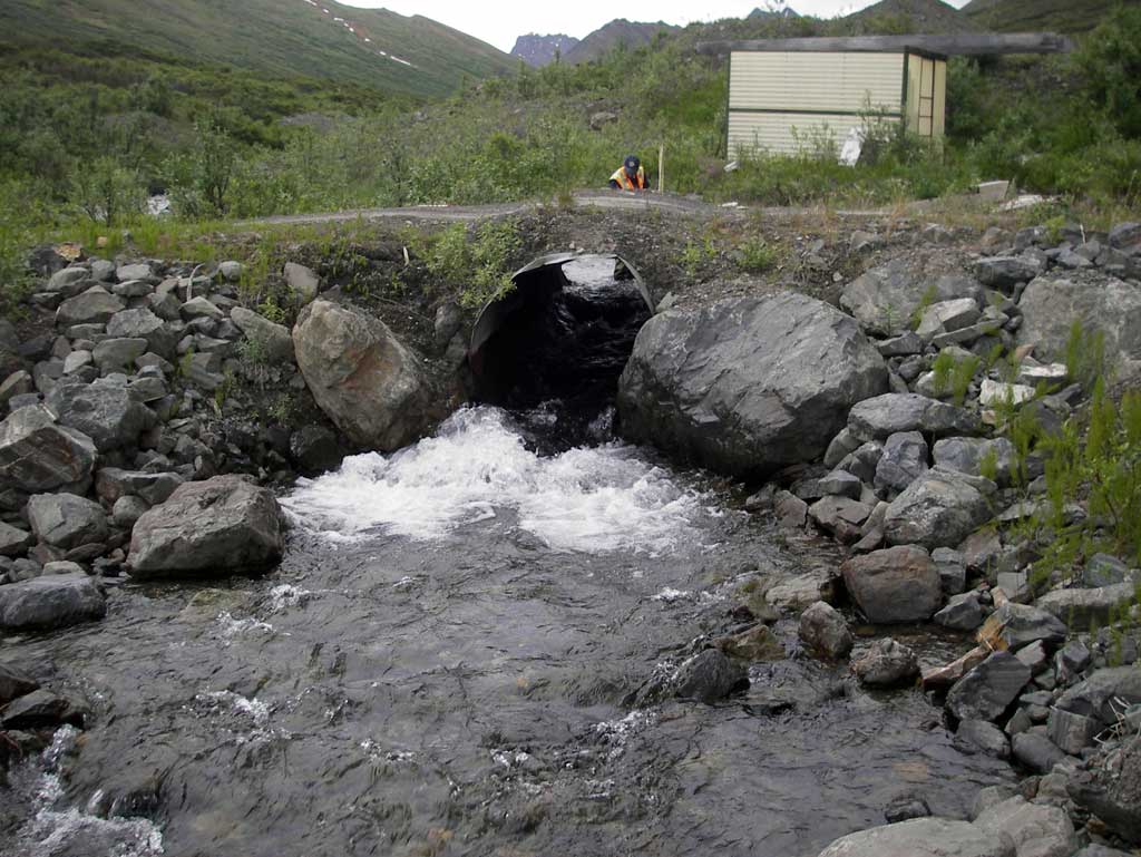
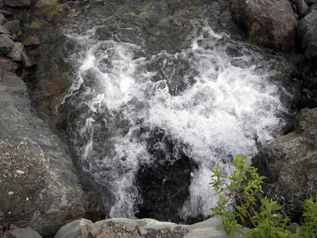
Comments: Inlet of Circular Pipe squashed into more of an Oval shape and the top is sagging and sides crushed.
Culvert Measurements
| ID: 1 | Structure Type: Circular pipe (Corrugated steel) | Fish Passage Rating: | |||||||||||||||||||||||||||||||||||||||||
|
|
|
|||||||||||||||||||||||||||||||||||||||||
Culvert Observations:
|
|||||||||||||||||||||||||||||||||||||||||||
Stream Measurements
|
|
| Stream Width Type | Distance From Crossing (ft) |
Stream Width (ft) |
|---|---|---|
| Downstream ordinary high water | 50.0 | 12.80 |
| Downstream ordinary high water | 82.0 | 11.00 |
| Downstream ordinary high water | 168.0 | 11.50 |
Elevations
| Locator ID | Culvert Number |
River Distance (ft)1 |
Distance From Crossing (ft)2 |
Relative Elevation (ft) |
|---|---|---|---|---|
| D/S Grade Ctrl (Thalweg) (middle of continuous riffle) | 0.00 | 88.87 | ||
| D/S Water Surface Elev | 0.00 | 89.55 | ||
| D/S Grade Ctrl (Thalweg) (middle of continuous riffle) | 62.00 | 91.51 | ||
| D/S Water Surface Elev | 62.00 | 92.19 | ||
| Max Pool Depth (Outlet pool elevation) | 160.00 | 95.56 | ||
| Outlet Pool Water Elev (Water surface at outlet pool) | 160.00 | 96.45 | ||
| D/S Water Surface Elev (Water surface at outlet invert) | 168.00 | 97.13 | ||
| Outlet Invert (On pipe) | 168.00 | 96.25 | ||
| Outlet Culvert Top | 168.00 | 100.39 | ||
| Road Elev | 178.00 | 101.45 | ||
| Inlet Culvert Top | 187.95 | 100.61 | ||
| Inlet Culvert Invert (On pipe) | 187.95 | 97.33 | ||
| U/S Water Surface Elev (Water surface a inlet) | 187.95 | 98.43 | ||
| U/S Grade Ctrl (Thalweg) (Middle of continuous riffle) | 247.95 | 99.42 | ||
| U/S Water Surface Elev | 247.95 | 100.11 |
Notes:
- River distance is measured continuously throughout the survey reach along the thalweg of the stream.
- Measured from each end of the crossing along the thalweg of the stream.
Fish Sampling Efforts
No fish sampling occurred during this survey.
Fish Observations
No fish observations occurred during this survey.
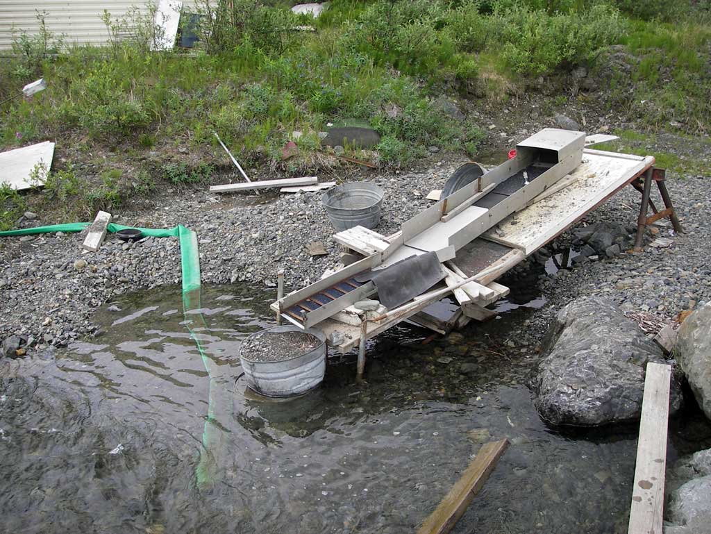
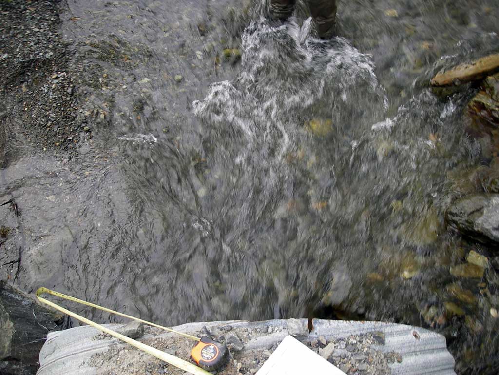
Photos
Questions or comments about this report can be directed to dfg.dsf.webmaster@alaska.gov