Fish Passage Site 20502055
Coordinates (dec. deg.): 63.20131°, -147.26216°
Legal Description: F020S002E12
Region: South Central
Road Name: Valdez Mining District Road
Datum: NAD83
Quad Name / ITM: Healy A-1
AWC Stream #:
Stream Name:
Elevation:
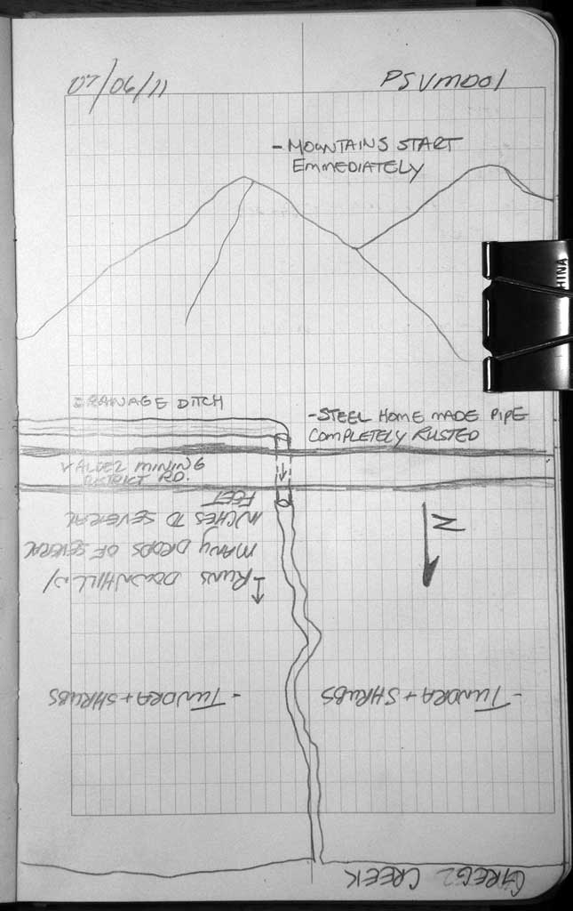
Site Comments: Old mining road off Denali Highway
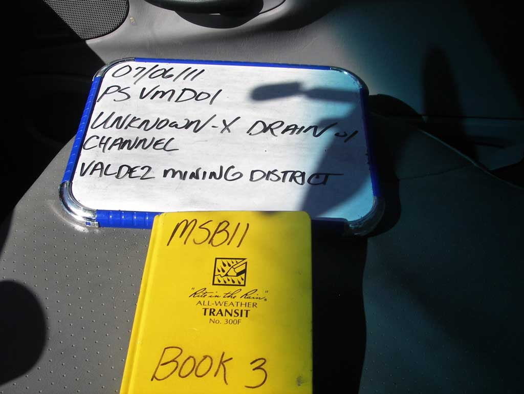
Survey MSB11-PSVMD01
Project Supervisor: Gillian O'Doherty, Alaska Department of Fish and Game
— Anchorage, AK
Observers: John Greuey, Abraham Gioffre
Overall Fish Passage Rating:
Tidal: No
Backwatered: No
Step Pools: No
Construction Year:
Site Observations:
- Outfall height gray
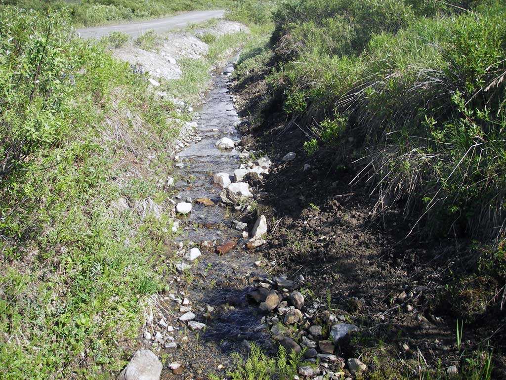
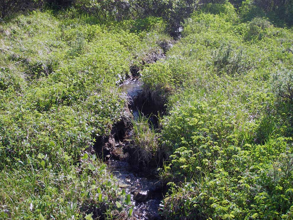
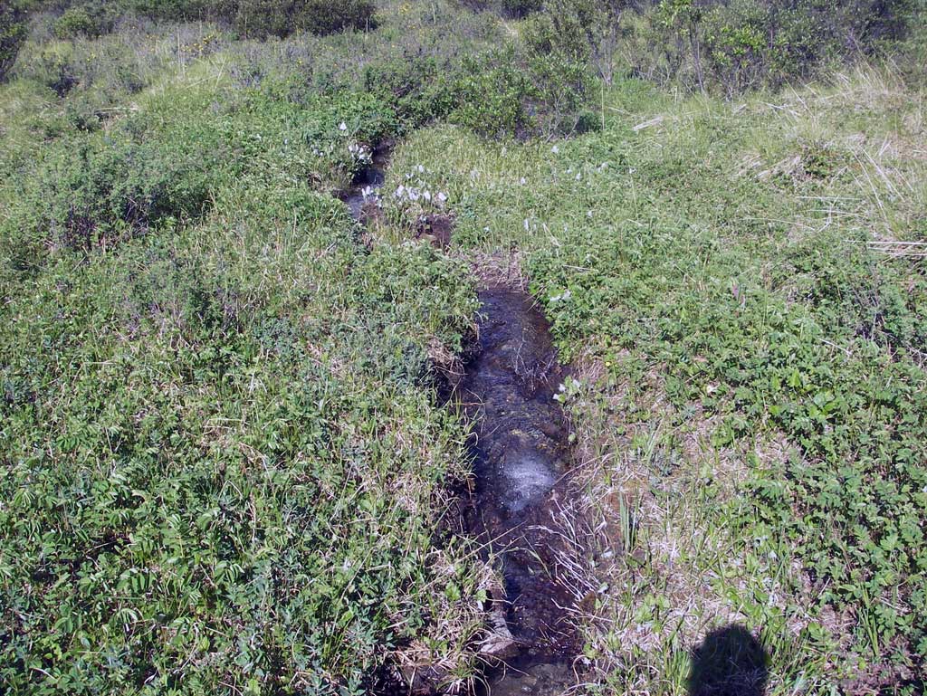
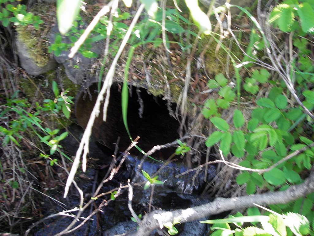
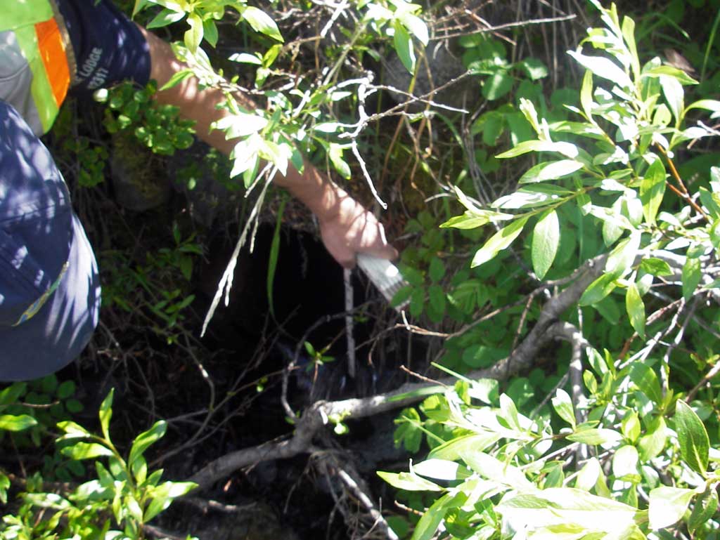
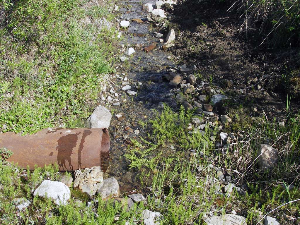
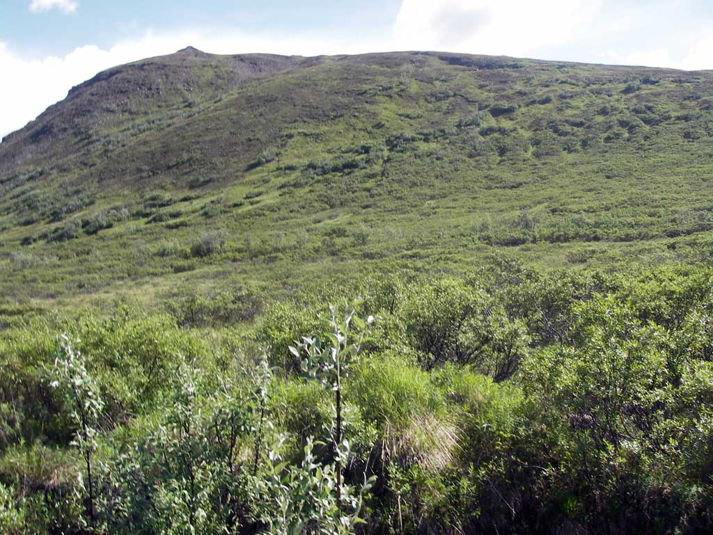
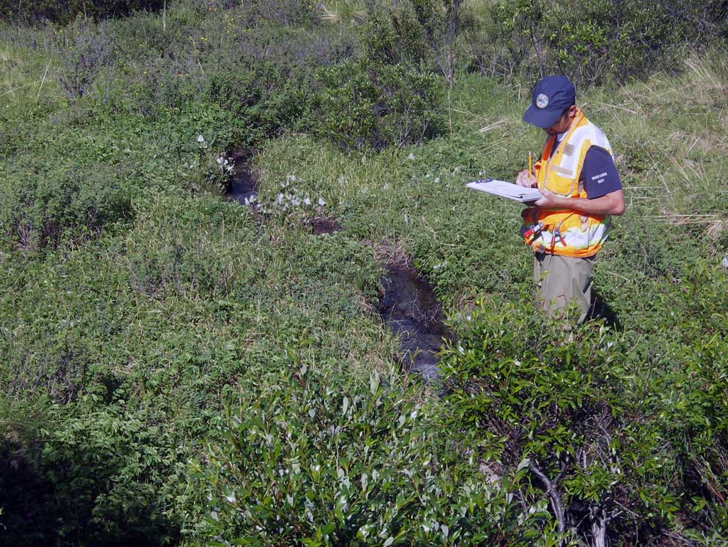
Comments: Cross drain along the road with a gravel substrate channel draining a small upland area with no habitat. Dwst is a steep gradient with several cascades greater than 1 foot.
Culvert Measurements
| ID: 1 | Structure Type: Circular pipe (Non-corrugated metal) | Fish Passage Rating: | |||||||||||||||||||||||||||||||||||||||||
|
|
|
|||||||||||||||||||||||||||||||||||||||||
Culvert Observations:
|
|||||||||||||||||||||||||||||||||||||||||||
Stream Measurements
|
|
No stream width data available.
Elevations
No elevation data available.
Fish Sampling Efforts
No fish sampling occurred during this survey.
Fish Observations
No fish observations occurred during this survey.
Photos
Questions or comments about this report can be directed to dfg.dsf.webmaster@alaska.gov