Fish Passage Site 20501876
Coordinates (dec. deg.): 61.65833°, -149.49677°
Legal Description: S018N001W08
Region: South Central
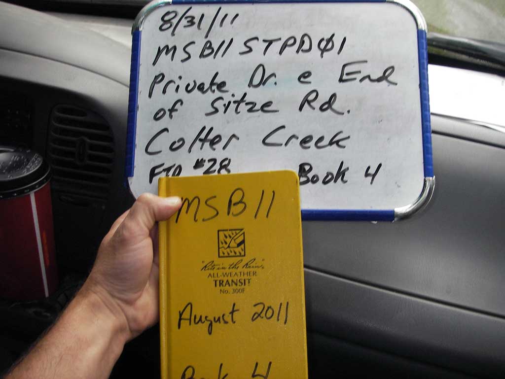
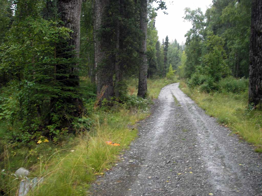
Road Name: Driveway off Sitze Road
Datum: NAD83
Quad Name / ITM: Anchorage C-7
AWC Stream #:
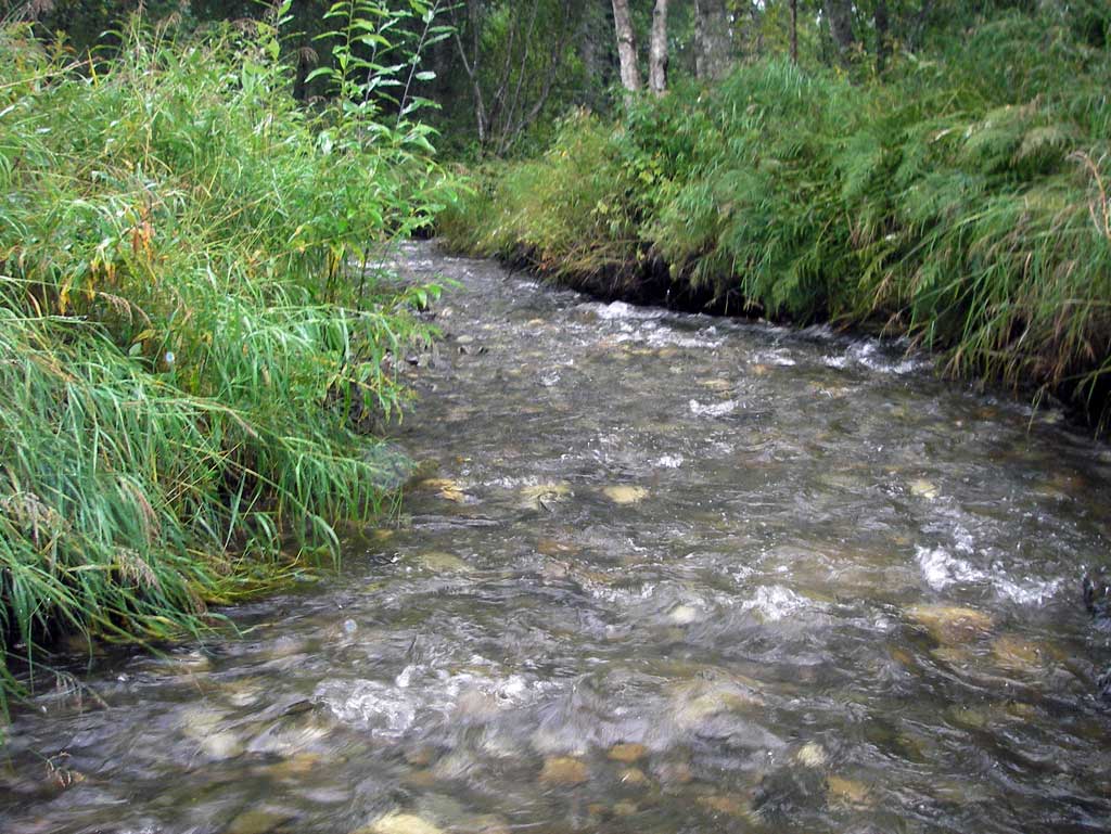
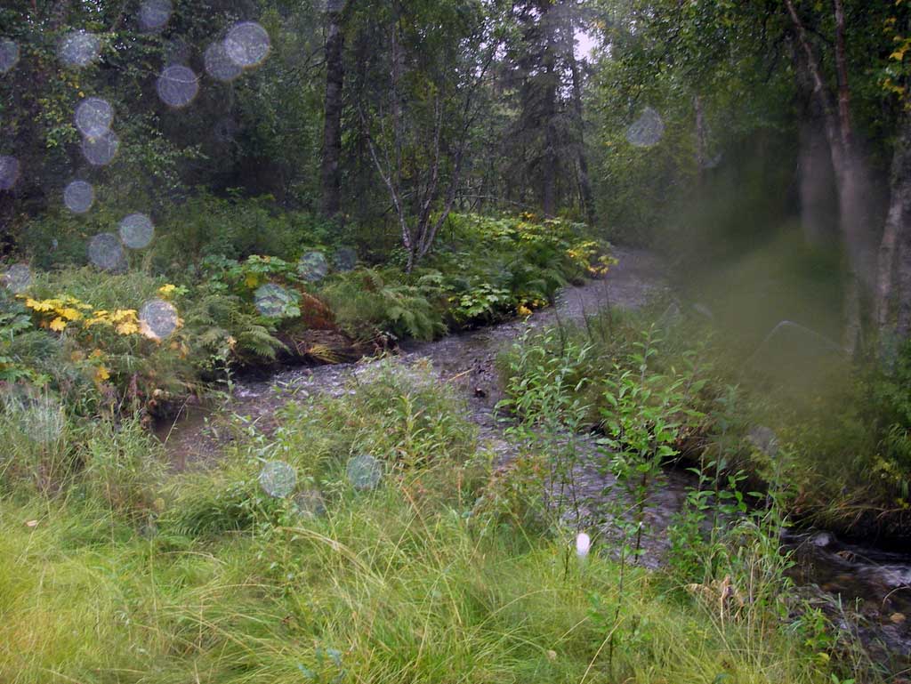
Stream Name: Moon Princess Creek
Elevation:
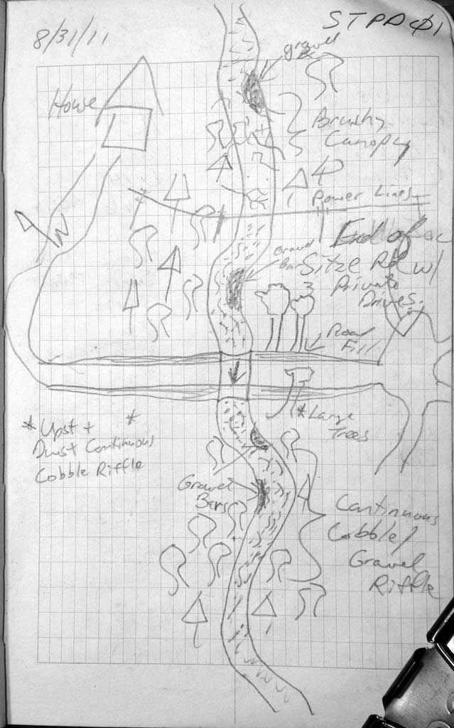
Site Comments: Culvert was put in in 2008 and no prior survey data could be found so site was re-surveyed. Stream AKA Colter Creek
arrow to the right of the survey date below to choose a different report for this site.
Survey MSB11-STPD01
Project Supervisor: Gillian O'Doherty, Alaska Department of Fish and Game
— Anchorage, AK
Observers: John Greuey, Abraham Gioffre
Overall Fish Passage Rating:
Tidal: No
Backwatered: No
Step Pools: No
Construction Year: 2008
Site Observations:
- Constriction ratio gray
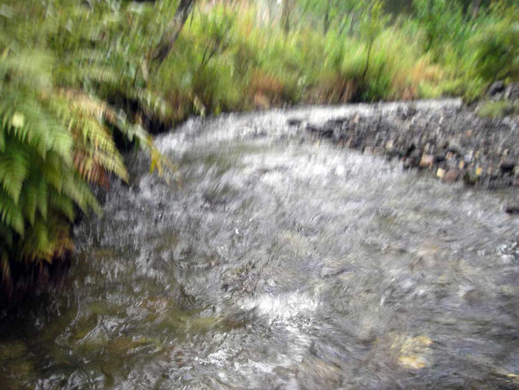
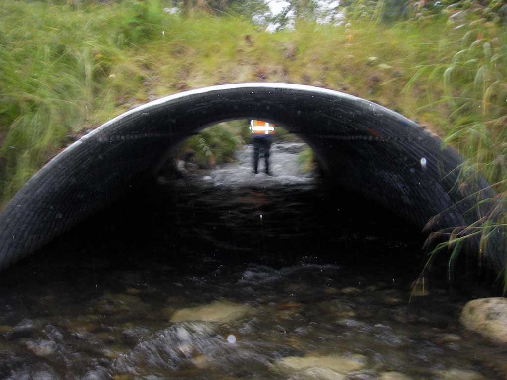
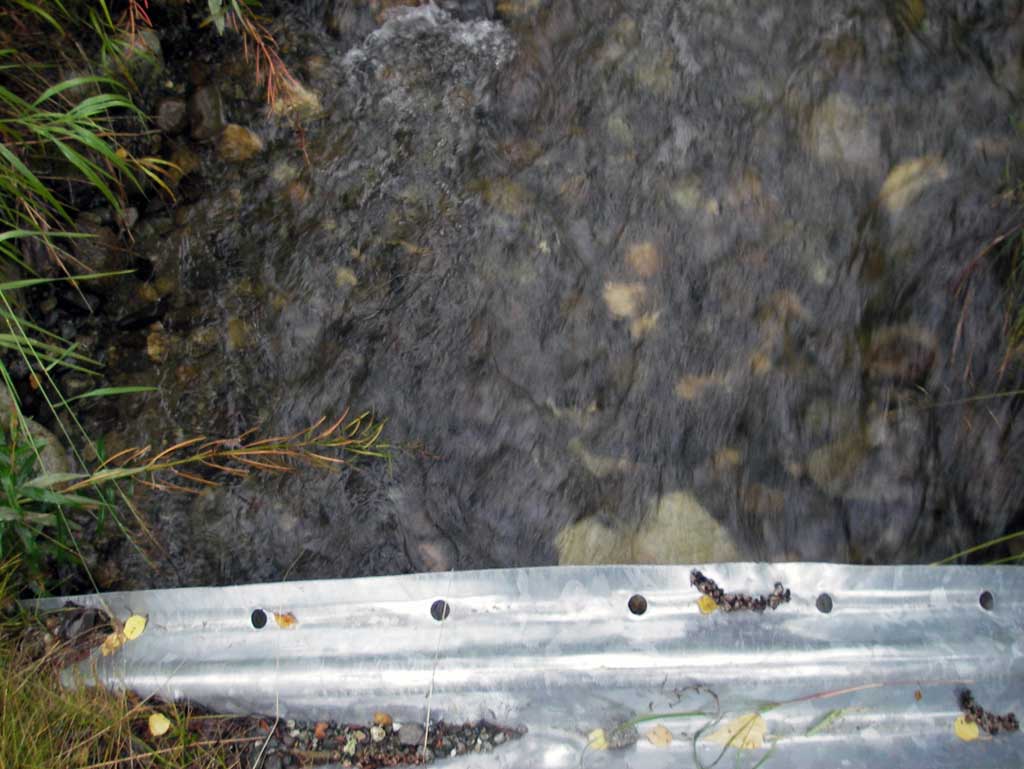
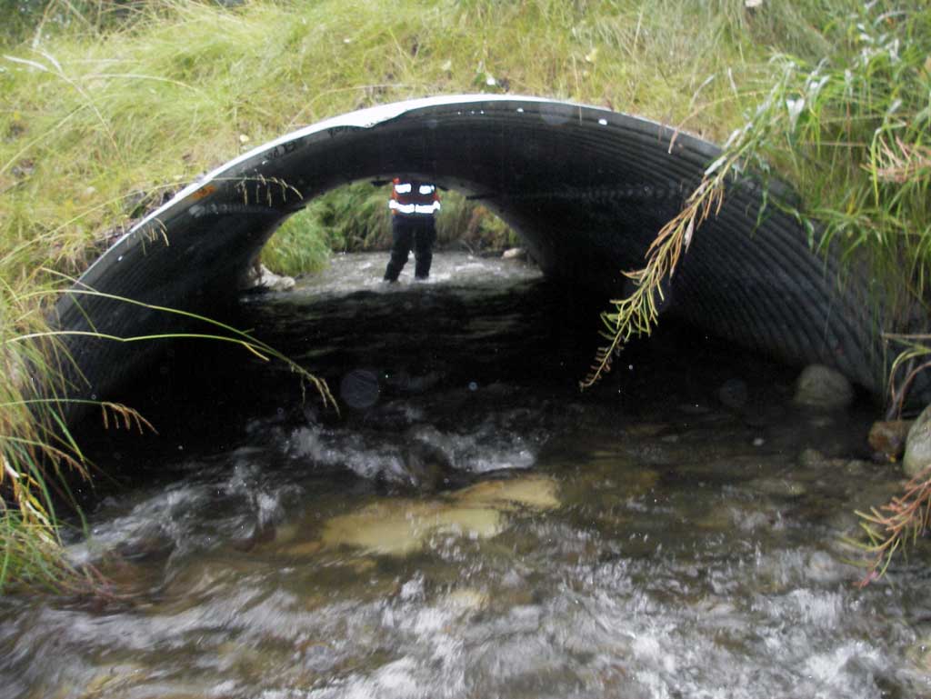
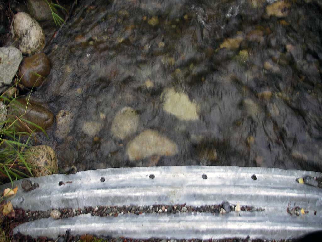
Comments: Survey is a re-survey of culvert located on a private drive at the end of Sitze Road. Upst and dwst are continuous riffles for several hundred feet. Culvert appeared to be an open bottom arch so TOP elevations were used for pipe gradient. Site is just below the threshold limit on the constriction ratio to be rated green Velocity through the pipe was no different than instream velocities upst and dwst site rated green.
Culvert Measurements
| ID: 1 | Structure Type: Open-bottom arch (Corrugated steel) | Fish Passage Rating: | |||||||||||||||||||||||||||||||||||||||||
|
|
|
|||||||||||||||||||||||||||||||||||||||||
Culvert Observations:
|
|||||||||||||||||||||||||||||||||||||||||||
Stream Measurements
|
|
| Stream Width Type | Distance From Crossing (ft) |
Stream Width (ft) |
|---|---|---|
| Downstream ordinary high water | 115.0 | 15.00 |
| Downstream ordinary high water | 173.0 | 14.70 |
| Downstream ordinary high water | 218.0 | 11.70 |
Elevations
| Locator ID | Culvert Number |
River Distance (ft)1 |
Distance From Crossing (ft)2 |
Relative Elevation (ft) |
|---|---|---|---|---|
| D/S Water Surface Elev (water surface elev used for gradient) | 0.00 | 91.53 | ||
| D/S Water Surface Elev | 137.00 | 94.07 | ||
| D/S Water Surface Elev (water surface elev used for gradient) | 172.00 | 95.13 | ||
| D/S Thalweg (profile pt in continuous riffle) | 184.00 | 95.47 | ||
| D/S Water Surface Elev | 184.00 | 95.95 | ||
| Outlet Culvert Top | 213.00 | 100.00 | ||
| Outlet Invert (Outlet invert on substrate) | 213.00 | 95.69 | ||
| D/S Water Surface Elev (Outlet water surface elev) | 213.00 | 96.39 | ||
| Road Elev | 228.00 | 101.64 | ||
| Inlet Culvert Top | 238.90 | 100.29 | ||
| Inlet Culvert Invert (Inlet invert on substrate) | 238.90 | 96.32 | ||
| U/S Water Surface Elev (Inlet water surface elev) | 238.90 | 96.66 | ||
| U/S Thalweg (profile pt in continuous riffle) | 276.90 | 97.58 | ||
| U/S Water Surface Elev | 276.90 | 98.02 |
Notes:
- River distance is measured continuously throughout the survey reach along the thalweg of the stream.
- Measured from each end of the crossing along the thalweg of the stream.
Fish Sampling Efforts
No fish sampling occurred during this survey.
Fish Observations
No fish observations occurred during this survey.
Photos
Questions or comments about this report can be directed to dfg.dsf.webmaster@alaska.gov