Fish Passage Site 20501808
Coordinates (dec. deg.): 62.50270°, -150.10240°
Legal Description: S028N005W24
Region: South Central
Road Name: Alaska Railroad
Datum: NAD83
Quad Name / ITM: Talkeetna C-1
AWC Stream #:
Stream Name: Susitna River tributary
Elevation:
Site Comments: None
arrow to the right of the survey date below to choose a different report for this site.
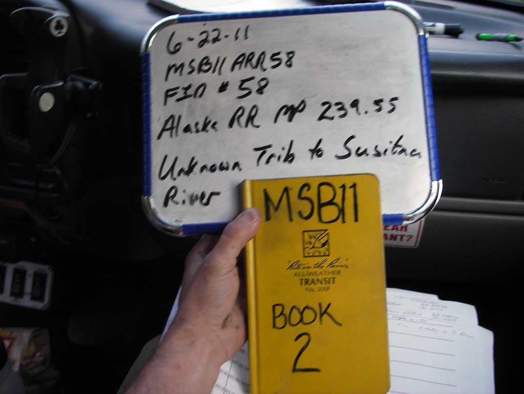
Survey MSB11-ARR58
Project Supervisor: Gillian O'Doherty, Alaska Department of Fish and Game
— Anchorage, AK
Observers: John Greuey, Abraham Gioffre
Overall Fish Passage Rating:
Tidal: No
Backwatered: No
Step Pools: No
Construction Year:
Site Observations:
- Outfall height red
- Culvert gradient red
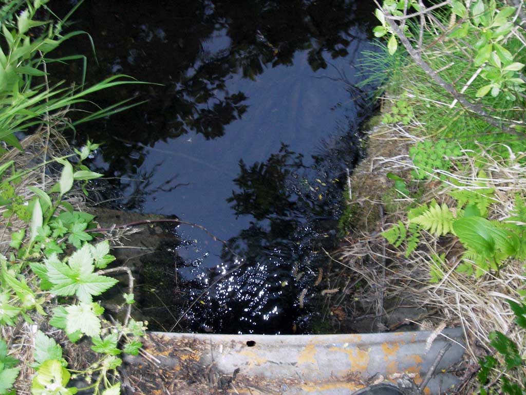
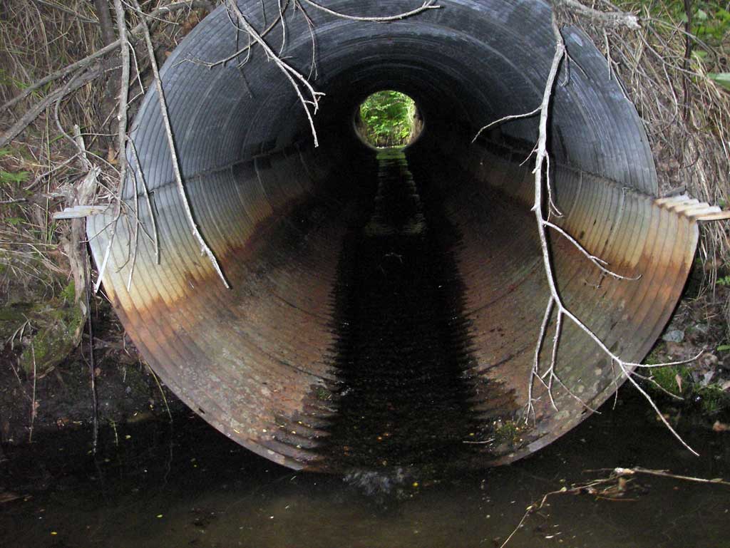
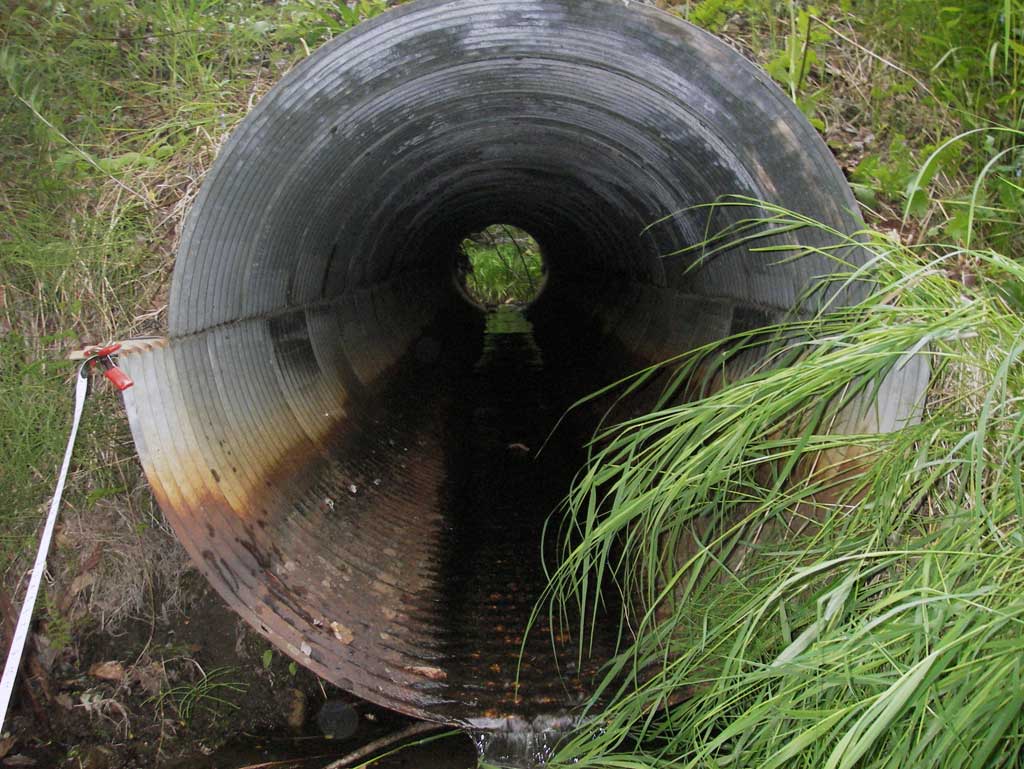
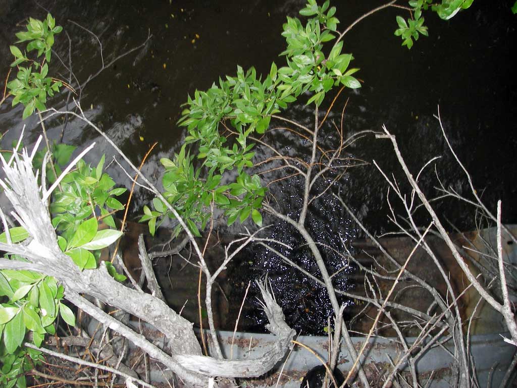
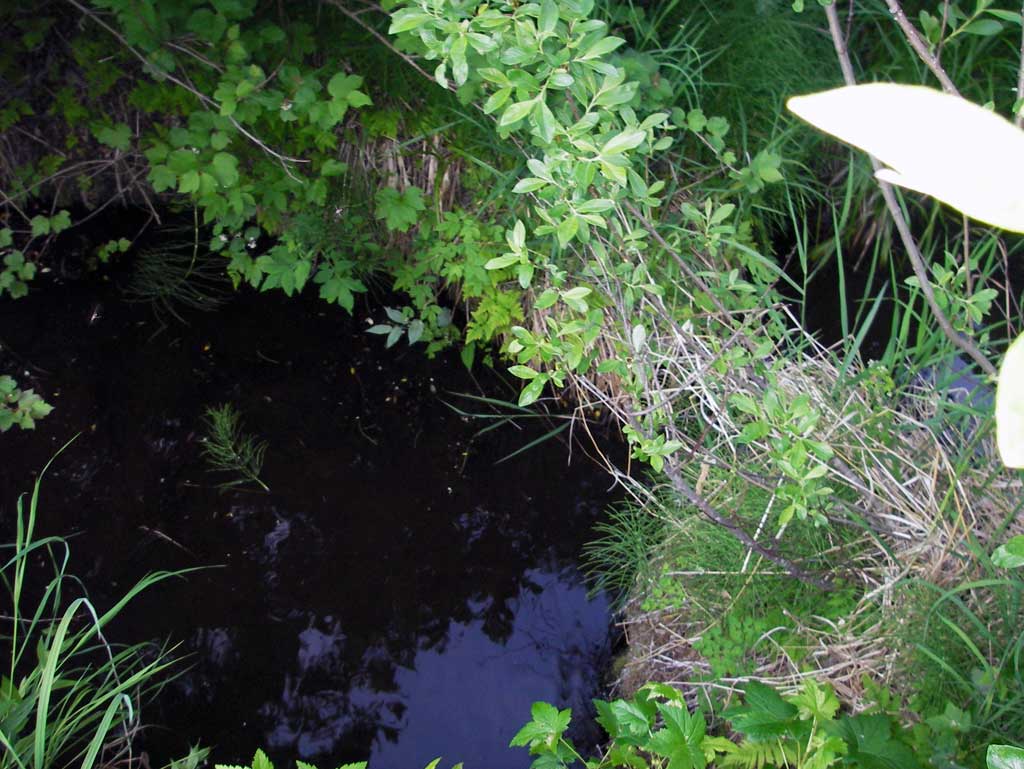
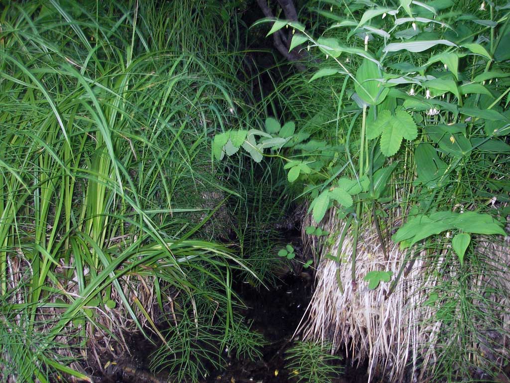
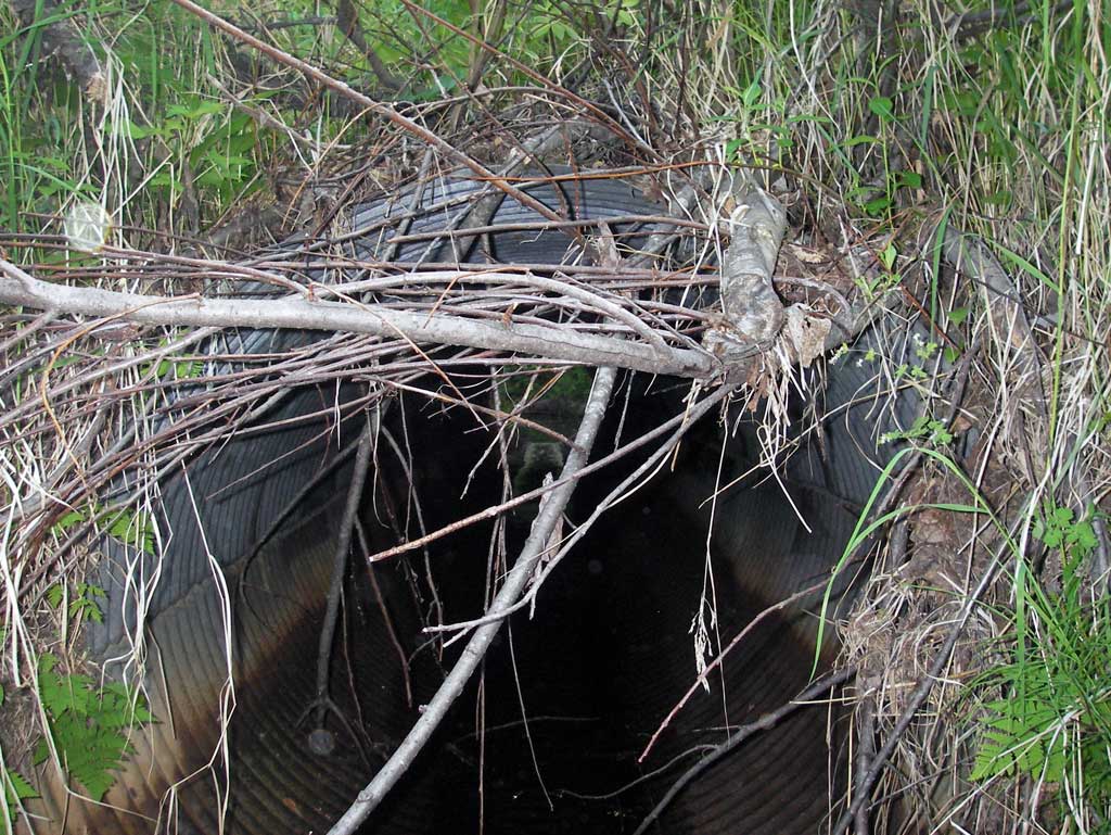
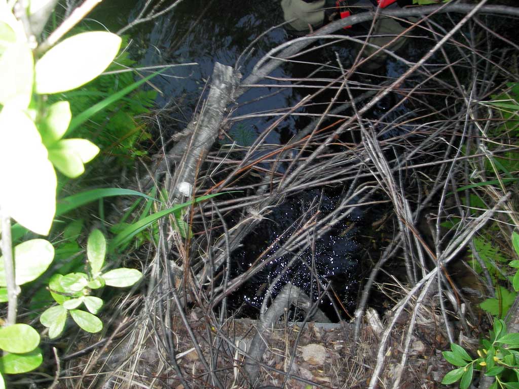
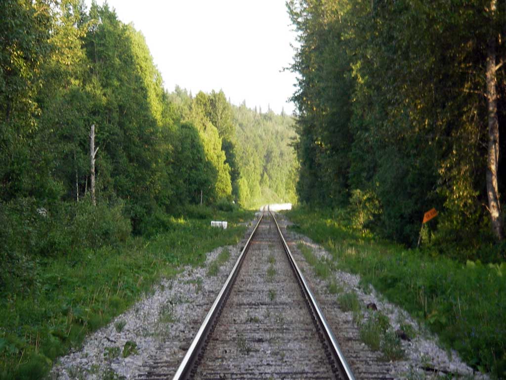
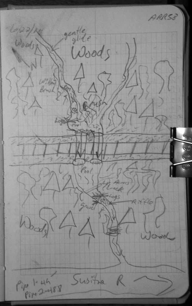
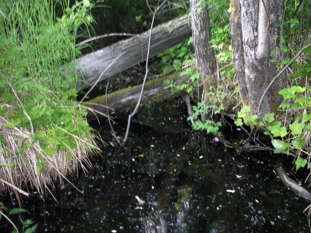
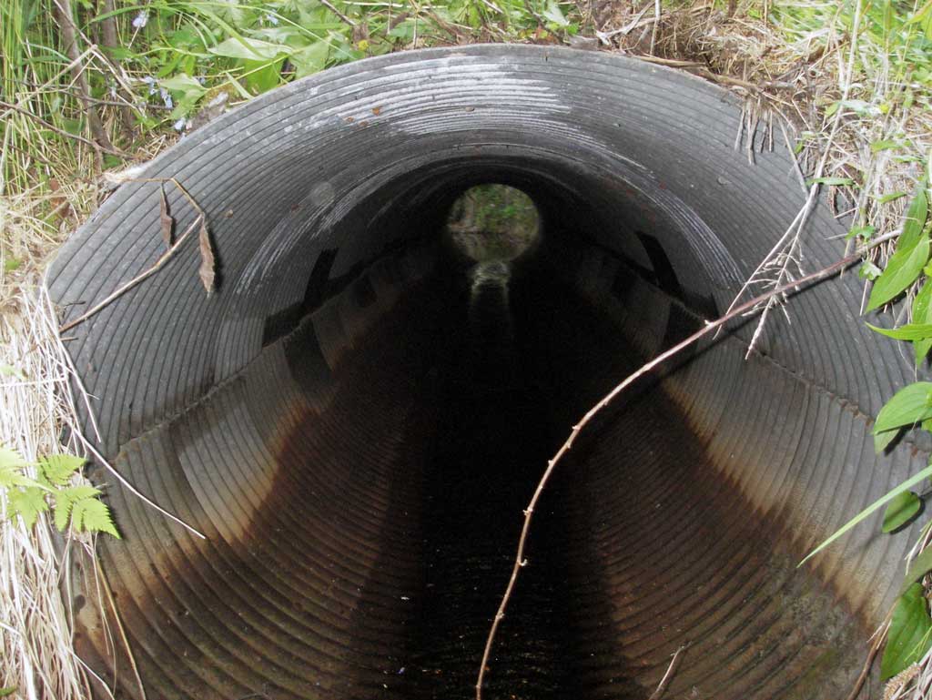
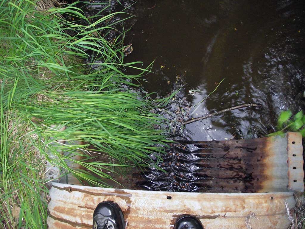
Comments: Alaska Railroad site with GIS FID # 58 at MP 239.55. Two parallel pipes in stream to convey an unnamed trib directly to Susitna River. Very thick brush/woods upst and dwst of site.
Culvert Measurements
| ID: 1 | Structure Type: Circular pipe (Corrugated steel) | Fish Passage Rating: | ||||||||||||||||||||||||||||||||||||||||||
|
|
|
||||||||||||||||||||||||||||||||||||||||||
Culvert Observations:
|
||||||||||||||||||||||||||||||||||||||||||||
| ID: 2 | Structure Type: Circular pipe (Corrugated steel) | Fish Passage Rating: | ||||||||||||||||||||||||||||||||||||||||||
|
|
|
||||||||||||||||||||||||||||||||||||||||||
Culvert Observations:
|
||||||||||||||||||||||||||||||||||||||||||||
Stream Measurements
|
|
| Stream Width Type | Distance From Crossing (ft) |
Stream Width (ft) |
|---|---|---|
| Downstream ordinary high water | 42.0 | 2.60 |
| Downstream ordinary high water | 69.0 | 4.20 |
| Downstream ordinary high water | 130.0 | 4.80 |
Elevations
| Locator ID | Culvert Number |
River Distance (ft)1 |
Distance From Crossing (ft)2 |
Relative Elevation (ft) |
|---|---|---|---|---|
| D/S Grade Ctrl (Thalweg) (Top of small riffle) | 0.00 | 87.66 | ||
| D/S Water Surface Elev | 0.00 | 88.01 | ||
| D/S Tailcrest or 1st Thalweg (Tail water control. On wooden debris.) | 12.00 | 87.87 | ||
| D/S Water Surface Elev | 12.00 | 88.07 | ||
| Outlet Pool Water Elev (Water surface elevation at max pool) | 34.00 | 88.07 | ||
| Max Pool Depth (Max pool depth) | 34.00 | 86.60 | ||
| Outlet Culvert Top | 2 | 41.00 | 91.92 | |
| Outlet Culvert Top | 1 | 41.00 | 92.30 | |
| Outlet Invert | 2 | 41.00 | 88.12 | |
| D/S Water Surface Elev (Water surface at pipe 2 outlet invert) | 2 | 41.00 | 88.18 | |
| Outlet Invert (On pipe) | 1 | 41.00 | 88.37 | |
| D/S Water Surface Elev (Water surface at Pipe 1 outlet invert) | 1 | 41.00 | 88.41 | |
| Outlet Pool Water Elev (Pool surface elevation directly outside of Pipe 1 outlet) | 1 | 41.00 | 88.03 | |
| Outlet Pool Water Elev (Pool surface elevation directly outside of pipe 2 outlet) | 2 | 41.00 | 88.06 | |
| Road Elev (Middle of railroad tracks) | 65.00 | 99.38 | ||
| Inlet Culvert Top | 1 | 89.00 | 93.05 | |
| U/S Water Surface Elev | 1 | 89.00 | 89.37 | |
| U/S Grade Ctrl (Thalweg) (Thalweg emmediately upstream of pipe 1) | 1 | 89.00 | 89.04 | |
| Inlet Culvert Invert | 1 | 89.00 | 89.19 | |
| U/S Water Surface Elev (Water surface at pipe 1 inlet invert) | 1 | 89.00 | 89.30 | |
| U/S Water Surface Elev (Water surface at pipe 2 inlet invert) | 2 | 89.80 | 89.32 | |
| U/S Water Surface Elev (Inlet pool water surface) | 2 | 89.80 | 89.34 | |
| Inlet Culvert Invert | 2 | 89.80 | 89.23 | |
| Inlet Culvert Top | 2 | 89.80 | 93.00 | |
| U/S Grade Ctrl (Thalweg) (Substrate upsream of pipe 2 in inlet pool) | 2 | 89.80 | 88.90 |
Notes:
- River distance is measured continuously throughout the survey reach along the thalweg of the stream.
- Measured from each end of the crossing along the thalweg of the stream.
Fish Sampling Efforts
No fish sampling occurred during this survey.
Fish Observations
No fish observations occurred during this survey.
Photos
Questions or comments about this report can be directed to dfg.dsf.webmaster@alaska.gov