Fish Passage Site 20501801
Coordinates (dec. deg.): 62.10559°, -150.06868°
Legal Description: S023N004W06
Region: South Central
Road Name: Alaska Railroad
Datum: NAD83
Quad Name / ITM: Talkeetna A-1
AWC Stream #:
Stream Name: Little Montana Creek
Elevation:
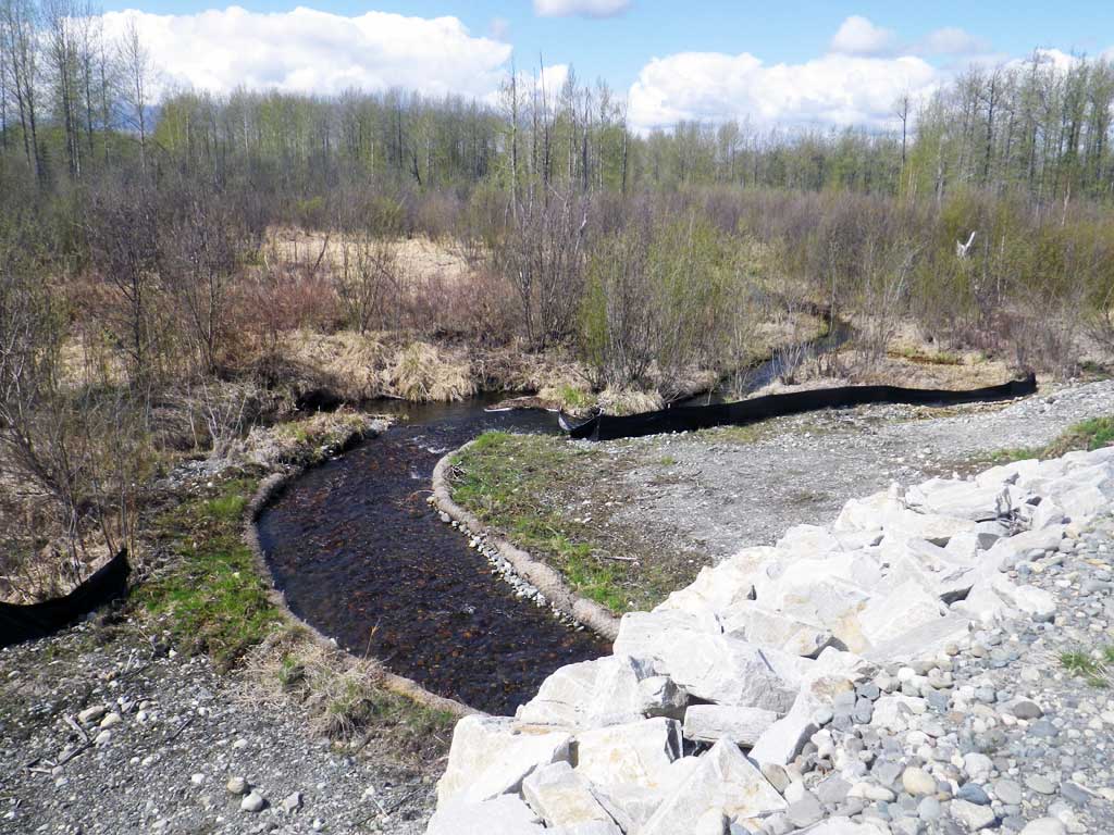
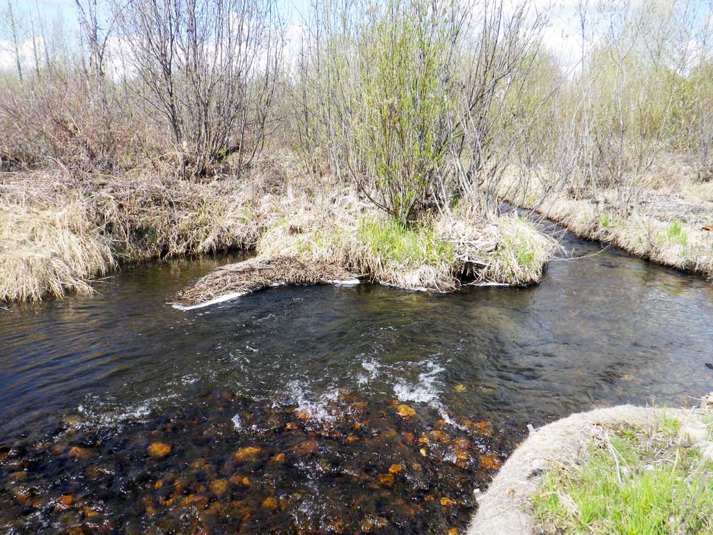
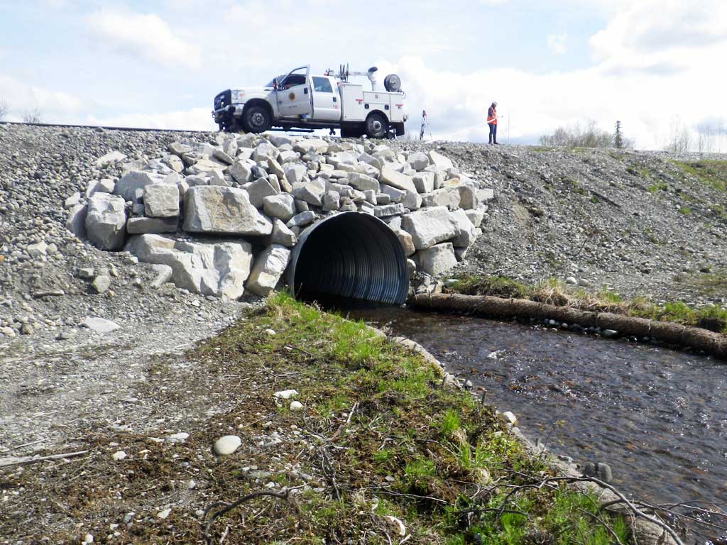
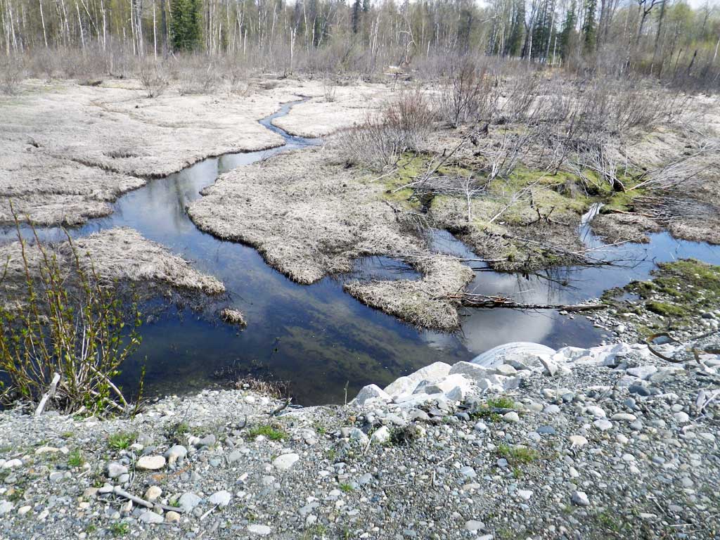
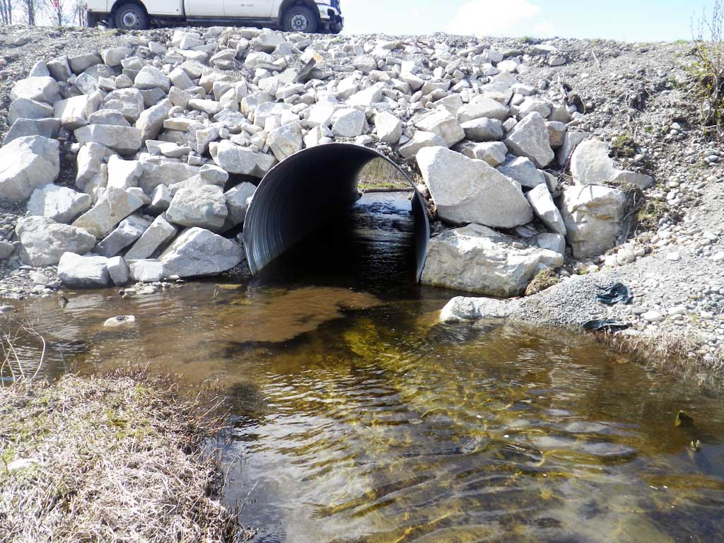
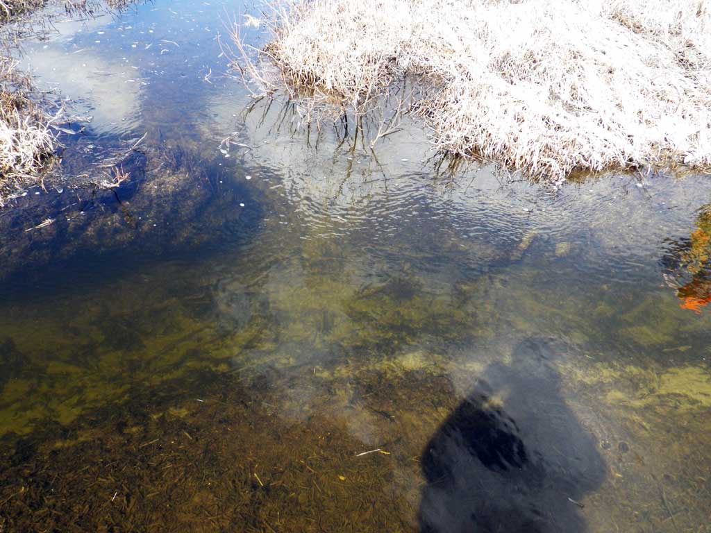
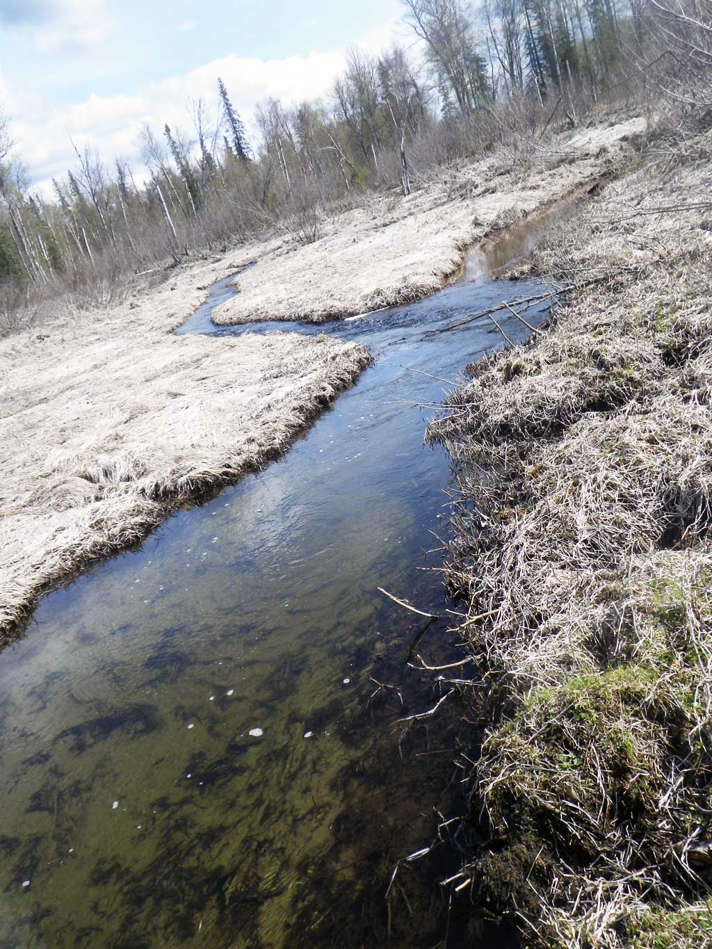
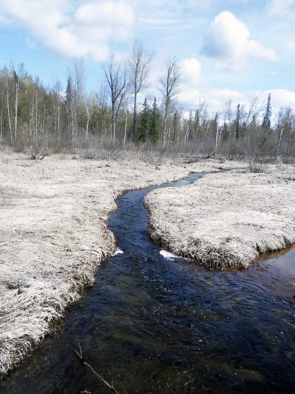
Site Comments: ARR milepost 211.15; Montana Creek side channel.
arrow to the right of the survey date below to choose a different report for this site.
Survey UPDATE-AKR08
Project Supervisor: Gillian O'Doherty, ADFG
Observers: Mark Eisenman, Gillian O'Doherty
Overall Fish Passage Rating:
Tidal: No
Backwatered: No
Step Pools: No
Construction Year: 2014
Comments: Beautiful habitat upstream and downstream of culvert. Fish observed upstream.
Culvert Measurements
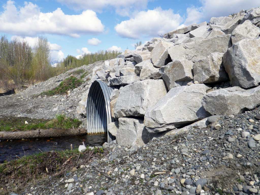
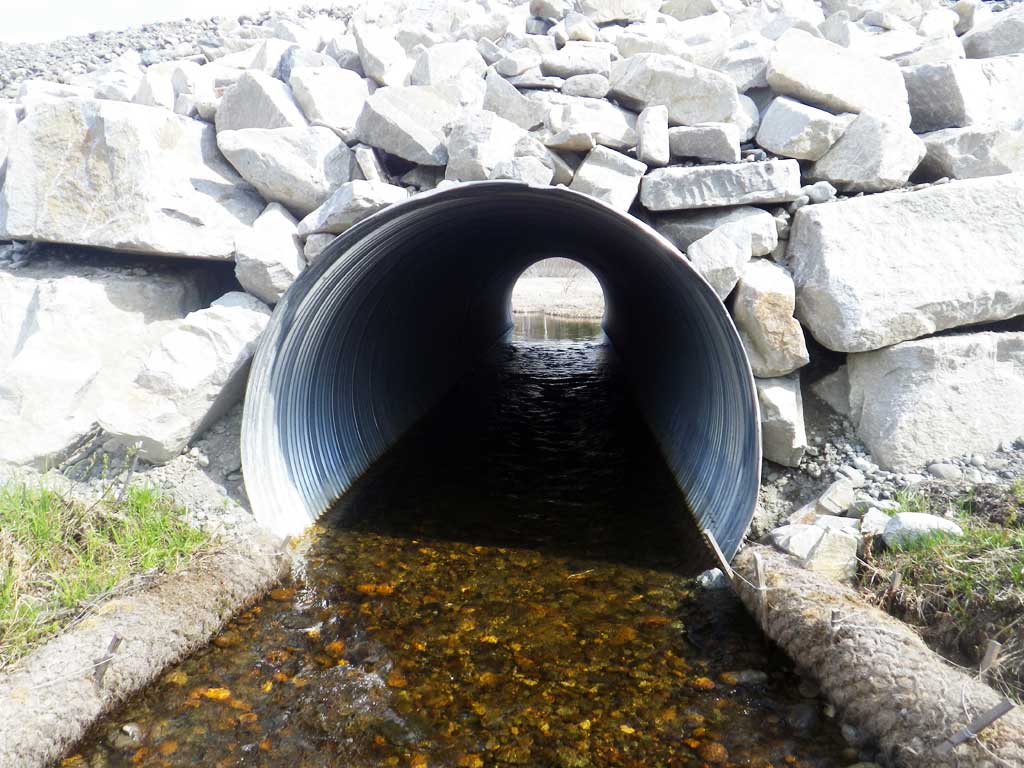
| ID: 1 | Structure Type: Circular pipe (Corrugated steel) | Fish Passage Rating: | |||||||||||||||||||||||||||||||||||||||||
|
|
|
|||||||||||||||||||||||||||||||||||||||||
Comments: Culvert not technically embedded and set a little high, but there is substrate throughout barrel. |
|||||||||||||||||||||||||||||||||||||||||||
Stream Measurements
|
|
No stream width data available.
Elevations
| Locator ID | Culvert Number |
River Distance (ft)1 |
Distance From Crossing (ft)2 |
Relative Elevation (ft) |
|---|---|---|---|---|
| D/S Grade Ctrl (Thalweg) | 0.00 | 83.03 | ||
| D/S Water Surface Elev | 0.00 | 83.69 | ||
| D/S Water Surface Elev (Pool Water surface) | 11.00 | 83.66 | ||
| Max Pool Depth | 11.00 | 79.72 | ||
| D/S Water Surface Elev | 18.00 | 83.91 | ||
| D/S Thalweg (End of rocky ramp) | 18.00 | 84.44 | ||
| Outlet Invert (On substrate) | 64.00 | 84.49 | ||
| D/S Water Surface Elev | 64.00 | 85.09 | ||
| Outlet Culvert Top | 64.00 | 91.08 | ||
| Inlet Culvert Top | 124.50 | 91.18 | ||
| U/S Water Surface Elev | 124.50 | 85.34 | ||
| Inlet Culvert Invert | 124.50 | 84.18 | ||
| U/S Water Surface Elev | 236.50 | 85.38 |
Notes:
- River distance is measured continuously throughout the survey reach along the thalweg of the stream.
- Measured from each end of the crossing along the thalweg of the stream.
Fish Sampling Efforts
No fish sampling occurred during this survey.
Fish Observations
No fish observations occurred during this survey.
Photos


Questions or comments about this report can be directed to dfg.dsf.webmaster@alaska.gov