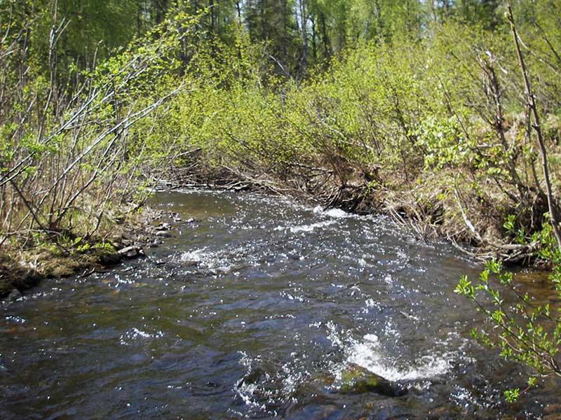
Fish Passage Site 20501526
Coordinates (dec. deg.): 62.14024°, -149.98689°
Legal Description: S024N004W27
Region: South Central
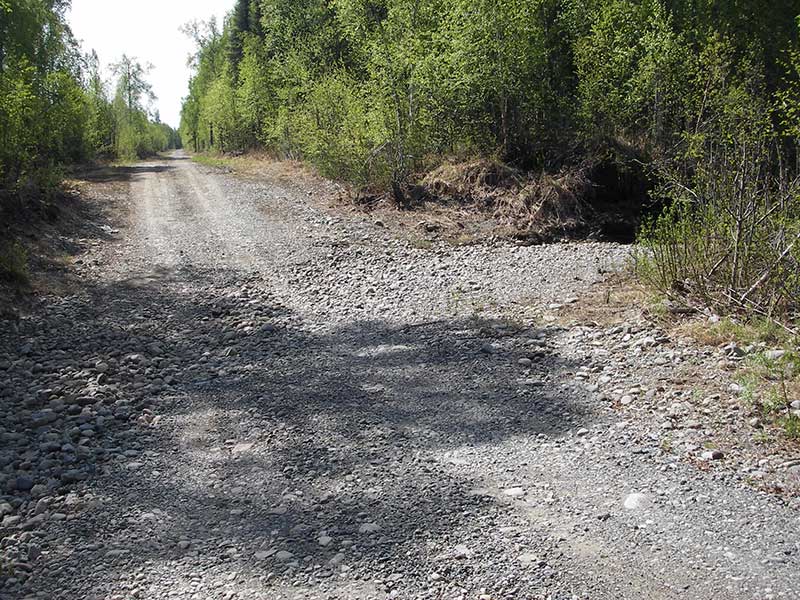
Road Name: Sawyer's Shady Street
Datum: WGS84
Quad Name / ITM: Talkeetna Mts A-6
AWC Stream #:
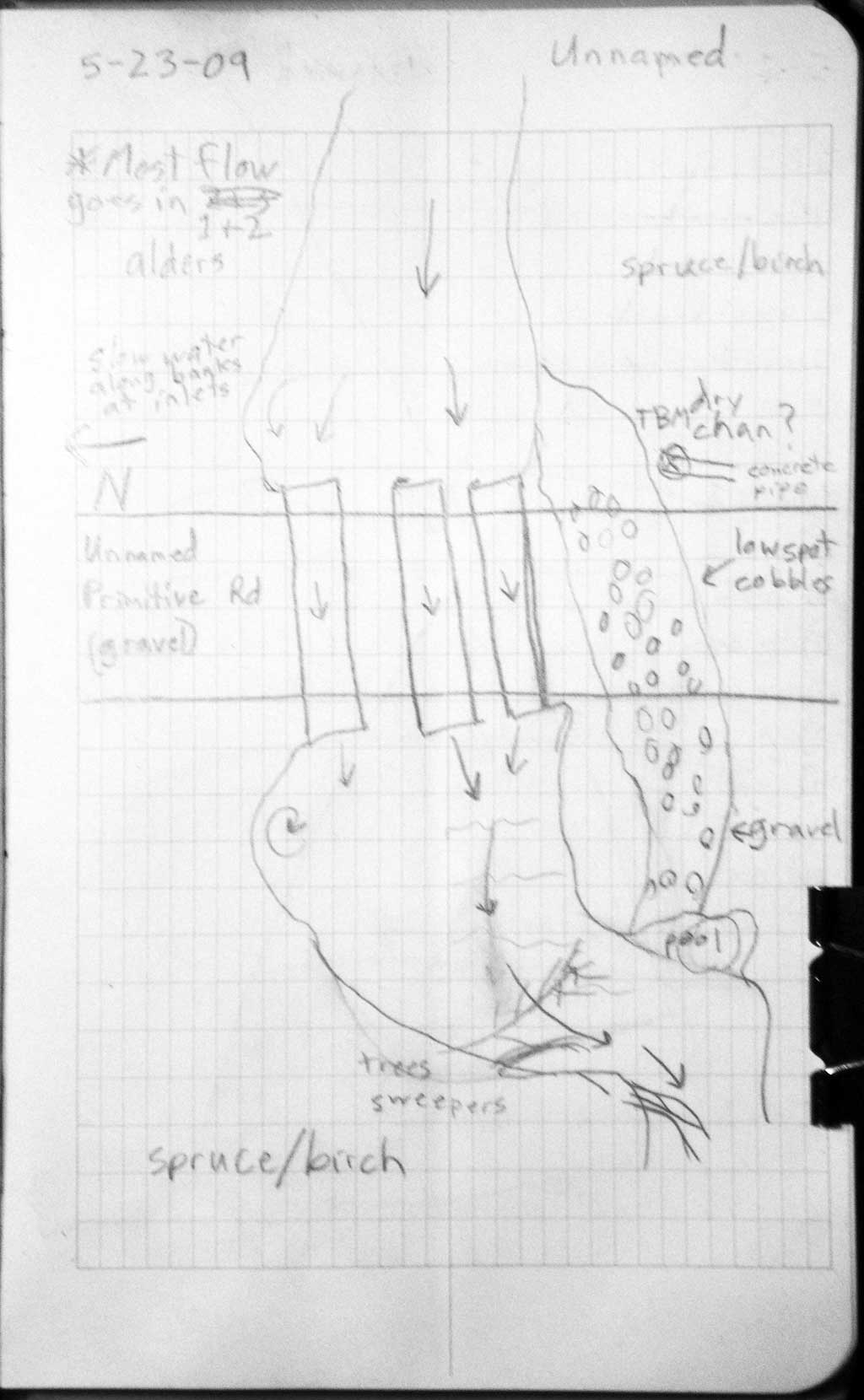
Stream Name: Buddy Creek
Elevation:
Site Comments: None
arrow to the right of the survey date below to choose a different report for this site.
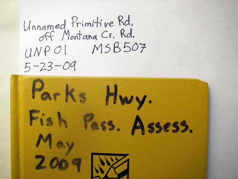
Survey PRK09-UNP01
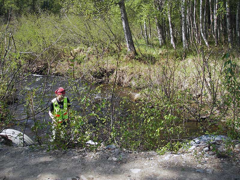
Project Supervisor: Gillian O'Doherty, ADFG
Observers: Heidi Zimmer, Ben Histand
Overall Fish Passage Rating:
Tidal: No
Backwatered: No
Step Pools:
Construction Year:
Site Observations:
- Constriction ratio red
- Culvert gradient red
- Mechanical damage or joints parting
- Compound gradient in pipe
- Shallow fill; inadequate roadfill volume above culvert
- Outfall height gray
Comments: None
Culvert Measurements
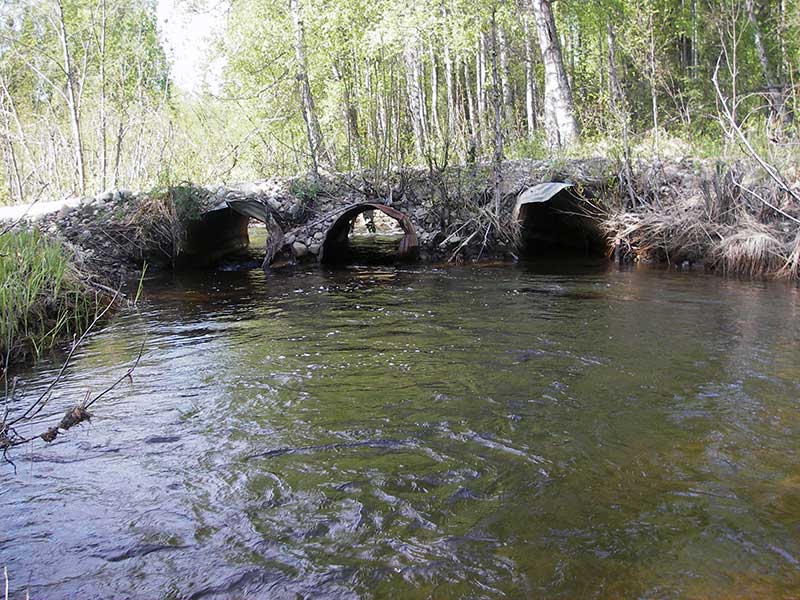
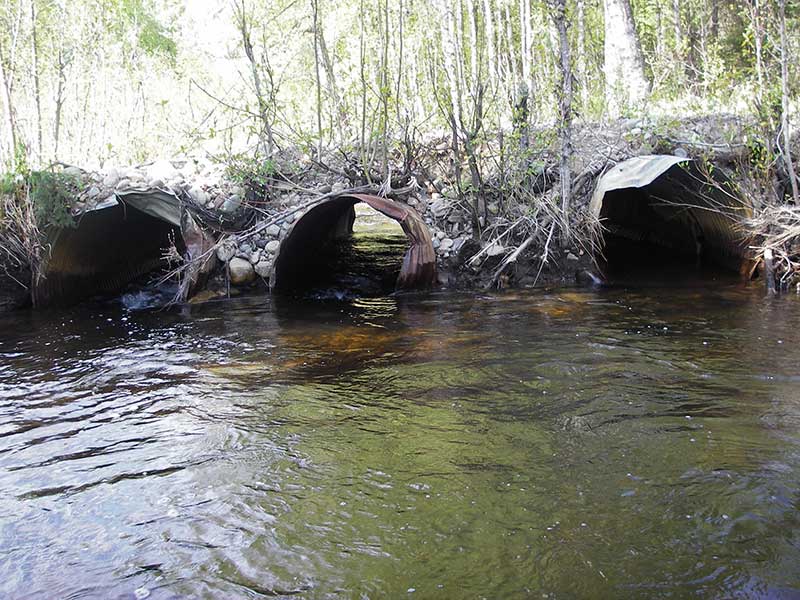
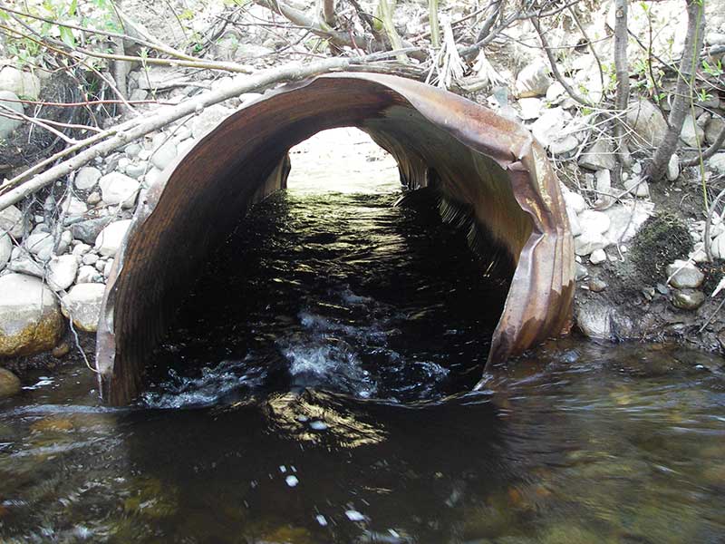
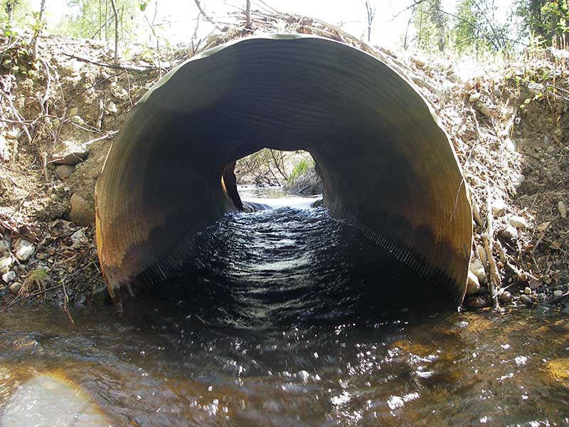
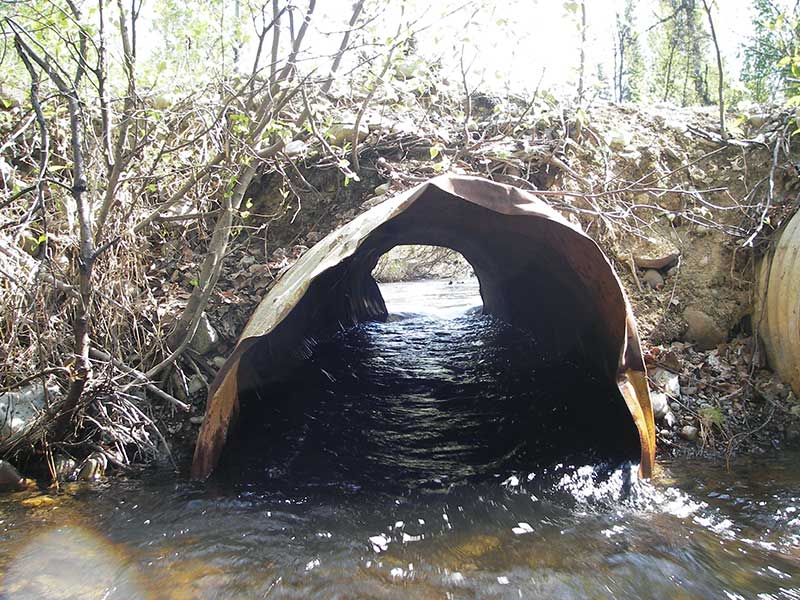
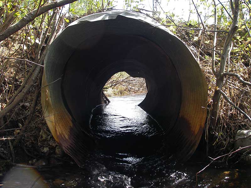
| ID: 1 | Structure Type: Circular pipe (Corrugated steel) | Fish Passage Rating: | |||||||||||||||||||||||||||||||||||||||||
|
|
|
|||||||||||||||||||||||||||||||||||||||||
Culvert Observations:
|
|||||||||||||||||||||||||||||||||||||||||||
| ID: 2 | Structure Type: Circular pipe (Corrugated steel) | Fish Passage Rating: | |||||||||||||||||||||||||||||||||||||||||
|
|
|
|||||||||||||||||||||||||||||||||||||||||
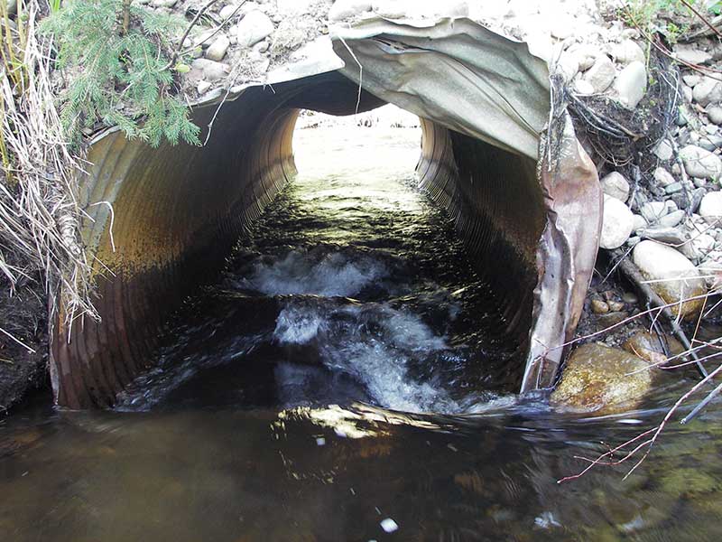
Comments: Pipe 2 opening is bent; OH due to turbulence |
|||||||||||||||||||||||||||||||||||||||||||
Culvert Observations:
|
|||||||||||||||||||||||||||||||||||||||||||
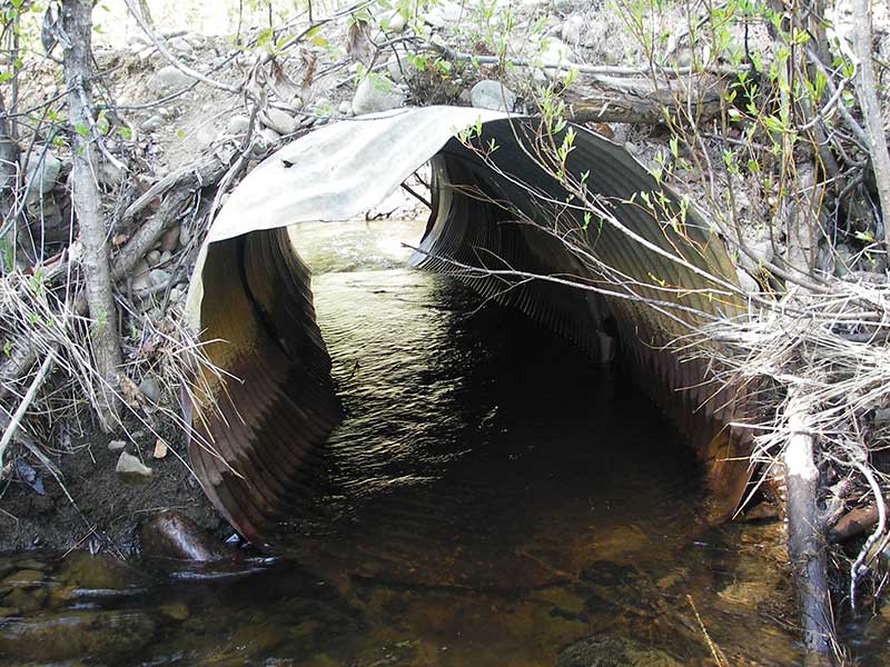
| ID: 3 | Structure Type: Circular pipe (Corrugated steel) | Fish Passage Rating: | |||||||||||||||||||||||||||||||||||||||||
|
|
|
|||||||||||||||||||||||||||||||||||||||||
Comments: outlet 3 has 2nd pipe fitted at end |
|||||||||||||||||||||||||||||||||||||||||||
Culvert Observations:
|
|||||||||||||||||||||||||||||||||||||||||||
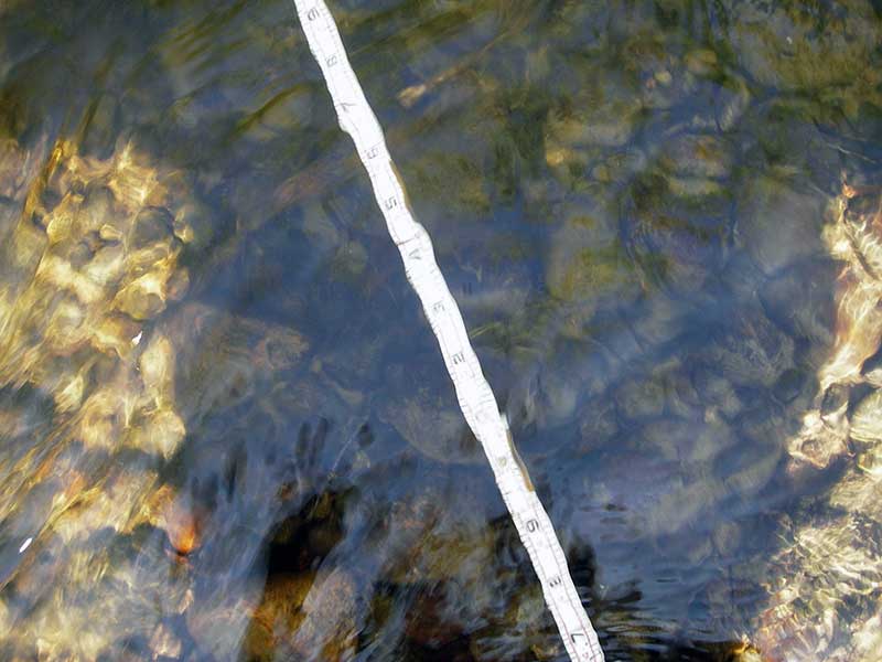
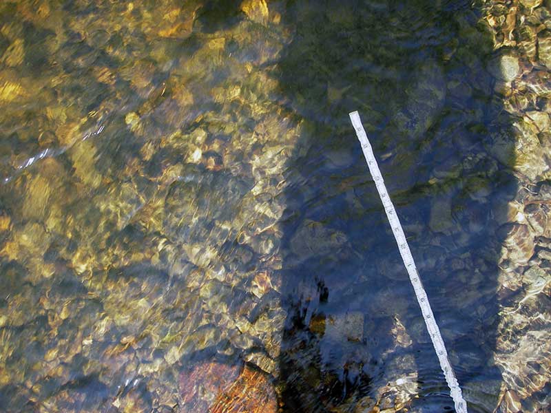
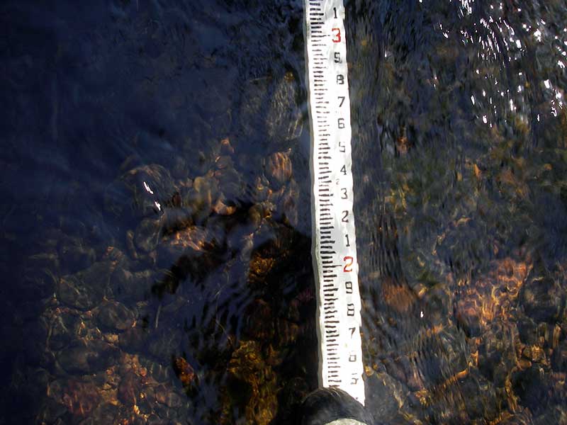
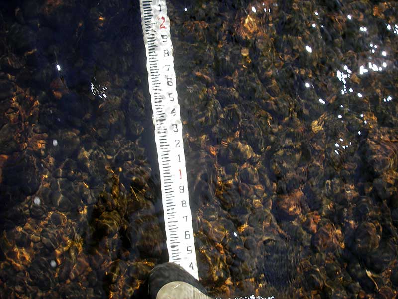
Stream Measurements
|
|
| Stream Width Type | Distance From Crossing (ft) |
Stream Width (ft) |
|---|---|---|
| Upstream ordinary high water | 80.0 | 18.00 |
| Upstream ordinary high water | 130.0 | 16.50 |
| Upstream ordinary high water | 190.0 | 16.00 |
Elevations
| Locator ID | Culvert Number |
River Distance (ft)1 |
Distance From Crossing (ft)2 |
Relative Elevation (ft) |
|---|---|---|---|---|
| Outlet Pool Water Elev | 1 | 96.88 | ||
| Outlet Pool Water Elev | 2 | 96.89 | ||
| Outlet Pool Water Elev | 3 | 97.03 | ||
| U/S Headwater | 1 | 97.46 | ||
| U/S Headwater | 3 | 97.49 | ||
| U/S Headwater | 2 | 97.50 | ||
| D/S Water Surface Elev (ws at TWC) | 0.00 | 6.7 | 96.88 | |
| D/S Tailcrest or 1st Thalweg (TWC pipe 1 GP for main thalweg) | 0.00 | 6.7 | 95.56 | |
| D/S Thalweg | 3 | 1.70 | 5.0 | 95.28 |
| D/S Thalweg | 1 | 1.70 | 5.0 | 95.32 |
| D/S Thalweg | 2 | 1.70 | 5.0 | 95.87 |
| Outlet Invert | 1 | 6.70 | 0.0 | 95.69 |
| Outlet Invert | 2 | 6.70 | 0.0 | 95.78 |
| Outlet Invert | 3 | 6.70 | 0.0 | 96.68 |
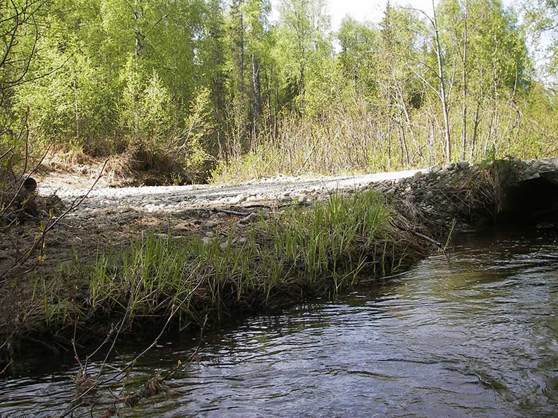
| Road Elev | 16.20 | 101.11 | ||
| Inlet Culvert Invert | 1 | 25.70 | 0.0 | 95.97 |
| Inlet Culvert Invert | 3 | 25.70 | 0.0 | 96.48 |
| Inlet Culvert Invert | 2 | 25.70 | 0.0 | 95.41 |
| U/S Thalweg | 2 | 26.50 | 0.8 | 95.67 |
| U/S Thalweg | 1 | 26.70 | 1.0 | 95.87 |
Notes:
- River distance is measured continuously throughout the survey reach along the thalweg of the stream.
- Measured from each end of the crossing along the thalweg of the stream.
Fish Sampling Efforts
No fish sampling occurred during this survey.
Fish Observations
No fish observations occurred during this survey.
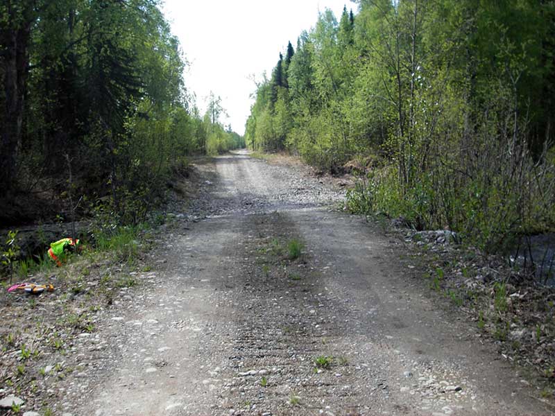
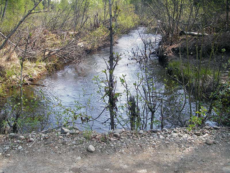
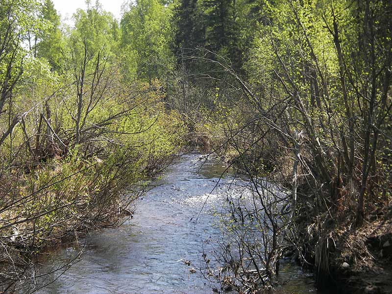
Photos

Questions or comments about this report can be directed to dfg.dsf.webmaster@alaska.gov