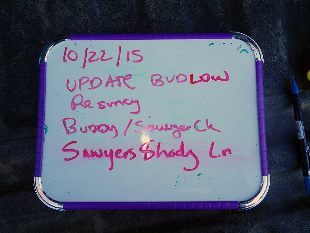
Fish Passage Site 20501526
Coordinates (dec. deg.): 62.14024°, -149.98689°
Legal Description: S024N004W27
Region: South Central
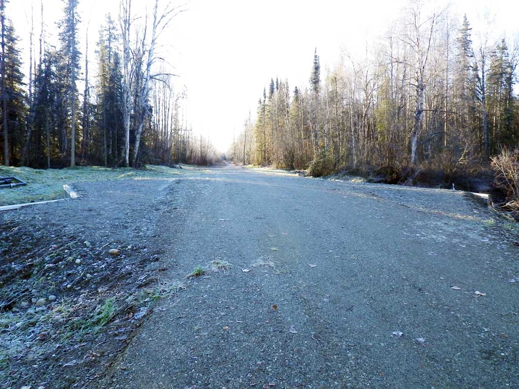
Road Name: Sawyer's Shady Street
Datum: WGS84
Quad Name / ITM: Talkeetna Mts A-6
AWC Stream #:
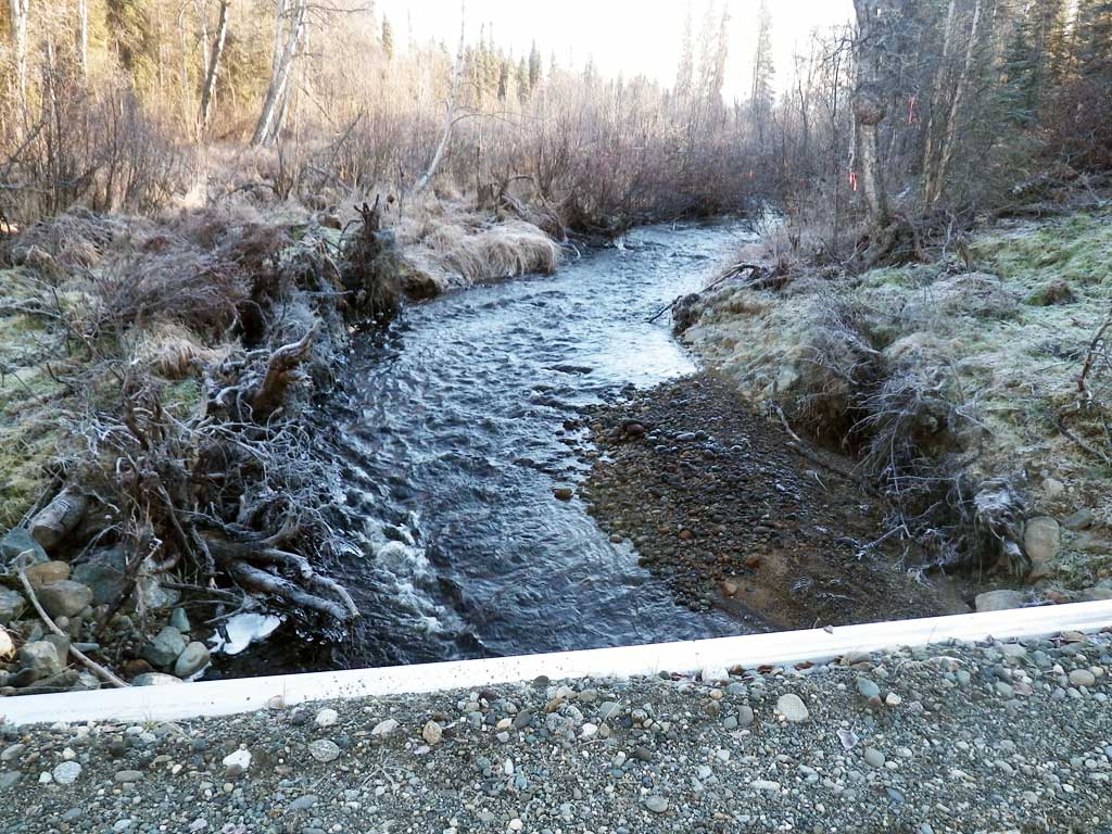
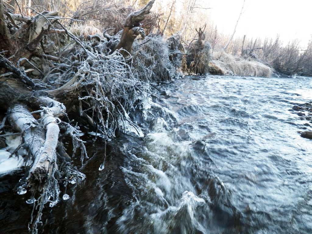
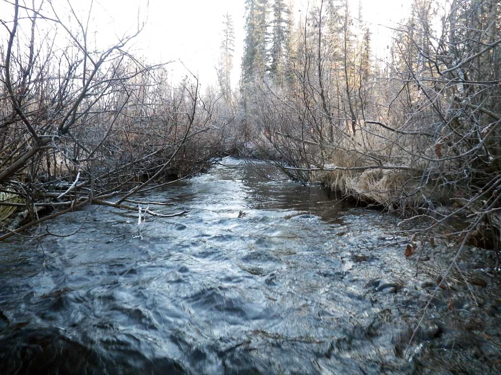
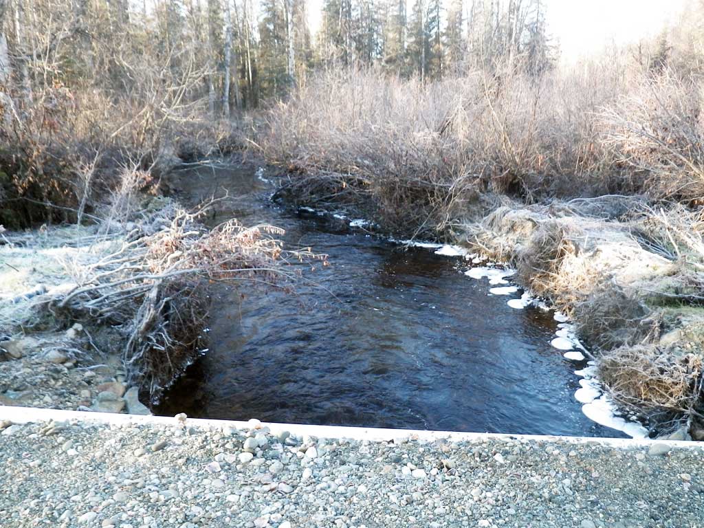
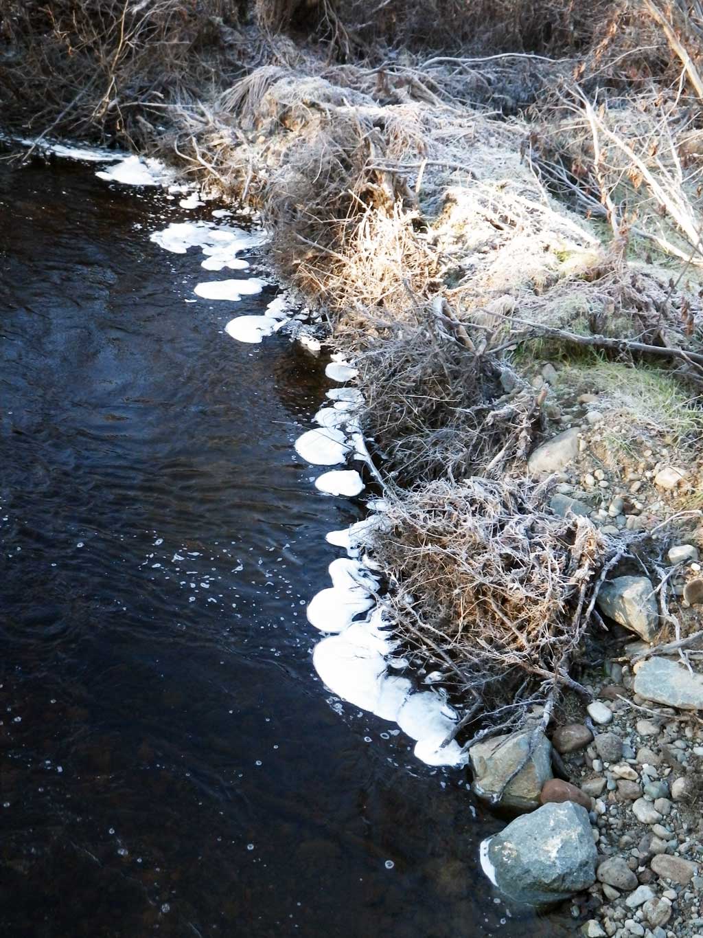
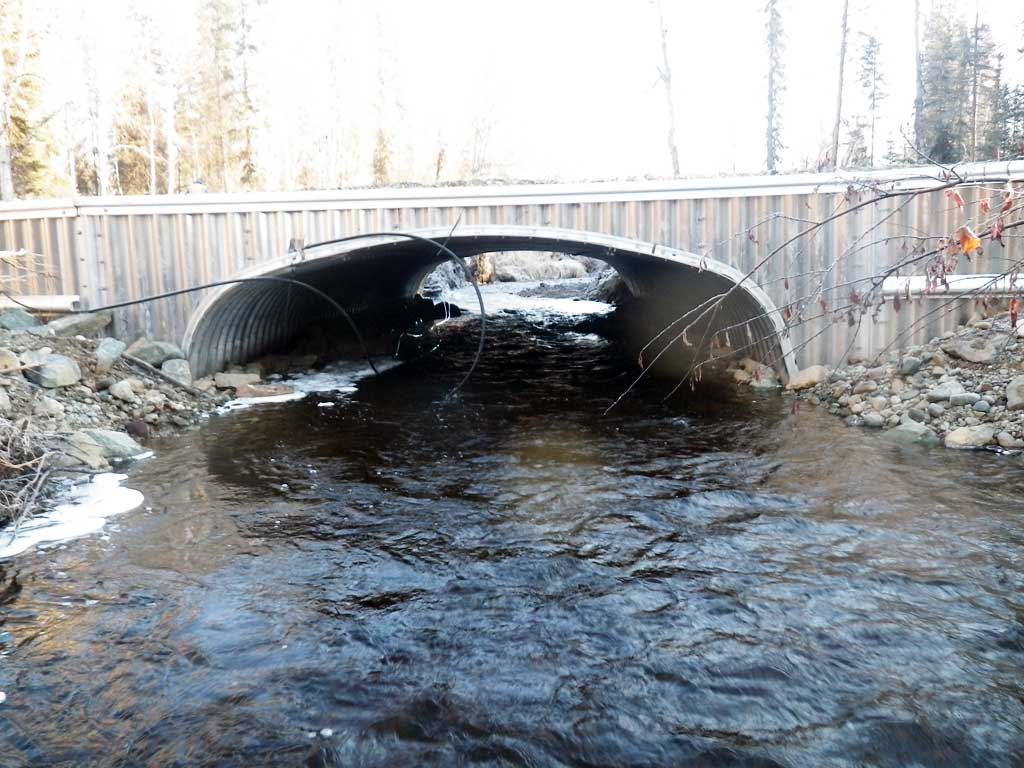
Stream Name: Buddy Creek
Elevation:
Site Comments: None
arrow to the right of the survey date below to choose a different report for this site.
Survey UPDATE-01526
Project Supervisor: Gillian O'Doherty, ADFG
Observers: Gillian O'Doherty, Mark Eisenman
Overall Fish Passage Rating:
Tidal: No
Backwatered: No
Step Pools: No
Construction Year: 2015
Site Observations:
- None of this type
Comments: Site replaced July 2015, resurveyed Oct 23, 2015.
Culvert Measurements
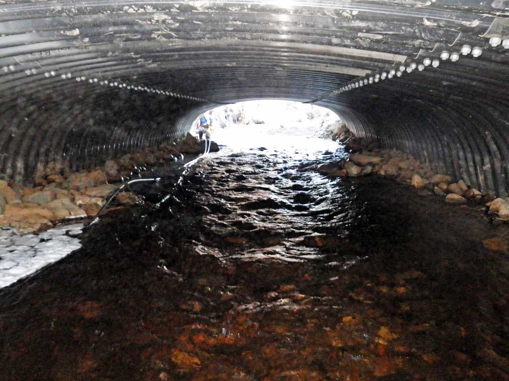
| ID: 1 | Structure Type: Box culvert (Structural aluminum plate) | Fish Passage Rating: | ||||||||||||||||||||||||||||||||||||||||||
|
|
|
||||||||||||||||||||||||||||||||||||||||||
Culvert Observations:
|
||||||||||||||||||||||||||||||||||||||||||||
Stream Measurements
|
|
No stream width data available.
Elevations
| Locator ID | Culvert Number |
River Distance (ft)1 |
Distance From Crossing (ft)2 |
Relative Elevation (ft) |
|---|---|---|---|---|
| Road Elev | 100.45 | |||
| Outlet Culvert Top (On collar, not perfect) | 0.00 | 97.68 | ||
| Outlet Invert (On substrate) | 0.00 | 91.43 | ||
| D/S Water Surface Elev | 0.00 | 92.92 | ||
| U/S Water Surface Elev | 50.40 | 93.44 | ||
| Inlet Culvert Invert (On substrate) | 50.40 | 92.10 | ||
| Inlet Culvert Top (On collar) | 50.40 | 98.33 |
Notes:
- River distance is measured continuously throughout the survey reach along the thalweg of the stream.
- Measured from each end of the crossing along the thalweg of the stream.
Fish Sampling Efforts
No fish sampling occurred during this survey.
Fish Observations
No fish observations occurred during this survey.
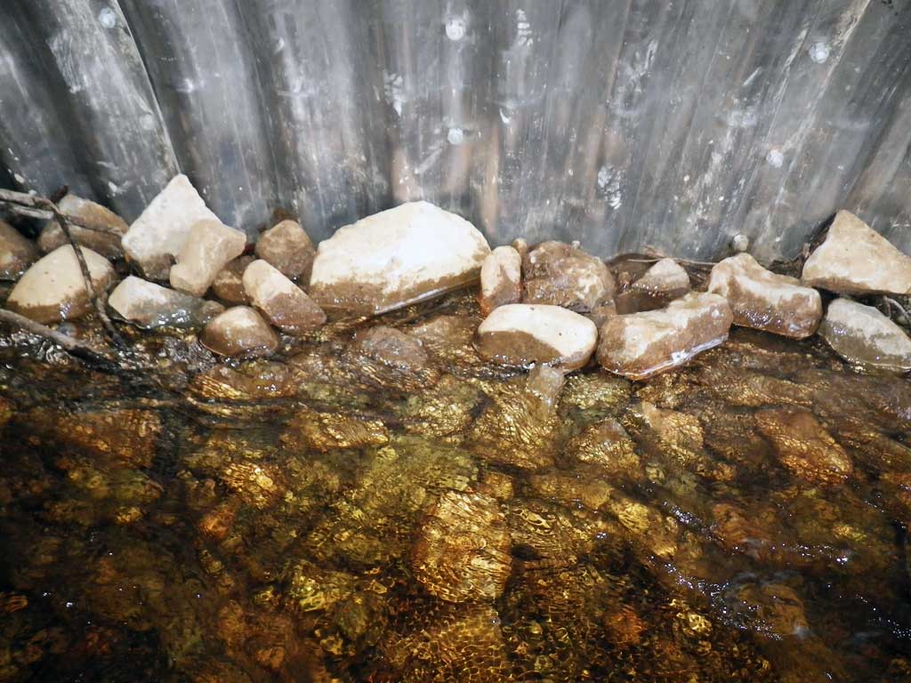
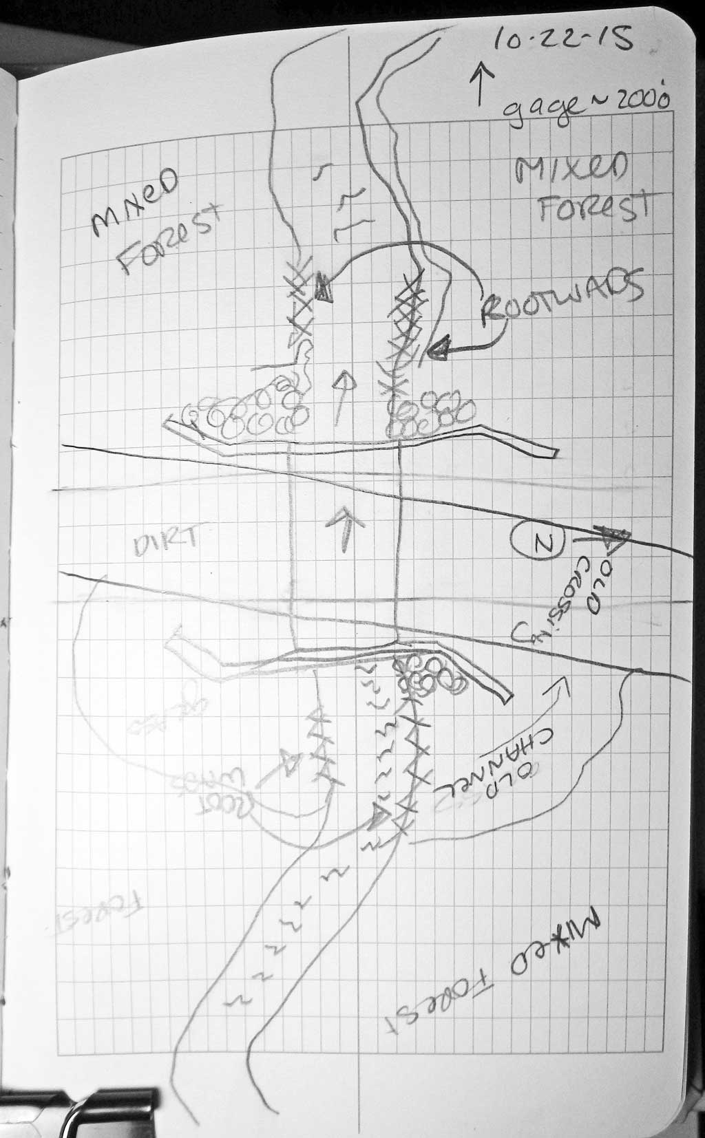
Photos


Questions or comments about this report can be directed to dfg.dsf.webmaster@alaska.gov