Fish Passage Site 20501520
Coordinates (dec. deg.): 61.99387°, -149.96294°
Legal Description: S022N004W14
Region: South Central
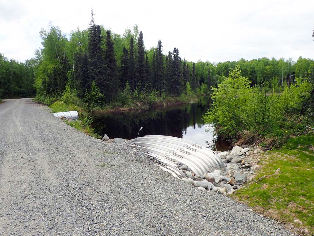
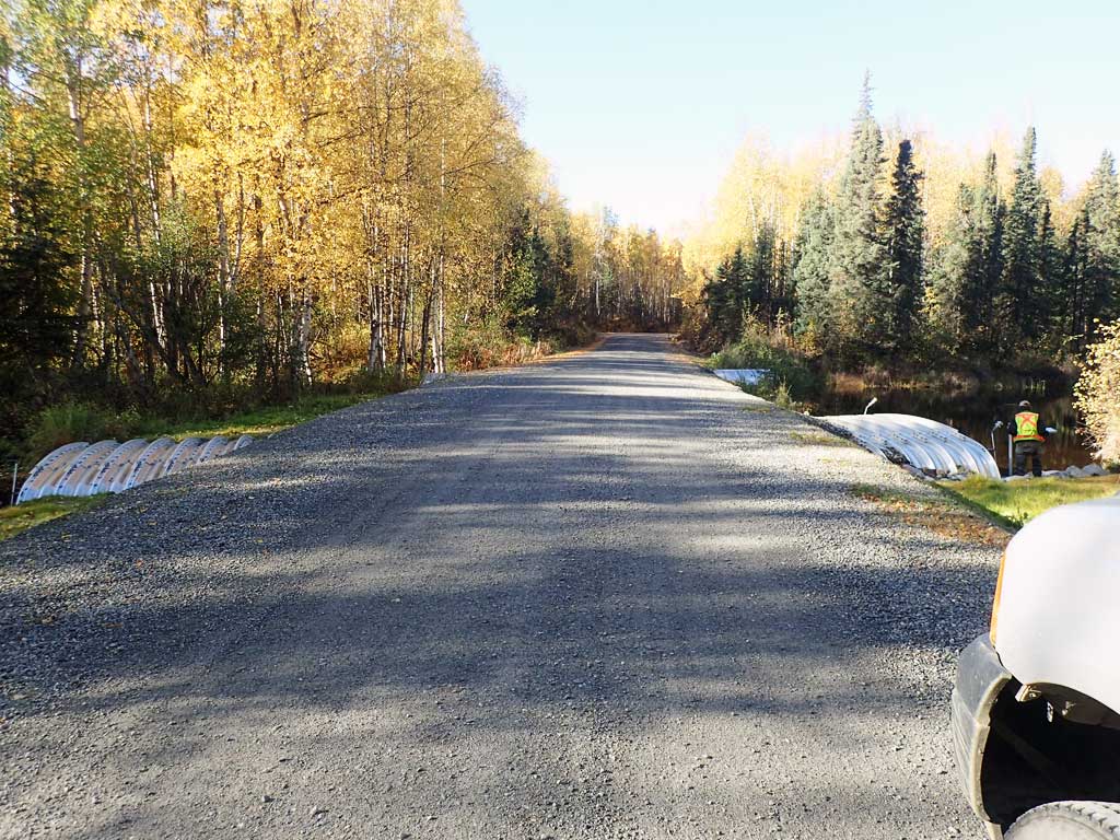
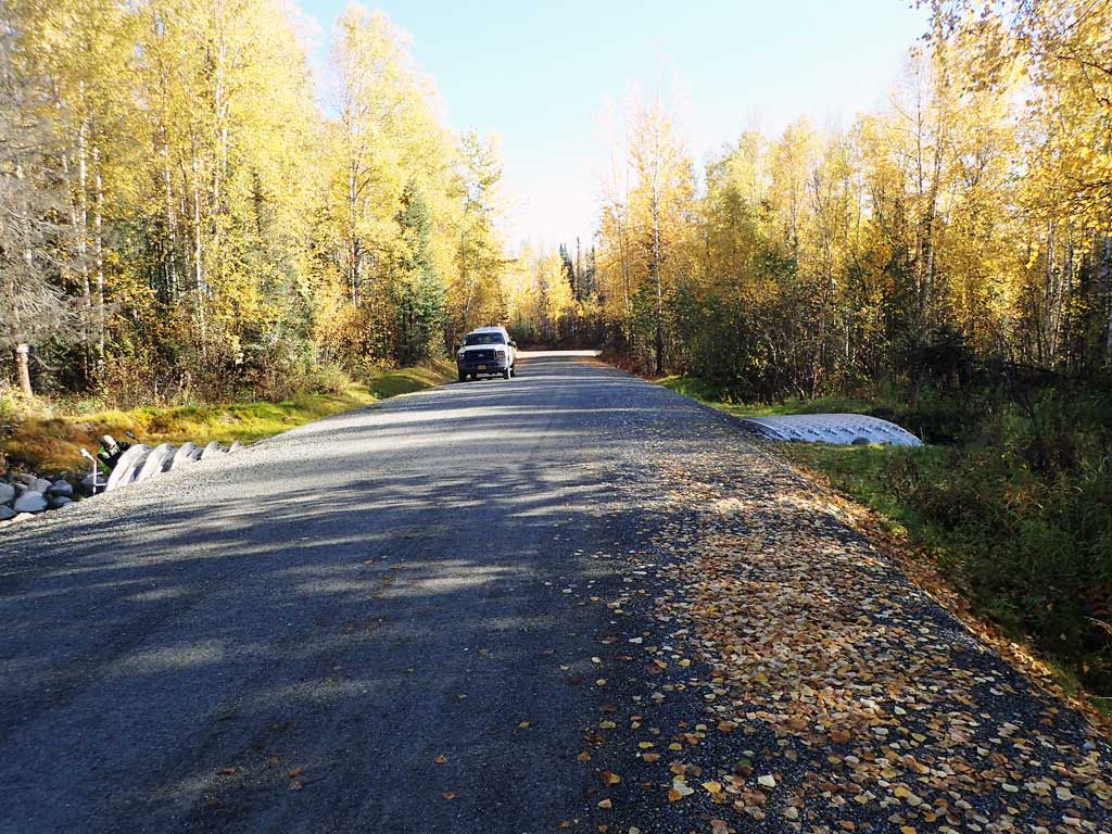
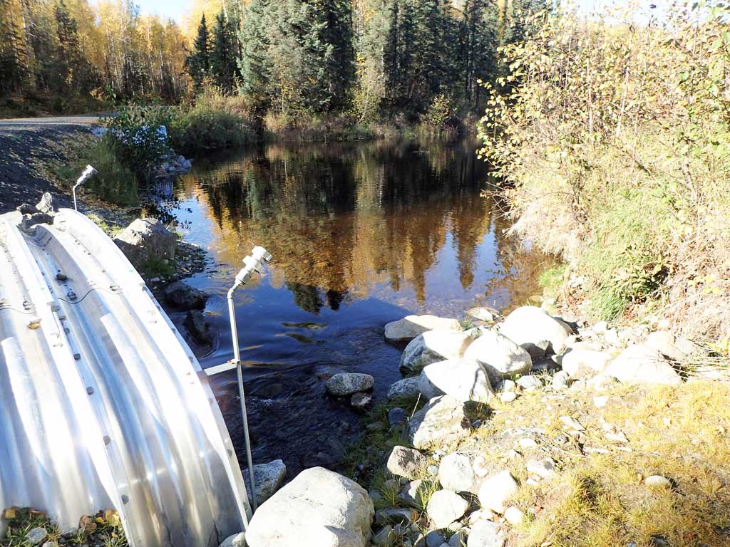
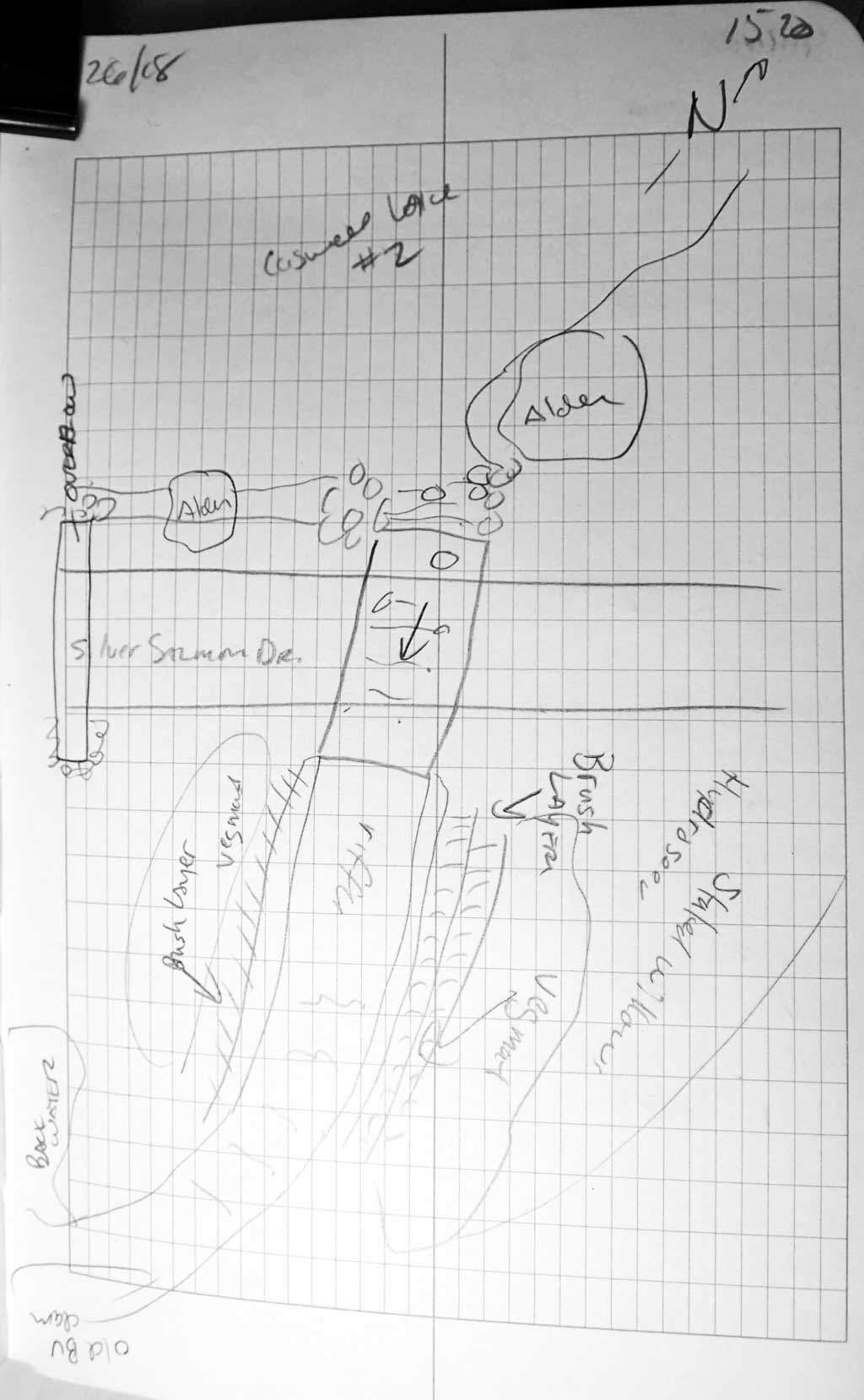
Road Name: South Silver Salmon Drive
Datum: WGS84
Quad Name / ITM: Anchorage D-8
AWC Stream #: 247-41-10200-2190-3020
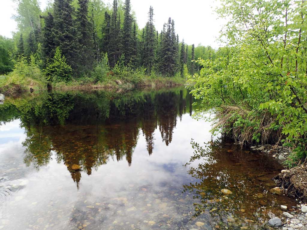
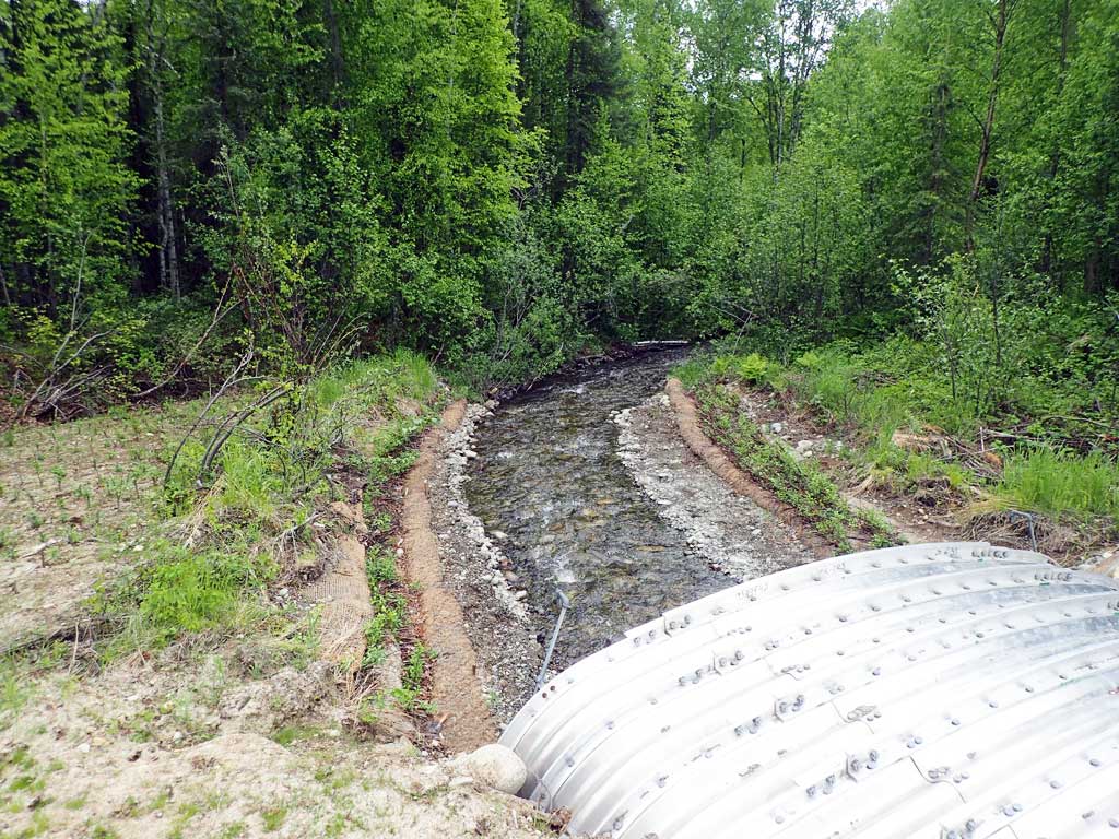
Stream Name: Caswell Creek tributary
Elevation:
Site Comments: None
arrow to the right of the survey date below to choose a different report for this site.
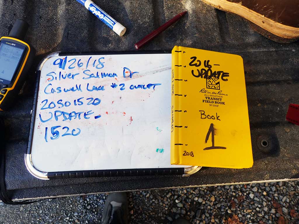
Survey UPDATE-1520
Project Supervisor: Gillian O'Doherty, ADFG
Observers: Mark Eisenman
Overall Fish Passage Rating:
Tidal: No
Backwatered: No
Step Pools: No
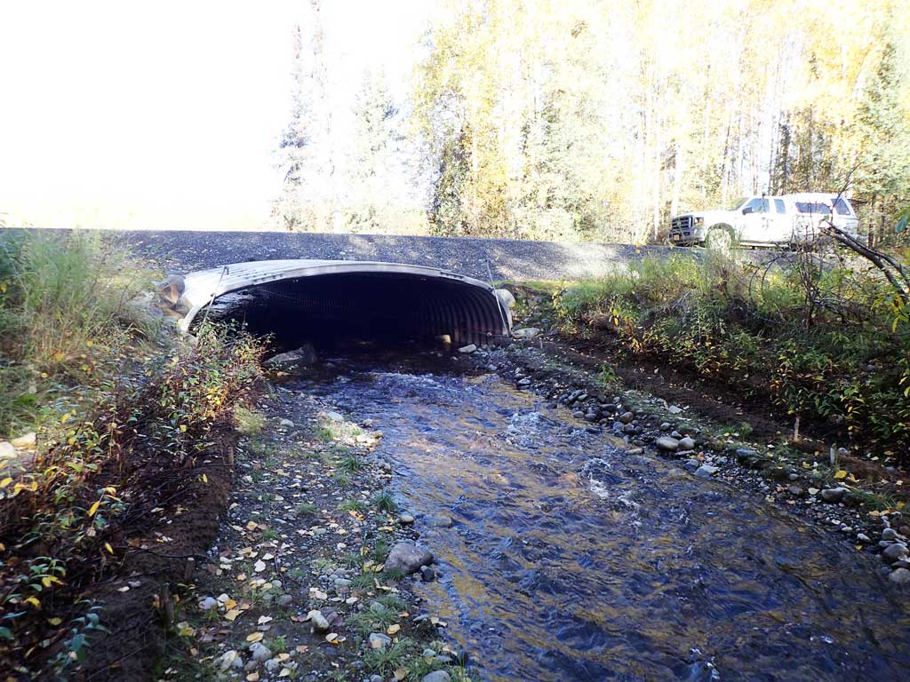
Construction Year: 2017
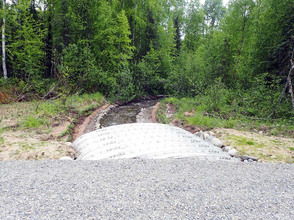
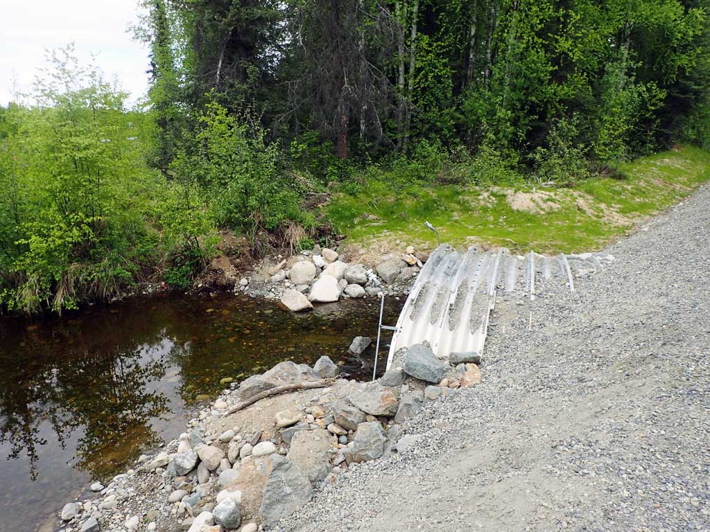
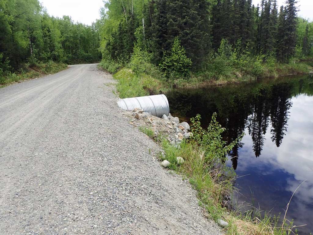
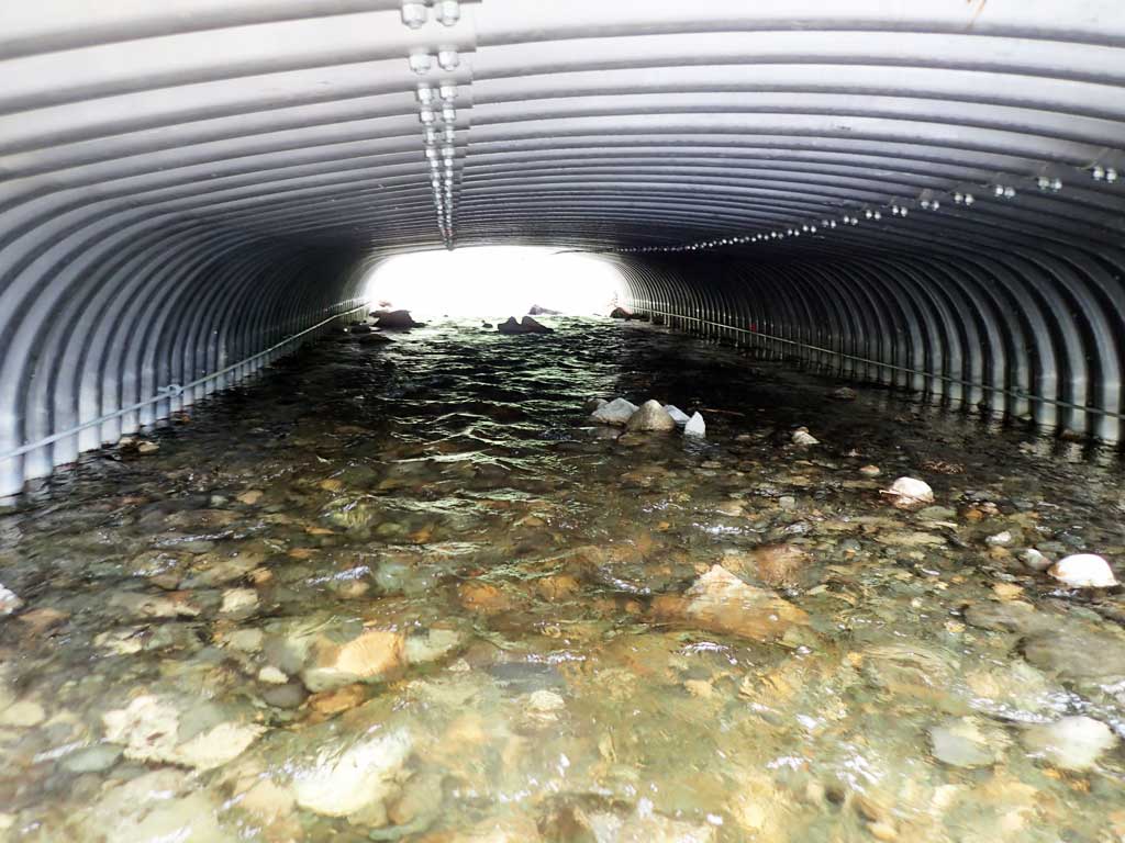
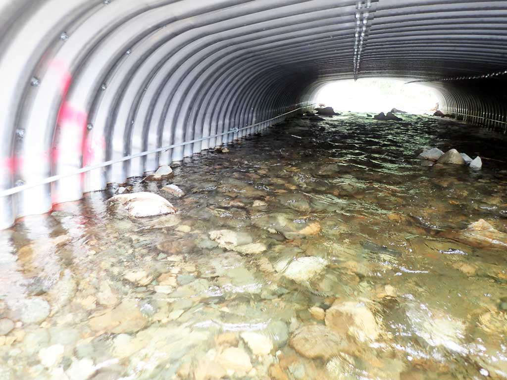
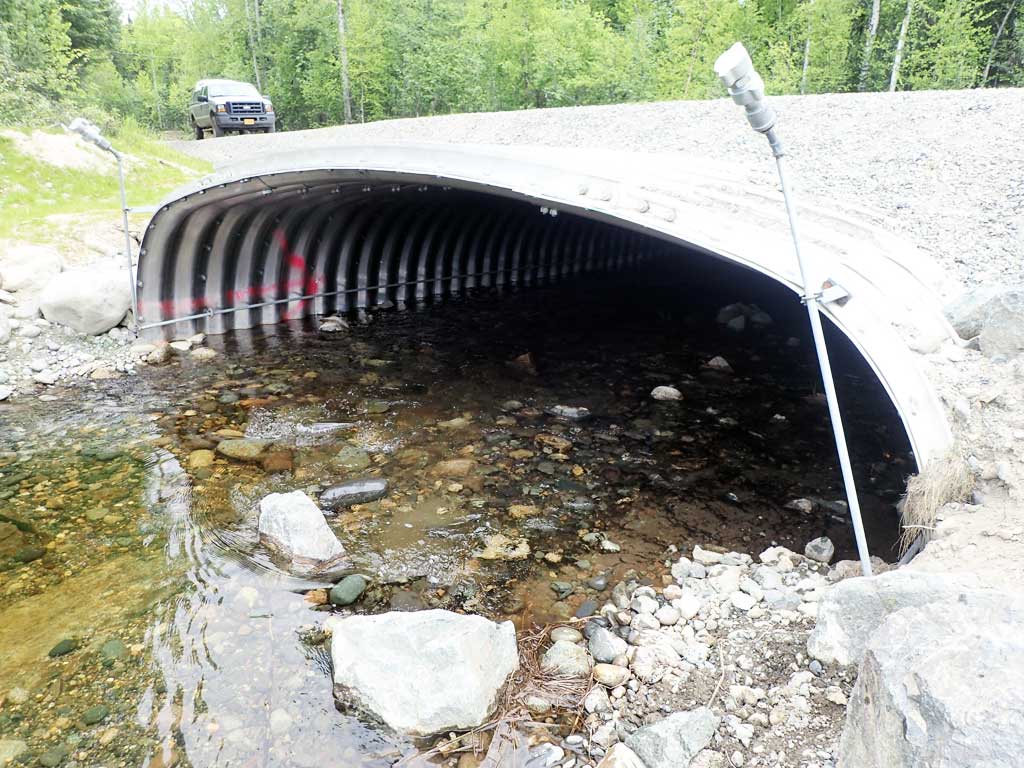
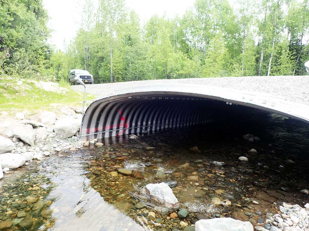
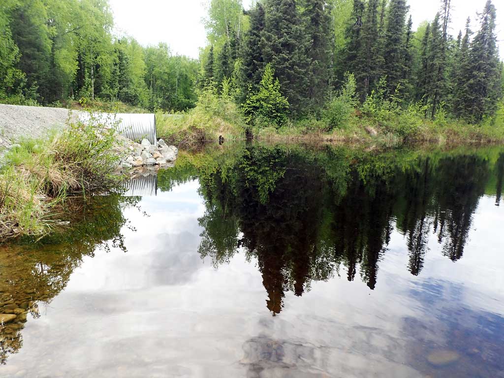
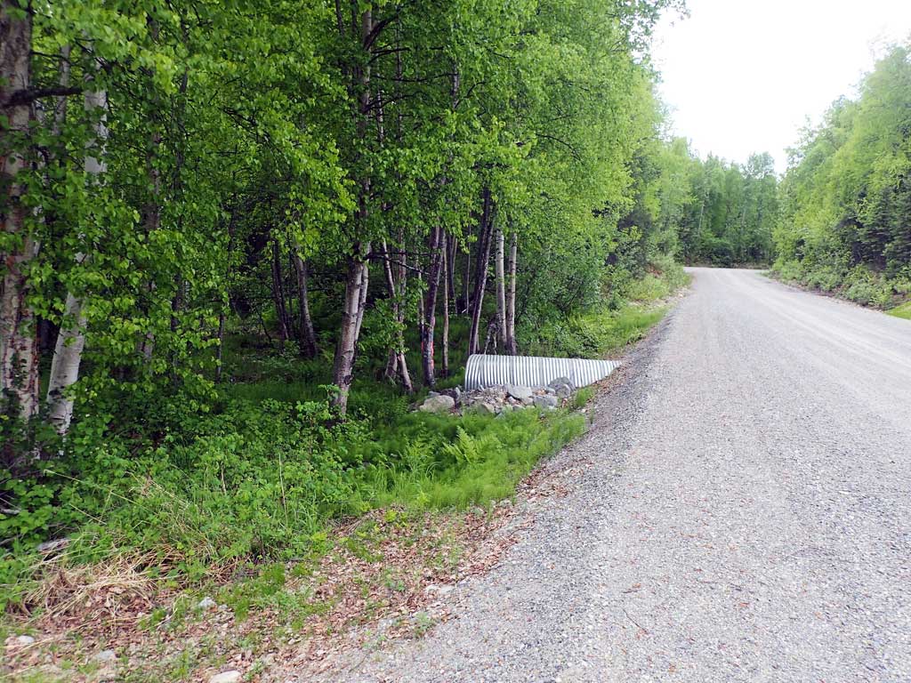
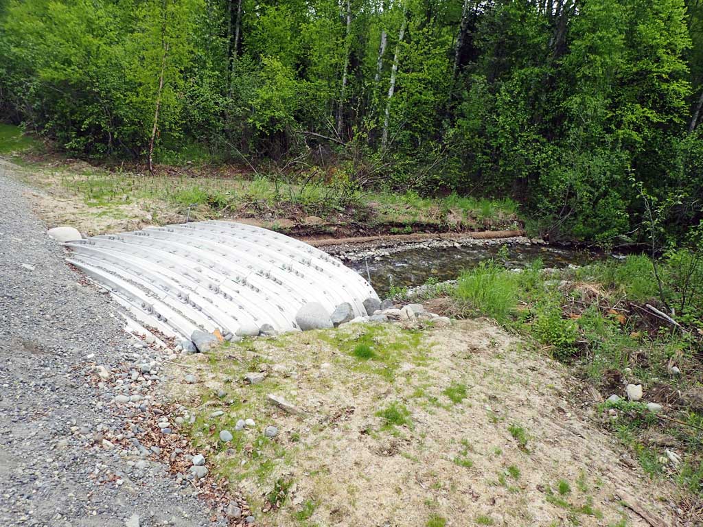
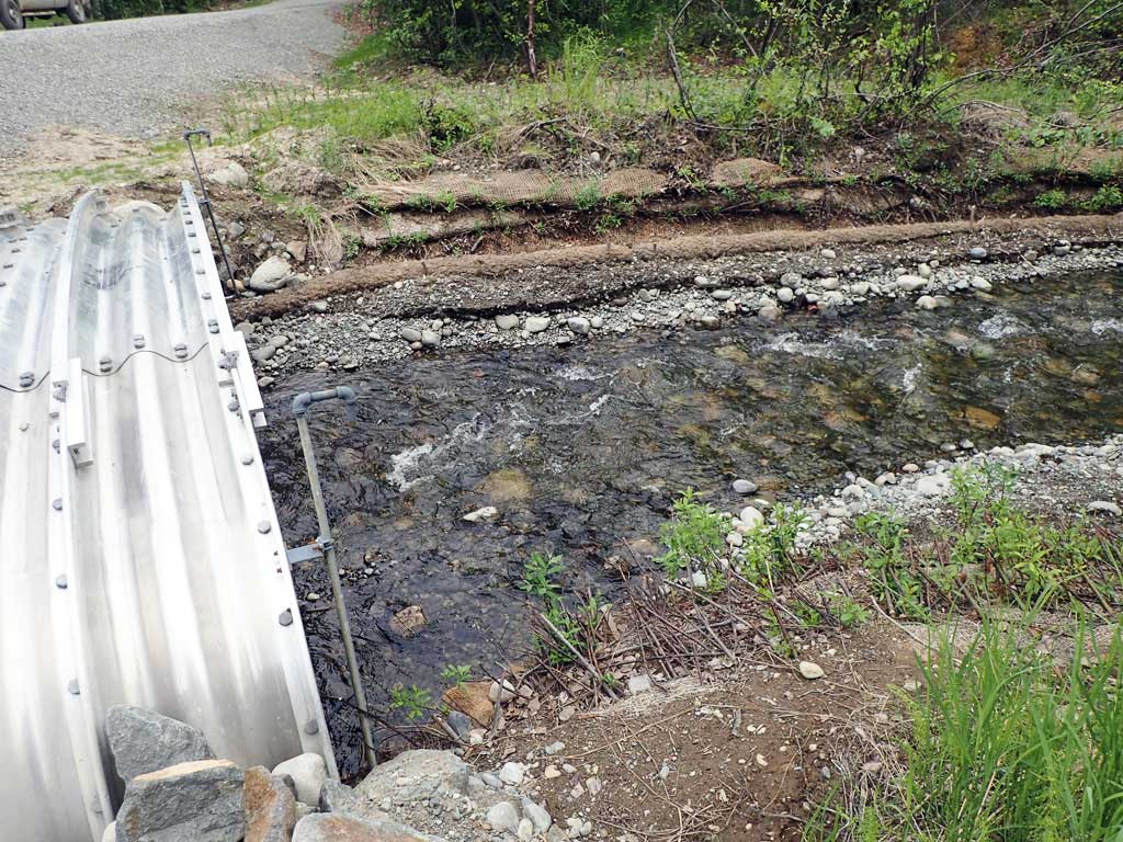
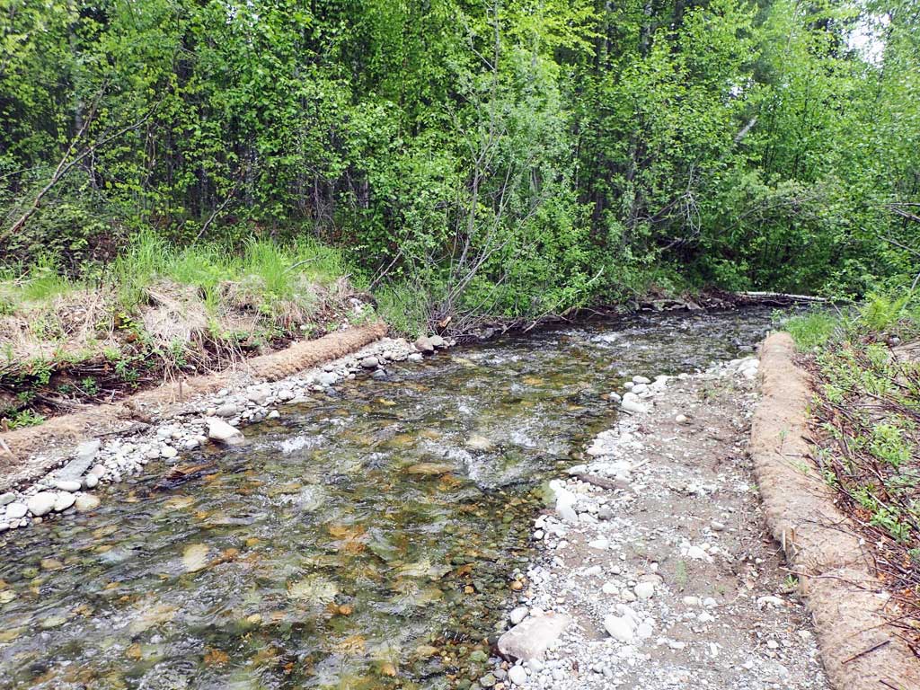
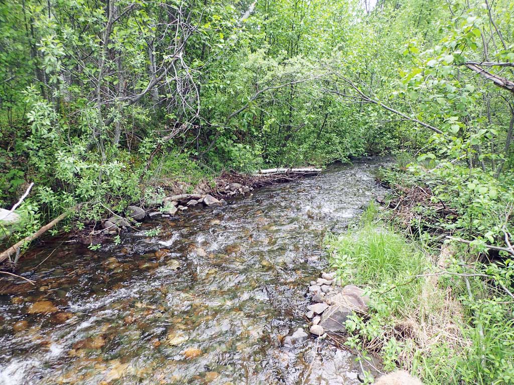
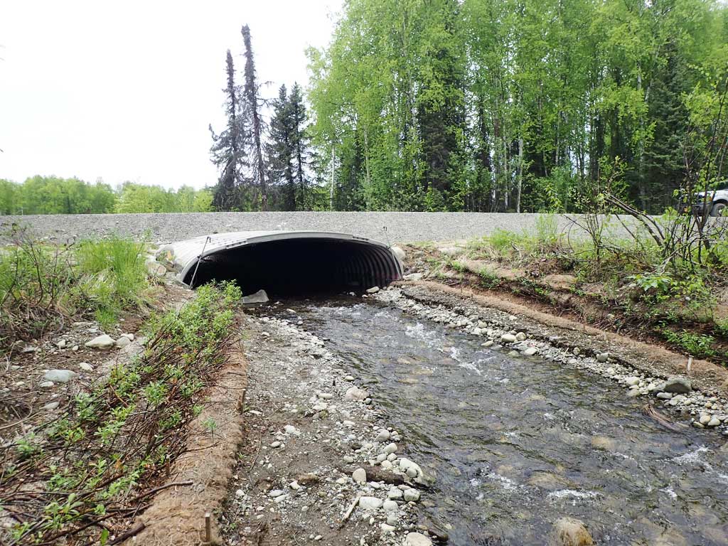
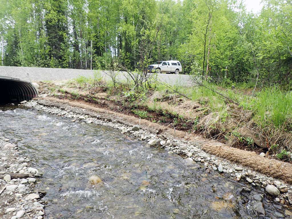
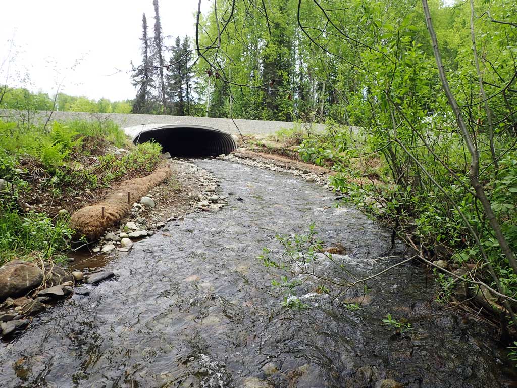
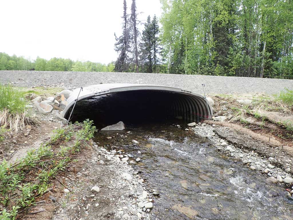
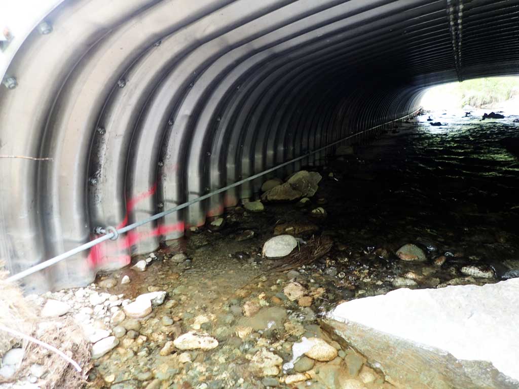
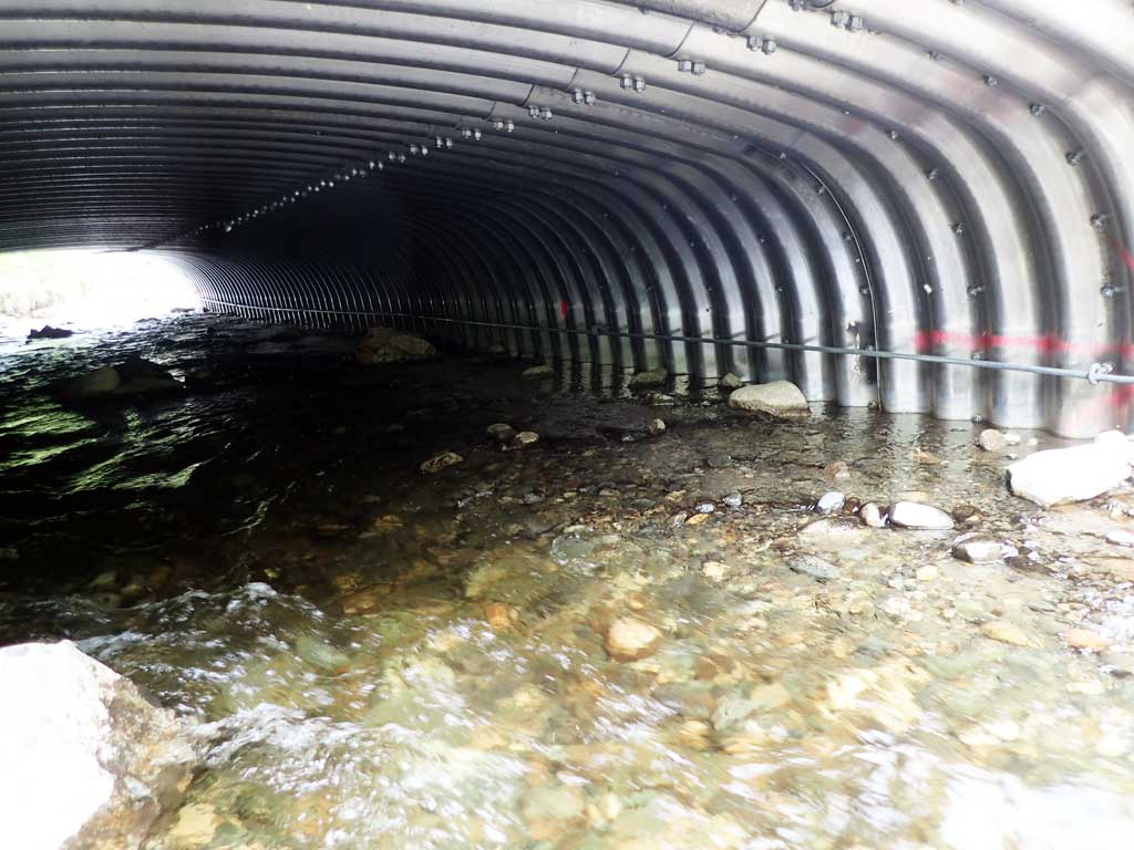
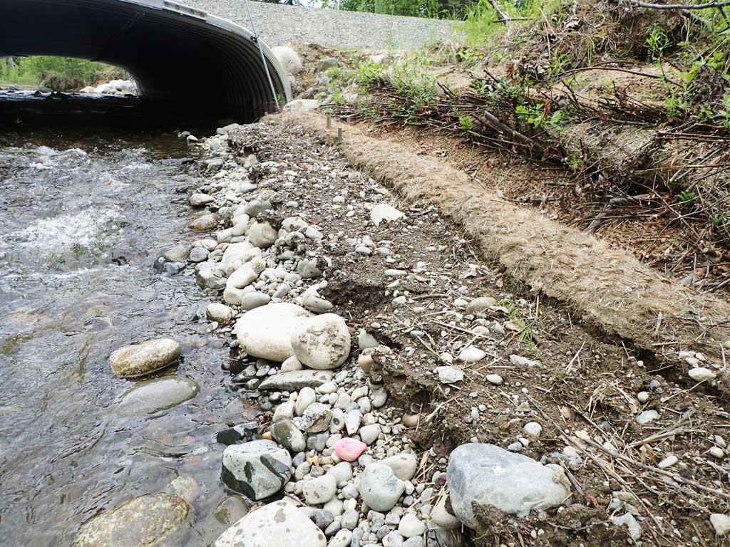
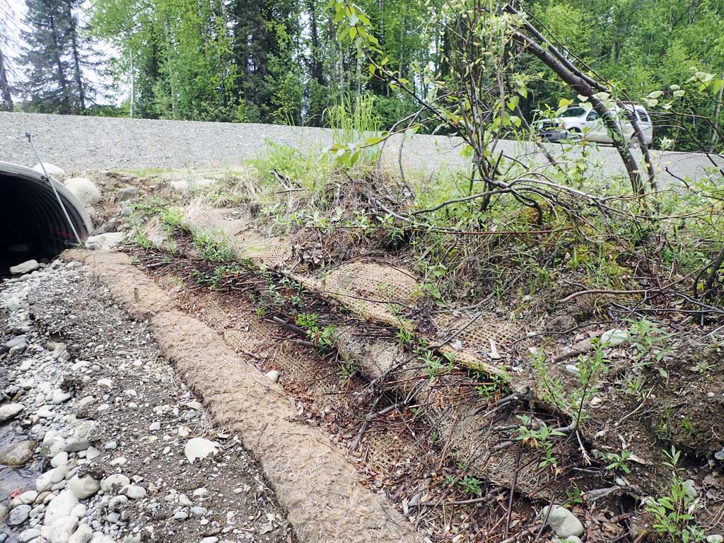
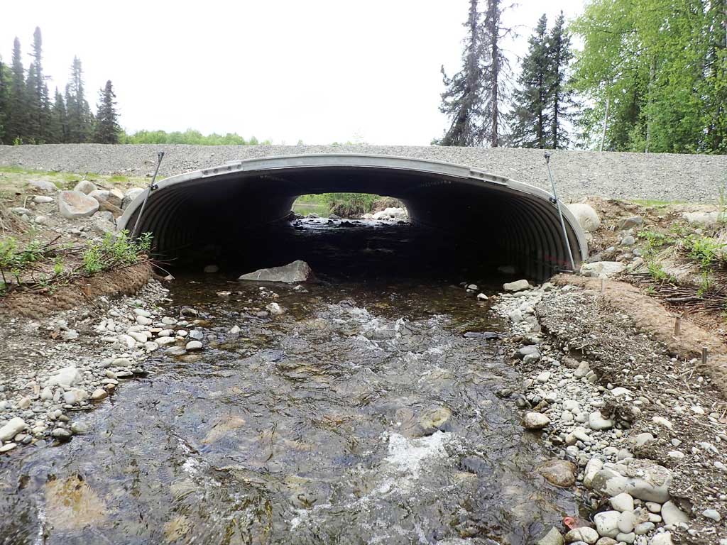
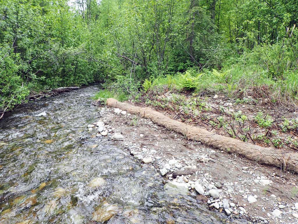
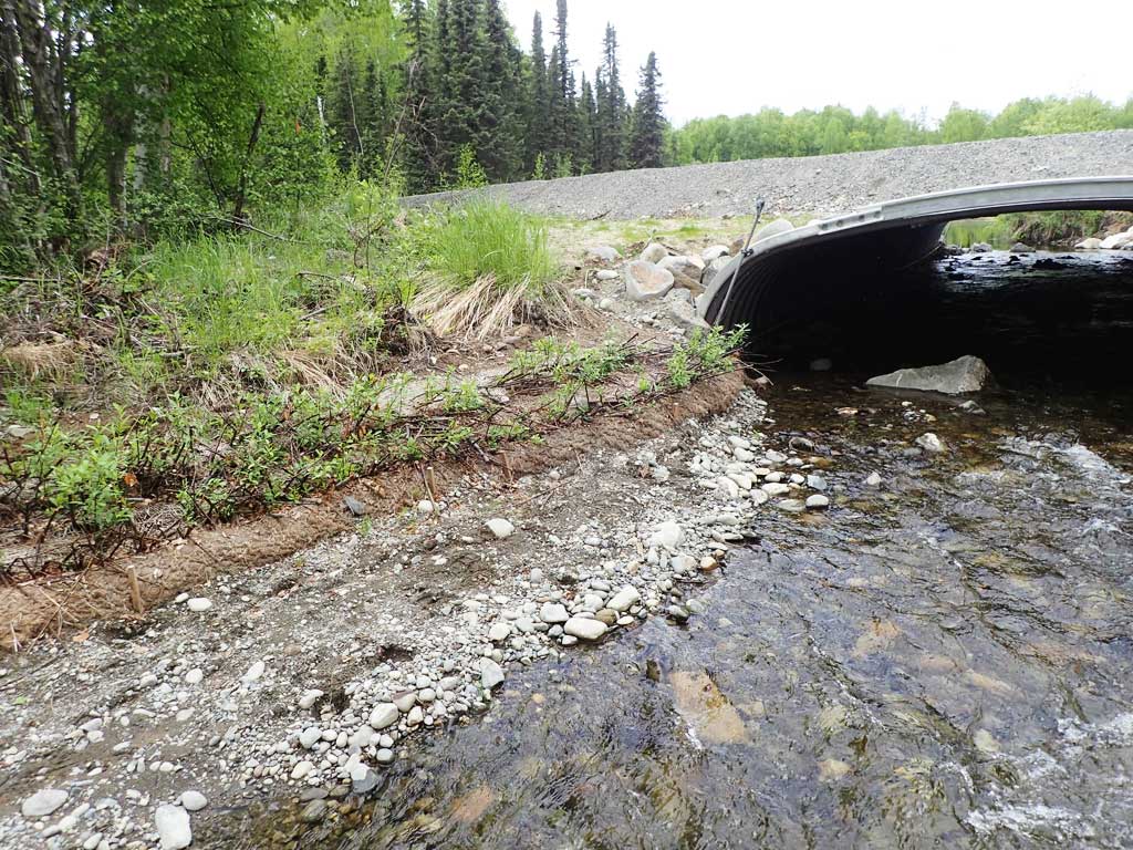
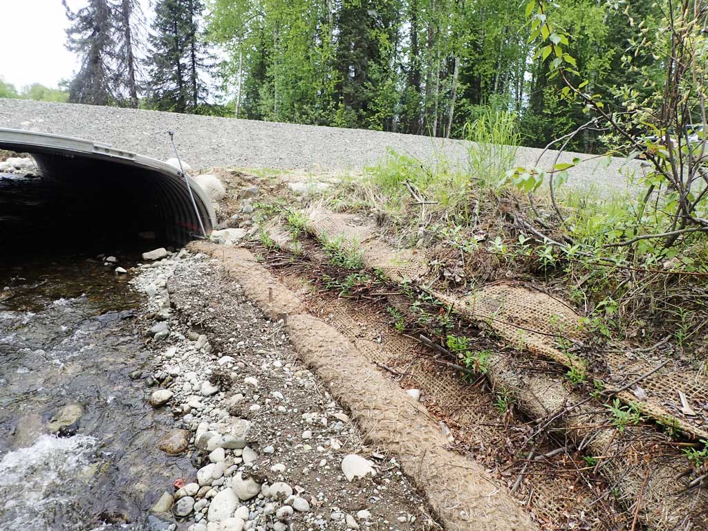
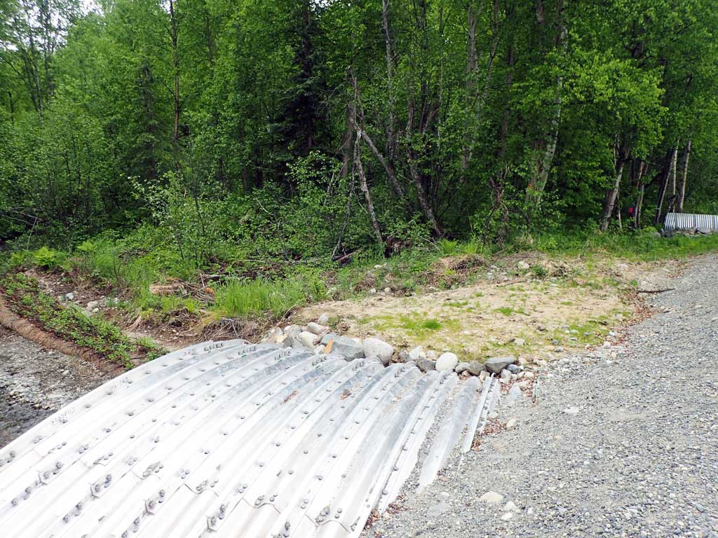
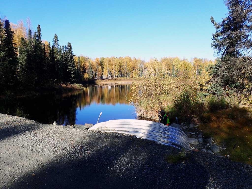
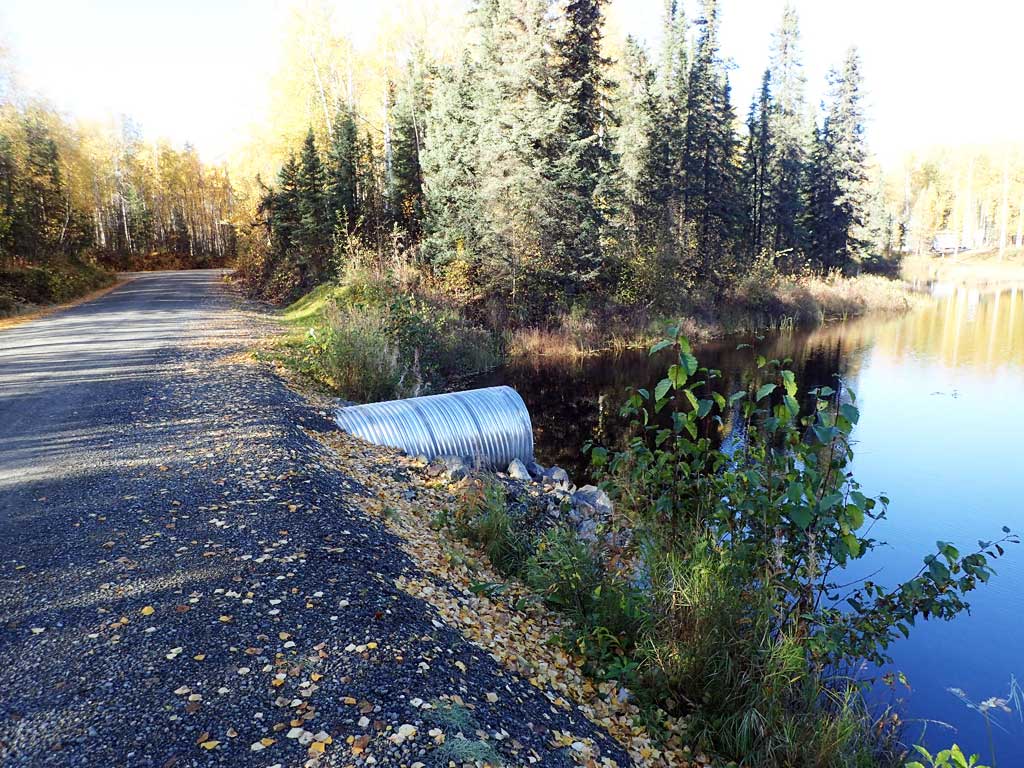
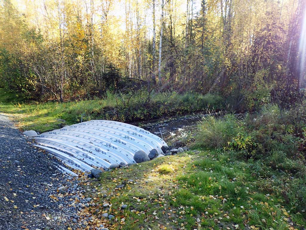
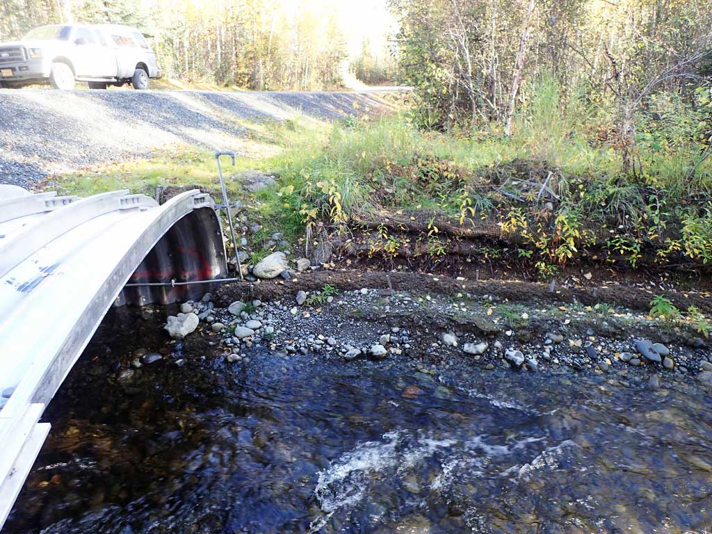
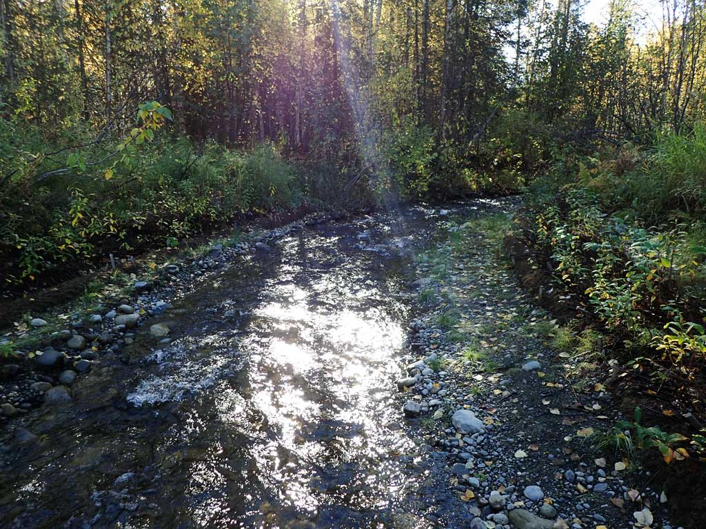
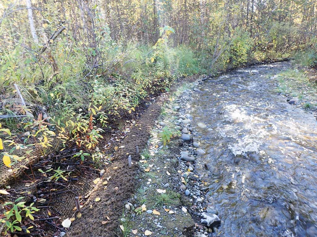
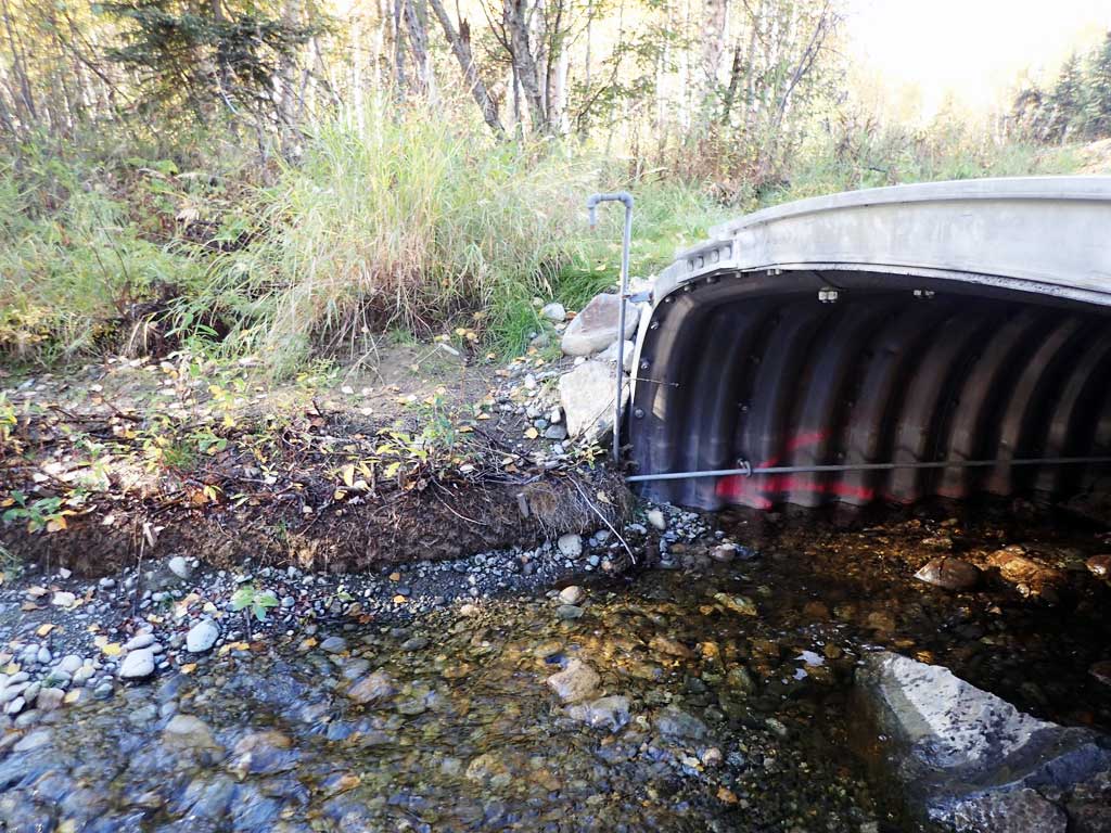
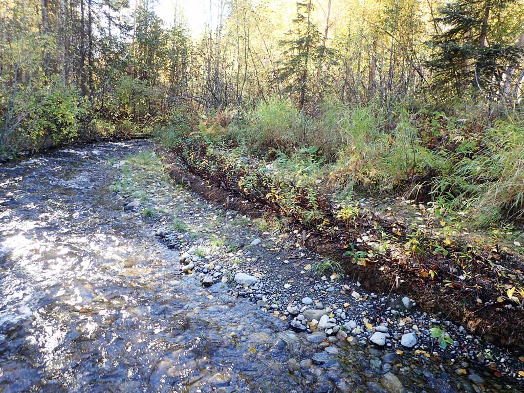
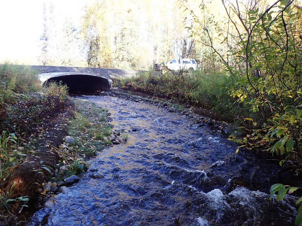
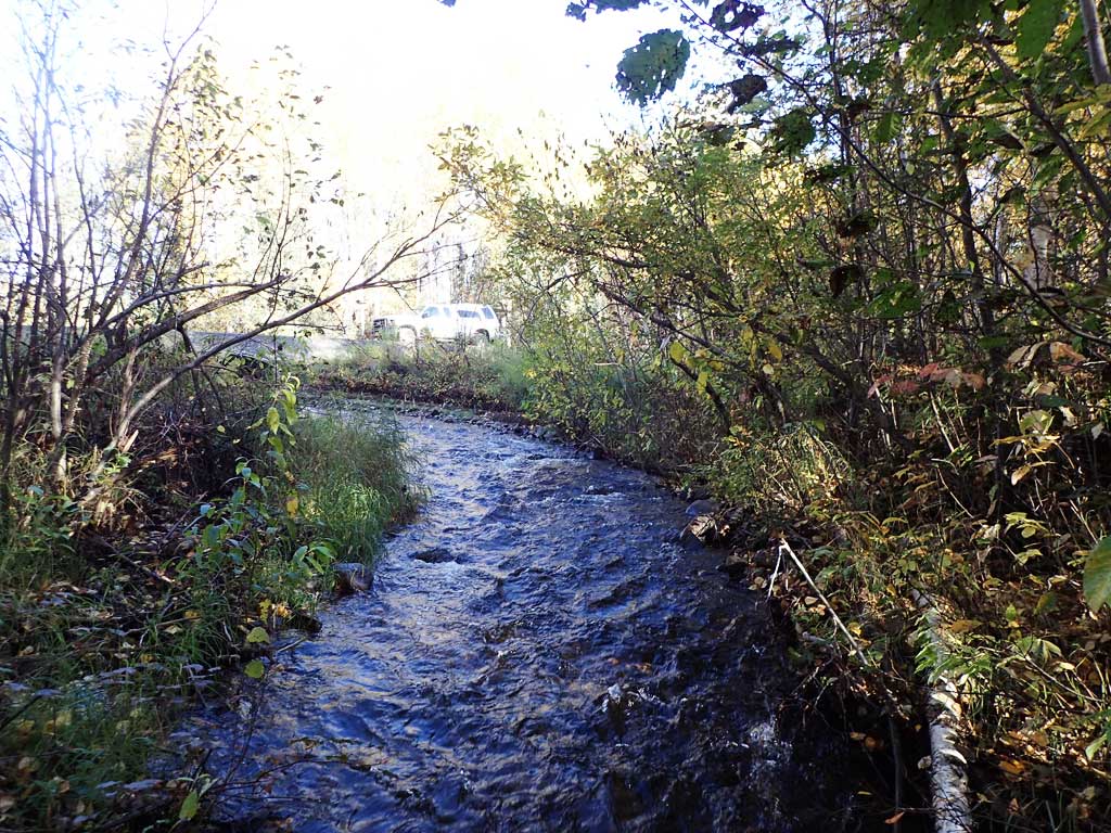
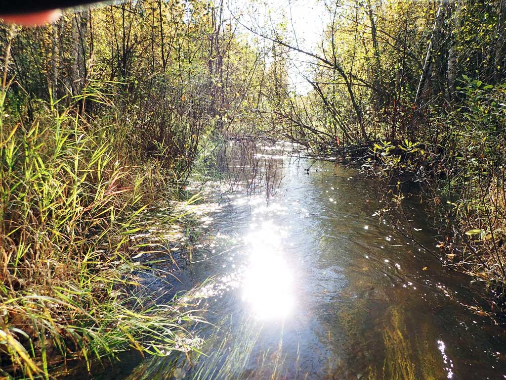
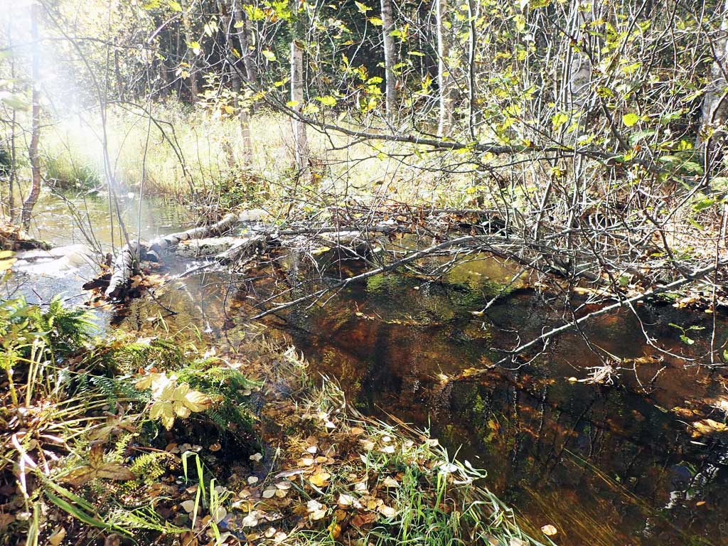
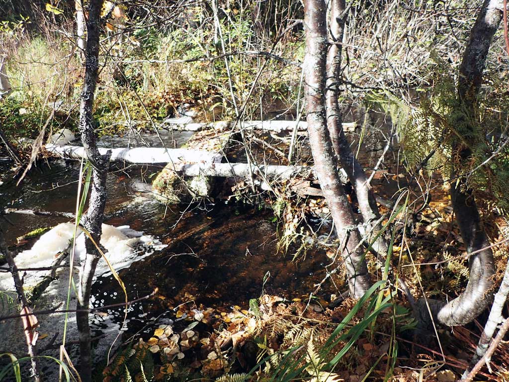
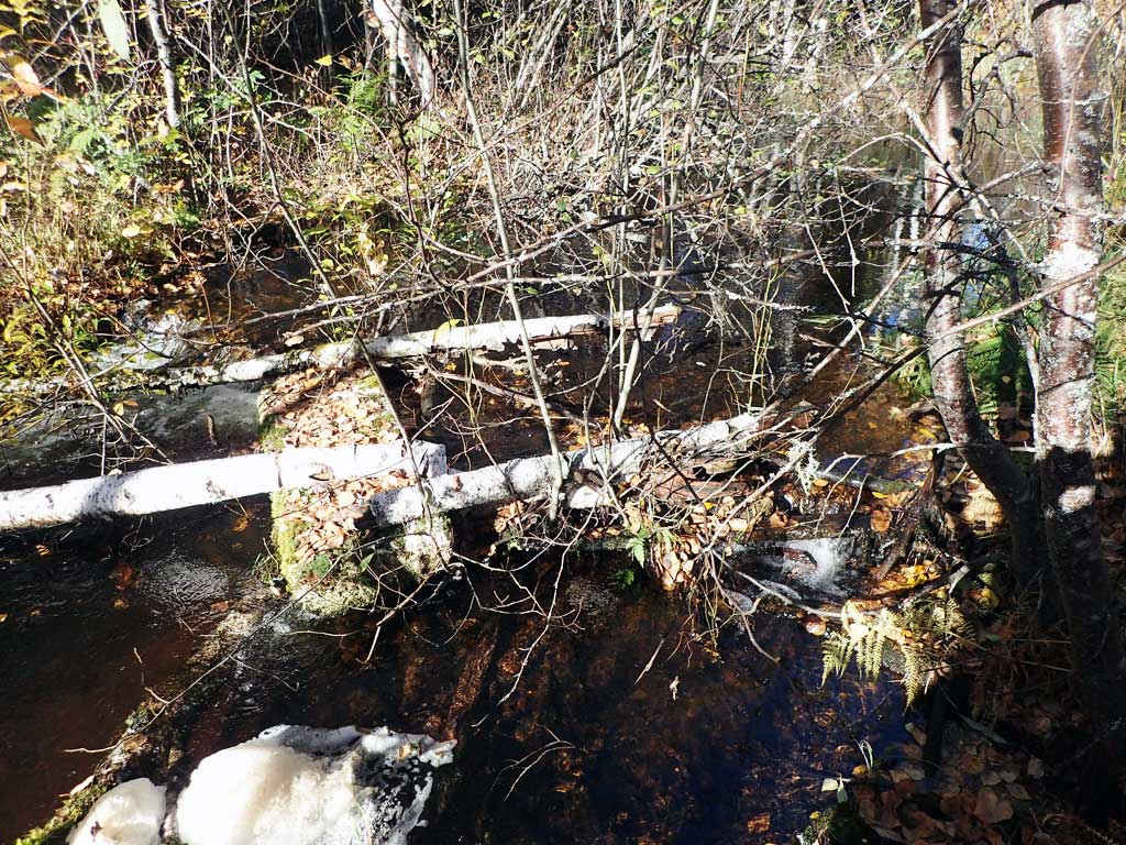
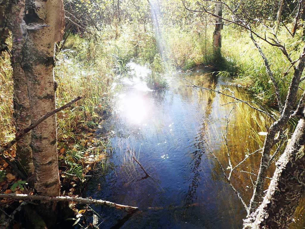
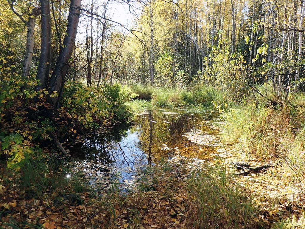
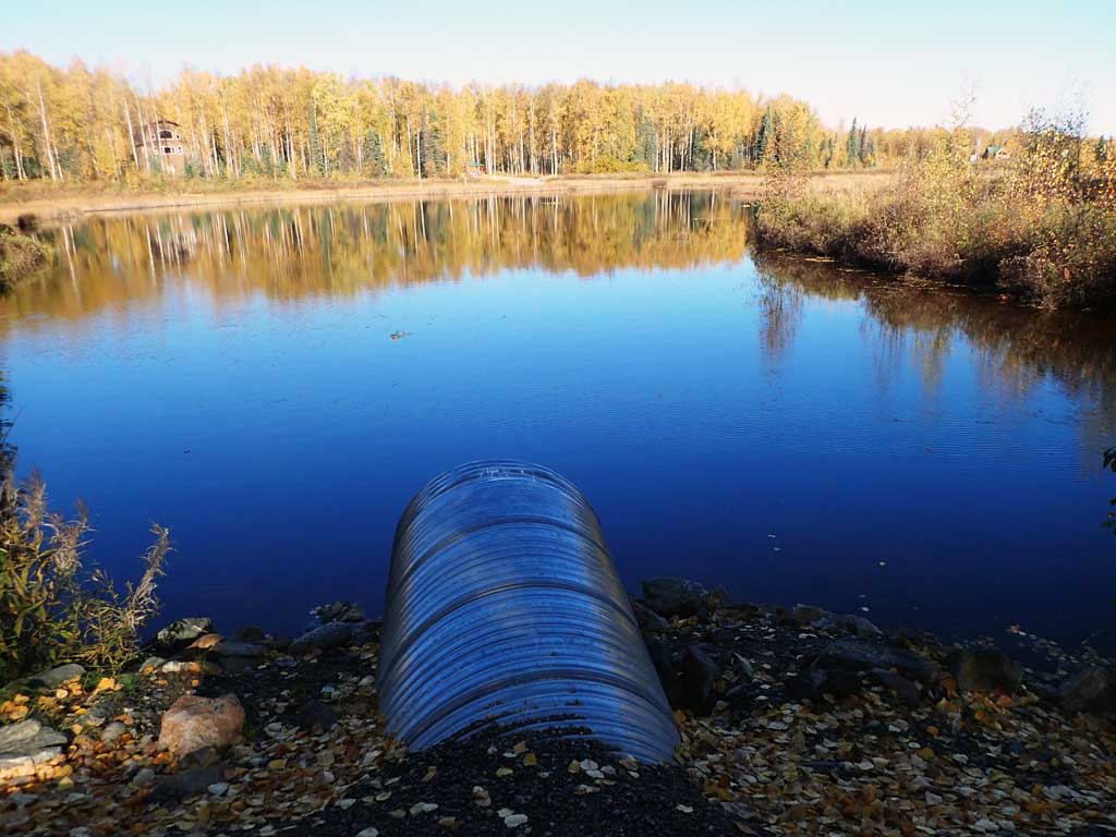
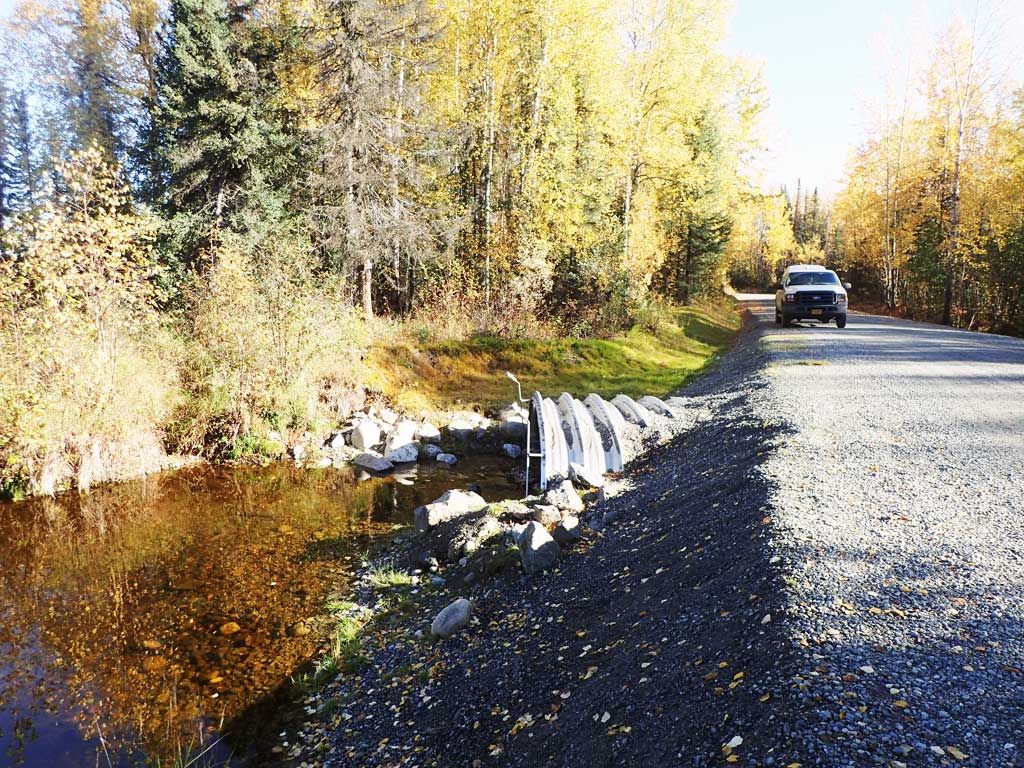
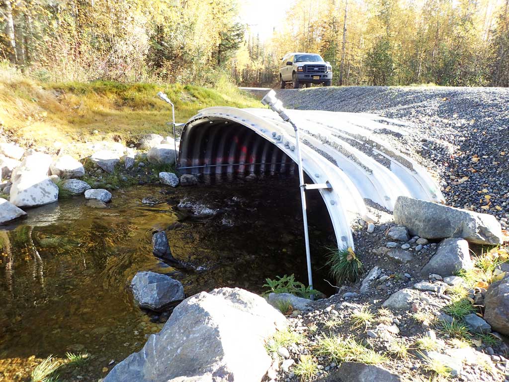
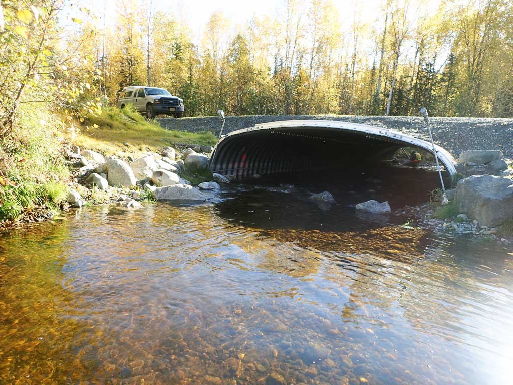
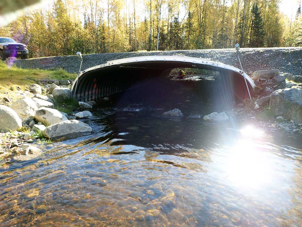
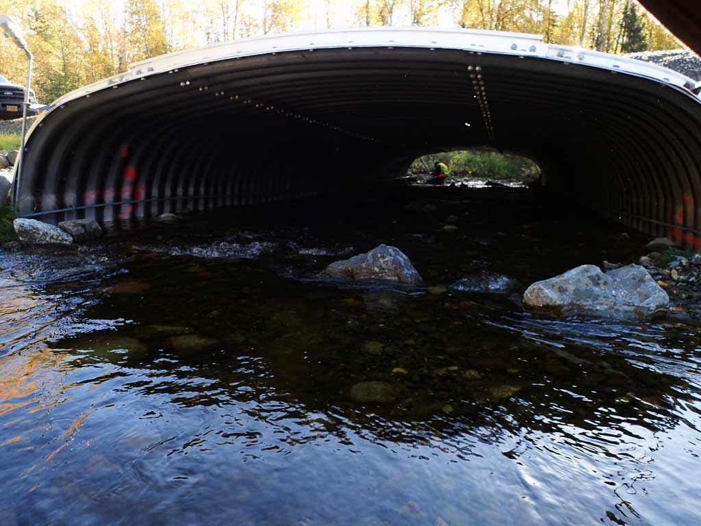
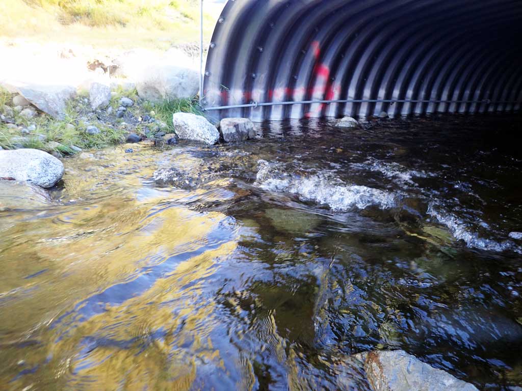
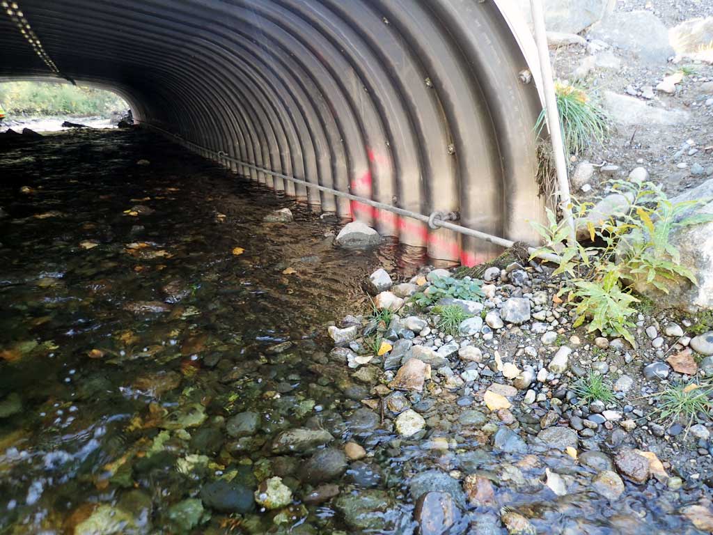
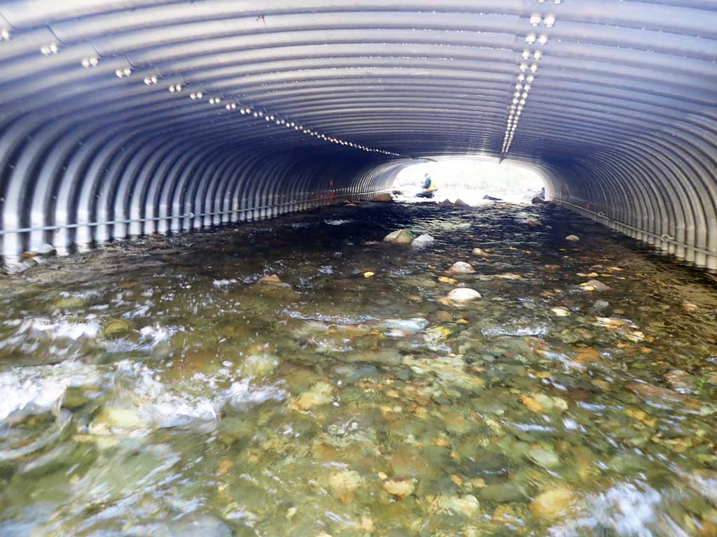
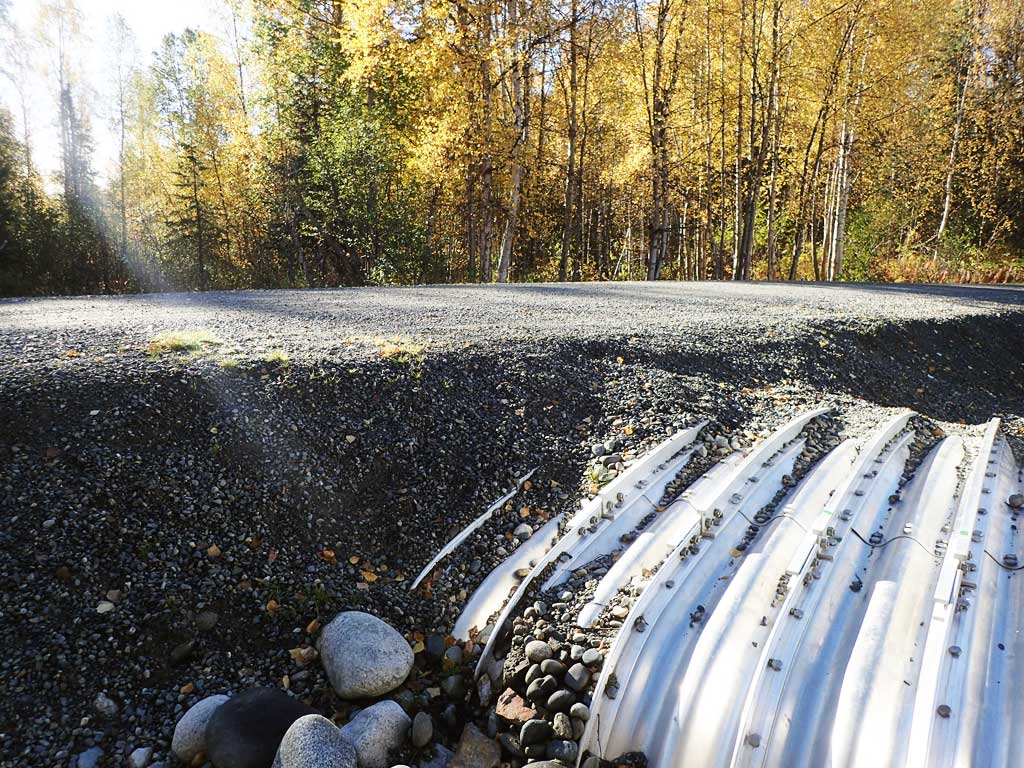
Comments: Culverts replaced in 2017. Culvert reassessment 9/26/18. Lake directly upstream of culvert, stream bank bioengineering downstream from culvert. Old beaver dam complex downstream. 4' overflow culvert present on right hand side of main culvert.
Culvert Measurements
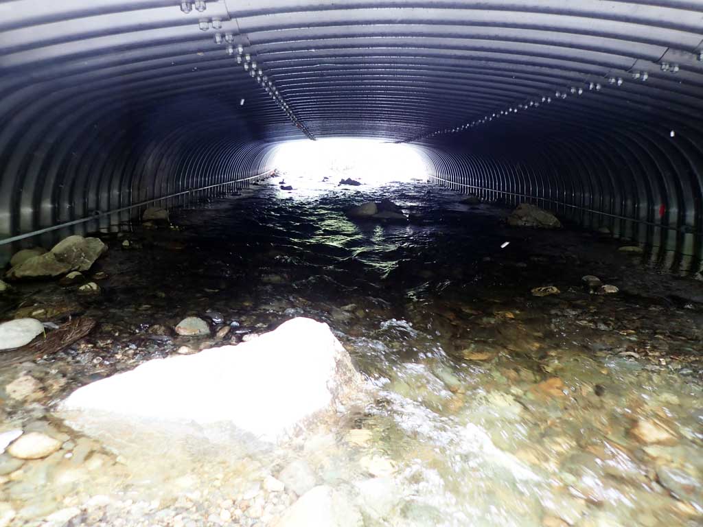
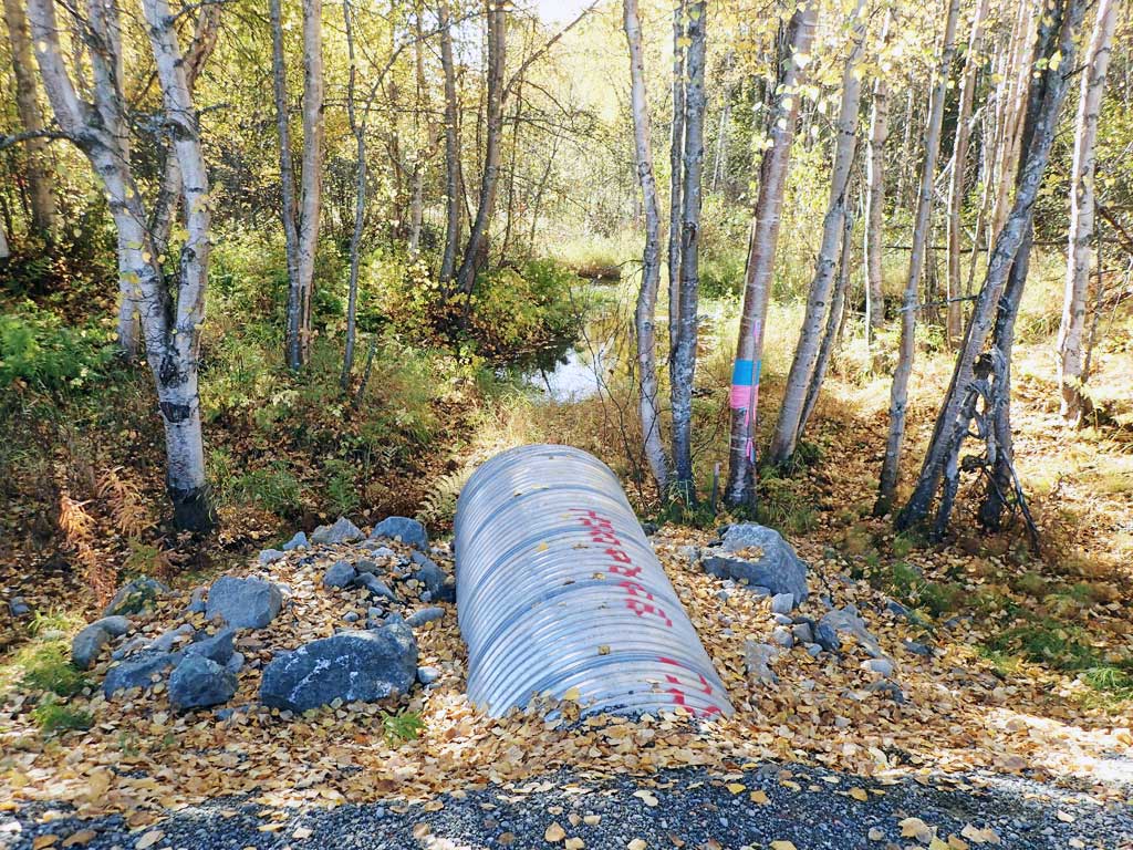
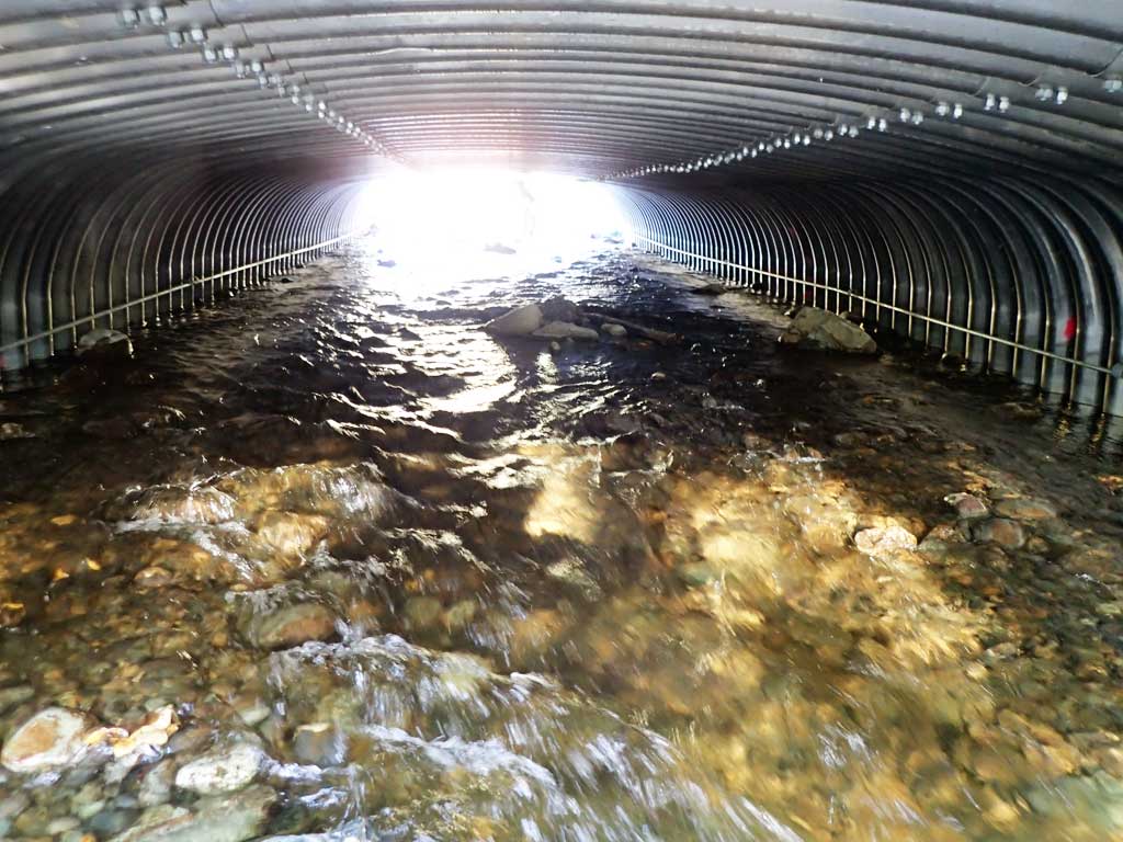
| ID: 1 | Structure Type: Box culvert (Structural aluminum plate) | Fish Passage Rating: | |||||||||||||||||||||||||||||||||||||||||
|
|
|
|||||||||||||||||||||||||||||||||||||||||
Comments: Stream slope taken from 2011 replacement site plans, not verified, but cuvlert gradient close to 1%. Original replacment was washed out in 2012 flood. |
|||||||||||||||||||||||||||||||||||||||||||
Culvert Observations:
|
|||||||||||||||||||||||||||||||||||||||||||
| ID: 2 | Structure Type: Circular pipe (Corrugated steel) | Fish Passage Rating: | |||||||||||||||||||||||||||||||||||||||||
|
|
|
|||||||||||||||||||||||||||||||||||||||||
Comments: Over Flow pipe |
|||||||||||||||||||||||||||||||||||||||||||
Stream Measurements
|
|
No stream width data available.
Elevations
| Locator ID | Culvert Number |
River Distance (ft)1 |
Distance From Crossing (ft)2 |
Relative Elevation (ft) |
|---|---|---|---|---|
| Outlet Invert (Overflow culvert) | 2 | 95.86 | ||
| Inlet Culvert Invert (Overflow culvert) | 2 | 97.10 | ||
| Outlet Culvert Top (Overflow culvert) | 2 | 99.80 | ||
| Inlet Culvert Top (Overflow culvert) | 2 | 101.07 | ||
| Road Elev | 102.27 | |||
| D/S Thalweg (End of outlet riffle) | 0.00 | 92.82 | ||
| D/S Water Surface Elev | 0.00 | 93.44 | ||
| D/S Thalweg (End of bioengineering) | 48.00 | 93.95 | ||
| D/S Water Surface Elev | 48.00 | 94.34 | ||
| D/S Water Surface Elev | 66.00 | 94.86 | ||
| D/S Thalweg (Constructed outlet riffle mid point) | 66.00 | 94.23 | ||
| D/S Thalweg | 76.00 | 94.30 | ||
| D/S Water Surface Elev | 76.00 | 95.16 | ||
| D/S Water Surface Elev | 1 | 91.00 | 95.40 | |
| Outlet Invert (On substrate) | 1 | 91.00 | 94.78 | |
| Outlet Culvert Top (Taken 1 foot in on top of corrugation) | 1 | 92.00 | 99.68 | |
| Inlet Culvert Top (Taken 1 foot in on top of corrugation) | 1 | 144.30 | 100.41 | |
| Inlet Culvert Invert (On substrate) | 1 | 145.30 | 95.64 | |
| U/S Water Surface Elev | 1 | 145.30 | 96.37 | |
| U/S Water Surface Elev | 148.30 | 96.46 | ||
| U/S Grade Ctrl (Thalweg) | 148.30 | 95.41 | ||
| U/S Thalweg | 153.80 | 95.54 | ||
| U/S Water Surface Elev | 153.80 | 96.51 | ||
| U/S Water Surface Elev | 157.80 | 96.54 | ||
| U/S Thalweg | 157.80 | 94.98 | ||
| U/S Thalweg | 168.30 | 94.60 | ||
| U/S Water Surface Elev | 168.30 | 96.56 | ||
| U/S Thalweg (Edge of lake/inlet channel) | 175.30 | 93.64 | ||
| U/S Water Surface Elev | 175.30 | 96.54 |
Notes:
- River distance is measured continuously throughout the survey reach along the thalweg of the stream.
- Measured from each end of the crossing along the thalweg of the stream.
Fish Sampling Efforts
No fish sampling occurred during this survey.
Fish Observations
No fish observations occurred during this survey.
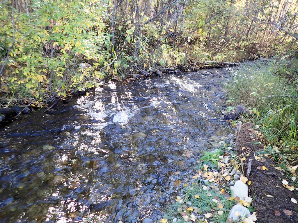
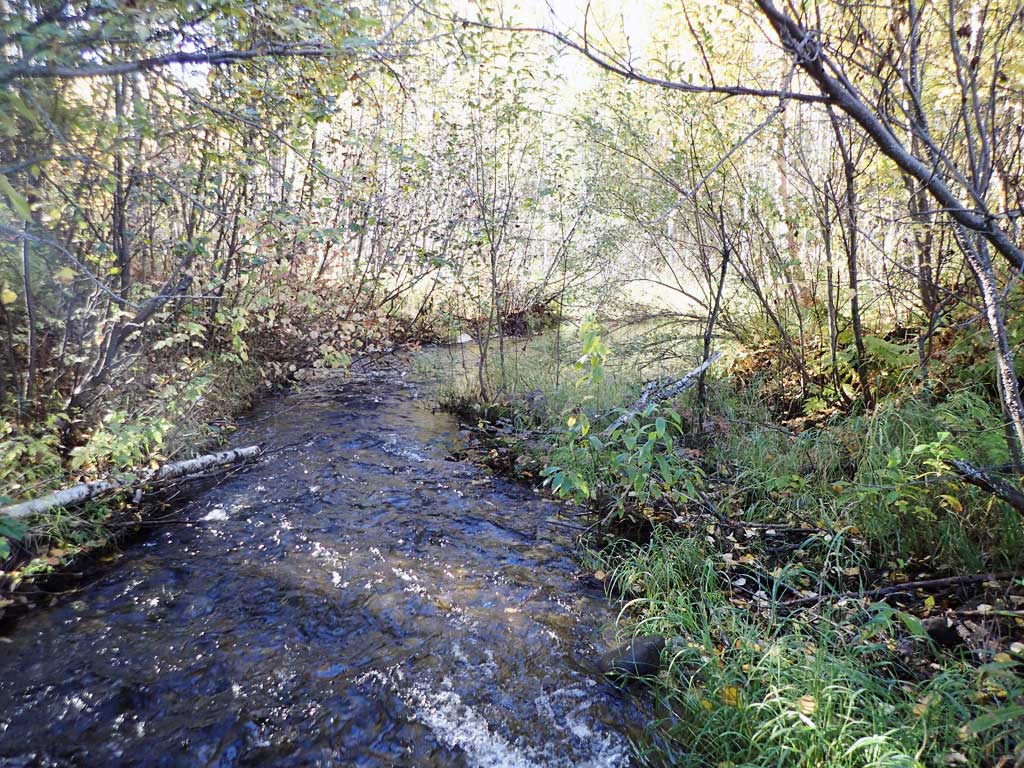
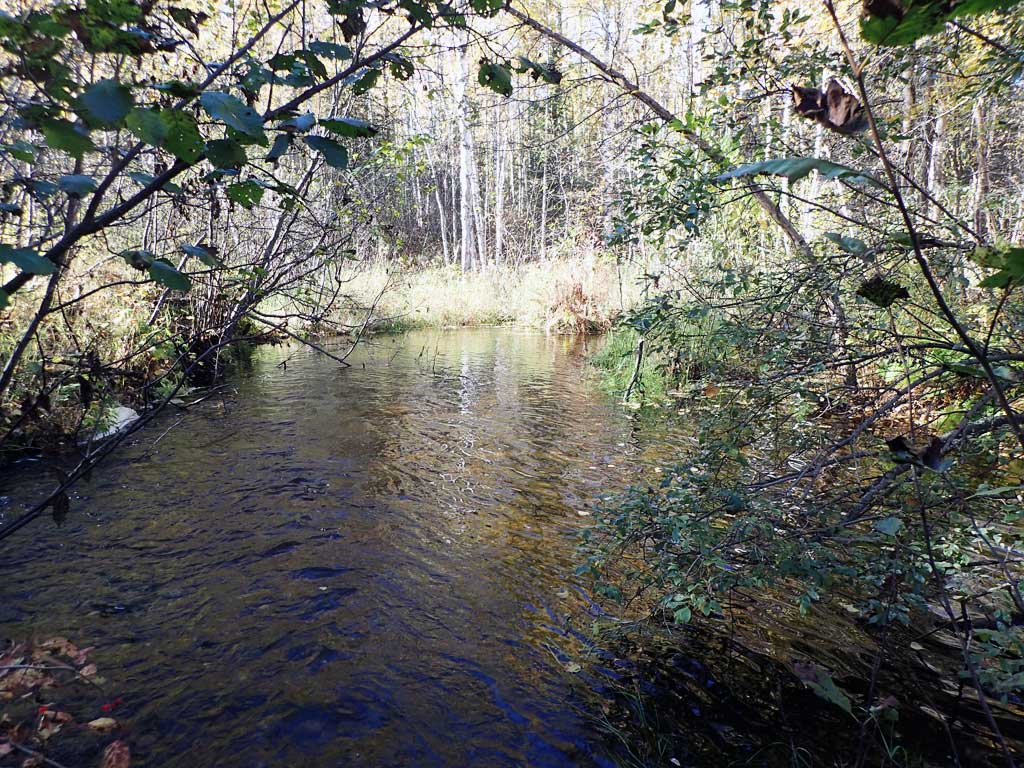
Photos


Questions or comments about this report can be directed to dfg.dsf.webmaster@alaska.gov