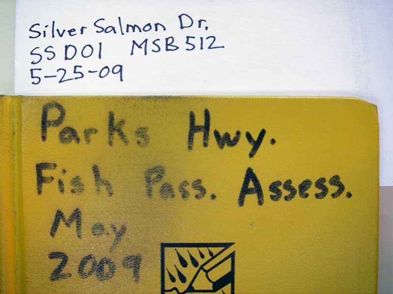
Fish Passage Site 20501520
Coordinates (dec. deg.): 61.99387°, -149.96294°
Legal Description: S022N004W14
Region: South Central
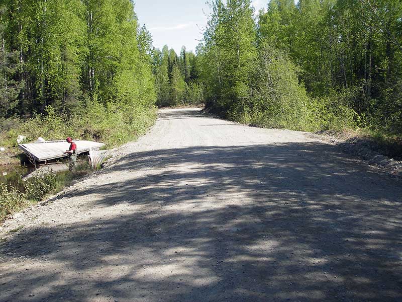
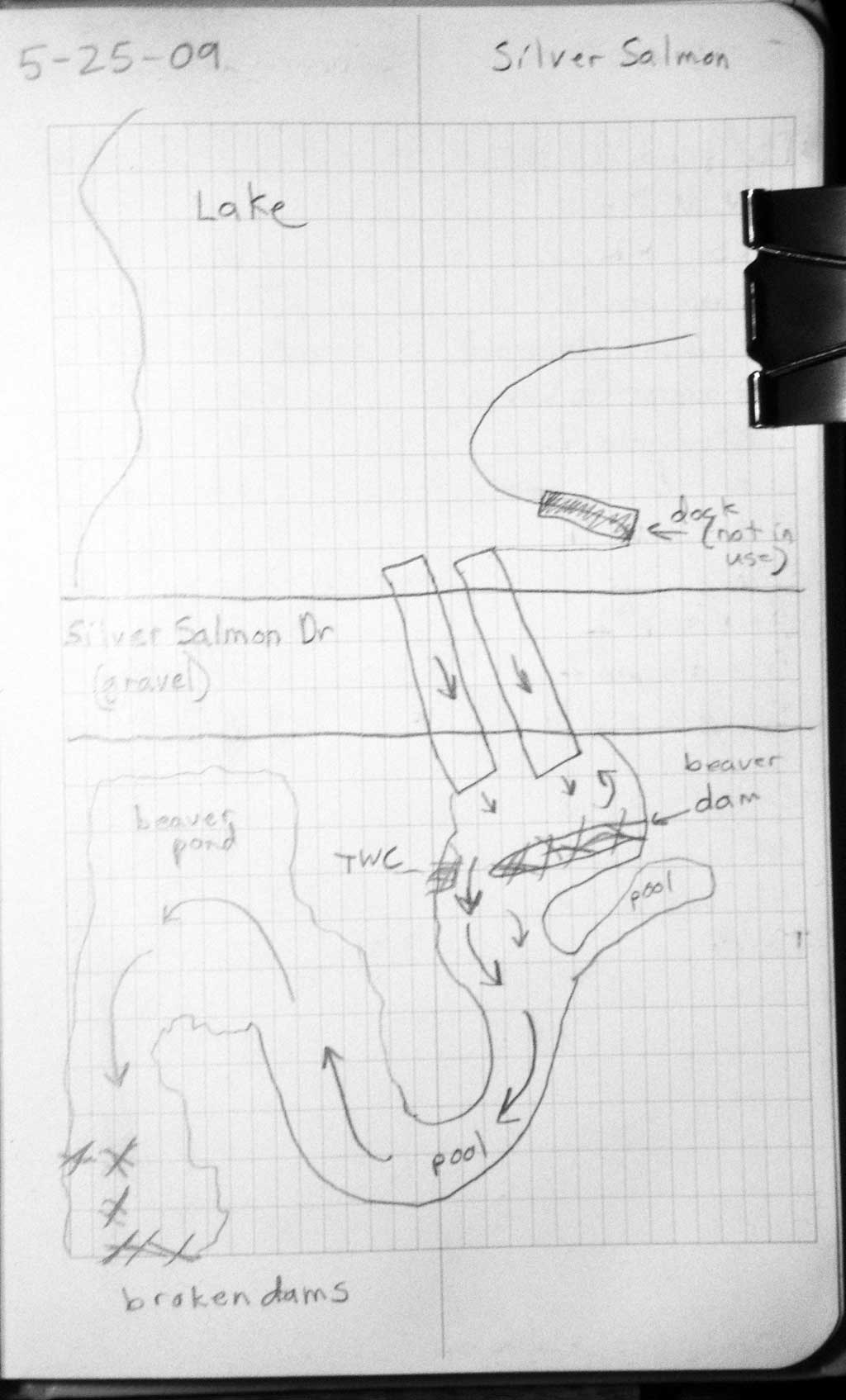
Road Name: South Silver Salmon Drive
Datum: WGS84
Quad Name / ITM: Anchorage D-8
AWC Stream #: 247-41-10200-2190-3020
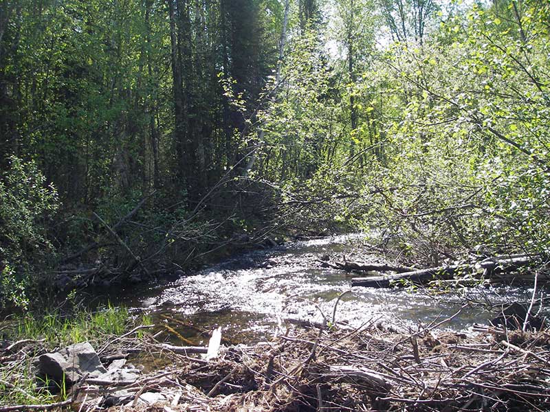
Stream Name: Caswell Creek tributary
Elevation:
Site Comments: None
arrow to the right of the survey date below to choose a different report for this site.
Survey PRK09-SSD01
Project Supervisor: Gillian O'Doherty, ADFG
Observers: Heidi Zimmer, Ben Histand
Overall Fish Passage Rating:
Tidal: No
Backwatered: No
Step Pools:
Construction Year:
Site Observations:
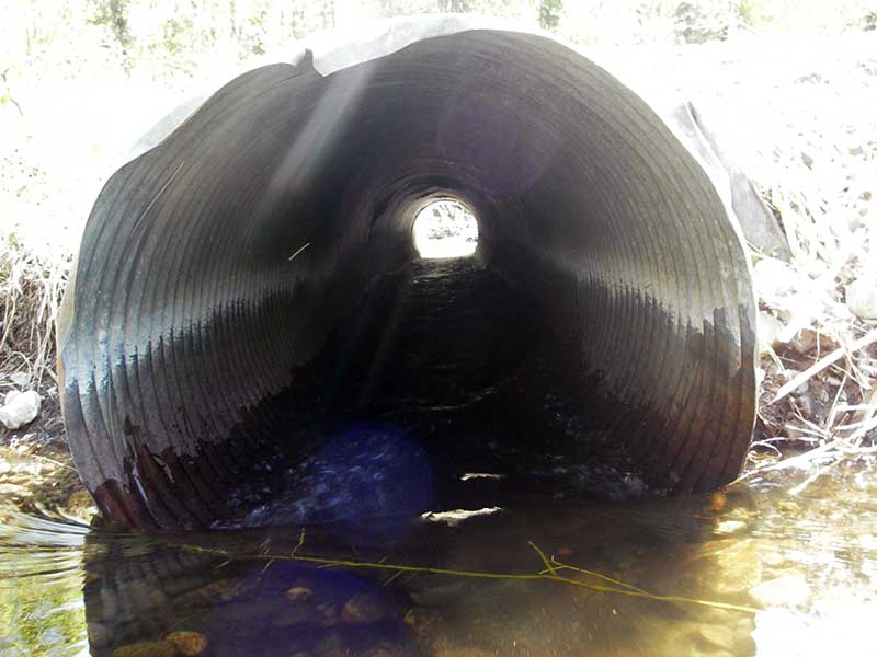
- Culvert gradient red
- Outfall height red
- Mechanical damage or joints parting
- Shallow fill; inadequate roadfill volume above culvert
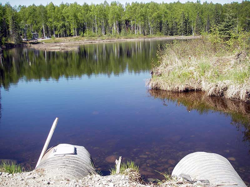
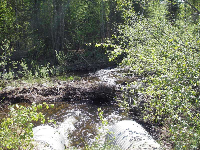
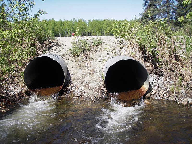
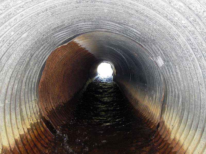
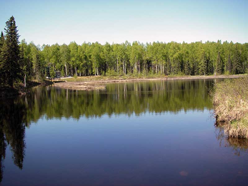
Comments: Both pipes separating at joint near outs. Lake upstream and beaver dams downstream.
Culvert Measurements
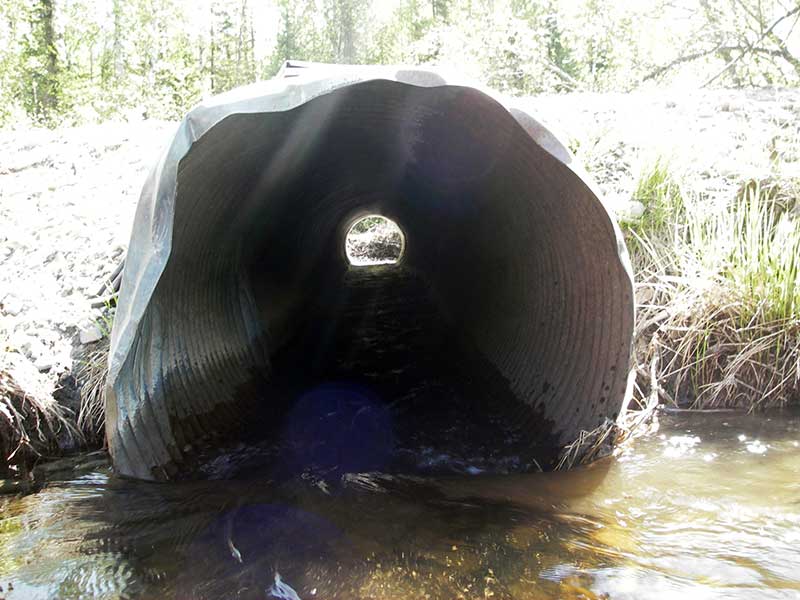
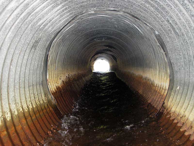
| ID: 1 | Structure Type: Circular pipe (Corrugated steel) | Fish Passage Rating: | |||||||||||||||||||||||||||||||||||||||||
|
|
|
|||||||||||||||||||||||||||||||||||||||||
Comments: Pipe 1 has several small dents down barrel. |
|||||||||||||||||||||||||||||||||||||||||||
Culvert Observations:
|
|||||||||||||||||||||||||||||||||||||||||||
| ID: 2 | Structure Type: Circular pipe (Corrugated steel) | Fish Passage Rating: | |||||||||||||||||||||||||||||||||||||||||
|
|
|
|||||||||||||||||||||||||||||||||||||||||
Culvert Observations:
|
|||||||||||||||||||||||||||||||||||||||||||
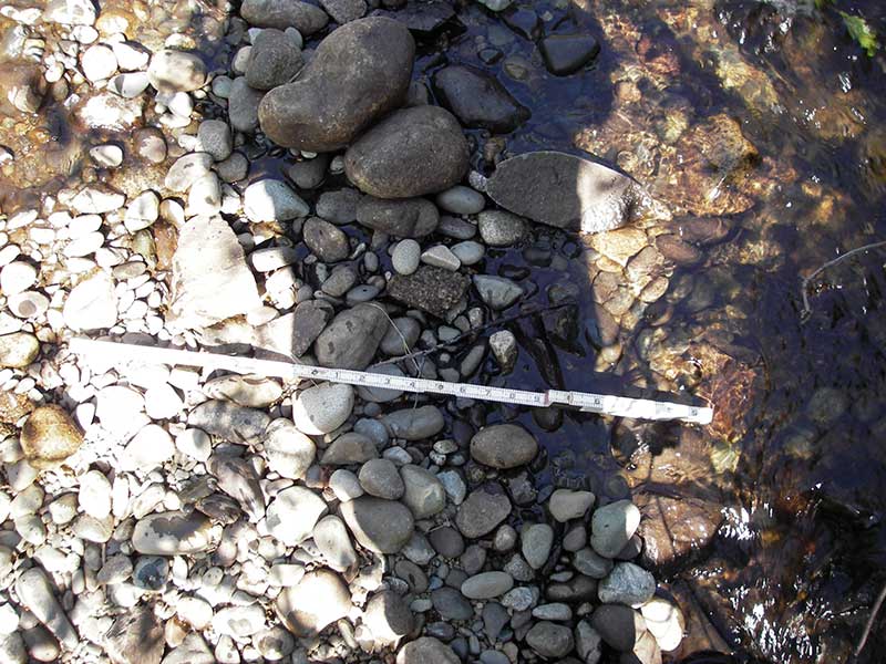
Stream Measurements
|
|
No stream width data available.
Elevations
| Locator ID | Culvert Number |
River Distance (ft)1 |
Distance From Crossing (ft)2 |
Relative Elevation (ft) |
|---|---|---|---|---|
| Outlet Pool Water Elev (both pipes out pool) | 95.94 | |||
| U/S Headwater (lake ws) | 97.91 | |||
| D/S Grade Ctrl (Thalweg) | 0.00 | 45.0 | 94.68 | |
| D/S Water Surface Elev | 0.00 | 45.0 | 95.21 | |
| D/S Tailcrest or 1st Thalweg | 32.00 | 13.0 | 94.55 | |
| D/S Water Surface Elev | 32.00 | 13.0 | 95.95 | |
| D/S Thalweg (bottom scour pool out #1) | 1 | 40.00 | 5.0 | 94.08 |
| D/S Thalweg (bottom scour pool out #2) | 2 | 40.00 | 5.0 | 94.40 |
| Outlet Invert | 2 | 45.00 | 0.0 | 95.93 |
| Outlet Invert | 1 | 45.00 | 0.0 | 95.70 |
| Road Elev | 67.50 | 100.91 | ||
| Inlet Culvert Invert | 1 | 90.00 | 0.0 | 97.05 |
| Inlet Culvert Invert | 2 | 90.00 | 0.0 | 97.10 |
| U/S Thalweg | 1 | 93.40 | 3.4 | 96.38 |
| U/S Thalweg | 2 | 96.00 | 6.0 | 95.83 |
| U/S Thalweg (13' u/s both pipes) | 103.00 | 13.0 | 94.91 |
Notes:
- River distance is measured continuously throughout the survey reach along the thalweg of the stream.
- Measured from each end of the crossing along the thalweg of the stream.
Fish Sampling Efforts
No fish sampling occurred during this survey.
Fish Observations
No fish observations occurred during this survey.
Photos


Questions or comments about this report can be directed to dfg.dsf.webmaster@alaska.gov