Fish Passage Site 20501517
Coordinates (dec. deg.): 62.31512°, -150.20398°
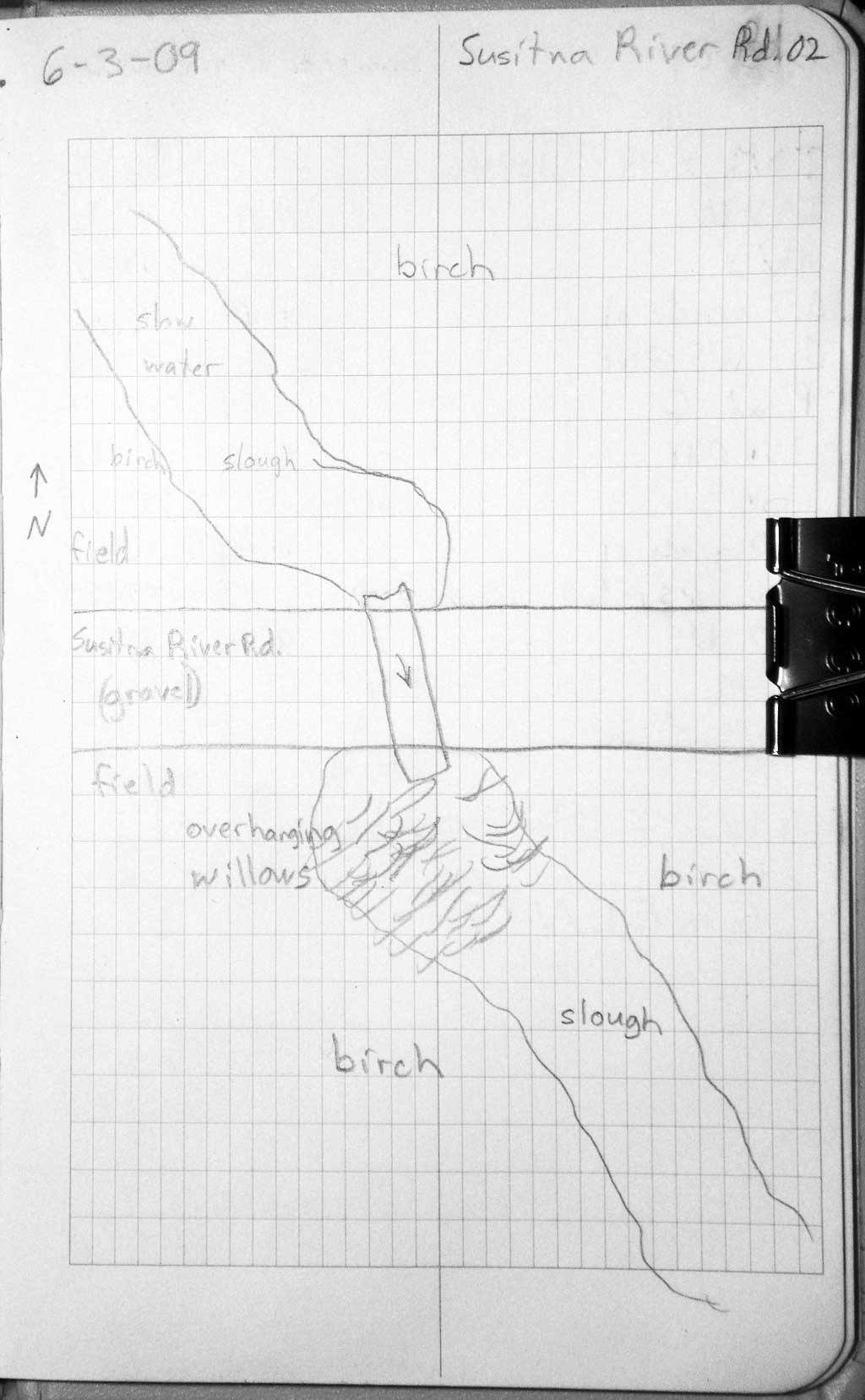
Legal Description: S026N005W28
Region: South Central
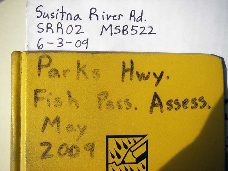
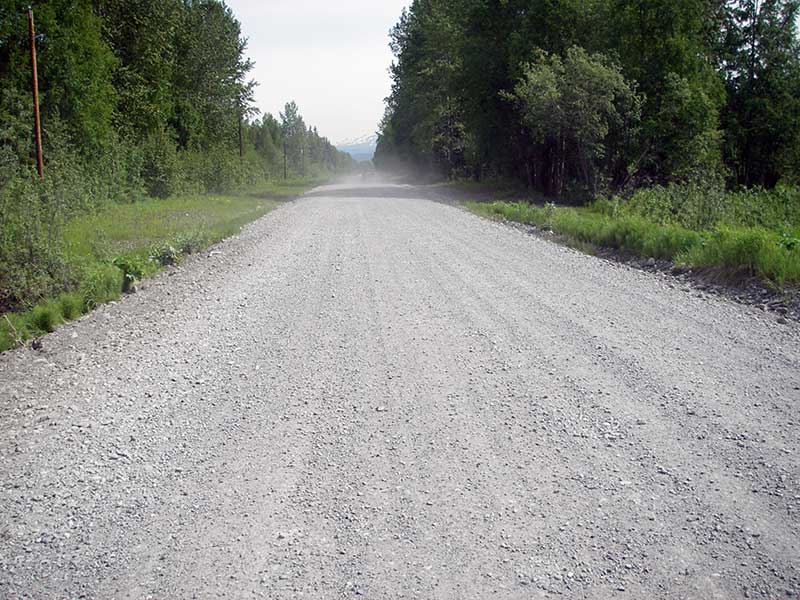
Road Name: Susitna River Road
Datum: WGS84
Quad Name / ITM: Talkeetna B-1
AWC Stream #:
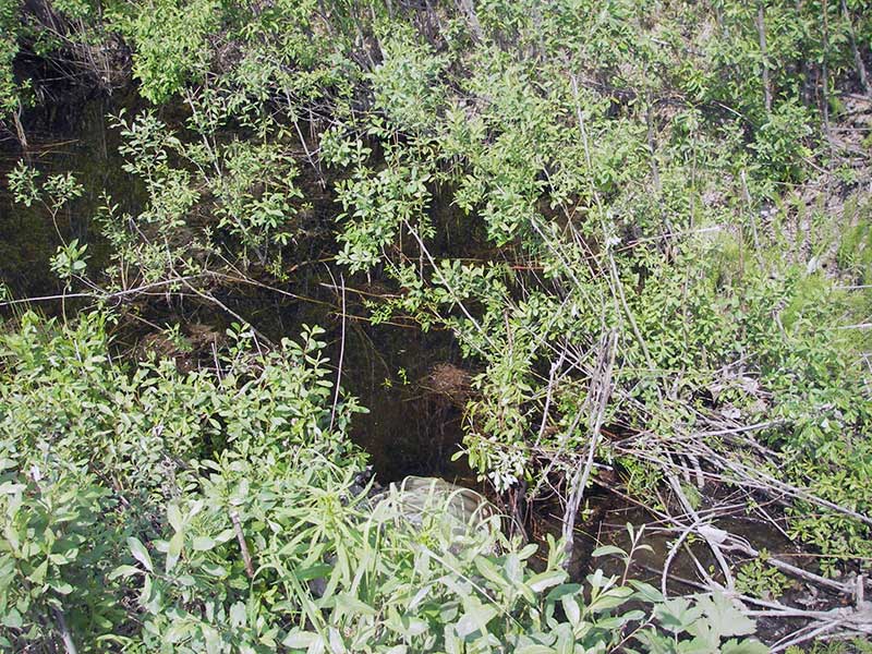
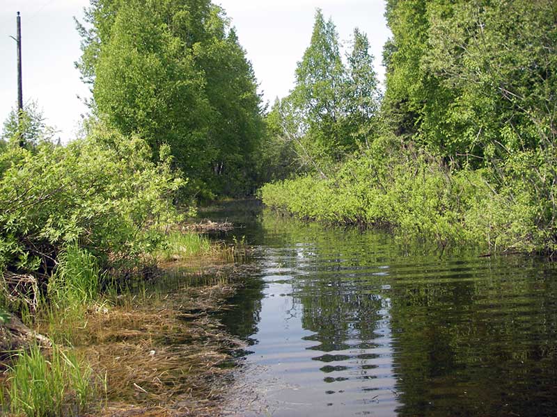
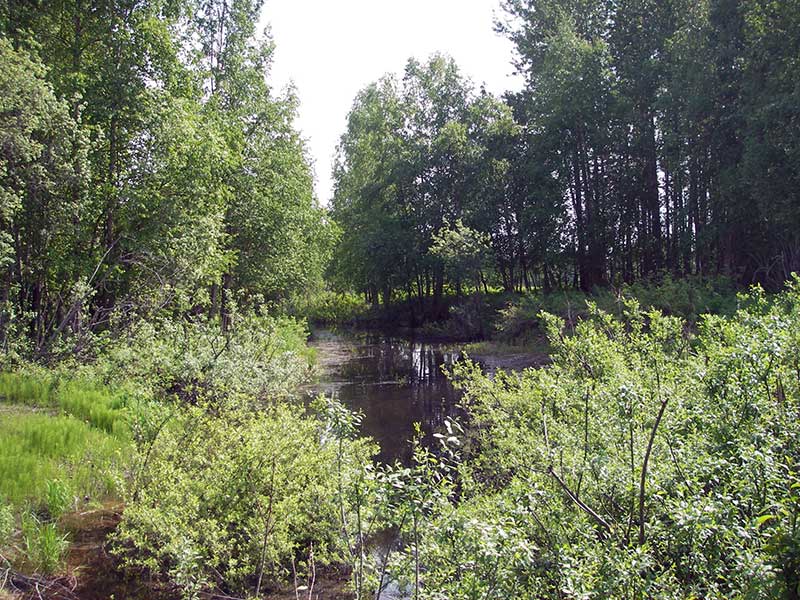
Stream Name: Trapper Creek tributary
Elevation:
Site Comments: None
Survey PRK09-SRR02
Project Supervisor: Gillian O'Doherty, ADFG
Observers: Heidi Zimmer, Ben Histand
Overall Fish Passage Rating:
Tidal: No
Backwatered: Yes
Step Pools: No
Construction Year:
Site Observations:
- Constriction ratio red
- Culvert gradient gray
Comments: HWS = BWS = backwatered.
Culvert Measurements
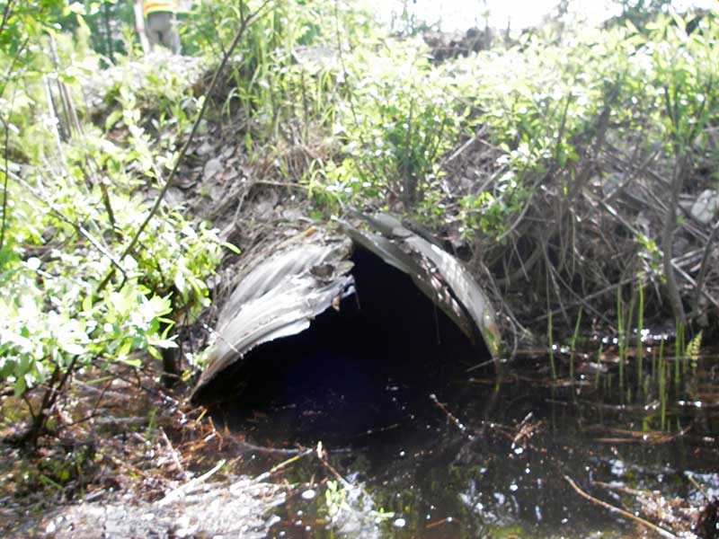
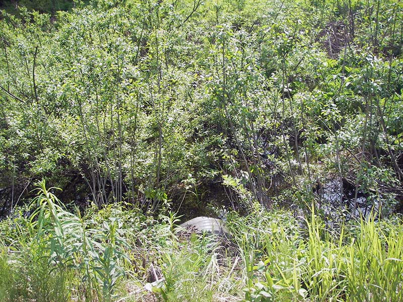
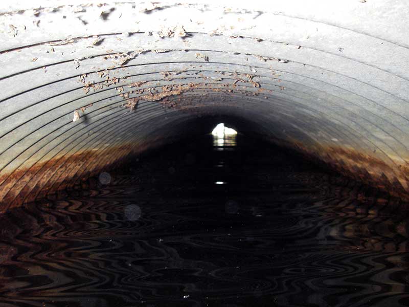
| ID: 1 | Structure Type: Circular pipe (Corrugated steel) | Fish Passage Rating: | |||||||||||||||||||||||||||||||||||||||||
|
|
|
|||||||||||||||||||||||||||||||||||||||||
Comments: 1st 1ft of pipe broken at inlet end; |
|||||||||||||||||||||||||||||||||||||||||||
Culvert Observations:
|
|||||||||||||||||||||||||||||||||||||||||||
Stream Measurements
|
|
| Stream Width Type | Distance From Crossing (ft) |
Stream Width (ft) |
|---|---|---|
| Upstream ordinary high water | 153.0 | 33.00 |
| Upstream ordinary high water | 201.0 | 32.00 |
| Upstream ordinary high water | 272.0 | 29.00 |
Elevations
| Locator ID | Culvert Number |
River Distance (ft)1 |
Distance From Crossing (ft)2 |
Relative Elevation (ft) |
|---|---|---|---|---|
| U/S Headwater | 1 | 98.88 | ||
| Outlet Pool Water Elev | 1 | 98.89 | ||
| D/S Water Surface Elev | 1 | 0.00 | 47.0 | 98.88 |
| D/S Water Surface Elev (ws @ GP) | 1 | 44.00 | 3.0 | 98.89 |
| D/S Grade Ctrl (Thalweg) (TWC? (weak)) | 1 | 44.00 | 3.0 | 97.10 |
| D/S Water Surface Elev (ws @ GP) | 1 | 46.30 | 0.7 | 98.88 |
| Outlet Invert | 1 | 47.00 | 0.0 | 96.68 |
| Road Elev | 1 | 72.00 | 103.55 | |
| Inlet Culvert Invert | 1 | 97.00 | 0.0 | 97.03 |
| U/S Grade Ctrl (Thalweg) | 1 | 97.70 | 0.7 | 97.25 |
Notes:
- River distance is measured continuously throughout the survey reach along the thalweg of the stream.
- Measured from each end of the crossing along the thalweg of the stream.
Fish Sampling Efforts
| Gear Type: Minnow Trap (A) | Trap Duration(h): 1.0 | |
| Comments: no fish caught; 150ft u/s | ||
| Gear Type: Minnow Trap (B) | Trap Duration(h): 1.0 | |
| Comments: no fish caught; 30ft d/s | ||
Fish Observations
No fish observations occurred during this survey.
Photos

Questions or comments about this report can be directed to dfg.dsf.webmaster@alaska.gov