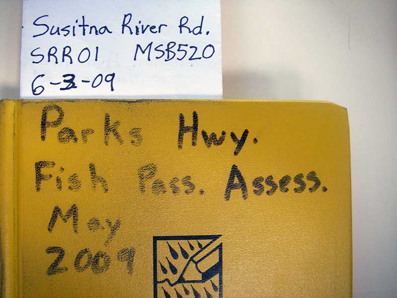
Fish Passage Site 20501516
Coordinates (dec. deg.): 62.31506°, -150.19765°
Legal Description: S026N005W28
Region: South Central
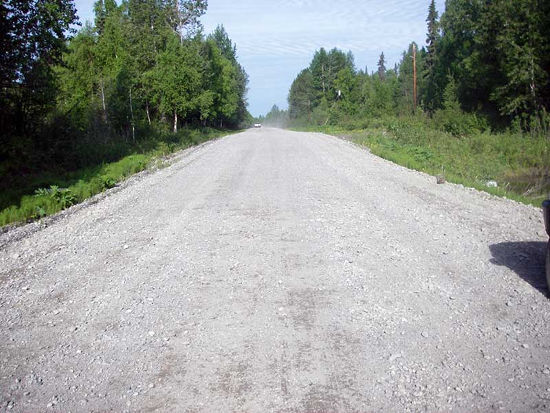
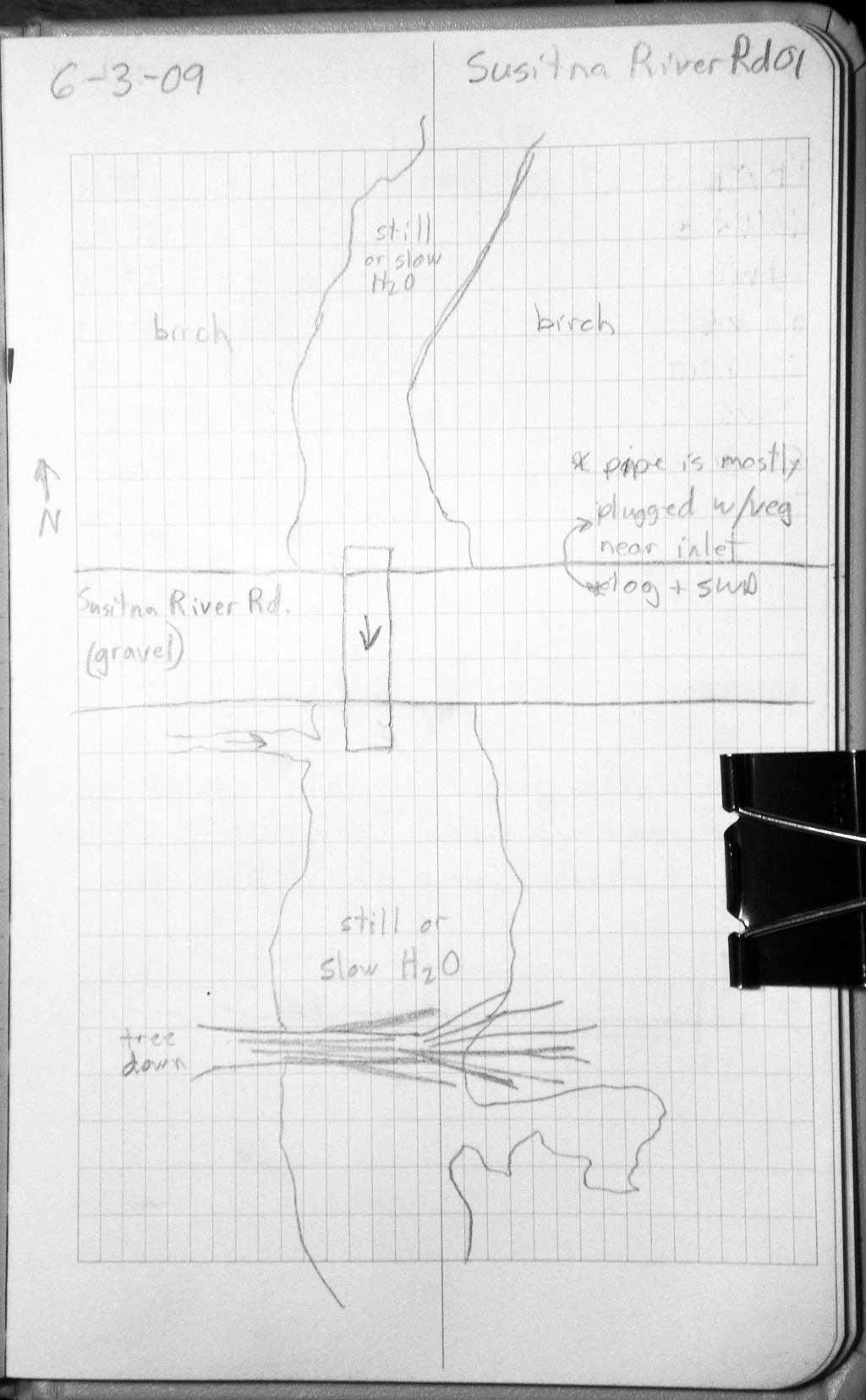
Road Name: Susitna River Road
Datum: WGS84
Quad Name / ITM: Talkeetna B-1
AWC Stream #:
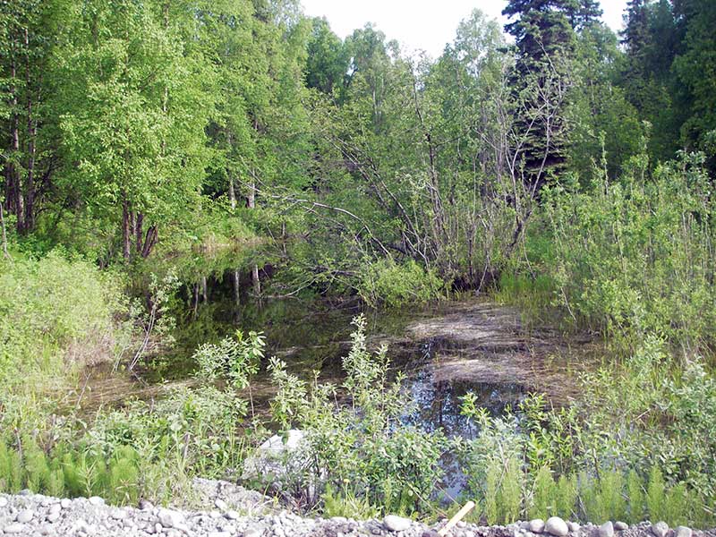
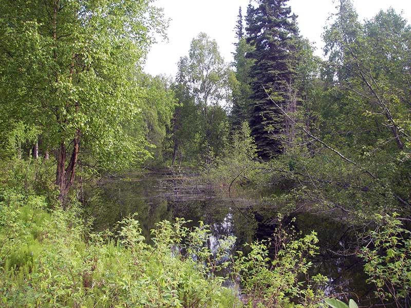
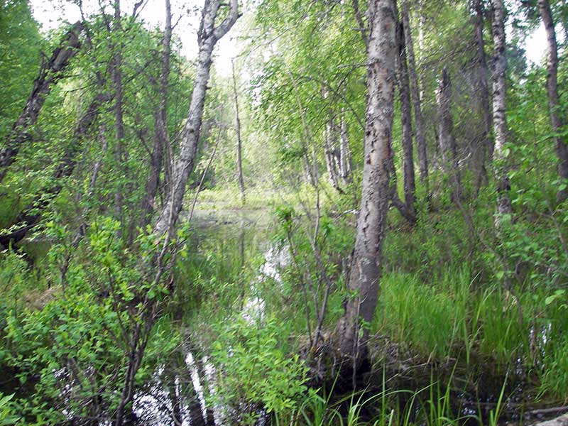
Stream Name: Trapper Creek tributary
Elevation:
Site Comments: None
Survey PRK09-SRR01
Project Supervisor: Gillian O'Doherty, ADFG
Observers: Heidi Zimmer, Ben Histand, Gillian O'Doherty
Overall Fish Passage Rating:
Tidal: No
Backwatered: No
Step Pools:
Construction Year:
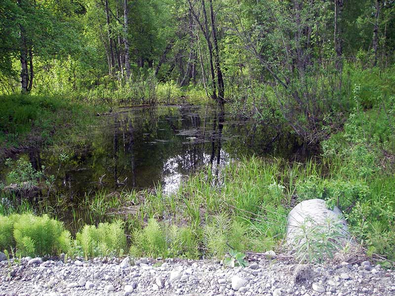
Site Observations:
- Constriction ratio red
- Shallow fill; inadequate roadfill volume above culvert
- Compound gradient in pipe
- Woody Debris
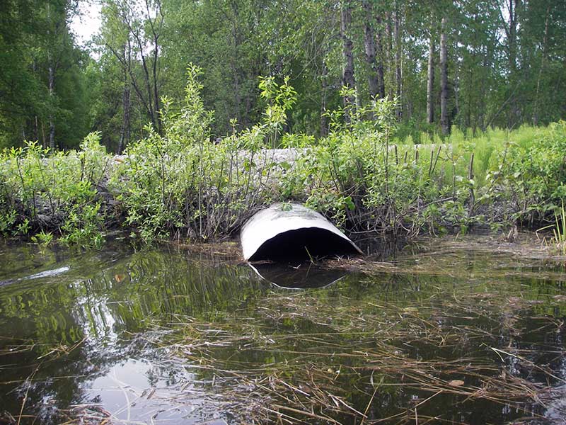
Comments: Gray scum on water in d/s chan; u/s backed up by culvert.
Culvert Measurements
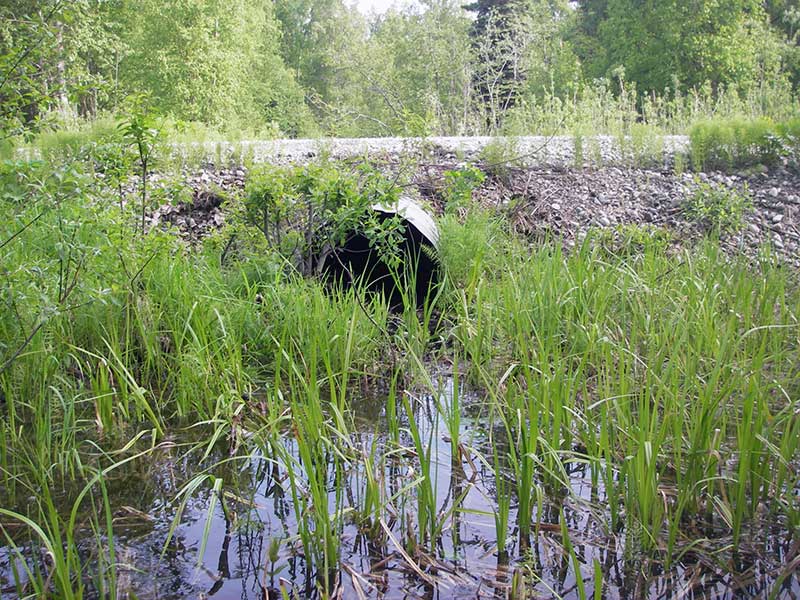
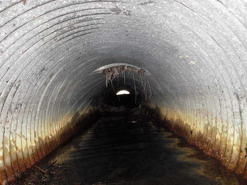
| ID: 1 | Structure Type: Circular pipe (Corrugated steel) | Fish Passage Rating: | |||||||||||||||||||||||||||||||||||||||||
|
|
|
|||||||||||||||||||||||||||||||||||||||||
Comments: pipe plugged w/organic matter 1/3-2/3 of height; |
|||||||||||||||||||||||||||||||||||||||||||
Culvert Observations:
|
|||||||||||||||||||||||||||||||||||||||||||
Stream Measurements
|
|
| Stream Width Type | Distance From Crossing (ft) |
Stream Width (ft) |
|---|---|---|
| Downstream ordinary high water | 170.0 | 43.50 |
| Downstream ordinary high water | 274.0 | 44.00 |
| Downstream ordinary high water | 320.0 | 49.00 |
Elevations
| Locator ID | Culvert Number |
River Distance (ft)1 |
Distance From Crossing (ft)2 |
Relative Elevation (ft) |
|---|---|---|---|---|
| Outlet Pool Water Elev | 1 | 97.87 | ||
| U/S Headwater | 1 | 99.30 | ||
| D/S Water Surface Elev (d/s WS) | 1 | 0.00 | 88.0 | 97.87 |
| Outlet Invert | 1 | 88.00 | 0.0 | 96.79 |
| Road Elev | 114.00 | 101.94 | ||
| Inlet Culvert Invert | 1 | 140.00 | 0.0 | 97.82 |
Notes:
- River distance is measured continuously throughout the survey reach along the thalweg of the stream.
- Measured from each end of the crossing along the thalweg of the stream.
Fish Sampling Efforts
| Gear Type: Minnow Trap (A) | Trap Duration(h): 1.0 | |
| Comments: no fish caught; 50ft u/s | ||
| Gear Type: Minnow Trap (B) | Trap Duration(h): 1.0 | |
| Comments: no fish caught; 50ft d/s | ||
Fish Observations
No fish observations occurred during this survey.
Photos
Questions or comments about this report can be directed to dfg.dsf.webmaster@alaska.gov