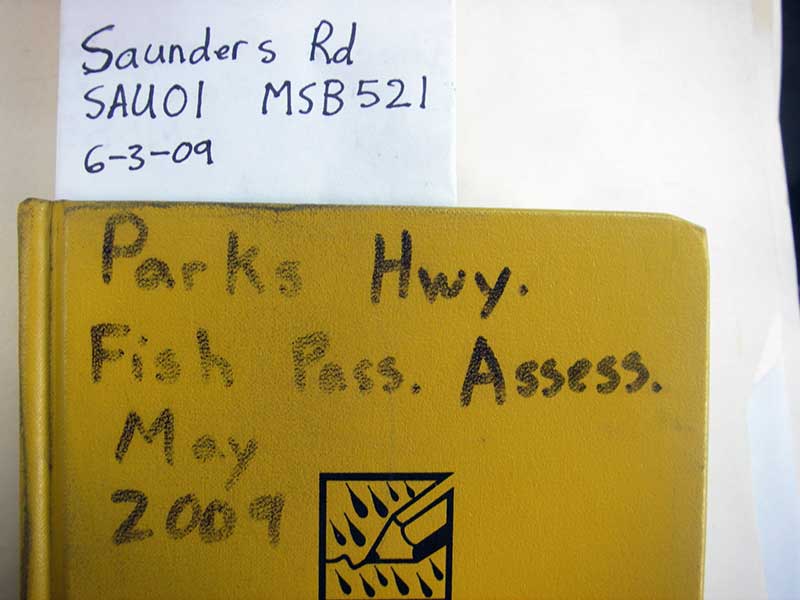
Fish Passage Site 20501513
Coordinates (dec. deg.): 62.30718°, -150.18503°
Legal Description: S026N005W27
Region: South Central
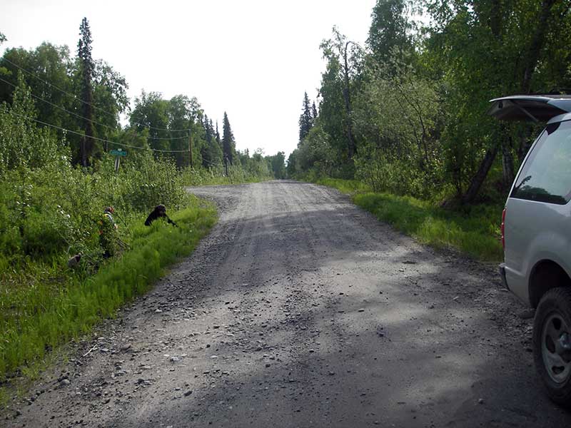
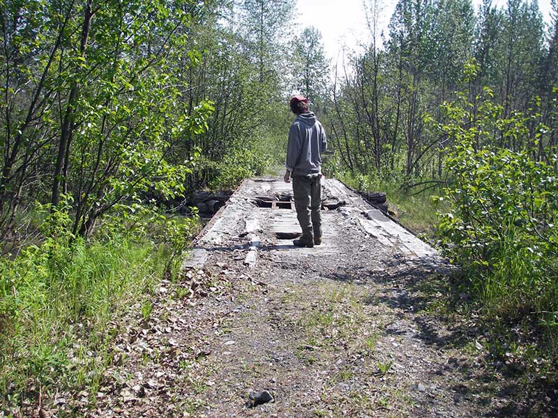
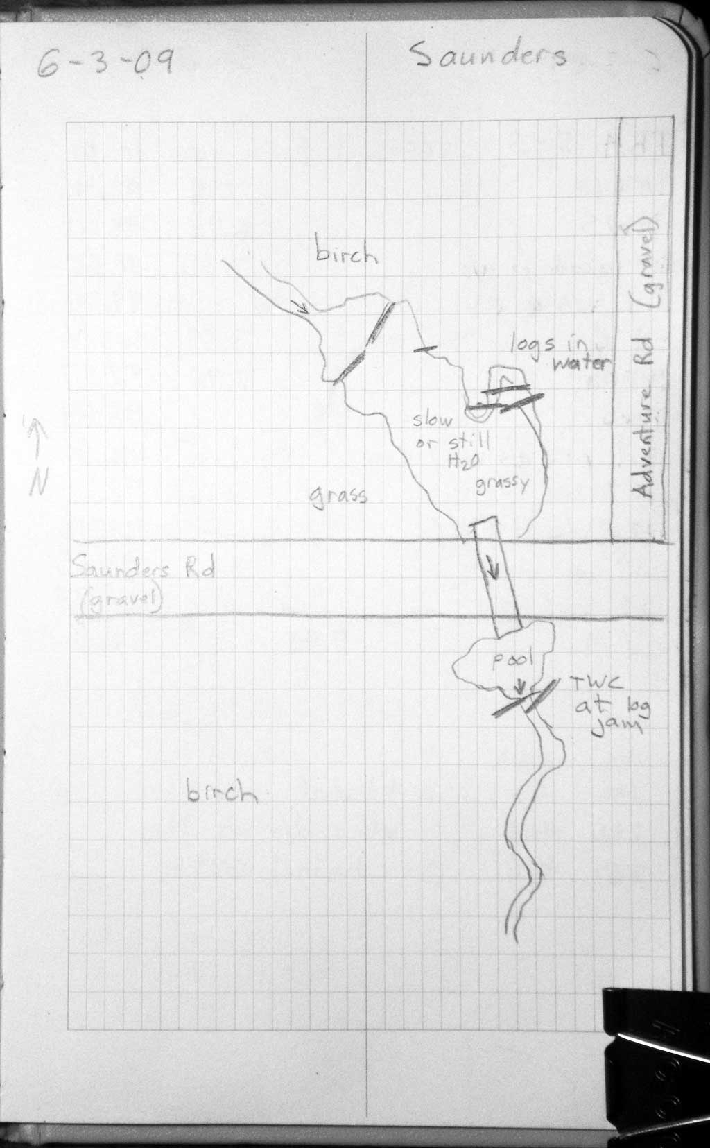
Road Name: Saunders Road
Datum: WGS84
Quad Name / ITM: Talkeetna B-1
AWC Stream #:
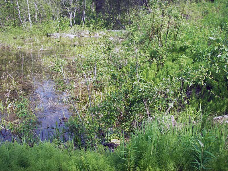
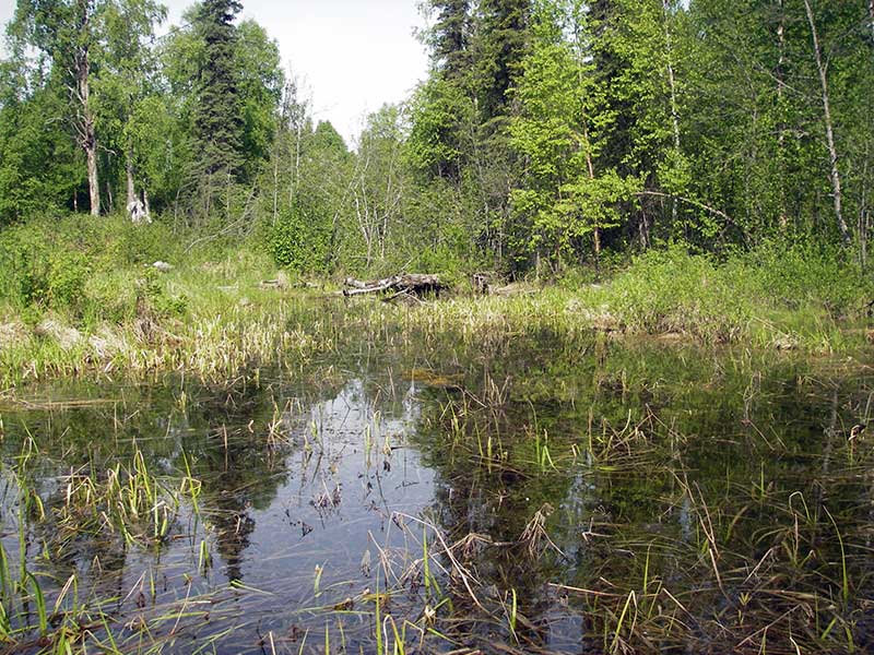
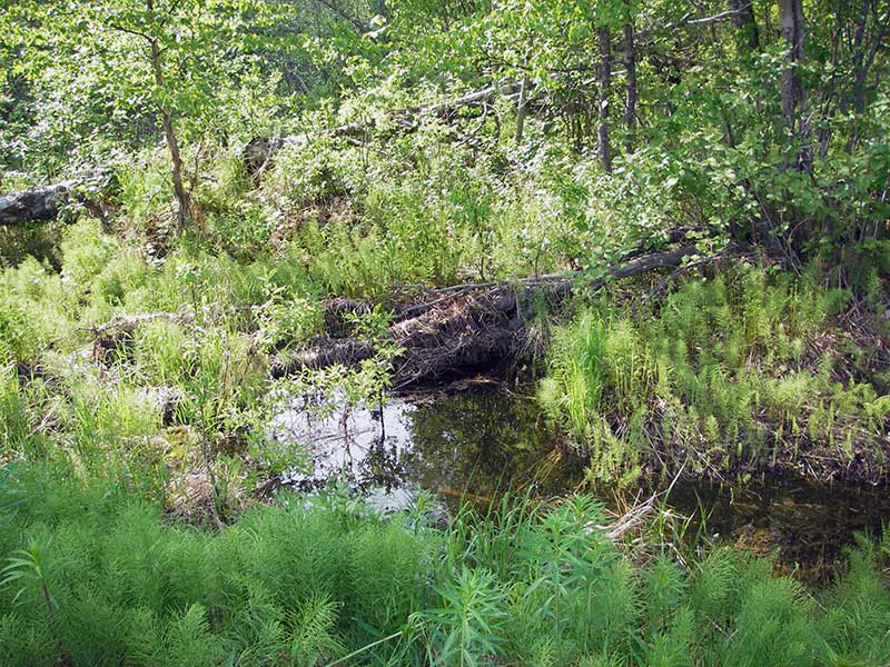
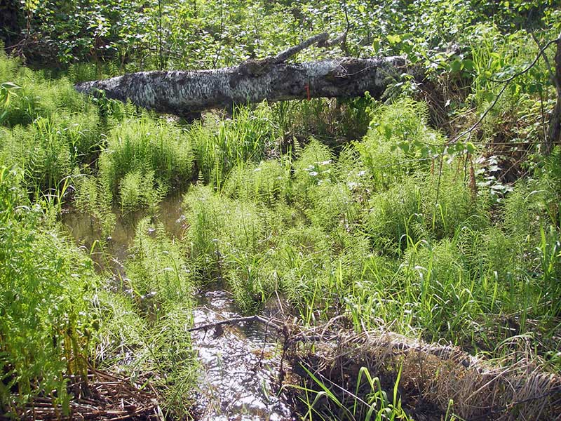
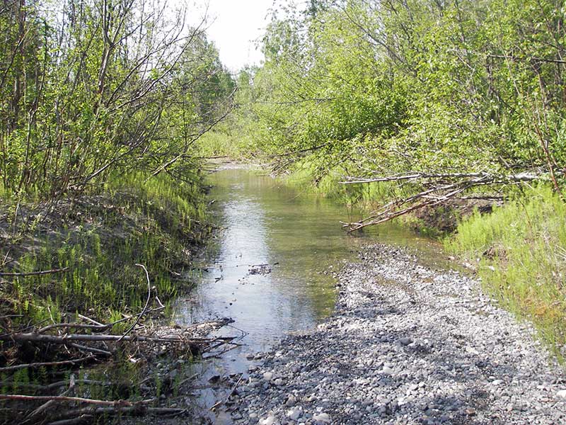
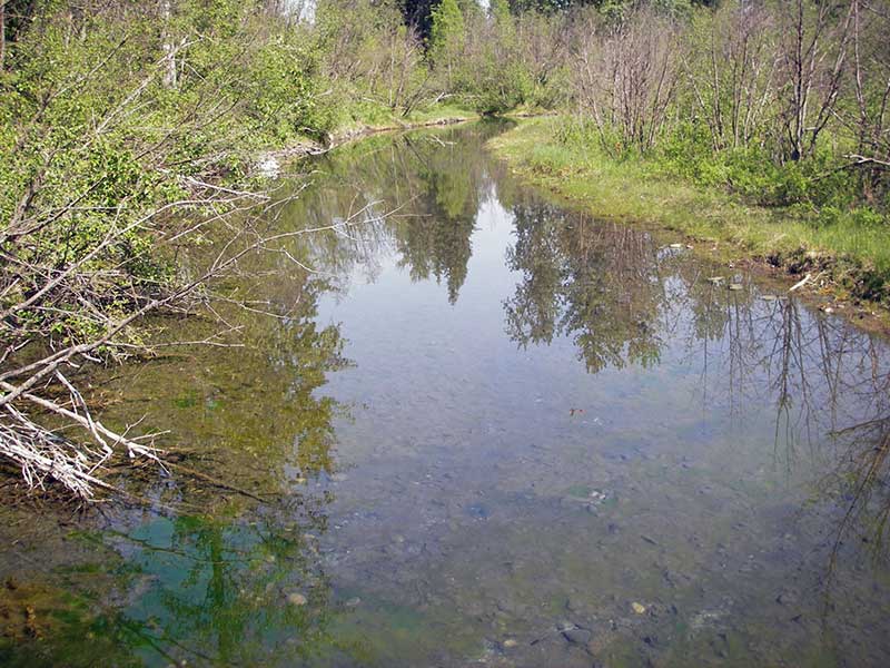
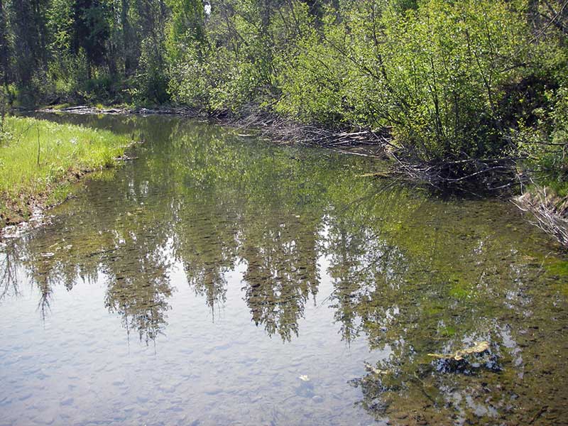
Stream Name: Susitna River tributary
Elevation:
Site Comments: None
Survey PRK09-SAU01
Project Supervisor: Gillian O'Doherty, ADFG
Observers: Heidi Zimmer, Ben Histand, Gillian O'Doherty
Overall Fish Passage Rating:
Tidal: No
Backwatered: No
Step Pools:
Construction Year:
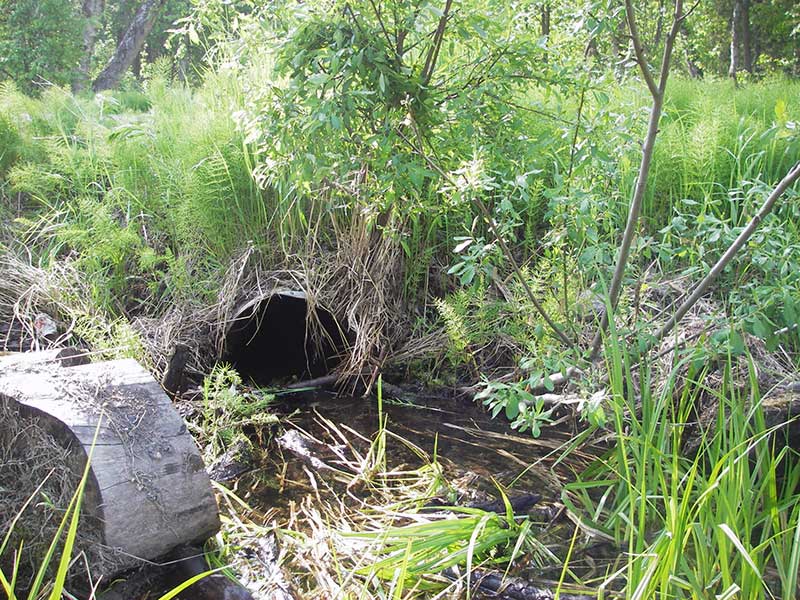
Site Observations:
- Constriction ratio red
- Culvert gradient red
- Shallow fill; inadequate roadfill volume above culvert
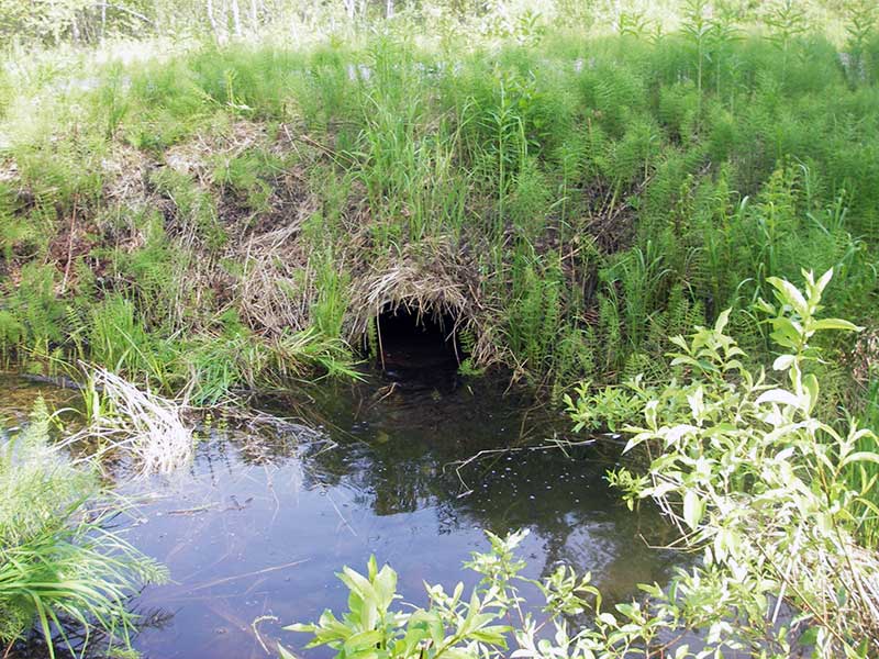
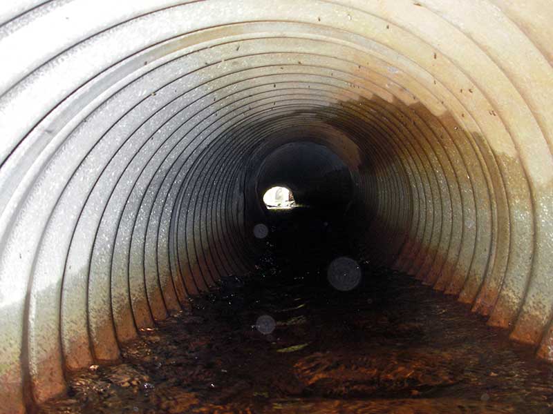
Comments: Pipe has bend in bottom 1/5 of length; otherwise cond good; no fish captured.
Culvert Measurements
| ID: 1 | Structure Type: Circular pipe (Corrugated steel) | Fish Passage Rating: | |||||||||||||||||||||||||||||||||||||||||
|
|
|
|||||||||||||||||||||||||||||||||||||||||
Culvert Observations:
|
|||||||||||||||||||||||||||||||||||||||||||
Stream Measurements
|
|
| Stream Width Type | Distance From Crossing (ft) |
Stream Width (ft) |
|---|---|---|
| Downstream ordinary high water | 185.0 | 5.50 |
| Downstream ordinary high water | 200.0 | 4.00 |
| Downstream ordinary high water | 216.0 | 4.50 |
Elevations
| Locator ID | Culvert Number |
River Distance (ft)1 |
Distance From Crossing (ft)2 |
Relative Elevation (ft) |
|---|---|---|---|---|
| Outlet Pool Water Elev | 1 | 98.59 | ||
| U/S Headwater | 1 | 99.00 | ||
| D/S Water Surface Elev | 1 | 0.00 | 28.0 | 98.28 |
| D/S Grade Ctrl (Thalweg) | 1 | 0.00 | 28.0 | 97.85 |
| D/S Tailcrest or 1st Thalweg | 1 | 15.30 | 12.7 | 98.09 |
| D/S Water Surface Elev | 1 | 15.30 | 12.7 | 98.46 |
| D/S Thalweg (bottom of outlet pool (sc)) | 1 | 21.90 | 6.1 | 96.80 |
| D/S Water Surface Elev | 1 | 26.60 | 1.4 | 99.04 |
| Outlet Invert | 1 | 28.00 | 0.0 | 97.97 |
| Road Elev | 1 | 43.00 | 102.06 | |
| Inlet Culvert Invert | 1 | 58.00 | 0.0 | 98.46 |
| U/S Grade Ctrl (Thalweg) | 1 | 59.40 | 1.4 | 98.60 |
Notes:
- River distance is measured continuously throughout the survey reach along the thalweg of the stream.
- Measured from each end of the crossing along the thalweg of the stream.
Fish Sampling Efforts
| Gear Type: Minnow Trap (A) | Trap Duration(h): 1.0 | |
| Comments: no fish caught; 75ft u/s | ||
| Gear Type: Minnow Trap (B) | Trap Duration(h): 1.0 | |
| Comments: no fish caught; 31ft d/s | ||
Fish Observations
No fish observations occurred during this survey.
Photos
Questions or comments about this report can be directed to dfg.dsf.webmaster@alaska.gov