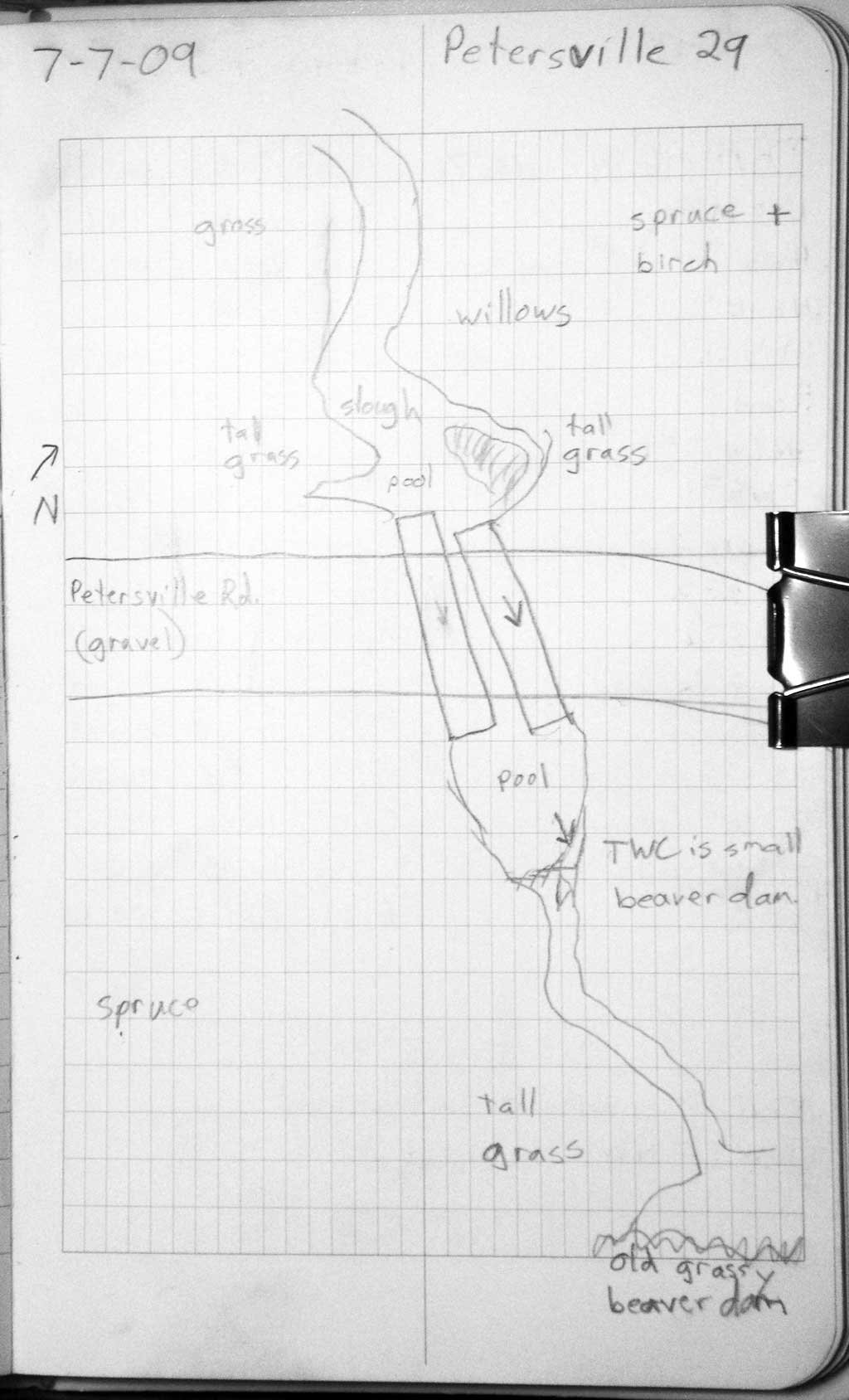
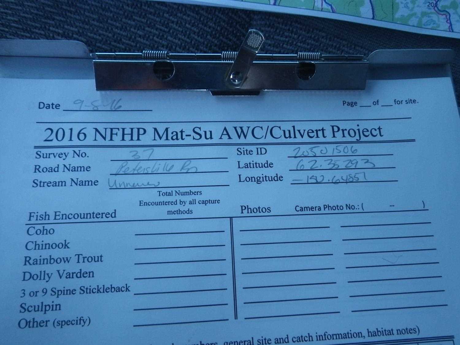
Fish Passage Site 20501506
Coordinates (dec. deg.): 62.35305°, -150.64861°
Legal Description: S026N007W07
Region: South Central
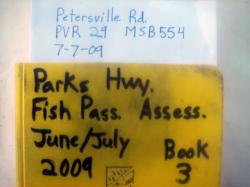
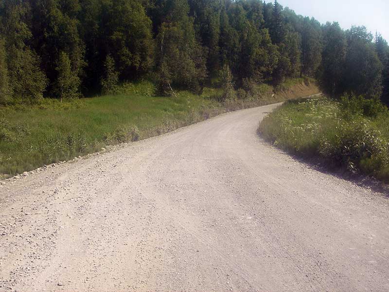
Road Name: Petersville Road
Datum: WGS84
Quad Name / ITM: Talkeetna B-2
AWC Stream #:
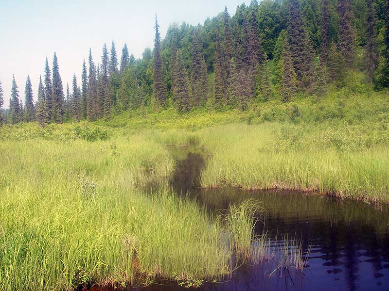
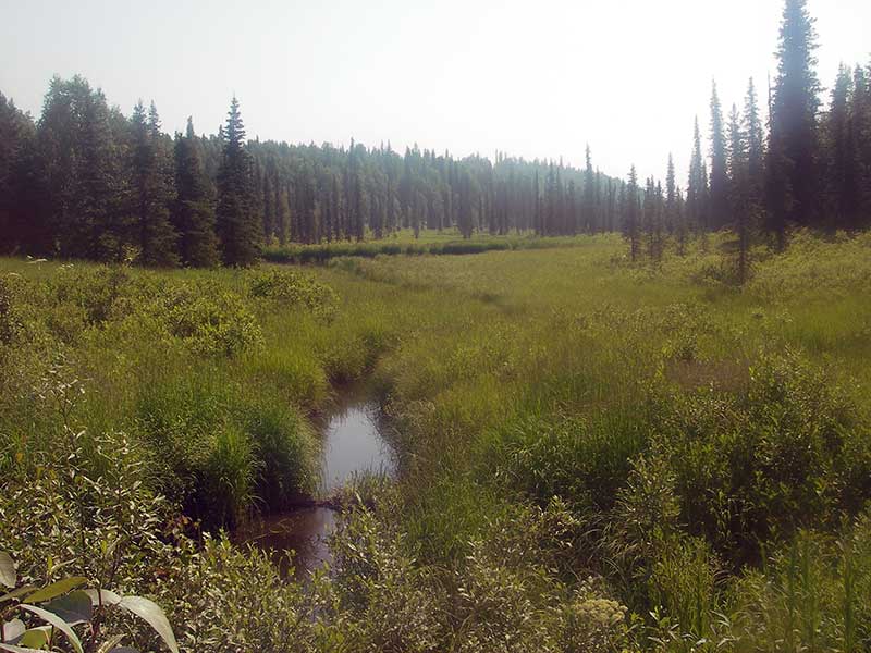
Stream Name: Kroto Creek tributary
Elevation:
Site Comments: None
Survey PRK09-PVR29
Project Supervisor: Gillian O'Doherty, ADFG
Observers: Heidi Zimmer, Ben Histand
Overall Fish Passage Rating:
Tidal: No
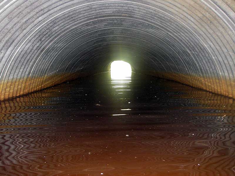
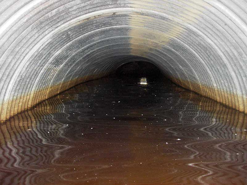
Backwatered: Yes
Step Pools:
Construction Year:
Site Observations:
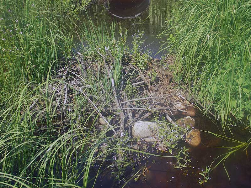
- Woody Debris
- Culvert gradient gray
- Beaver Activity
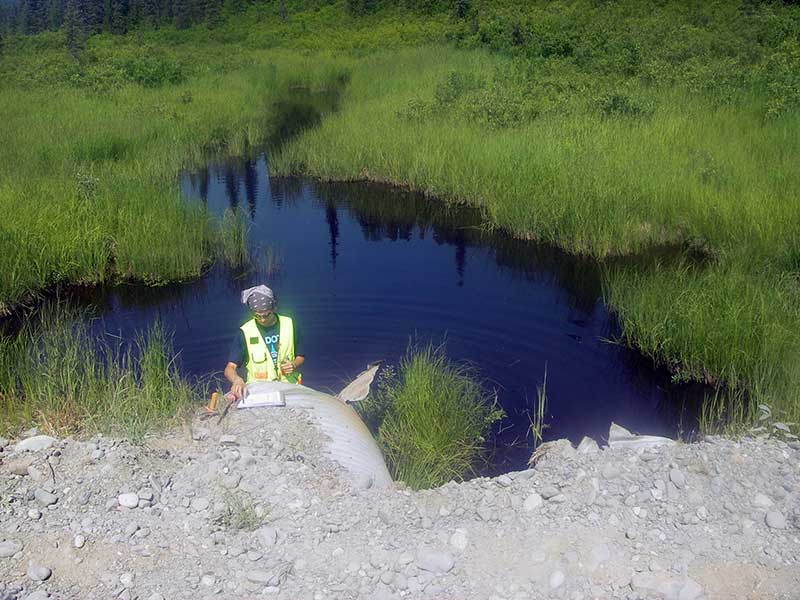
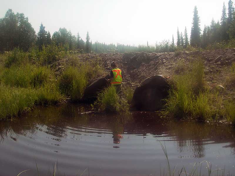
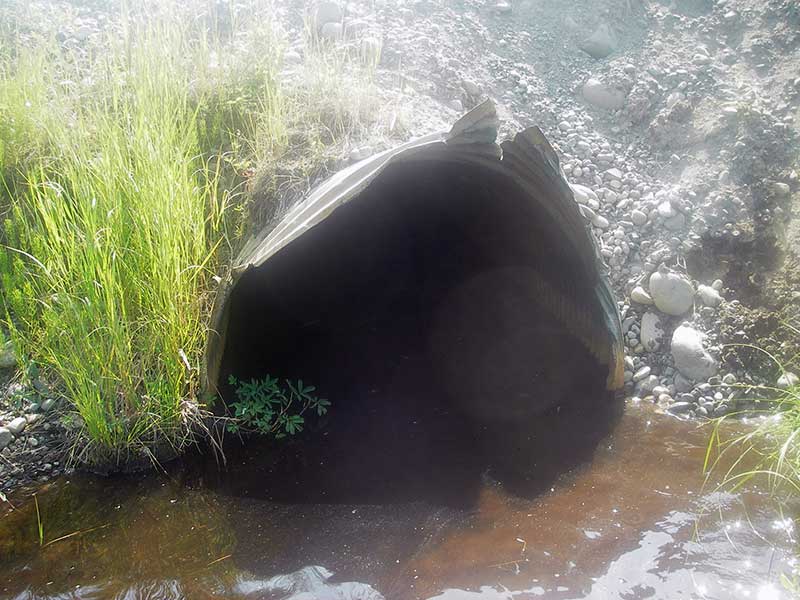
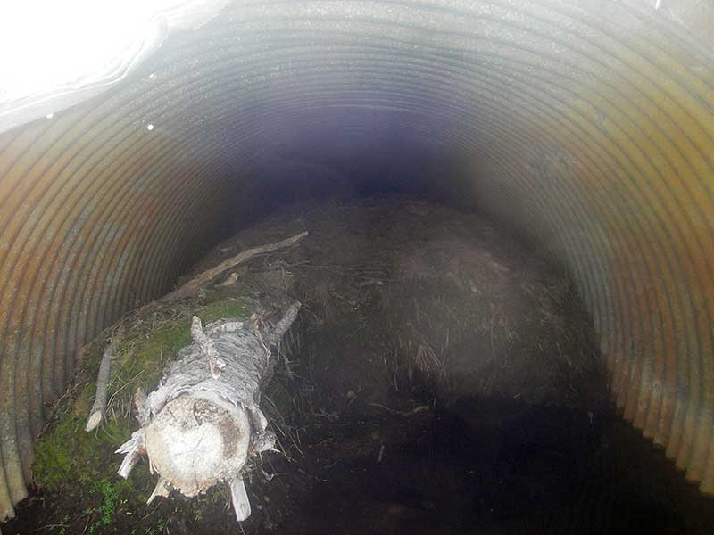
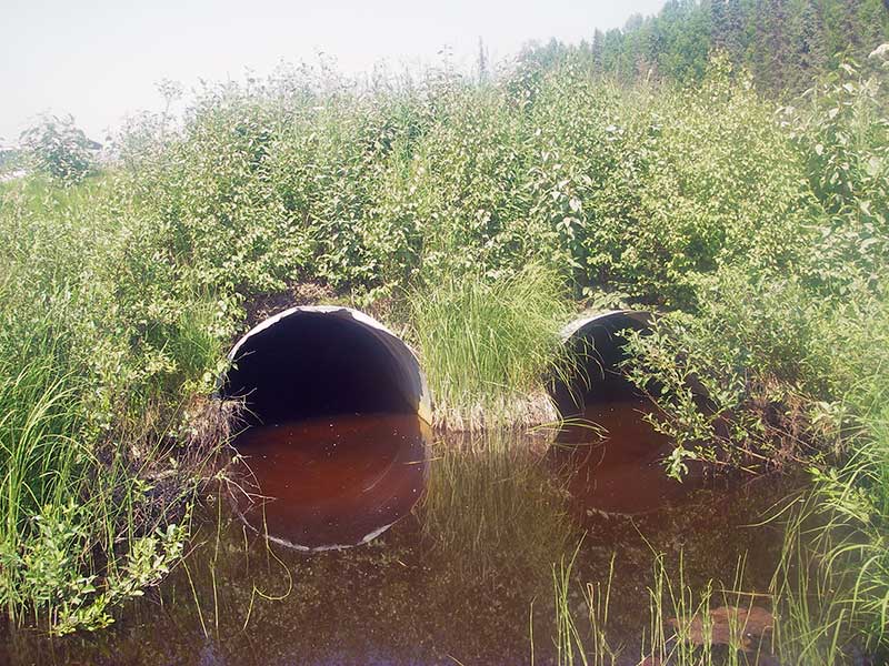
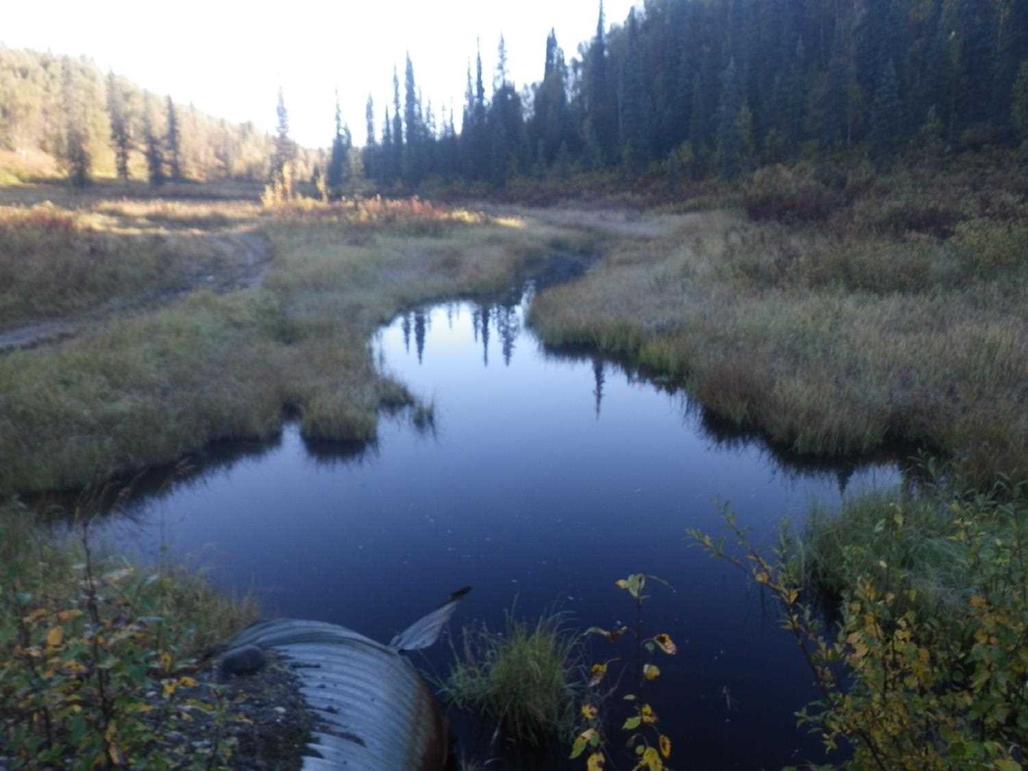
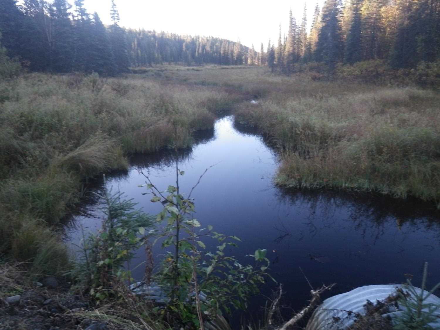
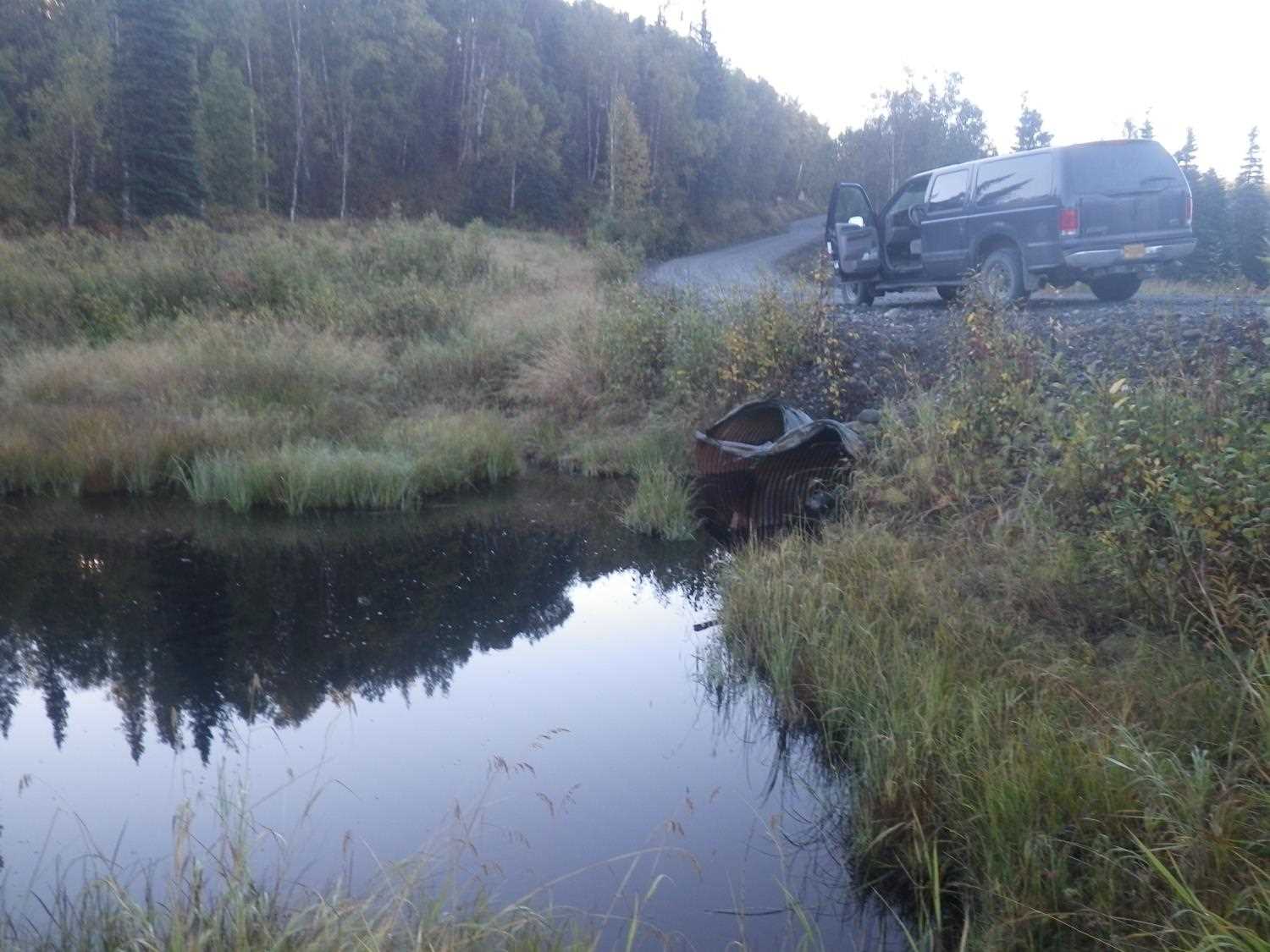
Comments: **Updated Site photos added from 9/8/16 site visit from Sampling Unmapped Streams in the MSB project.** Fish data in AFFI. Large spruce jammed in pipe 2.
Culvert Measurements
| ID: 1 | Structure Type: Circular pipe (Corrugated steel) | Fish Passage Rating: | |||||||||||||||||||||||||||||||||||||||||
|
|
|
|||||||||||||||||||||||||||||||||||||||||
Culvert Observations:
|
|||||||||||||||||||||||||||||||||||||||||||
| ID: 2 | Structure Type: Circular pipe (Corrugated steel) | Fish Passage Rating: | |||||||||||||||||||||||||||||||||||||||||
|
|
|
|||||||||||||||||||||||||||||||||||||||||
Comments: Pipe nearly plugged at inlet with dirt packed around a dead spruce. Slope from pipe w/o substrate at inlet. |
|||||||||||||||||||||||||||||||||||||||||||
Culvert Observations:
|
|||||||||||||||||||||||||||||||||||||||||||
Stream Measurements
|
|
| Stream Width Type | Distance From Crossing (ft) |
Stream Width (ft) |
|---|---|---|
| Upstream ordinary high water | 84.0 | 12.00 |
| Upstream ordinary high water | 145.0 | 6.00 |
| Upstream ordinary high water | 175.0 | 5.50 |
Elevations
| Locator ID | Culvert Number |
River Distance (ft)1 |
Distance From Crossing (ft)2 |
Relative Elevation (ft) |
|---|---|---|---|---|
| U/S Headwater | 1 | 96.78 | ||
| U/S Headwater | 2 | 96.78 | ||
| Outlet Pool Water Elev | 1 | 96.78 | ||
| Outlet Pool Water Elev | 2 | 96.80 | ||
| D/S Water Surface Elev (d/s) | 0.00 | 73.0 | 96.10 | |
| D/S Water Surface Elev (imm. d/s of TWC dam) | 51.50 | 21.5 | 96.11 | |
| D/S Tailcrest or 1st Thalweg | 54.40 | 18.6 | 96.43 | |
| D/S Water Surface Elev (WS at TWC) | 54.40 | 18.6 | 96.79 | |
| D/S Thalweg | 1 | 68.00 | 5.0 | 94.25 |
| D/S Thalweg | 2 | 68.00 | 5.0 | 94.49 |
| Outlet Invert | 2 | 73.00 | 0.0 | 94.60 |
| Outlet Invert | 1 | 73.00 | 0.0 | 94.23 |
| Road Elev | 104.50 | 103.28 | ||
| Inlet Culvert Invert (on substrate) | 2 | 136.00 | 0.0 | 96.23 |
| Inlet Culvert Invert (Pool imm. u/s inlets) | 1 | 136.00 | 0.0 | 94.63 |
Notes:
- River distance is measured continuously throughout the survey reach along the thalweg of the stream.
- Measured from each end of the crossing along the thalweg of the stream.
Fish Sampling Efforts
No fish sampling occurred during this survey.
Fish Observations
No fish observations occurred during this survey.
Photos
Questions or comments about this report can be directed to dfg.dsf.webmaster@alaska.gov