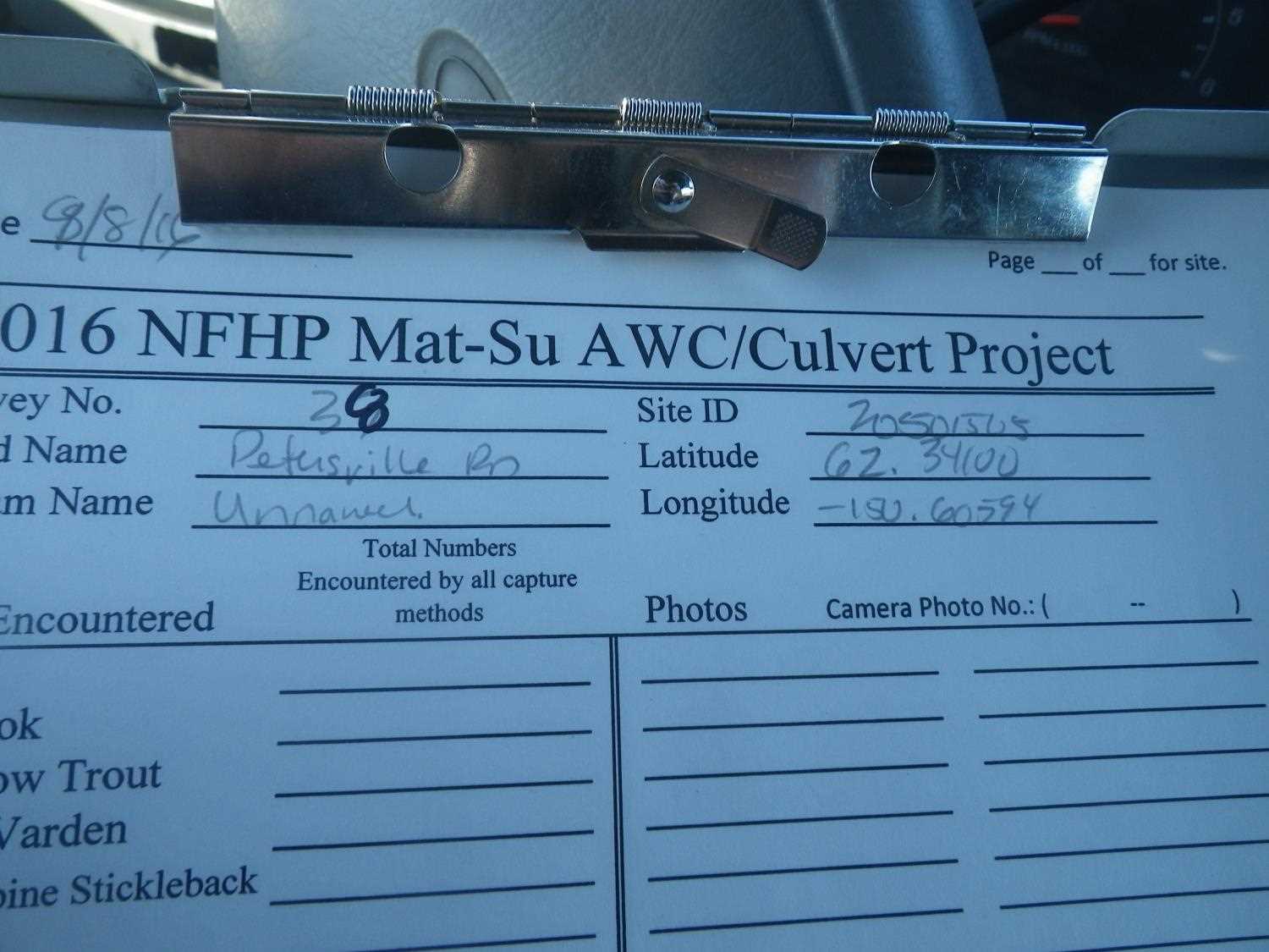
Fish Passage Site 20501505
Coordinates (dec. deg.): 62.34094°, -150.60600°
Legal Description: S026N007W17
Region: South Central
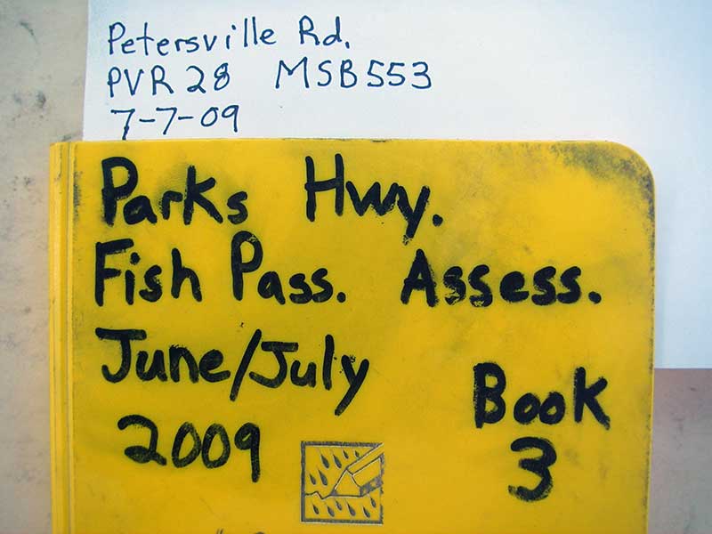
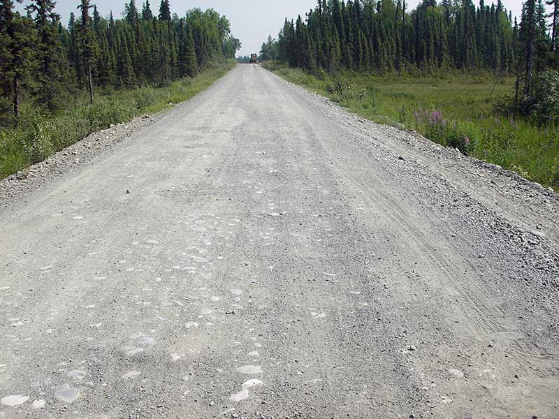
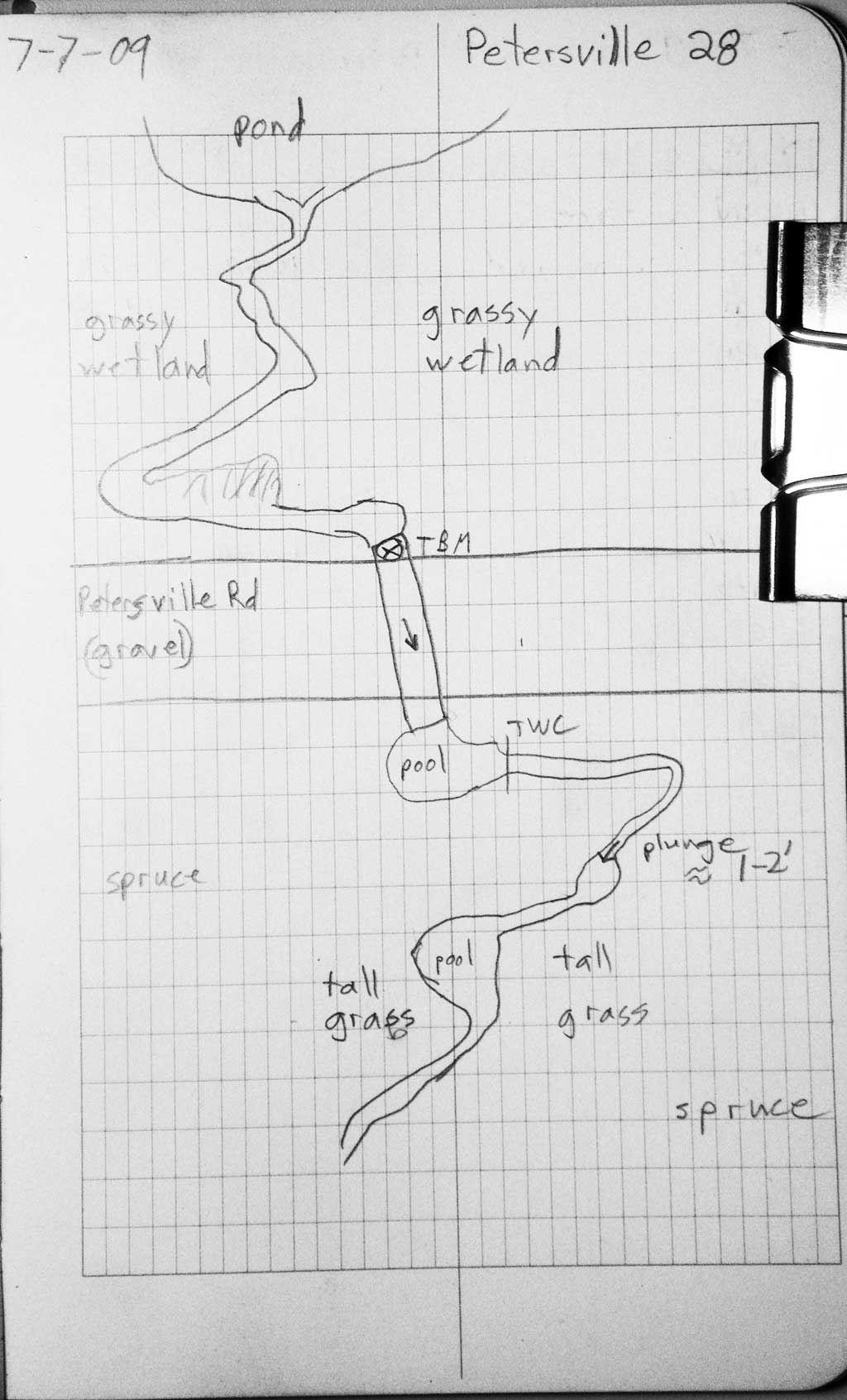
Road Name: Petersville Road
Datum: WGS84
Quad Name / ITM: Talkeetna B-2
AWC Stream #: 247-41-10200-2081-3196
Stream Name: Kroto Creek tributary
Elevation:
Site Comments: None
Survey PRK09-PVR28
Project Supervisor: Gillian O'Doherty, ADFG
Observers: Heidi Zimmer, Ben Histand
Overall Fish Passage Rating:
Tidal: No
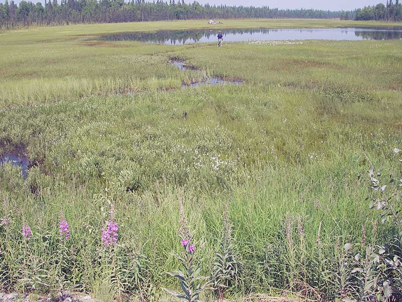
Backwatered: Yes
Step Pools:
Construction Year:
Site Observations:
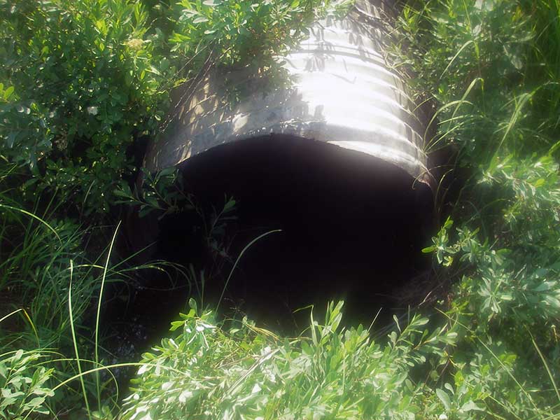
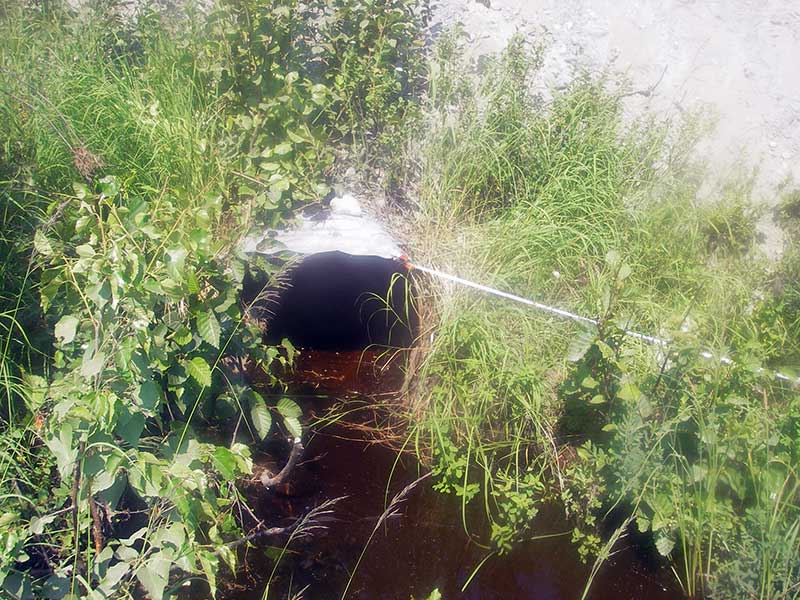
- Culvert is poorly aligned
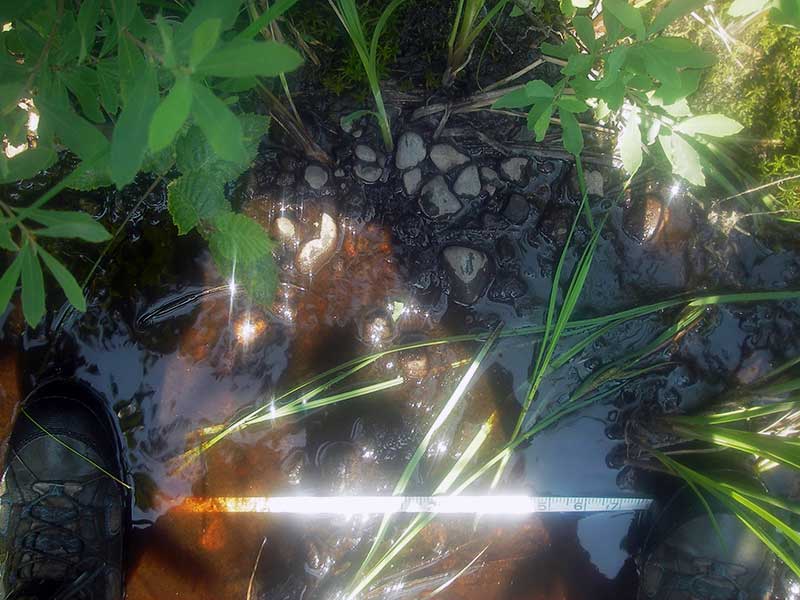
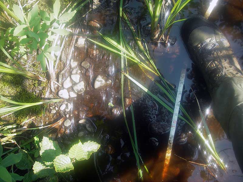
Comments: **Updated site photos added from 9/8/16 site visit from Sampling Unmapped Streams in the MSB project.Fish sampling information entered into AFFI** TWC > inverts = backwatered.
Culvert Measurements
| ID: 1 | Structure Type: Circular pipe (Corrugated steel) | Fish Passage Rating: | |||||||||||||||||||||||||||||||||||||||||
|
|
|
|||||||||||||||||||||||||||||||||||||||||
Comments: Tailwater control is higher than invert, site is backwatered. |
|||||||||||||||||||||||||||||||||||||||||||
Culvert Observations:
|
|||||||||||||||||||||||||||||||||||||||||||
Stream Measurements
|
|
| Stream Width Type | Distance From Crossing (ft) |
Stream Width (ft) |
|---|---|---|
| Downstream ordinary high water | 36.0 | 1.20 |
| Downstream ordinary high water | 105.0 | 1.50 |
| Downstream ordinary high water | 140.0 | 1.50 |
Elevations
| Locator ID | Culvert Number |
River Distance (ft)1 |
Distance From Crossing (ft)2 |
Relative Elevation (ft) |
|---|---|---|---|---|
| U/S Headwater (Pool imm. u/s inlet) | 1 | 97.79 | ||
| Outlet Pool Water Elev | 1 | 97.79 | ||
| D/S Grade Ctrl (Thalweg) | 1 | 0.00 | 36.0 | 97.24 |
| D/S Water Surface Elev (WS @ GP) | 1 | 0.00 | 36.0 | 97.36 |
| D/S Tailcrest or 1st Thalweg | 1 | 22.50 | 13.5 | 97.69 |
| D/S Water Surface Elev (WS @ TWC) | 1 | 22.50 | 13.5 | 97.77 |
| D/S Thalweg (bottom of outlet pool) | 1 | 33.00 | 3.0 | 96.62 |
| D/S Thalweg (streambed at outlet end of pipe) | 1 | 36.00 | 0.0 | 96.93 |
| Outlet Invert | 1 | 36.00 | 0.0 | 97.21 |
| Road Elev | 1 | 61.00 | 105.04 | |
| Inlet Culvert Invert | 1 | 86.00 | 0.0 | 97.09 |
Notes:
- River distance is measured continuously throughout the survey reach along the thalweg of the stream.
- Measured from each end of the crossing along the thalweg of the stream.
Fish Sampling Efforts
| Gear Type: Minnow Trap (A) | Trap Duration(h): 1.0 | |
| Comments: no fish caught; 150ft u/s | ||
| Gear Type: Minnow Trap (B) | Trap Duration(h): 1.0 | |
| Comments: no fish caught; 80ft d/s | ||
| Gear Type: Minnow Trap (C) | Trap Duration(h): 16.0 | |
| Comments: Site trapped 9/8/16. Two traps set upstream one 10 feet upstream and one about 50 feet upstream from crossing. | ||
| Gear Type: Minnow Trap (D) | Trap Duration(h): 16.0 | |
| Comments: Site trapped 9/8/16. Trap set about 10 feet downstream. | ||
Fish Observations
No fish observations occurred during this survey.
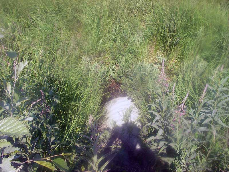
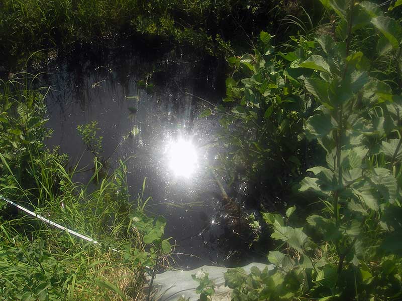
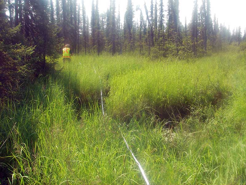
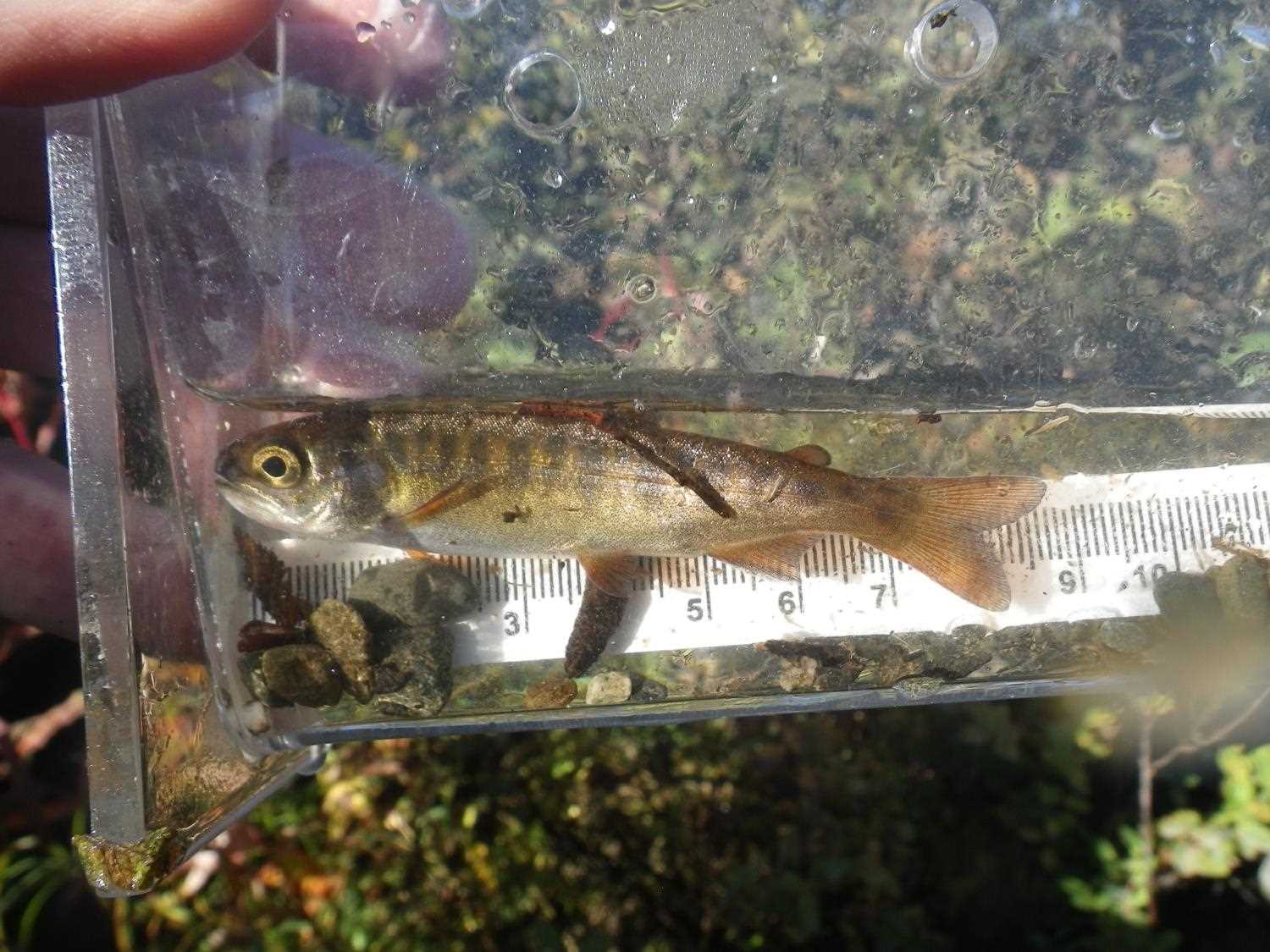
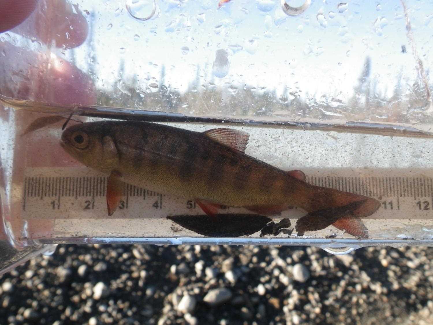
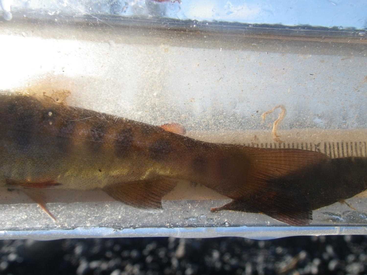
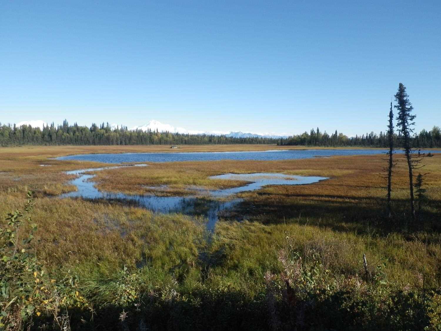
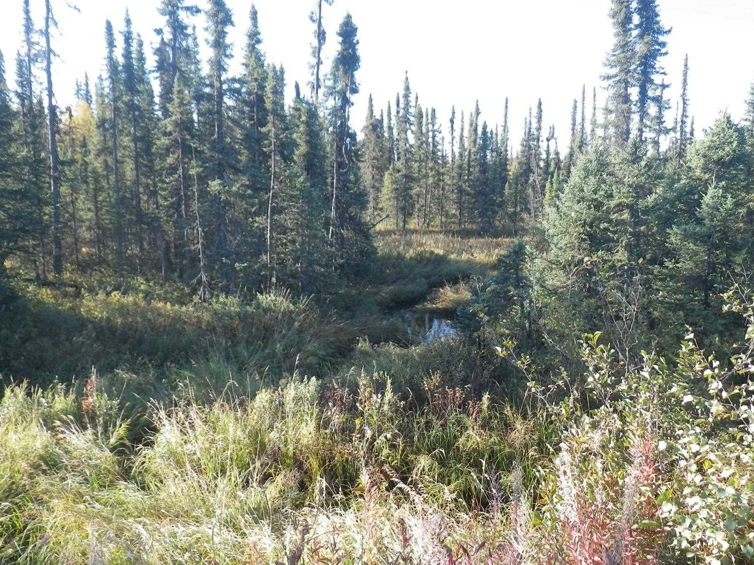
Photos

Questions or comments about this report can be directed to dfg.dsf.webmaster@alaska.gov