Fish Passage Site 20501503
Coordinates (dec. deg.): 62.43077°, -150.70657°
Legal Description: S027N008W14
Region: South Central
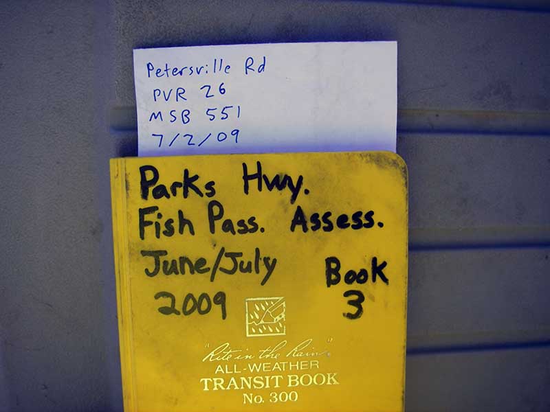
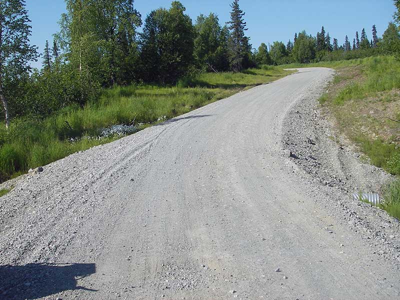
Road Name: Petersville Road
Datum: WGS84
Quad Name / ITM: Talkeetna B-2
AWC Stream #:
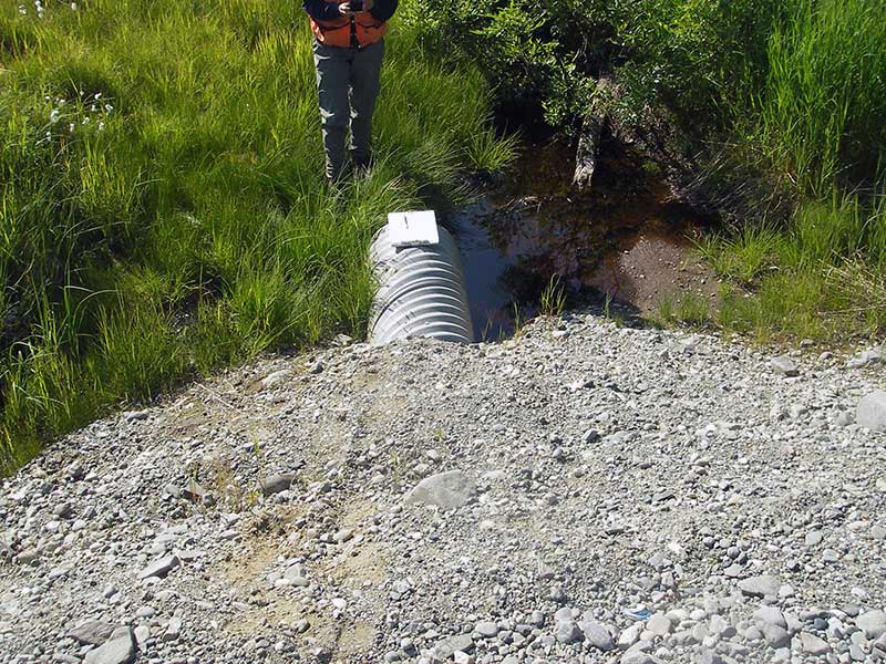
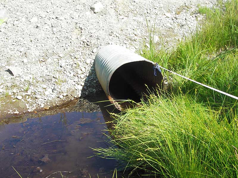
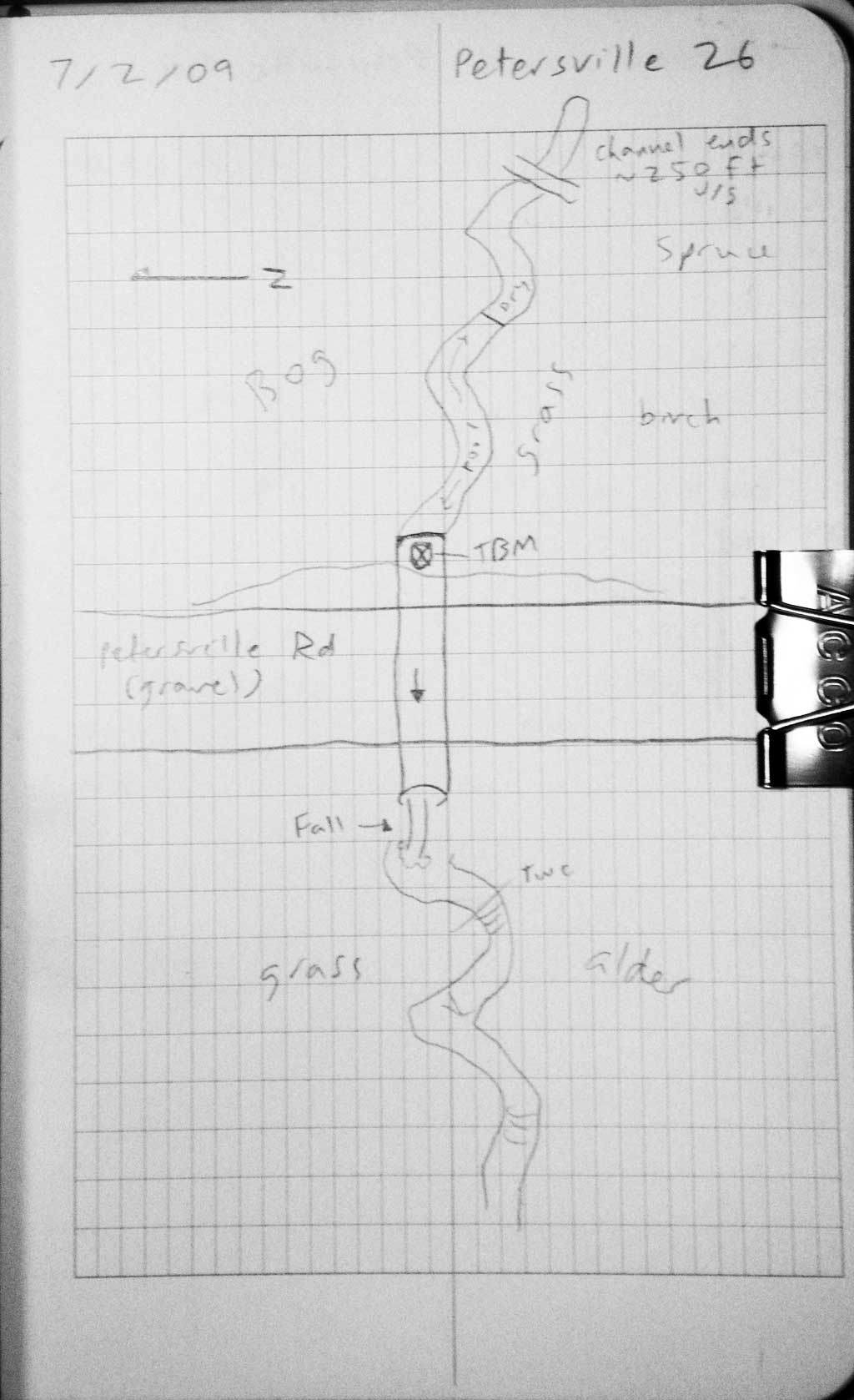
Stream Name: Deep Creek tributary
Elevation:
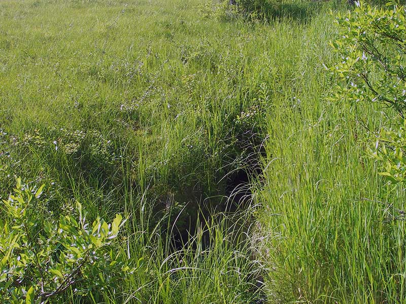
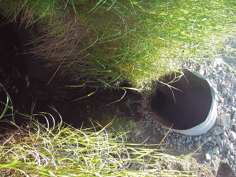
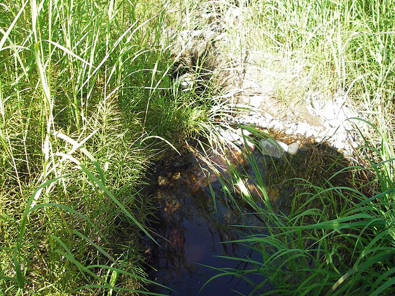
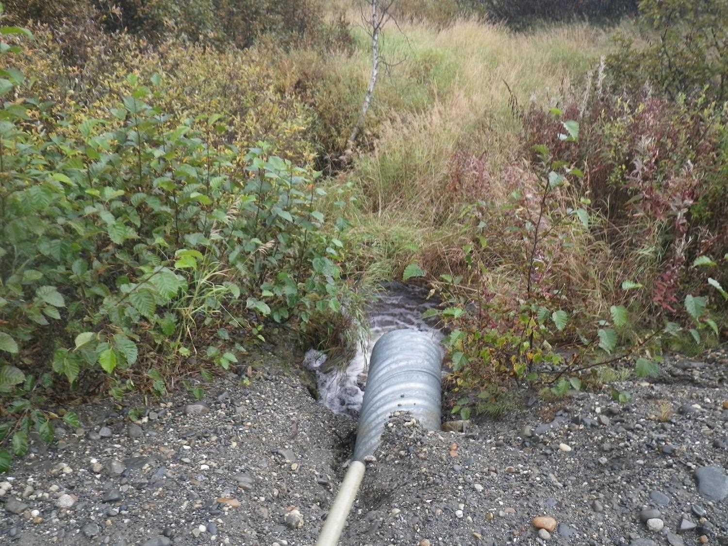
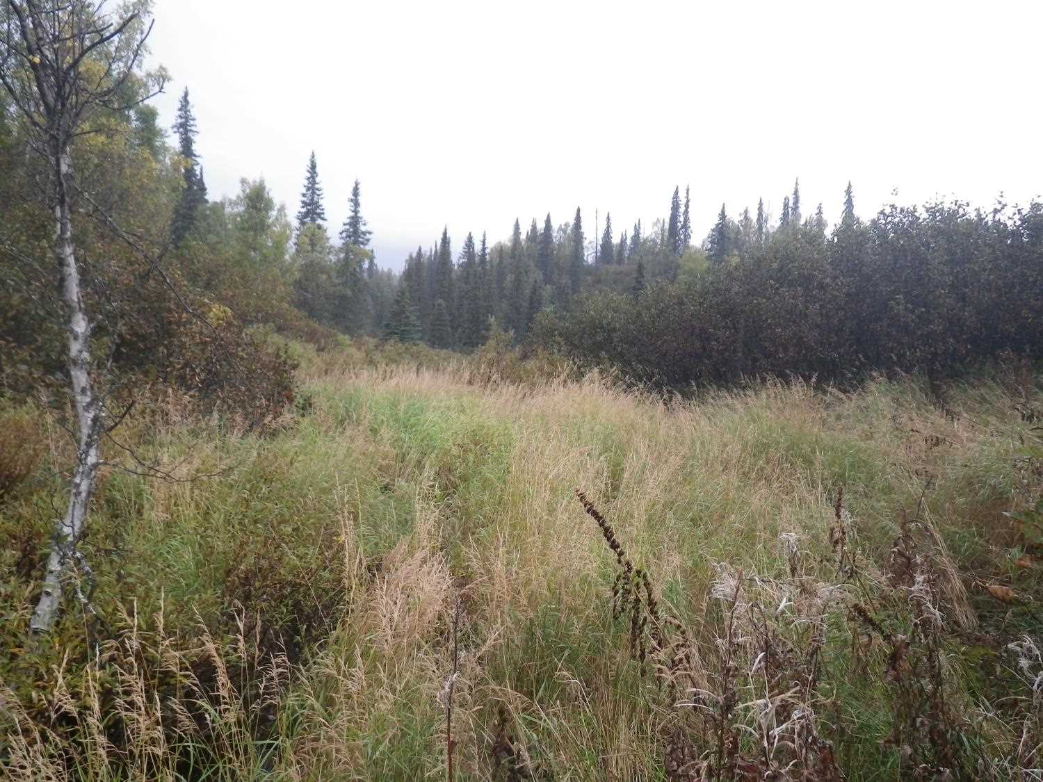
Site Comments: Channel stops 250' u/s, drains meadow.
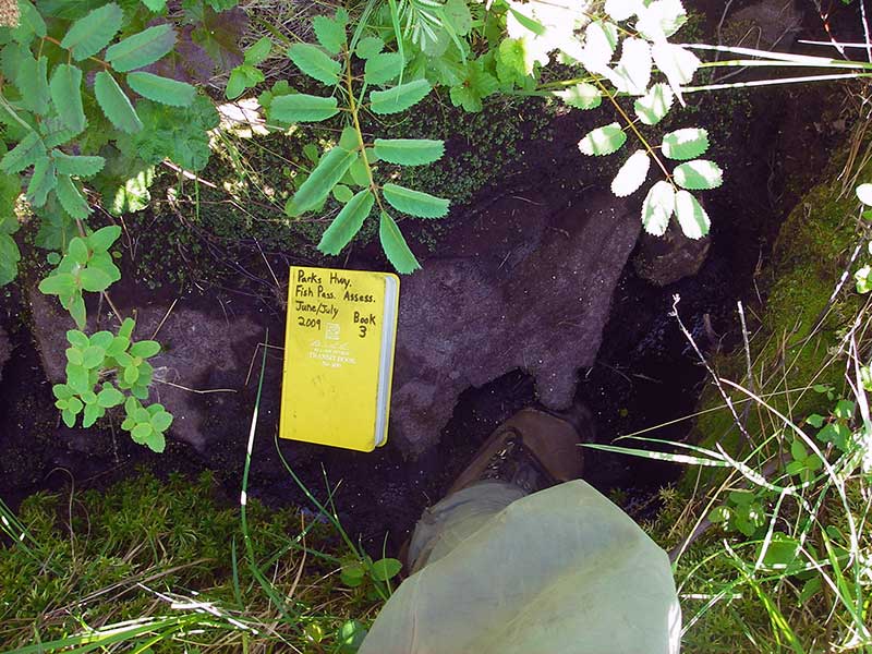
Survey PRK09-PVR26
Project Supervisor: Gillian O'Doherty, ADFG
Observers: Heidi Zimmer, Ben Histand
Overall Fish Passage Rating:
Tidal: No
Backwatered: No
Step Pools: No
Construction Year:
Site Observations:
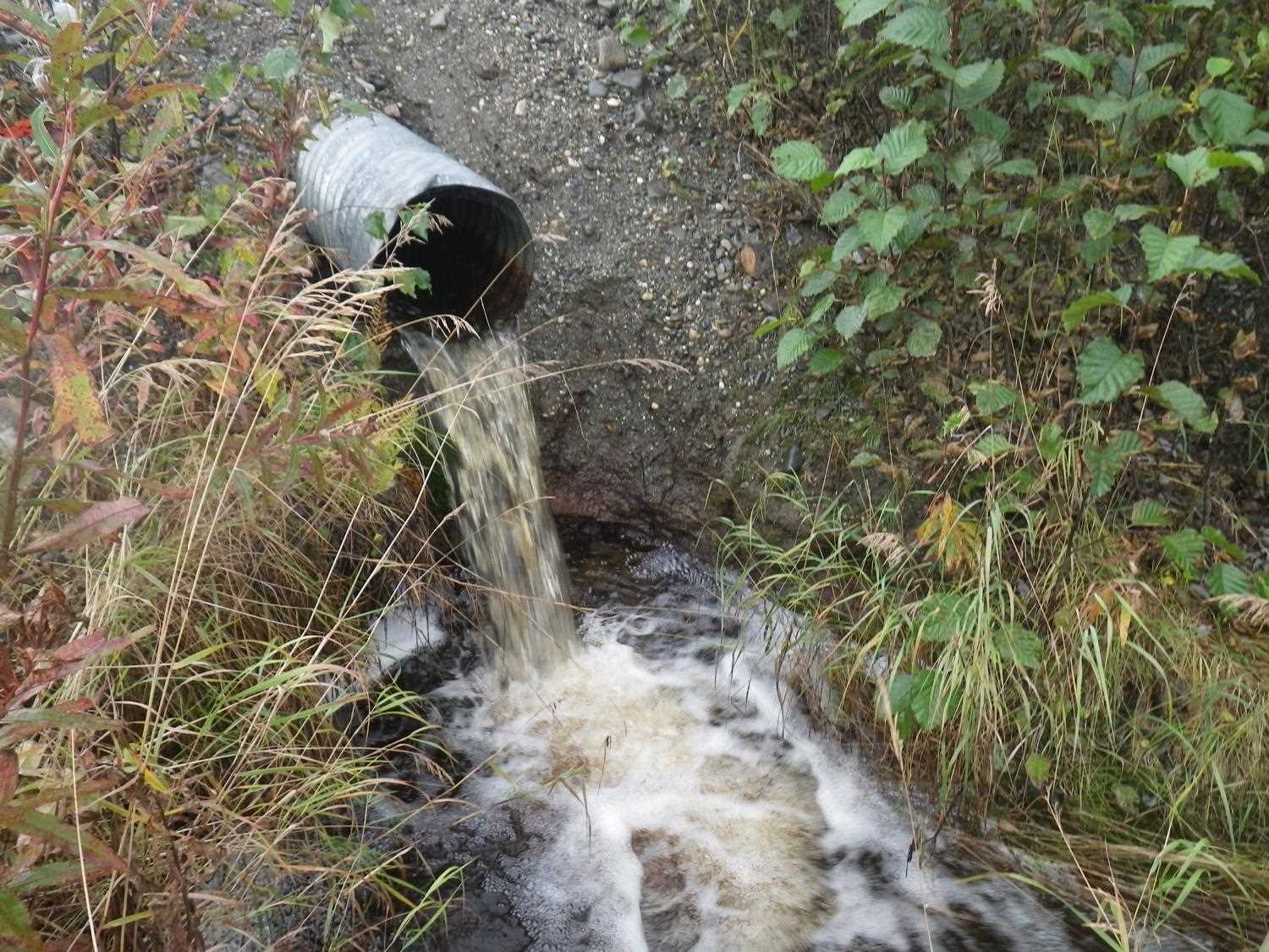
- Outfall height red
- Culvert gradient red
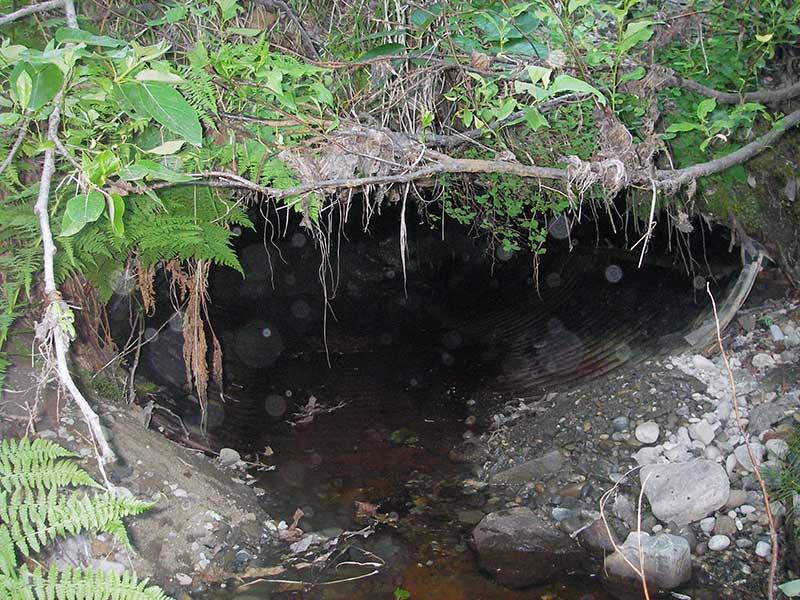
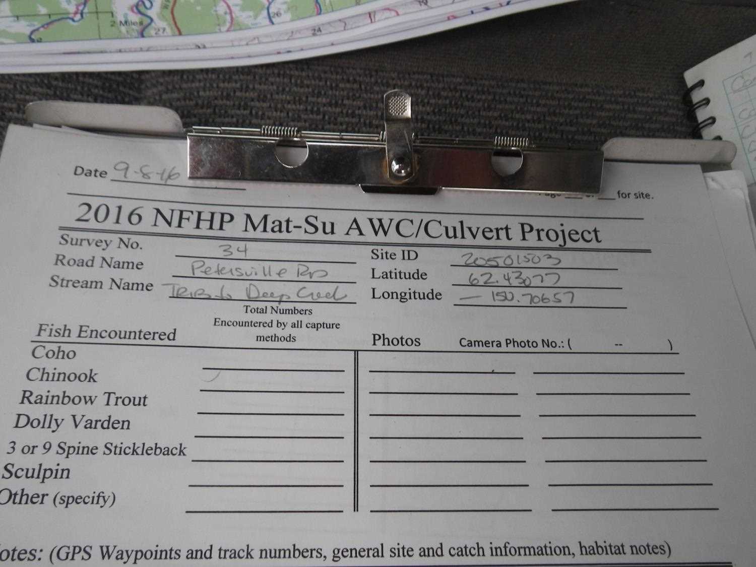
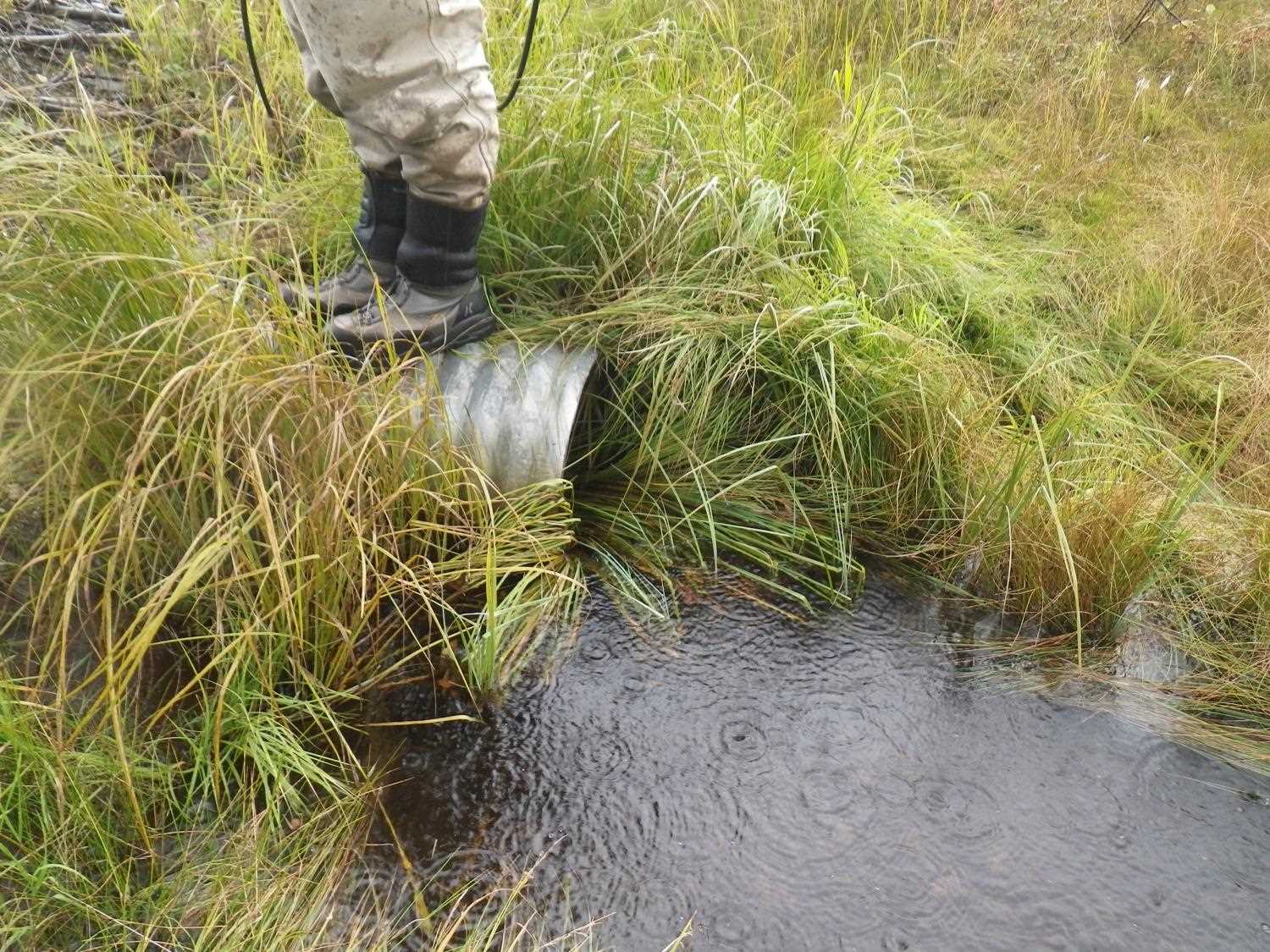
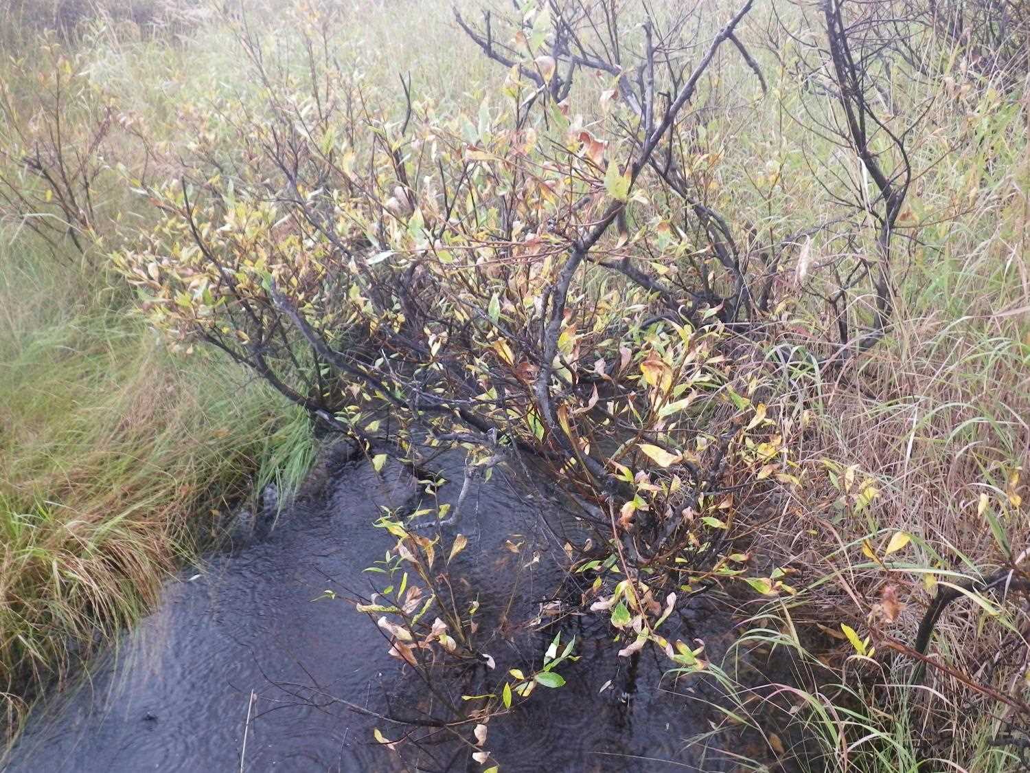
Comments: **Updated site photos and fish sampling information added from 9/8/16 site visit from Sampling Unmapped Streams in the MSB project.** Channel stops 250' u/s, drains meadow. Good but limited fish habitat. Stream dry from 110' u/s but channel well-defined, probably full of water during spring runoff.
Culvert Measurements
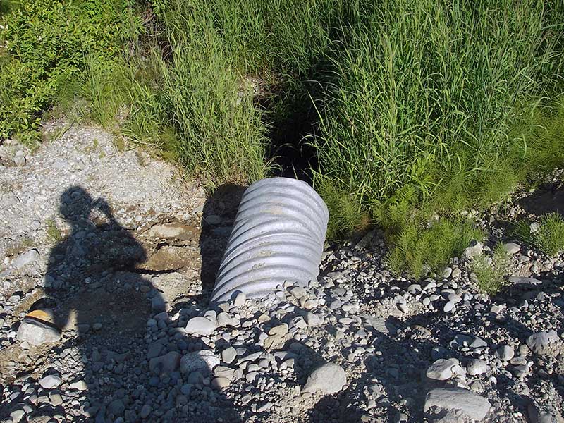
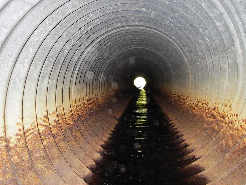
| ID: 1 | Structure Type: Circular pipe (Corrugated steel) | Fish Passage Rating: | |||||||||||||||||||||||||||||||||||||||||
|
|
|
|||||||||||||||||||||||||||||||||||||||||
Culvert Observations:
|
|||||||||||||||||||||||||||||||||||||||||||
Stream Measurements
|
|
| Stream Width Type | Distance From Crossing (ft) |
Stream Width (ft) |
|---|---|---|
| Upstream ordinary high water | 60.0 | 1.50 |
| Upstream ordinary high water | 105.0 | 1.80 |
| Upstream ordinary high water | 160.0 | 2.00 |
Elevations
| Locator ID | Culvert Number |
River Distance (ft)1 |
Distance From Crossing (ft)2 |
Relative Elevation (ft) |
|---|---|---|---|---|
| Outlet Pool Water Elev | 1 | 94.38 | ||
| U/S Headwater (Hole immed u/s) | 1 | 98.55 | ||
| D/S Grade Ctrl (Thalweg) | 1 | 0.00 | 15.0 | 93.60 |
| D/S Water Surface Elev (WS @ GP) | 1 | 0.00 | 15.0 | 93.71 |
| D/S Tailcrest or 1st Thalweg | 1 | 6.00 | 9.0 | 94.29 |
| D/S Water Surface Elev (WS @ TWC) | 1 | 6.00 | 9.0 | 94.37 |
| D/S Thalweg (bottom of pool) | 1 | 11.50 | 3.5 | 92.75 |
| D/S Thalweg | 1 | 14.00 | 1.0 | 93.92 |
| Outlet Invert | 1 | 15.00 | 0.0 | 97.39 |
| Road Elev | 1 | 35.00 | 102.53 | |
| Inlet Culvert Invert | 1 | 55.00 | 0.0 | 98.49 |
Notes:
- River distance is measured continuously throughout the survey reach along the thalweg of the stream.
- Measured from each end of the crossing along the thalweg of the stream.
Fish Sampling Efforts
No fish sampling occurred during this survey.
Fish Observations
No fish observations occurred during this survey.
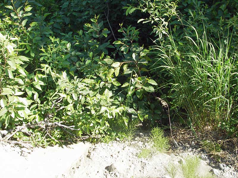
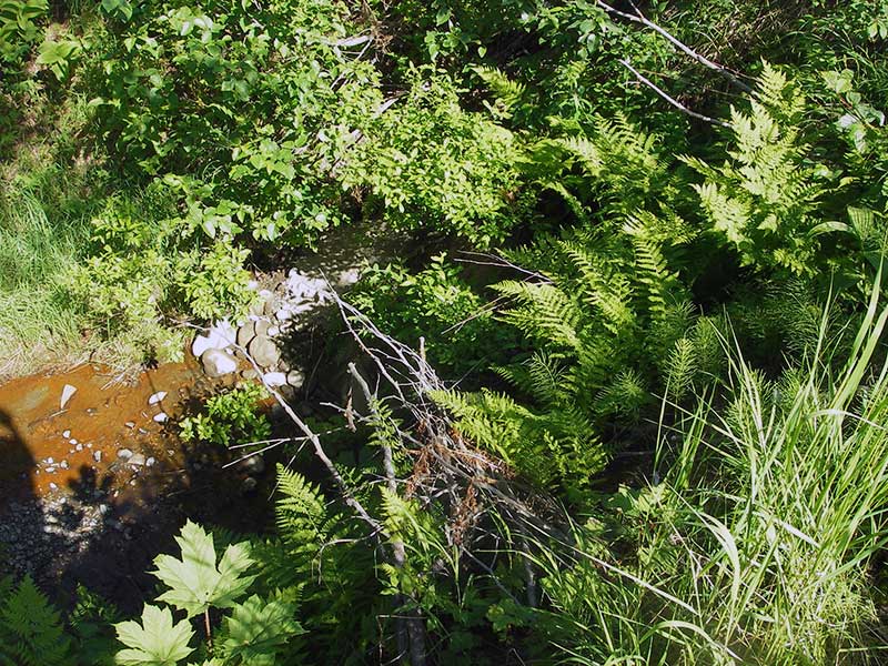
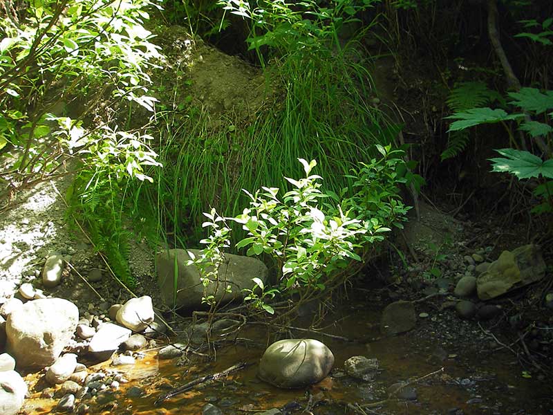
Photos
Questions or comments about this report can be directed to dfg.dsf.webmaster@alaska.gov