Fish Passage Site 20501500
Coordinates (dec. deg.): 62.48606°, -150.76567°
Legal Description: S028N008W28
Region: South Central
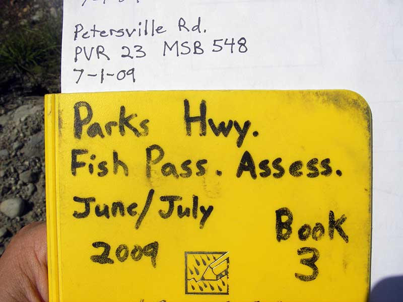
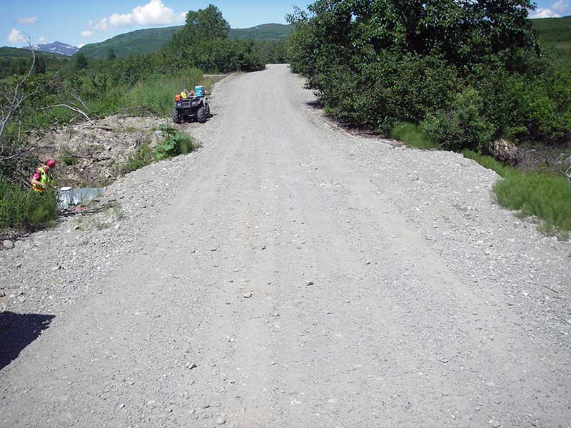
Road Name: Petersville Road
Datum: WGS84
Quad Name / ITM: Talkeetna B-2
AWC Stream #:
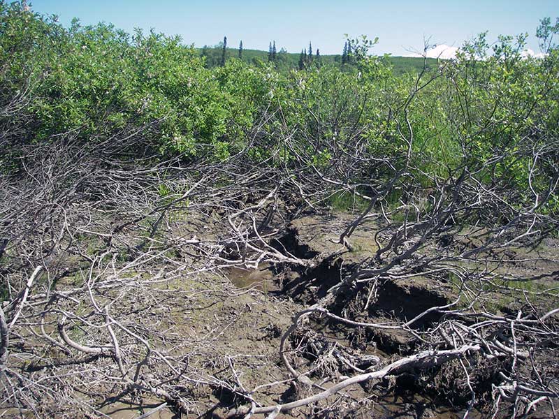
Stream Name: Peters Creek tributary
Elevation:
Site Comments: None
arrow to the right of the survey date below to choose a different report for this site.
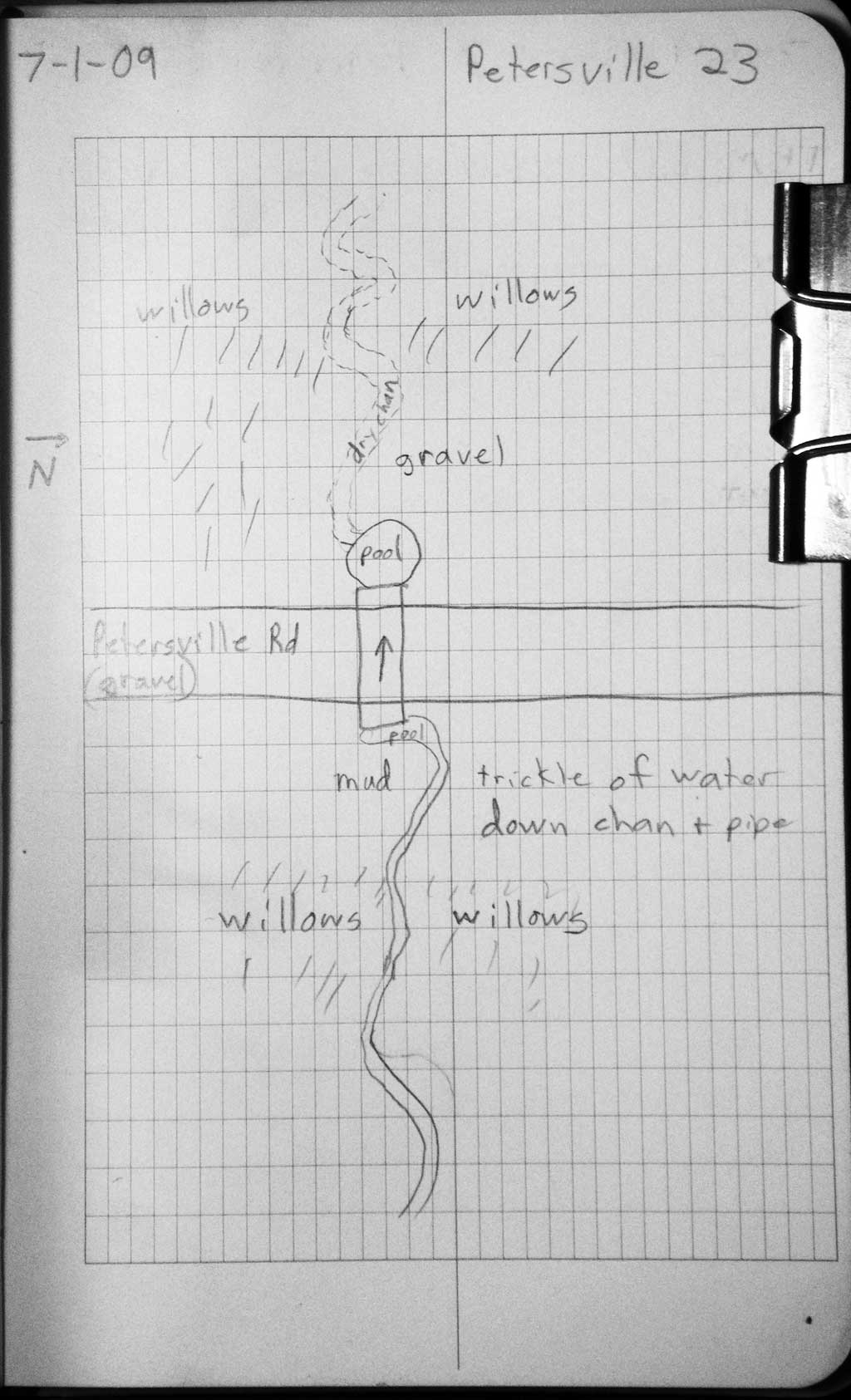
Survey PRK09-PVR23
Project Supervisor: Gillian O'Doherty, ADFG
Observers: Heidi Zimmer, Ben Histand
Overall Fish Passage Rating:
Tidal: No
Backwatered: No
Step Pools: No
Construction Year:
Site Observations:
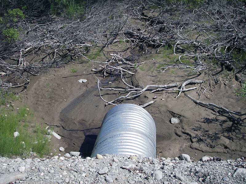
- Outfall height gray
- Constriction ratio gray
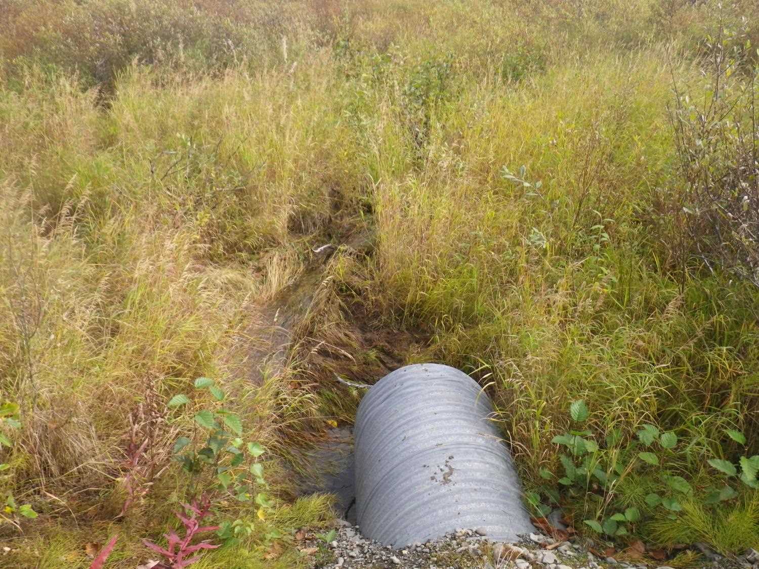
- Shallow fill; inadequate roadfill volume above culvert
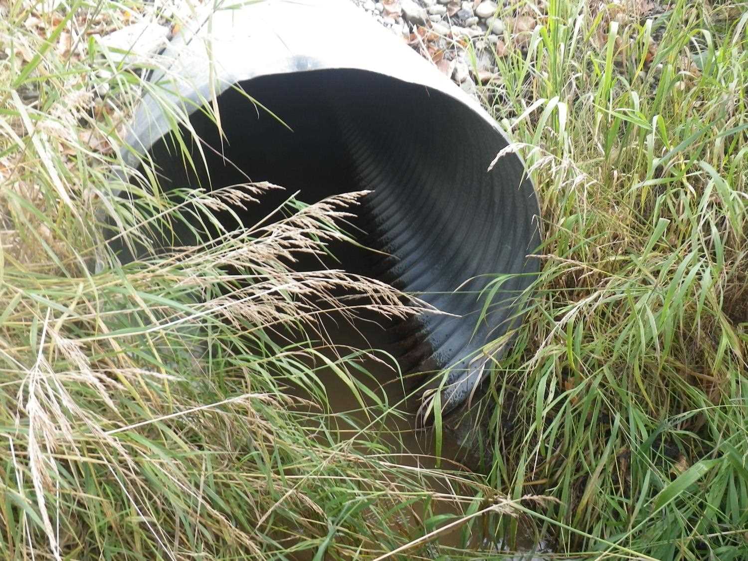
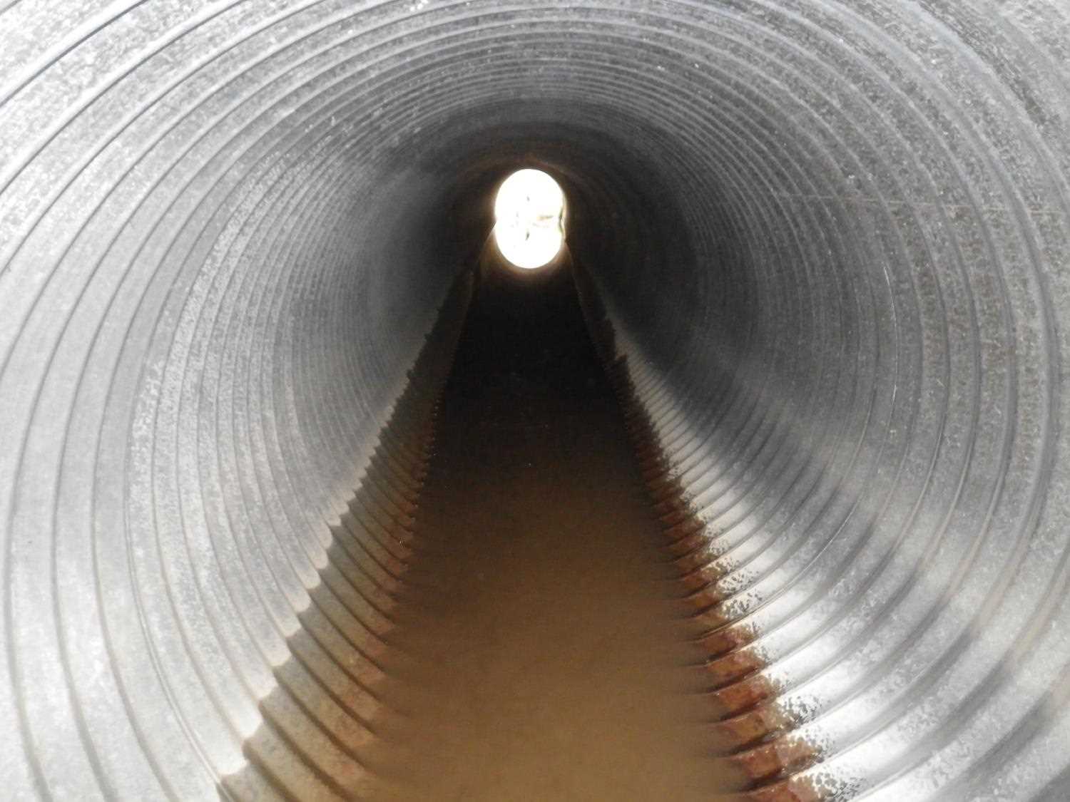
Comments: **Updated site photos and fish sampling information added from 9/8/16 site visit from Sampling Unmapped Streams in the MSB project.** Probably no OH w/ flows adequate for fish; CR very close to green; site prob not a barrier at flows adequate for fish.
Culvert Measurements
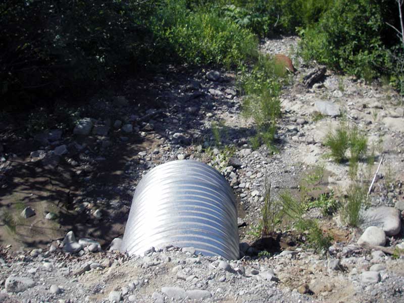
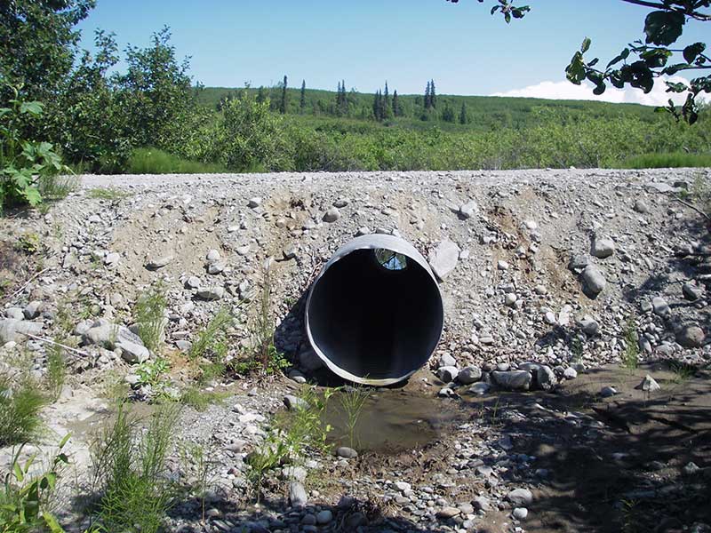
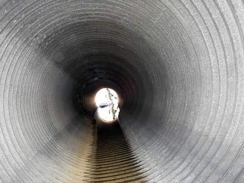
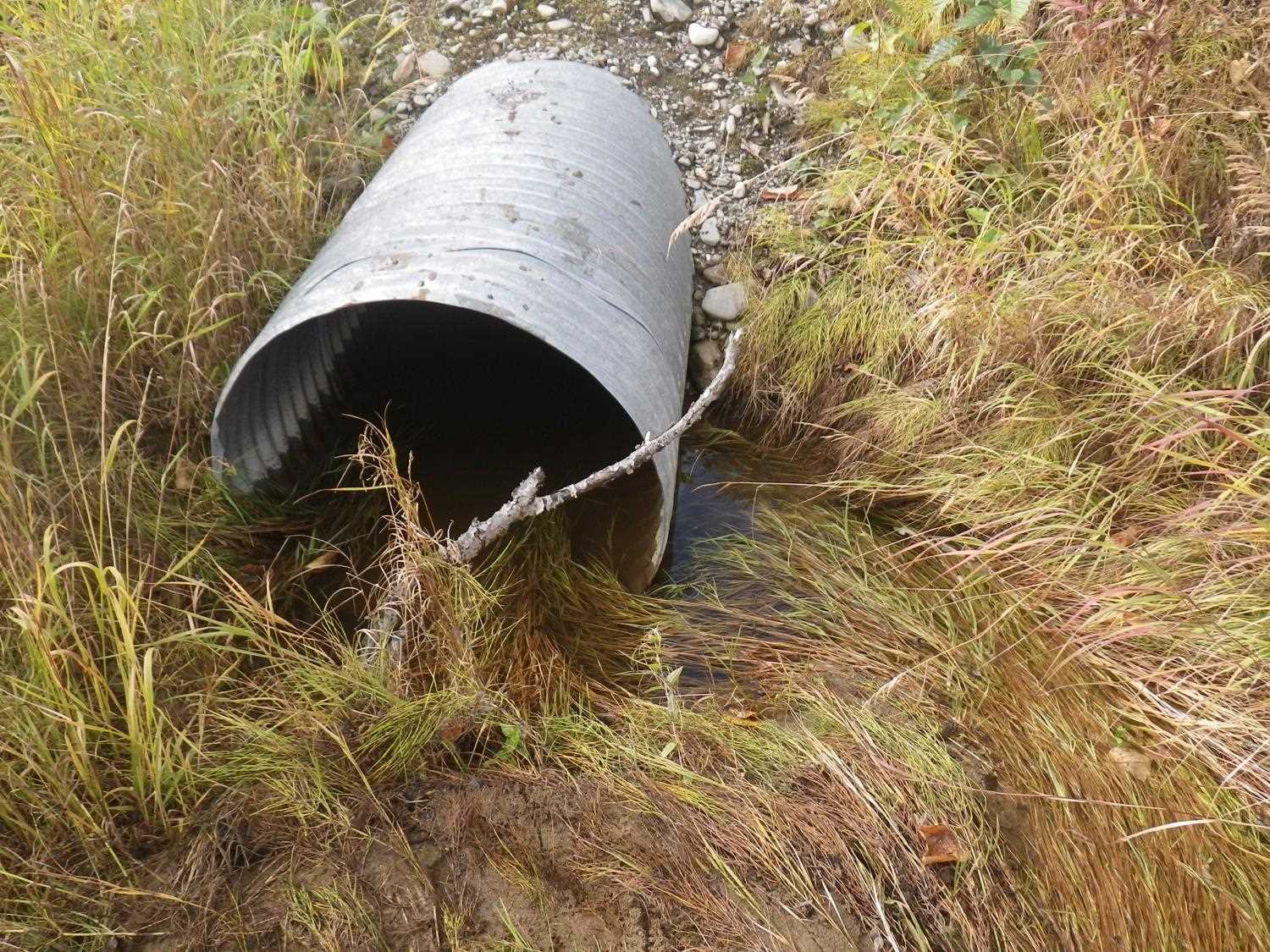
| ID: 1 | Structure Type: Circular pipe (Corrugated steel) | Fish Passage Rating: | |||||||||||||||||||||||||||||||||||||||||
|
|
|
|||||||||||||||||||||||||||||||||||||||||
Comments: Outfall height probably not an issue with adequate flow. |
|||||||||||||||||||||||||||||||||||||||||||
Culvert Observations:
|
|||||||||||||||||||||||||||||||||||||||||||
Stream Measurements
|
|
| Stream Width Type | Distance From Crossing (ft) |
Stream Width (ft) |
|---|---|---|
| Upstream ordinary high water | 36.0 | 4.00 |
| Upstream ordinary high water | 54.0 | 4.50 |
| Upstream ordinary high water | 72.0 | 3.50 |
Elevations
| Locator ID | Culvert Number |
River Distance (ft)1 |
Distance From Crossing (ft)2 |
Relative Elevation (ft) |
|---|---|---|---|---|
| Outlet Pool Water Elev | 1 | 97.54 | ||
| U/S Headwater | 1 | 97.68 | ||
| D/S Tailcrest or 1st Thalweg (no water but obvious stream chan) | 1 | 0.00 | 6.0 | 97.63 |
| D/S Thalweg (bottom of pool) | 1 | 3.70 | 2.3 | 96.74 |
| Outlet Invert | 1 | 6.00 | 0.0 | 97.67 |
| Road Elev | 1 | 25.50 | 102.17 | |
| Inlet Culvert Invert (on substrate) | 1 | 45.00 | 0.0 | 97.48 |
Notes:
- River distance is measured continuously throughout the survey reach along the thalweg of the stream.
- Measured from each end of the crossing along the thalweg of the stream.
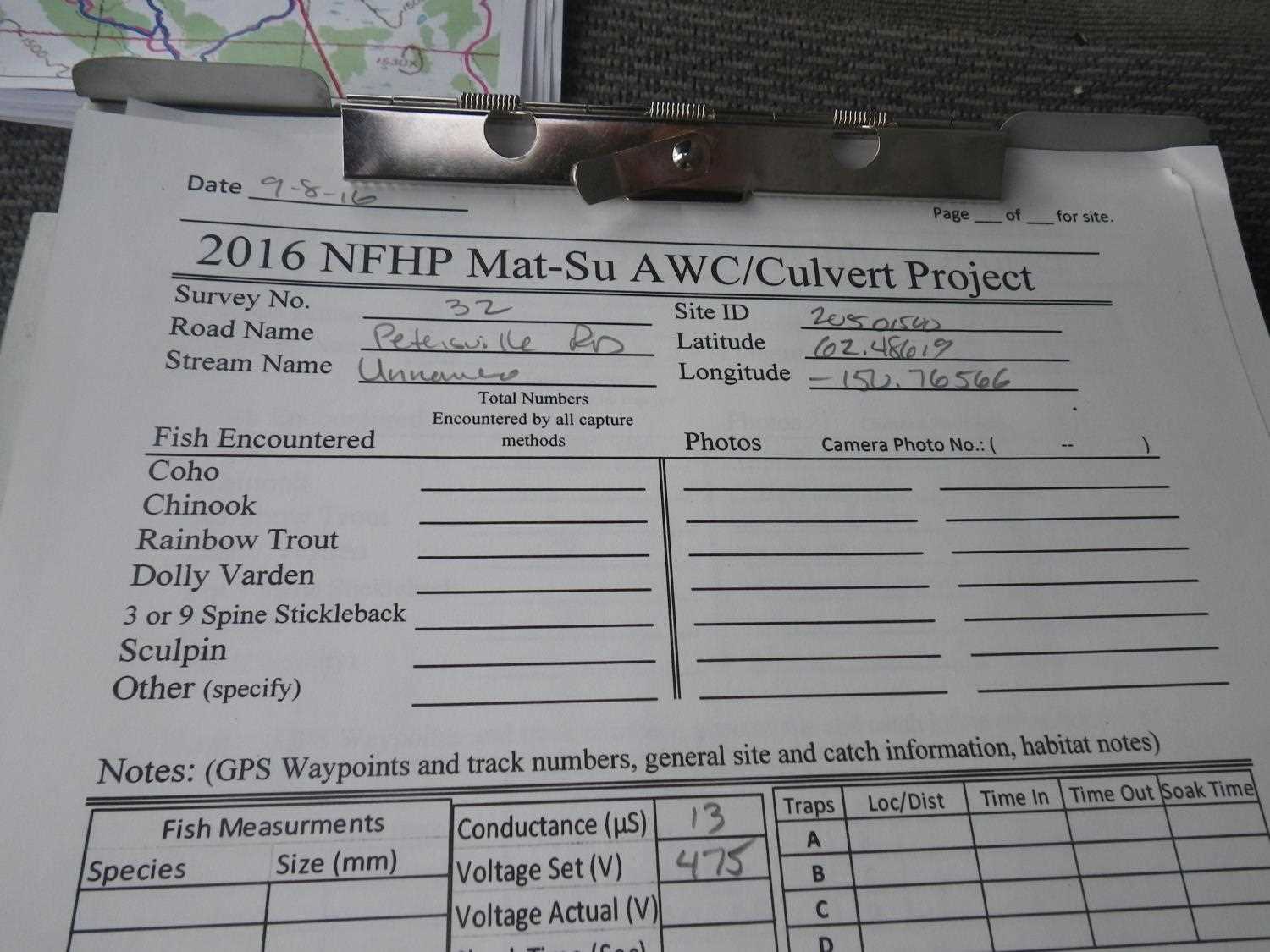
Fish Sampling Efforts
No fish sampling occurred during this survey.
Fish Observations
No fish observations occurred during this survey.
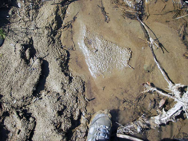
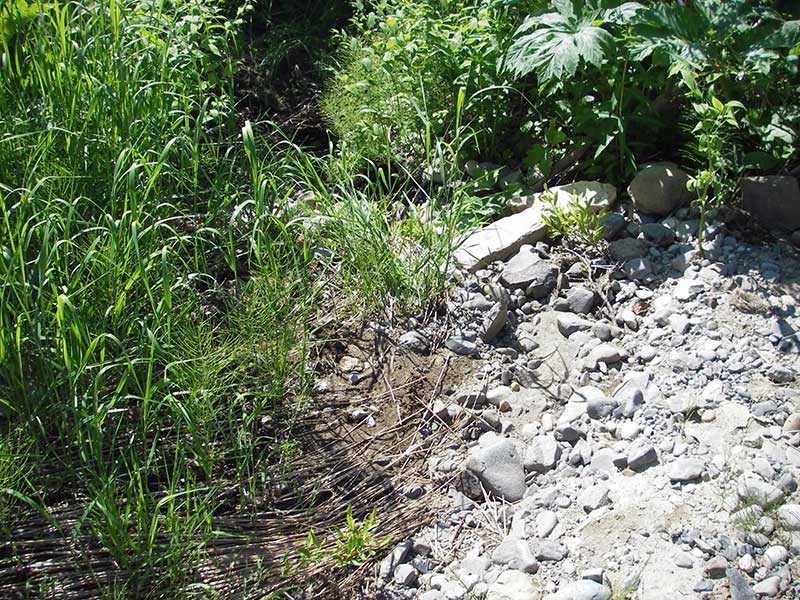
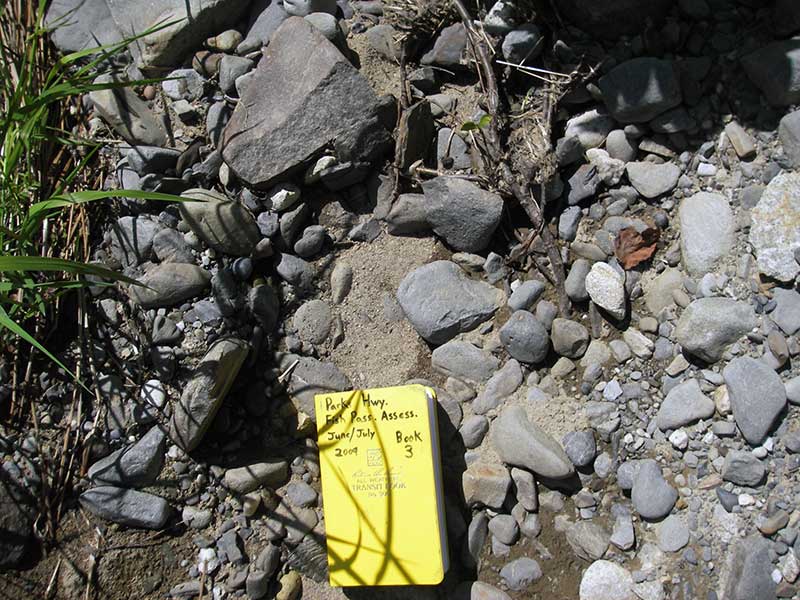
Photos

Questions or comments about this report can be directed to dfg.dsf.webmaster@alaska.gov