Fish Passage Site 20501499
Coordinates (dec. deg.): 62.49765°, -150.76802°
Legal Description: S028N008W21
Region: South Central
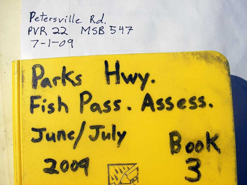
Road Name: Petersville Road
Datum: WGS84
Quad Name / ITM: Talkeetna B-2
AWC Stream #:
Stream Name: Peters Creek tributary
Elevation:
Site Comments: None
Survey PRK09-PVR22
Project Supervisor: Gillian O'Doherty, ADFG
Observers: Heidi Zimmer, Ben Histand
Overall Fish Passage Rating:
Tidal: No
Backwatered: No
Step Pools:
Construction Year:
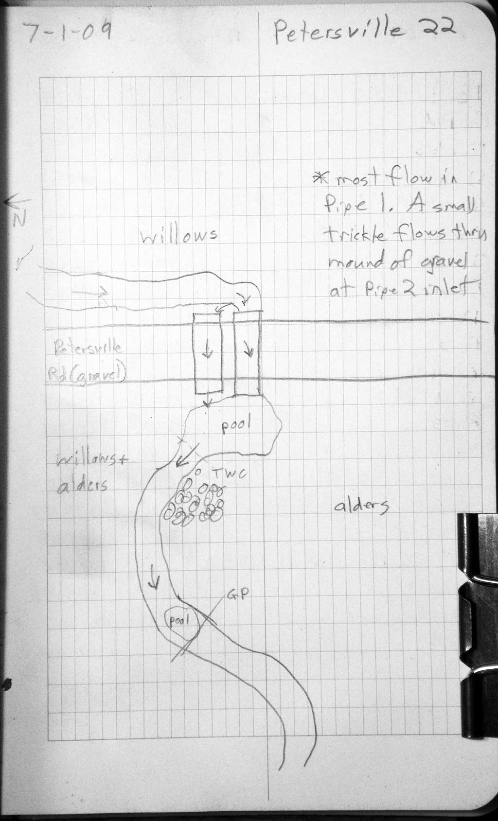
Site Observations:
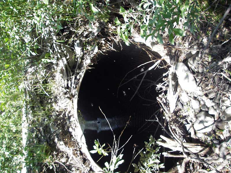
- Outfall height red
- Culvert gradient red
- Constriction ratio gray
- Shallow fill; inadequate roadfill volume above culvert
- Culvert is poorly aligned
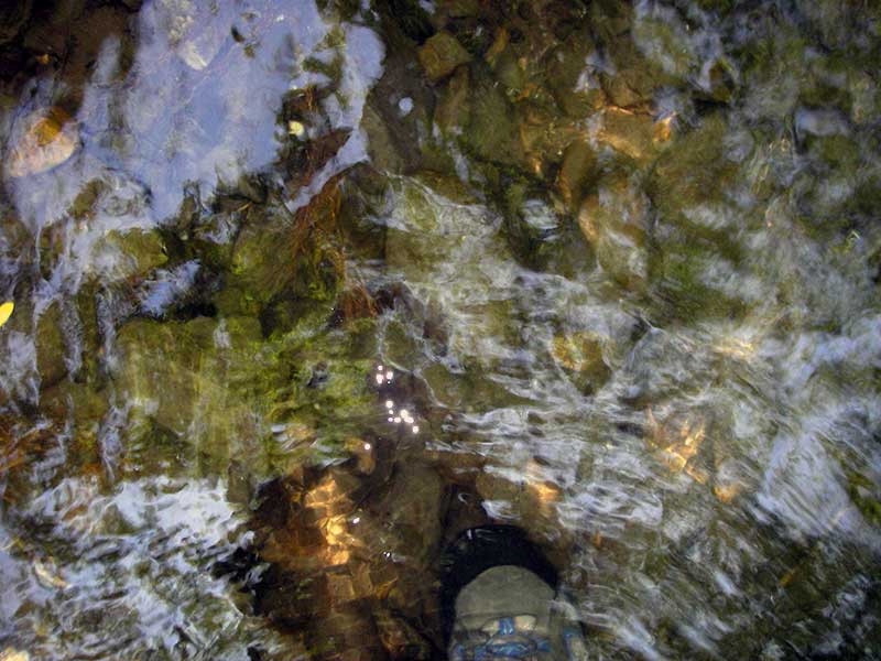
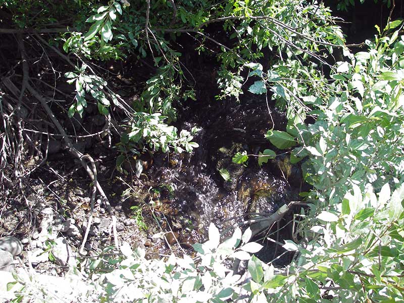
Comments: Visual observation coho fry 2-4cm u/s and d/s.
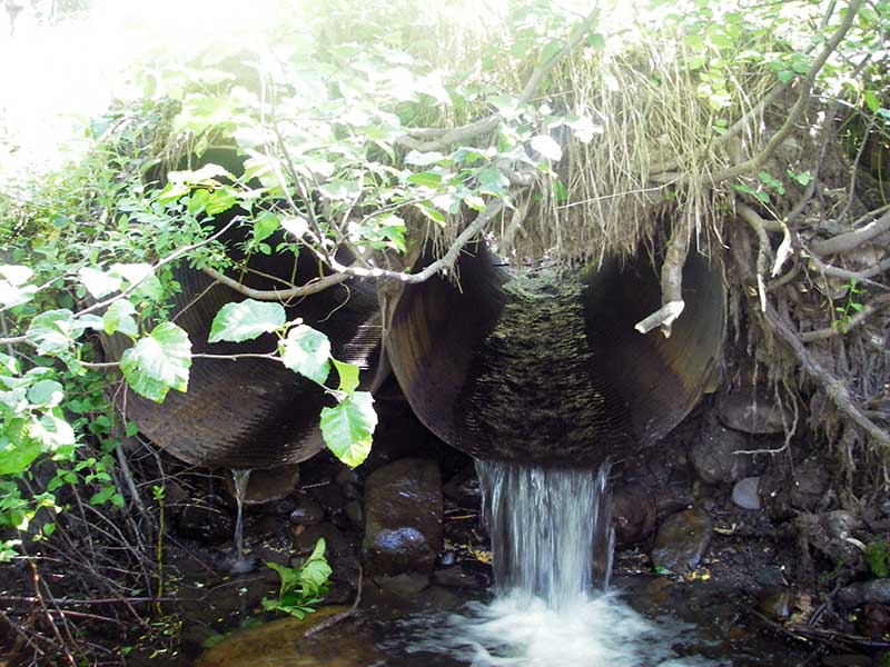
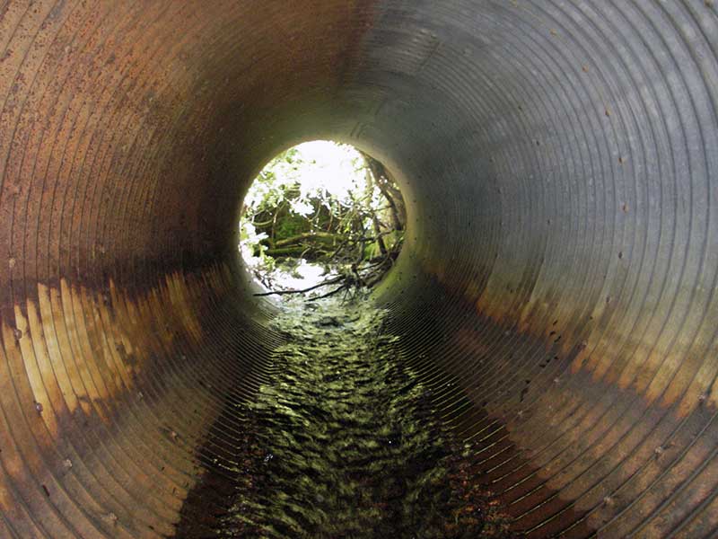
Culvert Measurements
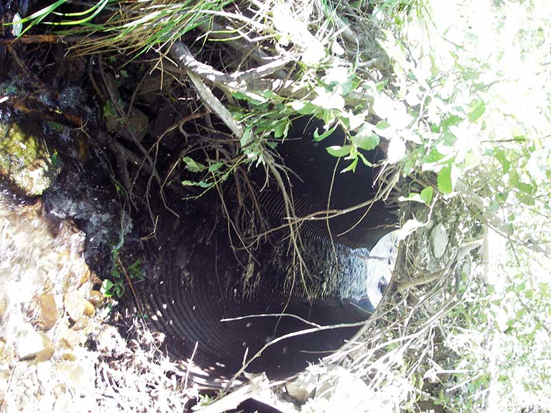
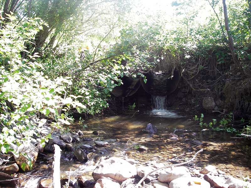
| ID: 1 | Structure Type: Circular pipe (Corrugated steel) | Fish Passage Rating: | |||||||||||||||||||||||||||||||||||||||||
|
|
|
|||||||||||||||||||||||||||||||||||||||||
Culvert Observations:
|
|||||||||||||||||||||||||||||||||||||||||||
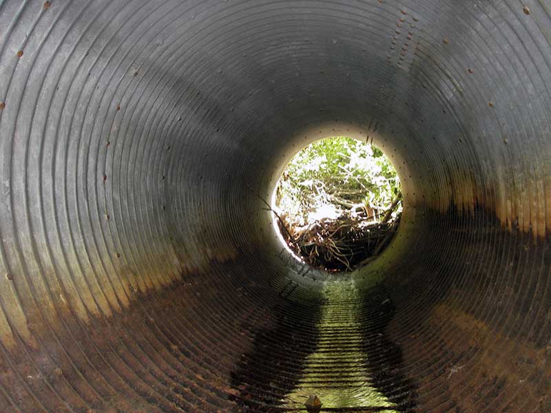
| ID: 2 | Structure Type: Circular pipe (Corrugated steel) | Fish Passage Rating: | |||||||||||||||||||||||||||||||||||||||||
|
|
|
|||||||||||||||||||||||||||||||||||||||||
Comments: Grade pipe 2 from invert in @ 1.2' inside pipe - past pile of gravel. |
|||||||||||||||||||||||||||||||||||||||||||
Culvert Observations:
|
|||||||||||||||||||||||||||||||||||||||||||
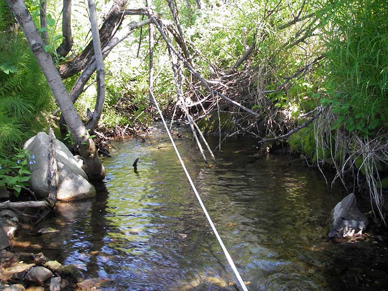
Stream Measurements
|
|
| Stream Width Type | Distance From Crossing (ft) |
Stream Width (ft) |
|---|---|---|
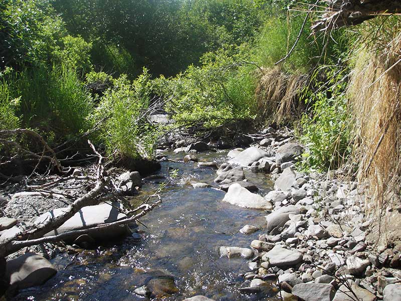
| Upstream ordinary high water | 29.0 | 9.50 |
| Upstream ordinary high water | 69.0 | 8.00 |
| Upstream ordinary high water | 140.0 | 10.00 |
Elevations
| Locator ID | Culvert Number |
River Distance (ft)1 |
Distance From Crossing (ft)2 |
Relative Elevation (ft) |
|---|---|---|---|---|
| Outlet Pool Water Elev (outlet pool for both pipes) | 99.16 | |||
| U/S Headwater (turbulent) | 101.94 | |||
| D/S Grade Ctrl (Thalweg) (GP d/s) | 0.00 | 51.0 | 96.65 | |
| D/S Water Surface Elev (WS @ GP) | 0.00 | 51.0 | 96.93 | |
| D/S Water Surface Elev (WS @ GP) | 26.00 | 25.0 | 103.74 | |
| D/S Water Surface Elev (WS @ TWC) | 37.50 | 13.5 | 99.16 | |
| D/S Tailcrest or 1st Thalweg | 37.50 | 13.5 | 98.89 | |
| D/S Thalweg (bottom of pool) | 45.50 | 5.5 | 96.28 | |
| D/S Thalweg (bottom of plunge pool) | 49.00 | 2.0 | 97.93 | |
| D/S Thalweg (pipe 2 streambed) | 2 | 51.00 | 0.0 | 99.10 |
| Outlet Invert | 2 | 51.00 | 0.0 | 100.36 |
| Outlet Invert | 1 | 51.00 | 0.0 | 100.46 |
| Road Elev | 61.00 | 106.45 | ||
| Inlet Culvert Invert (on pile of gravel @ inlet) | 2 | 71.00 | 0.0 | 102.98 |
| Inlet Culvert Invert (invert of pipe 2 @ 1.2' from inlet - past pile of gravel) | 2 | 71.00 | 0.0 | 101.57 |
| Inlet Culvert Invert | 1 | 71.00 | 0.0 | 101.67 |
| U/S Grade Ctrl (Thalweg) | 96.00 | 25.0 | 103.47 |
Notes:
- River distance is measured continuously throughout the survey reach along the thalweg of the stream.
- Measured from each end of the crossing along the thalweg of the stream.
Fish Sampling Efforts
| Gear Type: Visual Observation, Ground (A) | ||
| Comments: Visual observation of what appear to be coho fry upstream and downstream from culvert | ||
Fish Observations
No fish observations occurred during this survey.
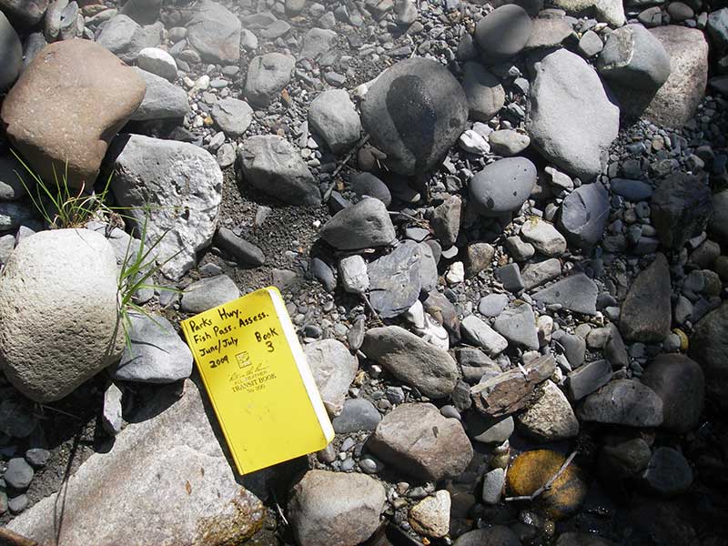
Photos

Questions or comments about this report can be directed to dfg.dsf.webmaster@alaska.gov