Fish Passage Site 20501498
Coordinates (dec. deg.): 62.53489°, -150.82375°
Legal Description: S028N008W07
Region: South Central
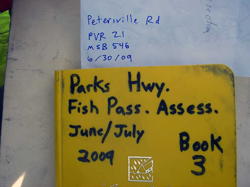
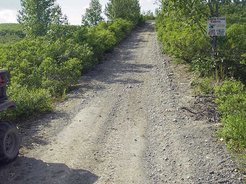
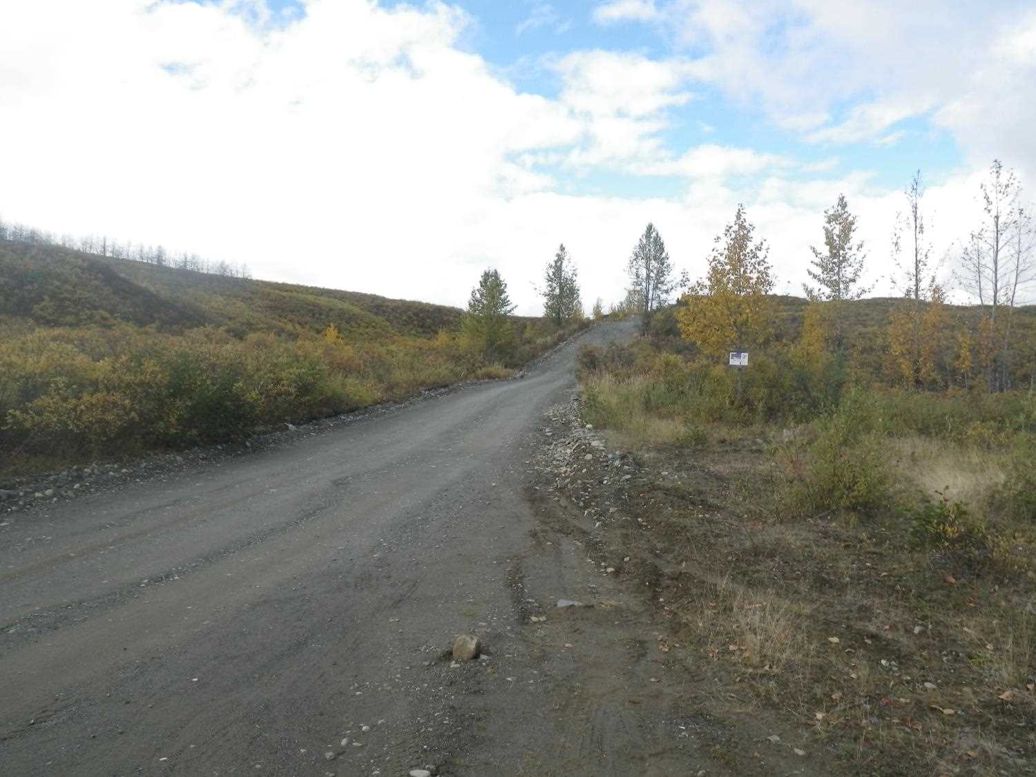
Road Name: Petersville Road
Datum: WGS84
Quad Name / ITM: Talkeetna C-2
AWC Stream #:
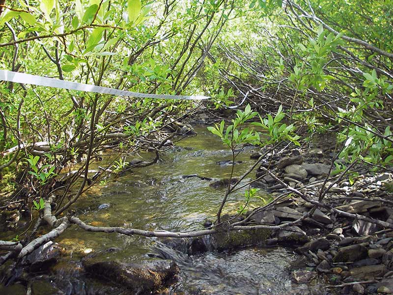
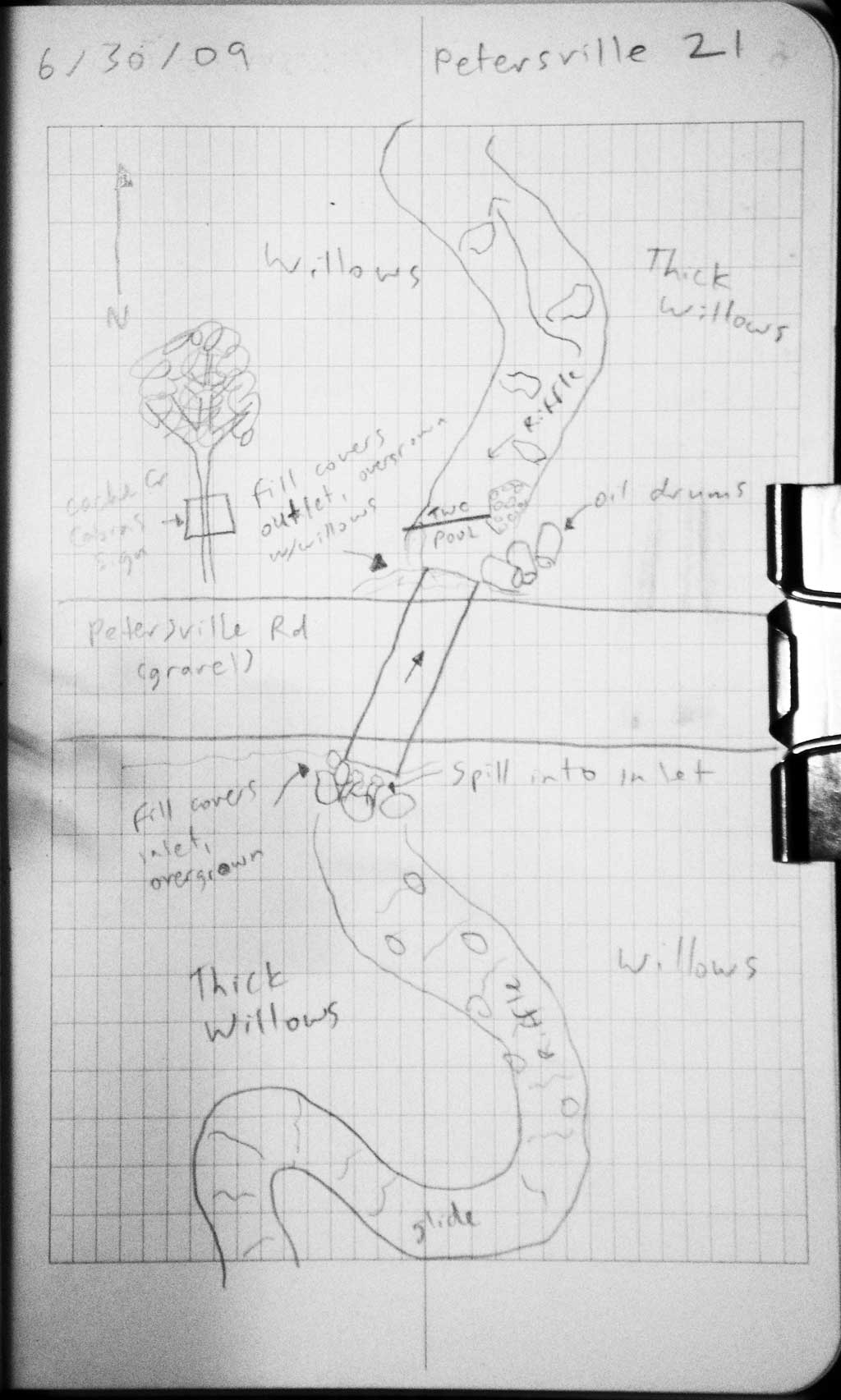
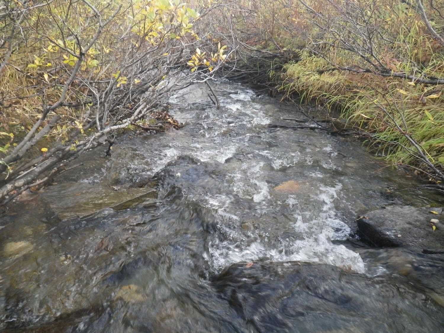
Stream Name: Peters Creek tributary
Elevation:
Site Comments: None
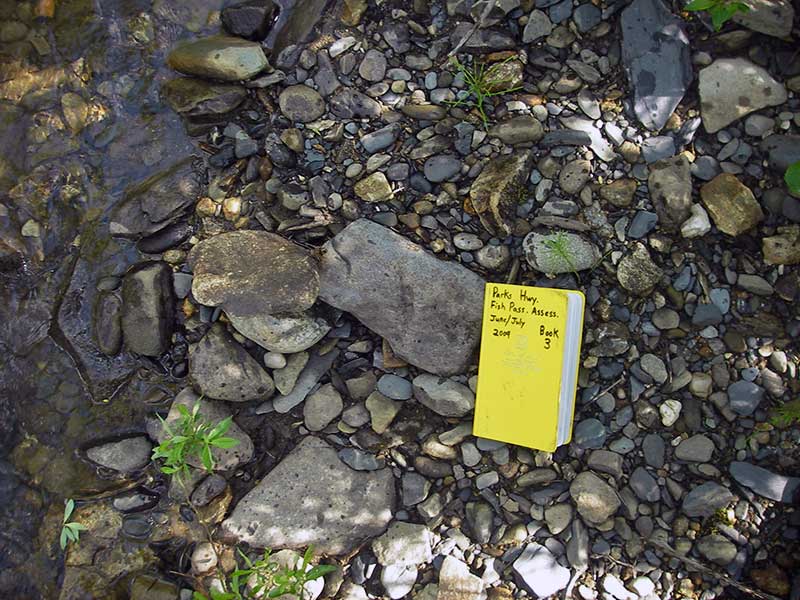
Survey PRK09-PVR21
Project Supervisor: Gillian O'Doherty, ADFG
Observers: Heidi Zimmer, Ben Histand
Overall Fish Passage Rating:
Tidal: No
Backwatered: No
Step Pools:
Construction Year:
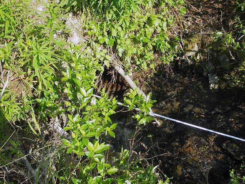
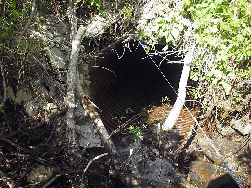
Site Observations:
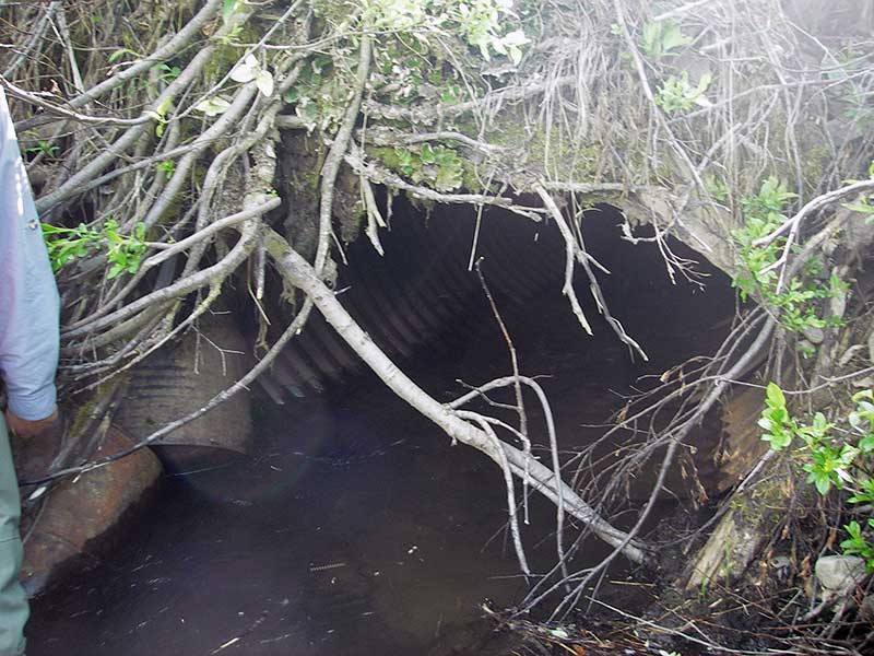
- Inlet perch
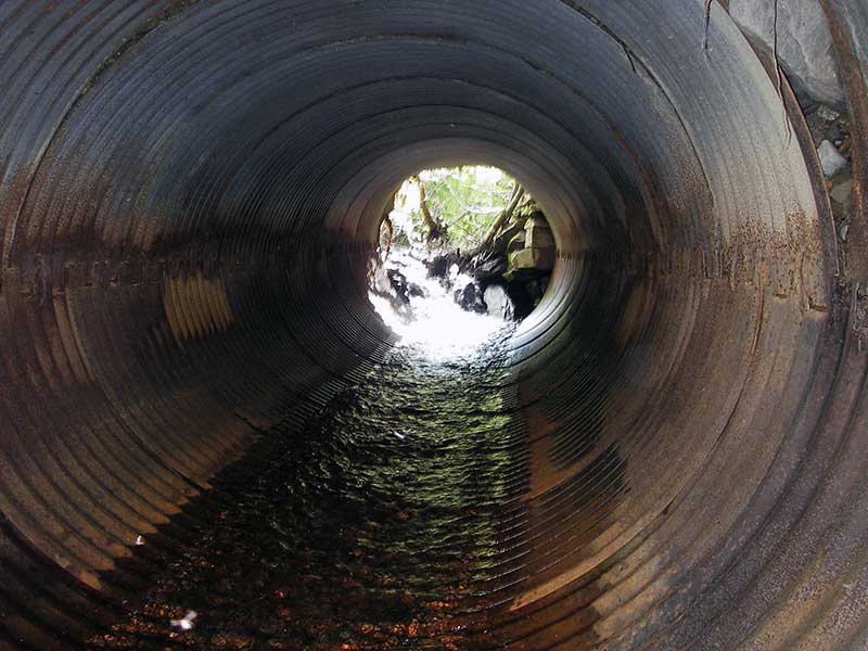
- Constriction ratio gray
- Culvert gradient red
- Compound gradient in pipe
- Mechanical damage or joints parting
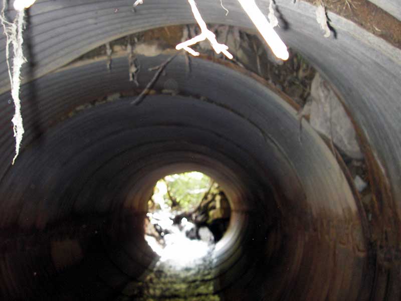
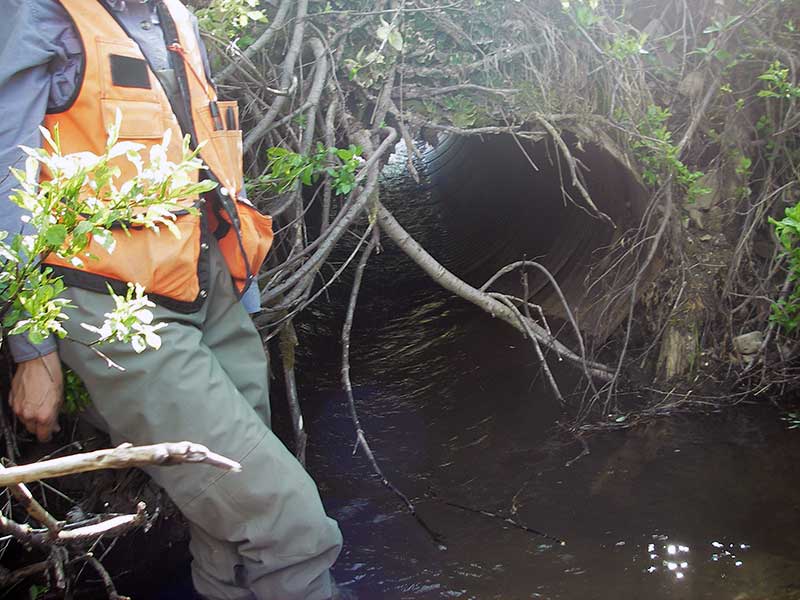
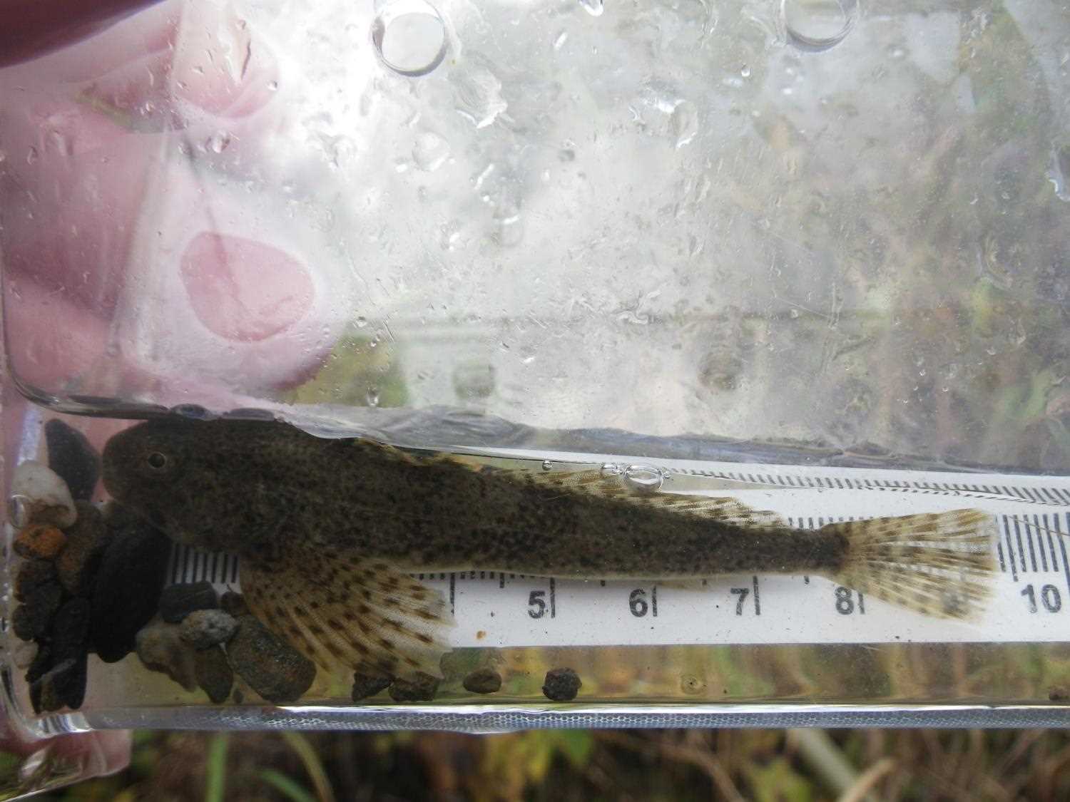
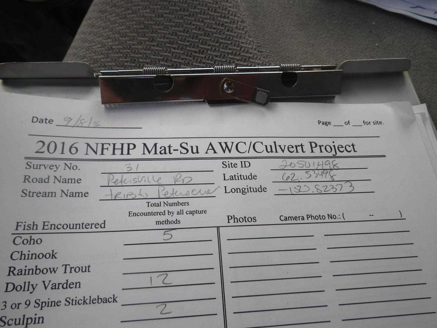
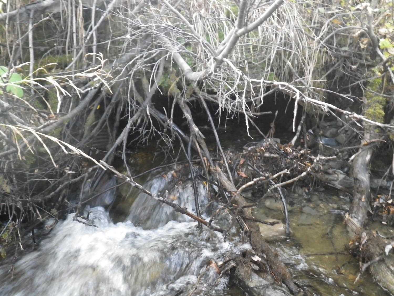
Comments: **Updated Site photos and fish sampling information added from 9/8/16 site visit from Sampling Unmapped Streams in the MSB project. Coho salmon captured up to culvert outlet, only Dolly Varden char captured upstream of crossing. Dolly Varden char also captured upstream at site 20501497. ** Pipe is 2 halves (top and bottom) fastened together w/big staples(?) Top bent down at outlet & splitting across top.
Culvert Measurements
| ID: 1 | Structure Type: Circular pipe (Corrugated steel) | Fish Passage Rating: | |||||||||||||||||||||||||||||||||||||||||
|
|
|
|||||||||||||||||||||||||||||||||||||||||
Culvert Observations:
|
|||||||||||||||||||||||||||||||||||||||||||
Stream Measurements
|
|
| Stream Width Type | Distance From Crossing (ft) |
Stream Width (ft) |
|---|---|---|
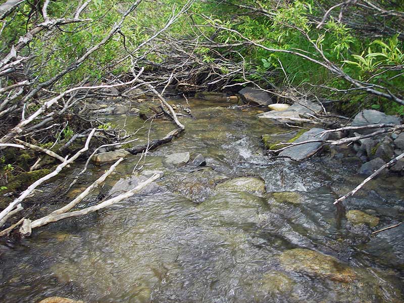
| Upstream ordinary high water | 70.0 | 6.50 |
| Upstream ordinary high water | 120.0 | 7.00 |
| Upstream ordinary high water | 155.0 | 5.00 |
Elevations
| Locator ID | Culvert Number |
River Distance (ft)1 |
Distance From Crossing (ft)2 |
Relative Elevation (ft) |
|---|---|---|---|---|
| Outlet Pool Water Elev | 1 | 99.68 | ||
| U/S Headwater | 1 | 100.58 | ||
| D/S Grade Ctrl (Thalweg) | 1 | 0.00 | 27.0 | 98.59 |
| D/S Water Surface Elev | 1 | 0.00 | 27.0 | 98.85 |
| D/S Tailcrest or 1st Thalweg | 1 | 17.00 | 10.0 | 99.32 |
| D/S Water Surface Elev (WS @ TWC) | 1 | 17.00 | 10.0 | 99.68 |
| D/S Water Surface Elev | 1 | 18.00 | 9.0 | 102.27 |
| D/S Thalweg (bottom of out pool) | 1 | 23.00 | 4.0 | 98.36 |
| D/S Thalweg (stream bed @ end of pipe (invert inaccessible due to fill)) | 1 | 25.00 | 2.0 | 98.37 |
| Road Elev | 1 | 38.50 | 106.68 | |
| Inlet Culvert Invert | 1 | 50.00 | 0.0 | 100.21 |
| U/S Thalweg (bottom of inlet perch) | 1 | 51.50 | 1.5 | 100.34 |
| U/S Thalweg (top of inlet perch) | 1 | 52.50 | 2.5 | 101.37 |
| U/S Grade Ctrl (Thalweg) | 1 | 59.00 | 9.0 | 102.17 |
Notes:
- River distance is measured continuously throughout the survey reach along the thalweg of the stream.
- Measured from each end of the crossing along the thalweg of the stream.
Fish Sampling Efforts
| Gear Type: Minnow Trap (A) | Trap Duration(h): 1.25 | |
| Comments: 150ft u/s | ||
| Gear Type: Minnow Trap (B) | Trap Duration(h): 1.25 | |
| Comments: no fish caught; 120ft d/s | ||
Fish Observations
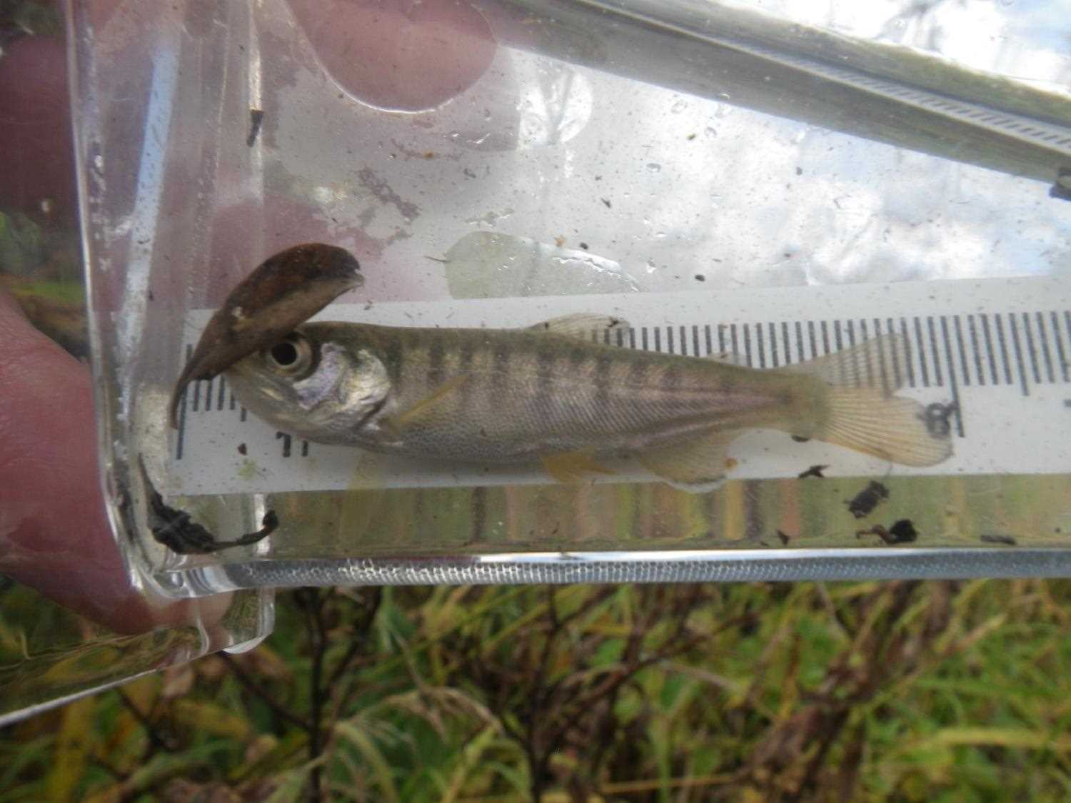
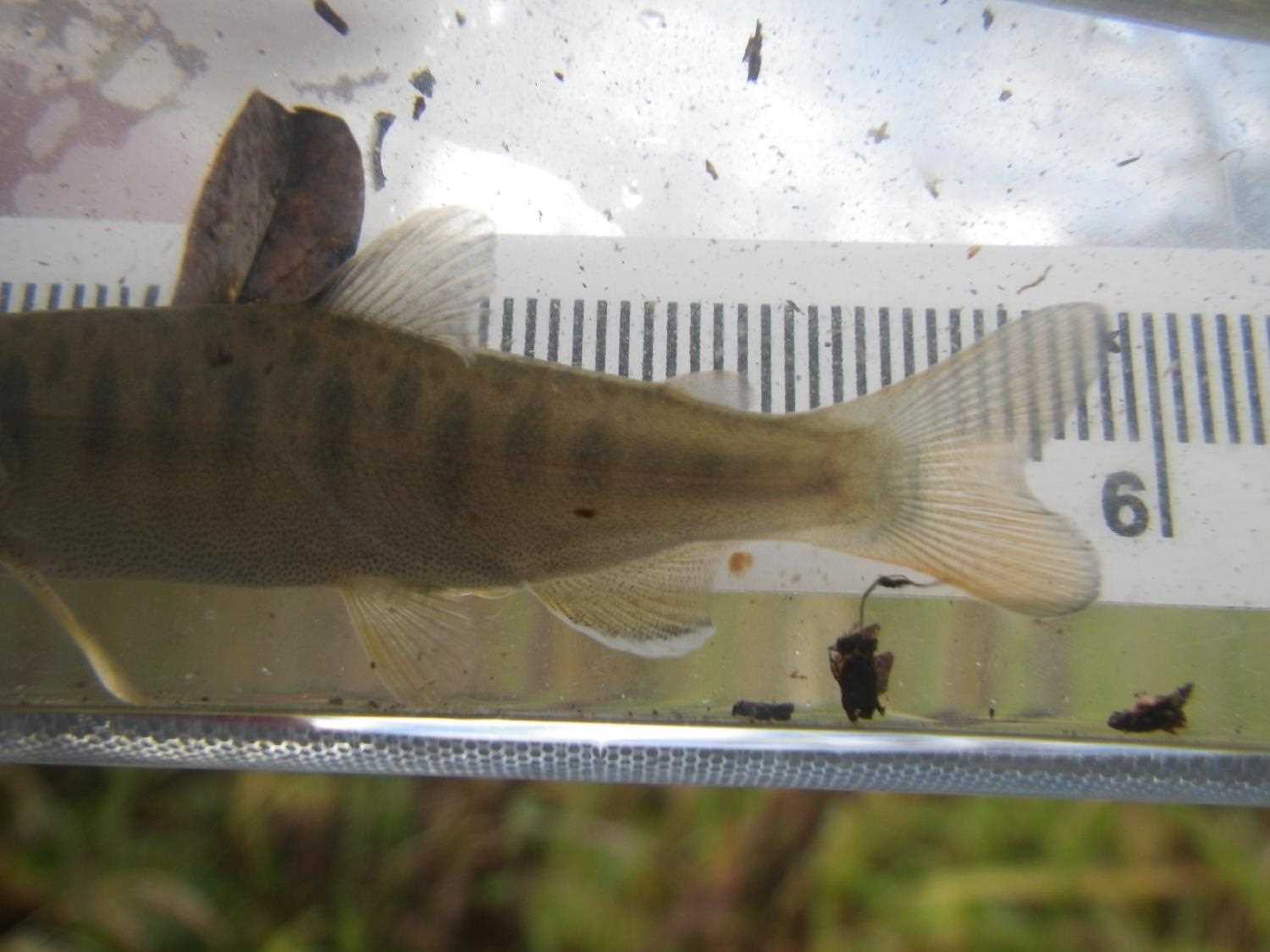
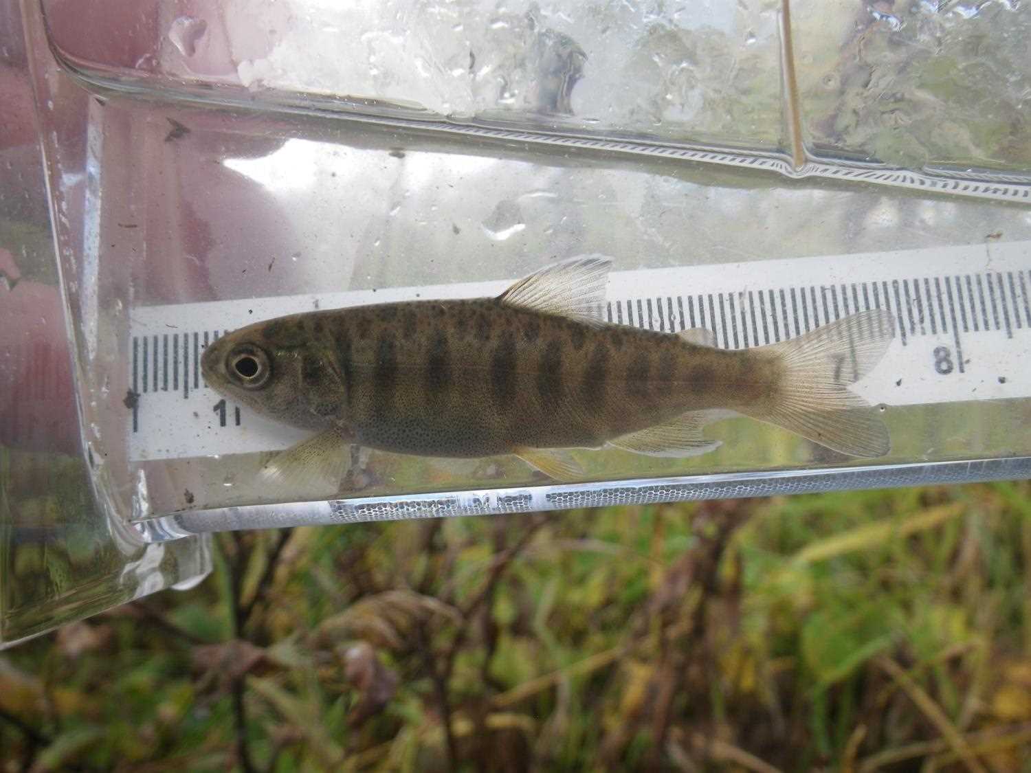
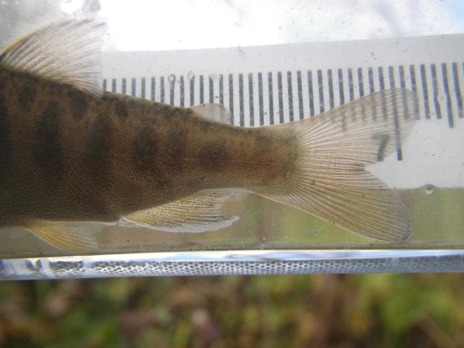
| Species: juvenile/adult Dolly Varden | Life History: Unknown | ||
| Total Fish Observed: 1 | Fish Measured: 1 | Fork Lengths (mm) Min: 55 Max: 55 Mean: 55 | |
| Collected/Observed by Gear Type: Downstream Minnow Trap (1) | |||
Photos
Questions or comments about this report can be directed to dfg.dsf.webmaster@alaska.gov