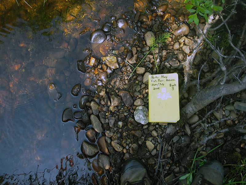
Fish Passage Site 20501497
Coordinates (dec. deg.): 62.53714°, -150.84134°
Legal Description: S028N008W07
Region: South Central
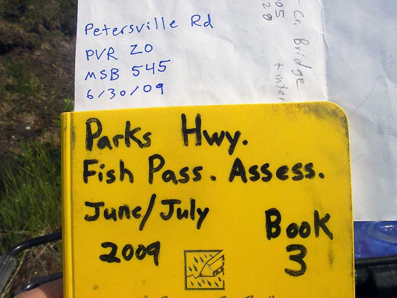
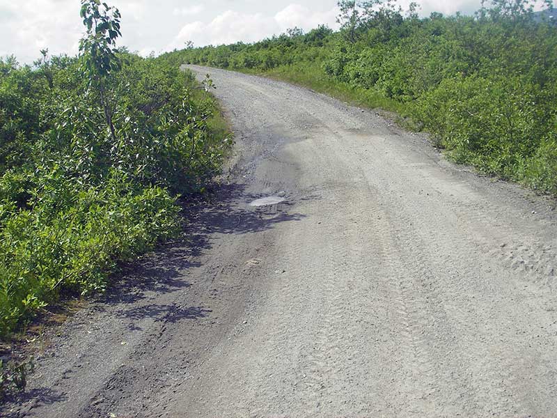
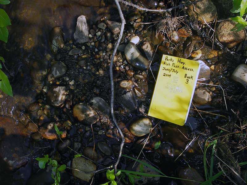
Road Name: Petersville Road
Datum: WGS84
Quad Name / ITM: Talkeetna C-2
AWC Stream #:
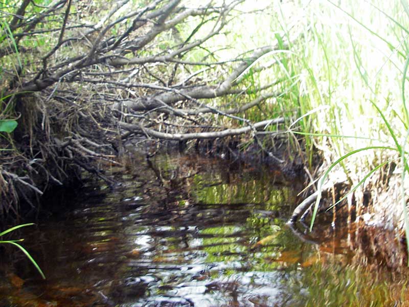
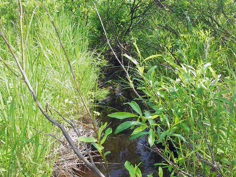
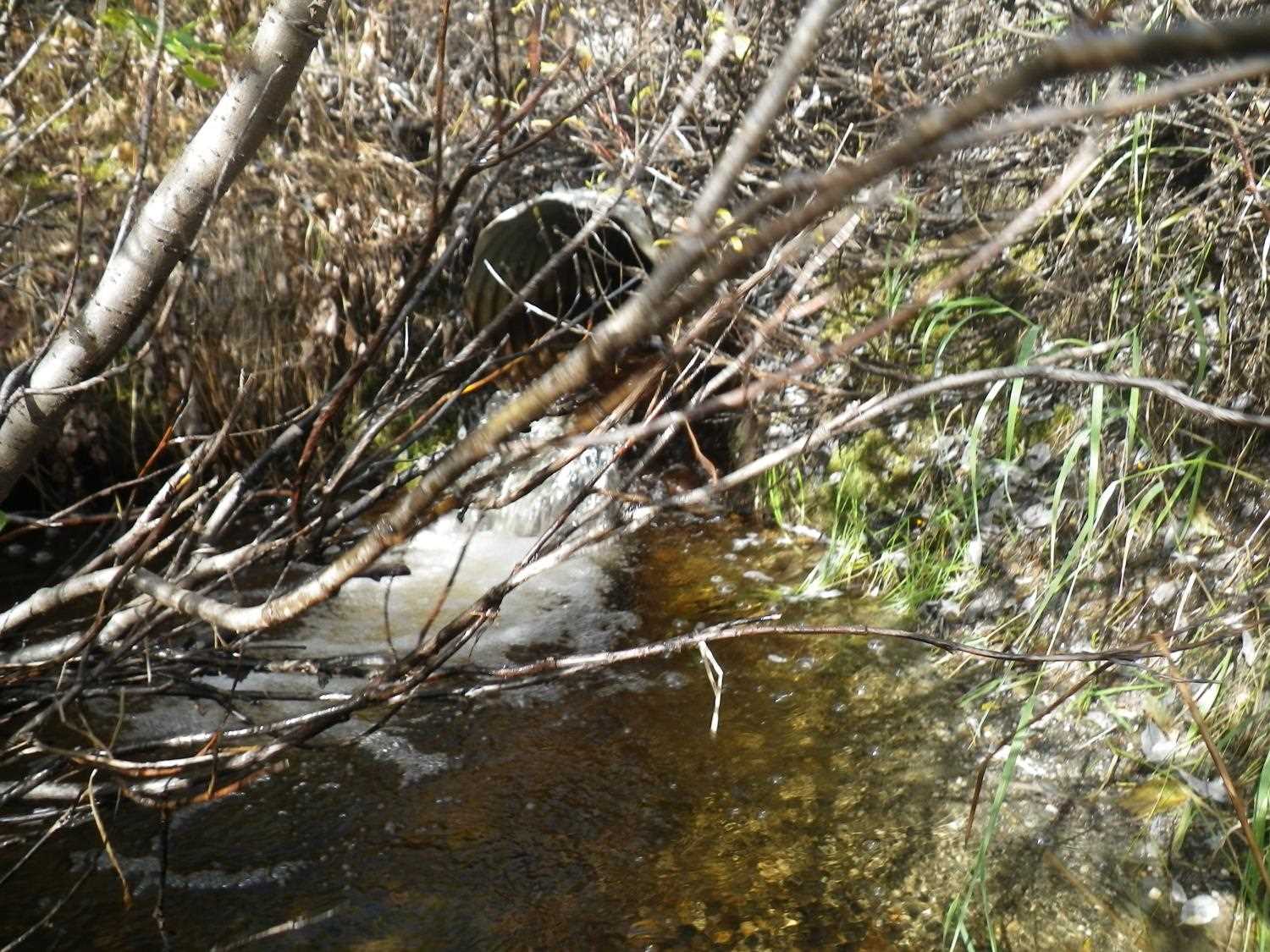
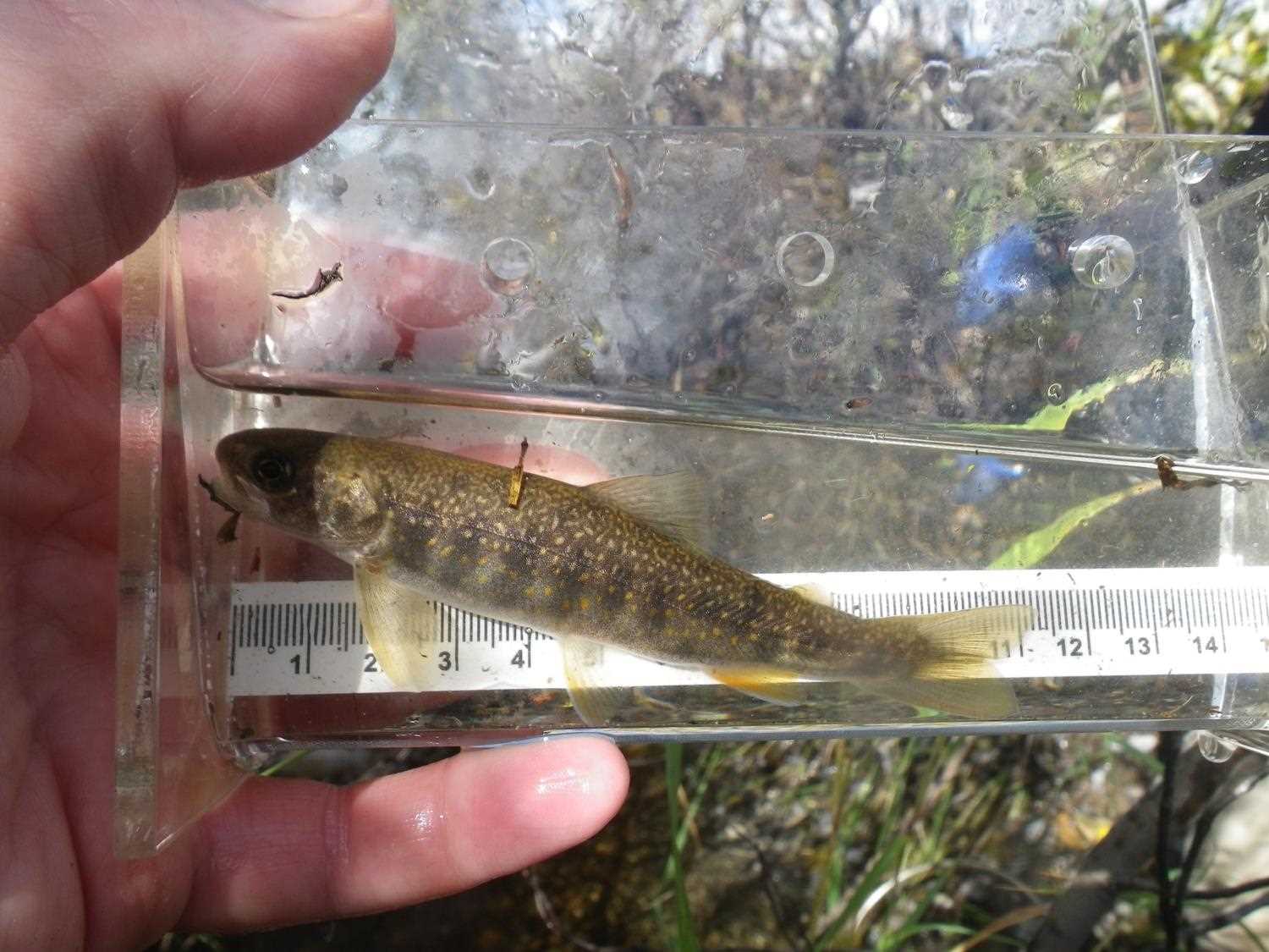
Stream Name: Peters Creek tributary
Elevation:
Site Comments: None
Survey PRK09-PVR20
Project Supervisor: Gillian O'Doherty, ADFG
Observers: Heidi Zimmer, Ben Histand
Overall Fish Passage Rating:
Tidal: No
Backwatered: No
Step Pools:
Construction Year:
Site Observations:
- Outfall height red
- Constriction ratio red
- Culvert gradient red
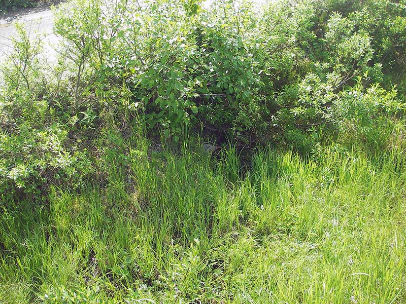
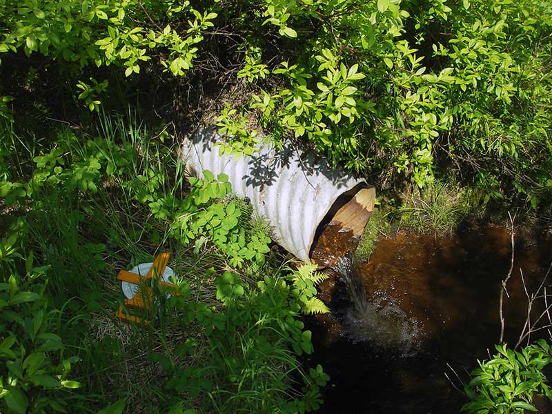
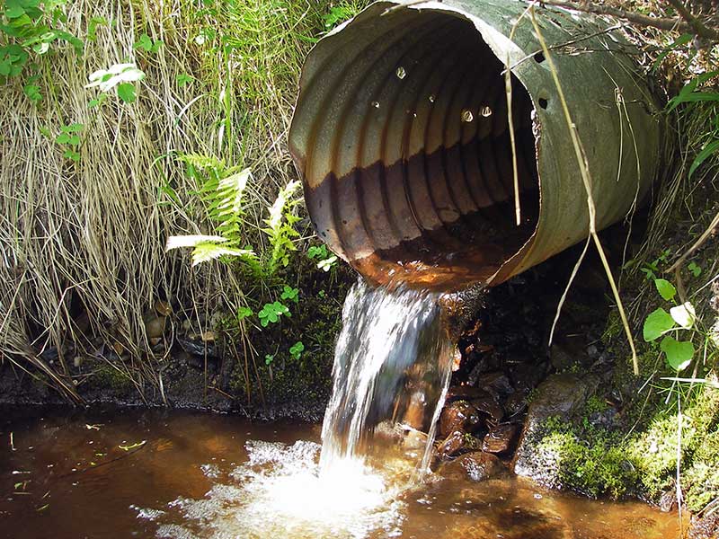
Comments: ***Updated site photos from 9/8/16 site visit from Sampling Unmapped Streams in the MSB project. Fish sampling information entered into AFFI *** Sixty feet upstream is a 1' steep cascade/waterfall into large pool - probably a natural barrier.
Culvert Measurements
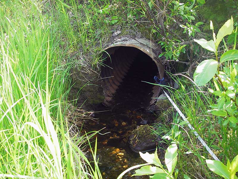
| ID: 1 | Structure Type: Circular pipe (Corrugated steel) | Fish Passage Rating: | |||||||||||||||||||||||||||||||||||||||||
|
|
|
|||||||||||||||||||||||||||||||||||||||||
Culvert Observations:
|
|||||||||||||||||||||||||||||||||||||||||||
Stream Measurements
|
|
| Stream Width Type | Distance From Crossing (ft) |
Stream Width (ft) |
|---|---|---|
| Upstream ordinary high water | 30.0 | 2.50 |
| Upstream ordinary high water | 80.0 | 3.00 |
| Upstream ordinary high water | 135.0 | 2.00 |
Elevations
| Locator ID | Culvert Number |
River Distance (ft)1 |
Distance From Crossing (ft)2 |
Relative Elevation (ft) |
|---|---|---|---|---|
| Outlet Pool Water Elev | 1 | 97.53 | ||
| U/S Headwater | 1 | 99.62 | ||
| D/S Grade Ctrl (Thalweg) | 1 | 0.00 | 26.0 | 96.29 |
| D/S Water Surface Elev (ws @ GP) | 1 | 0.00 | 26.0 | 96.45 |
| D/S Water Surface Elev (WS @ GP) | 1 | 19.00 | 7.0 | 99.72 |
| D/S Water Surface Elev (ws @ TWC) | 1 | 19.50 | 6.5 | 97.52 |
| D/S Tailcrest or 1st Thalweg | 1 | 19.50 | 6.5 | 97.35 |
| D/S Thalweg (bottom of out pool) | 1 | 24.30 | 1.7 | 96.54 |
| D/S Thalweg (stream bed @ end of pipe) | 1 | 26.00 | 0.0 | 97.44 |
| Outlet Invert | 1 | 26.00 | 0.0 | 98.43 |
| Road Elev | 1 | 41.00 | 104.03 | |
| Inlet Culvert Invert | 1 | 56.00 | 0.0 | 99.47 |
| U/S Grade Ctrl (Thalweg) (1st GP u/s) | 1 | 63.00 | 7.0 | 99.60 |
Notes:
- River distance is measured continuously throughout the survey reach along the thalweg of the stream.
- Measured from each end of the crossing along the thalweg of the stream.
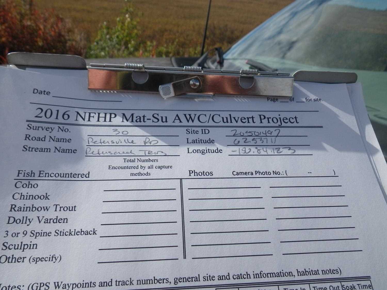
Fish Sampling Efforts
No fish sampling occurred during this survey.
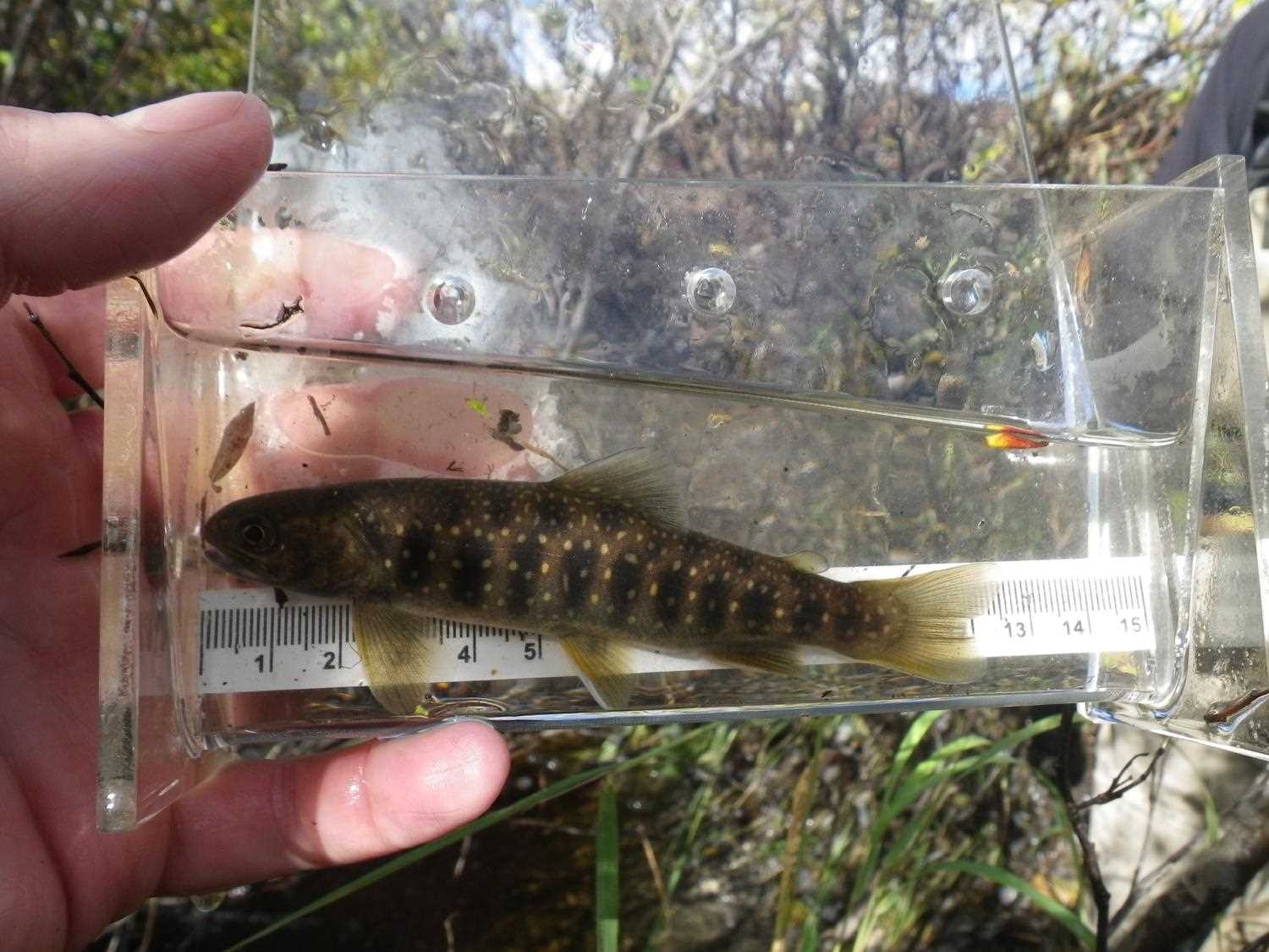
Fish Observations
| Species: juvenile Dolly Varden | Life History: Unknown | ||
| Total Fish Observed: 1 | Fish Measured: | Fork Lengths (mm) Min: Max: Mean: | |
| Collected/Observed by Gear Type: | |||
Photos


Questions or comments about this report can be directed to dfg.dsf.webmaster@alaska.gov