Fish Passage Site 20501496
Coordinates (dec. deg.): 62.53283°, -150.48818°
Legal Description: S028N009W12
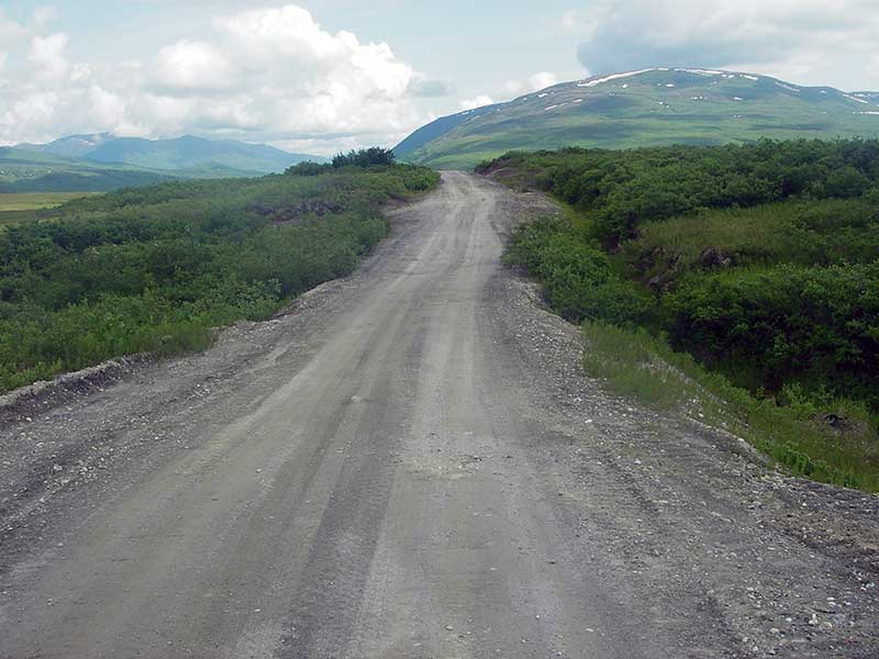
Region: South Central
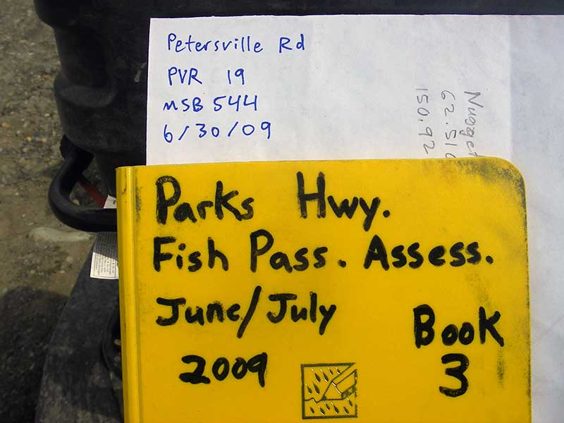
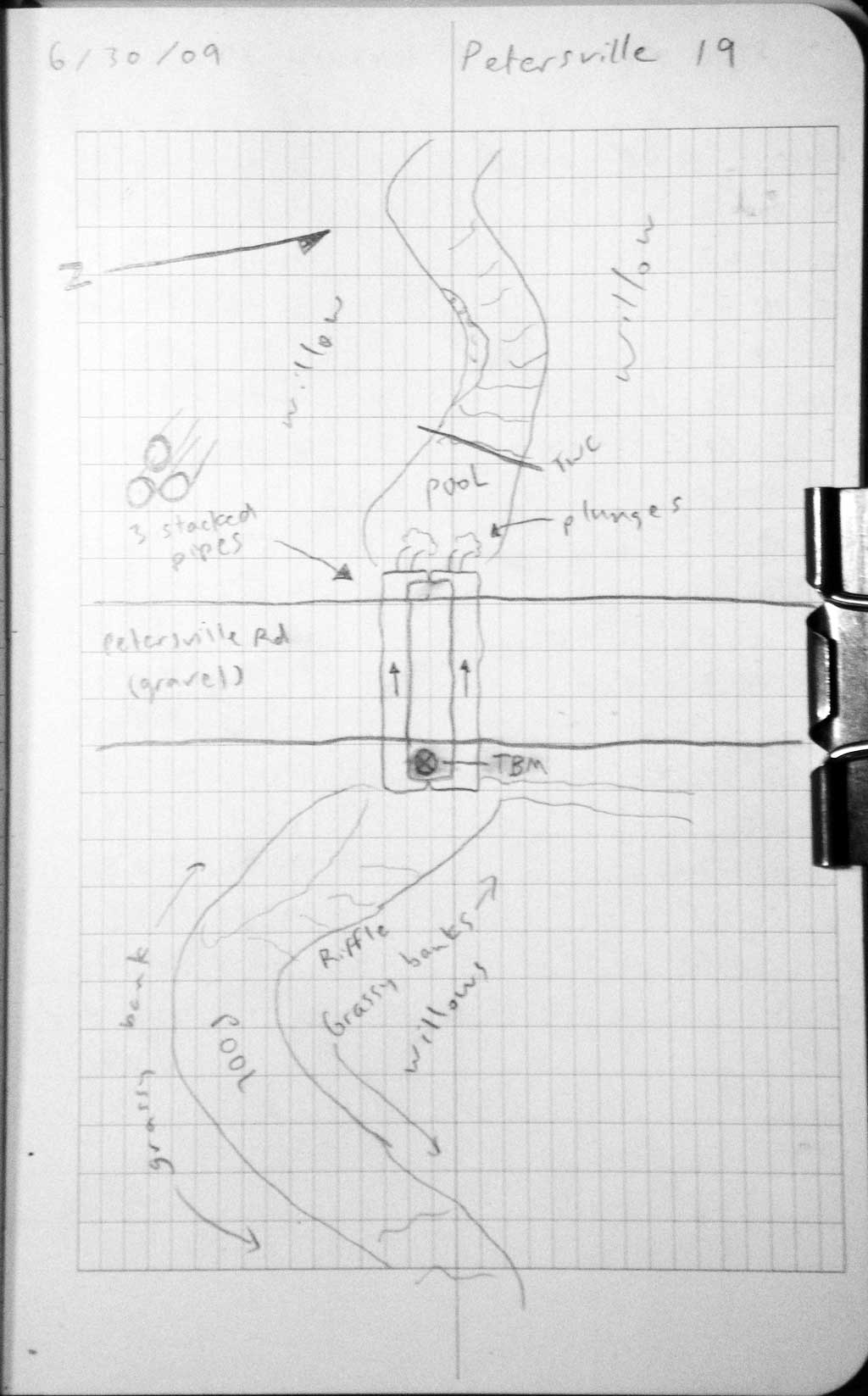
Road Name: Petersville Road
Datum: WGS84
Quad Name / ITM: Talkeetna C-2
AWC Stream #:
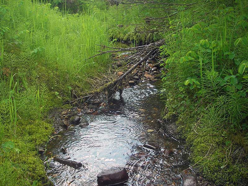
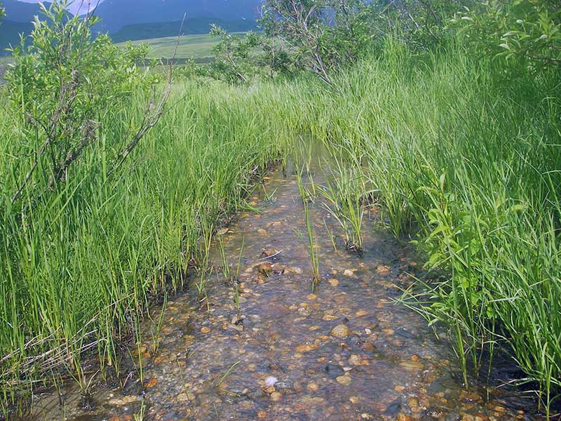
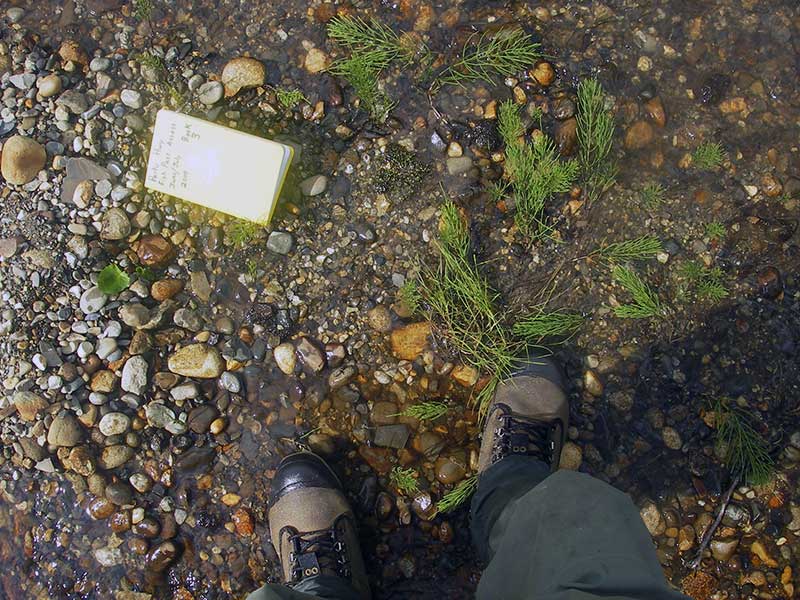
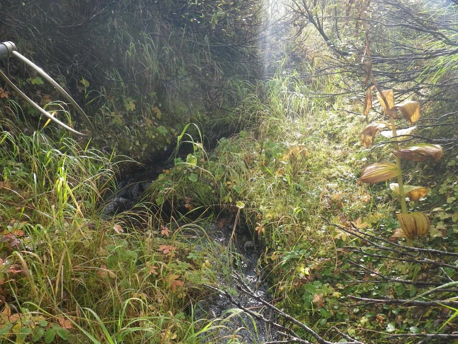
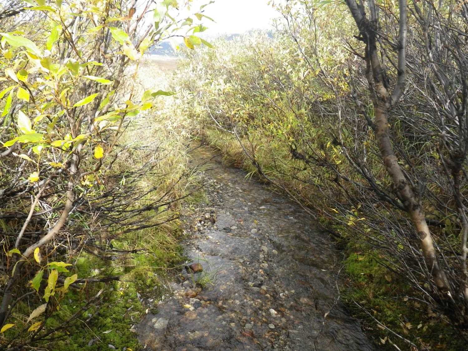
Stream Name: Long Creek
Elevation:
Site Comments: None
arrow to the right of the survey date below to choose a different report for this site.
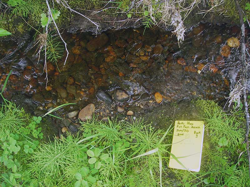
Survey PRK09-PVR19
Project Supervisor: Gillian O'Doherty, ADFG
Observers: Heidi Zimmer, Ben Histand
Overall Fish Passage Rating:
Tidal: No
Backwatered: No
Step Pools: No
Construction Year:
Site Observations:
- Outfall height red
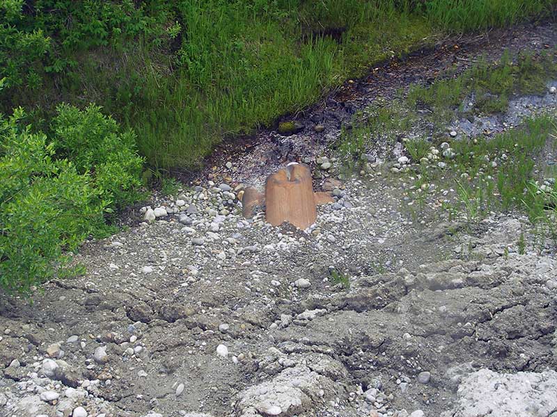
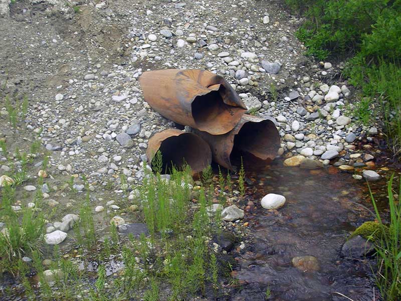
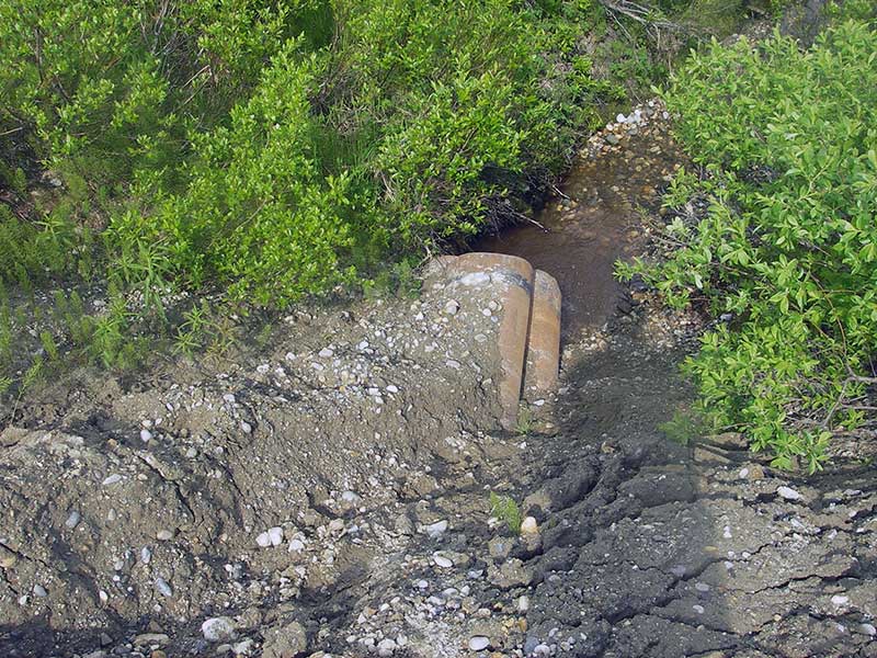
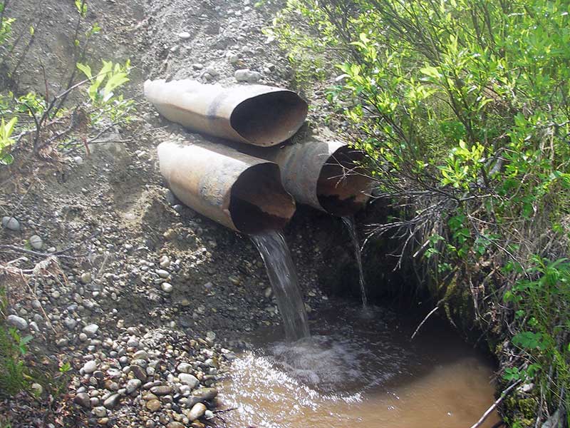
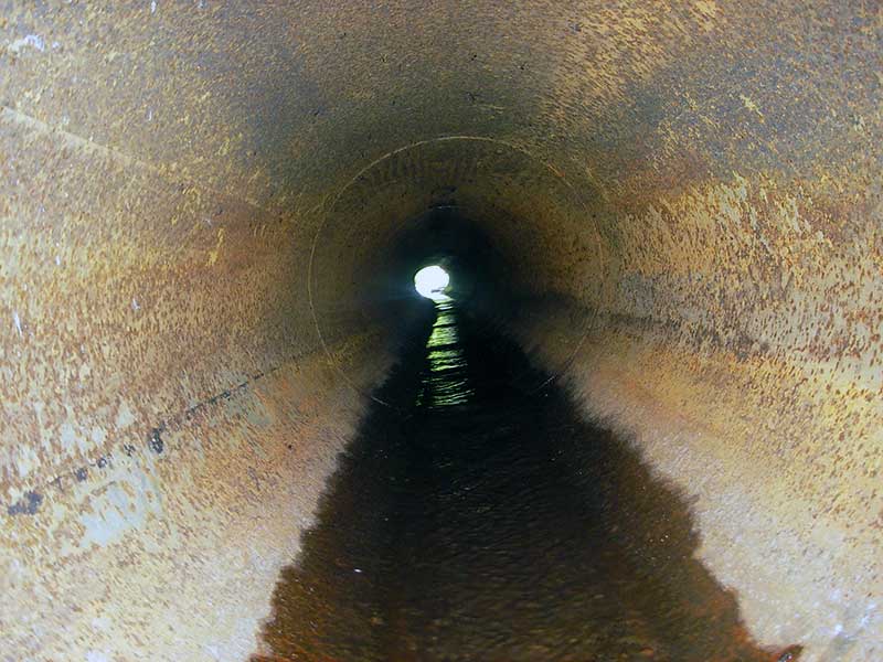
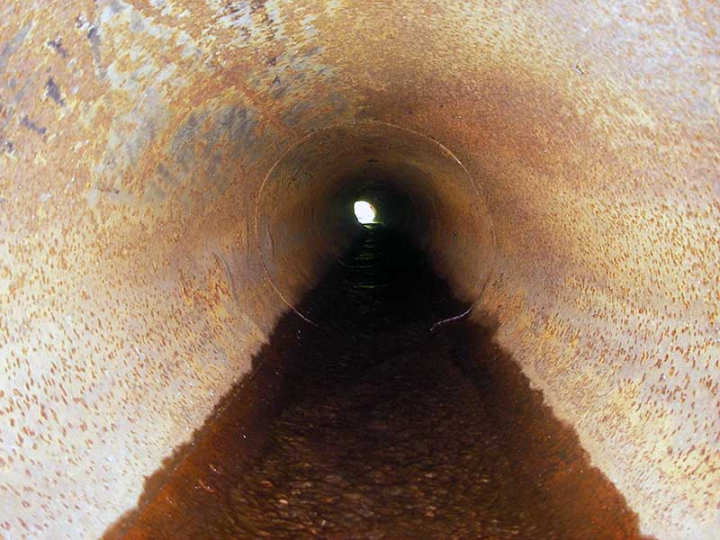
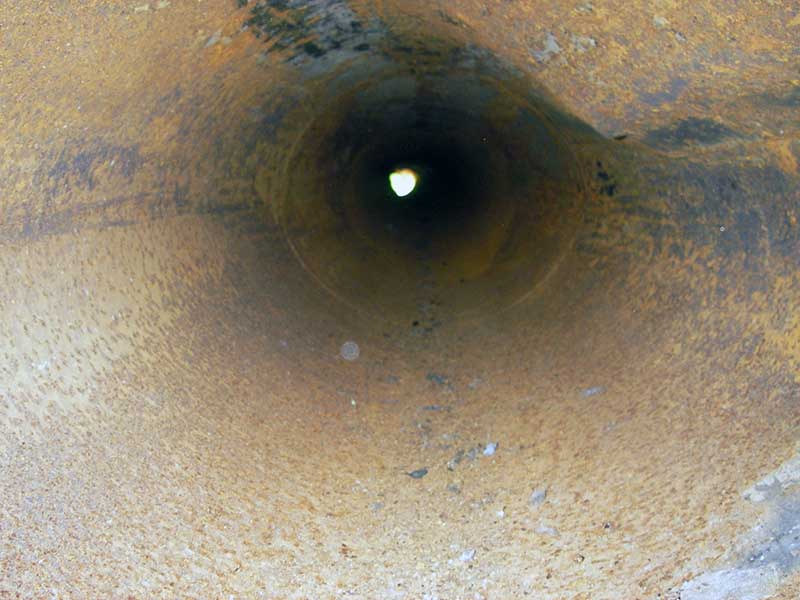
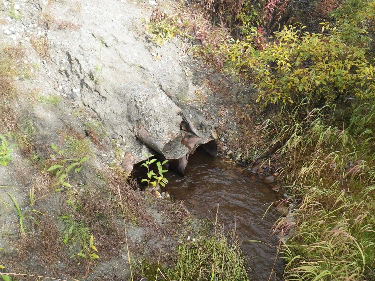
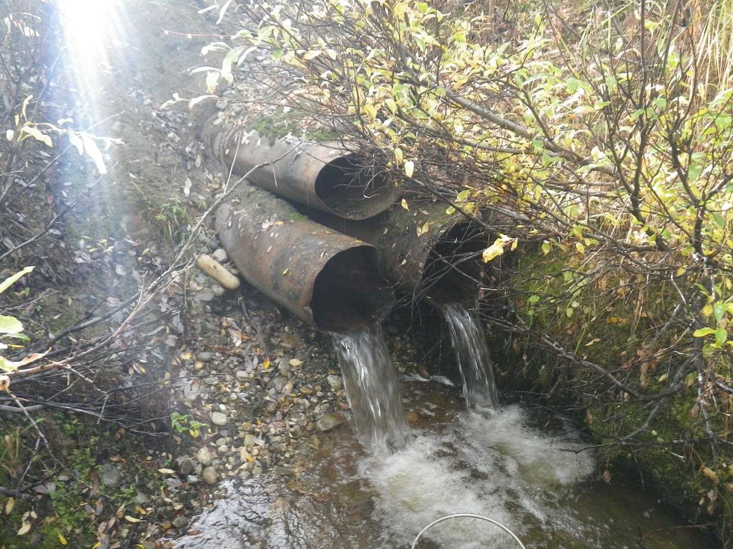
Comments: All pipes rusted all around; 3 non-corrugated pipes stacked in triangle; #3 on top; most flow in pipe 2. **Updated site photos added from 9/8/16 site visit from Sampling Unmapped Streams in the MSB project. Fish sampling informatin entered into AFFI.
Culvert Measurements
| ID: 1 | Structure Type: Oval (Non-corrugated metal) | Fish Passage Rating: | |||||||||||||||||||||||||||||||||||||||||
|
|
|
|||||||||||||||||||||||||||||||||||||||||
Comments: Pipe rusted all around; 3 non-corrugated pipes stacked in triangle; #3 on top; most flow in pipe 2. Constriction ratio based on pipes 1 and 2. |
|||||||||||||||||||||||||||||||||||||||||||
Culvert Observations:
|
|||||||||||||||||||||||||||||||||||||||||||
| ID: 2 | Structure Type: Oval (Non-corrugated metal) | Fish Passage Rating: | |||||||||||||||||||||||||||||||||||||||||
|
|
|
|||||||||||||||||||||||||||||||||||||||||
Comments: pipe rusted all around; 3 non-corrugated pipes stacked in triangle; #3 on top; most flow in pipe 2 |
|||||||||||||||||||||||||||||||||||||||||||
Culvert Observations:
|
|||||||||||||||||||||||||||||||||||||||||||
| ID: 3 | Structure Type: Oval (Non-corrugated metal) | Fish Passage Rating: | |||||||||||||||||||||||||||||||||||||||||
|
|
|
|||||||||||||||||||||||||||||||||||||||||
Comments: pipe dry; rusted all around; 3 non-corrugated pipes stacked in triangle; #3 on top; most flow in pipe 2 |
|||||||||||||||||||||||||||||||||||||||||||
Culvert Observations:
|
|||||||||||||||||||||||||||||||||||||||||||
Stream Measurements
|
|
| Stream Width Type | Distance From Crossing (ft) |
Stream Width (ft) |
|---|---|---|
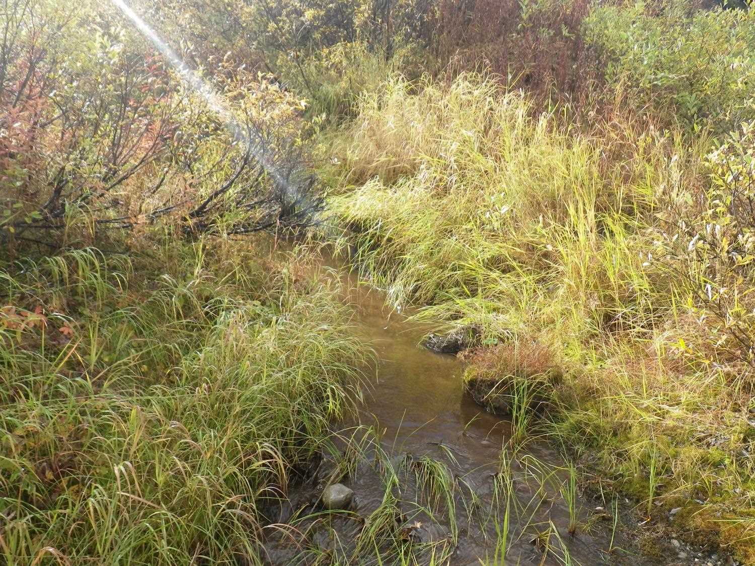
| Upstream ordinary high water | 70.0 | 1.50 |
| Upstream ordinary high water | 95.0 | 2.00 |
| Upstream ordinary high water | 150.0 | 1.50 |
Elevations
| Locator ID | Culvert Number |
River Distance (ft)1 |
Distance From Crossing (ft)2 |
Relative Elevation (ft) |
|---|---|---|---|---|
| Outlet Pool Water Elev | 96.07 | |||
| U/S Headwater | 1 | 98.02 | ||
| U/S Headwater | 2 | 98.07 | ||
| D/S Grade Ctrl (Thalweg) | 0.00 | 56.0 | 94.58 | |
| D/S Water Surface Elev | 0.00 | 56.0 | 94.72 | |
| D/S Water Surface Elev | 39.00 | 17.0 | 98.81 | |
| D/S Tailcrest or 1st Thalweg | 51.00 | 5.0 | 95.91 | |
| D/S Water Surface Elev | 51.00 | 5.0 | 96.06 | |
| D/S Thalweg (bottom of plunge, also bottom of out pool) | 54.80 | 1.2 | 95.59 | |
| Outlet Invert | 2 | 56.00 | 0.0 | 97.42 |
| Outlet Invert | 1 | 56.00 | 0.0 | 97.48 |
| Outlet Invert | 3 | 56.00 | 0.0 | 98.56 |
| Road Elev | 75.50 | 106.16 | ||
| Inlet Culvert Invert (overflow pipe) | 3 | 95.00 | 0.0 | 98.90 |
| Inlet Culvert Invert | 2 | 95.00 | 0.0 | 97.89 |
| Inlet Culvert Invert (approx (on subs)) | 1 | 95.00 | 0.0 | 97.94 |
| U/S Grade Ctrl (Thalweg) | 112.00 | 17.0 | 98.66 |
Notes:
- River distance is measured continuously throughout the survey reach along the thalweg of the stream.
- Measured from each end of the crossing along the thalweg of the stream.
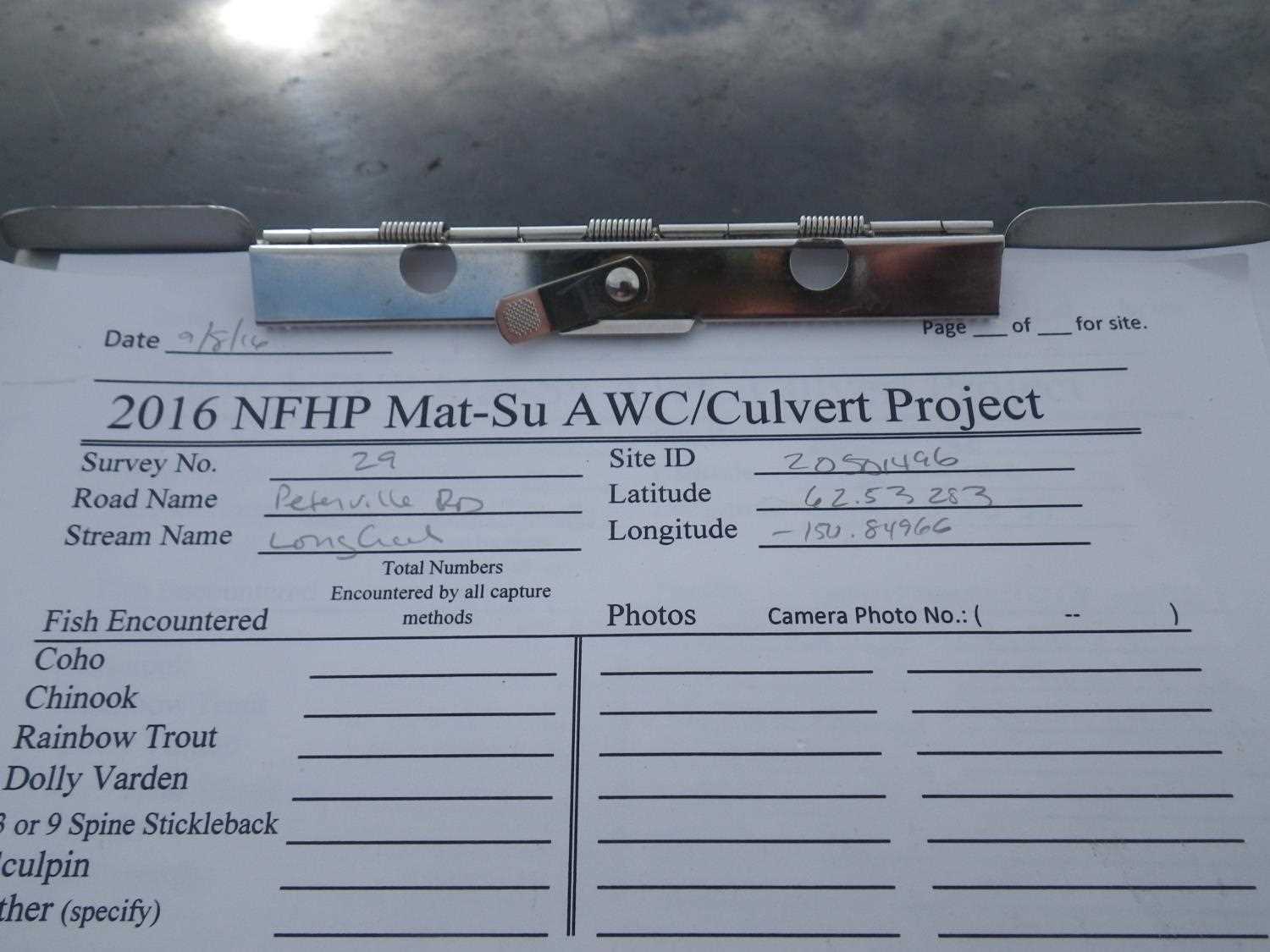
Fish Sampling Efforts
| Gear Type: Minnow Trap (A) | Trap Duration(h): 1.0 | |
| Comments: no fish caught; 85ft u/s | ||
| Gear Type: Minnow Trap (B) | Trap Duration(h): 1.0 | |
| Comments: no fish caught; 300ft d/s | ||
Fish Observations
No fish observations occurred during this survey.
Photos
Questions or comments about this report can be directed to dfg.dsf.webmaster@alaska.gov