Fish Passage Site 20501495
Coordinates (dec. deg.): 62.52876°, -150.87044°
Legal Description: S028N009W12
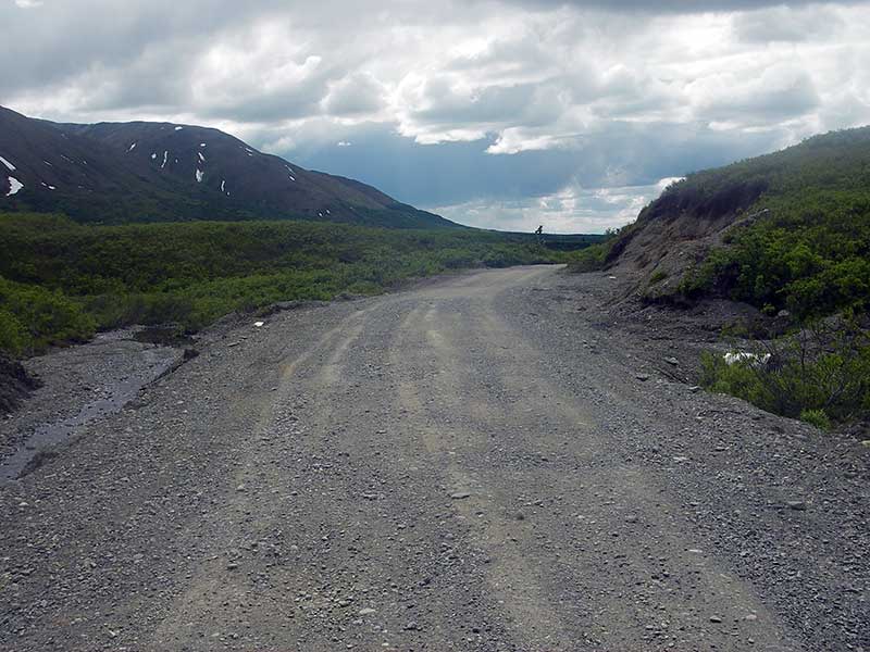
Region: South Central
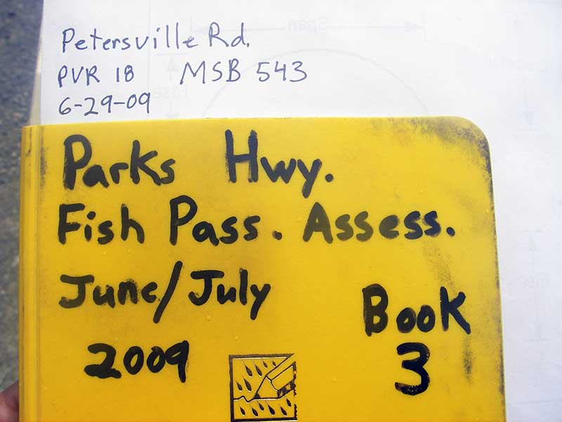
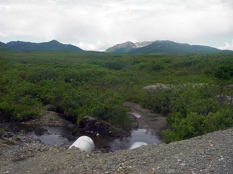
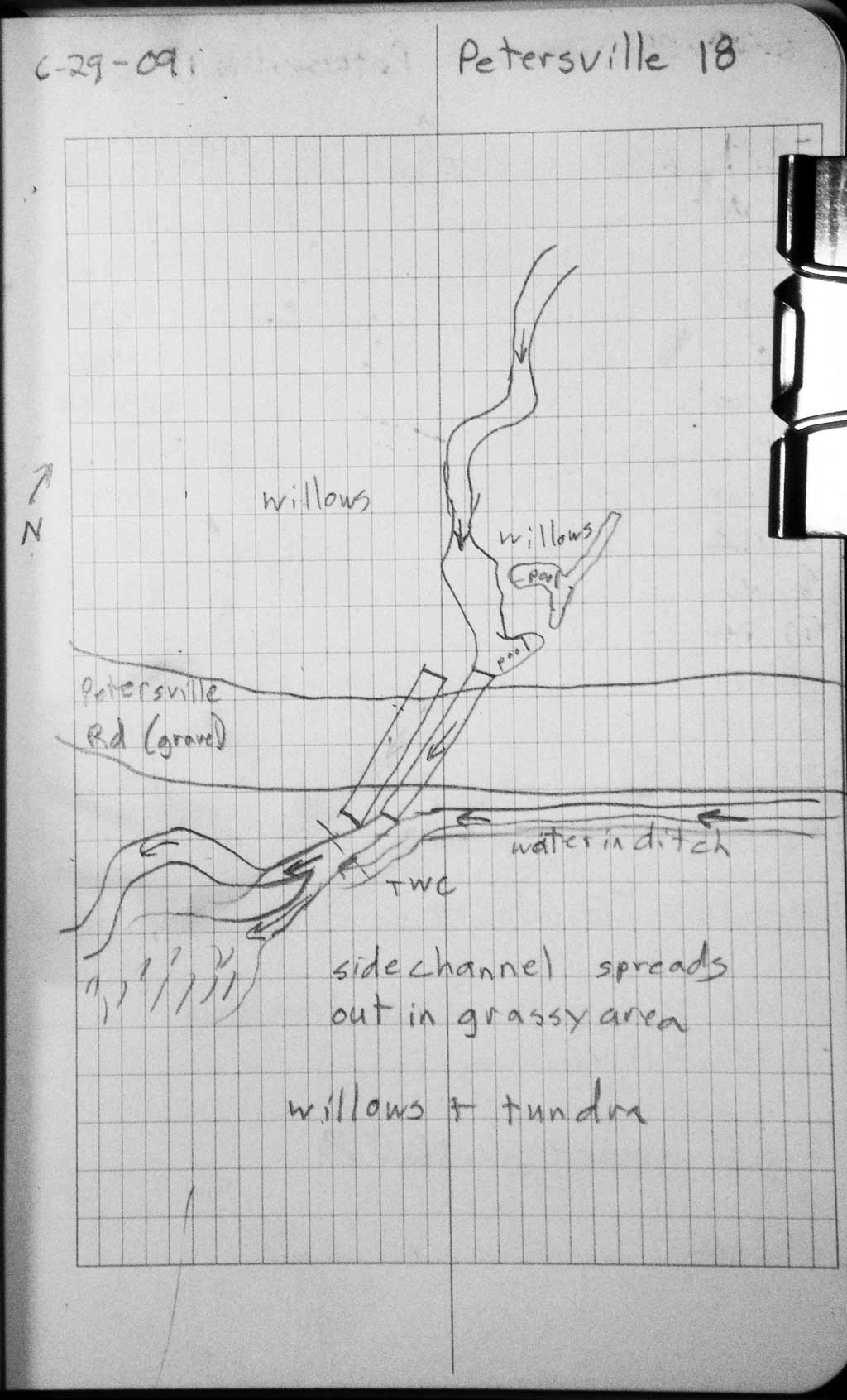
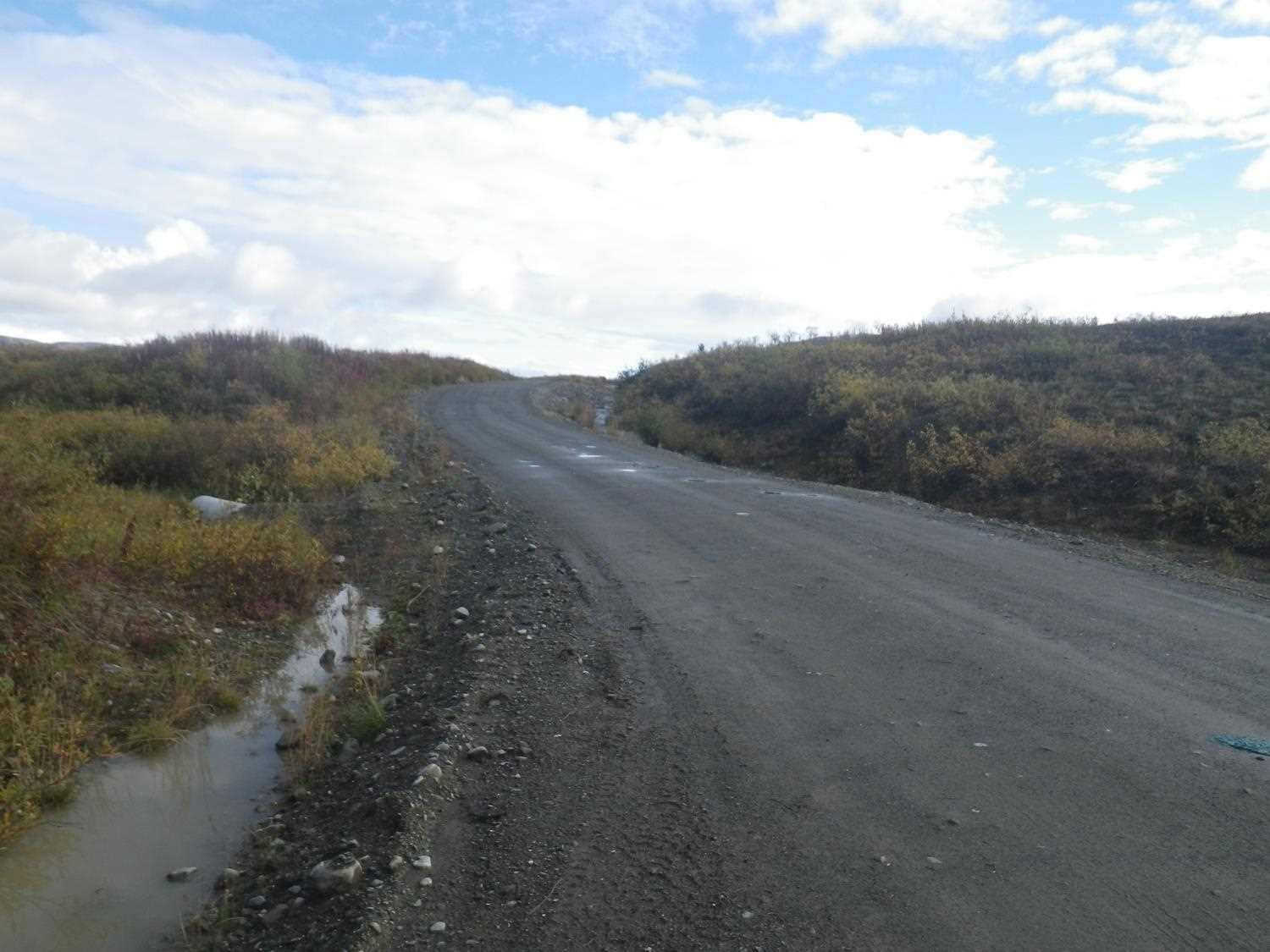
Road Name: Petersville Road
Datum: WGS84
Quad Name / ITM: Talkeetna C-2
AWC Stream #:
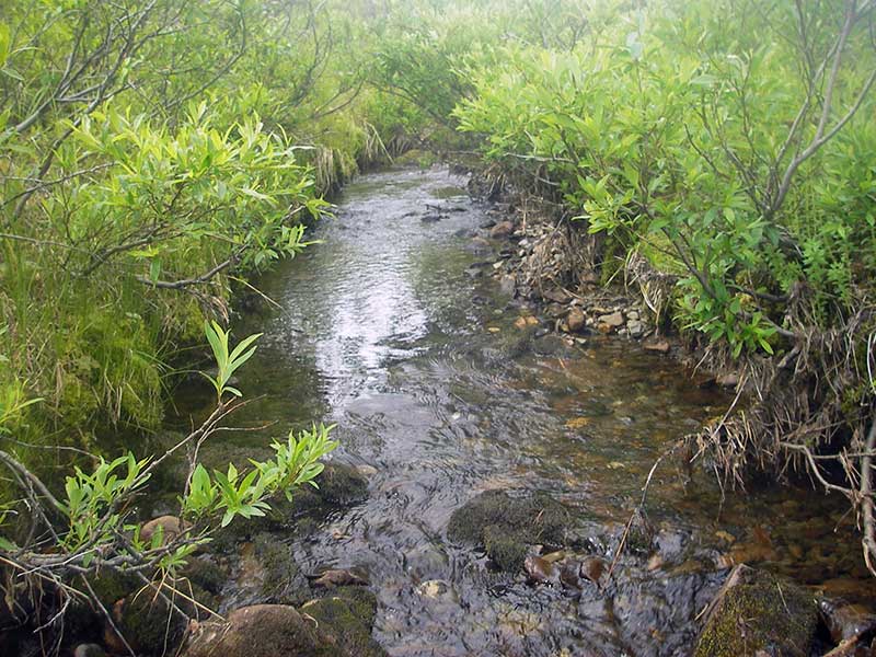
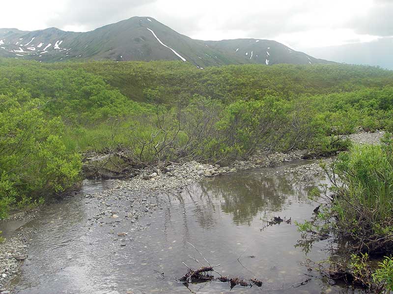
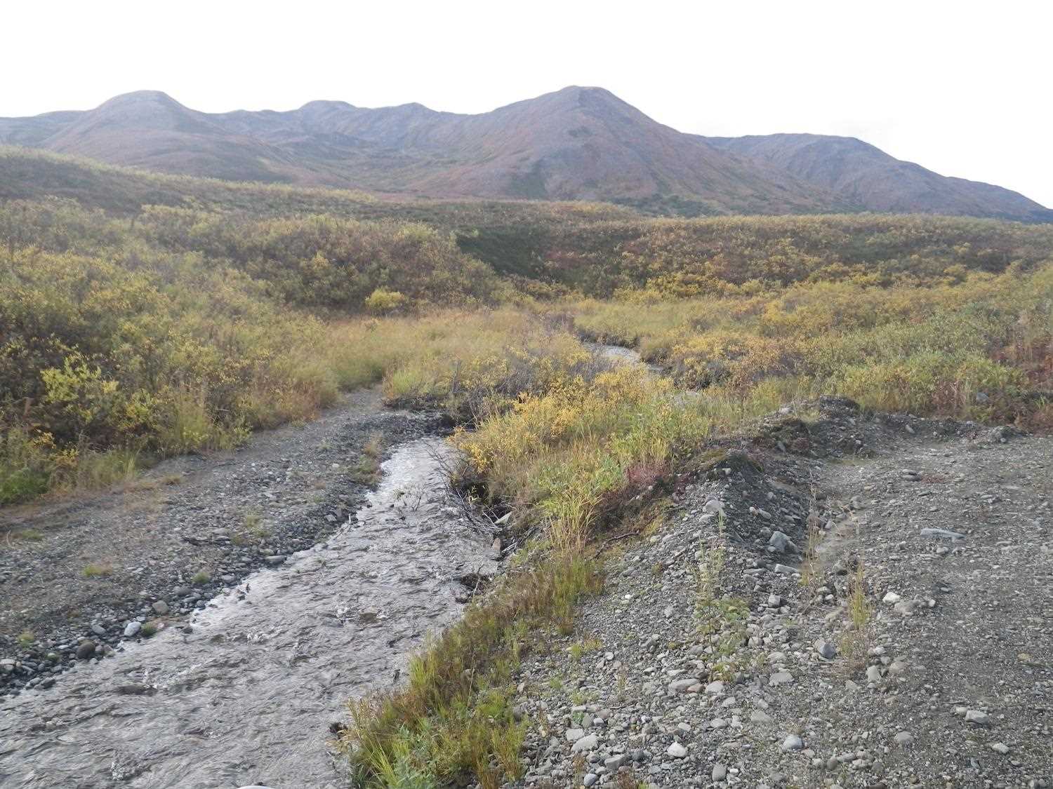
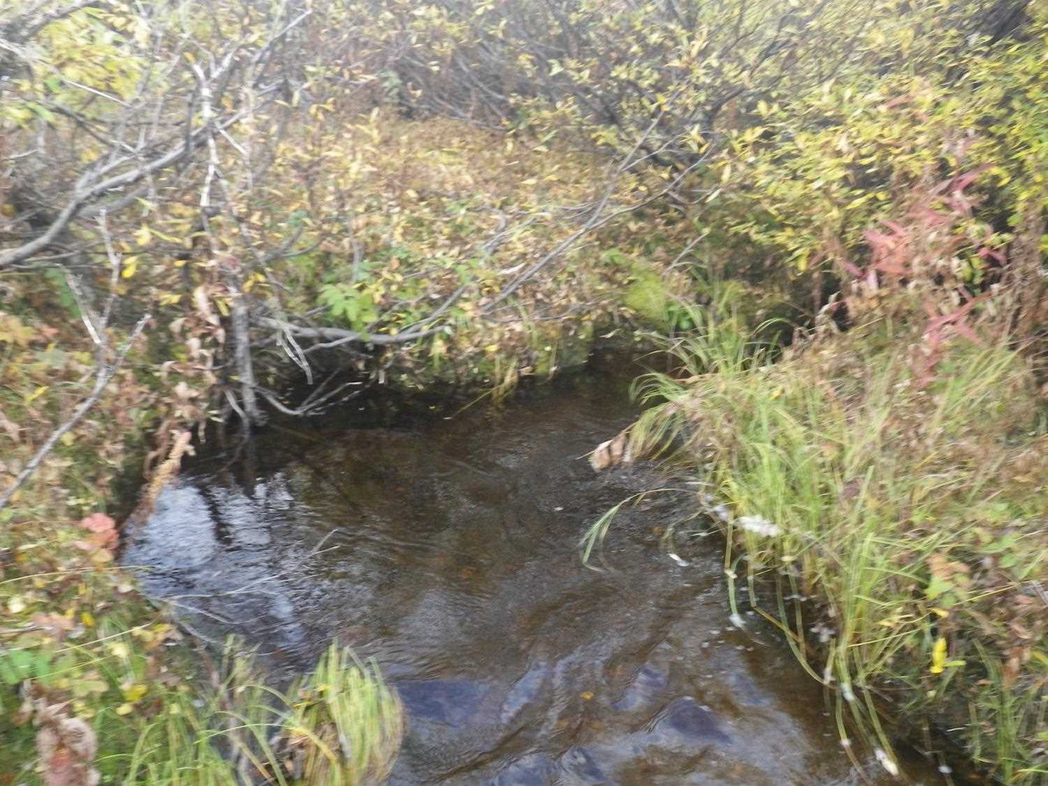
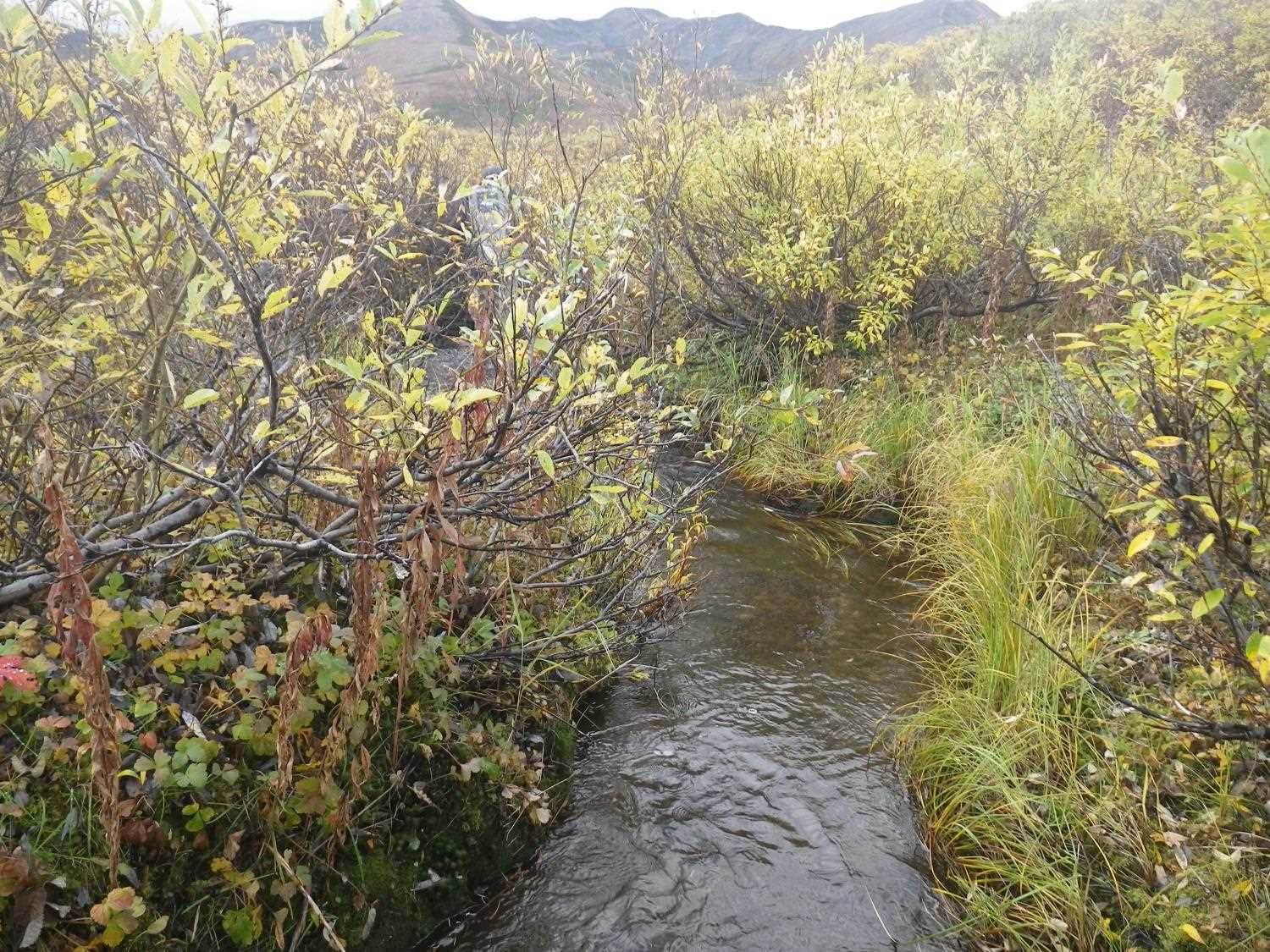
Stream Name: Long Creek
Elevation:
Site Comments: None
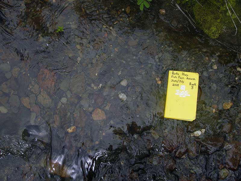
Survey PRK09-PVR18
Project Supervisor: Gillian O'Doherty, ADFG
Observers: Heidi Zimmer, Ben Histand
Overall Fish Passage Rating:
Tidal: No
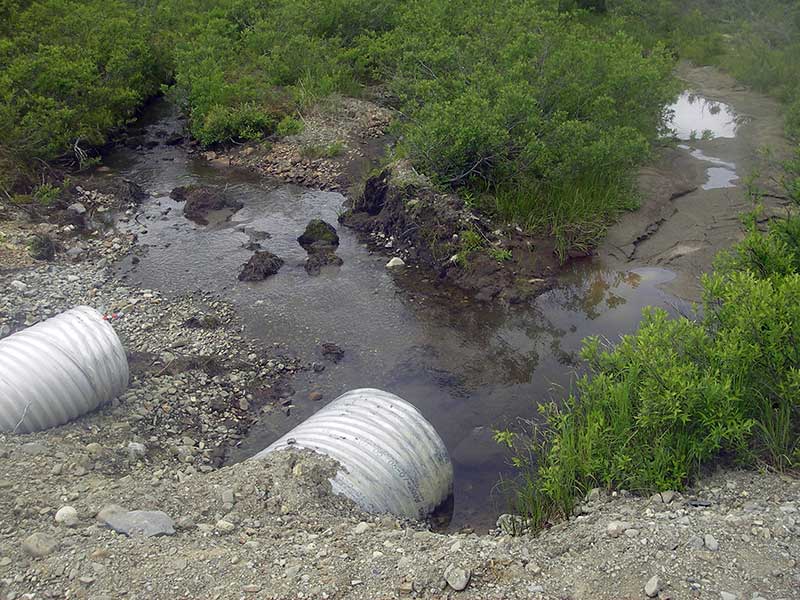
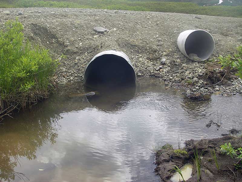
Backwatered: Yes
Step Pools: No
Construction Year:
Site Observations:
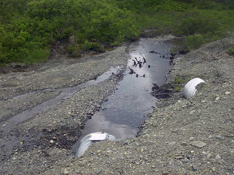
- Constriction ratio gray
- Shallow fill; inadequate roadfill volume above culvert
- Culvert is poorly aligned
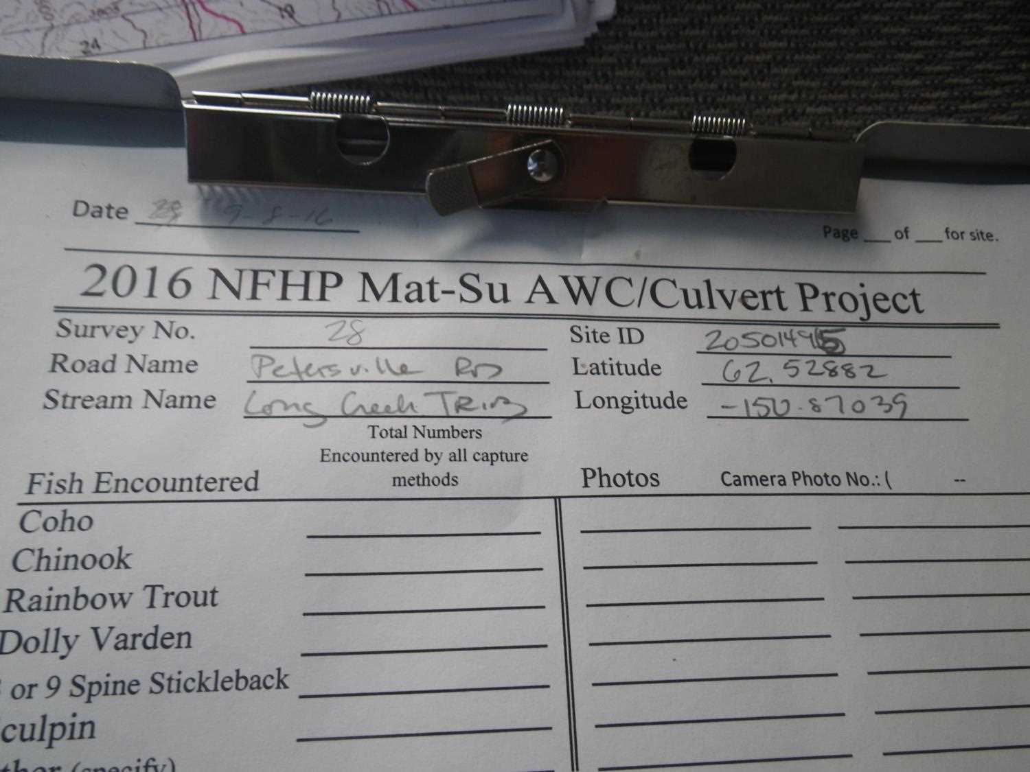
Comments: ** Update site photos added from 9/8/16 site visit from Sampling Unmapped Streams in the MSB project. Fish sampling infromation entered into AFFI. ***
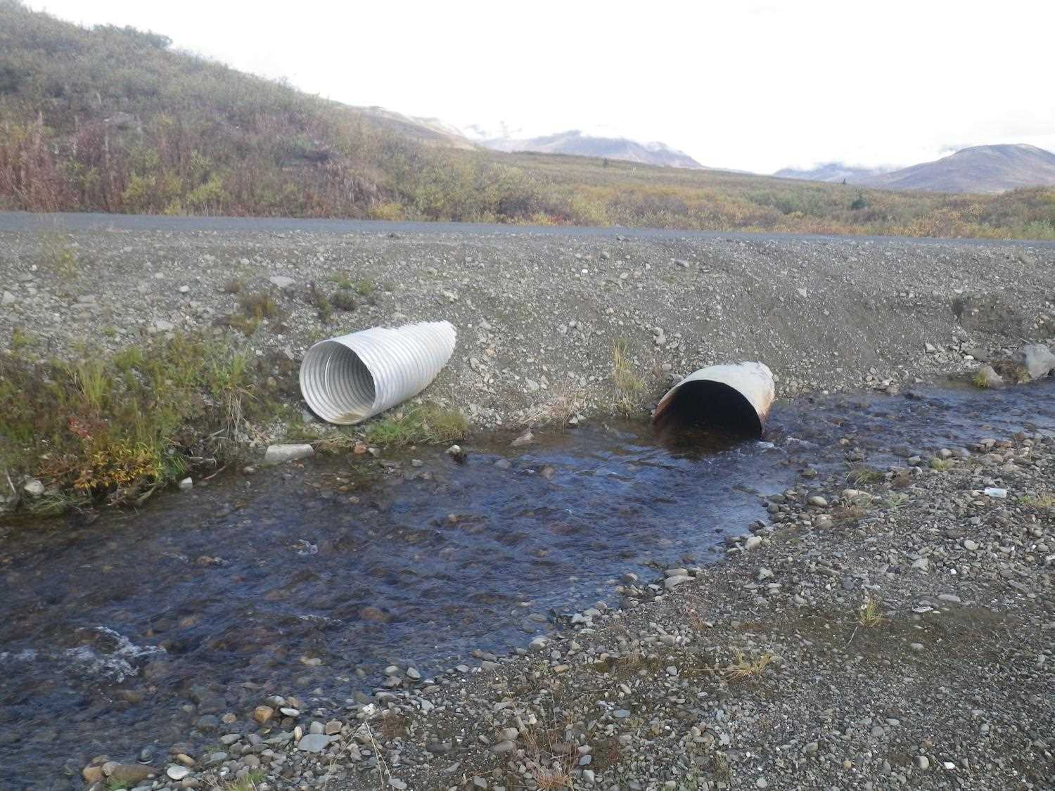
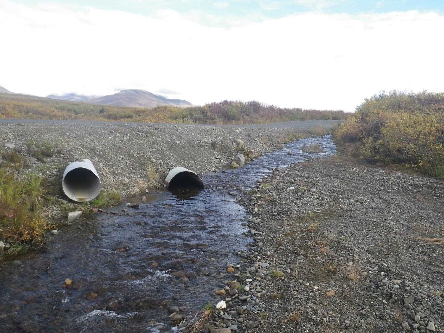
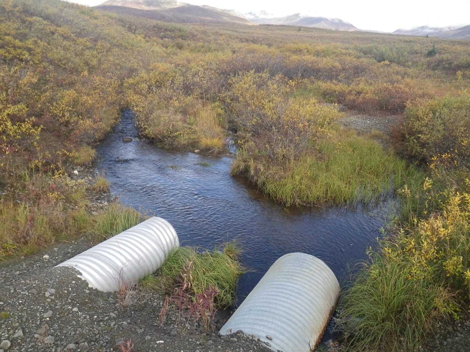
Culvert Measurements
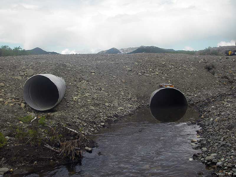
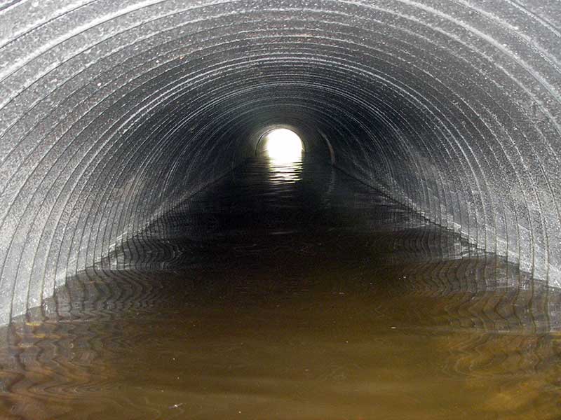
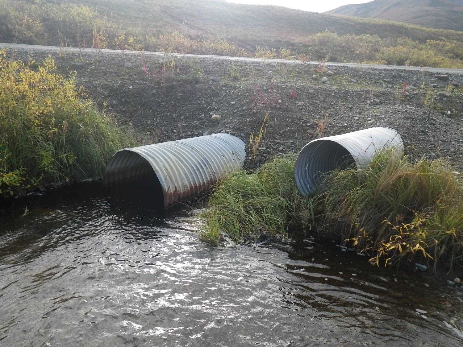
| ID: 1 | Structure Type: Circular pipe (Corrugated steel) | Fish Passage Rating: | |||||||||||||||||||||||||||||||||||||||||
|
|
|
|||||||||||||||||||||||||||||||||||||||||
Comments: Pipe 1 is backwatered. |
|||||||||||||||||||||||||||||||||||||||||||
Culvert Observations:
|
|||||||||||||||||||||||||||||||||||||||||||
| ID: 2 | Structure Type: Circular pipe (Corrugated steel) | Fish Passage Rating: | |||||||||||||||||||||||||||||||||||||||||
|
|
|
|||||||||||||||||||||||||||||||||||||||||
Comments: pipe 2 is dry overflow pipe |
|||||||||||||||||||||||||||||||||||||||||||
Culvert Observations:
|
|||||||||||||||||||||||||||||||||||||||||||
Stream Measurements
|
|
| Stream Width Type | Distance From Crossing (ft) |
Stream Width (ft) |
|---|---|---|
| Upstream ordinary high water | 38.0 | 4.50 |
| Upstream ordinary high water | 112.0 | 5.50 |
| Upstream ordinary high water | 140.0 | 4.00 |
Elevations
| Locator ID | Culvert Number |
River Distance (ft)1 |
Distance From Crossing (ft)2 |
Relative Elevation (ft) |
|---|---|---|---|---|
| U/S Headwater (pool at inlet) | 98.28 | |||
| Outlet Pool Water Elev | 98.28 | |||
| D/S Water Surface Elev (ws @ GP) | 0.00 | 48.0 | 98.21 | |
| D/S Grade Ctrl (Thalweg) (d/s grade pt) | 0.00 | 48.0 | 98.09 | |
| D/S Tailcrest or 1st Thalweg | 40.00 | 8.0 | 98.11 | |
| D/S Water Surface Elev | 40.00 | 8.0 | 98.28 | |
| D/S Thalweg | 44.50 | 3.5 | 97.83 | |
| Outlet Invert (on substrate) | 1 | 48.00 | 0.0 | 97.40 |
| Outlet Invert (no water) | 2 | 48.00 | 0.0 | 99.13 |
| Road Elev | 79.00 | 103.67 | ||
| Inlet Culvert Invert (no water) | 2 | 110.00 | 0.0 | 99.23 |
| Inlet Culvert Invert | 1 | 110.00 | 0.0 | 97.04 |
Notes:
- River distance is measured continuously throughout the survey reach along the thalweg of the stream.
- Measured from each end of the crossing along the thalweg of the stream.
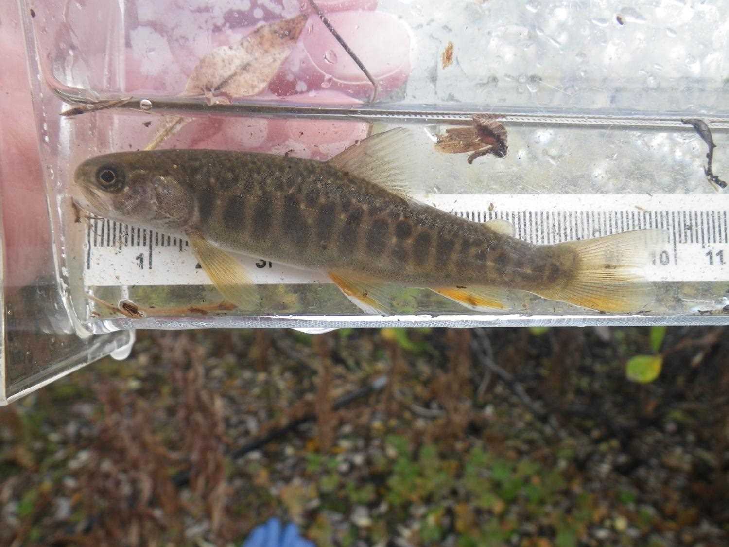
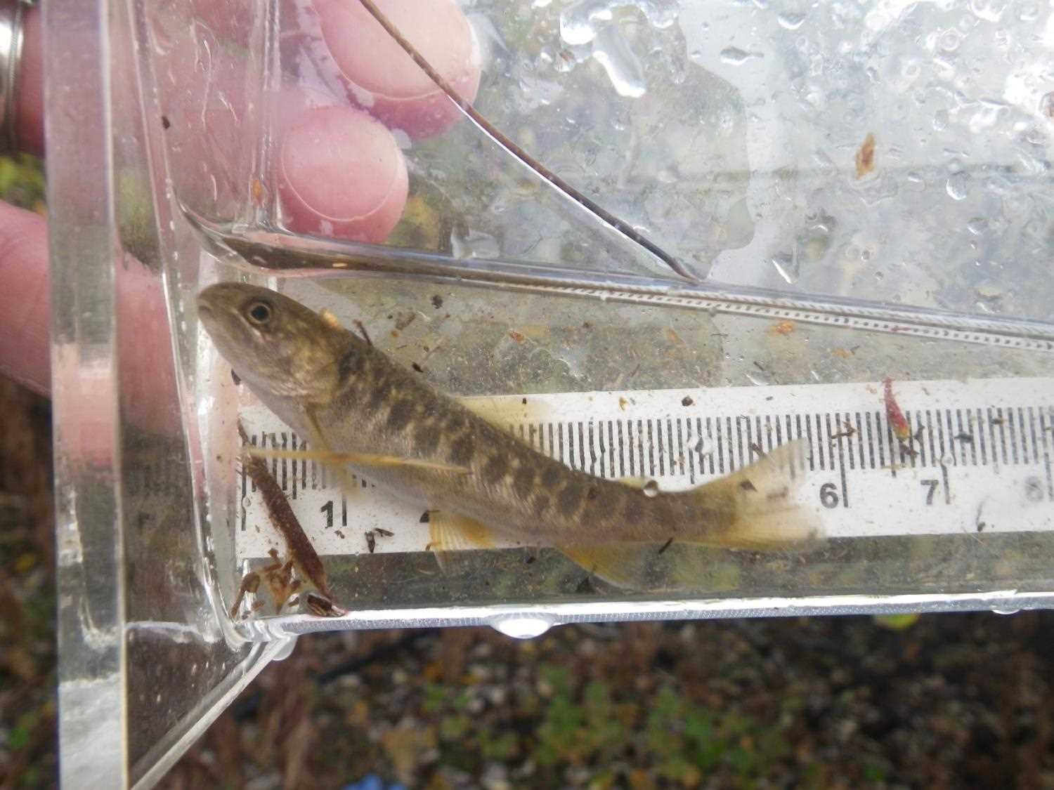
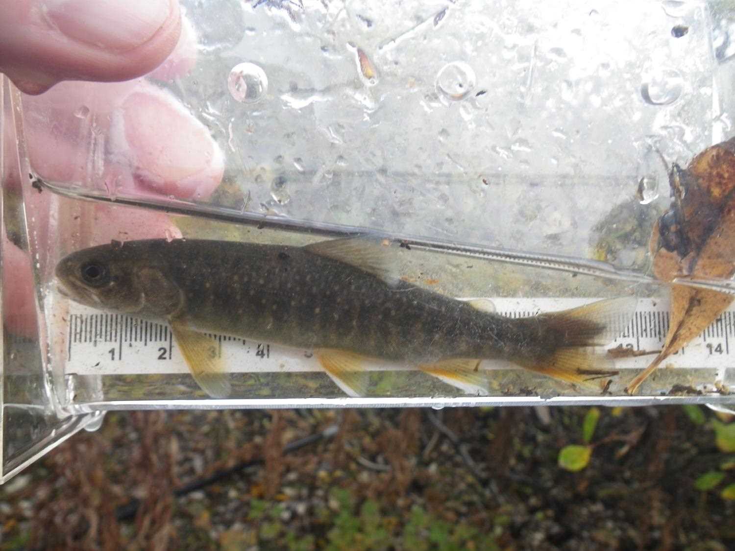
Fish Sampling Efforts
| Gear Type: Minnow Trap (A) | Trap Duration(h): 1.0 | |
| Comments: no fish caught; 140ft u/s | ||
| Gear Type: Minnow Trap (B) | Trap Duration(h): 1.0 | |
| Comments: no fish caught; 200ft d/s | ||
Fish Observations
No fish observations occurred during this survey.
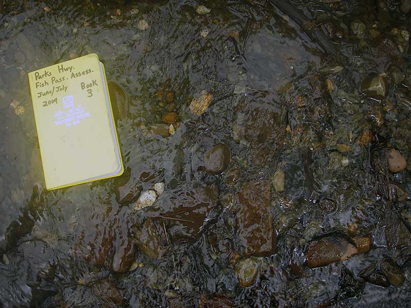
Photos
Questions or comments about this report can be directed to dfg.dsf.webmaster@alaska.gov