Fish Passage Site 20501491
Coordinates (dec. deg.): 62.48464°, -150.76430°
Legal Description: S028N008W28
Region: South Central
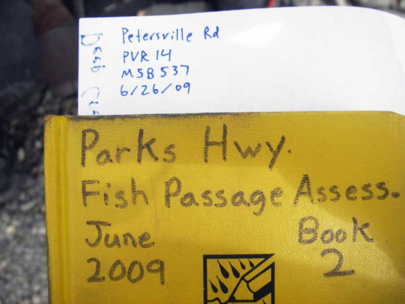
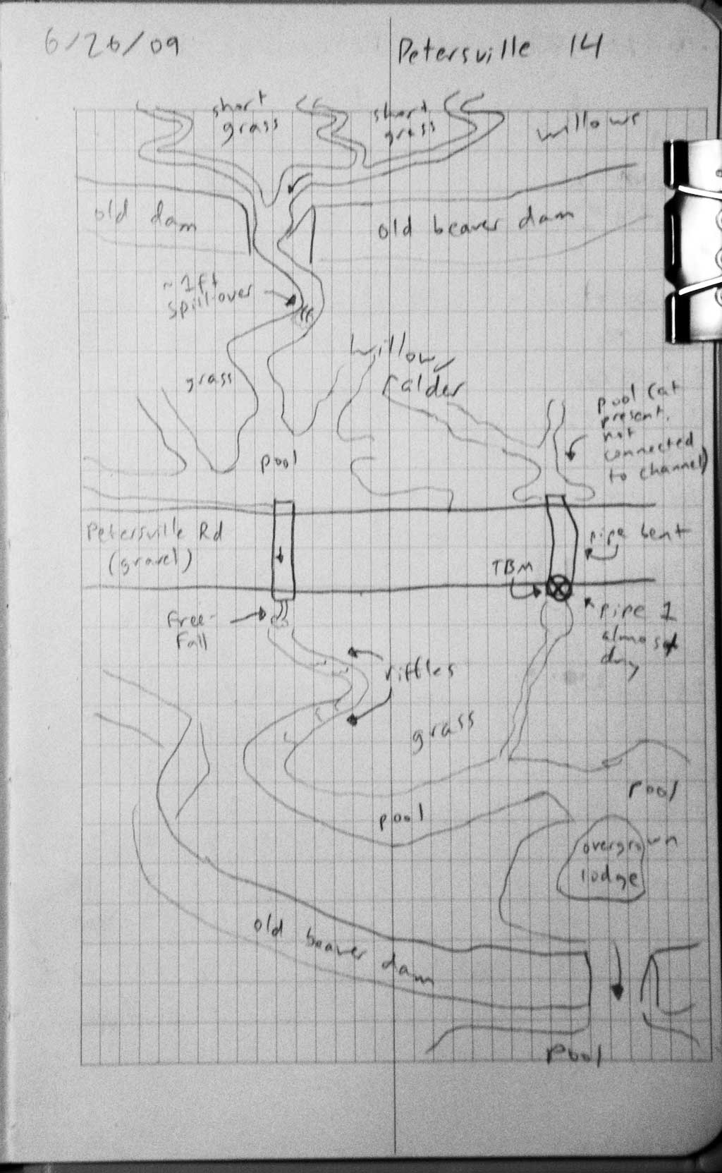
Road Name: Petersville Road
Datum: WGS84
Quad Name / ITM: Talkeetna B-2
AWC Stream #:
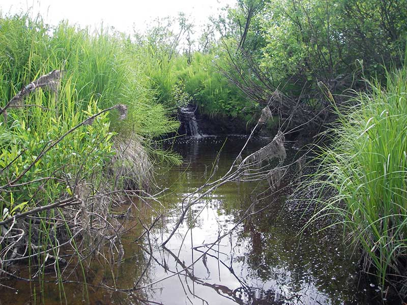
Stream Name: Peters Creek tributary
Elevation:
Site Comments: None
Survey PRK09-PVR14
Project Supervisor: Gillian O'Doherty, ADFG
Observers: Heidi Zimmer, Ben Histand
Overall Fish Passage Rating:
Tidal: No
Backwatered: No
Step Pools: No
Construction Year:
Site Observations:
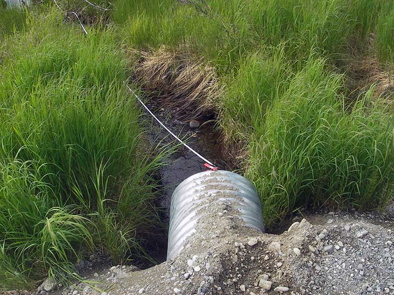
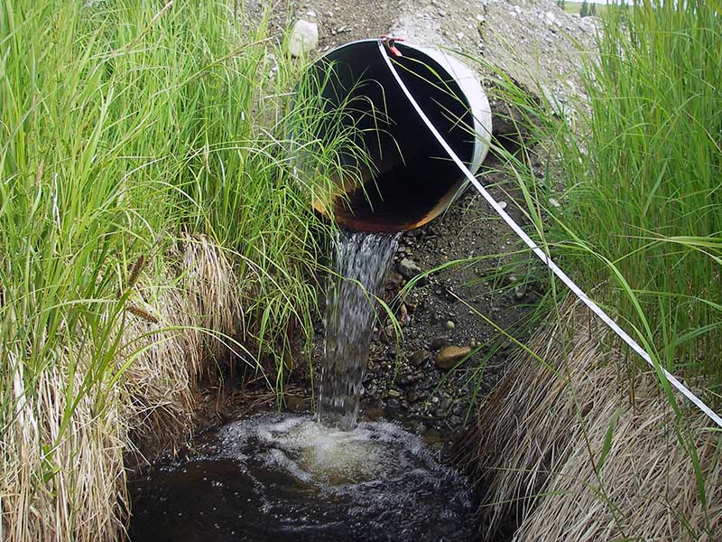
- Outfall height red
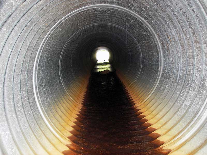
- Mechanical damage or joints parting
- Culvert gradient red
- Shallow fill; inadequate roadfill volume above culvert
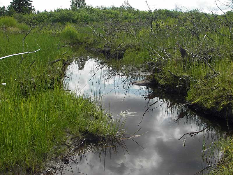
- Beaver Activity
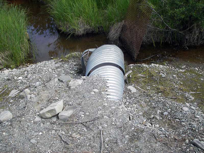
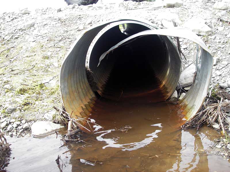
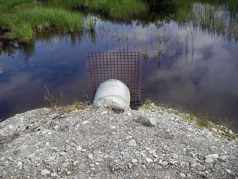
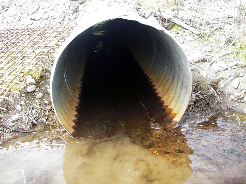
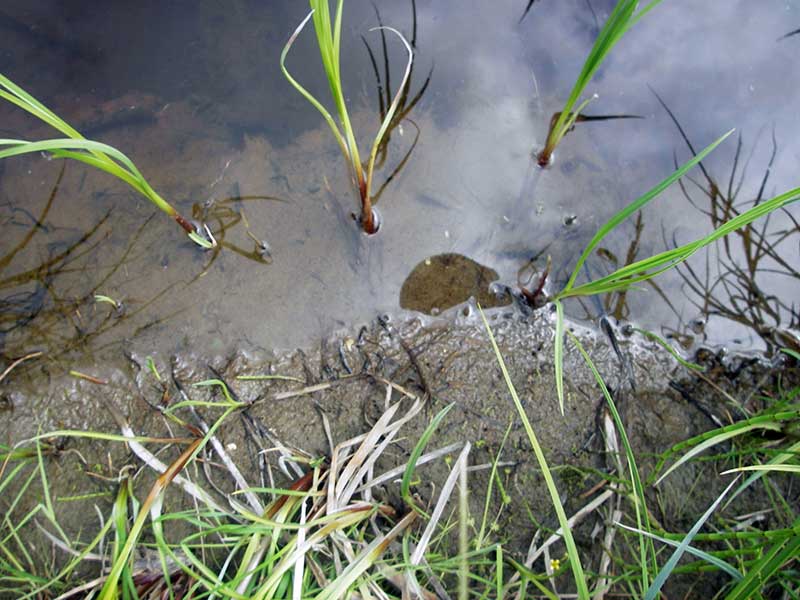
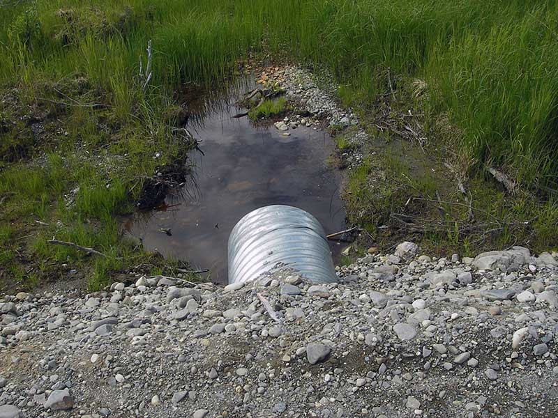
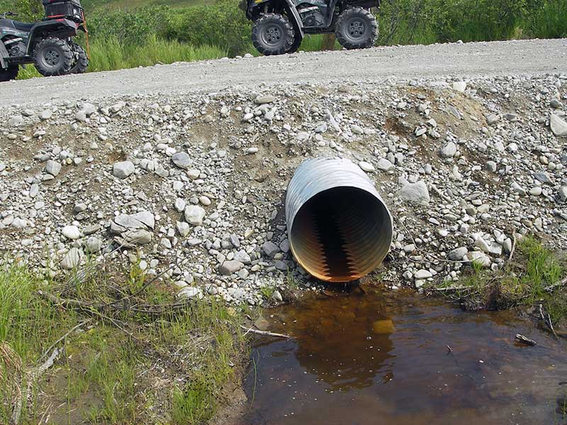
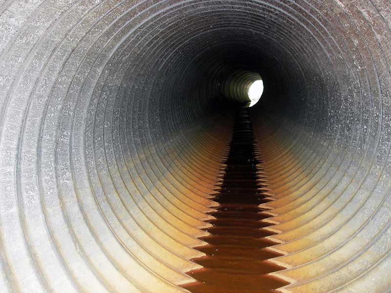
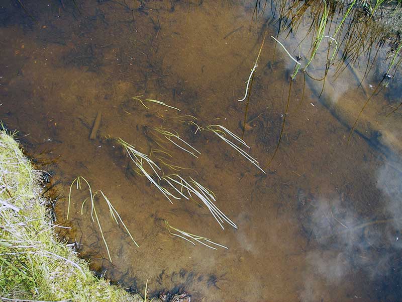
Comments: All flow is though pipe 2. Upstream channel from pipe 1 flows through pipe at high water. Tadpoles observed at pipe 1 inlet in still water. Inlet pipe 1 is pulling apart but pipe looks fairly new. Pipe 2 has a beaver grate. Old beaver dams upstream and downstream from culverts. Constriction ratio is for both pipes. CR if using only Pipe 2 is .59.
Culvert Measurements
| ID: 1 | Structure Type: Circular pipe (Corrugated steel) | Fish Passage Rating: | |||||||||||||||||||||||||||||||||||||||||
|
|
|
|||||||||||||||||||||||||||||||||||||||||
Comments: Trickle of flow at outlet; u/s channel from pipe 1 connects to main u/s channel only at high water; inlet 1 pulling apart. CR with both pipes is .83. |
|||||||||||||||||||||||||||||||||||||||||||
Culvert Observations:
|
|||||||||||||||||||||||||||||||||||||||||||
| ID: 2 | Structure Type: Circular pipe (Corrugated steel) | Fish Passage Rating: | |||||||||||||||||||||||||||||||||||||||||
|
|
|
|||||||||||||||||||||||||||||||||||||||||
Comments: pipe 2 has all flow; CR is .83 with both pipes |
|||||||||||||||||||||||||||||||||||||||||||
Culvert Observations:
|
|||||||||||||||||||||||||||||||||||||||||||
Stream Measurements
|
|
| Stream Width Type | Distance From Crossing (ft) |
Stream Width (ft) |
|---|---|---|
| Downstream ordinary high water | 57.0 | 2.80 |
| Downstream ordinary high water | 82.0 | 3.10 |
| Downstream ordinary high water | 100.0 | 4.30 |
Elevations
| Locator ID | Culvert Number |
River Distance (ft)1 |
Distance From Crossing (ft)2 |
Relative Elevation (ft) |
|---|---|---|---|---|
| D/S Tailcrest or 1st Thalweg | 2 | 97.30 | ||
| U/S Headwater (pool immed u/s) | 1 | 98.65 | ||
| U/S Headwater | 2 | 99.67 | ||
| D/S Grade Ctrl (Thalweg) | 2 | 0.00 | 15.0 | 96.88 |
| D/S Water Surface Elev (ws @ GP) | 2 | 0.00 | 15.0 | 97.00 |
| D/S Tailcrest or 1st Thalweg | 1 | 2.50 | 12.5 | 97.73 |
| D/S Water Surface Elev (ws @ TWC - use for TWS) | 1 | 2.50 | 12.5 | 97.77 |
| D/S Tailcrest or 1st Thalweg | 2 | 7.00 | 8.0 | 97.11 |
| D/S Water Surface Elev (ws @ TWC) | 2 | 7.00 | 8.0 | 97.29 |
| D/S Thalweg | 2 | 10.50 | 4.5 | 95.68 |
| D/S Thalweg (bottom of pool) | 2 | 12.00 | 3.0 | 95.14 |
| D/S Thalweg (bottom of pool) | 1 | 12.20 | 2.8 | 96.73 |
| D/S Thalweg | 2 | 14.00 | 1.0 | 96.32 |
| Outlet Invert | 1 | 15.00 | 0.0 | 97.92 |
| Outlet Invert | 2 | 15.00 | 0.0 | 99.13 |
| D/S Thalweg (stream bed end of pipe) | 1 | 15.00 | 0.0 | 97.37 |
| Road Elev (over pipe 1) | 35.00 | 101.51 | ||
| Road Elev (over pipe 2) | 35.00 | 102.33 | ||
| Inlet Culvert Invert | 2 | 55.00 | 0.0 | 99.34 |
| Inlet Culvert Invert | 1 | 55.00 | 0.0 | 98.31 |
Notes:
- River distance is measured continuously throughout the survey reach along the thalweg of the stream.
- Measured from each end of the crossing along the thalweg of the stream.
Fish Sampling Efforts
No fish sampling occurred during this survey.
Fish Observations
No fish observations occurred during this survey.
Photos
Questions or comments about this report can be directed to dfg.dsf.webmaster@alaska.gov