Fish Passage Site 20501490
Coordinates (dec. deg.): 62.47888°, -150.74772°
Legal Description: S028N008W34
Region: South Central
Road Name: Petersville Road
Datum: WGS84
Quad Name / ITM: Talkeetna B-2
AWC Stream #:
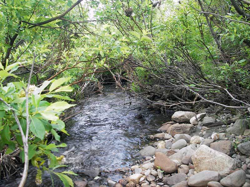
Stream Name: Peters Creek tributary
Elevation:
Site Comments: None
arrow to the right of the survey date below to choose a different report for this site.
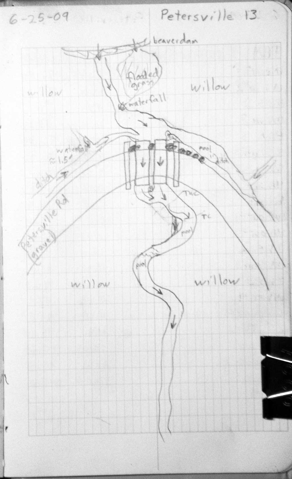
Survey PRK09-PVR13
Project Supervisor: Gillian O'Doherty, ADFG
Observers: Heidi Zimmer, Ben Histand
Overall Fish Passage Rating:
Tidal: No
Backwatered: No
Step Pools: No
Construction Year:
Site Observations:
- Constriction ratio gray
- Culvert gradient gray
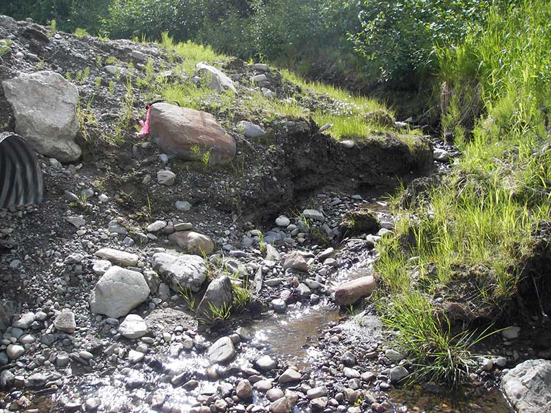
- Road bank erosion
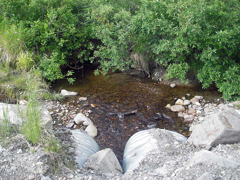
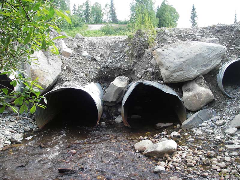
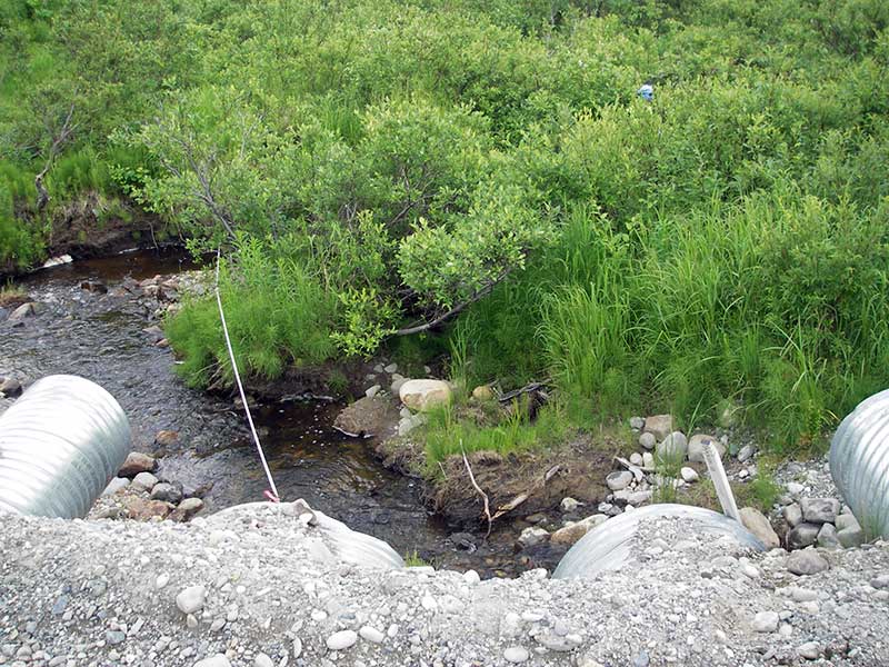
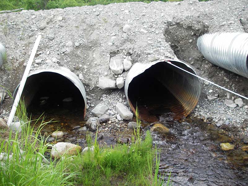
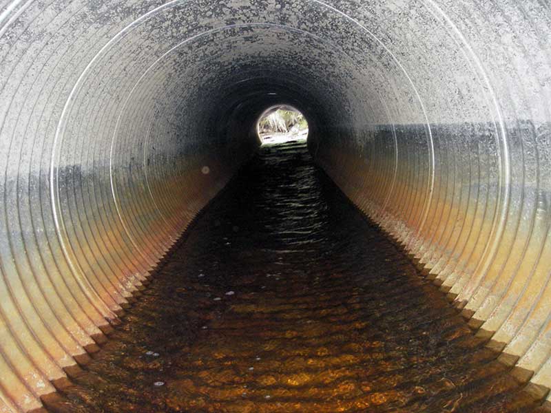
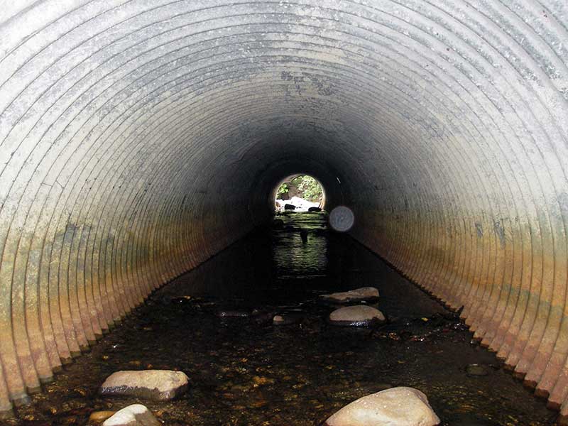
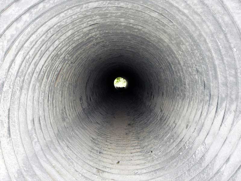
Comments: Pipes 1 and 4 are higher, set as smaller overflow pipes and are dry and not part of the active stream channel and were not considered when calculating constriction ratio. Most of the flow is through pipe 2.
Culvert Measurements
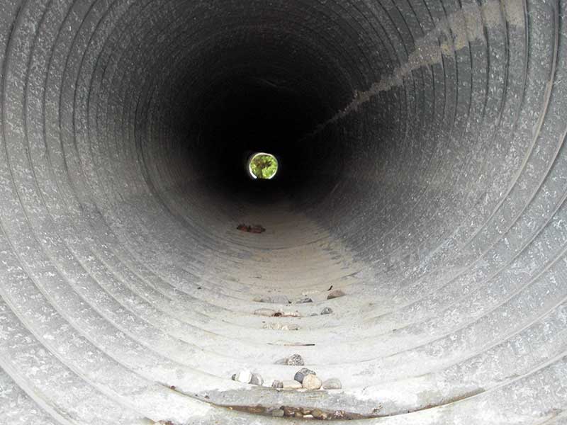
| ID: 1 | Structure Type: Circular pipe (Corrugated steel) | Fish Passage Rating: | |||||||||||||||||||||||||||||||||||||||||
|
|
|
|||||||||||||||||||||||||||||||||||||||||
Comments: overflow pipe, no water |
|||||||||||||||||||||||||||||||||||||||||||
Culvert Observations:
|
|||||||||||||||||||||||||||||||||||||||||||
| ID: 2 | Structure Type: Circular pipe (Corrugated steel) | Fish Passage Rating: | |||||||||||||||||||||||||||||||||||||||||
|
|
|
|||||||||||||||||||||||||||||||||||||||||
Comments: Most flow is in pipe 2 |
|||||||||||||||||||||||||||||||||||||||||||
Culvert Observations:
|
|||||||||||||||||||||||||||||||||||||||||||
| ID: 3 | Structure Type: Circular pipe (Corrugated steel) | Fish Passage Rating: | |||||||||||||||||||||||||||||||||||||||||
|
|
|
|||||||||||||||||||||||||||||||||||||||||
Culvert Observations:
|
|||||||||||||||||||||||||||||||||||||||||||
| ID: 4 | Structure Type: Circular pipe (Corrugated steel) | Fish Passage Rating: | |||||||||||||||||||||||||||||||||||||||||
|
|
|
|||||||||||||||||||||||||||||||||||||||||
Comments: Dry overflow pipe. |
|||||||||||||||||||||||||||||||||||||||||||
Culvert Observations:
|
|||||||||||||||||||||||||||||||||||||||||||
Stream Measurements
|
|
| Stream Width Type | Distance From Crossing (ft) |
Stream Width (ft) |
|---|---|---|
| Downstream ordinary high water | 73.0 | 7.50 |
| Downstream ordinary high water | 125.0 | 8.00 |
| Downstream ordinary high water | 145.0 | 8.50 |
Elevations
| Locator ID | Culvert Number |
River Distance (ft)1 |
Distance From Crossing (ft)2 |
Relative Elevation (ft) |
|---|---|---|---|---|
| Outlet Pool Water Elev | 2 | 95.69 | ||
| Outlet Pool Water Elev | 3 | 96.00 | ||
| U/S Headwater | 2 | 96.37 | ||
| U/S Headwater | 3 | 96.39 | ||
| D/S Grade Ctrl (Thalweg) | 0.00 | 21.5 | 95.08 | |
| D/S Water Surface Elev (WS @ GP) | 0.00 | 21.5 | 95.46 | |
| D/S Water Surface Elev (WS @ GP) | 13.00 | 8.5 | 96.78 | |
| D/S Tailcrest or 1st Thalweg | 13.90 | 7.6 | 95.20 | |
| D/S Water Surface Elev (WS @ TWC) | 13.90 | 7.6 | 95.65 | |
| D/S Thalweg (6' d/s pipe 2 bottom of out pool & confluence) | 2 | 15.50 | 6.0 | 94.80 |
| Outlet Invert | 3 | 21.50 | 0.0 | 95.62 |
| Outlet Invert | 2 | 21.50 | 0.0 | 95.38 |
| Outlet Invert (no water) | 1 | 21.50 | 0.0 | 97.94 |
| Outlet Invert | 4 | 21.50 | 0.0 | 97.97 |
| Road Elev | 45.50 | 101.42 | ||
| Inlet Culvert Invert (no water) | 4 | 69.50 | 0.0 | 97.92 |
| Inlet Culvert Invert (no water) | 1 | 69.50 | 0.0 | 97.94 |
| Inlet Culvert Invert | 2 | 69.50 | 0.0 | 95.61 |
| Inlet Culvert Invert (on substrate) | 3 | 69.50 | 0.0 | 95.94 |
| U/S Grade Ctrl (Thalweg) (1st u/s TC) | 78.00 | 8.5 | 96.58 |
Notes:
- River distance is measured continuously throughout the survey reach along the thalweg of the stream.
- Measured from each end of the crossing along the thalweg of the stream.
Fish Sampling Efforts
No fish sampling occurred during this survey.
Fish Observations
No fish observations occurred during this survey.
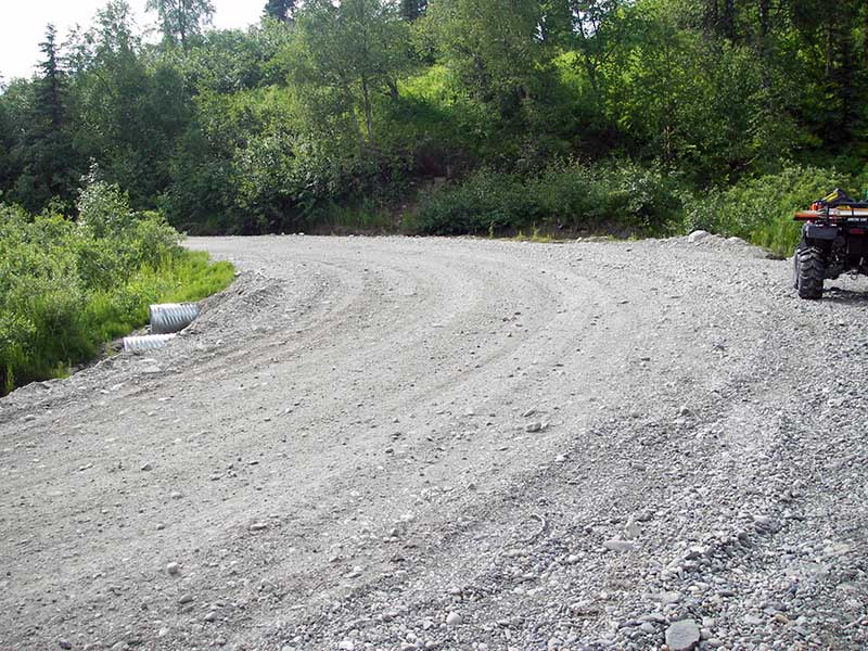
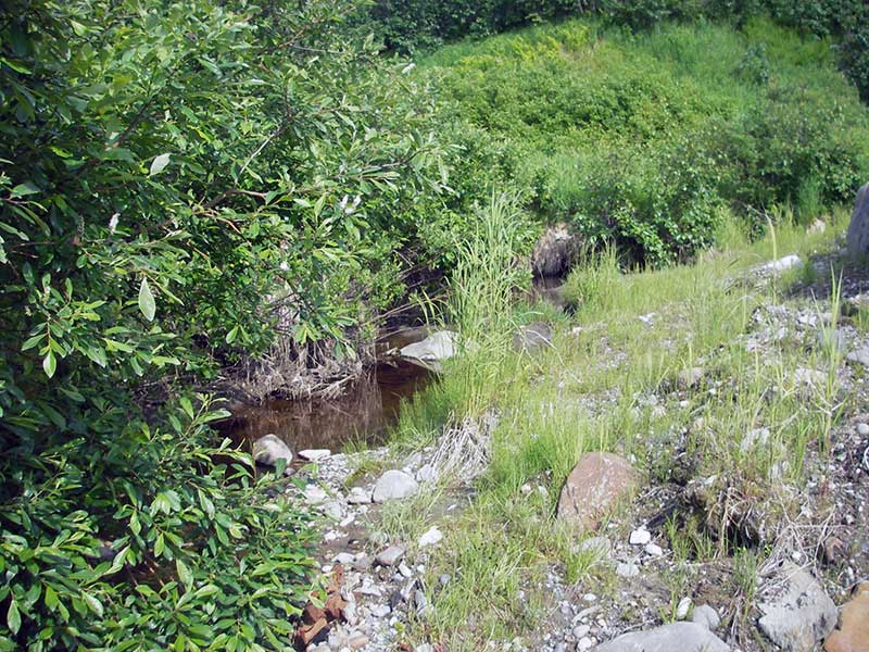
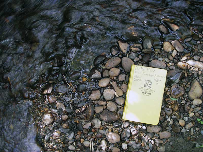
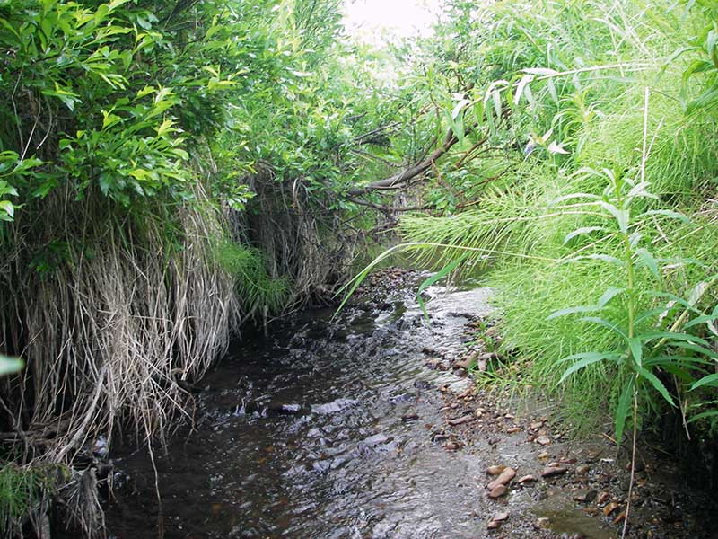
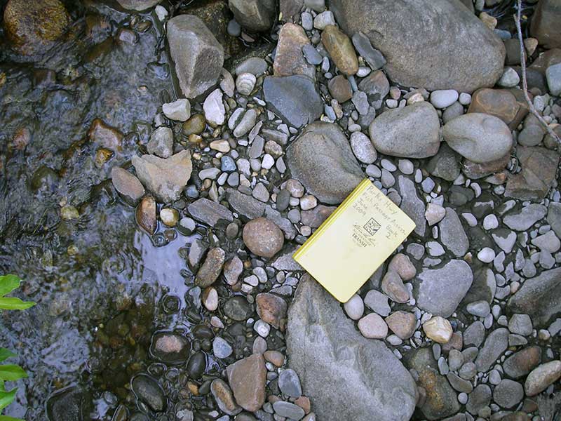
Photos

Questions or comments about this report can be directed to dfg.dsf.webmaster@alaska.gov